El Camino Del Diablo (Rogue Trip) camping info.

Status
Not open for further replies.

Pskhaat

2005 Expedition Trophy Champion
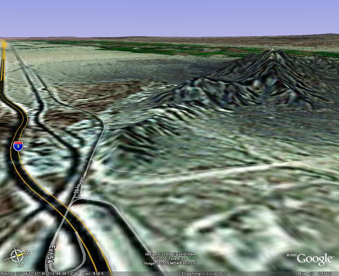
Camping the first night in the Yuma area. Would like suggestions of a good first night camping spot. I've considered the Muggins Wilderness just a little north of I8 about 20 miles east of Yuma. Anyone been there?

Would prefer not to stay in an RV park...so any suggestions on a remote (yet easy back-onto I8) place?

But would consider ANY nice/scenic stop along the PHX->Yuma route.
 
Last edited:

Hltoppr

El Gringo Spectacular!
Perhaps some locals (to Yuma) can clear this up, but I've found in my trip prep. for Mexico that solo camping in S. Arizona can be a tad.....risky, as there's quite a bit of people "traffic" wandering the desert areas...often times pretty desparate....

I plan my trips to avoid camping solo in the area, hitting a Motel 6 in Yuma if necessary...

Any local beta?

-H-
 

goodtimes

Expedition Poseur
The nice thing about Arizona....when you are "desperate", you never know how well armed the person's camp is. I have never had a problem solo camping in SoAZ....but I must admit that I have never been solo in the far s/w corner of the state. Maybe it is worse down there than places to the east and north.....
 

BajaXplorer

Adventurer
If you go into CA about 5 miles past Yuma and the Colorado River to the Algodones turnoff for Mexico you will see many, many snowbirds freecamping for the winter. Just pull up near someone and tell them your going to stay the night and like the safety of other campers in the area.
BX
 

Hltoppr

El Gringo Spectacular!
Good idea BX! I usually don't carry my AR-15 with me on the bike going to Mexico, so I'd just as soon avoid situation wherein I'd loose aeons of karma for gunning down someone who might just want a drink of water....

-H-
 

BajaXplorer

Adventurer
You might also consider driving to Quartzite and taking 95 south to Yuma. That would open up a lot of areas for camping like Kofa Widerness and Castle Dome area and your about an hour to Yuma.
BX
 

BajaXplorer

Adventurer
I am attaching a map that I have added some lines (jeep trails) to. They are additional dirt roads/tracks that are not on the MapQuest maps. As you come down 95 passed the area called Blaisdell on the map there is a road to the south it is called Rifle Range Road. It is the boondocks out there with several tracks going back up a canyon to an area where people have camped (N 32° 41.665 W 114° 22.819). This whole area is used by local 4 wheelers and there are plenty of places where I would not be hesitant to spend the night. Just wanted to let you know about it. Not particularly pretty and may not suit you, but its close in to town. If you have access to the USGS maps, look at the Fortuna Quad.
If your going to go down the west side of the mountains off of I8 to Cipriano Pass to get to El Diablo you also could camp out by the Fortuna Mine, which is a very interesting area.
BX
 

Attachments

  • yuma.JPG
    yuma.JPG
    17.5 KB · Views: 54
Last edited:

Scott Brady

Founder
I like the 95 idea as well. The Kofa is a beautiful area.

You could also camp just south of Tacna. That is a great entry point to the Diablo trail anyways.
 

BajaTaco

Swashbuckler
I don't mind taking my chances in SoAZ. I've done it alot and never had a problem. (not saying it can't happen though) My wife and I backpacked across the southern part of Organ Pipe (no trails) and slept on the desert floor a stones throw from the border once :smilies27 It was incredible. PERFECT silence (not even a plane in the sky, not a breeze, not an insect... nothing) and no light pollution whatsoever.

Anyway, if you don't want to drive past Yuma, there is a place that I like right off of I-8 at the base of the Mohawk mtns. It is within earshot of the highway, but it's quick and easy, and fairly concealed. It's just before Mohawk Pass as you're heading west. You exit on the right, and double back on the road that starts to paralell the highway, then turns north. Shortly after the road turns north, start looking for two-tracks that head off towards the base of the hills. I located the red cross-hairs in the vicinity on the map. These mountains are gorgeous, and if you get there early enough, you can scramble up into them for a great view and some neat rocks (very rugged, no trails).
 

BajaXplorer

Adventurer
That is a good spot BT. Forgot all about it. We camped there one night several years ago around the side of the one hill that stands by itself nearest to the offramp.
BX
 

Pskhaat

2005 Expedition Trophy Champion
BajaTaco said:
start looking for two-tracks that head off towards the base of the hills.
Google Earth calls a road Ave 53.5E and another (just a 100 yards or so West?) Ave 52E Is that the two-tracks you're talking about?

spot.jpeg
 

BajaTaco

Swashbuckler
I'm not sure what is up with Google, but that road shown furthest west (52E) does not exist until what they show as 53 1/2E turns at about a 45 degree angle NW and then north again. That is where 52E is. The dirt tracks I mention just take off on the left side of the road, and head toward the hills.
 

BajaTaco

Swashbuckler
Here we go, try THIS link - not sure if it will work.

EDIT: Use the "settings" menu at upper right to switch to "Aerial" mode. You can use the mouse to zoom in/out and pan (like Google Earth).


Pskhaat

2005 Expedition Trophy Champion
Would probably help too if I had Windows on my desktop, eh? Okay, connecting to a Windows syste (do people still use Windows nowadays? :) ), Okay, I see what you're talking about....
 
Status
Not open for further replies.

Forum statistics

Threads
185,822
Messages
2,878,587
Members
225,378
Latest member
norcalmaier
Top