Gear
Explorer, Overland Certified OC0020
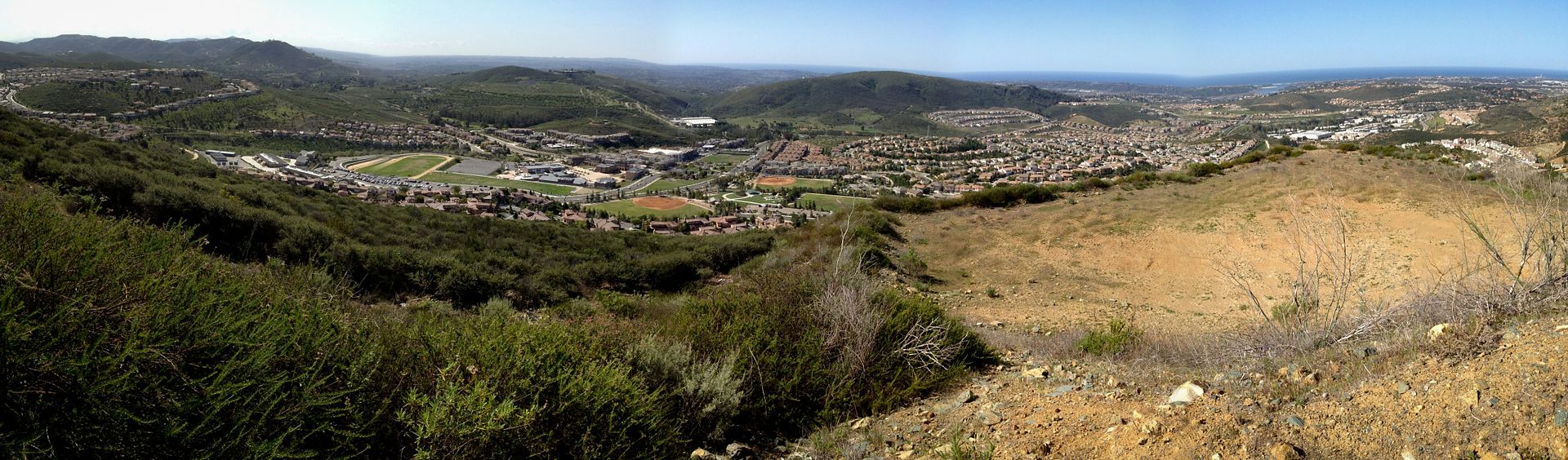
Fire Station #4 - March 4, 2012
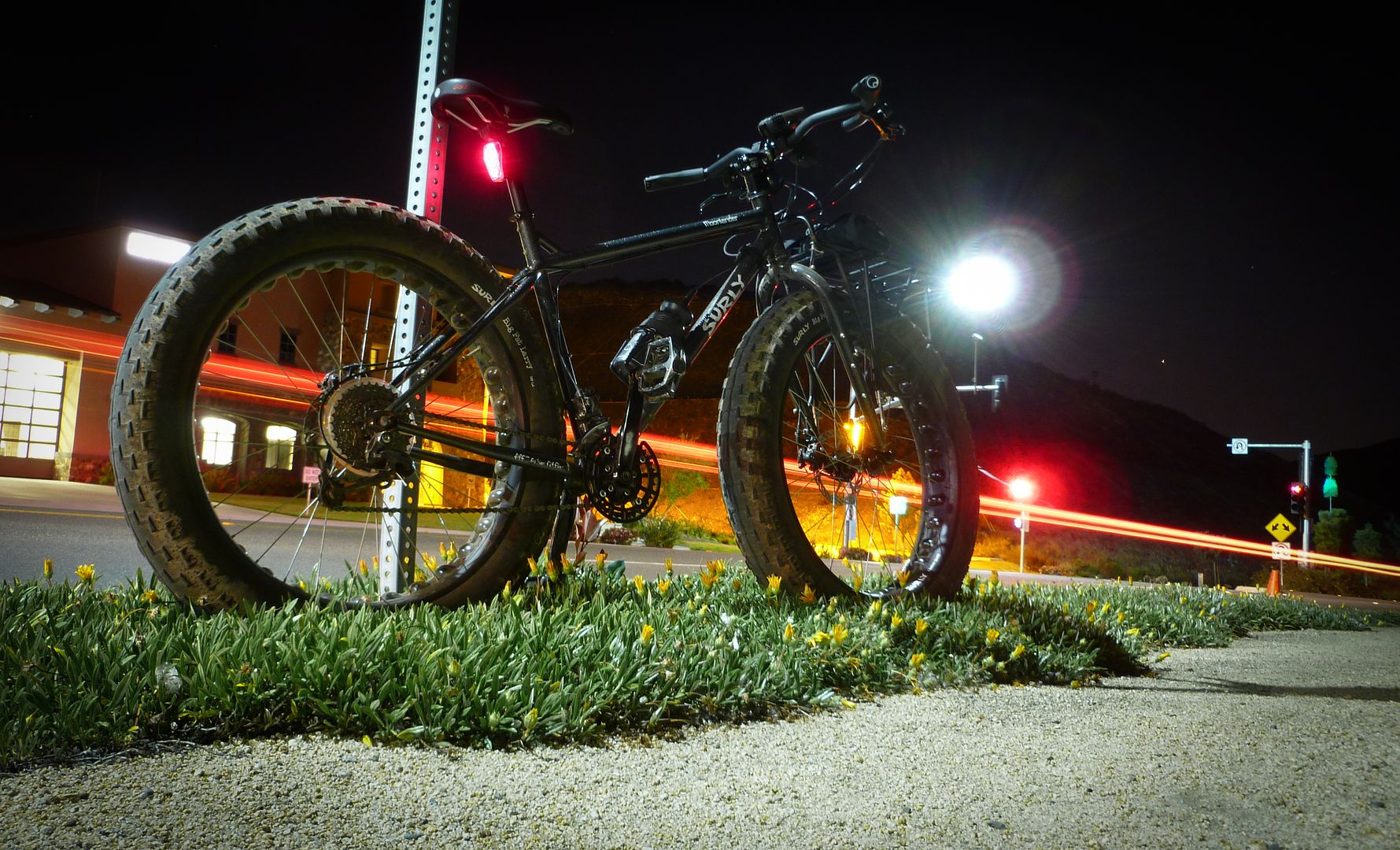
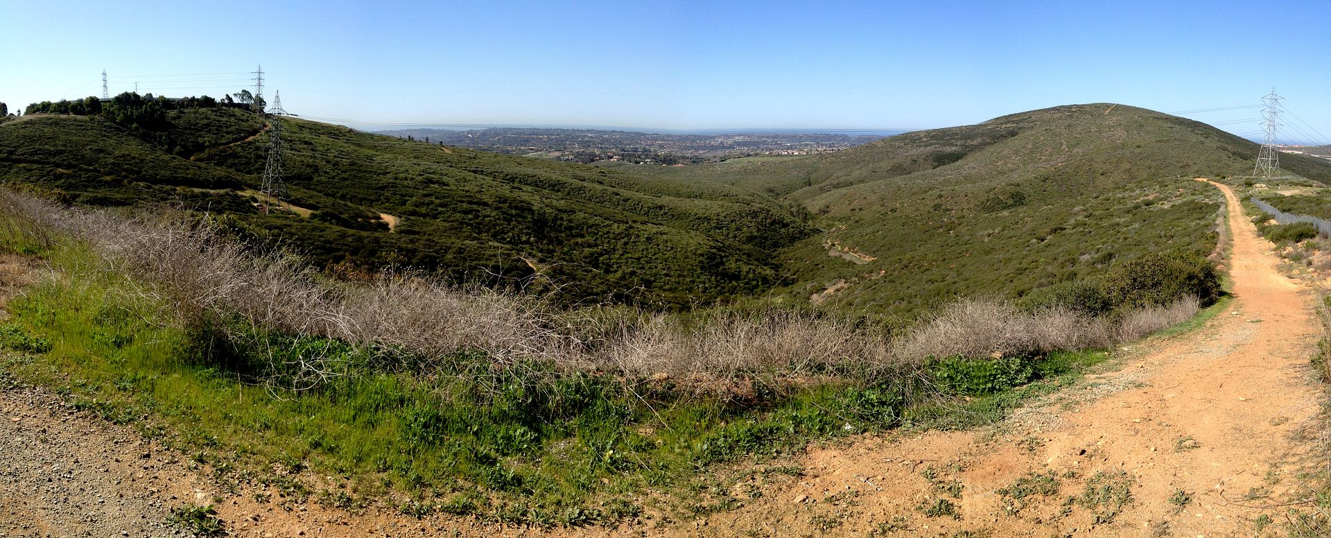
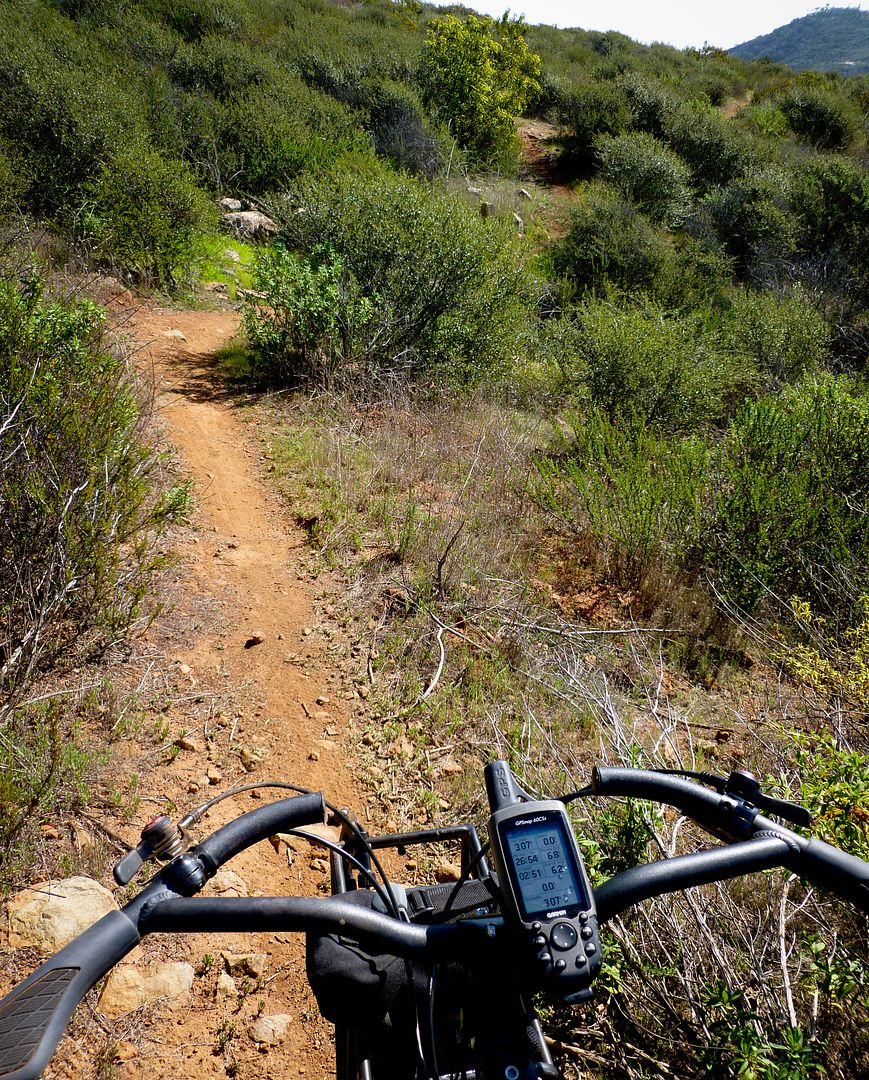
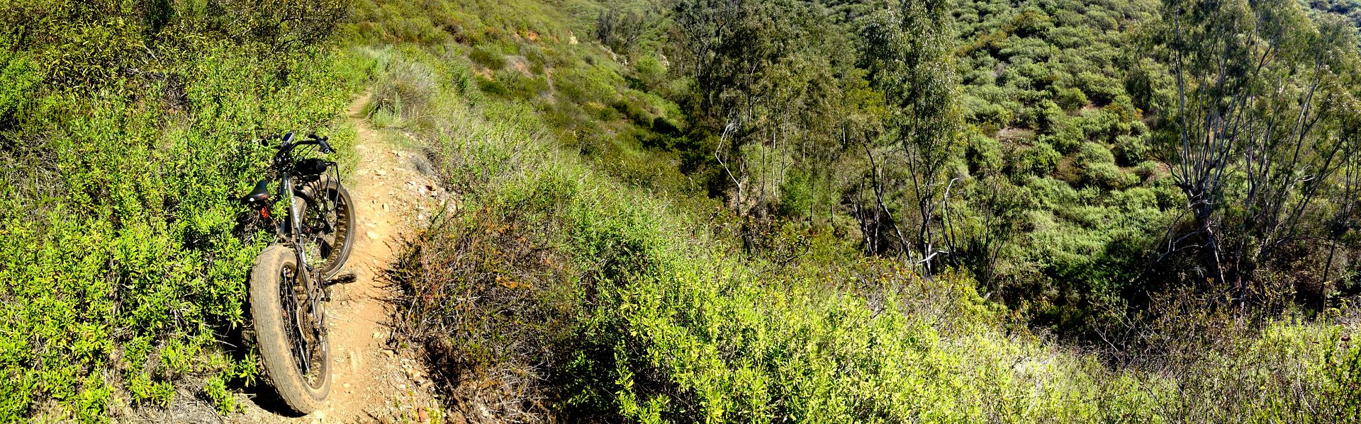
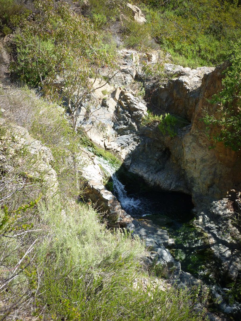
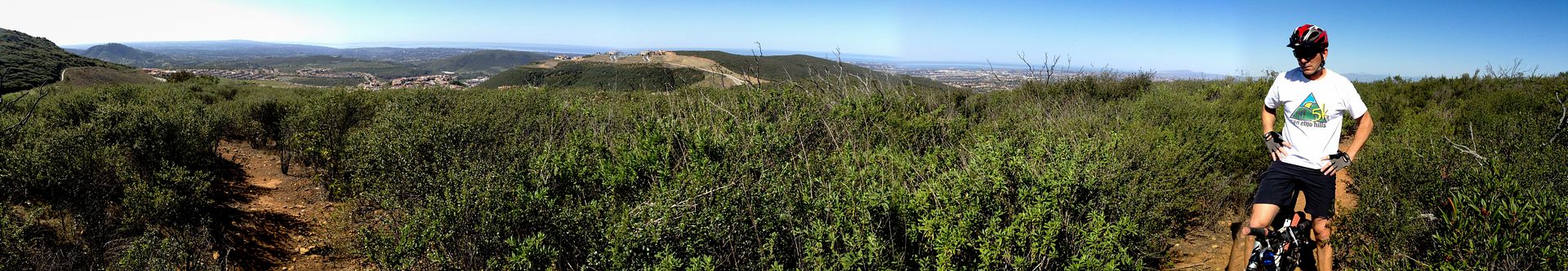
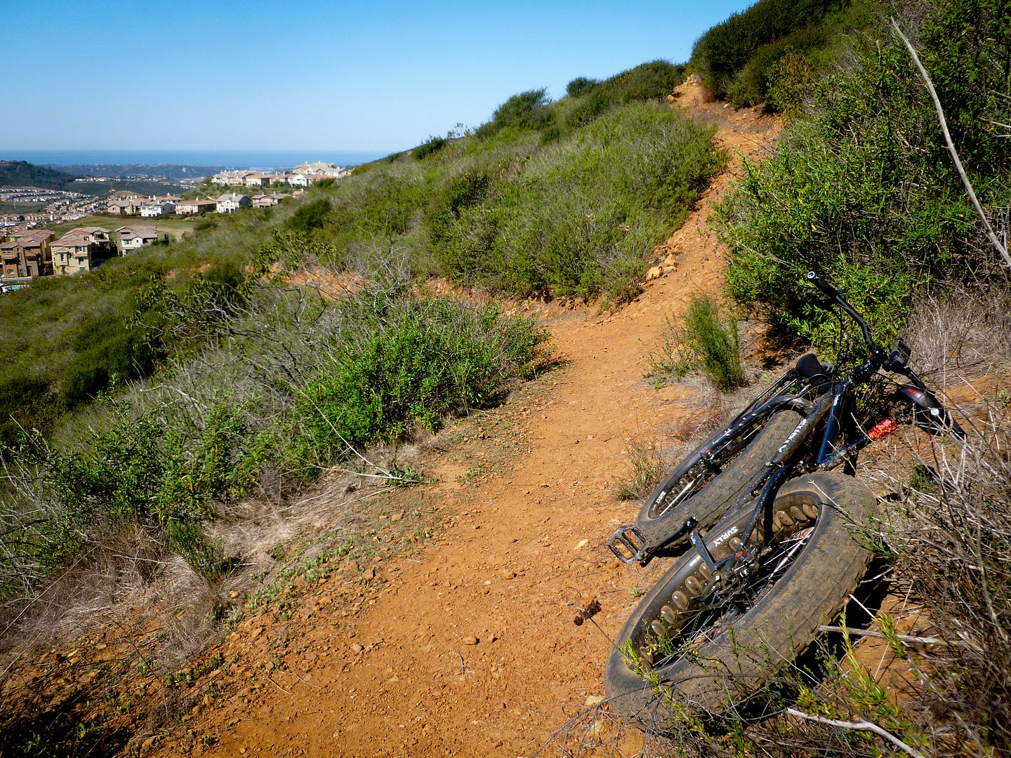
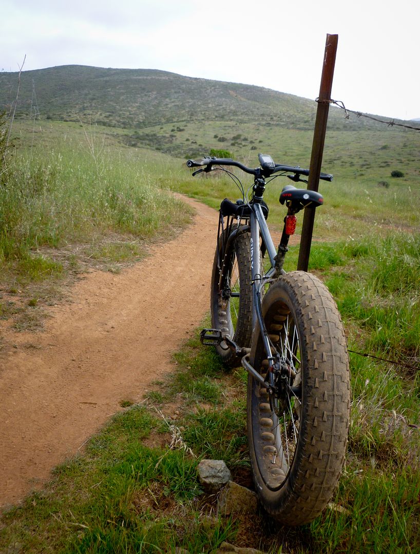
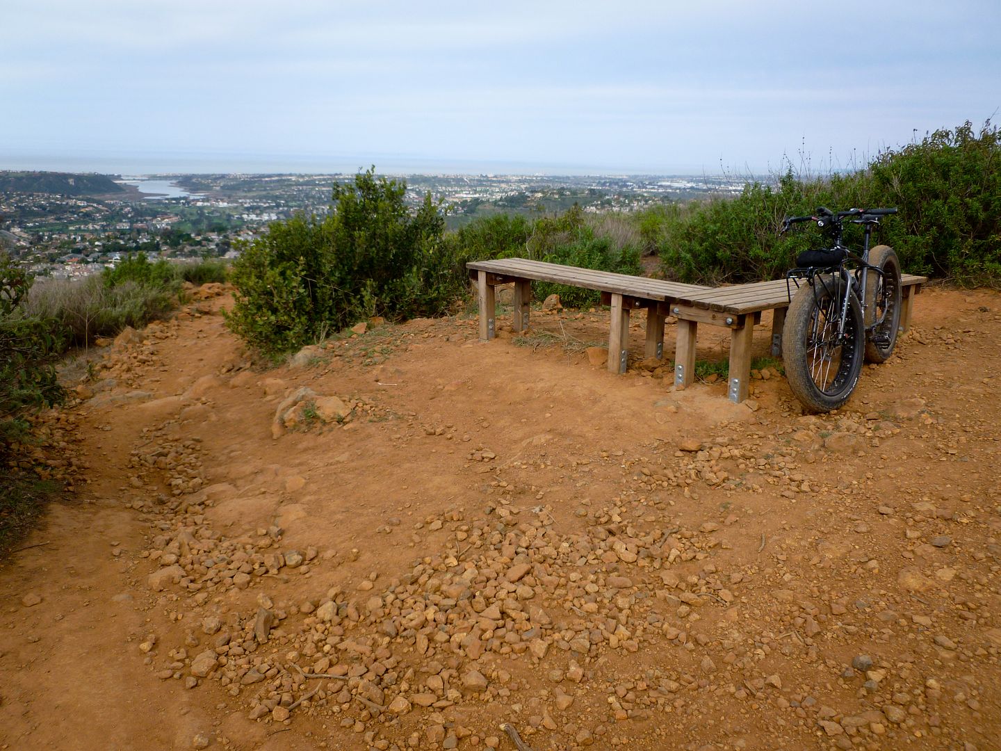
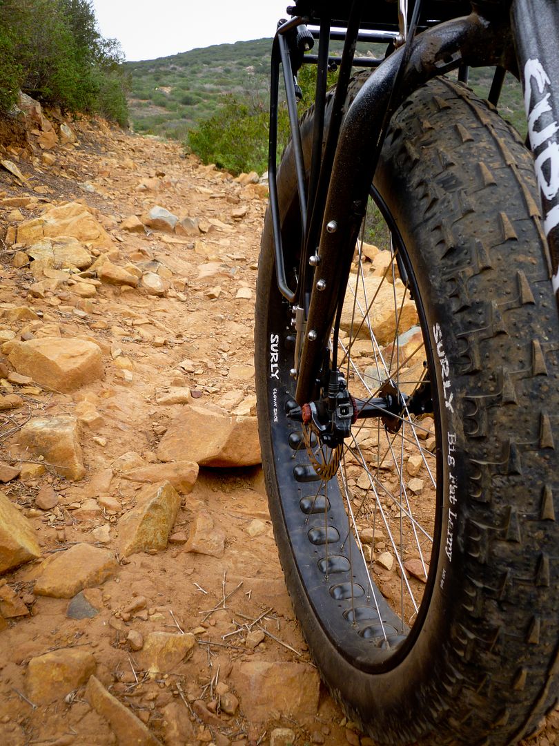
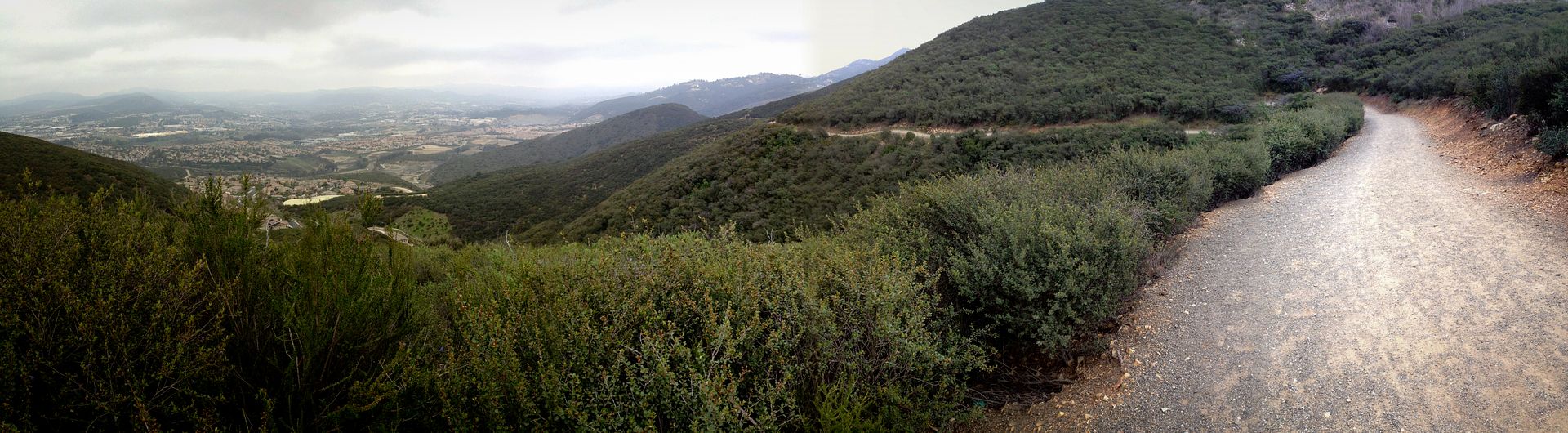
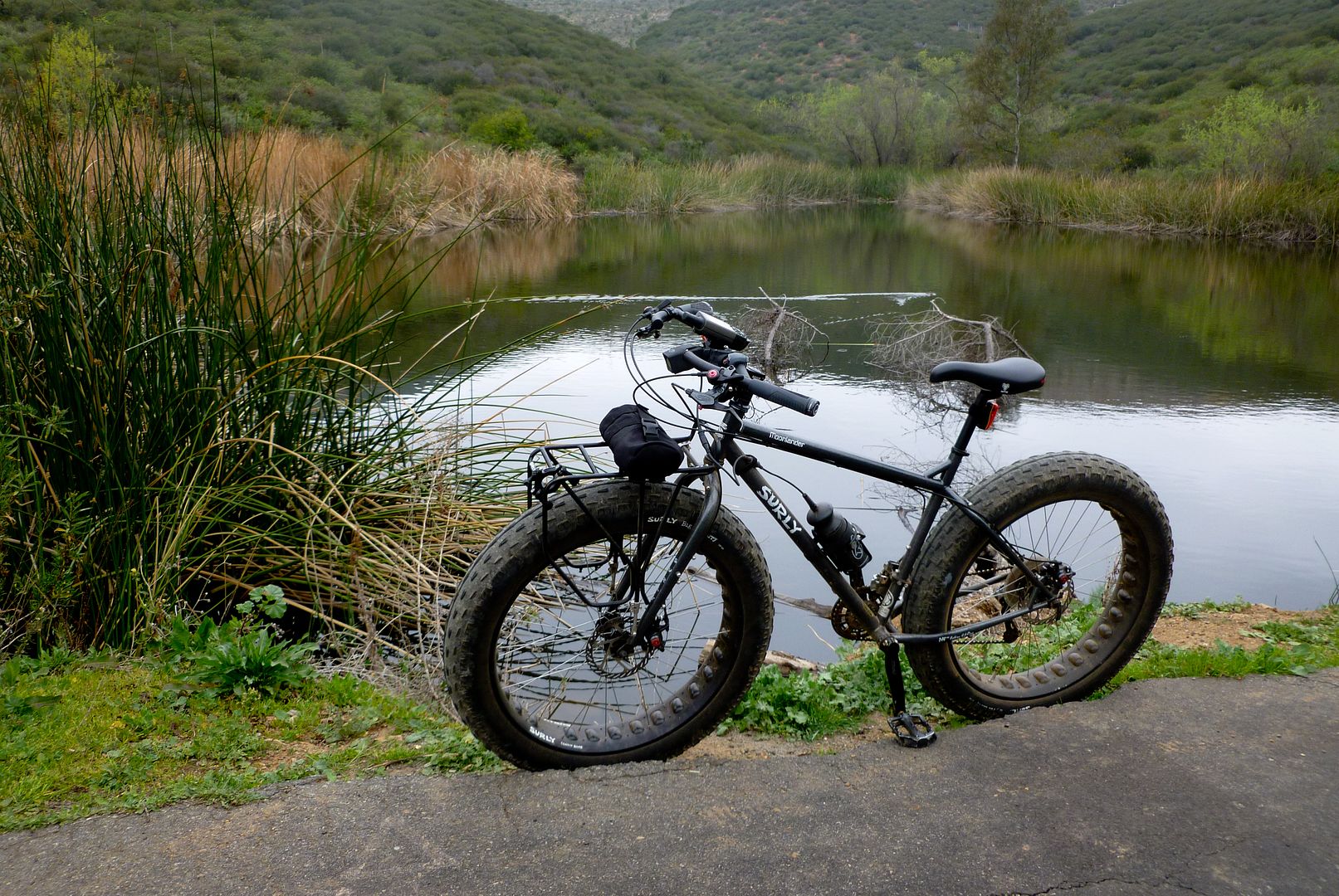
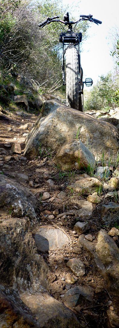
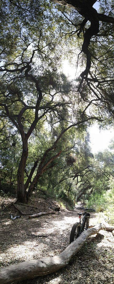
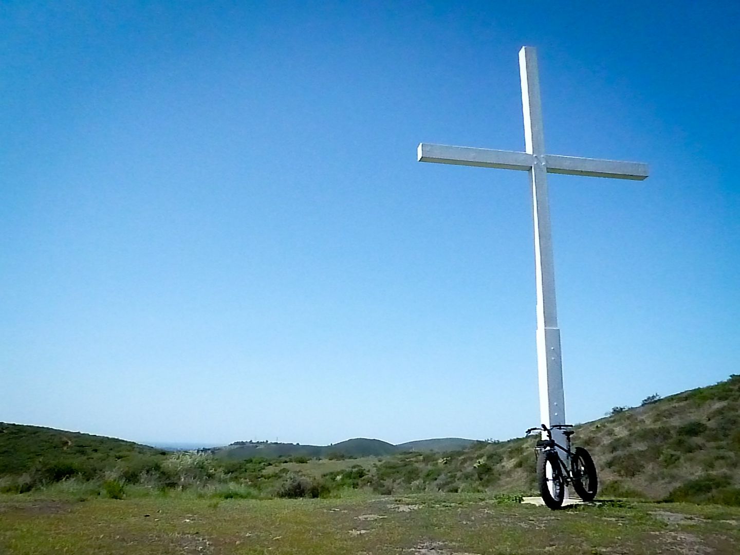
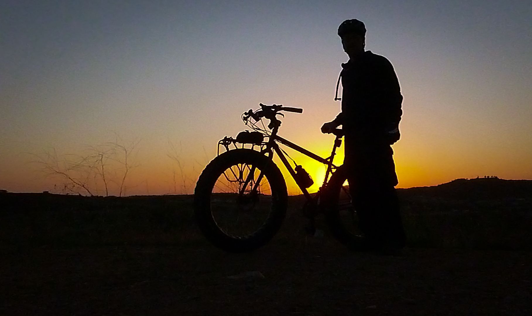
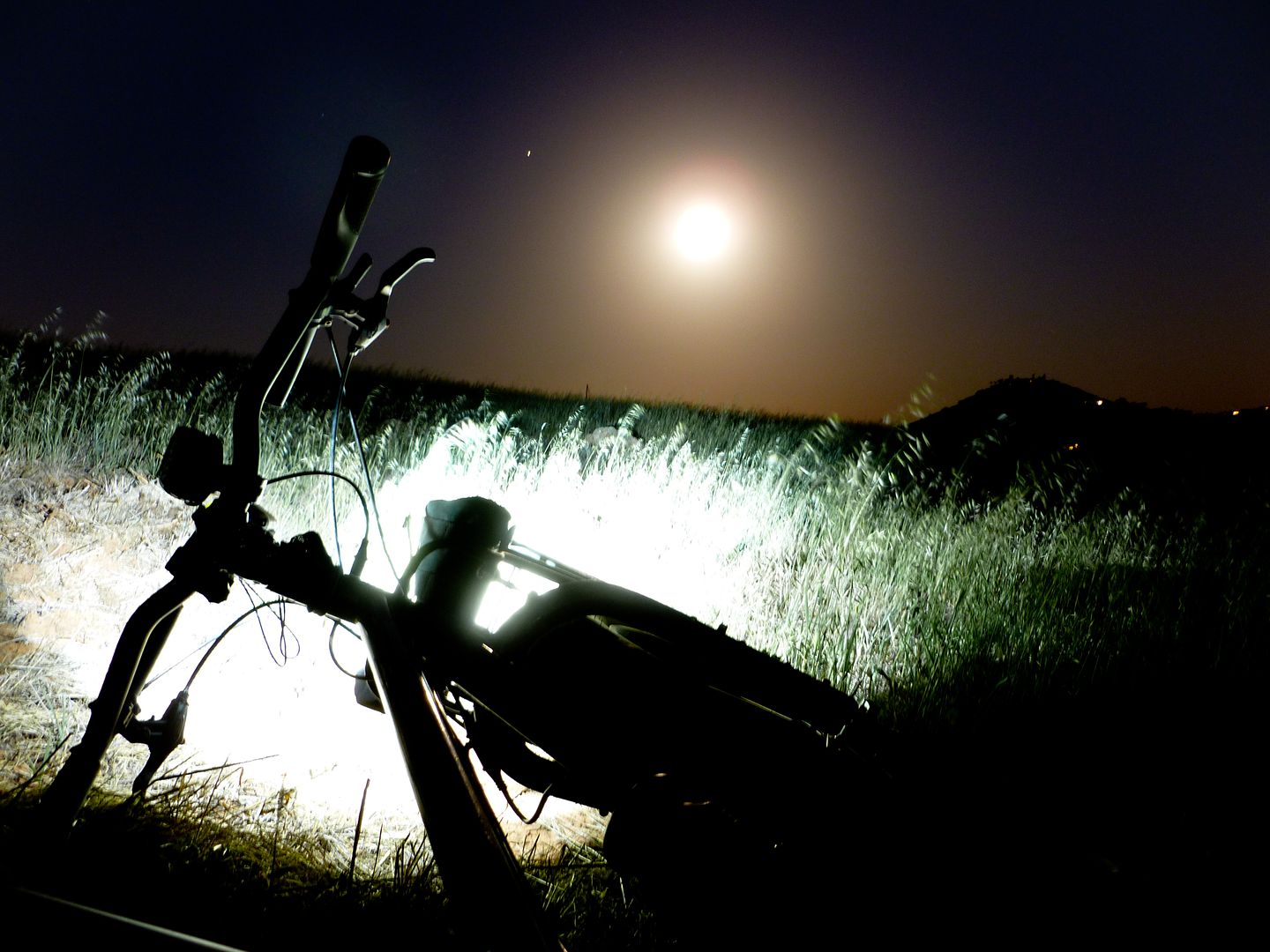
Night Ride - Took off after the boys were asleep. Quick ride up the hill to San Marcos, Fire Station #4. Awesome night out. With a warm breeze. Camera - Panasonic Lumix.
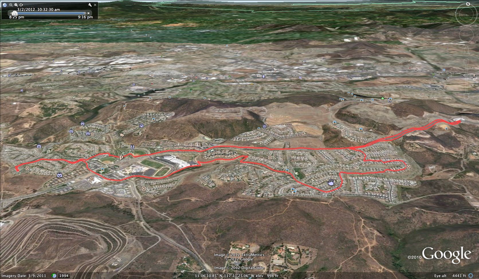
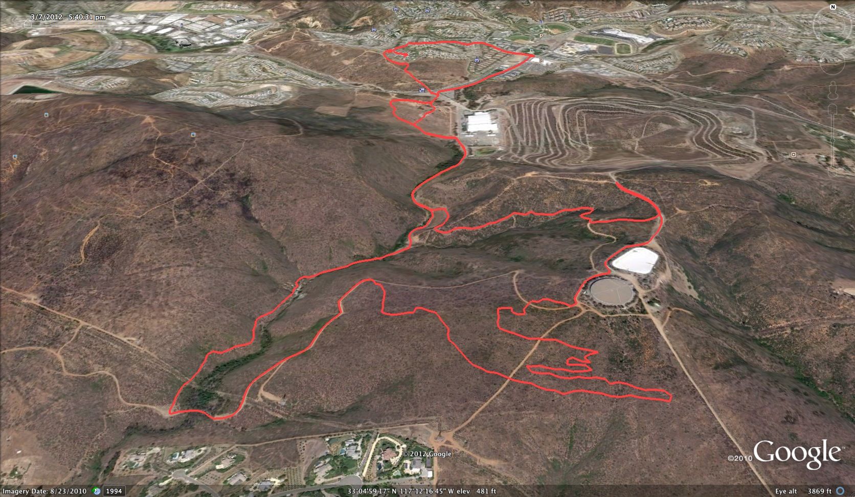
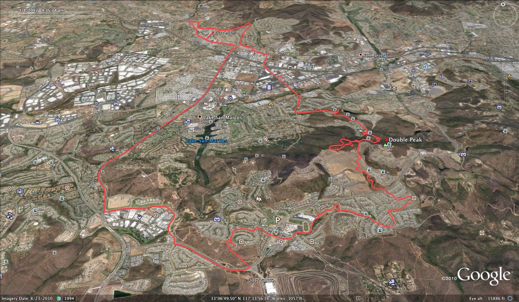
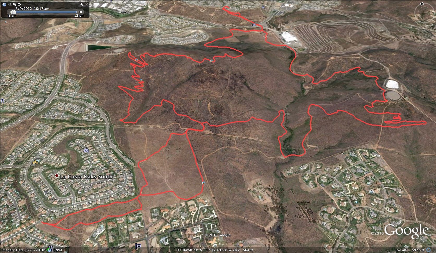
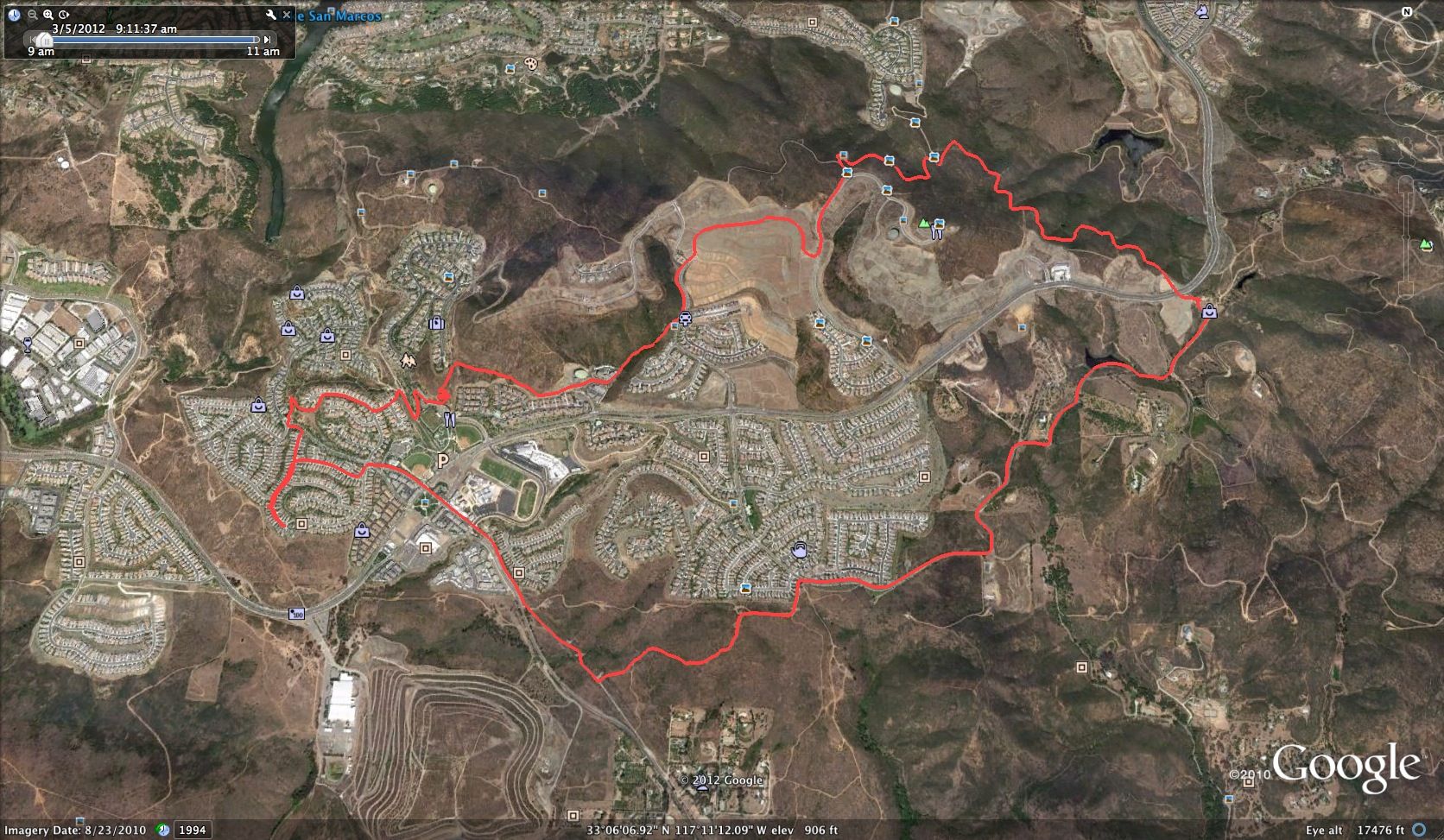
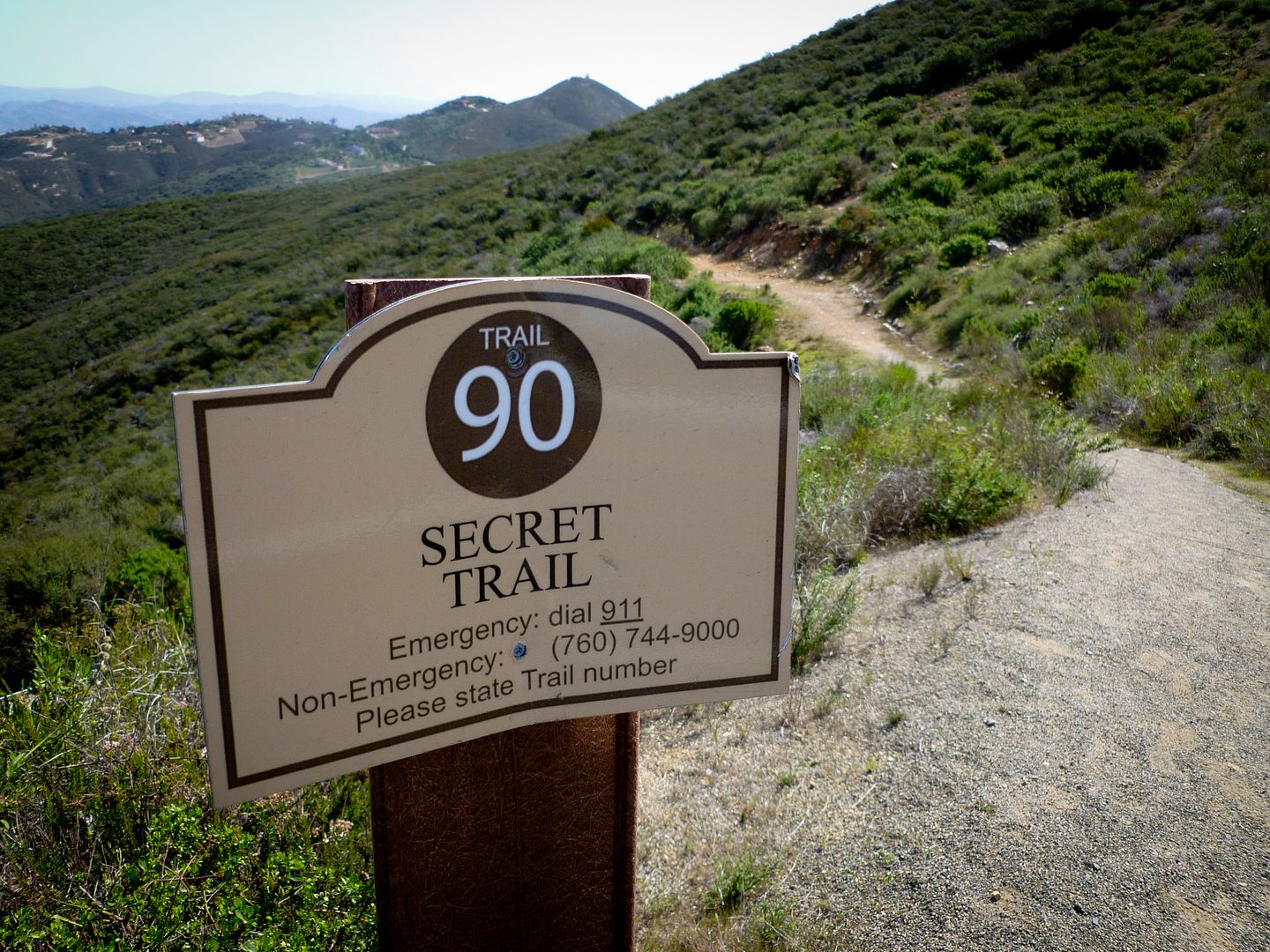
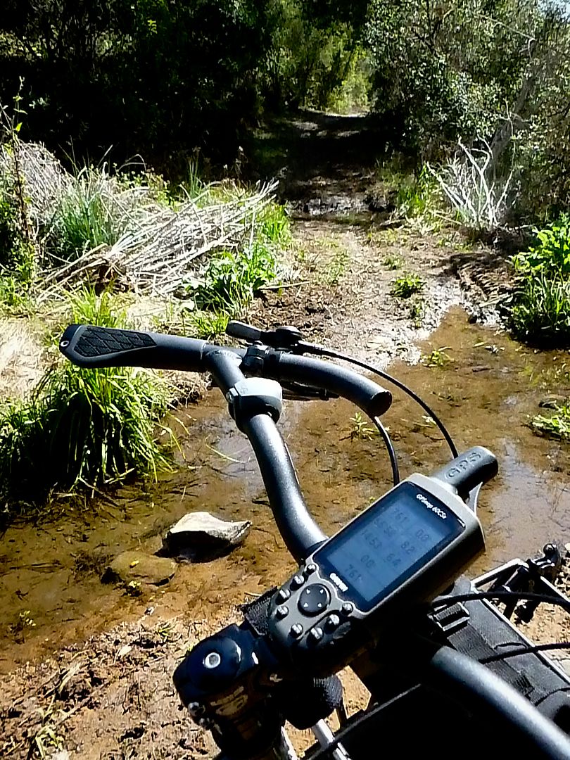
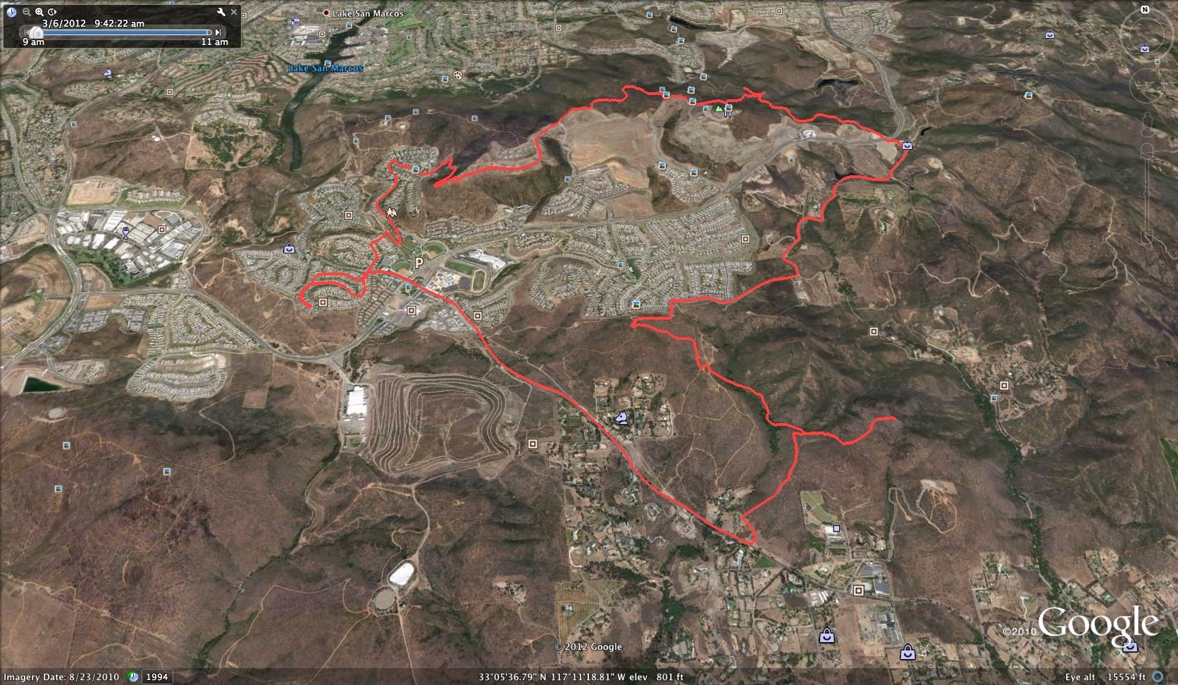
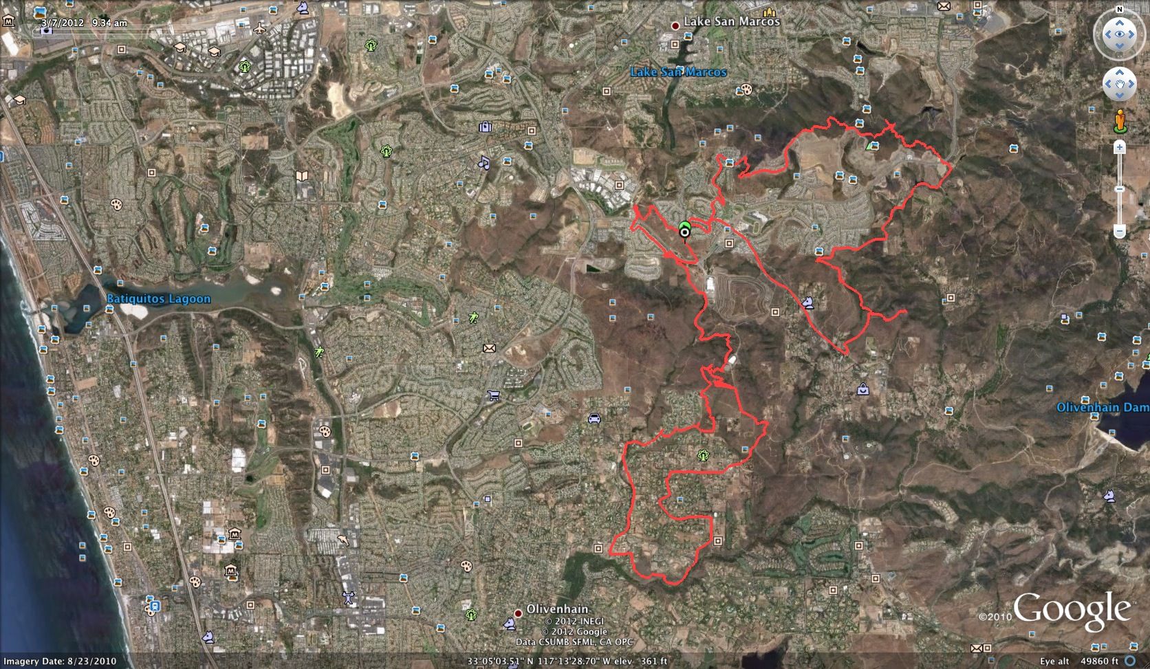
Short ride, but with all that is going on, I will take what I can get. The route.
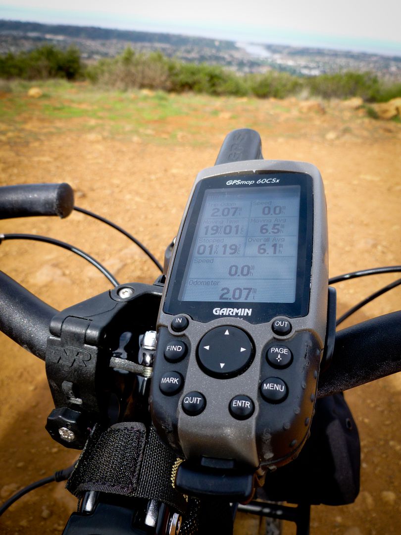
Distance 6.4 miles
Elevation 693 feet
Moving Average 10.4 mph
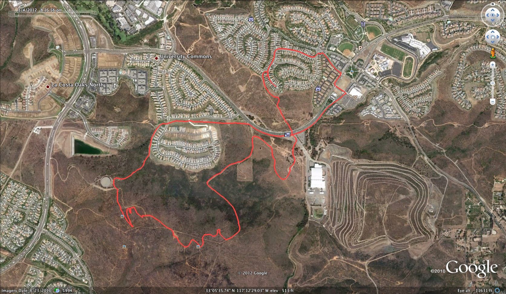
Night Ride - Took off after the boys were asleep. Quick ride up the hill to San Marcos, Fire Station #4. Awesome night out. With a warm breeze. Camera - Panasonic Lumix.
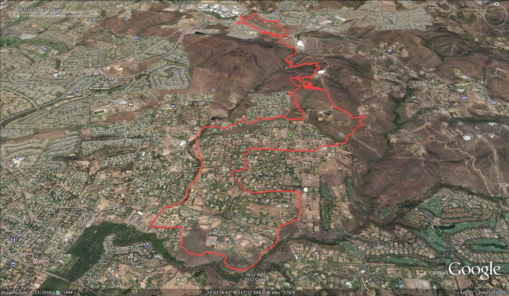
Short ride, but with all that is going on, I will take what I can get. The route.
Distance 6.4 miles
Elevation 693 feet
Moving Average 10.4 mph
")