IntrepidXJ
Explorer
Friday - Sunday, July 18-20, 2014
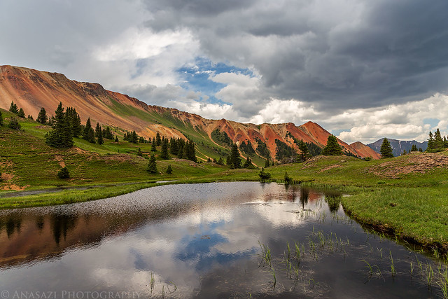
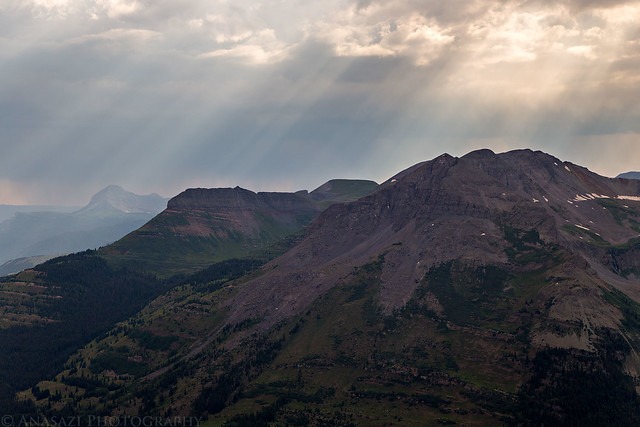
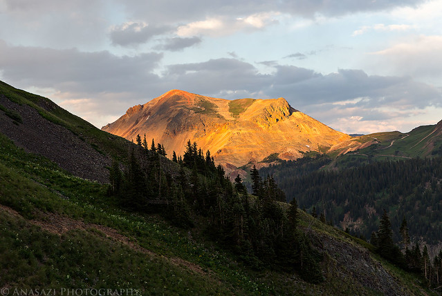
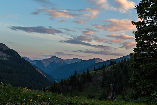
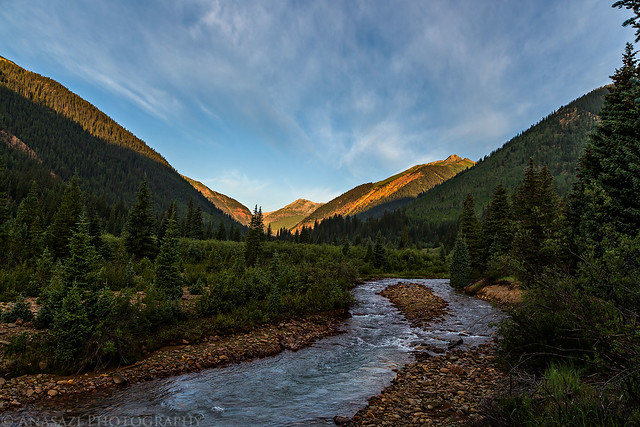
Diane and I decided to spend a relaxing weekend in the San Juan Mountains around Silverton camping, hiking, peak-bagging, driving high mountain passes and looking for wildflowers. We left after work on Friday and headed over Red Mountain Pass to the South Fork of Mineral Creek to look for a campsite. This used to be my go-to camping area near Silverton, but I couldn't believe how many people were camped along here this weekend. It was ridiculous! As we were driving back out to find somewhere else to camp, Diane spotted a nice secluded campsite along the creek that no one was at, so we setup camp there since it was getting late. We didn't have time to get anywhere else for sunset, so I just took a few photos over the South Fork of Mineral Creek behind out camp as the sun went down for the day.
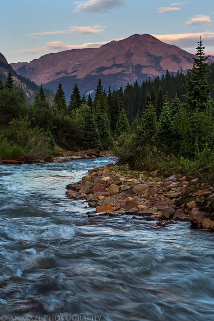
South Fork Mineral Creek by IntrepidXJ, on Flickr
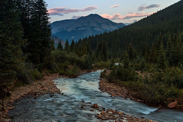
Behind Camp by IntrepidXJ, on Flickr
When we woke up bright and early on Saturday morning to catch the sunrise up at Clear Lake we found that someone else had setup their campsite not more than 20 feet away from us. This will probably be my last time camping in this area since it's become very crowded. I'll just have to go to some of the more secluded campsites I know about in the future.
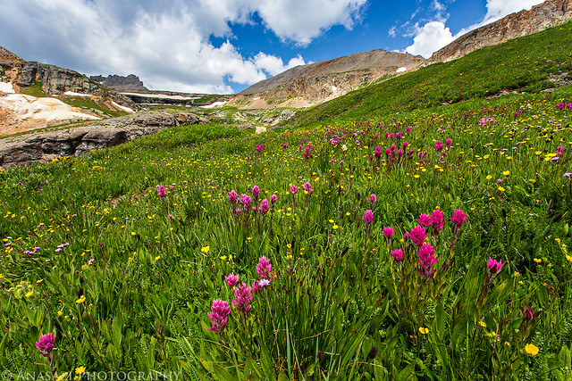
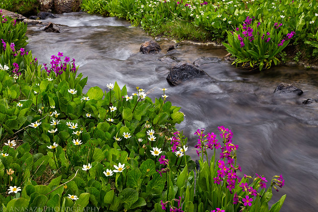
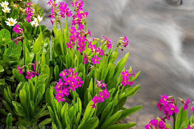
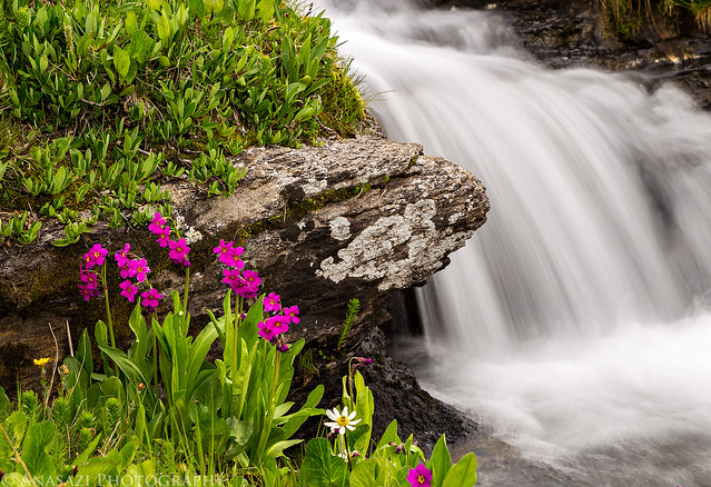
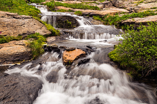
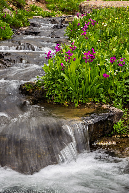
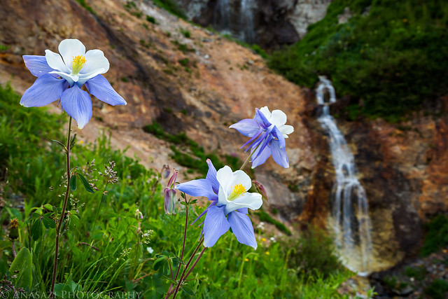
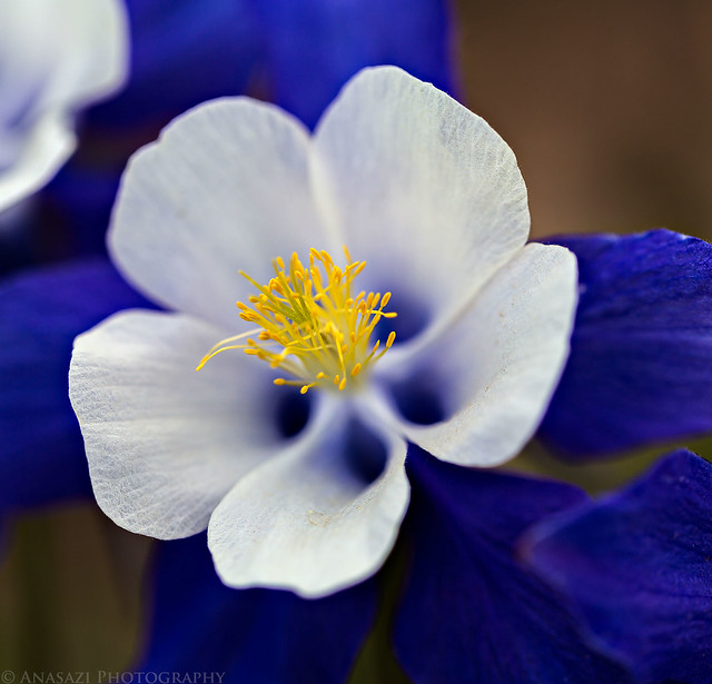
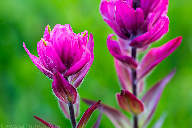
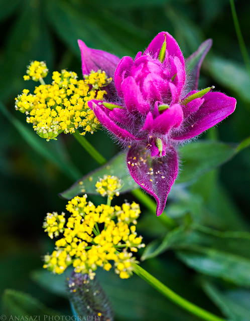
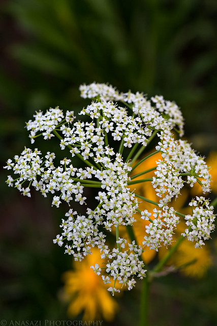
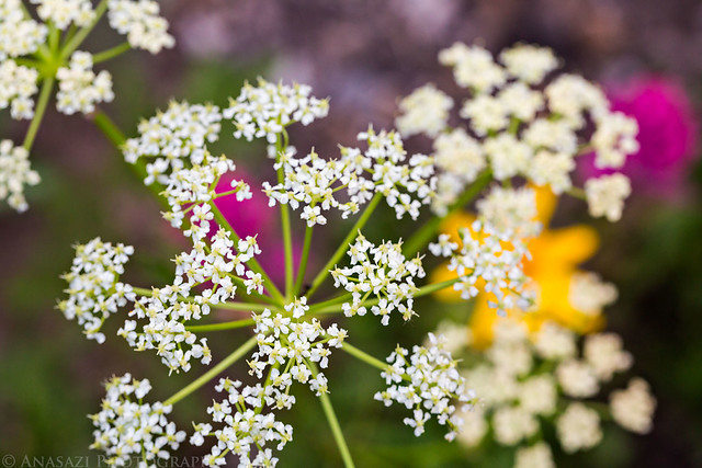
There were plenty of wildflowers to be found up by Clear Lake.
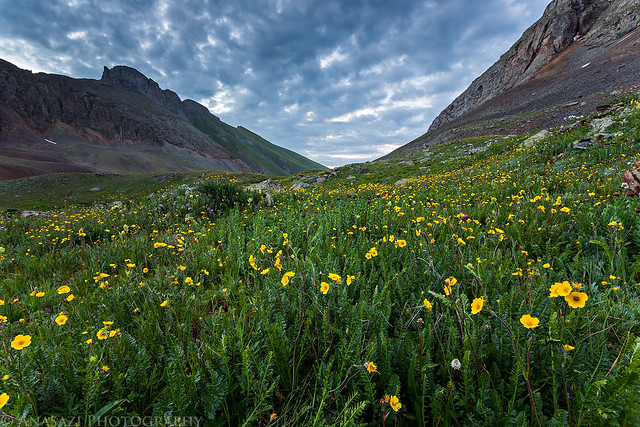
Field of Yellow Flowers by IntrepidXJ, on Flickr
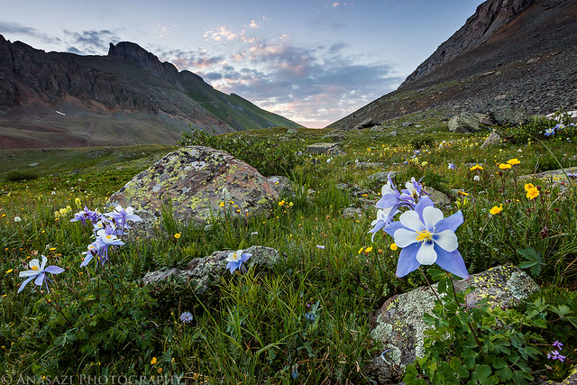
Morning Flowers by IntrepidXJ, on Flickr
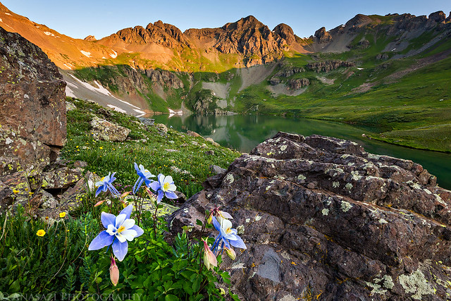
Columbines at Clear Lake by IntrepidXJ, on Flickr
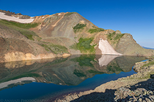
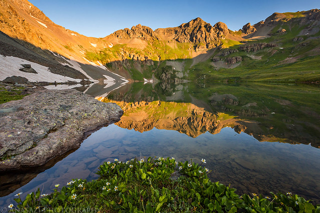
Nice reflections on the calm water, too.
Mirror by IntrepidXJ, on Flickr
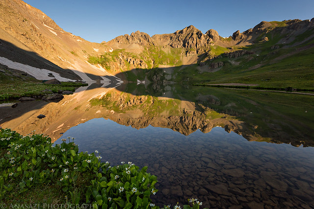
Clear Lake Sunrise by IntrepidXJ, on Flickr
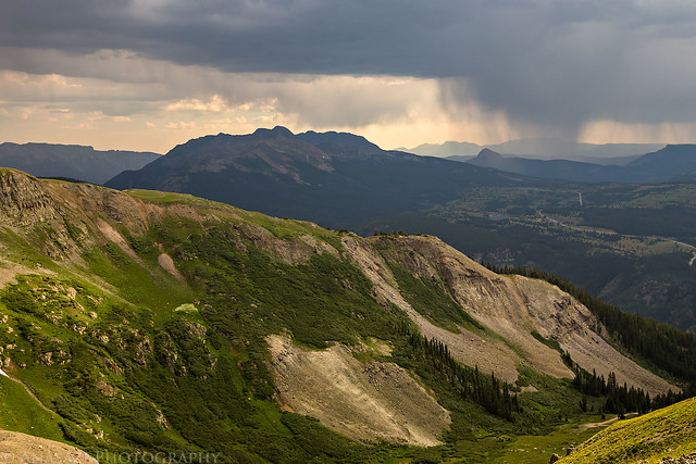
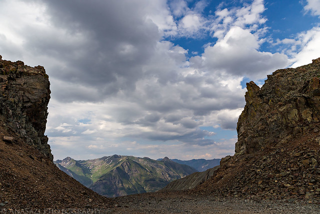
When the sun was up we drove back down to Silverton and had a good breakfast at the Brown Bear Cafe. Then we drove back up towards Red Mountain Pass and turned off on the trail to Black Bear Pass.
The sign at Black Bear Pass looking over Ingram Basin towards Telluride, which isn't visible from this angle.
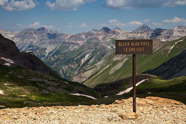
Black Bear Pass by IntrepidXJ, on Flickr
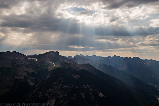
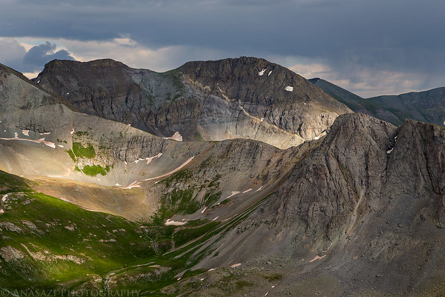
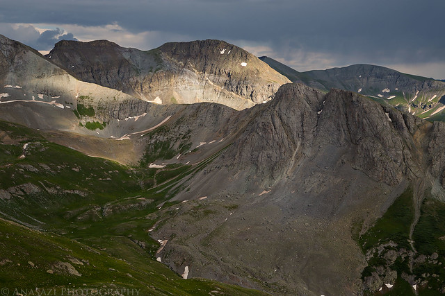
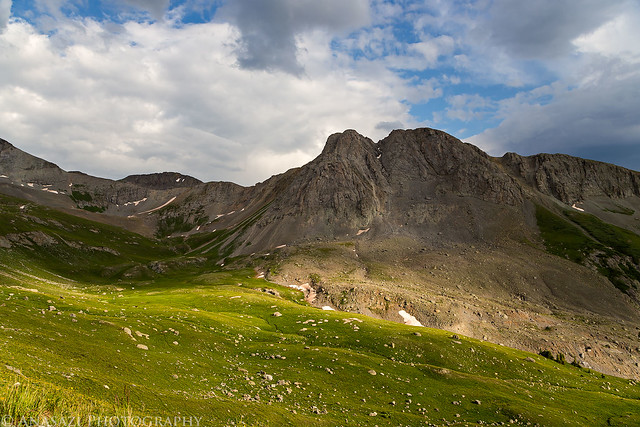
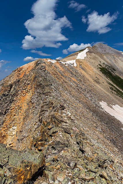
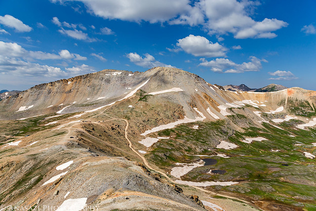
When we reached the pass we parked the Jeep and hiked to the top of Trico Peak (13,321 feet). It wasn't a long hike, but it was a little steep. The name 'Trico' comes from the fact that the peak is located at the place where three counties meet: Ouray, San Miguel and San Juan Counties.
Trico Peak from Black Bear Pass.
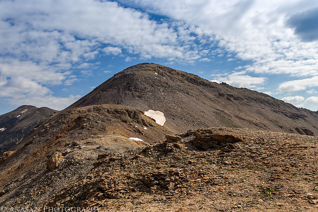
Trico Peak by IntrepidXJ, on Flickr
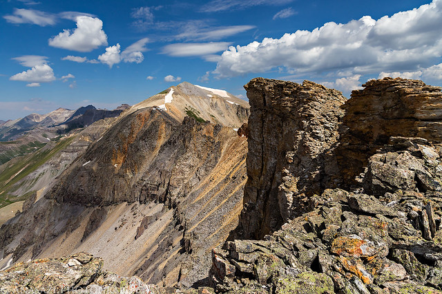
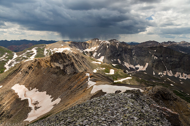
Nice light on Ingram Peak and Imgram Basin below.
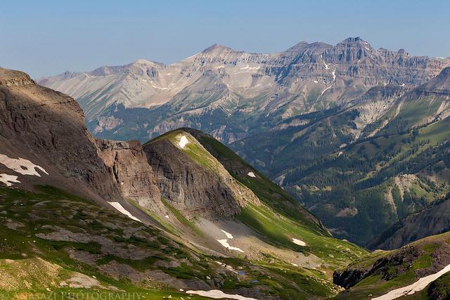
Ingram Basin by IntrepidXJ, on Flickr
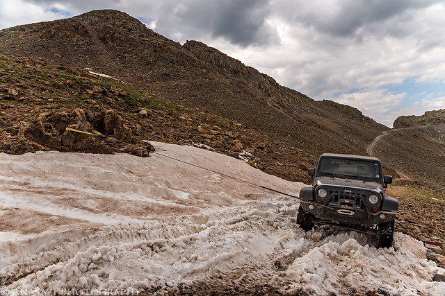
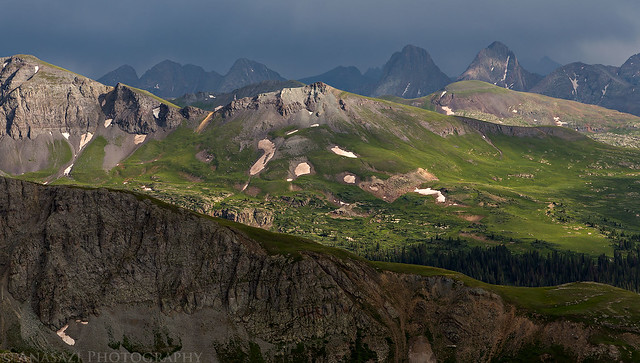
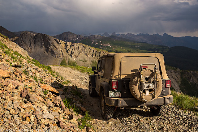
Looking back over Black bear Pass towards Paek T10 (13,477 feet). You can see my Jeep parked below and a few other vehicles over by the pass.
Black Bear Pass View by IntrepidXJ, on Flickr
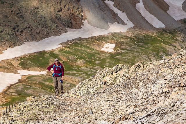
Diane on her way up Trico Peak.
Coming Up by IntrepidXJ, on Flickr
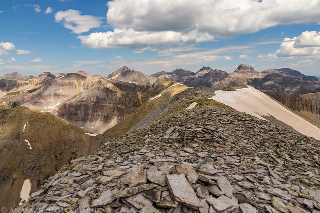
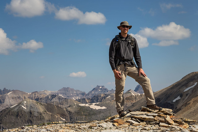
Me at the summit.
On Trico Peak by IntrepidXJ, on Flickr
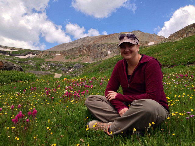
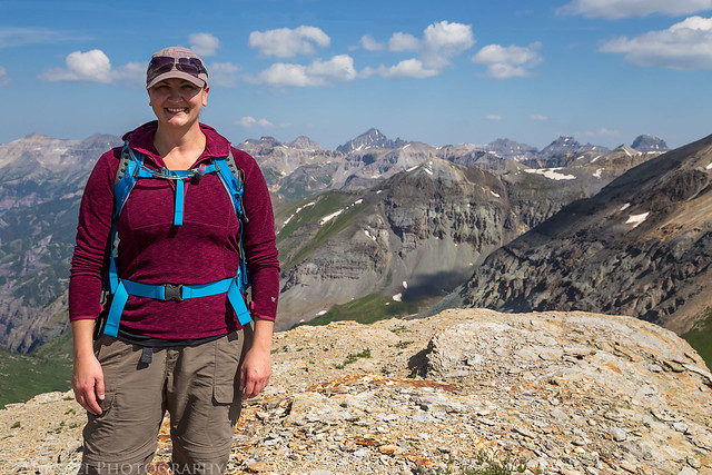
Diane at the summit. This was her first 13er. There were nice views of the Sneffels Range from up here.
Diane on Trico Peak by IntrepidXJ, on Flickr
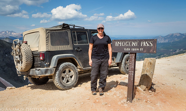
Back at my Jeep with Trico Peak in the background.
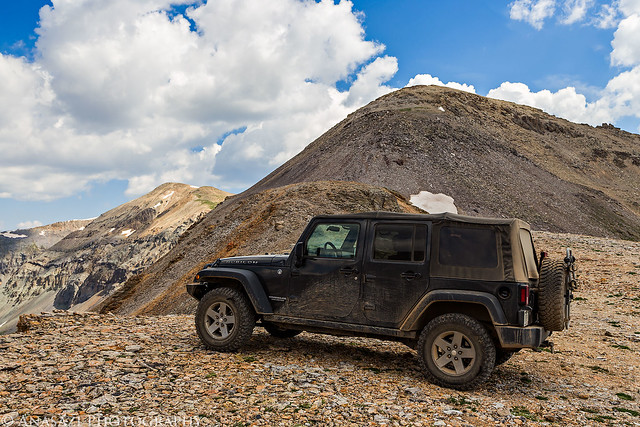
Trico Peak & Jeep by IntrepidXJ, on Flickr
Diane and I decided to spend a relaxing weekend in the San Juan Mountains around Silverton camping, hiking, peak-bagging, driving high mountain passes and looking for wildflowers. We left after work on Friday and headed over Red Mountain Pass to the South Fork of Mineral Creek to look for a campsite. This used to be my go-to camping area near Silverton, but I couldn't believe how many people were camped along here this weekend. It was ridiculous! As we were driving back out to find somewhere else to camp, Diane spotted a nice secluded campsite along the creek that no one was at, so we setup camp there since it was getting late. We didn't have time to get anywhere else for sunset, so I just took a few photos over the South Fork of Mineral Creek behind out camp as the sun went down for the day.
South Fork Mineral Creek by IntrepidXJ, on Flickr
Behind Camp by IntrepidXJ, on Flickr
When we woke up bright and early on Saturday morning to catch the sunrise up at Clear Lake we found that someone else had setup their campsite not more than 20 feet away from us. This will probably be my last time camping in this area since it's become very crowded. I'll just have to go to some of the more secluded campsites I know about in the future.
There were plenty of wildflowers to be found up by Clear Lake.
Field of Yellow Flowers by IntrepidXJ, on Flickr
Morning Flowers by IntrepidXJ, on Flickr
Columbines at Clear Lake by IntrepidXJ, on Flickr
Nice reflections on the calm water, too.
Mirror by IntrepidXJ, on Flickr
Clear Lake Sunrise by IntrepidXJ, on Flickr
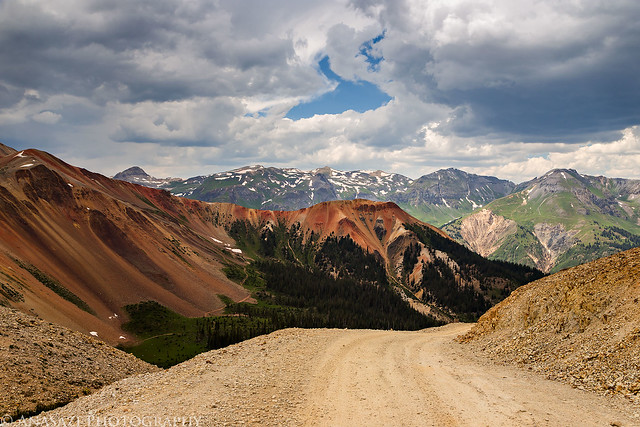
When the sun was up we drove back down to Silverton and had a good breakfast at the Brown Bear Cafe. Then we drove back up towards Red Mountain Pass and turned off on the trail to Black Bear Pass.
The sign at Black Bear Pass looking over Ingram Basin towards Telluride, which isn't visible from this angle.
Black Bear Pass by IntrepidXJ, on Flickr
When we reached the pass we parked the Jeep and hiked to the top of Trico Peak (13,321 feet). It wasn't a long hike, but it was a little steep. The name 'Trico' comes from the fact that the peak is located at the place where three counties meet: Ouray, San Miguel and San Juan Counties.
Trico Peak from Black Bear Pass.
Trico Peak by IntrepidXJ, on Flickr
Nice light on Ingram Peak and Imgram Basin below.
Ingram Basin by IntrepidXJ, on Flickr
Looking back over Black bear Pass towards Paek T10 (13,477 feet). You can see my Jeep parked below and a few other vehicles over by the pass.
Black Bear Pass View by IntrepidXJ, on Flickr
Diane on her way up Trico Peak.
Coming Up by IntrepidXJ, on Flickr
Me at the summit.
On Trico Peak by IntrepidXJ, on Flickr
Diane at the summit. This was her first 13er. There were nice views of the Sneffels Range from up here.
Diane on Trico Peak by IntrepidXJ, on Flickr
Back at my Jeep with Trico Peak in the background.
Trico Peak & Jeep by IntrepidXJ, on Flickr