IntrepidXJ
Explorer
Saturday & Sunday, August 16-17, 2014
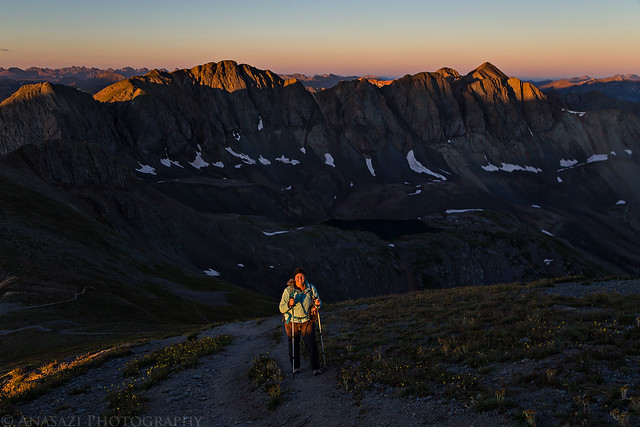
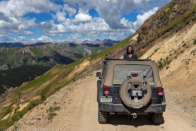
Diane has been hiking in the mountains with me all summer and was finally ready to try climbing her first 14er. She left the decision of which 14er we would climb up to me, so I decided we would hike up Handies Peak in the San Juan Mountains. Handies Peak was my first 14er back in 2010, so I knew it would be a good one to start out on. It's also one of the easier hikes at 2.9 miles in length (one way) with 2,500 feet of elevation gain. She has hiked longer trails with more elevation gain with me before, so I was confident she would make it to the top. Since Handies was my first, I was also looking forward to climbing it again to see how much easier it would be for me the second time around. Plus I was looking forward to getting an earlier start this time so I could watch the sunrise with a better camera from near the top.
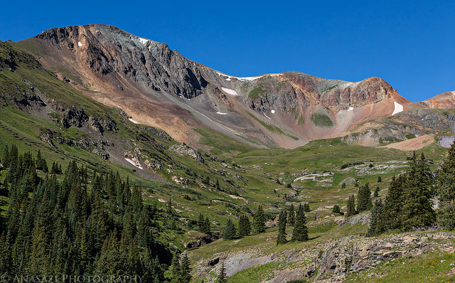
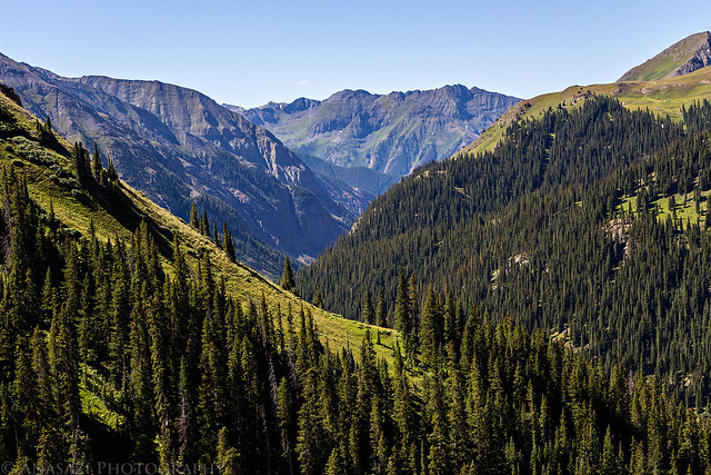
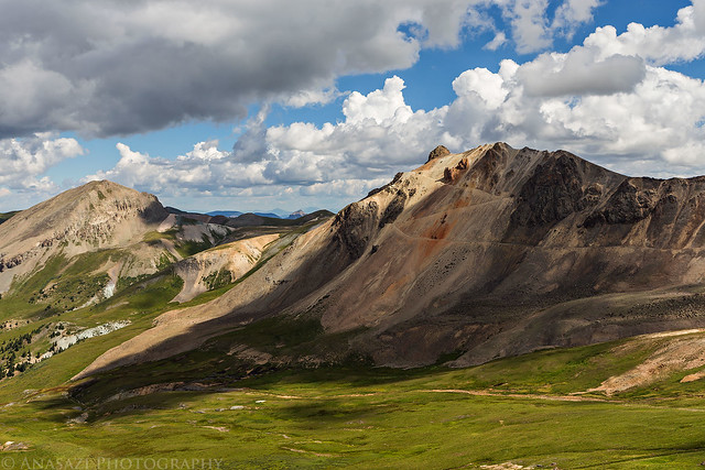
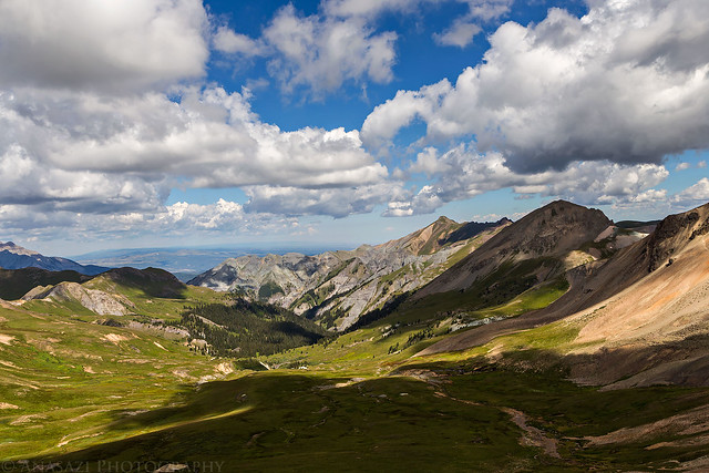
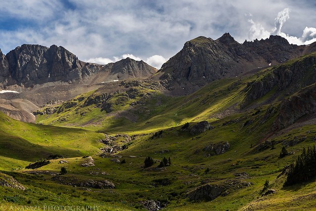
We left home on Saturday morning with plans to hike Handies Peak (14,048 feet) bright and early on Sunday morning, so we took our time by driving the Alpine Loop to the trailhead in American Basin. We left the highway just outside of Ouray and followed the rough road along the Uncompahgre River and Mineral Creek, past Mineral Point, and then up to Engineer Pass at 12,800 feet. While we were up at the pass we thought it would be a good warm up to hike the short distance to the top of Engineer Mountain (13,218 feet). It was an easy hike from the pass and offered great views all around, including 14ers Uncompahgre Peak (14,309 feet), Wetterhorn Peak (14,015 feet) and Mount Sneffels (14,150 feet). There was also a nice view down into the upper portion of Bear Creek, which we had hiked partway up a few weeks ago.
A nice view up Poughkeepsie Gulch as we drove up the Alpine Loop towards Engineer Pass.
Poughkeepsie Gulch by IntrepidXJ, on Flickr
Mineral Creek Road by IntrepidXJ, on Flickr
I love the shadows from the clouds on the alpine tundra above tree-line.
Shadows by IntrepidXJ, on Flickr
Tundra Shadows by IntrepidXJ, on Flickr
Almost to Engineer Pass.
Up to Engineer Pass by IntrepidXJ, on Flickr
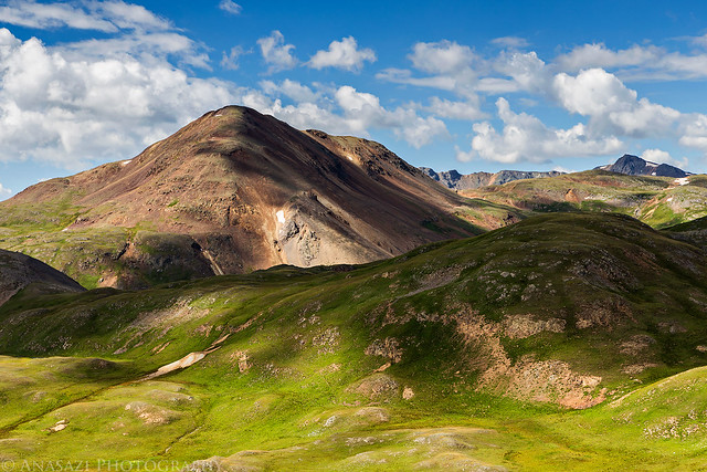
Darley Mountain (13,260 feet) comes into view.
Darley Mountain by IntrepidXJ, on Flickr
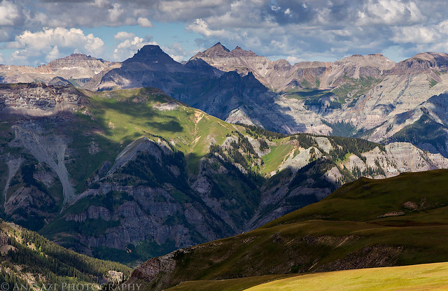
A view towards the Sneffels Range from Oh! Point.
Sneffels View by IntrepidXJ, on Flickr
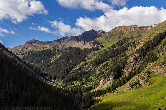
Looking down into the upper reaches of Bear Creek.
Bear Creek by IntrepidXJ, on Flickr
More shadows on the tundra towards the Sneffels Range.
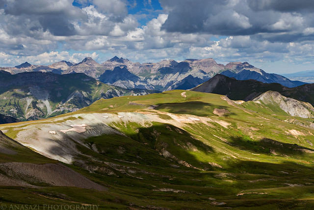
Sneffels Shadows by IntrepidXJ, on Flickr
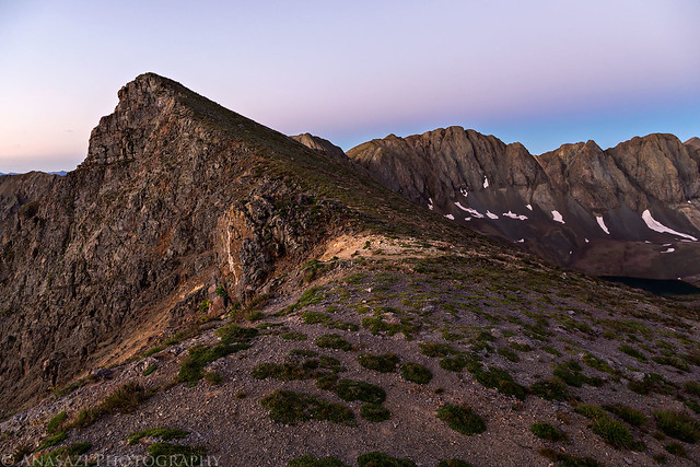
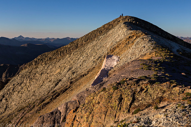
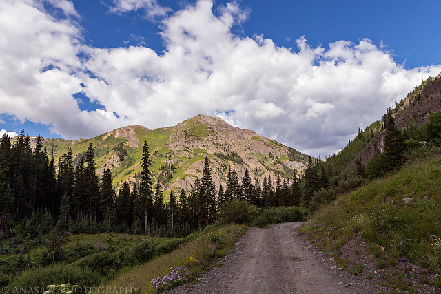
A straightforward hike to the top of Engineer Mountain.
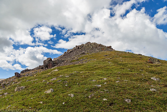
Engineer Mountain by IntrepidXJ, on Flickr
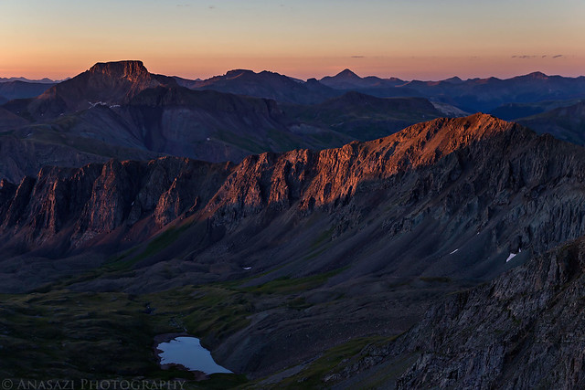
Nice view from the top of Wetterhorn Peak (left) and Uncompahgre Peak (right).
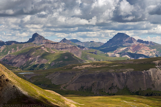
Wetterhorn & Uncompahgre by IntrepidXJ, on Flickr
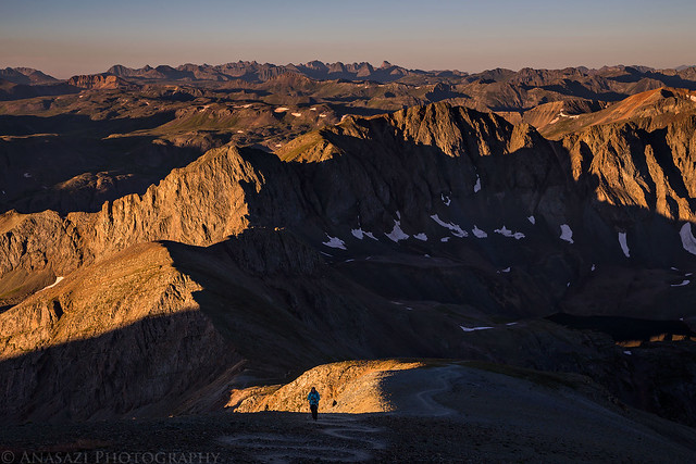
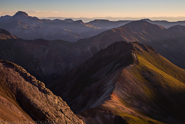
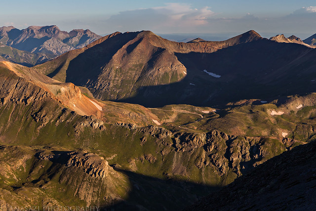
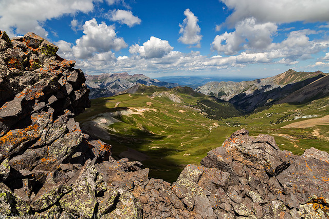
View from the top.
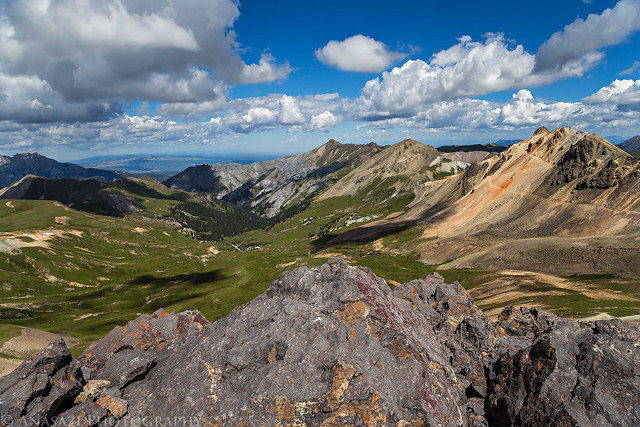
Engineer Summit View by IntrepidXJ, on Flickr
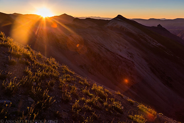
I liked the dark shadow of the cloud below.
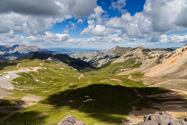
Cloud Shadow by IntrepidXJ, on Flickr
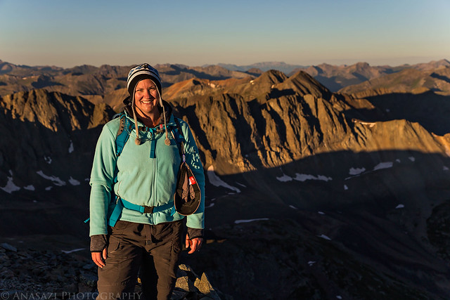
Diane on the summit.
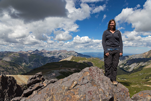
Engineer Mountain Summit by IntrepidXJ, on Flickr
Engineer View by IntrepidXJ, on Flickr
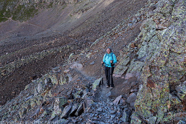
Coming back down from the top.
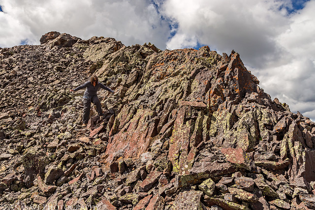
Coming Down by IntrepidXJ, on Flickr
After spending some time on the summit and then hiking back to the Jeep, we continued over the pass and dropped down to Henson Creek, which we followed to Lake City. We made one stop along the way and hiked down to Whitmore Falls.
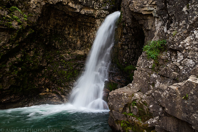
Whitmore Falls by IntrepidXJ, on Flickr
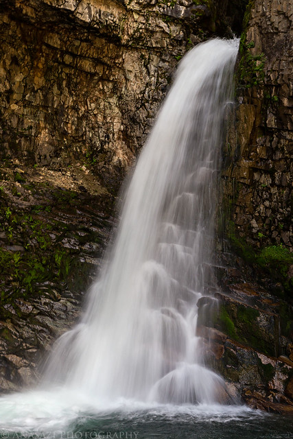
Whitmore Detail by IntrepidXJ, on Flickr
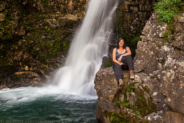
Diane at Whitmore Falls by IntrepidXJ, on Flickr
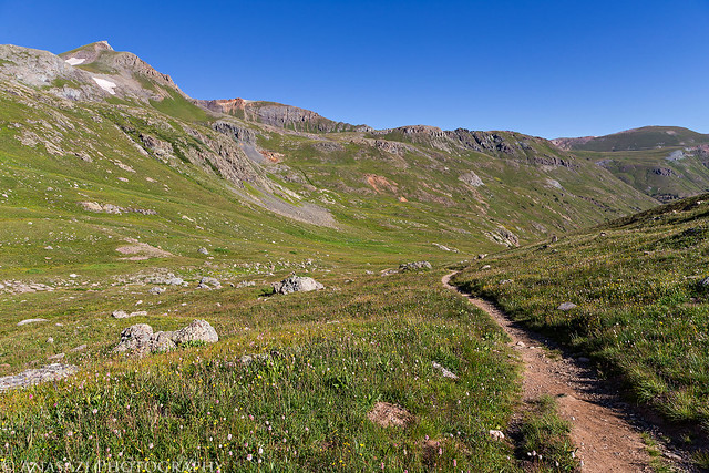
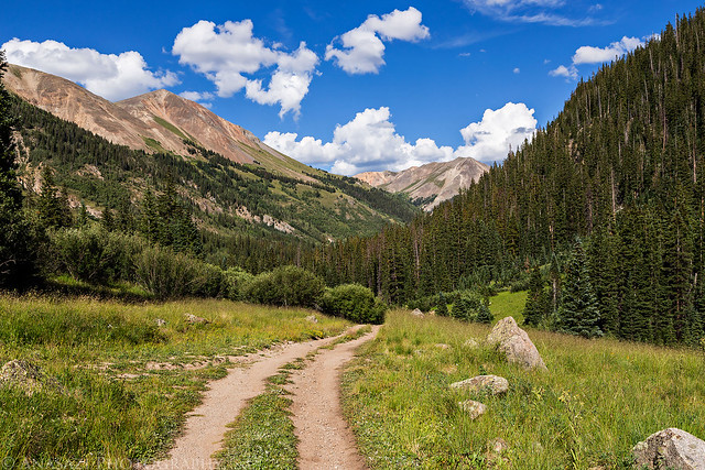
We stopped in Lake City for a late lunch before driving past Lake San Cristobal and following the Lake Fork of the Gunnison to Burrows Park. We found a nice campsite under Edith Mountain (12,620 feet) a few miles before the trailhead in American Basin that would work nicely for an early start the following morning. After setting up camp we took a quick drive up into American Basin to check it out for the morning and then went to bed early.
Our campsite for the night.
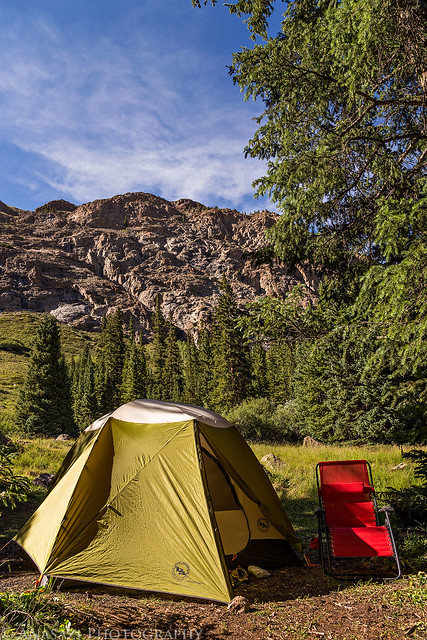
Lake Fork Camp by IntrepidXJ, on Flickr
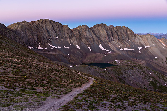
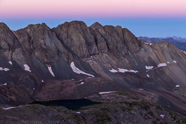
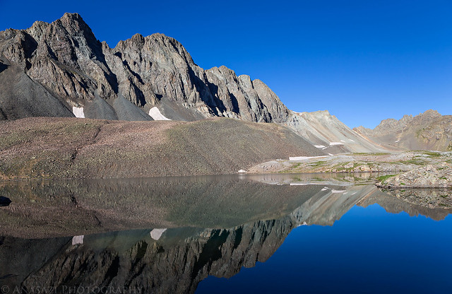
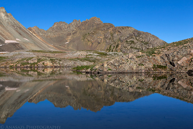
Handies Peak towers above the trailhead in American Basin. Our destination for the following morning.
Handies Peak by IntrepidXJ, on Flickr
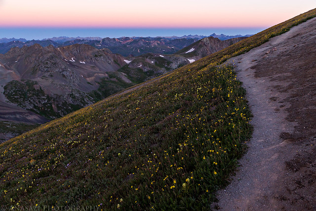
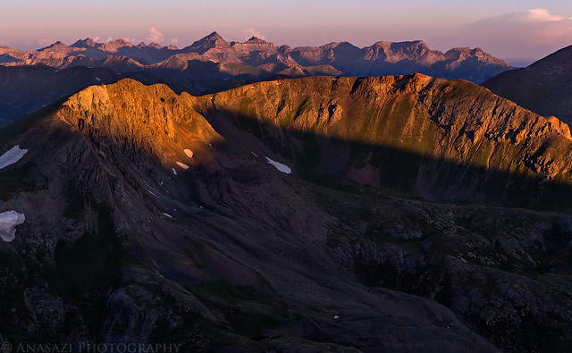
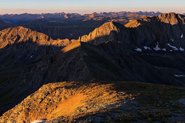
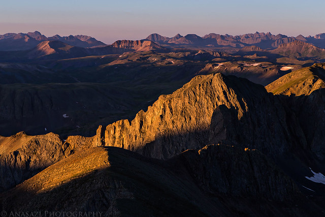
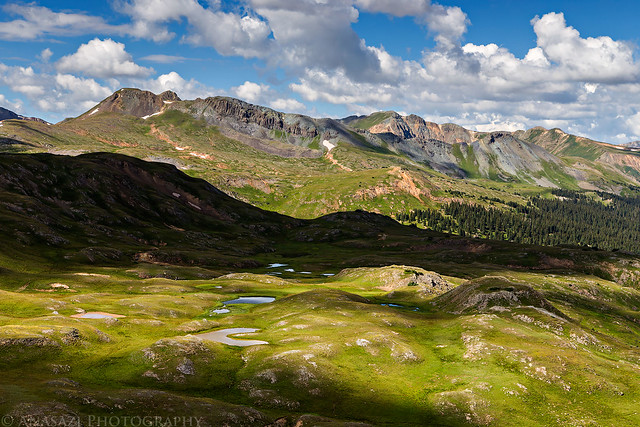
Shadows and light in American Basin.
American Basin Shadows by IntrepidXJ, on Flickr
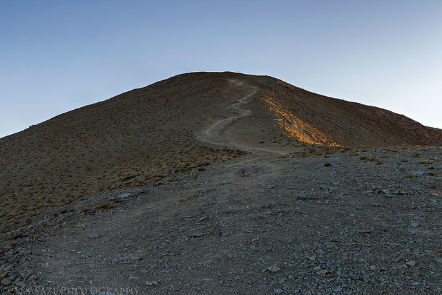
Two-track to our campsite.
Camp Two-Track by IntrepidXJ, on Flickr
Diane has been hiking in the mountains with me all summer and was finally ready to try climbing her first 14er. She left the decision of which 14er we would climb up to me, so I decided we would hike up Handies Peak in the San Juan Mountains. Handies Peak was my first 14er back in 2010, so I knew it would be a good one to start out on. It's also one of the easier hikes at 2.9 miles in length (one way) with 2,500 feet of elevation gain. She has hiked longer trails with more elevation gain with me before, so I was confident she would make it to the top. Since Handies was my first, I was also looking forward to climbing it again to see how much easier it would be for me the second time around. Plus I was looking forward to getting an earlier start this time so I could watch the sunrise with a better camera from near the top.
We left home on Saturday morning with plans to hike Handies Peak (14,048 feet) bright and early on Sunday morning, so we took our time by driving the Alpine Loop to the trailhead in American Basin. We left the highway just outside of Ouray and followed the rough road along the Uncompahgre River and Mineral Creek, past Mineral Point, and then up to Engineer Pass at 12,800 feet. While we were up at the pass we thought it would be a good warm up to hike the short distance to the top of Engineer Mountain (13,218 feet). It was an easy hike from the pass and offered great views all around, including 14ers Uncompahgre Peak (14,309 feet), Wetterhorn Peak (14,015 feet) and Mount Sneffels (14,150 feet). There was also a nice view down into the upper portion of Bear Creek, which we had hiked partway up a few weeks ago.
A nice view up Poughkeepsie Gulch as we drove up the Alpine Loop towards Engineer Pass.
Poughkeepsie Gulch by IntrepidXJ, on Flickr
Mineral Creek Road by IntrepidXJ, on Flickr
I love the shadows from the clouds on the alpine tundra above tree-line.
Shadows by IntrepidXJ, on Flickr
Tundra Shadows by IntrepidXJ, on Flickr
Almost to Engineer Pass.
Up to Engineer Pass by IntrepidXJ, on Flickr
Darley Mountain (13,260 feet) comes into view.
Darley Mountain by IntrepidXJ, on Flickr
A view towards the Sneffels Range from Oh! Point.
Sneffels View by IntrepidXJ, on Flickr
Looking down into the upper reaches of Bear Creek.
Bear Creek by IntrepidXJ, on Flickr
More shadows on the tundra towards the Sneffels Range.
Sneffels Shadows by IntrepidXJ, on Flickr
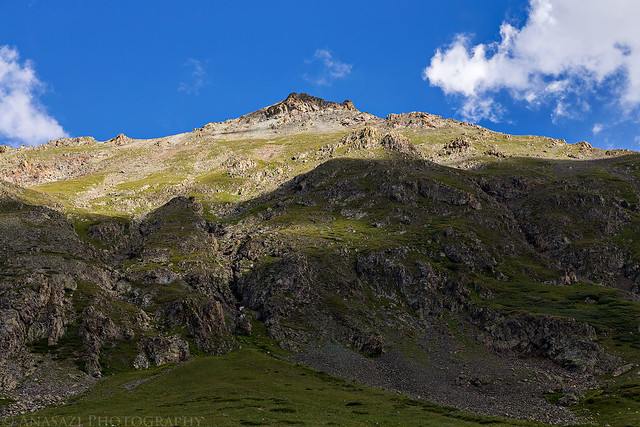
A straightforward hike to the top of Engineer Mountain.
Engineer Mountain by IntrepidXJ, on Flickr
Nice view from the top of Wetterhorn Peak (left) and Uncompahgre Peak (right).
Wetterhorn & Uncompahgre by IntrepidXJ, on Flickr
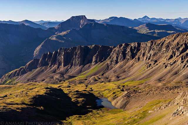
View from the top.
Engineer Summit View by IntrepidXJ, on Flickr
I liked the dark shadow of the cloud below.
Cloud Shadow by IntrepidXJ, on Flickr
Diane on the summit.
Engineer Mountain Summit by IntrepidXJ, on Flickr
Engineer View by IntrepidXJ, on Flickr
Coming back down from the top.
Coming Down by IntrepidXJ, on Flickr
After spending some time on the summit and then hiking back to the Jeep, we continued over the pass and dropped down to Henson Creek, which we followed to Lake City. We made one stop along the way and hiked down to Whitmore Falls.
Whitmore Falls by IntrepidXJ, on Flickr
Whitmore Detail by IntrepidXJ, on Flickr
Diane at Whitmore Falls by IntrepidXJ, on Flickr
We stopped in Lake City for a late lunch before driving past Lake San Cristobal and following the Lake Fork of the Gunnison to Burrows Park. We found a nice campsite under Edith Mountain (12,620 feet) a few miles before the trailhead in American Basin that would work nicely for an early start the following morning. After setting up camp we took a quick drive up into American Basin to check it out for the morning and then went to bed early.
Our campsite for the night.
Lake Fork Camp by IntrepidXJ, on Flickr
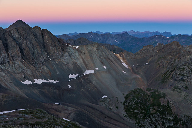
Handies Peak towers above the trailhead in American Basin. Our destination for the following morning.
Handies Peak by IntrepidXJ, on Flickr
Shadows and light in American Basin.
American Basin Shadows by IntrepidXJ, on Flickr
Two-track to our campsite.
Camp Two-Track by IntrepidXJ, on Flickr