IntrepidXJ
Explorer
Canyonlands National Park's 50th Birthday
Friday - Sunday, September 12-14, 2014
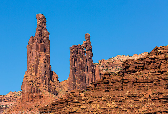
So far I've had a great year exploring many new areas of Canyonlands National Park. I was finally able to backpack through Salt Creek Canyon in The Needles, which had been a longtime goal of mine and one of the main reasons I started backpacking in the first place. Then I spent a nice weekend in The Maze with Diane and made it to the Maze Overlook and also discovered what a wonderful place Millard Canyon is. We even made it to The Great Gallery in Horseshoe Canyon on that trip so that Diane was able to view some of the magnificent rock art there for the first time. With all these great trips this year I thought I would try my luck again at completing the White Rim Road in the Island in the Sky, too.
If you have been reading my blog for a while, you might know that completing the entire White Rim Road has been a goal that has eluded me for a while. I have not had much luck with this trail based on my previous unsuccessful attempts. The first time I broke a leaf spring on my Jeep Cherokee just past Musselman Arch and had to turn around and head home. The second time was when the Mineral Bottom Switchbacks got washed out pretty badly by a flash flood and were closed for a while. The last time I attempted the trail, it got washed out again and was partially closed. I still went that time, but only to the Murphy Hogback and then went back out the same way I had come.
As this trip's date neared, I was a little concerned because quite a few heavy monsoon storms had washed out part of the trail and closed it again. I kept an eye on the park's road status page and was happy to see that it opened again about a week before my trip. That was the week with all the serious flooding in Arizona and Nevada from former hurricane Norbert, so I was worried that those storms would wash it out yet again. Thankfully, that never happened and the status never changed again before I left. I would be good to go on this trip!
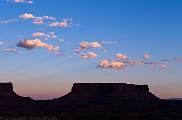
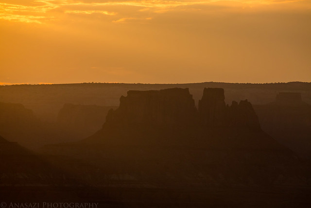
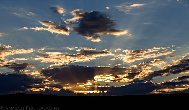
The only downside of all the big storms passing through earlier in the week was that they left behind clear skies, so I knew that catching an epic sunrise or sunset on this trip was probably going to be unlikely, but the upside is that the weather was looking perfect for sleeping under the stars. Always a trade-off.
As an added bonus, I would be starting this trip on the 50th birthday of Canyonlands becoming a National Park. While there would be plenty of celebratory activities throughout the park and in Moab, I would be able to properly celebrate this milestone along the White Rim by enjoying the backcountry of this awesome place.
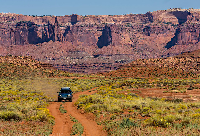
Since Diane had family visiting from out of town this weekend and would not be able to join me, I invited my friend Marty to come along. I left for Moab after work on Friday afternoon and met Marty at the Wendy's for a quick dinner before heading over to the Island in the Sky. When I pulled into the parking lot I sent him a text to let him know I was there. Little did I know at the time, he was parked in the spot right next to me in a diesel blue Jeep Liberty. I had no idea he had bought a different vehicle and was expecting to see his red Grand Cherokee in the lot. After dinner I topped off my fuel tank and we left for Canyonlands.
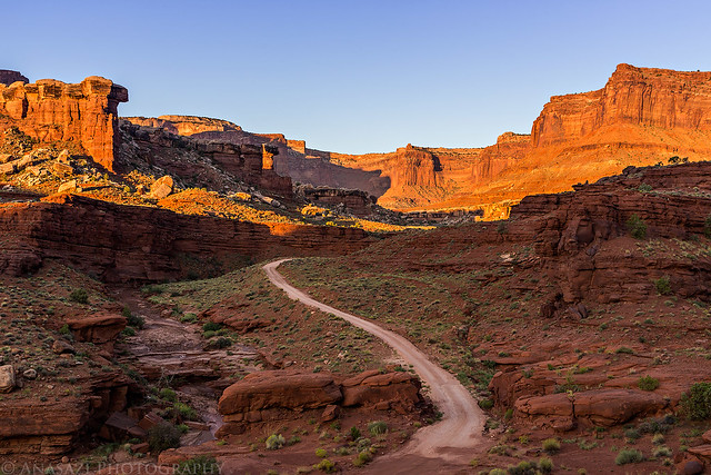
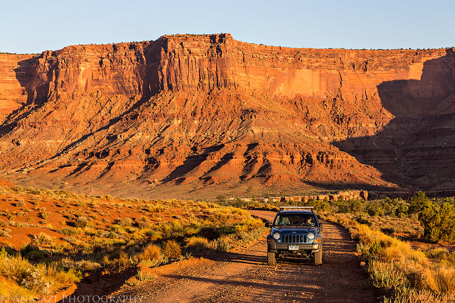
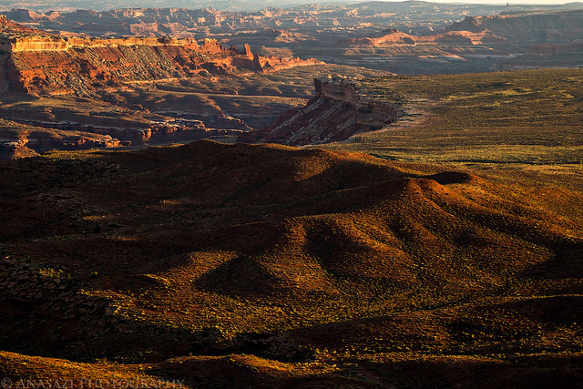
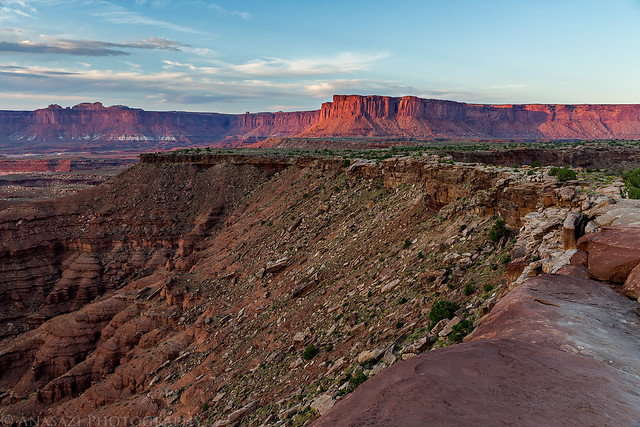
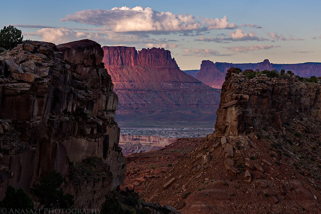
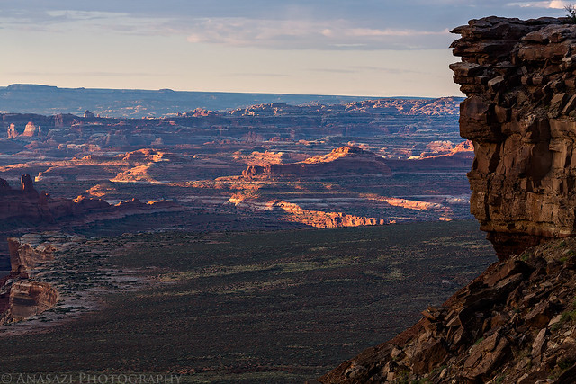
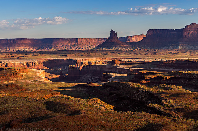
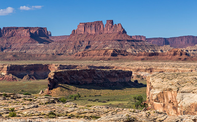
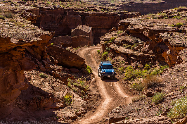
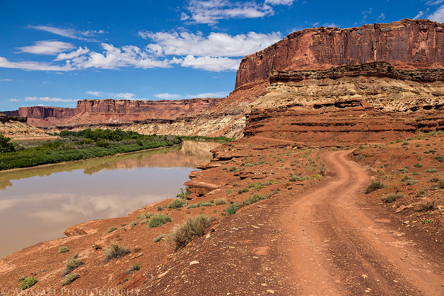
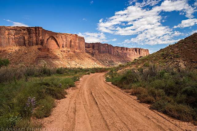
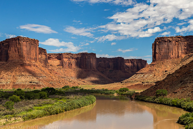
After entering the park we turned onto the Shafer Trail and were soon greeted with views over the beginning of the White Rim Road.
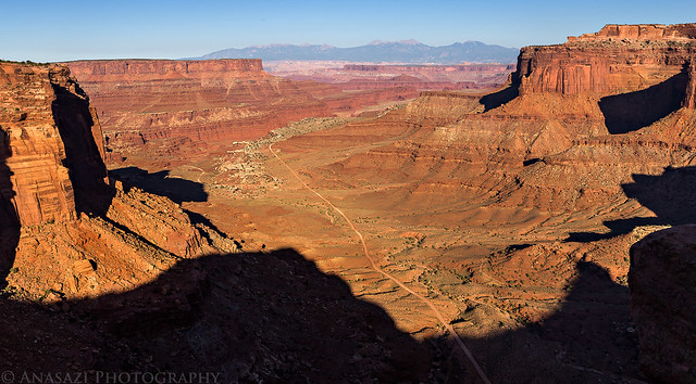
White Rim Below by IntrepidXJ, on Flickr
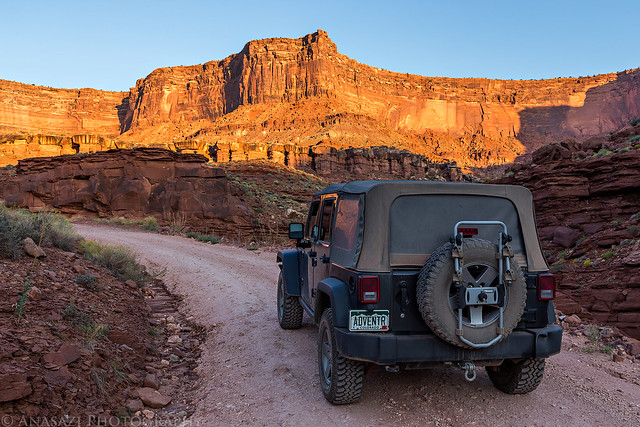
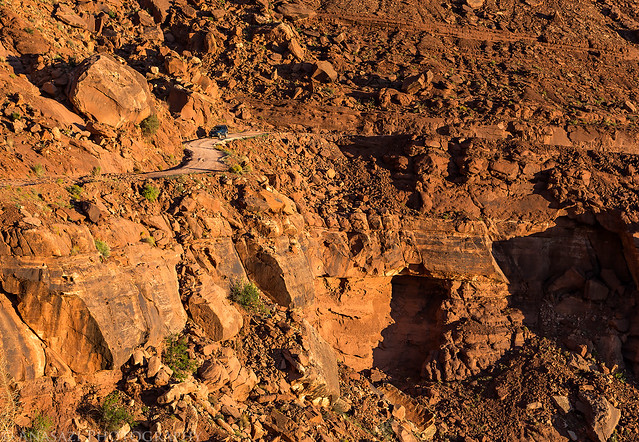
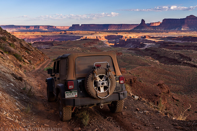
Then we reached the Shafer Switchbacks that would take us down to the White Rim.
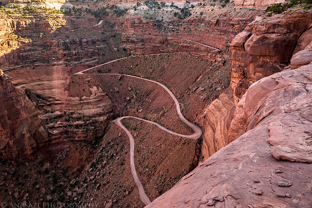
Shafer Trail Switchbacks by IntrepidXJ, on Flickr
Marty descending the switchbacks below me.
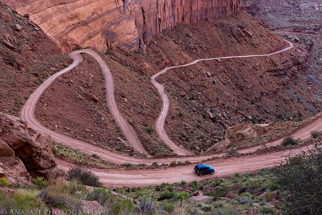
Going Down by IntrepidXJ, on Flickr
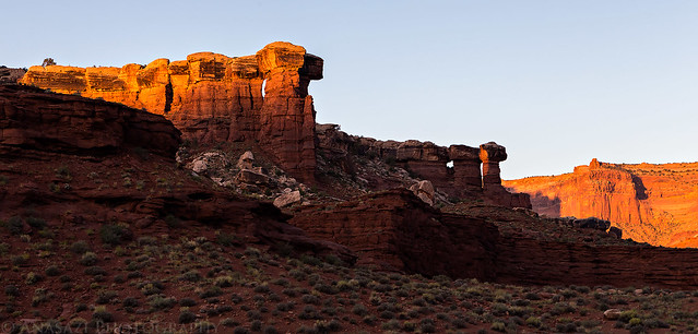
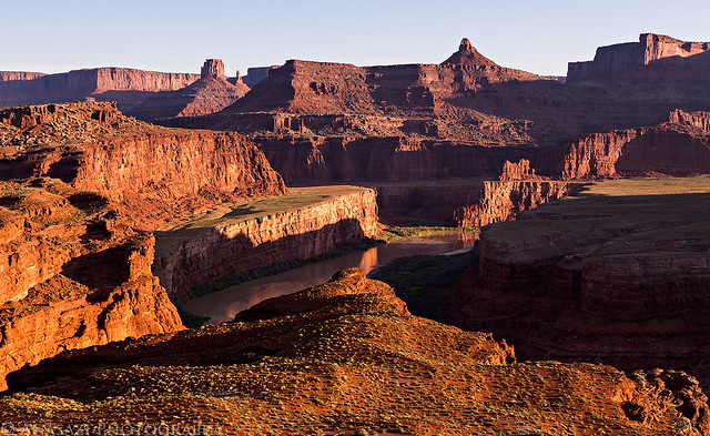
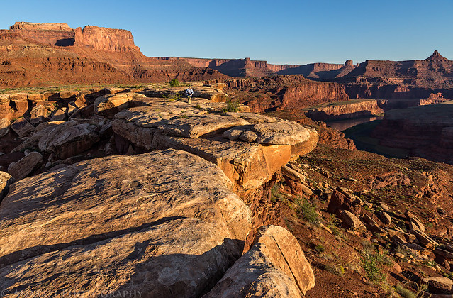
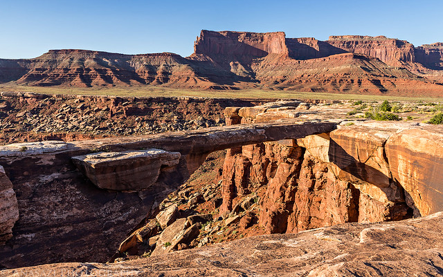
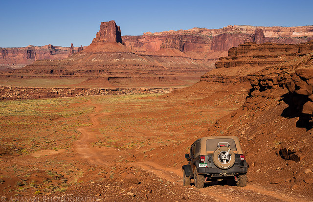
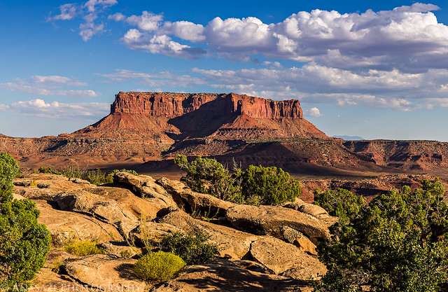
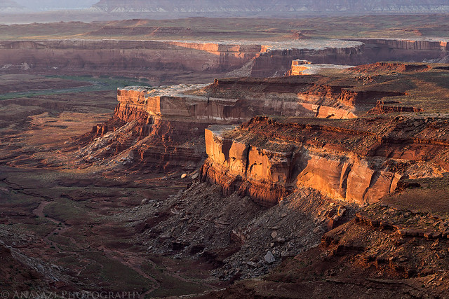
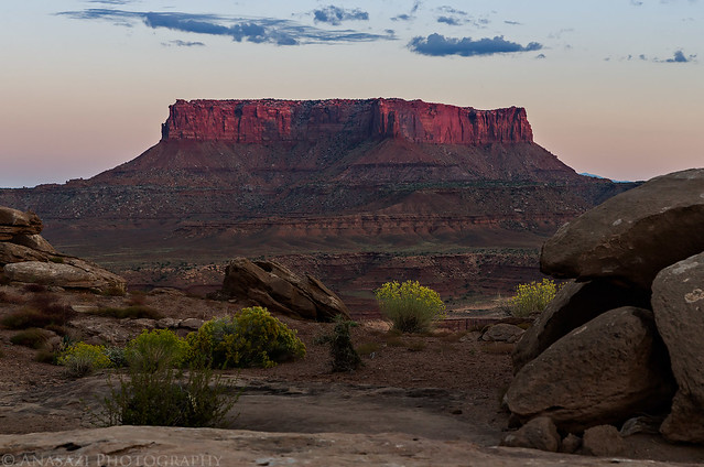
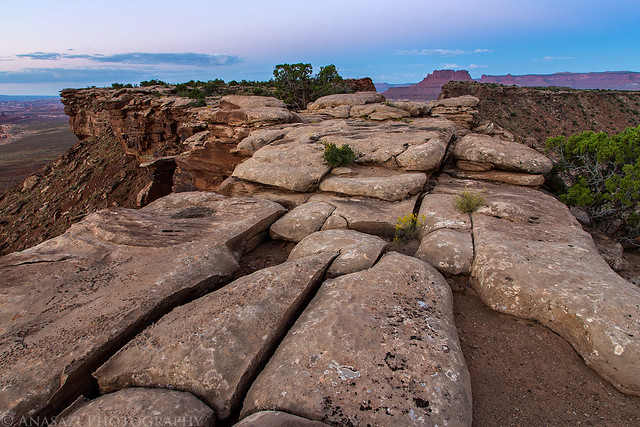
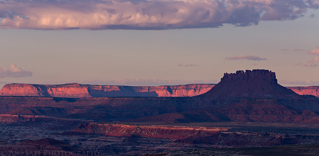
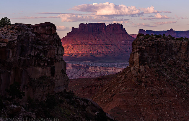
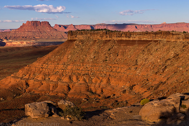
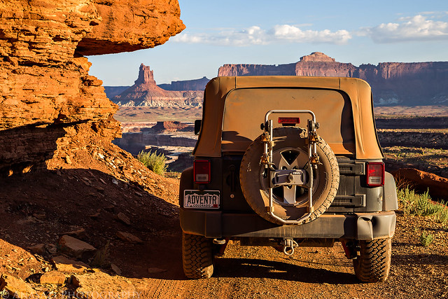
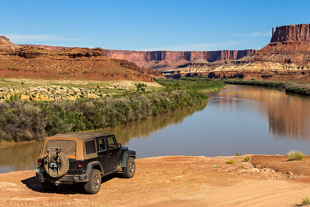
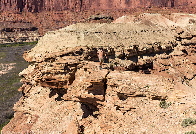
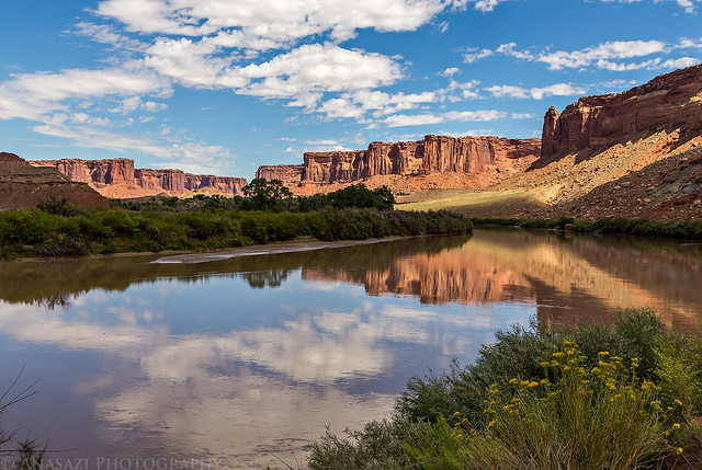
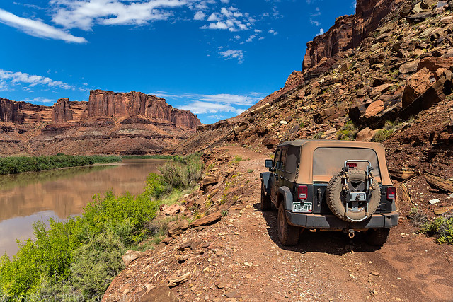
We had permits for the Shafer Camp this evening, which is a little off the main road on the Potash Road, but before going there we stopped at the Gooseneck Overlook for a short hike and a few photos.
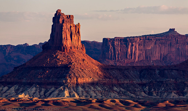
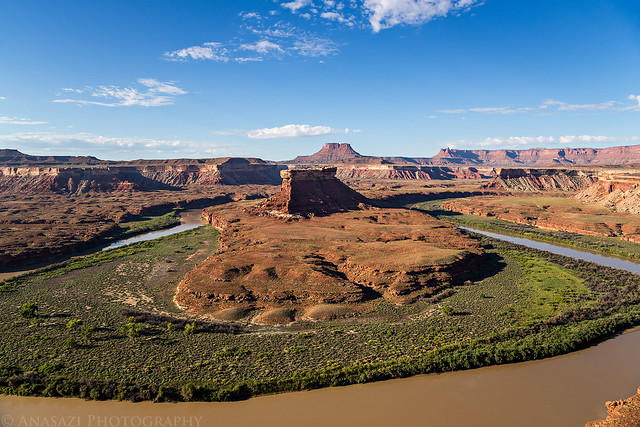
Looking over the Colorado River towards Hatch Point and the UN Tablet.
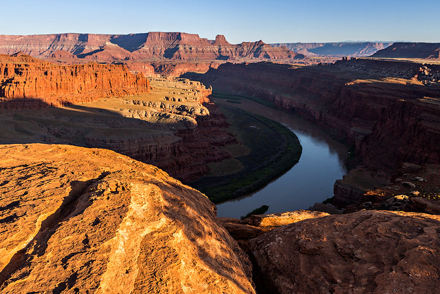
Gooseneck Overlook by IntrepidXJ, on Flickr
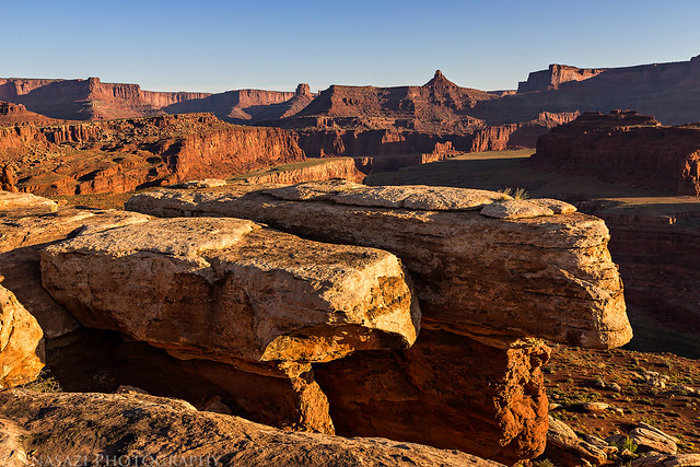
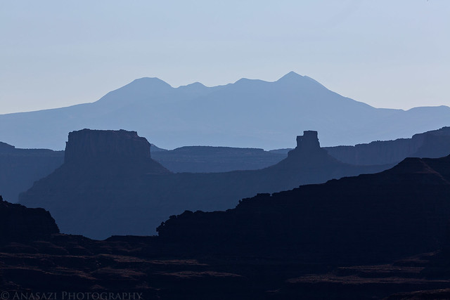
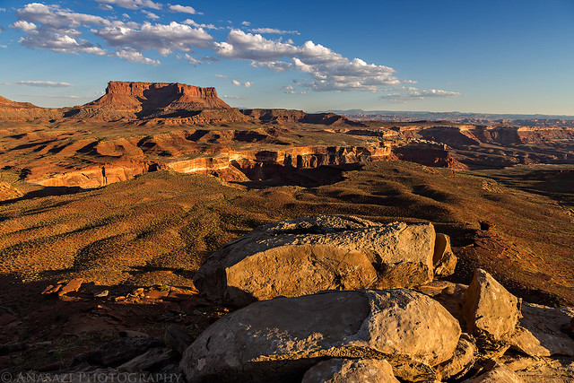
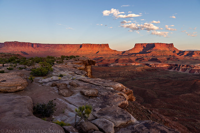
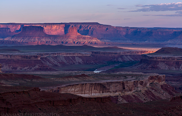
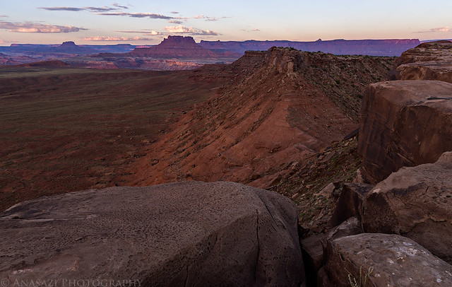
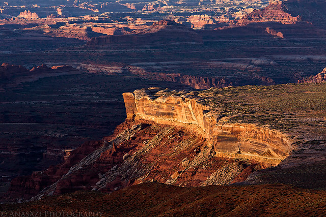
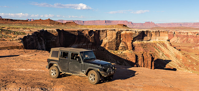
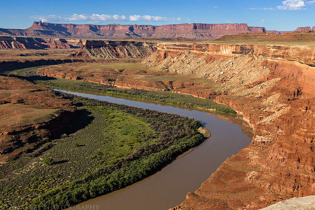
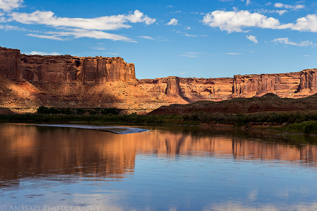
The other direction is Dead Horse Point.
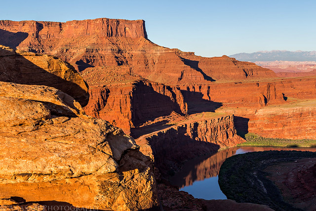
Dead Horse Point by IntrepidXJ, on Flickr
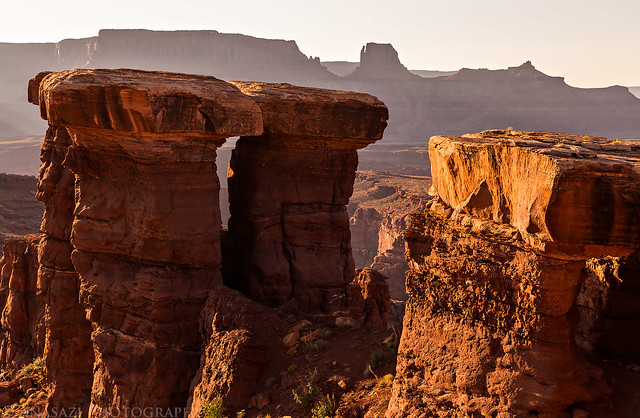
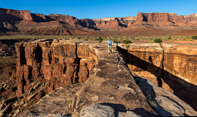
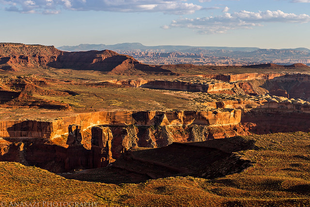
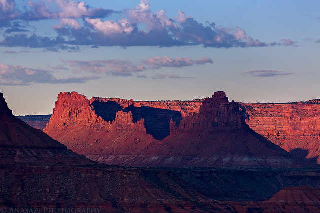
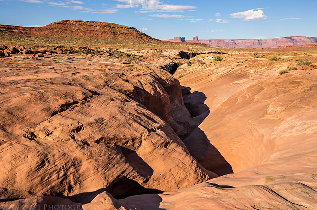
My shadow on a very large hoodoo capped with White Rim sandstone.
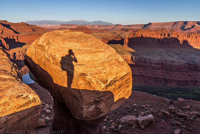
Hoodoo Shadow by IntrepidXJ, on Flickr
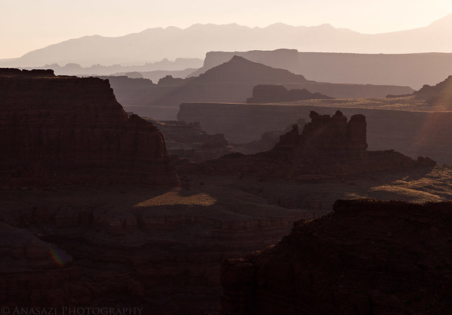
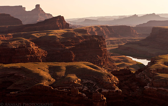
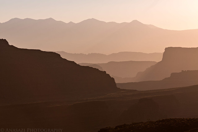
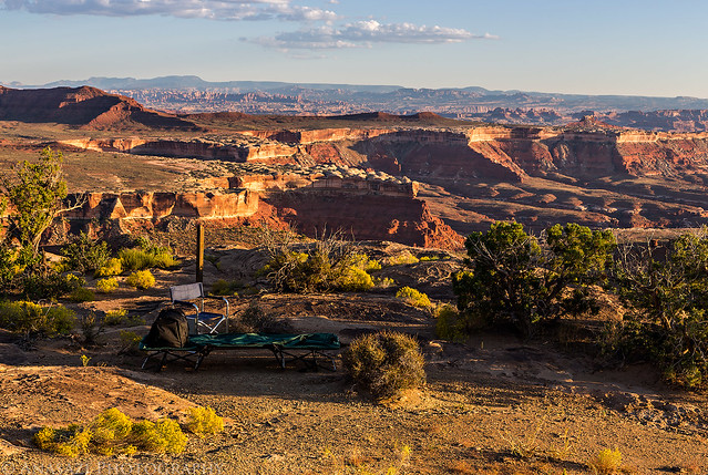
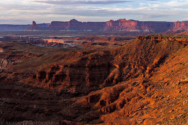
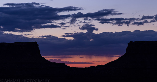
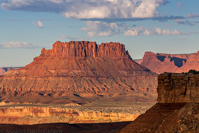
Shadows creep across the sandstone in the late evening.
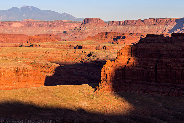
Goose Neck Shadow by IntrepidXJ, on Flickr
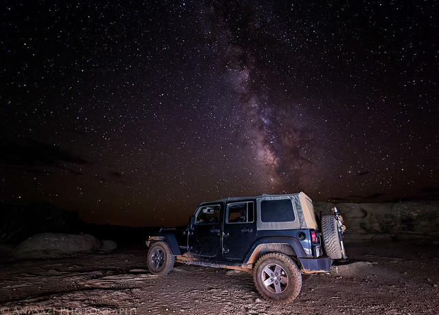
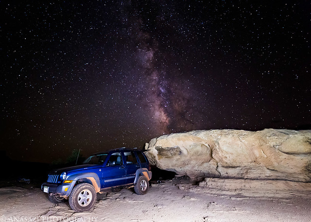
Since the sky was clear this evening, we stayed up late enough to photograph the Milky Way before the moon came up. It was a great night to sleep under the stars.
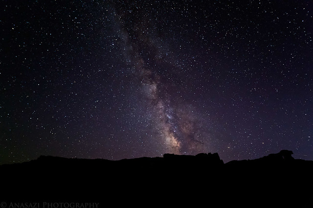
Shafer Camp Milky Way by IntrepidXJ, on Flickr
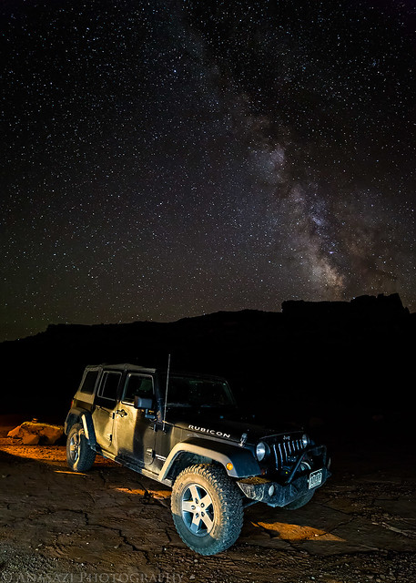
Rubicon Under the Milky Way by IntrepidXJ, on Flickr
Friday - Sunday, September 12-14, 2014
So far I've had a great year exploring many new areas of Canyonlands National Park. I was finally able to backpack through Salt Creek Canyon in The Needles, which had been a longtime goal of mine and one of the main reasons I started backpacking in the first place. Then I spent a nice weekend in The Maze with Diane and made it to the Maze Overlook and also discovered what a wonderful place Millard Canyon is. We even made it to The Great Gallery in Horseshoe Canyon on that trip so that Diane was able to view some of the magnificent rock art there for the first time. With all these great trips this year I thought I would try my luck again at completing the White Rim Road in the Island in the Sky, too.
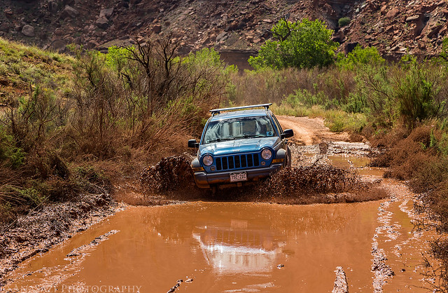
If you have been reading my blog for a while, you might know that completing the entire White Rim Road has been a goal that has eluded me for a while. I have not had much luck with this trail based on my previous unsuccessful attempts. The first time I broke a leaf spring on my Jeep Cherokee just past Musselman Arch and had to turn around and head home. The second time was when the Mineral Bottom Switchbacks got washed out pretty badly by a flash flood and were closed for a while. The last time I attempted the trail, it got washed out again and was partially closed. I still went that time, but only to the Murphy Hogback and then went back out the same way I had come.
As this trip's date neared, I was a little concerned because quite a few heavy monsoon storms had washed out part of the trail and closed it again. I kept an eye on the park's road status page and was happy to see that it opened again about a week before my trip. That was the week with all the serious flooding in Arizona and Nevada from former hurricane Norbert, so I was worried that those storms would wash it out yet again. Thankfully, that never happened and the status never changed again before I left. I would be good to go on this trip!
White Rim Road: open The White Rim Road is in rough condition, especially from Murphy Hogback to the western park boundary. It is very likely that vehicles without a 4-Low gear will not be able to complete the loop in its entirety. If you are going to attempt to drive the road in a vehicle that does not have a 4-Low gear, carry extra fuel and be prepared to self-rescue.
The only downside of all the big storms passing through earlier in the week was that they left behind clear skies, so I knew that catching an epic sunrise or sunset on this trip was probably going to be unlikely, but the upside is that the weather was looking perfect for sleeping under the stars. Always a trade-off.
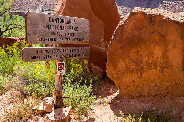
As an added bonus, I would be starting this trip on the 50th birthday of Canyonlands becoming a National Park. While there would be plenty of celebratory activities throughout the park and in Moab, I would be able to properly celebrate this milestone along the White Rim by enjoying the backcountry of this awesome place.
In 1964, Congress set aside a hardscrabble piece of desert in southeast Utah "in order to preserve an area...possessing superlative scenic, scientific, and archaeological features for the inspiration, benefit, and use of the public."
Since Diane had family visiting from out of town this weekend and would not be able to join me, I invited my friend Marty to come along. I left for Moab after work on Friday afternoon and met Marty at the Wendy's for a quick dinner before heading over to the Island in the Sky. When I pulled into the parking lot I sent him a text to let him know I was there. Little did I know at the time, he was parked in the spot right next to me in a diesel blue Jeep Liberty. I had no idea he had bought a different vehicle and was expecting to see his red Grand Cherokee in the lot. After dinner I topped off my fuel tank and we left for Canyonlands.
After entering the park we turned onto the Shafer Trail and were soon greeted with views over the beginning of the White Rim Road.
White Rim Below by IntrepidXJ, on Flickr
Then we reached the Shafer Switchbacks that would take us down to the White Rim.
Shafer Trail Switchbacks by IntrepidXJ, on Flickr
Marty descending the switchbacks below me.
Going Down by IntrepidXJ, on Flickr
We had permits for the Shafer Camp this evening, which is a little off the main road on the Potash Road, but before going there we stopped at the Gooseneck Overlook for a short hike and a few photos.
Looking over the Colorado River towards Hatch Point and the UN Tablet.
Gooseneck Overlook by IntrepidXJ, on Flickr
The other direction is Dead Horse Point.
Dead Horse Point by IntrepidXJ, on Flickr
My shadow on a very large hoodoo capped with White Rim sandstone.
Hoodoo Shadow by IntrepidXJ, on Flickr
Shadows creep across the sandstone in the late evening.
Goose Neck Shadow by IntrepidXJ, on Flickr
Since the sky was clear this evening, we stayed up late enough to photograph the Milky Way before the moon came up. It was a great night to sleep under the stars.
Shafer Camp Milky Way by IntrepidXJ, on Flickr
Rubicon Under the Milky Way by IntrepidXJ, on Flickr