3 days wandering around in Southern Utah

FlyJester

Adventurer
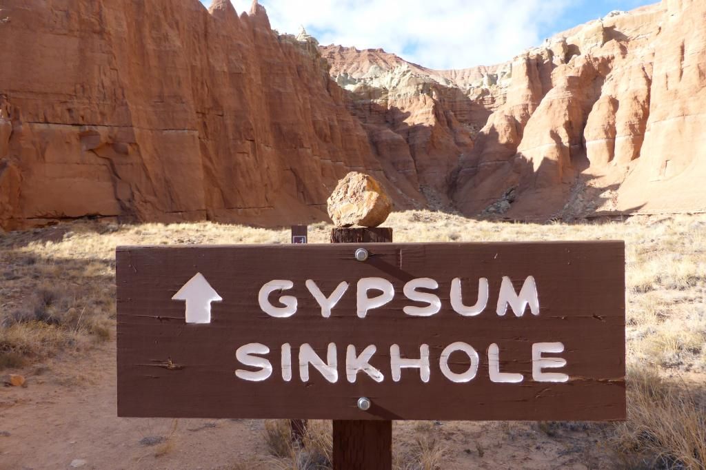
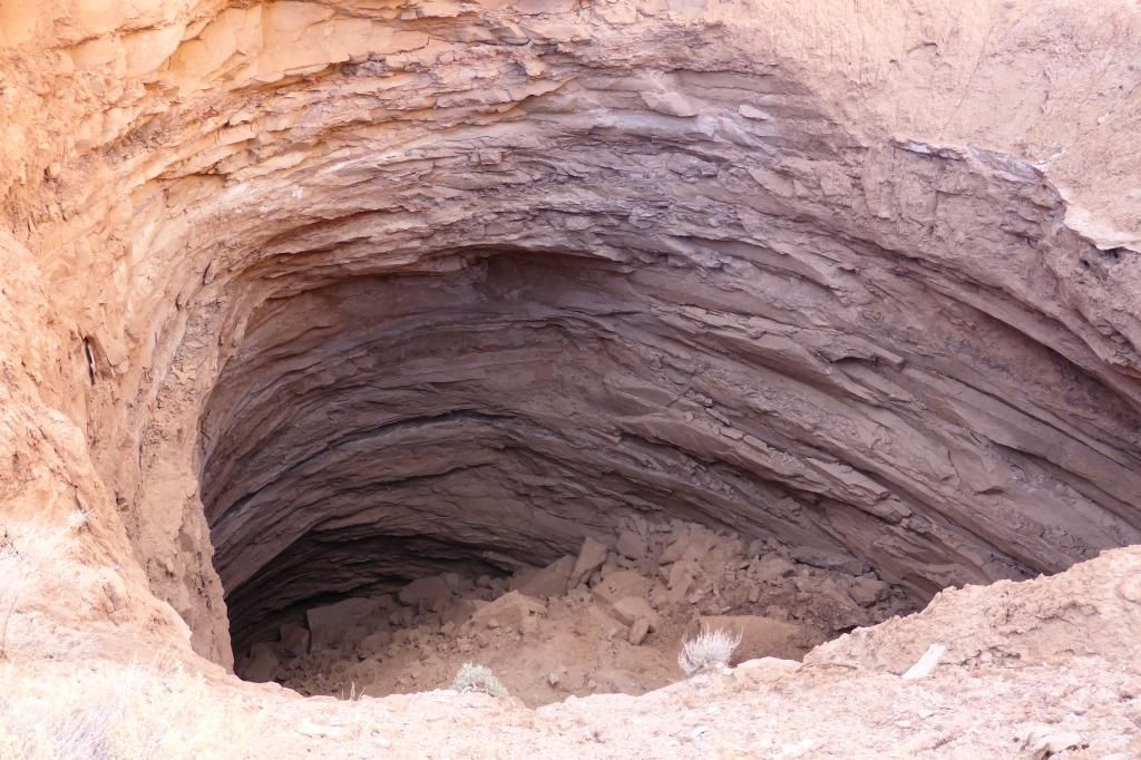
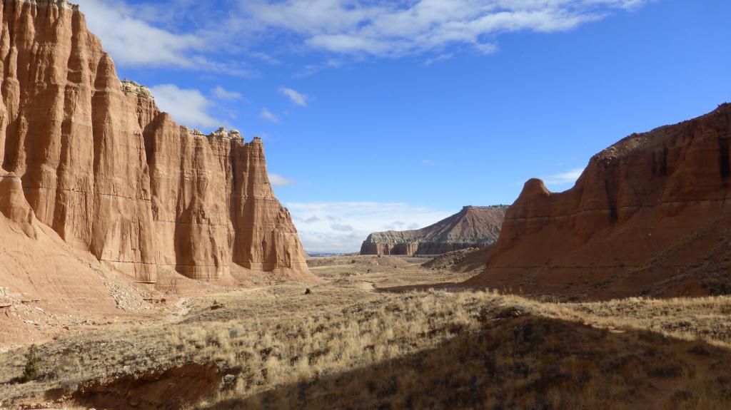
I thought I would finally post this report here. This is a trip I took to Southern Utah before Christmas of 2014. During this time of year when my work(USPS) is the busiest/hectic, but I was thinking ahead back in January '14 when we turned in our vacation times. Everyone clamored for the summertime off. Me, I decided to take the busiest week of the year off. The week before Christmas. :)

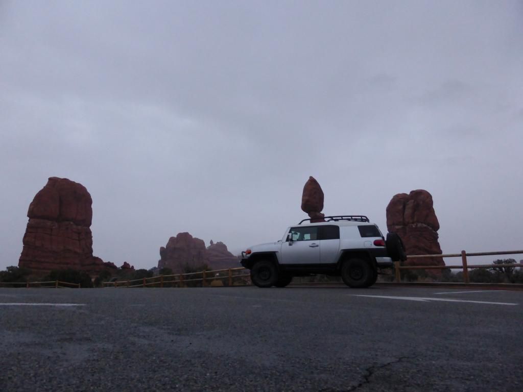
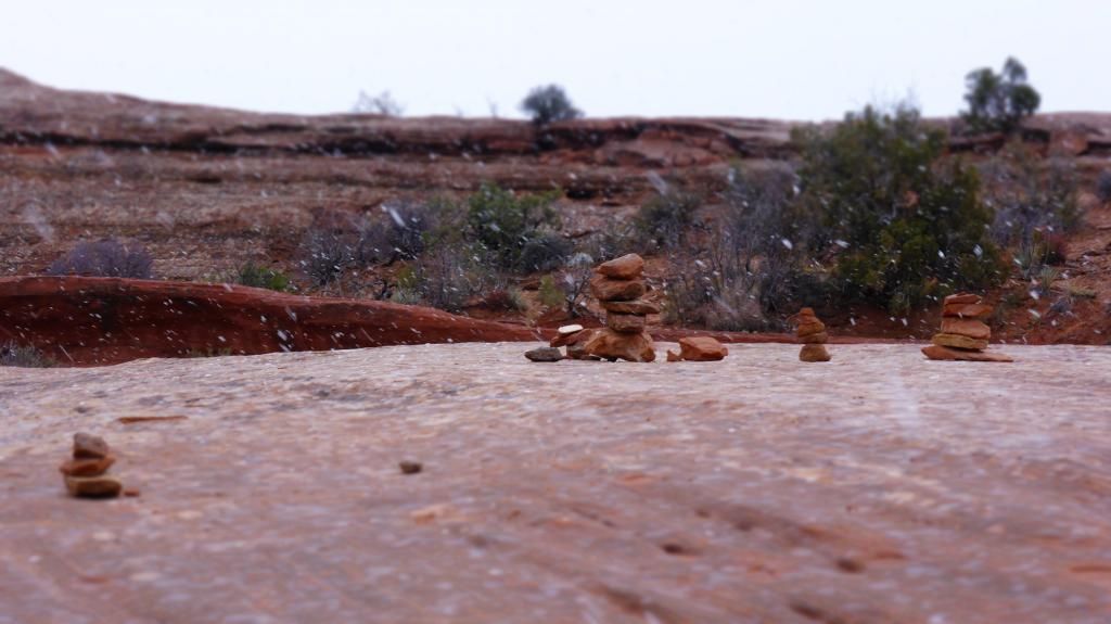
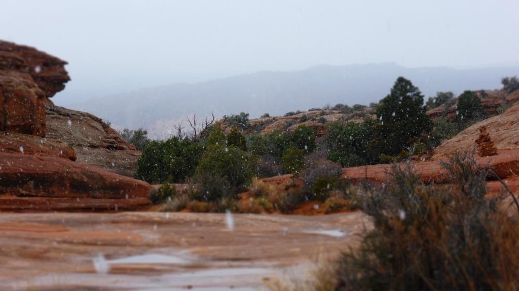
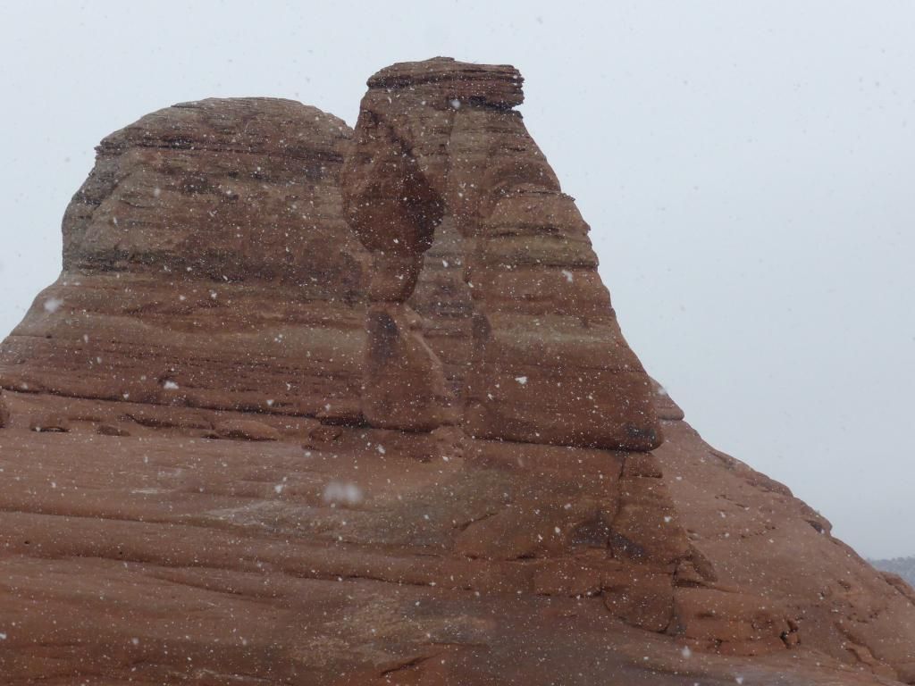
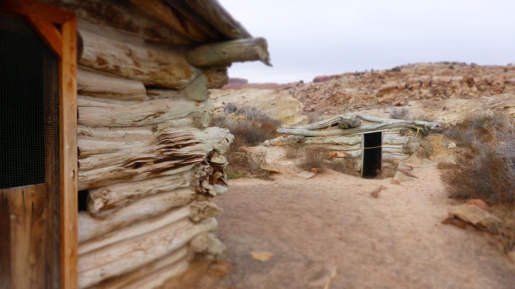
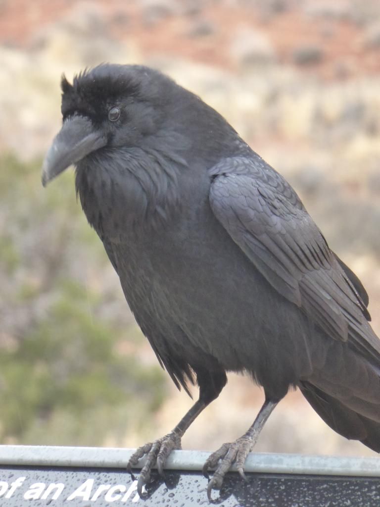
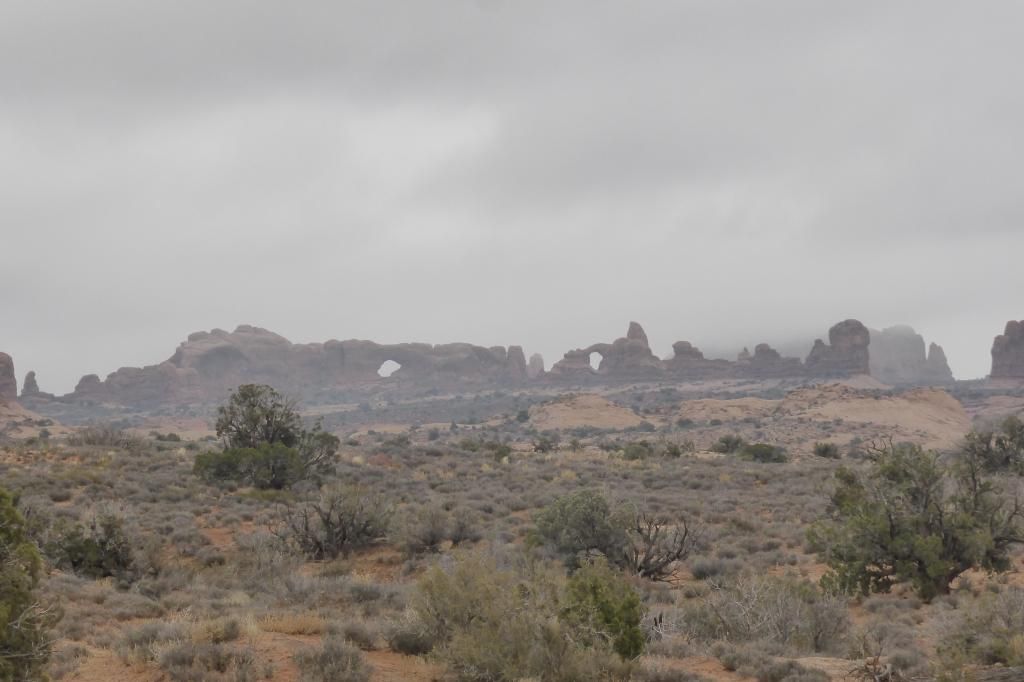
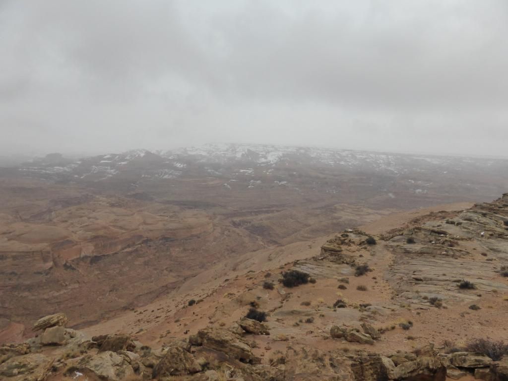
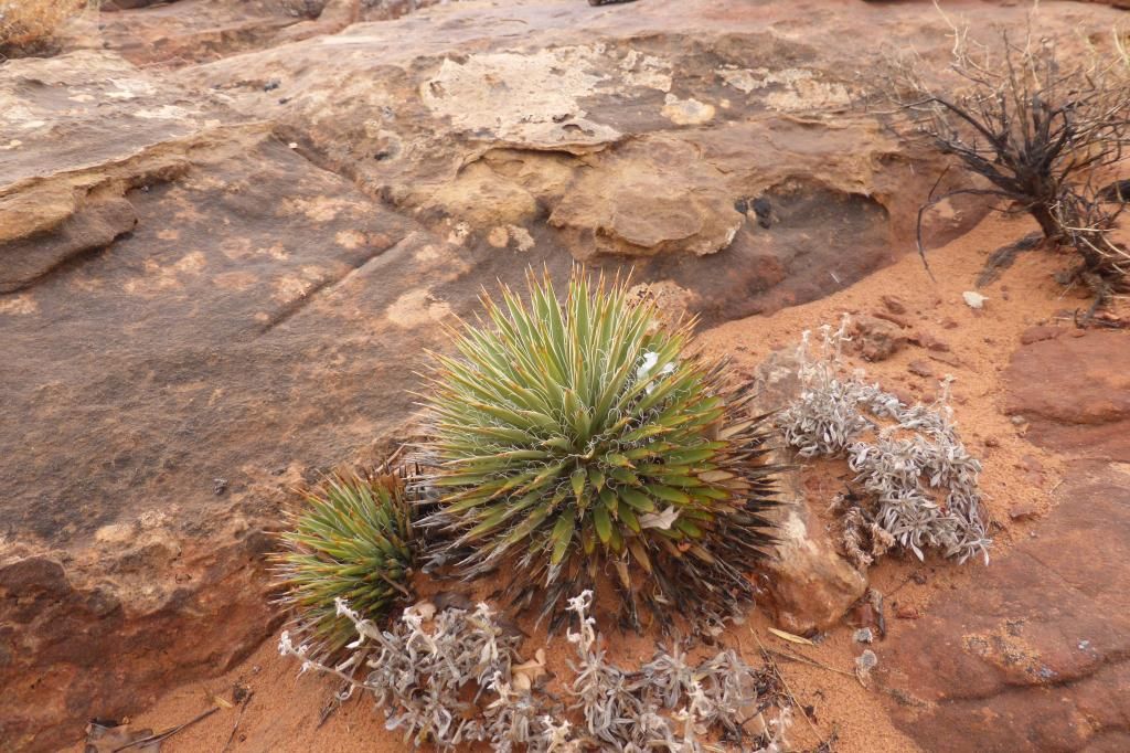
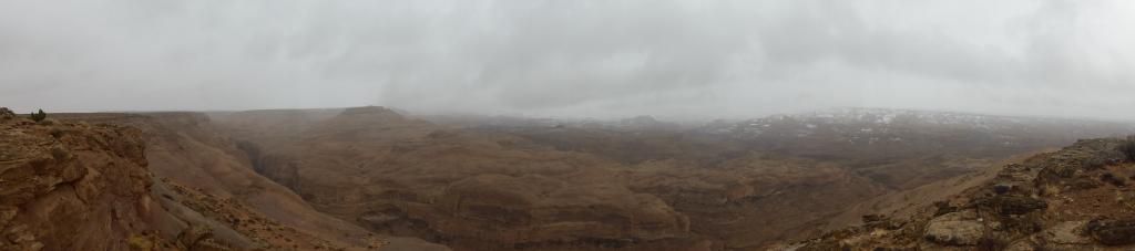
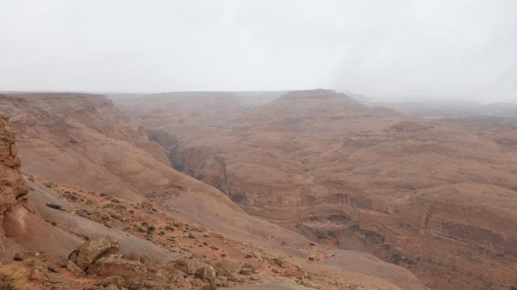
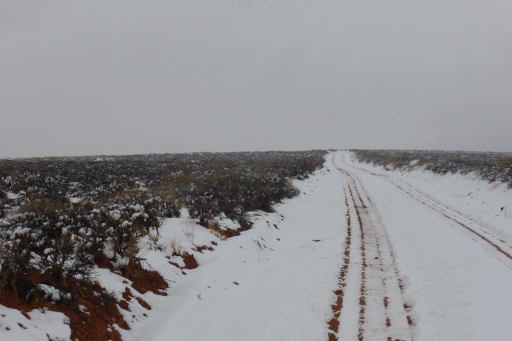
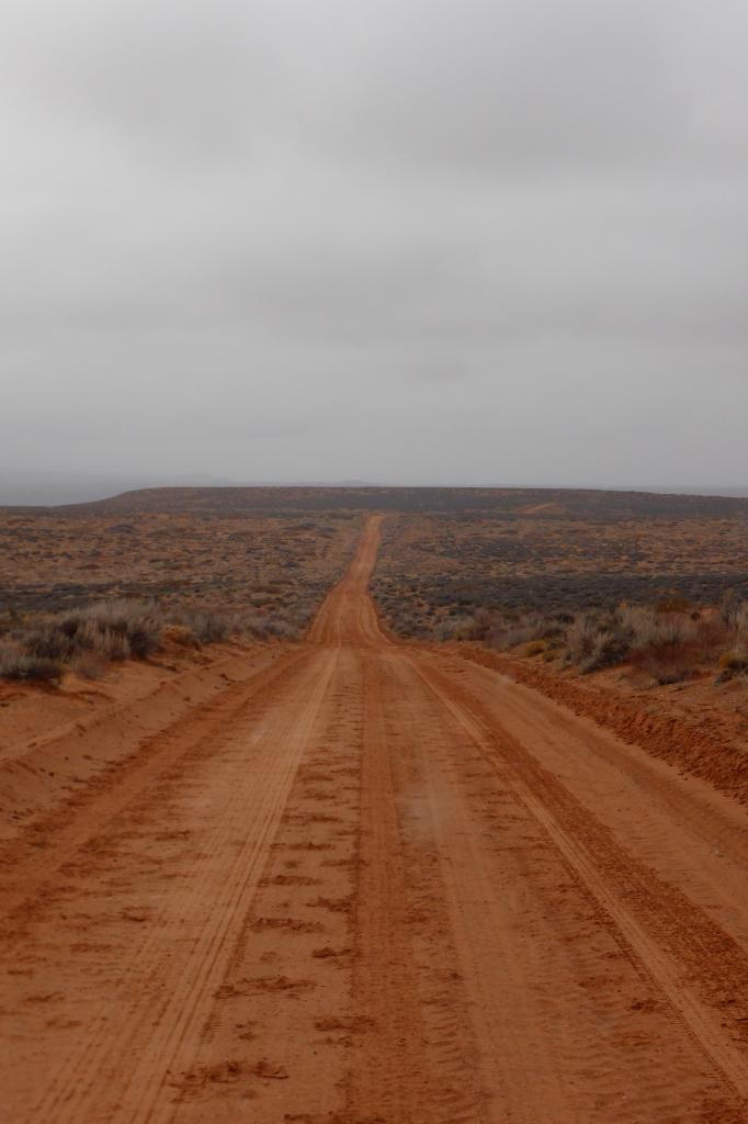
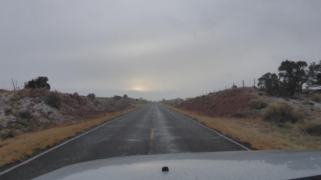
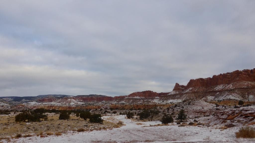
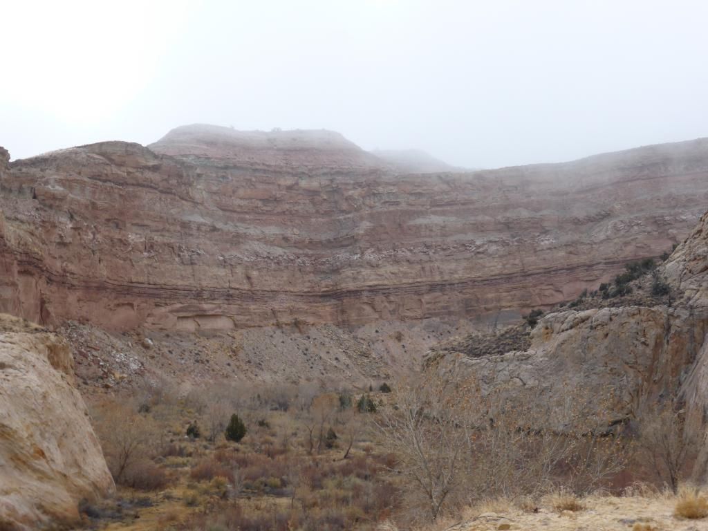
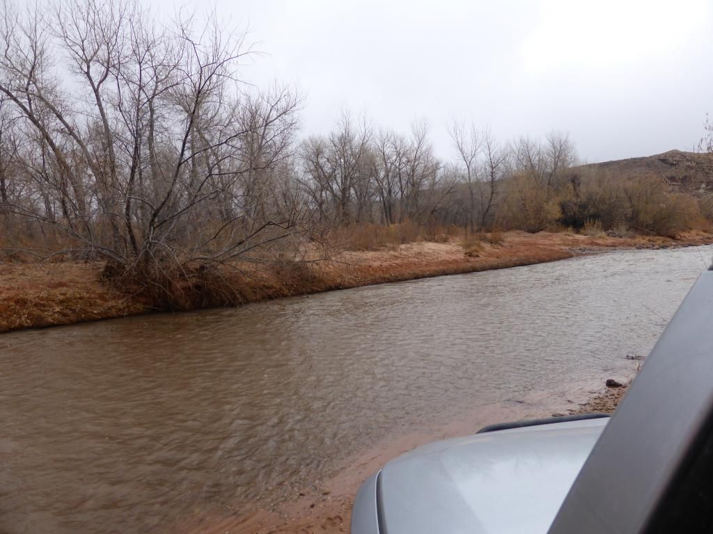
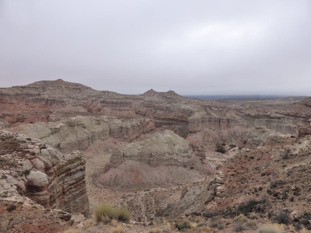
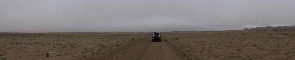
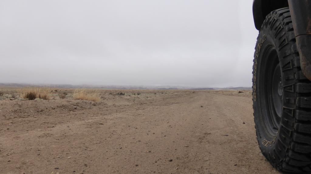
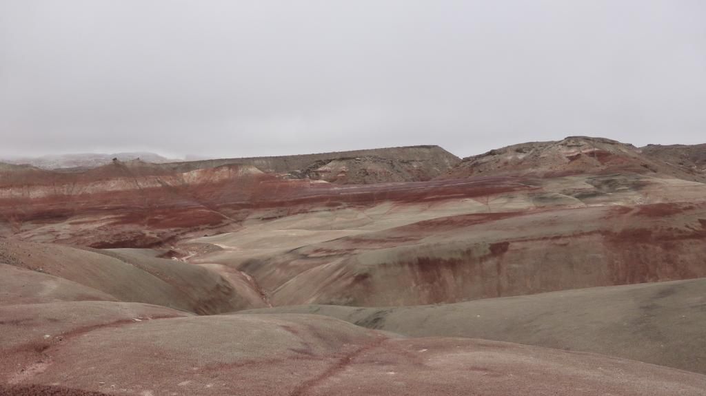
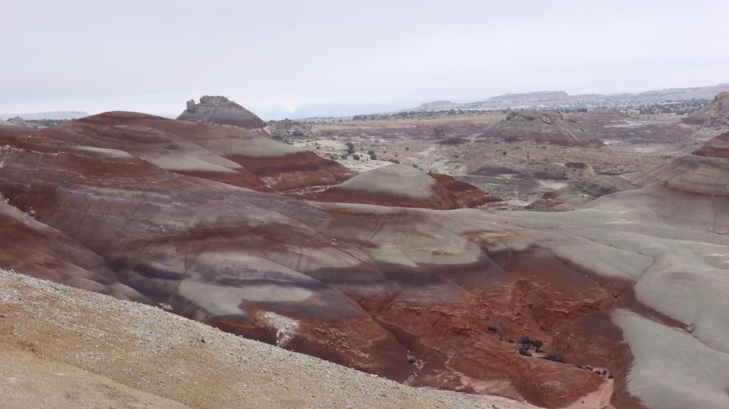
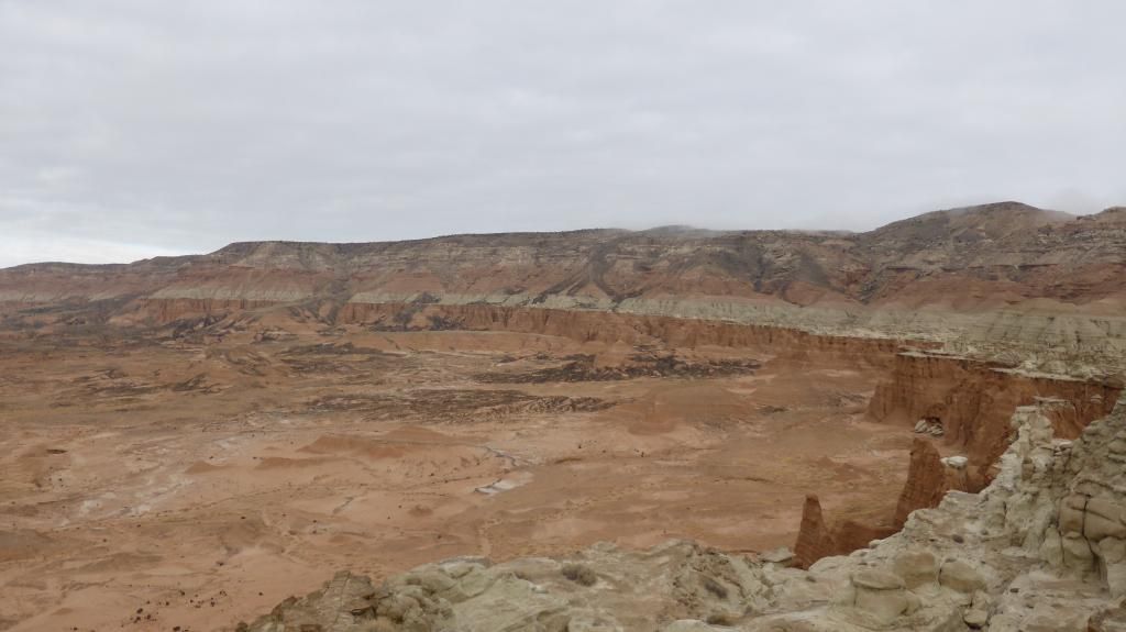
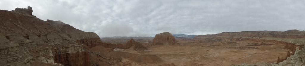
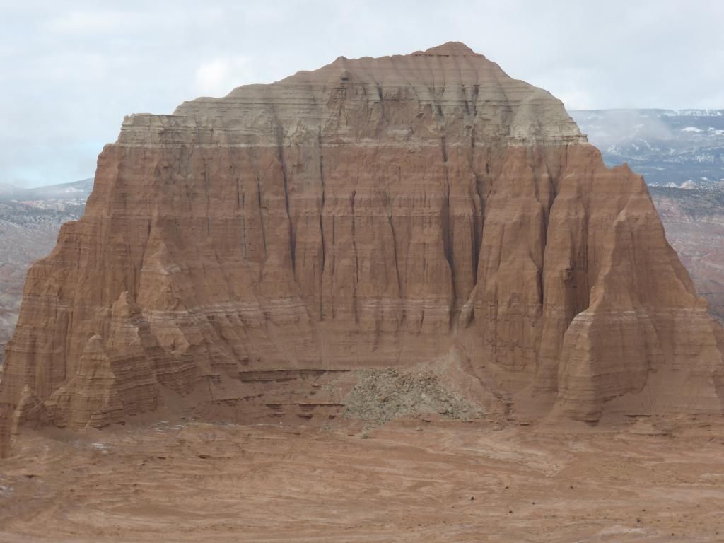
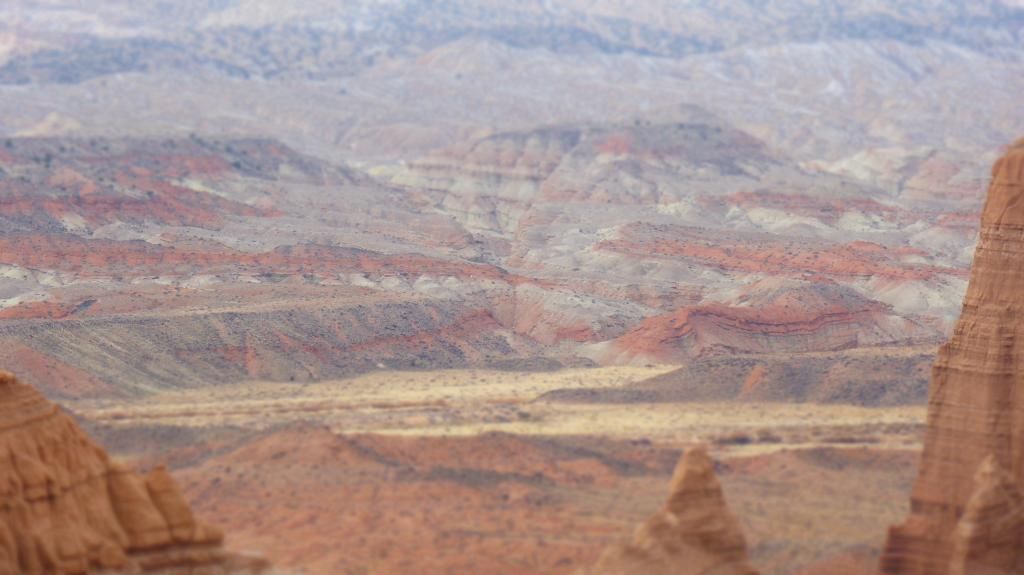
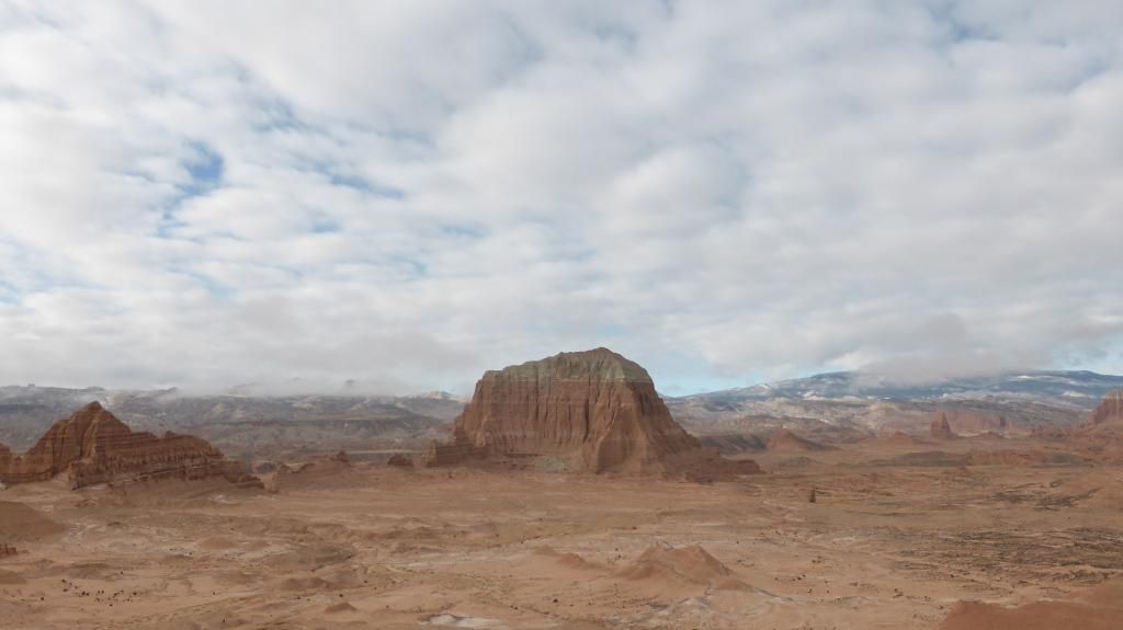
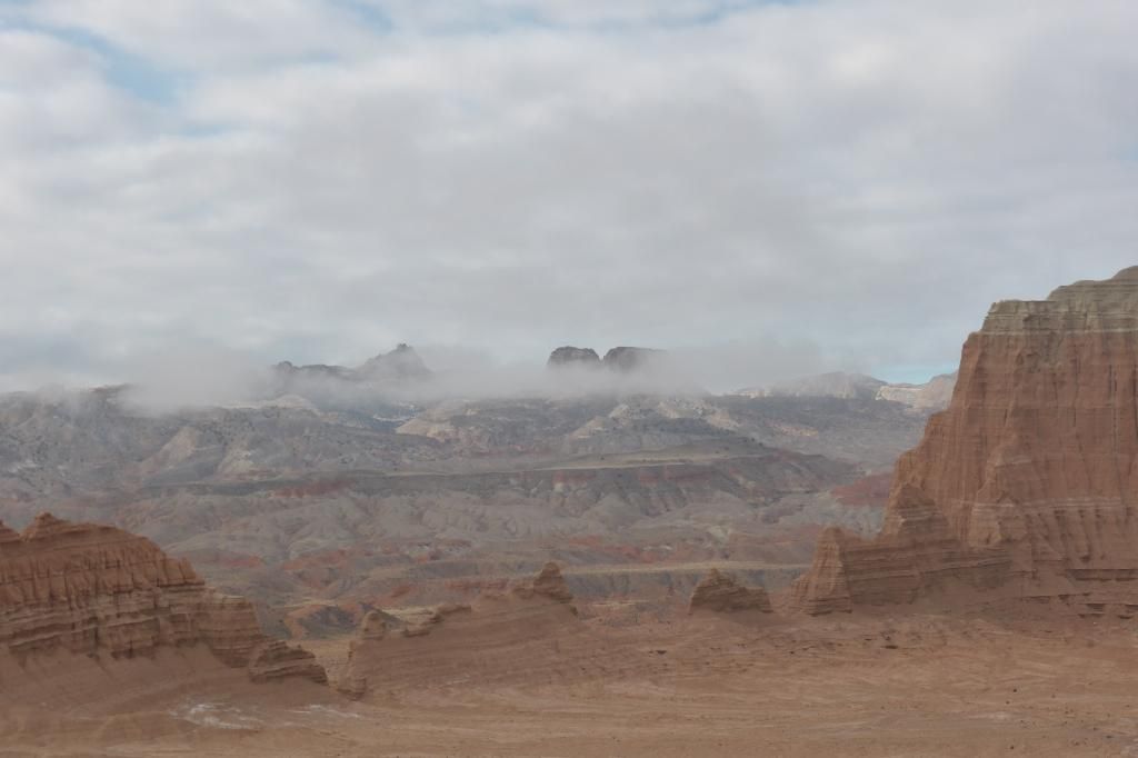
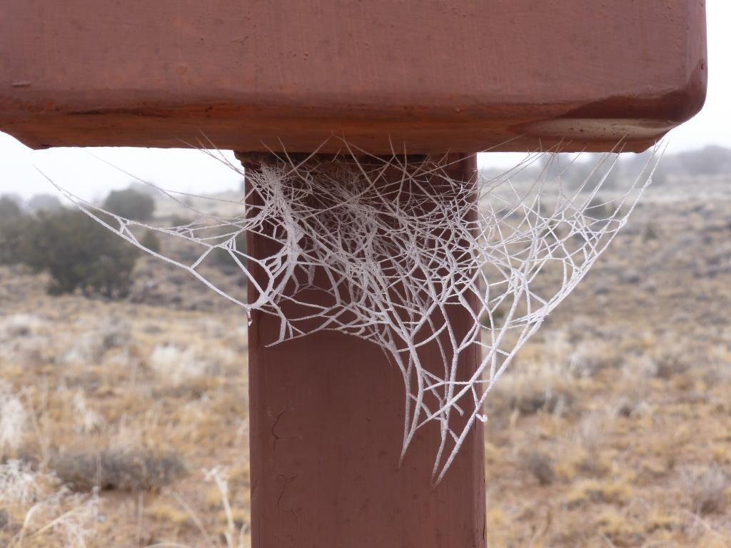
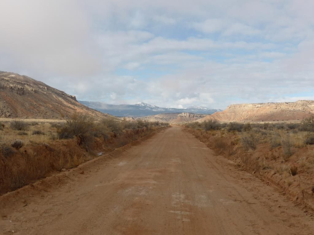
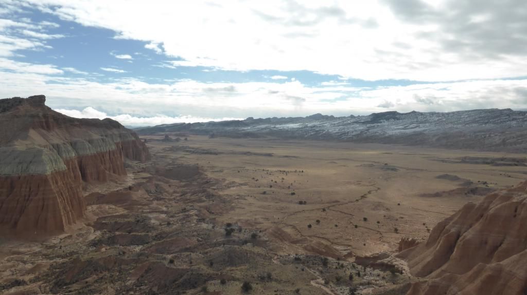
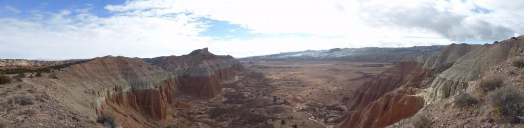
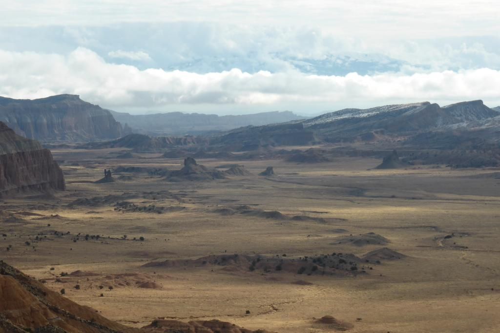
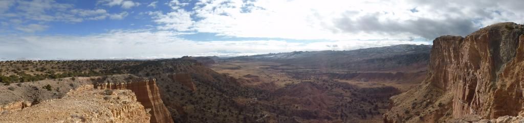
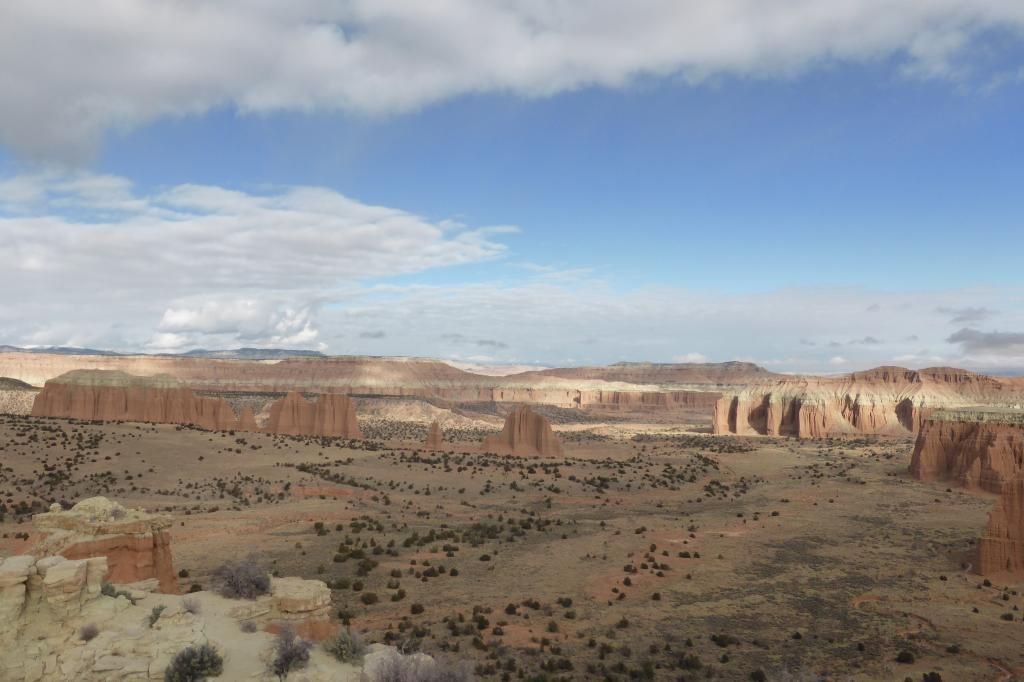
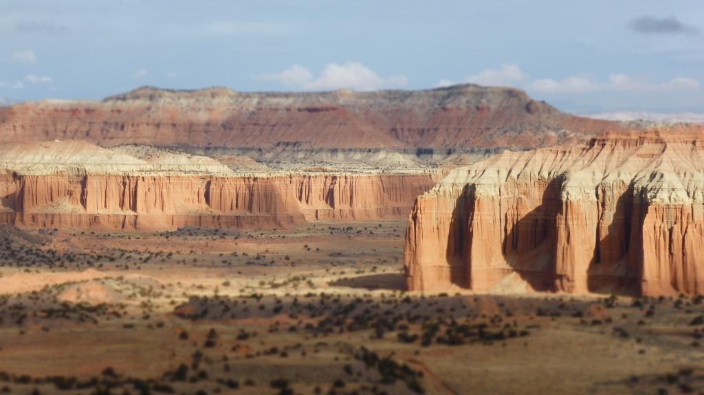
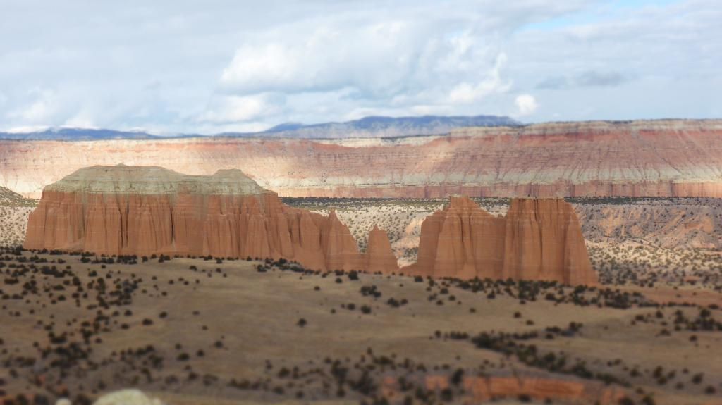
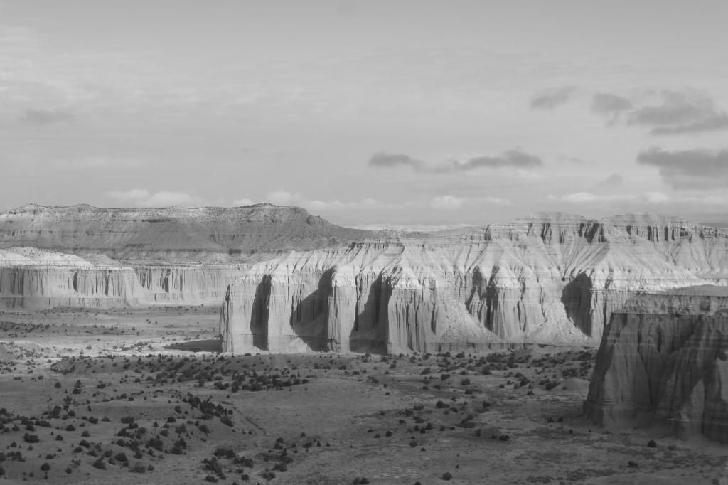
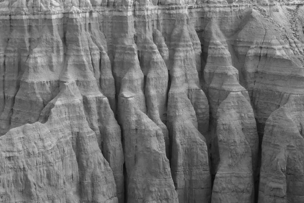
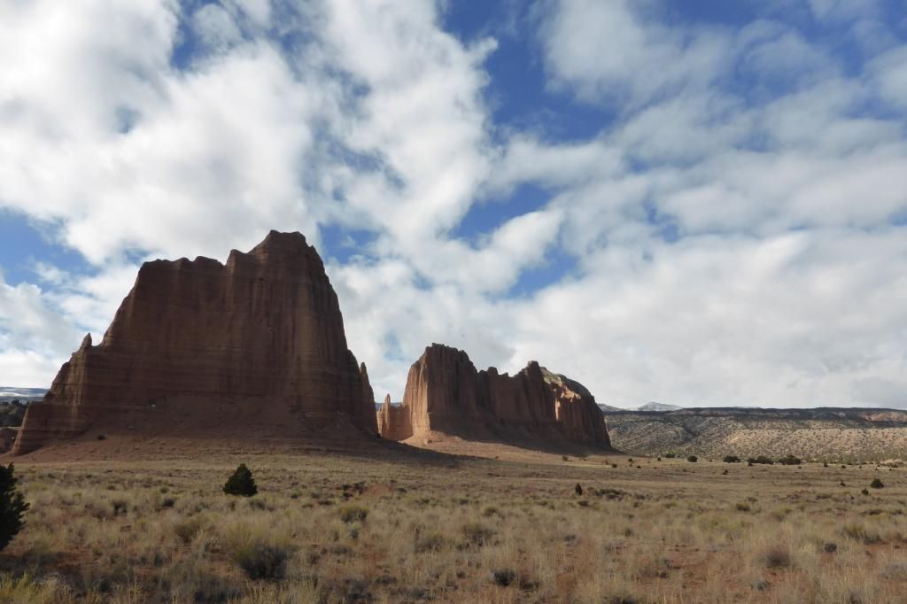
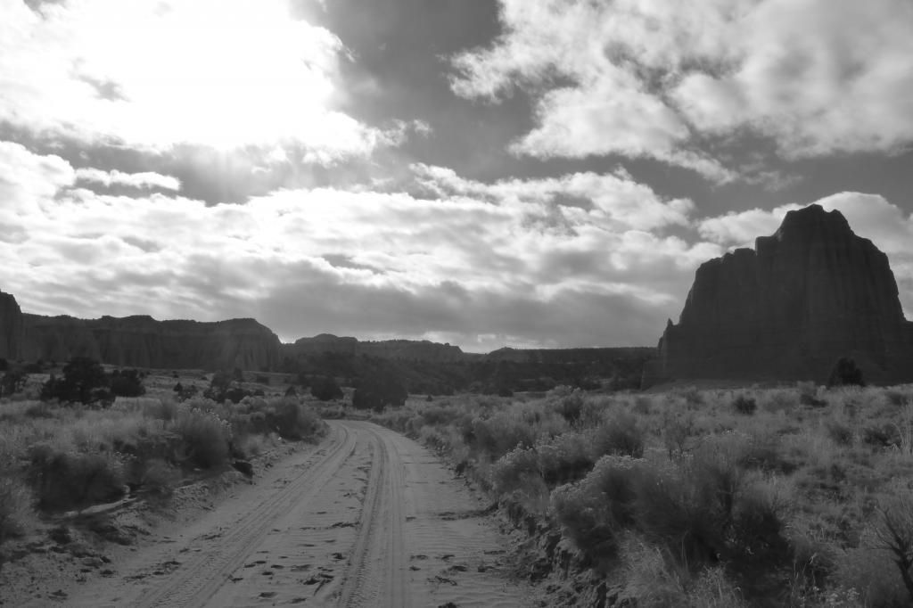
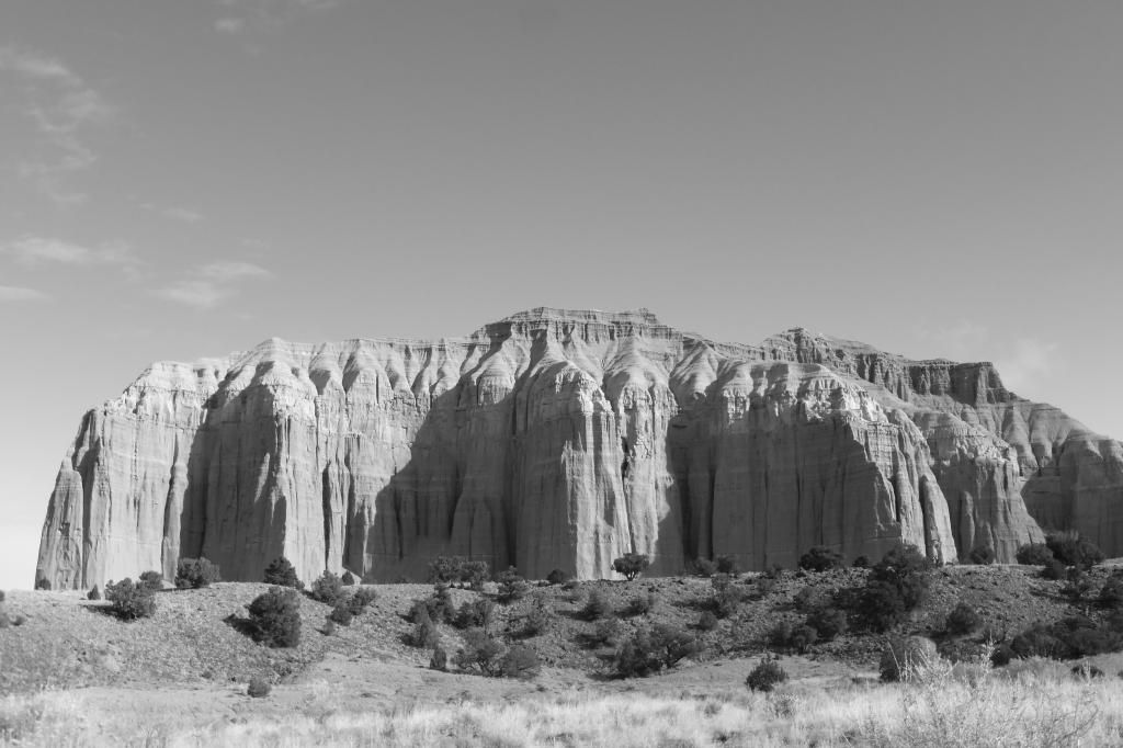
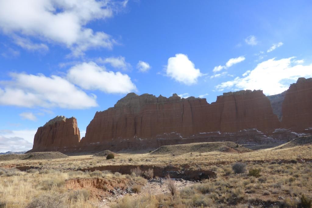
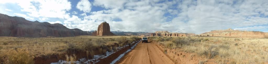
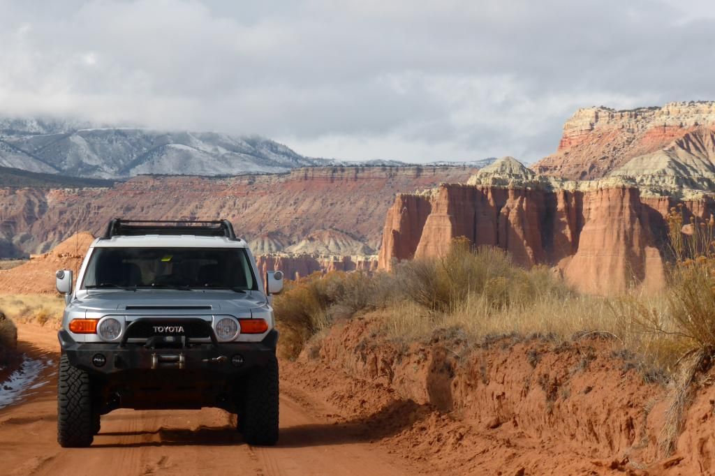
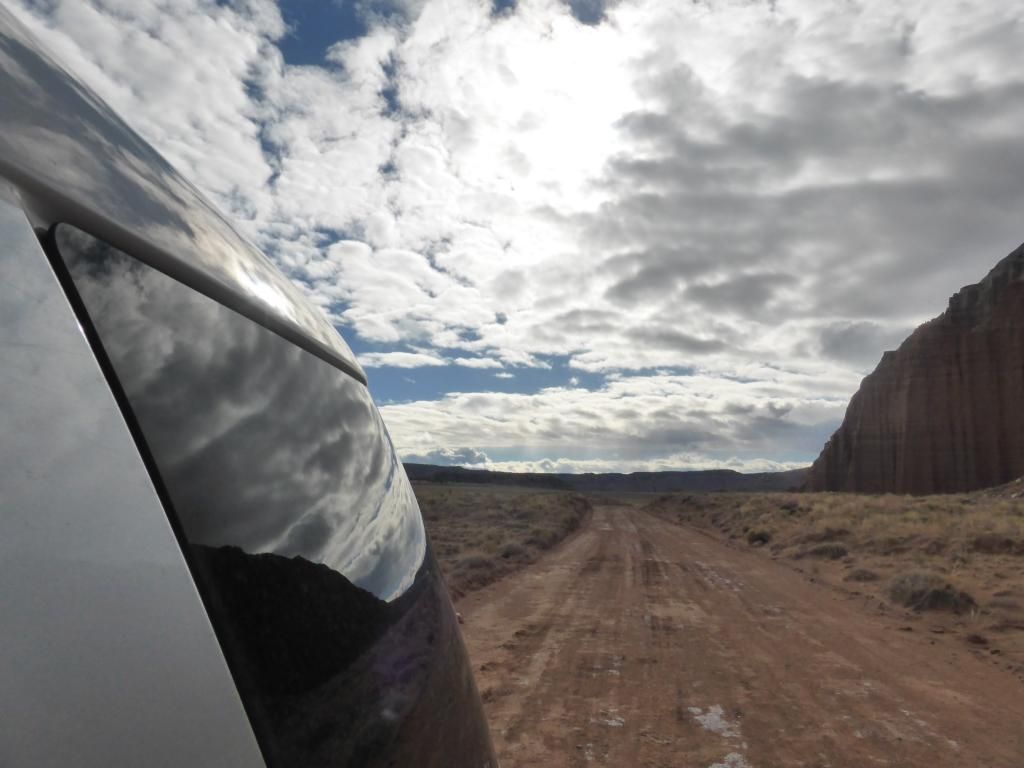
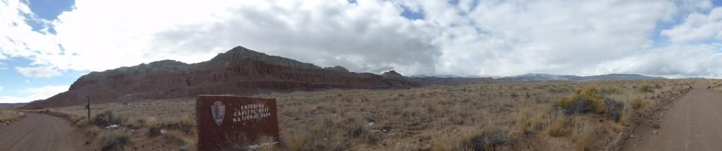
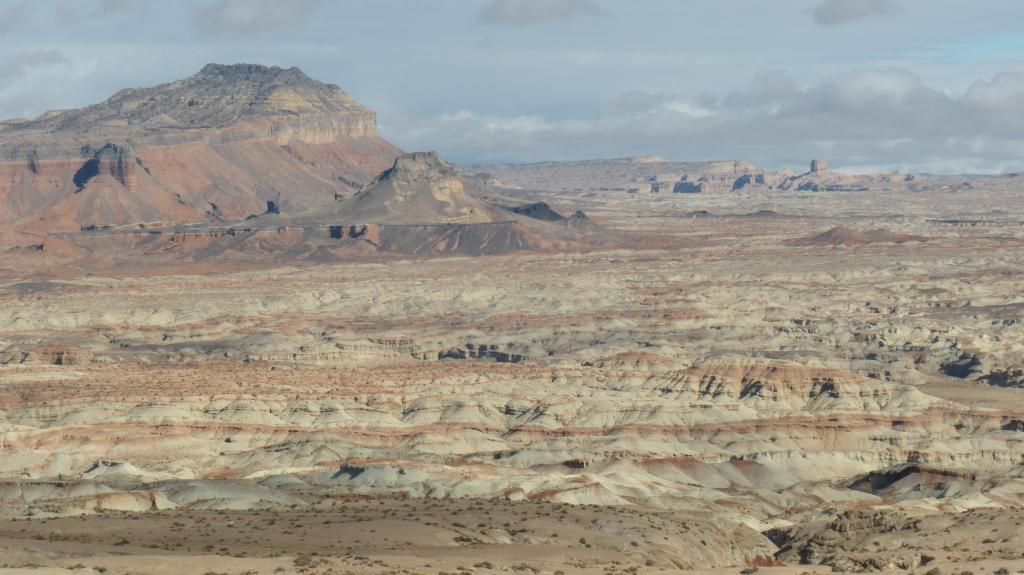
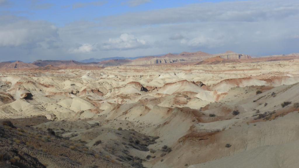
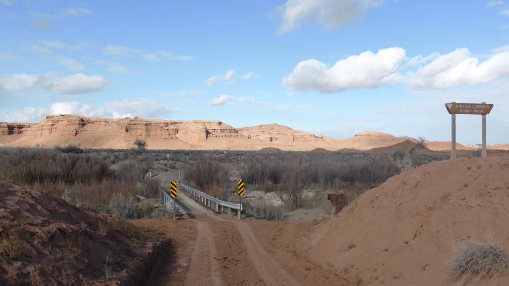
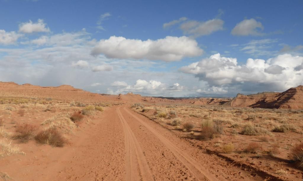
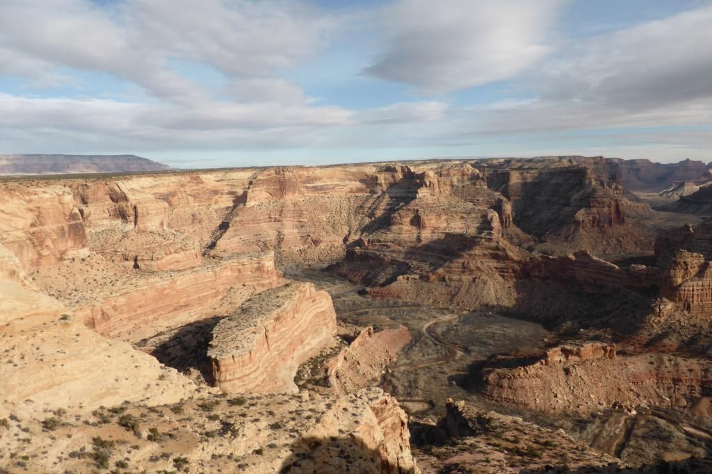
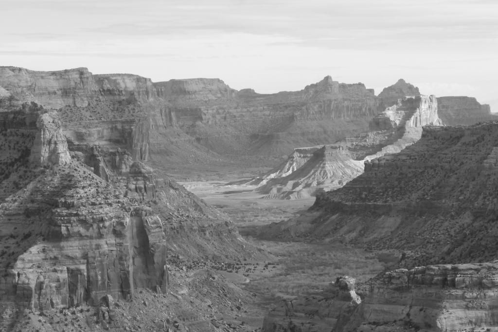
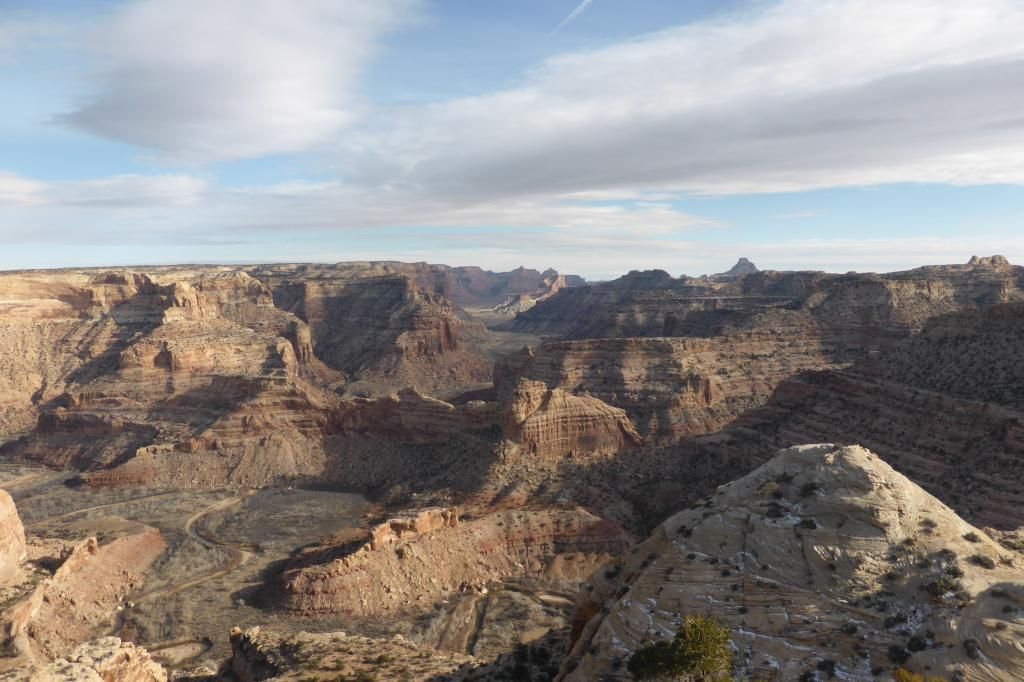
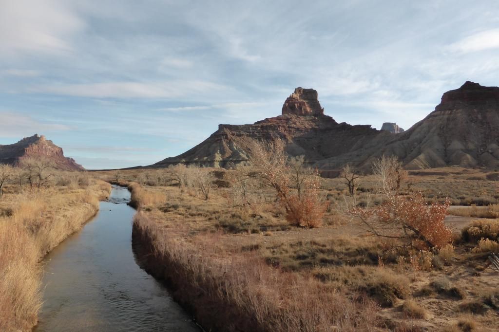
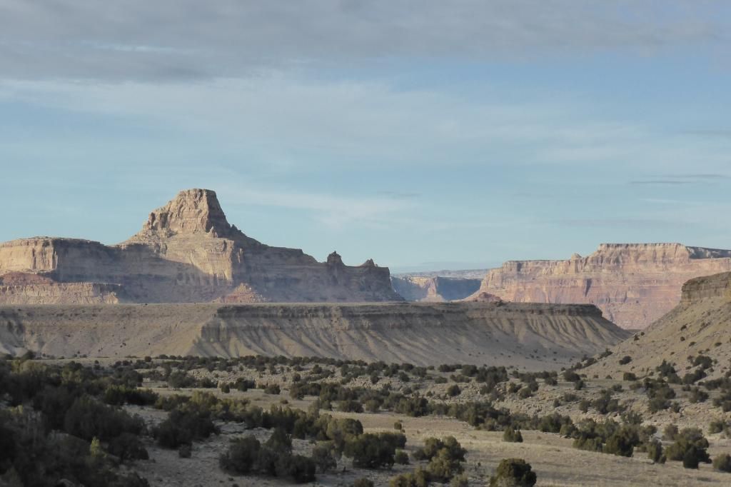
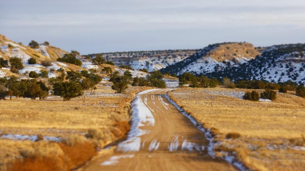
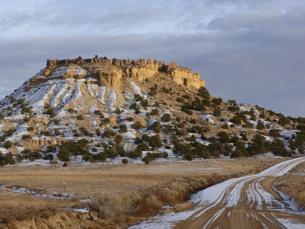
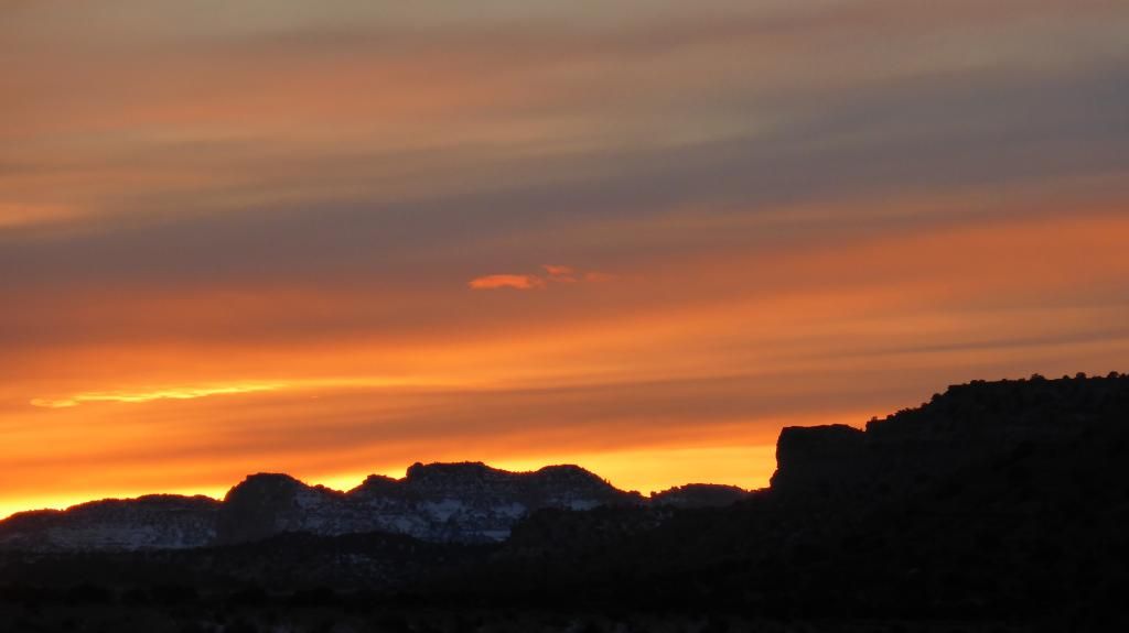
I had no plans other than I wanted to head south. I haven't been to Arches National Park in years(25-30), so that was my first destination. When I head south, I always find my way through the San Rafael Swell instead of HWY-6 or 10. No rush in my plans so I stopped at the Wedge Overlook for a nice quiet lunch. I was there for awhile doing nothing when I noticed I forgot to toss my sleeping bag in the FJ. So no camping out on this trip. :( After realizing my mistake I decided Moab would be my destination for my first night, and with the hotels at winter rates the cost was about 40% less than normal. After taking a few spurs that I've never been on before, and it getting dark out, I decided to skip Black Dragon and just follow Buckhorn all the way and jump on I-70 to Moab.

Day 1, San Rafael Swell....

P1030305_zpsf3f41af9.jpg


P1030311_zps57db65d8.jpg


P1030306_zps3e335123.jpg


P1030330_zps8b669469.jpg


P1030348_zpsb97c1fce.jpg


P1030380_zps8b1e297c.jpg


P1030385_zps68128527.jpg


P1030405_zps4744d42d.jpg


continued...
 
Last edited:

FlyJester

Adventurer
Day 2: Arches National Park and then I decided a trip over to the Hanksville/Poison Springs area was the next chapter. I got an early start at ANP so I could have the hike up to Delicate Arch to myself, and I'm glad I did. There was one other car in the parking lot when I got there in the morning. I eventually caught that group, redhanded that is. I was hiking up and could hear them as I was catching up to them, kinda ruined a good hike with their chatter. Then I ruined their day, as I caught up to them they(5 japanese tourists) were crouched on the ground??? As I got closer I heard, and saw, them carving something into the ground next to a cairn. Needless to say I scared the **** out of them by yelling, "HEY, ****** DO YOU THINK YOU ARE DOING!" They all jumped, having no clue I was coming up on them, as I reached them I read them the riot act about de-facing our national parks. They were being apologetic, but I was having none of that, I made sure they knew it was a federal offense what they were doing was a $500 fine. They claimed they didn't know, I called BS because the flyer for the park talks about graffiti in the park and at the trail head there is a sign warning/telling not to do it. Needless to say they didn't finish the hike up to the arch, and I'm sure they high-tailed it out of the park, and in case they didn't I stopped by the visitors center on the way out to inform the park rangers about what they did, who it was, and what kind of vehicle they were driving. Idiots.

After finishing ANP I headed over to the Poison Springs/Hanksville area. There was a little too much precipitation coming down so I decided it would be best to stay out of the washes and canyons. Instead I decided to find some overlooks that are in that area. I found some really nice ones, however the weather had everything blanketed with clouds and mist/rain/snow. This will definitely be a place I come back to when the weather is good, because I know I missed out on some good stuff. It was amazing how one area was covered with snow and then just a few hundred yards away nothing. I eventually worked my way back to Hanksville, topped the tank off, looked at the map and decided Capitol Reef National Park was next on the agenda. Off to Torrey I went for the night.

P1030442_zps30505328.jpg


P1030446_zps8aa34575.jpg


P1030443_zpsfe451b2a.jpg


P1030467_zpsc3c31bdb.jpg


P1030481_zps1f6641de.jpg


P1030482_zps56306759.jpg


P1030485_zps908dd963.jpg


P1030499_zps83d83040.jpg


P1030501_zps35d493d7.jpg


This guy followed me down from Delicate Arch...

P1030523_zps50ca8881.jpg


P1030512_zpsb88be63c.jpg


Poison Springs area...Dirty Devil Overlook...

P1030527_zps919aede4.jpg


P1030532_zps83c56347.jpg


P1030534_zpsdf326c8d.jpg


P1030535_zps789cad3b.jpg


P1030558_zpsde029ffa.jpg


P1030562_zps05329665.jpg


P1030563_zps61030743.jpg


This is as bright as the Sun shined for the day...

P1030569_zps911ee649.jpg


P1030574_zpsbafc8018.jpg


P1030580_zps49a23362.jpg
 

FlyJester

Adventurer
Day 3: By far my favorite day of my little trip south. Slept in a little after the long day before, got up joined some tourists for the free breakfast at the hotel. Just an odd anecdote; Does anyone here microwave their hard-boiled eggs after they are cooked? Some japanese tourists were doing that and the eggs were just exploding, I guess they couldn't understand the concept that the eggshell is a container that can be pressurized as well. As I sat there eating breakfast I looked over my Utah Benchmark for a route north/home that would be different than the norm. I found Hartnet Road, after crossing the Freemont River, it parallels the eastern border of Capitol Reef National Park. Following it on the map further and it(Cathedral Valley Road Scenic Backway) starts to head west into CRNP then it turn north and eventually leaves the park. From there it was onto Last Chance Loop Road, Willow Springs Wash Road, cross over I-70 get on the South Fork Wash trail that crosses/travels several times in the wash before ending at the Moore Cut-Off Road. From there it was pretty much the end of the trip, the rest of it was on the highways all the way home.

According to the map the west side of Cathedral Valley Road is closed for the winter, but I saw no closures/gates for the east side. So that was my route for the day. Stopping along the way at anything, and everything I found to be interesting. Whether that be the view, dead end spurs, cows, signs, spider-webs, Grabloid holes, or just stopping in the middle of nothing just because.

The day looked like it was going to be another "socked-in" kind of weather day, but to my delight it would change just as I started getting to the really good stuff.

Between Torrey and CRNP, there was a slight dusting of snow overnight...

P1030581_zps0bb908de.jpg


P1030587_zpse495063e.jpg


Freemont River crossing...easy crossing, but I've never crossed there so I was a little nervous, especially being solo. However, I watched the current, scouted the bank down and across from me to see how the exit would be, put it in 4WD an readied myself to hit the skinny pedal if need be. It didn't need to be. :)

P1030589_zps3289dc50.jpg


From there I started to climb up, and into the silver/grey mist. Crossing some flat, wide-open prairie, and eventually to the Bentonite Hills.

P1030591_zps130817cd.jpg


P1030596_zpsa1b8430f.jpg


P1030598_zpsf4012905.jpg


P1030603_zps7c2566ab.jpg


P1030608_zps613d09e9.jpg


From there it was the first overlook of the day...and probably my favorite...

P1030674_zpsbde747a5.jpg


P1030622_zpse50de99e.jpg


P1030624_zps2ffe2d0c.jpg


P1030626_zps6c12dd1b.jpg


P1030627_zps4abd04f1.jpg


Jailhouse Rock...

P1030632_zps7cb9e8f1.jpg


P1030646_zpsf3e610d1.jpg


...and the longer I was there the more the clouds started to breakup and the blue sky and sunshine started to be seen...

P1030653_zpsbed5fde5.jpg


P1030659_zpscefa0b35.jpg


Cool rock formation I noticed down on the valley floor...

P1030663_zps97981625.jpg


From there it was back on the trail eventually making it to the eastern entrance. While looking around I found this spider-web that was frosted over. Pretty cool in my book.

P1030683_zpsbb397750.jpg


P1030682_zpscaae3214.jpg


...then it was back on the trail...the weather getting better/clearing up every minute...

P1030685_zps97d1f634.jpg


Day 3 continued...
 

FlyJester

Adventurer
Day 3 continued...


Following the road I made it to "Upper" South Desert Overlook...

P1030690_zps71f76c6f.jpg


P1030691_zpsa52920d1.jpg


P1030697_zps8b29a520.jpg


P1030699_zpse775f745.jpg


...and from the overlook to was a quick drive over to the Cathedral Valley Overlook. It was from up here that I noticed the switchbacks leading down to the valley floor were in the shade and covered with snow. Luckily there was just a small amount of snow and ice on the trail, one more storm and those switchbacks will be shutdown for the winter.

P1030705_zps48767dda.jpg


P1030709_zps2b057575.jpg


P1030711_zps49428909.jpg


P1030713_zpsfbf8cdb1.jpg


One of my favorite photos from the trip...

P1030716_zpsd96a2507.jpg


P1030733_zps3ce370bc.jpg


P1030736_zpsa1bacc6a.jpg


P1030737_zps0a350d73.jpg


P1030748_zps3ec97ae9.jpg


Loved the fact I had the park to myself...

P1030758_zps3dd61bfc.jpg


Then I came across this tucked away in a boxed in canyon...Gypsum Sinkhole maybe, more like a Grabloid tunnel to me...

P1030759_zps73f33660.jpg


P1030760_zps4abd4732.jpg


P1030764_zpsd4b4e3a7.jpg


P1030757_zps57cf404a.jpg


From there I finally left CRNP via the north entrance...

P1030779_zpsba6ec24e.jpg


P1030786_zps7f3619b5.jpg


From there it was through the western side of the San Rafael Swell heading eastward and to the north via Last Chance Loop Road and Willow Spring Wash...

Once again another area I've never been to...Oil Well Bench...

P1030790_zps09b50a1d.jpg


P1030794_zpsae5f4b12.jpg


Lone Tree Crossing of Muddy Creek and from there it was across I-70 and homeward bound.

P1030802_zps8ccec790.jpg


P1030804_zps9777f59e.jpg


Fun times, that I will never forget and hope to return there again someday. If anyone is interested the roads/trails I was on are on pages 68, 76 and 77(Poison Springs area) of the Utah Benchmark Atlas. It was fun to navigate by just using a paper map for the first time in a long time(I did have my GPS with me though for things I couldn't figure out on the map.) I will definitely be doing that again as well.

I hope you enjoyed my wanderings, and my ramblings to go along with it. :)
 

unkamonkey

Explorer
Good ride, We have been in that area several times for Thanksgiving or Christmas. The weather is always the best on the day you are leaving.
 

1leglance

2007 Expedition Trophy Champion, Overland Certifie
amazing pics and I love that you did this trip with weather that would keep most people away
thanks for posting the write & pics
 

Ranger Steve

Adventurer
Awesome pictures. Looks like you had a great time. Can't believe you being a postal worker they gave you time off the week before Christmas lol.
 

pmccumber

New member
Somebody told me a few years back that the best thing about living in Colorado was how close you were to Utah. Got over there 4 times last year. Great pics. Thanks for the share.
 

LiveRust

Observer
Just stumbled on this Devon, Very nice!!! I really need to get away for another solo trip in the desert.
 

Forum statistics

Threads
185,891
Messages
2,879,263
Members
225,450
Latest member
Rinzlerz
Top