Death Valley - February 2015

1MK

ExploreDesert
https://flic.kr/p/qZdomV

Full Album https://www.flickr.com/photos/125556024@N05/sets/72157650507638850/

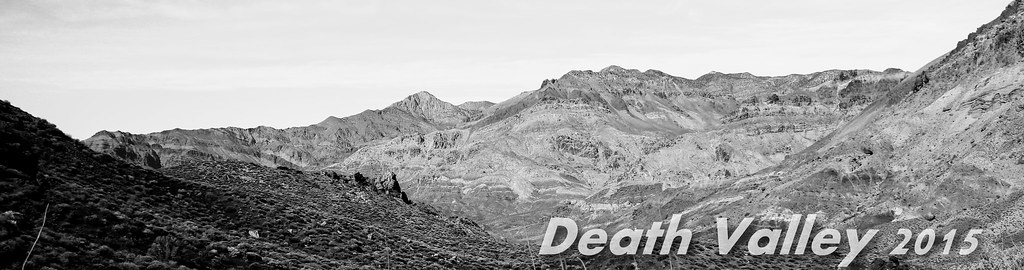
It started sometime last year, the idea of venturing north and out of our typical Southern California back-country. The talk of a new frontier, new sights and wonder whats around the next corner. Anza-Borrego to the High Desert is our "go-to", and while there's still more to see, we've explored much of it and know nearly every mile by heart. It was time to get away from getting away. We set our sights on Death Valley, due to the sheer amount of area to cover both on and off-road it was the perfect candidate. Couple weeks of discussing with the group, planning routes, way-points, camping spots, where to grab fuel and we were on our way...

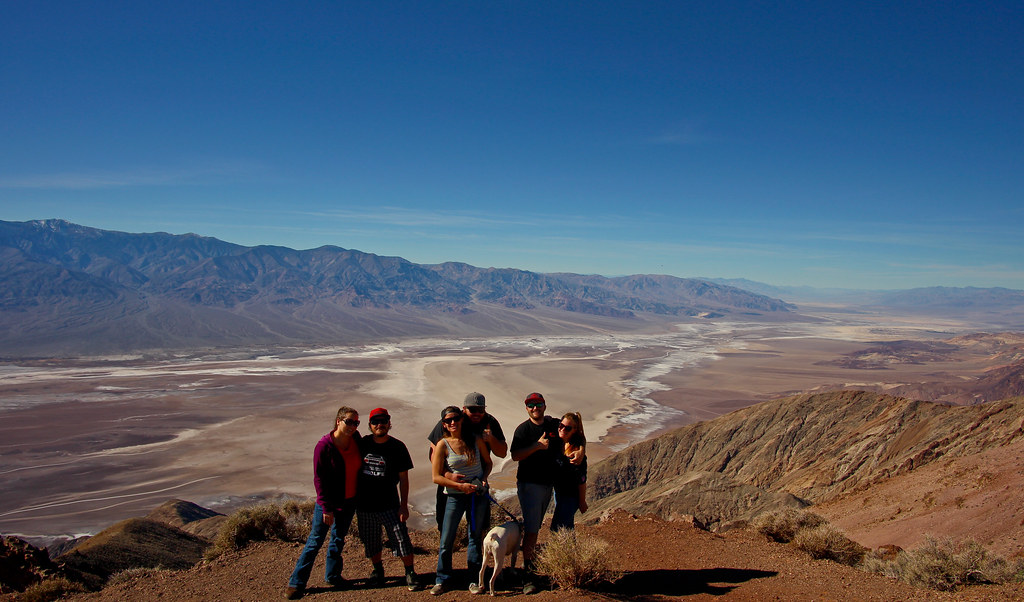
2 dogs. 3 vehicles. 4 days. 6 people. 1200+ miles.

Perfect.

Closed up the shop early, loaded up the last minute items and headed over to my parents house to grab some firewood and use their property as the randevu point. Waited for everyone to trickle in, double checked what we had and anxiously awaited the drive and adventure to come.

https://flic.kr/p/rguag4

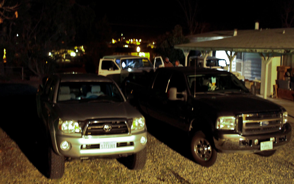
https://flic.kr/p/rgqCzN

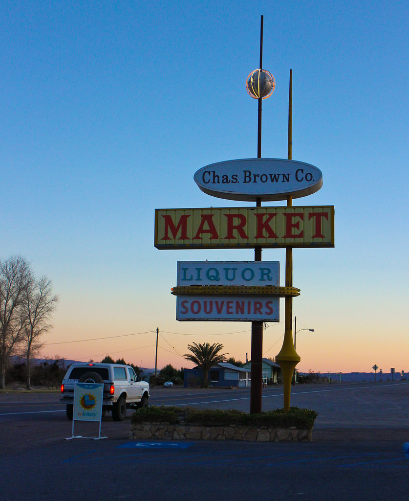
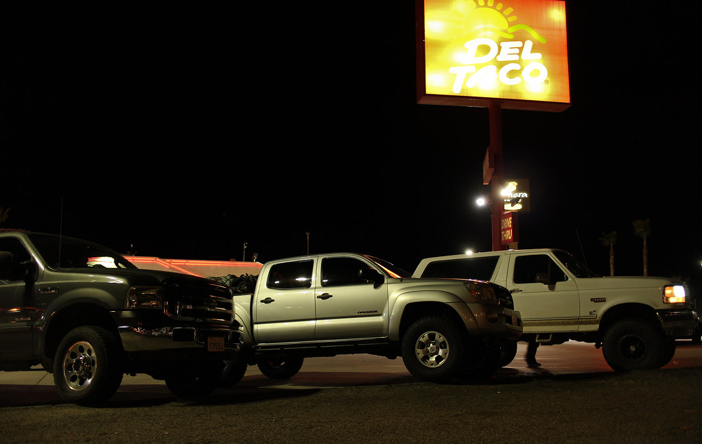
Finally, time to hit the road. Seems like the minutes are hours when you have somewhere to be, and this was no exception. Not only anxious, but hunger was starting to kick in. And what's any High Desert road trip without a stop to Barstow Del Taco?!?

https://flic.kr/p/rgqCGw

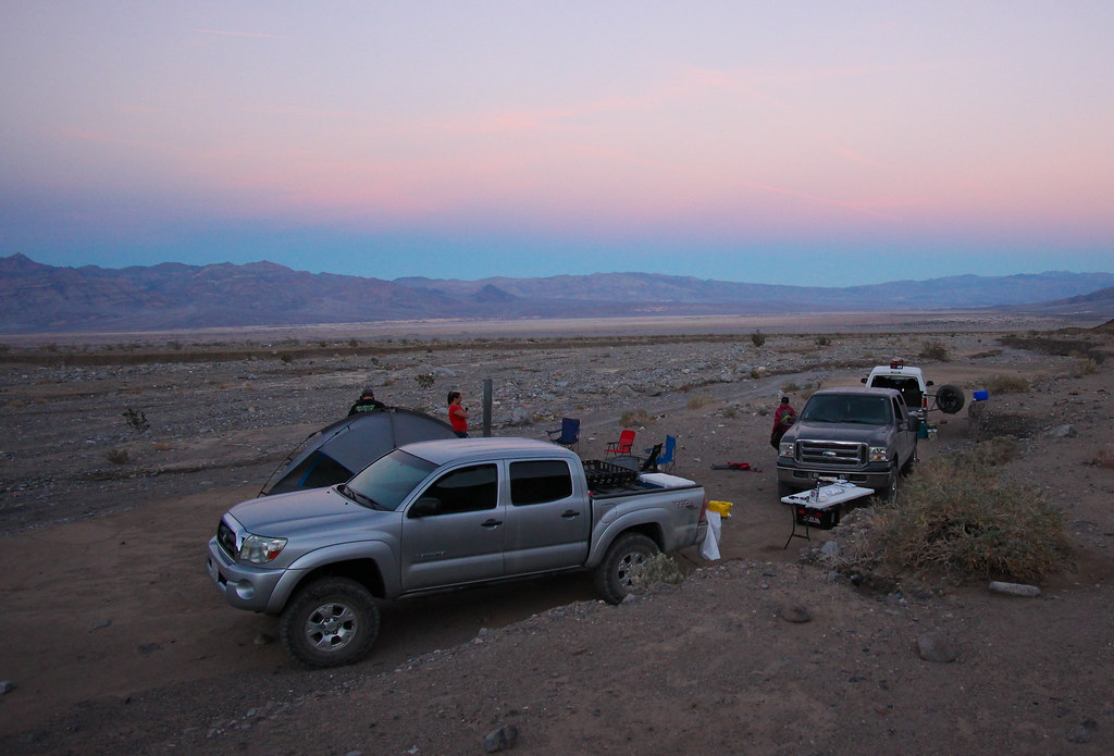
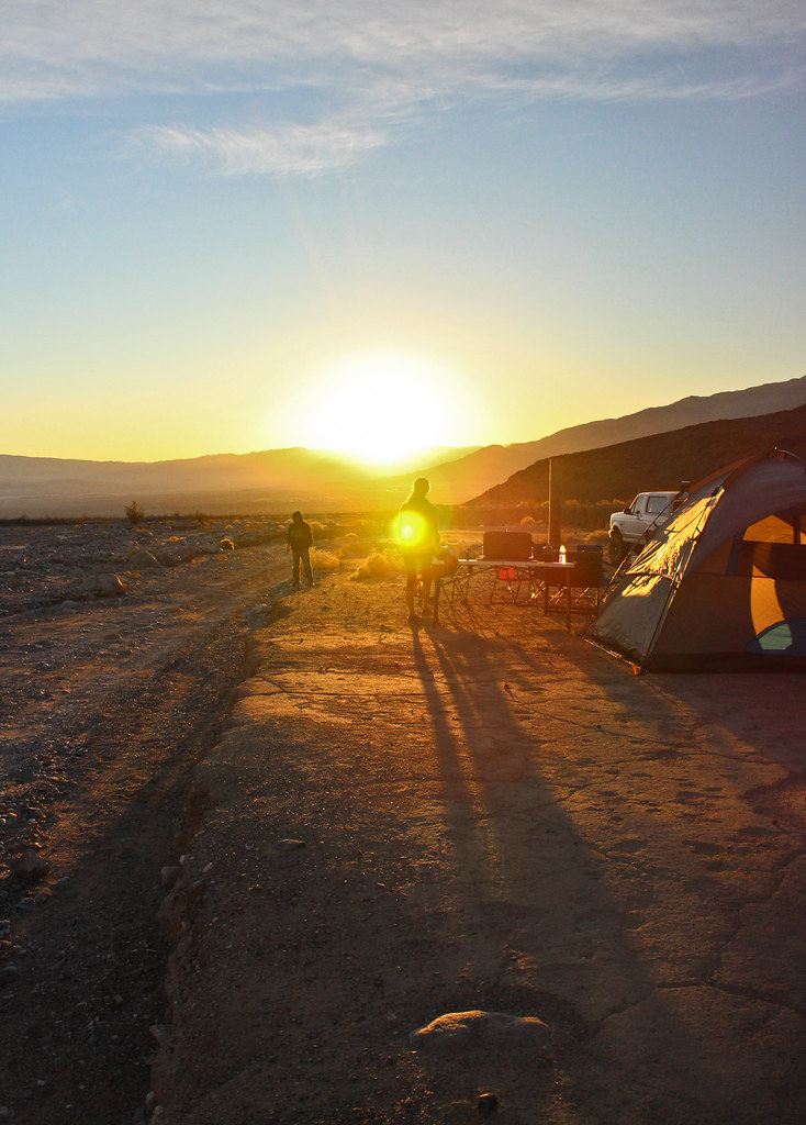
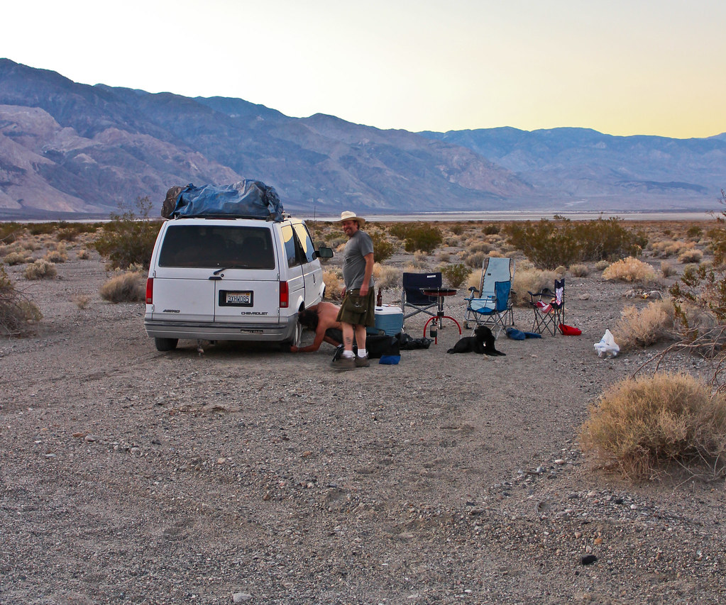
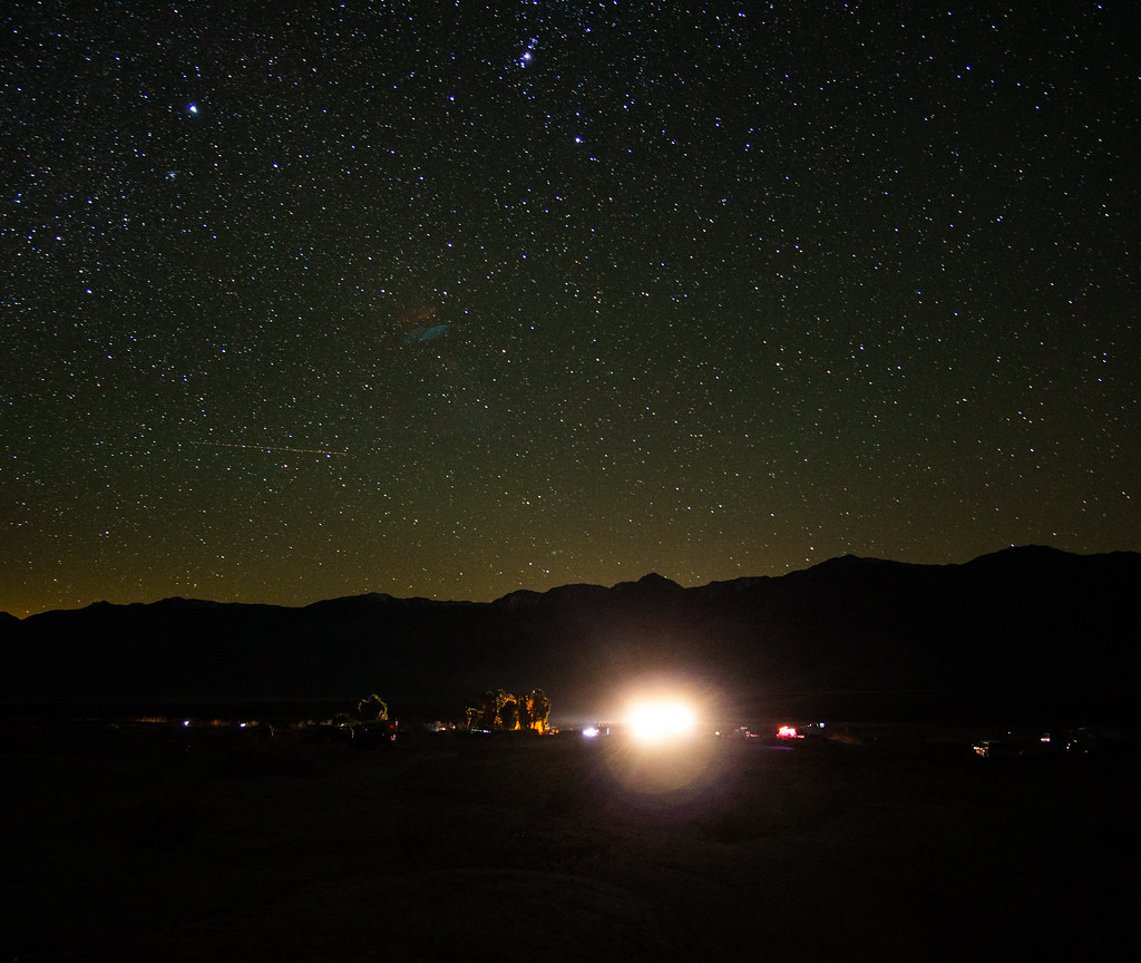
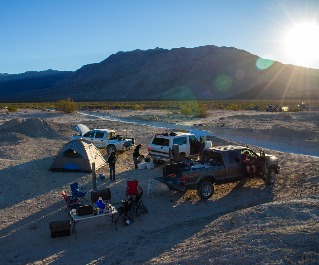
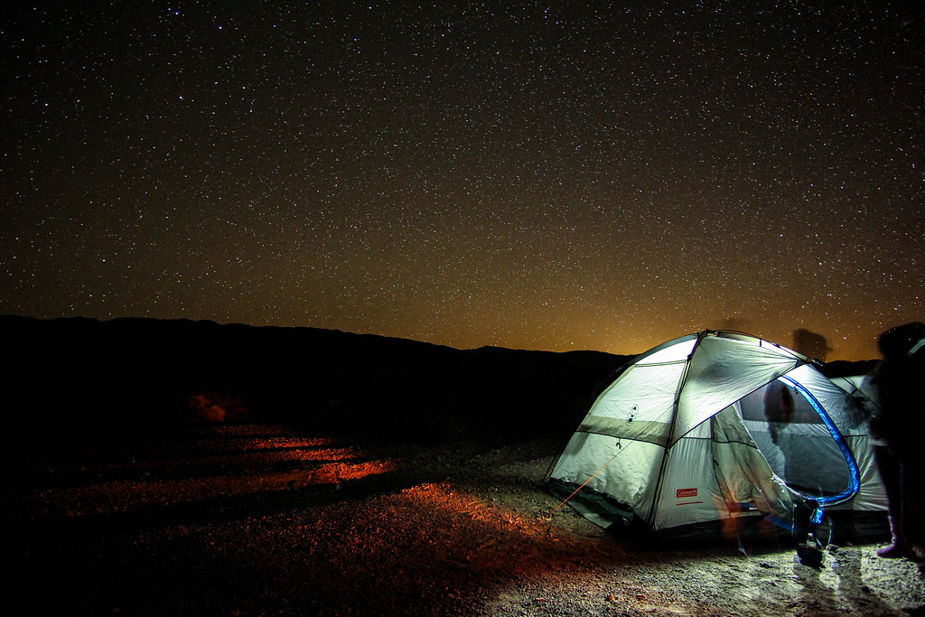
Bellies full, and a large cup full of root beer (for me anyways) and it was off to Baker for our last fuel stop before hitting our camp around Saratoga Wash. Found a good spot, got setup for the night, lit off the camp stove and had a few beverages to celebrate arrival to the first stage of our adventure.

https://flic.kr/p/qjStqe

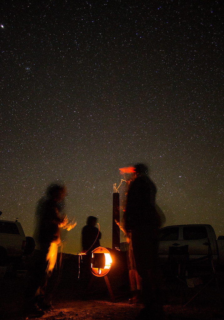
https://flic.kr/p/rgD2kX

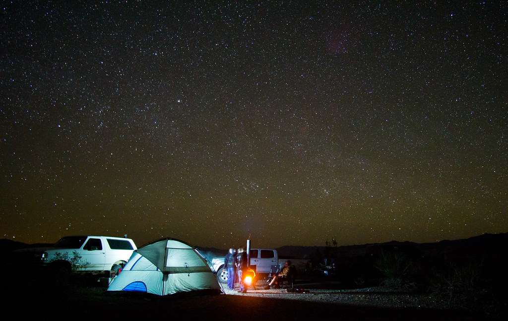
https://flic.kr/p/qjvtto

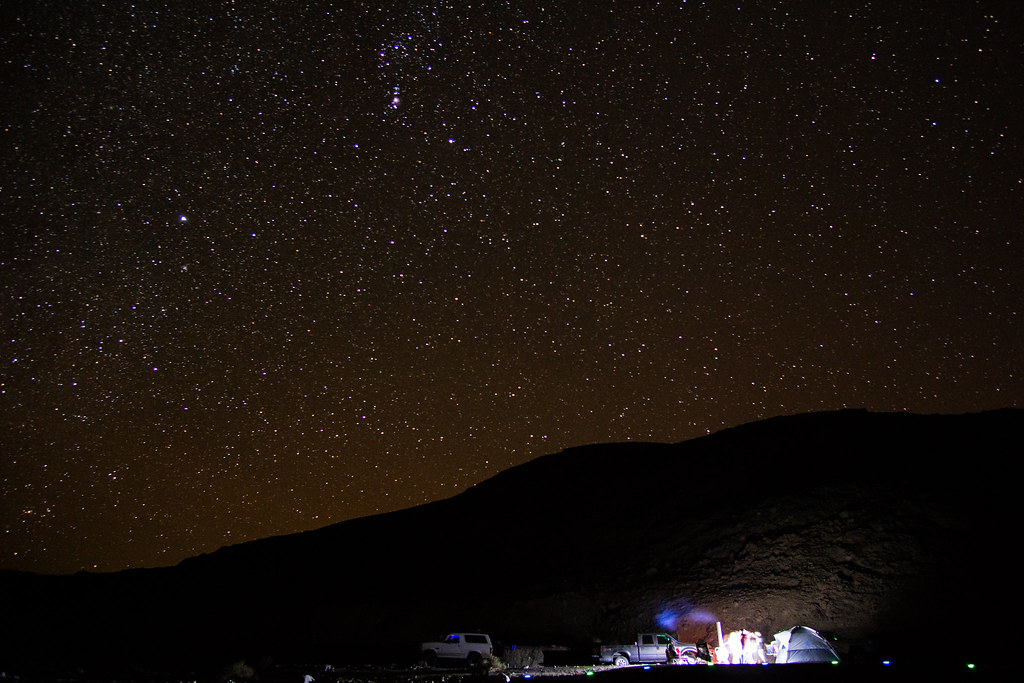
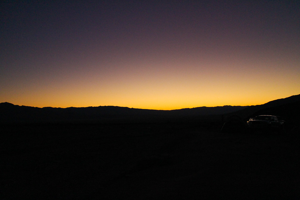
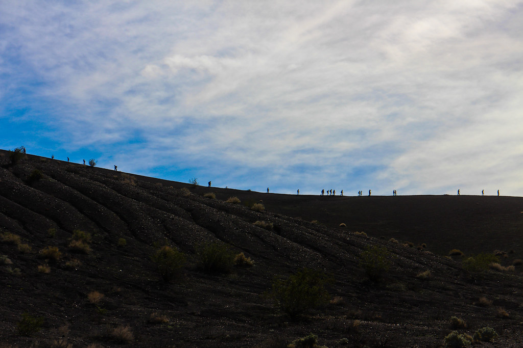
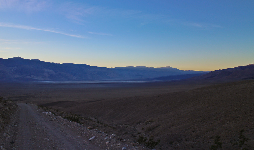
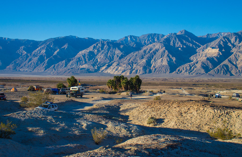
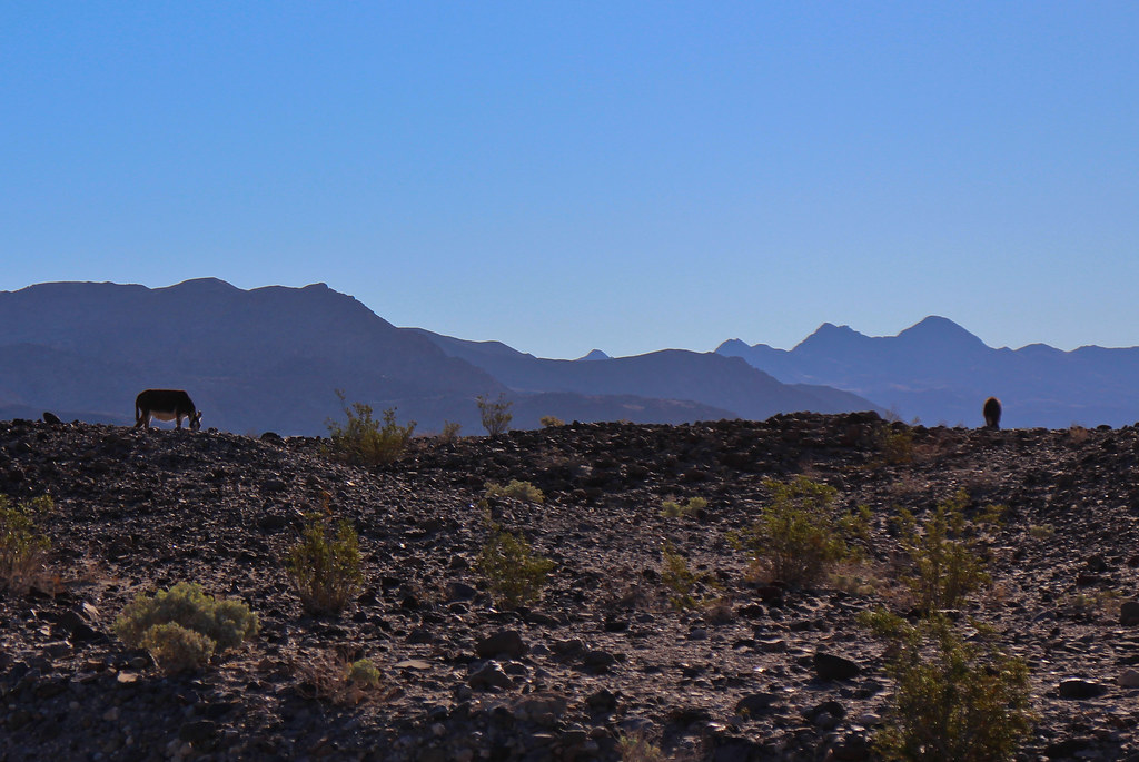
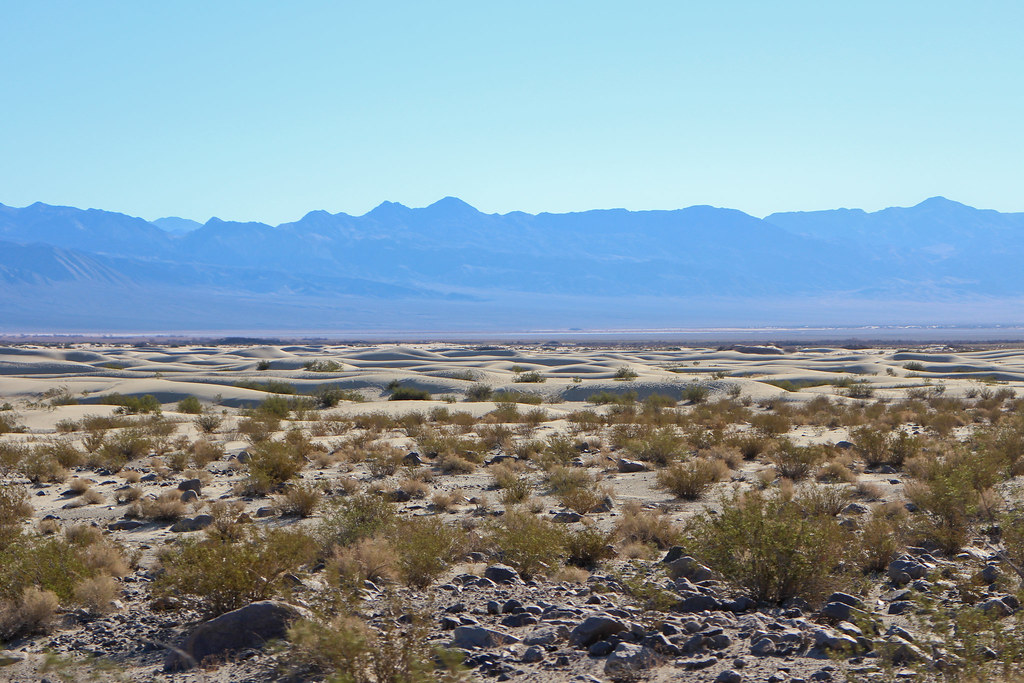
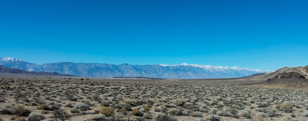
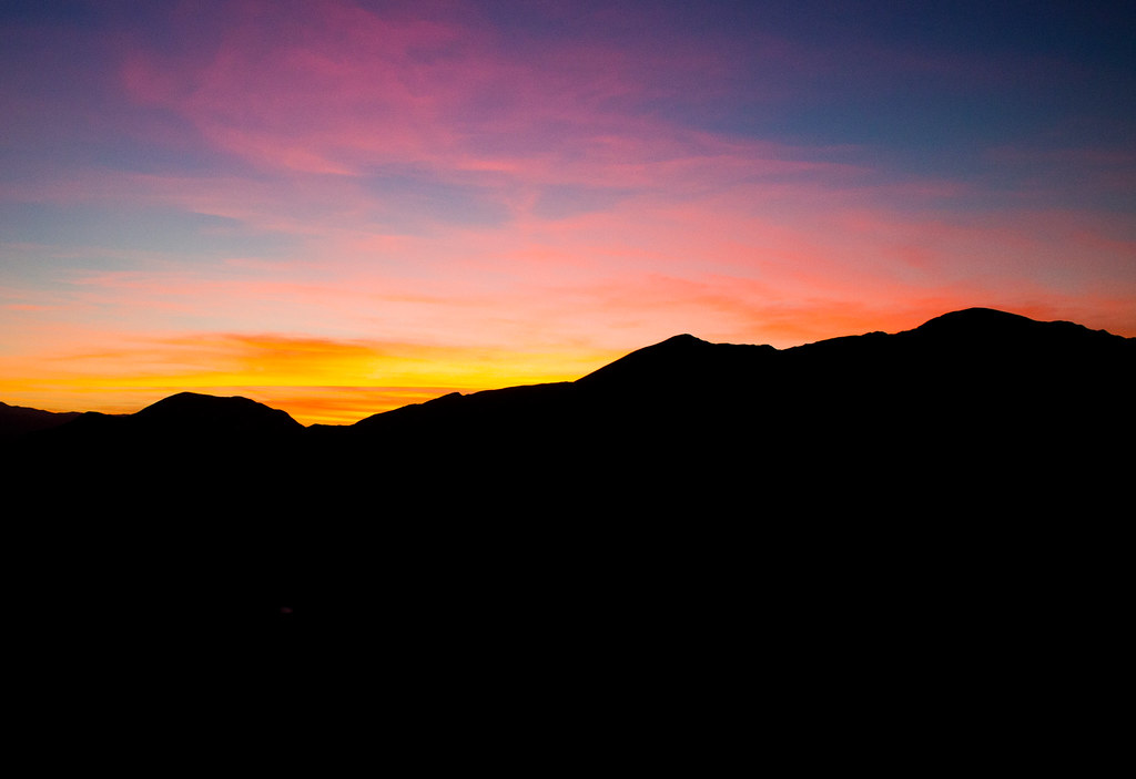
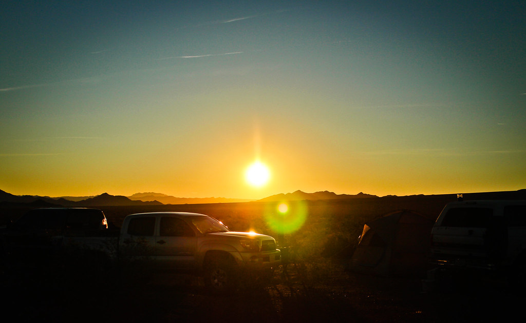
As much as it's a bummer to arrive late and tired, the plus side is waking up to see your new surroundings in the morning. And what a view it was.

https://flic.kr/p/qYXAaf

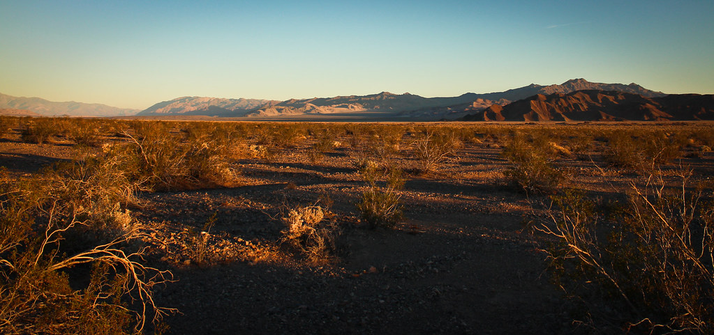
https://flic.kr/p/qYWzNd

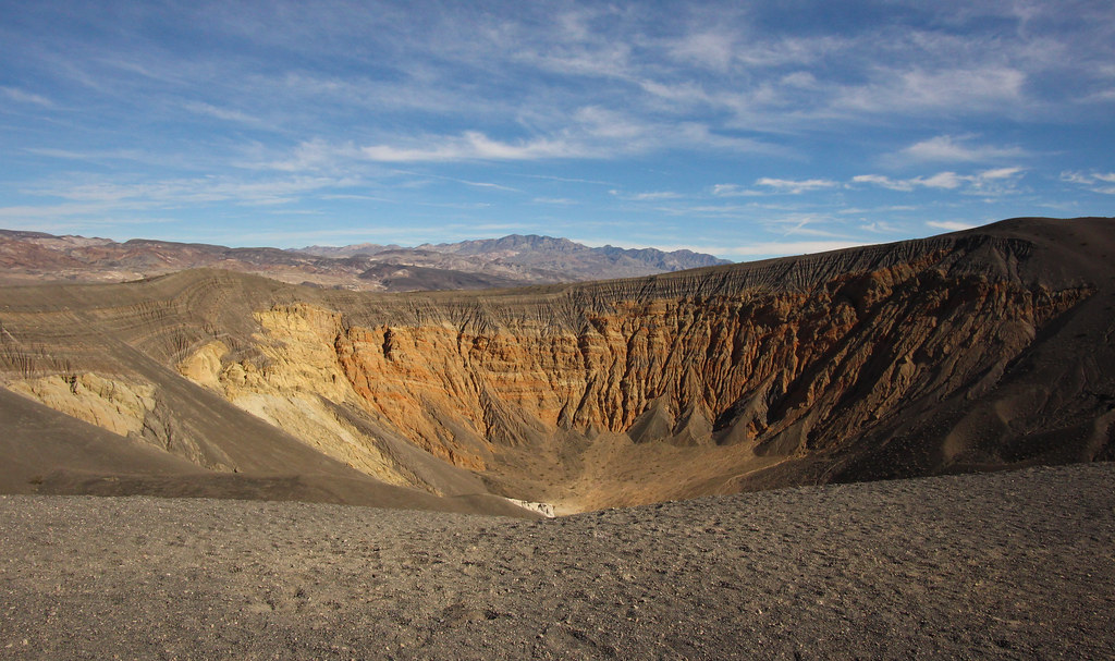
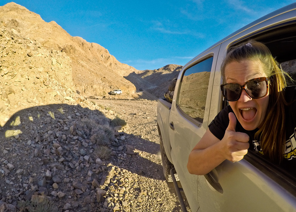
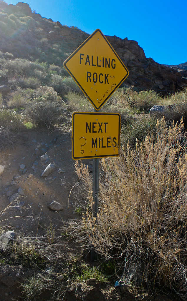
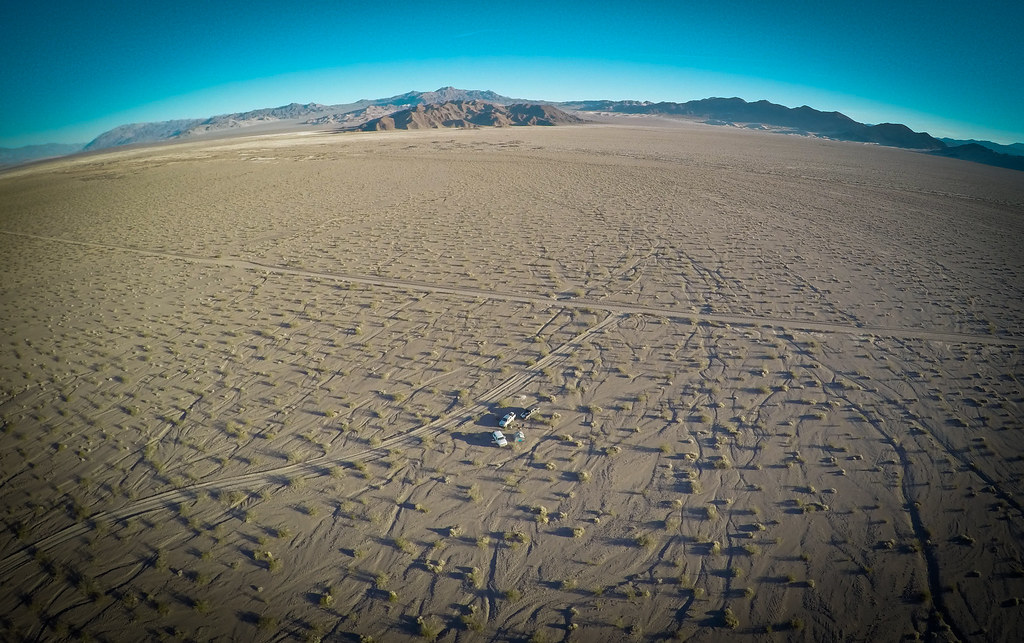
(Out of respect for the new National Park rules, this was the only time the Multicopter was put to use)
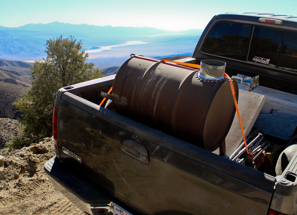
https://flic.kr/p/rgnWh6

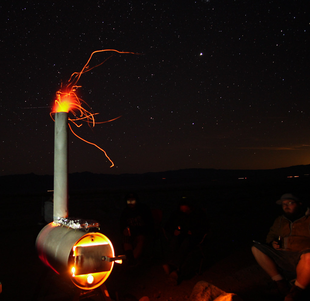
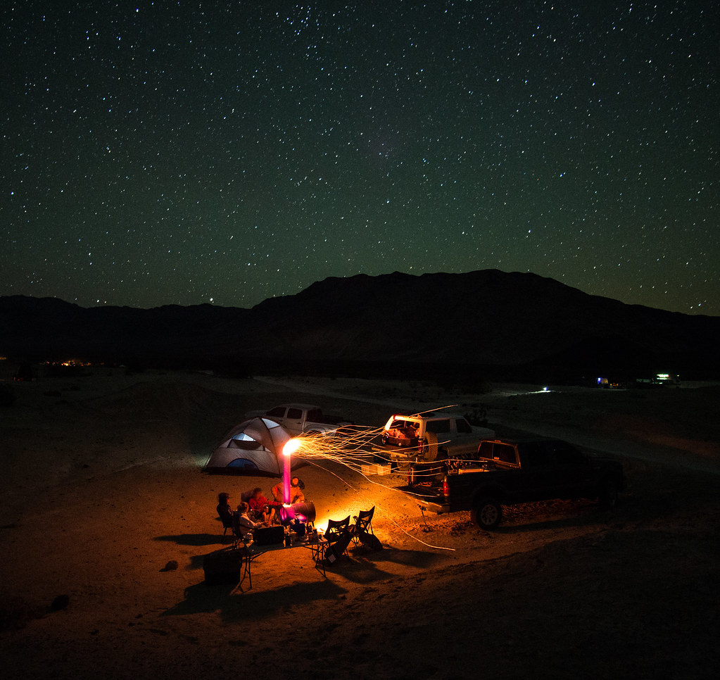
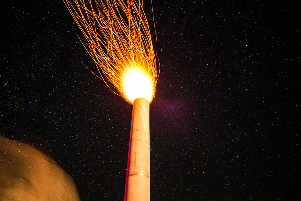
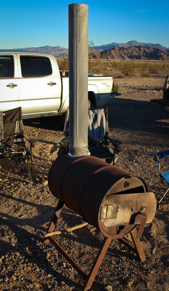
In our neck of the woods, we use these for outdoor warmth. Whether it's around the house, or out in the desert, this are the king of pumping out heat. We call them "log hogs", nothing more then a outdoor barrel stove. Work great, lots of heat, no smoke, can cook your food on it and contains all the ashes when you're done.

https://flic.kr/p/rgqDu3

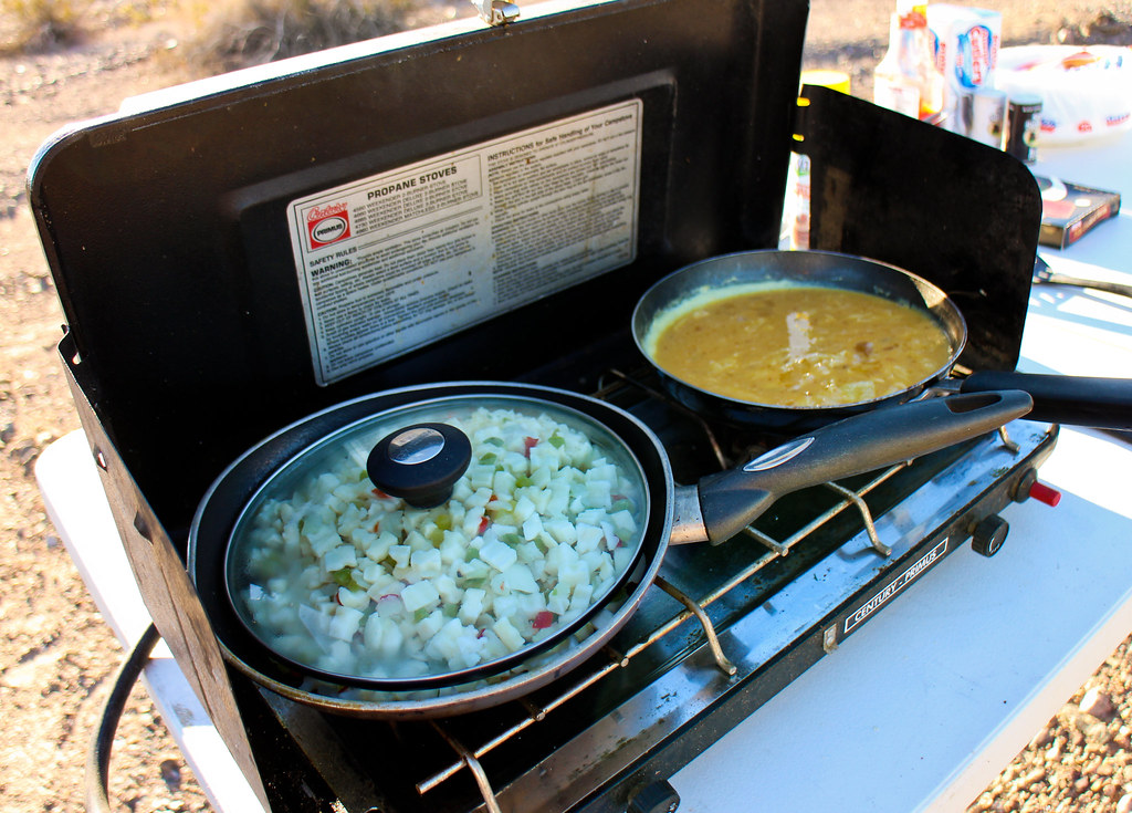
Can't start the day without a complete breakfast. Thankfully we have some awesome better halves that put up with all our adventures and feed us along the way.

https://flic.kr/p/qYWA6C

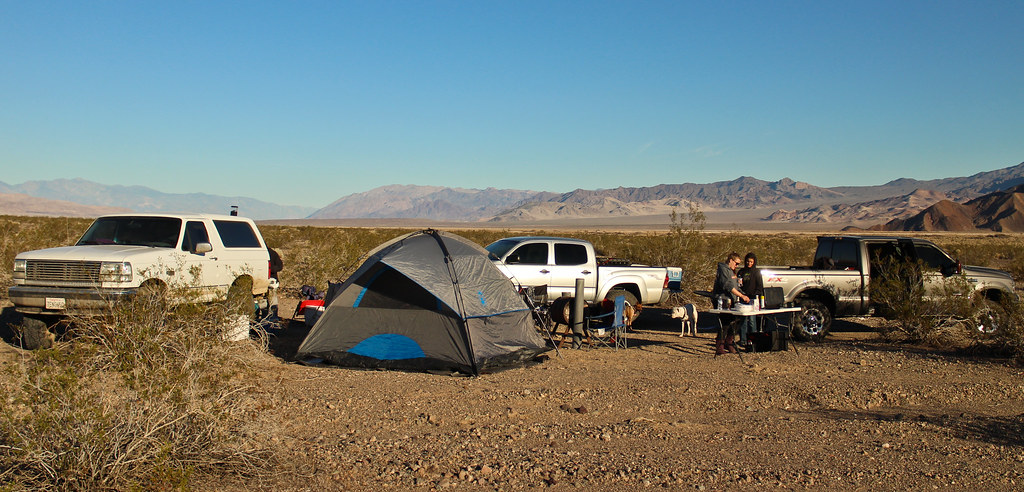
https://flic.kr/p/qYWAeo

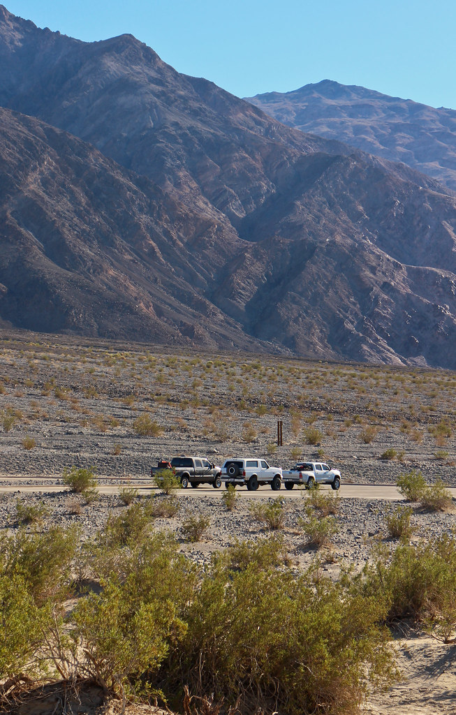
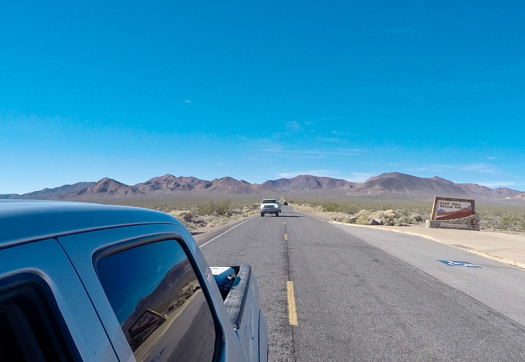
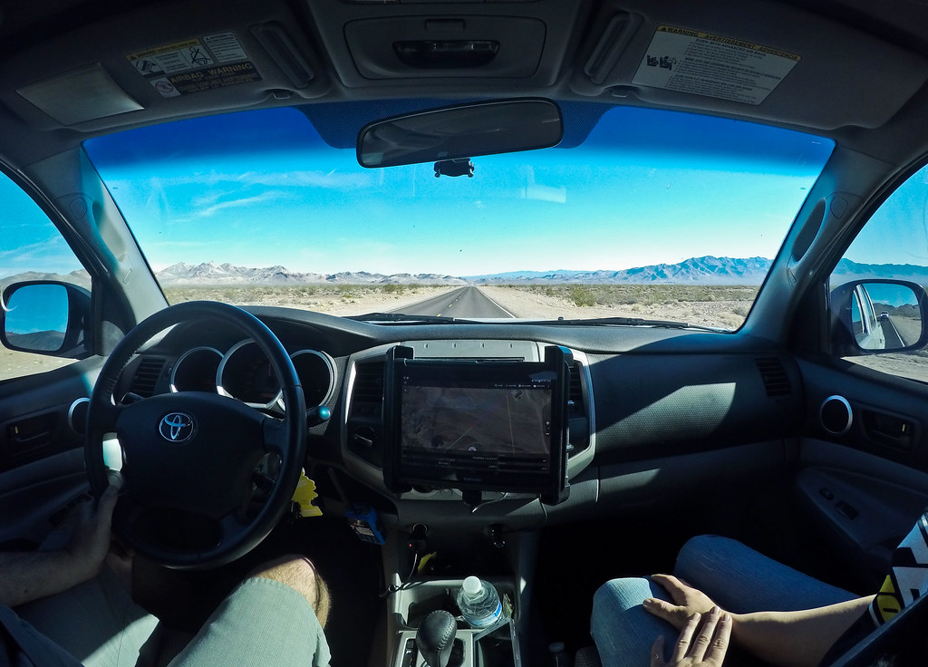
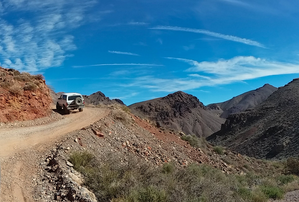
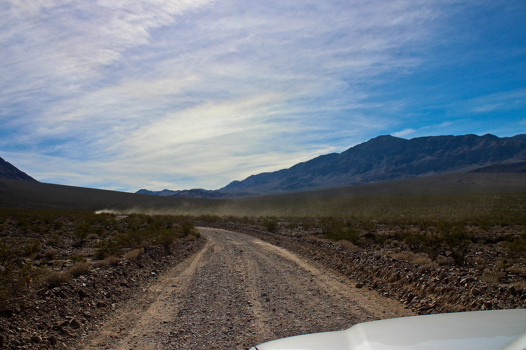
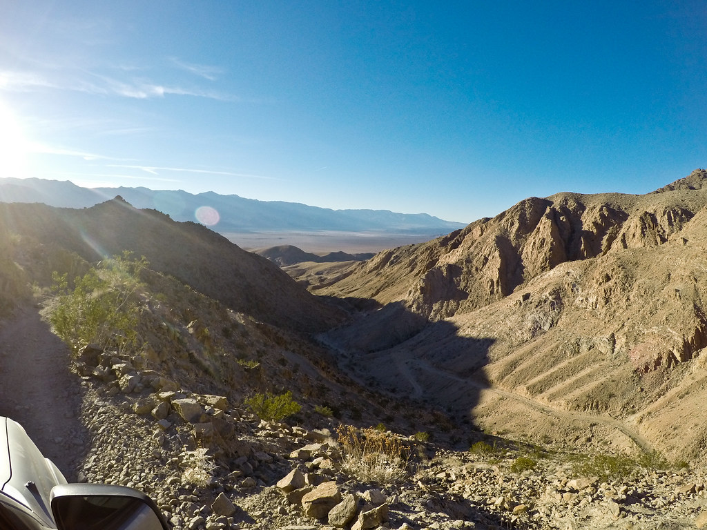
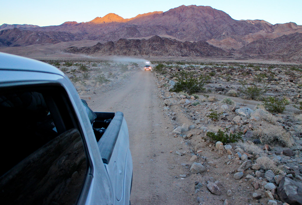
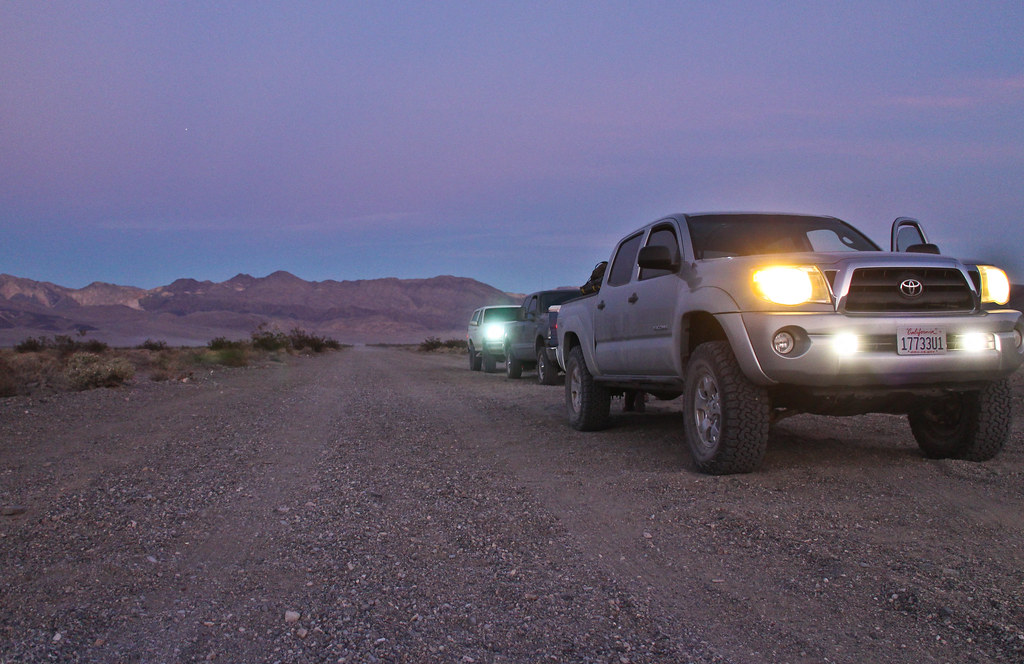
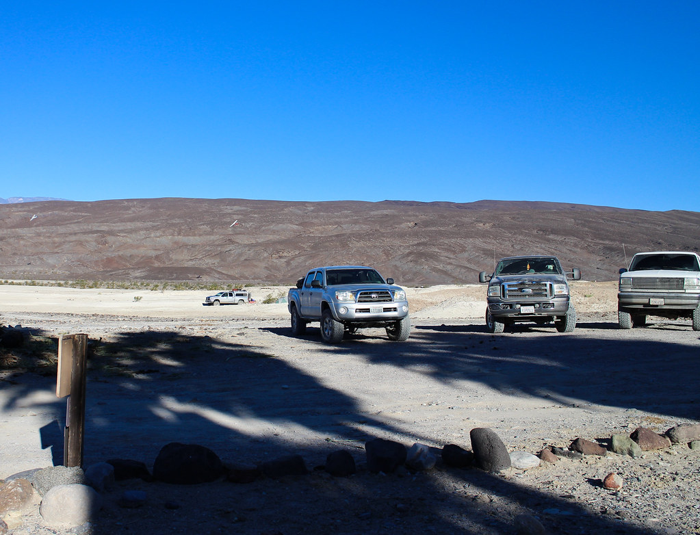
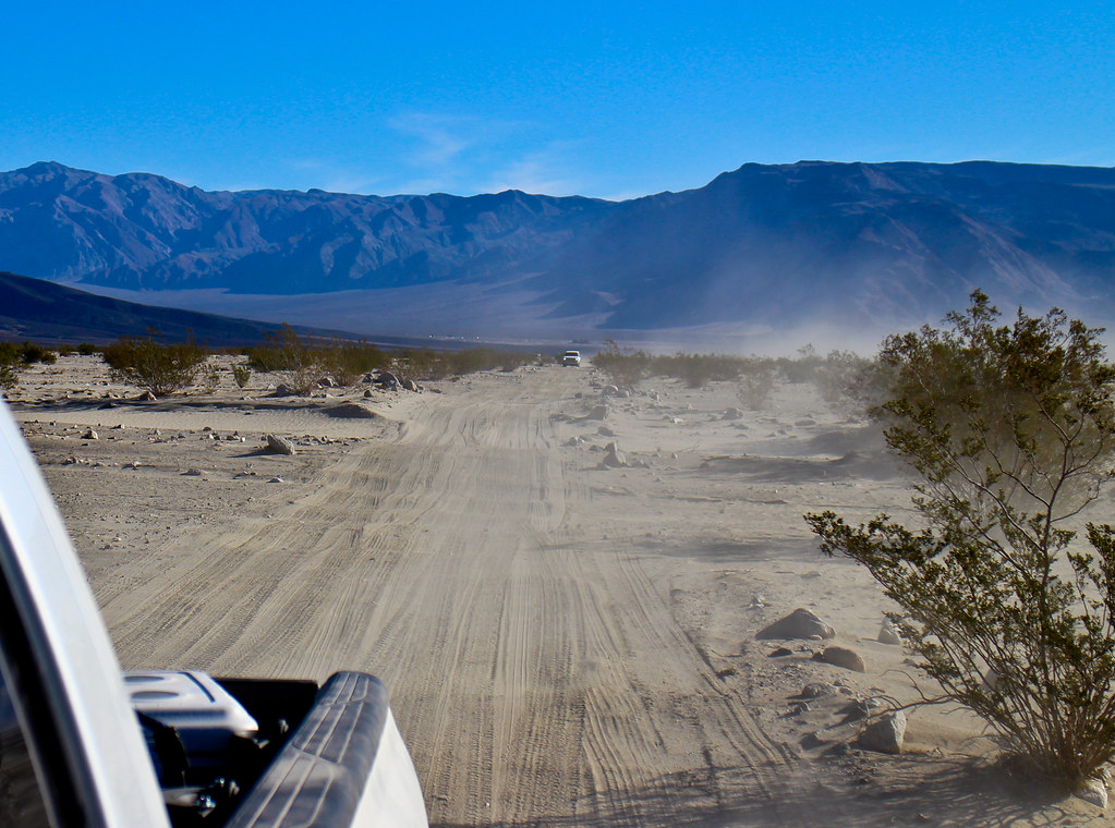
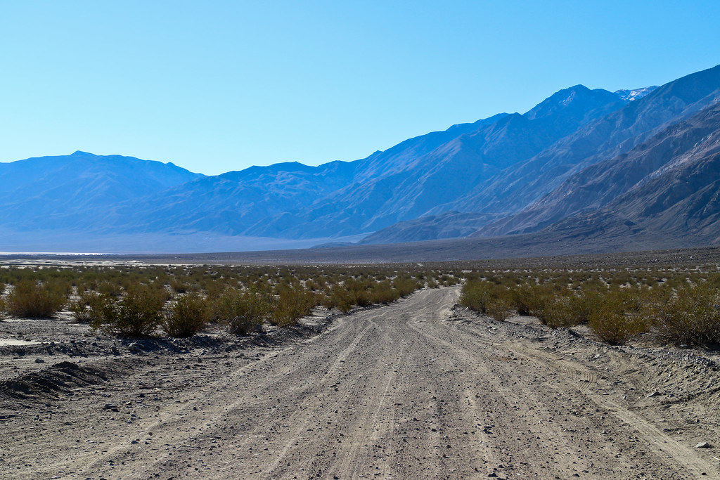
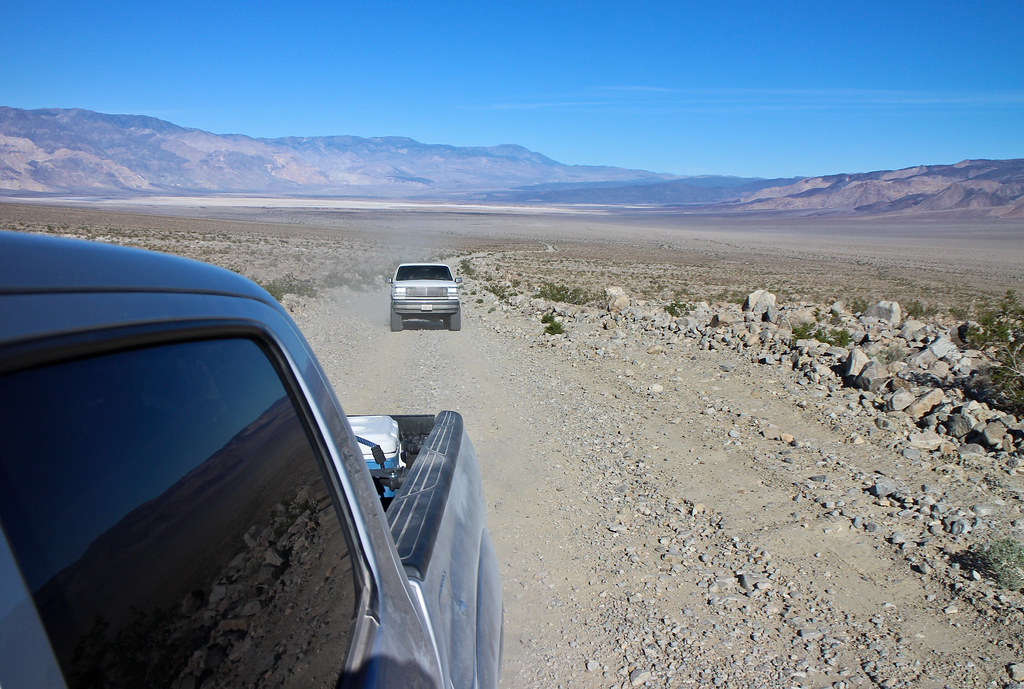
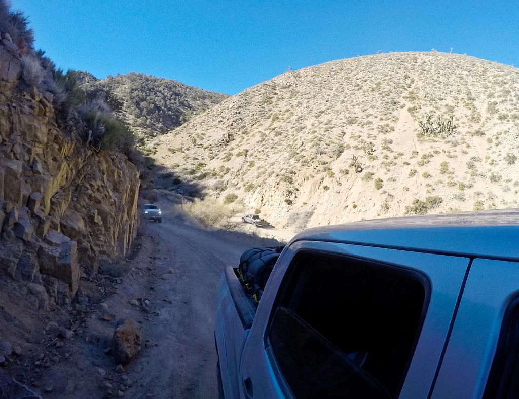
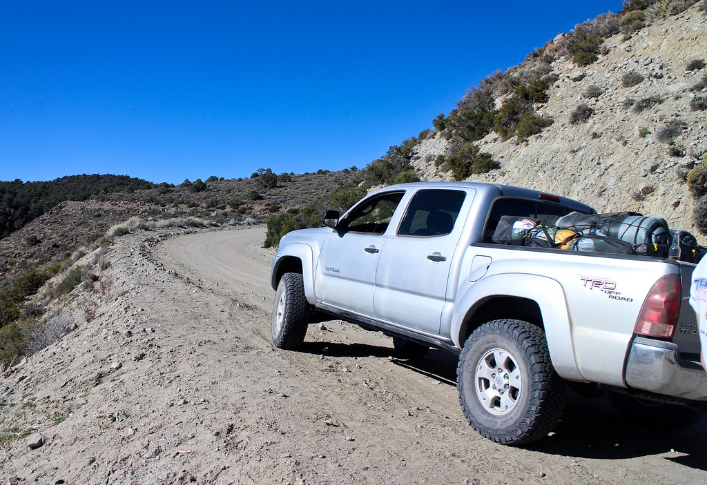
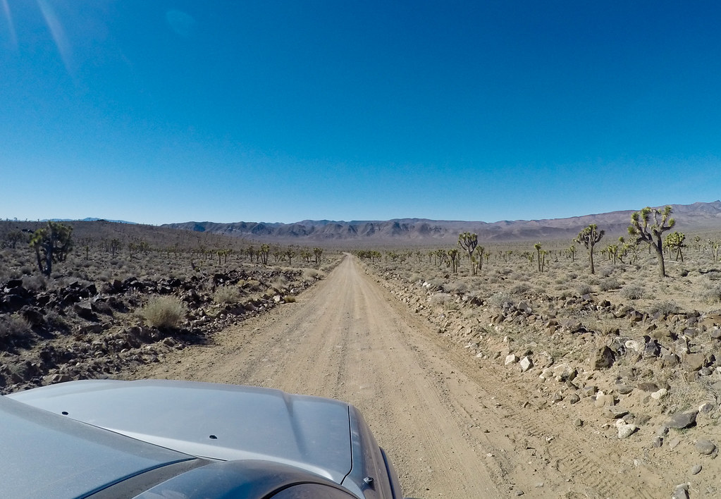
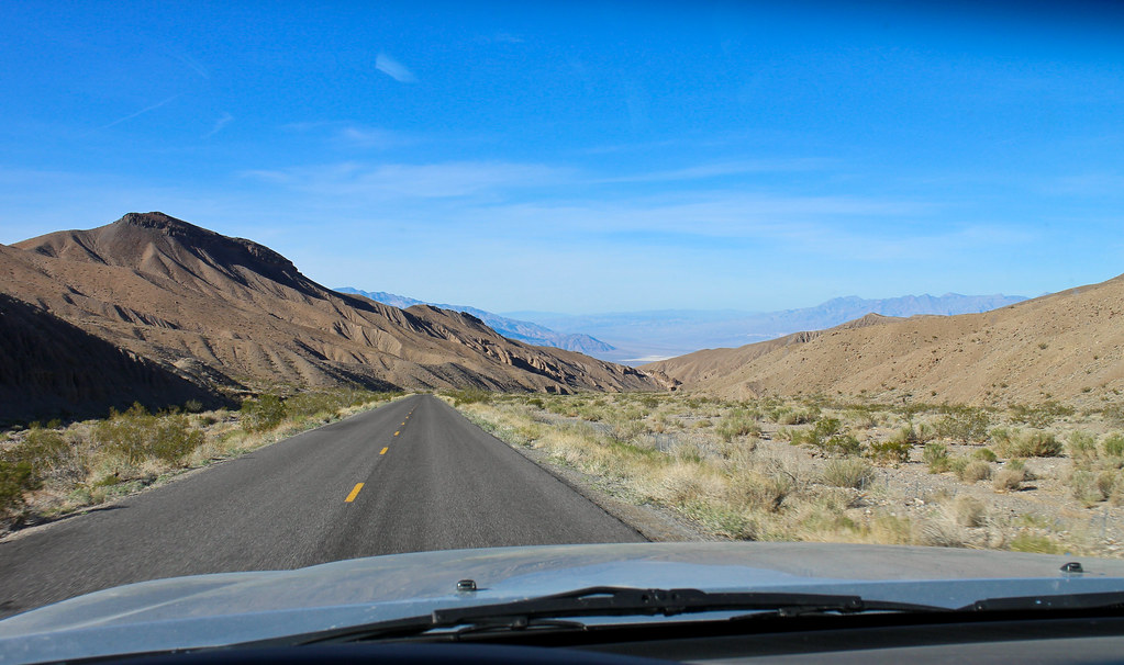
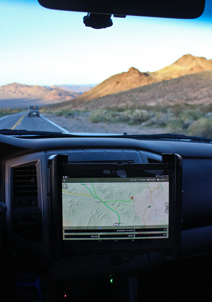
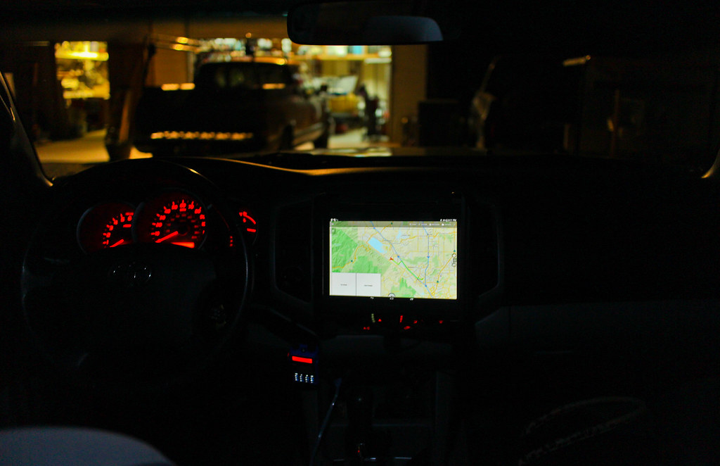
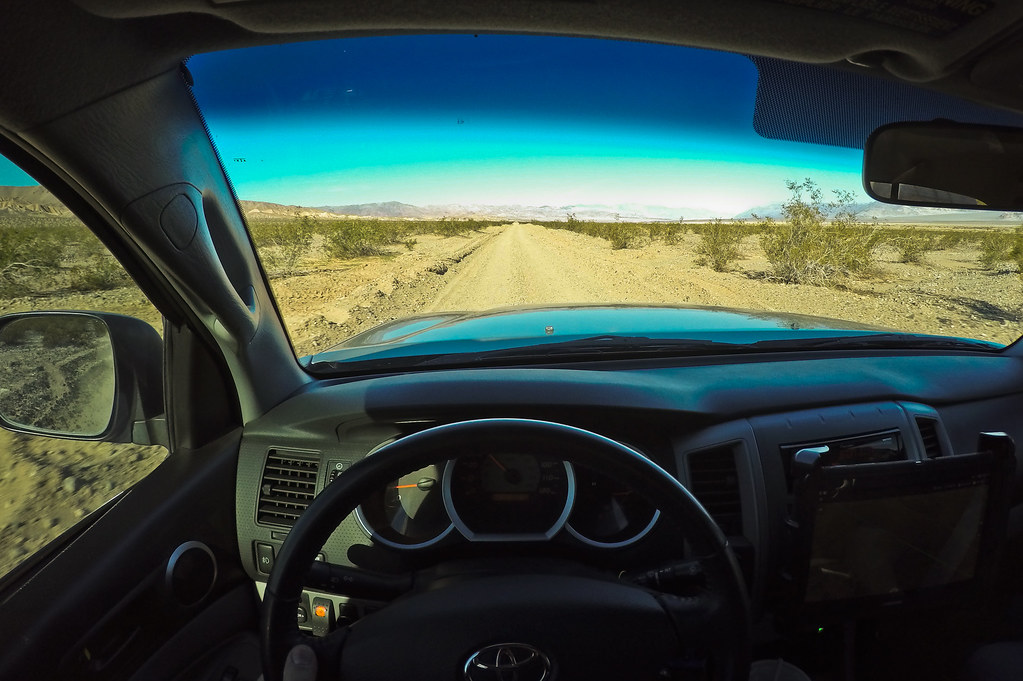
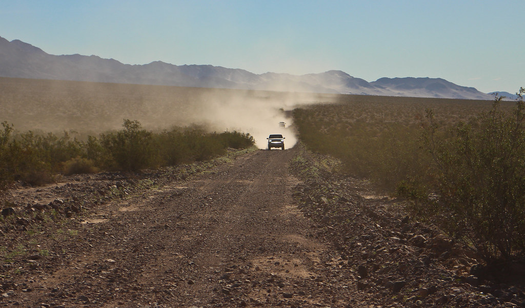
Full from eggs, hashbrowns and bacon, it was time to hit the road. With the trusty tablet and Backcountry Navigator loaded up with the routes I planned out, time to head into Death Valley via Saratoga Springs Rd.

https://flic.kr/p/rgnX84

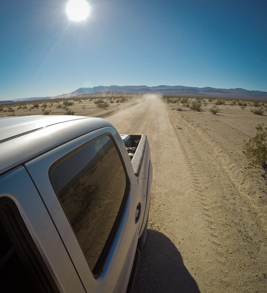
https://flic.kr/p/rgubRD

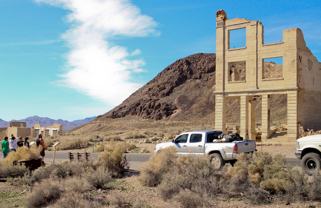
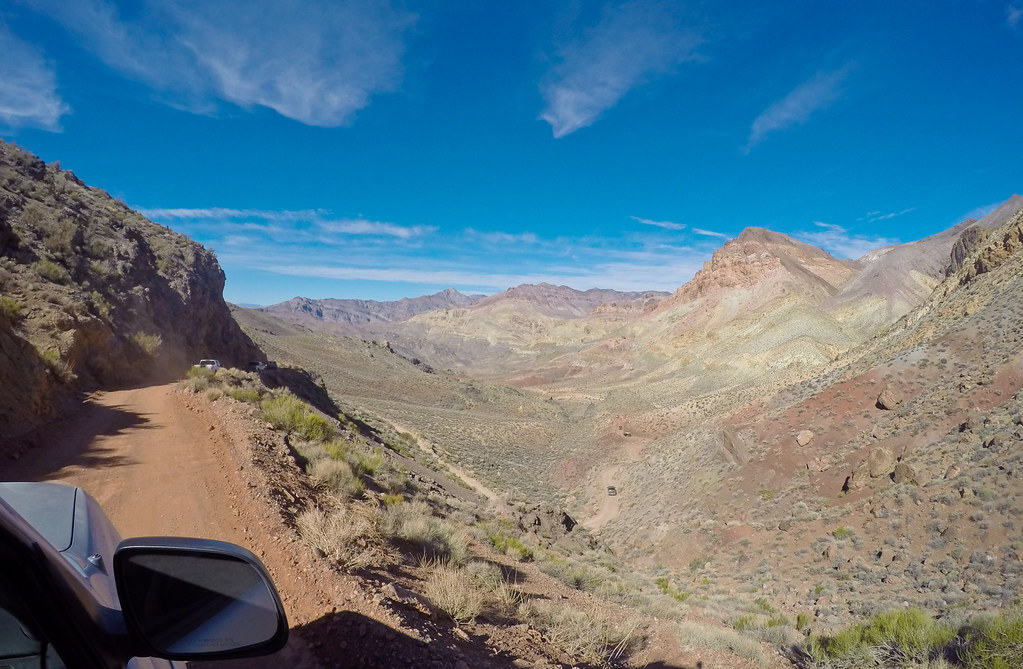
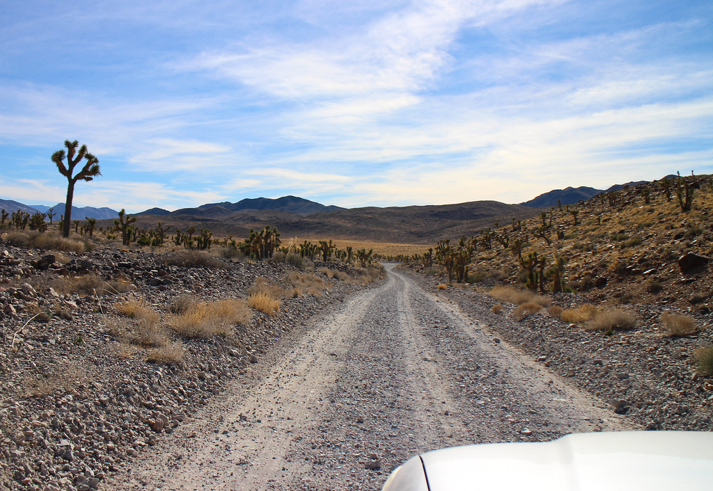
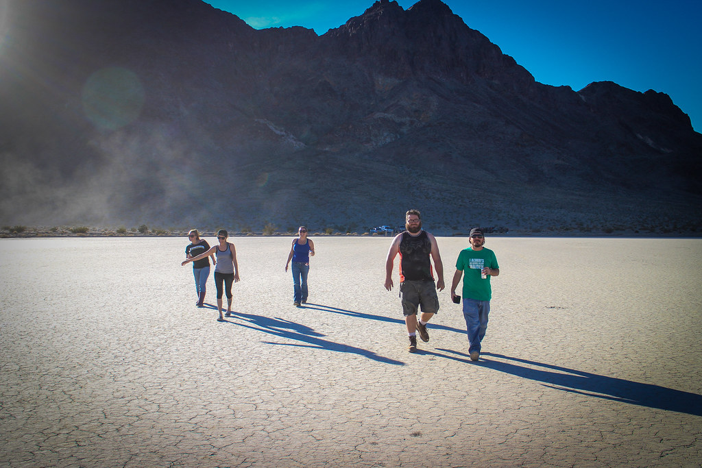
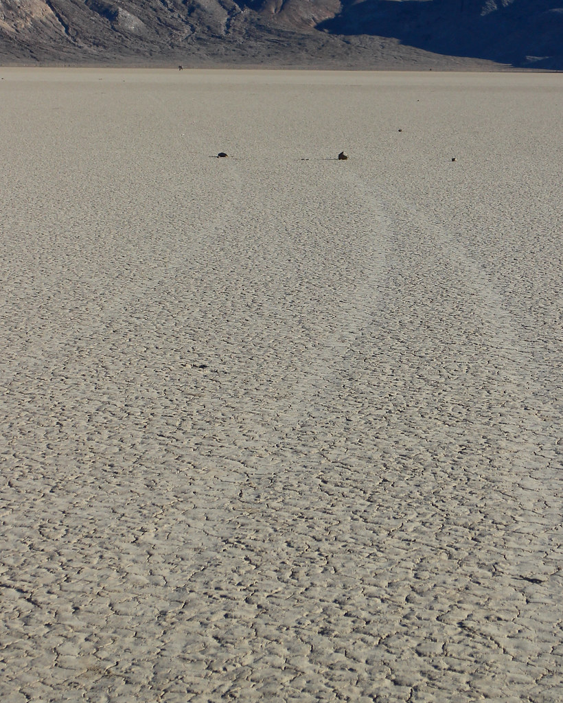
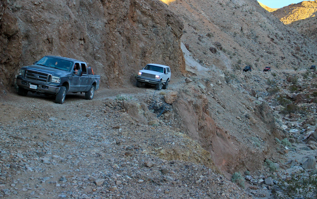
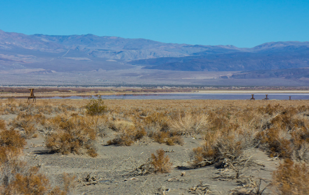
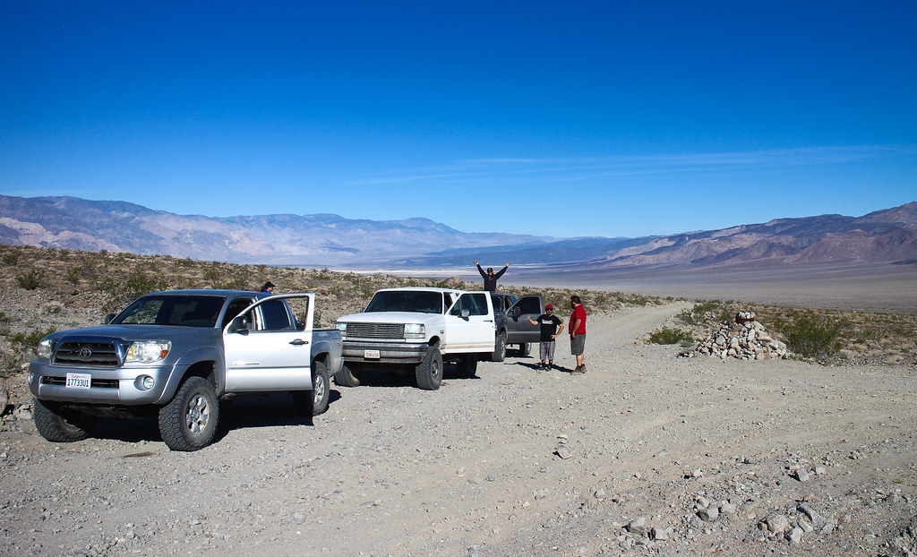
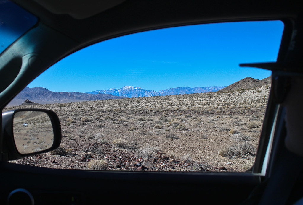
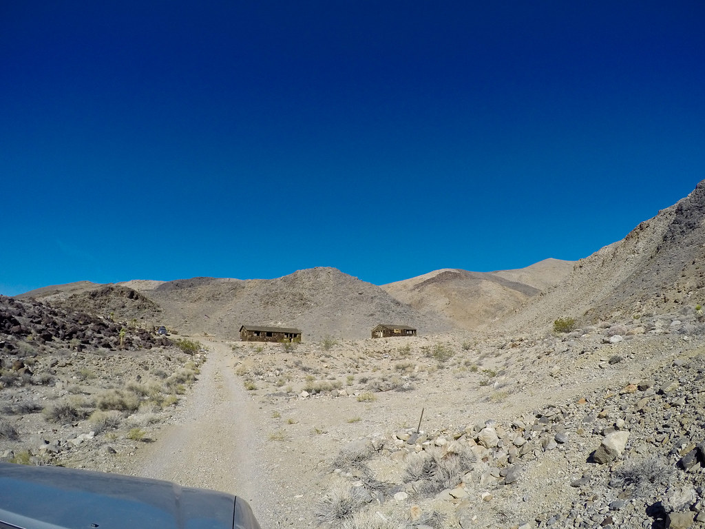
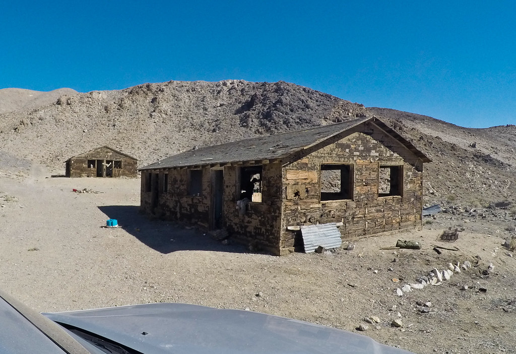
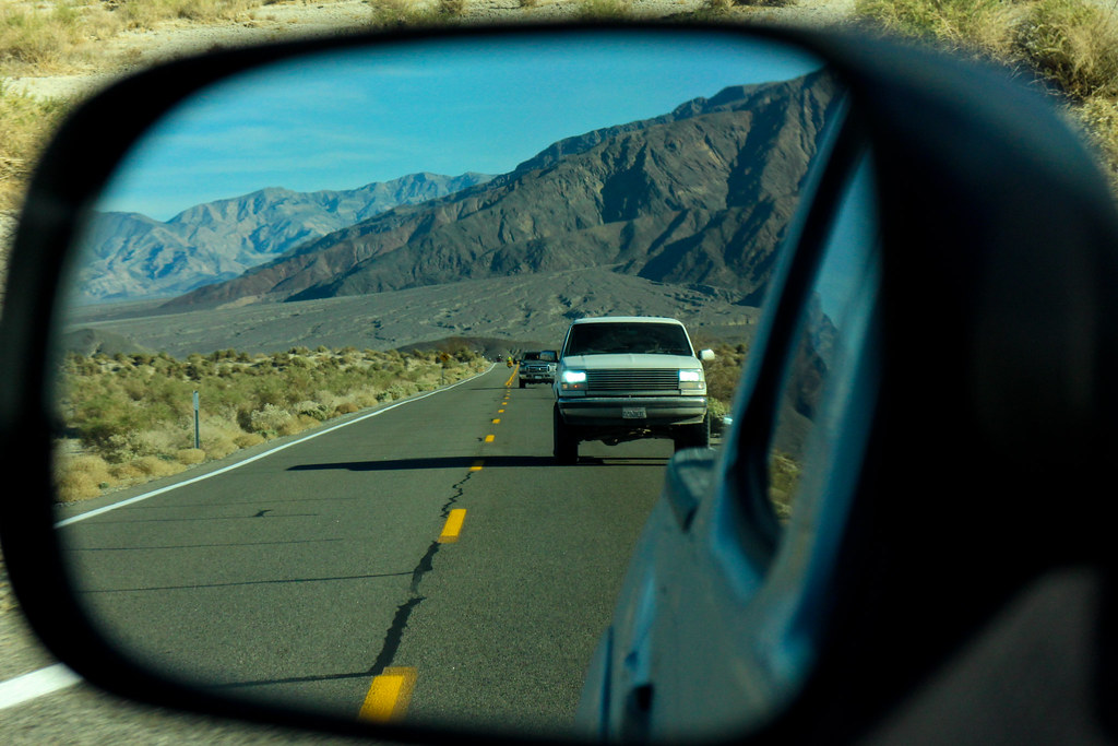
Stopped at Badwater Rd. to wait for the group before heading to the Ashford Mill Ruins, then West Side Rd.

https://flic.kr/p/rgnXE6

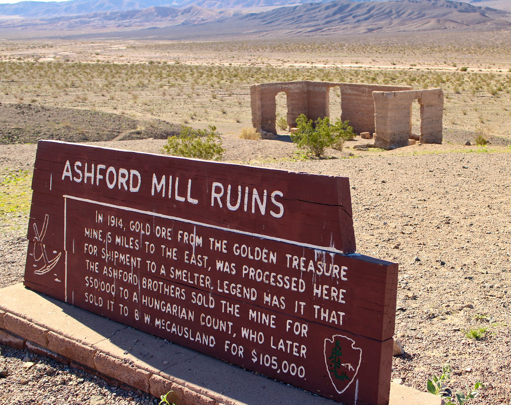
https://flic.kr/p/qjvvbb

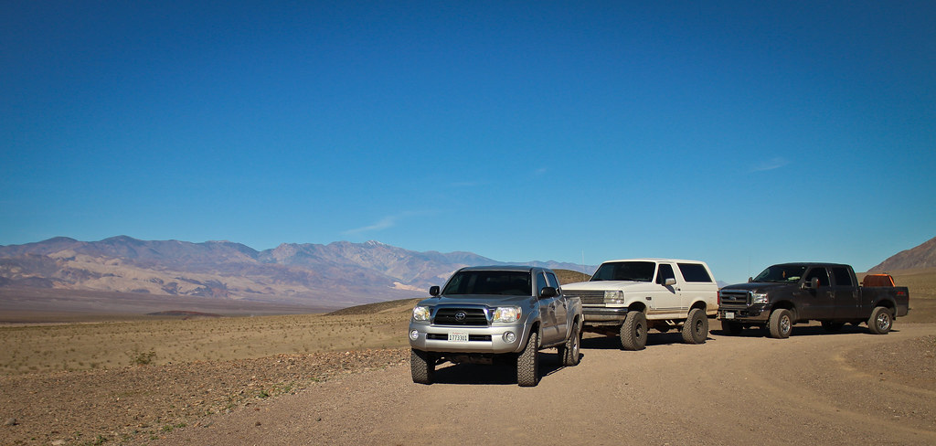
https://flic.kr/p/qYWBcL

https://flic.kr/p/qjHFVT

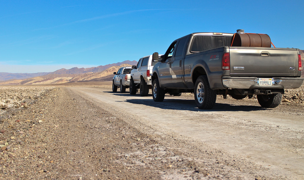
https://flic.kr/p/qjHHxv

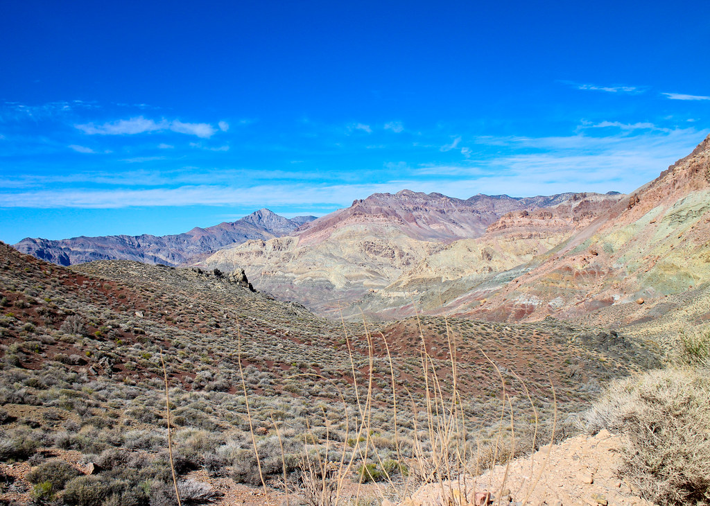
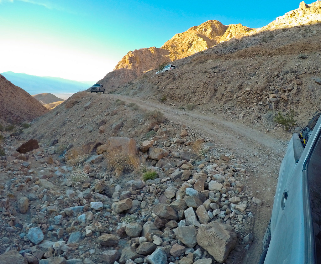
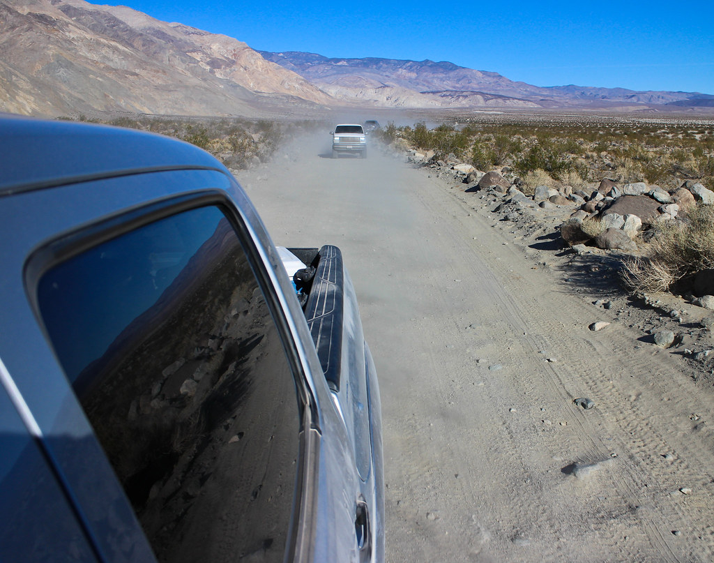
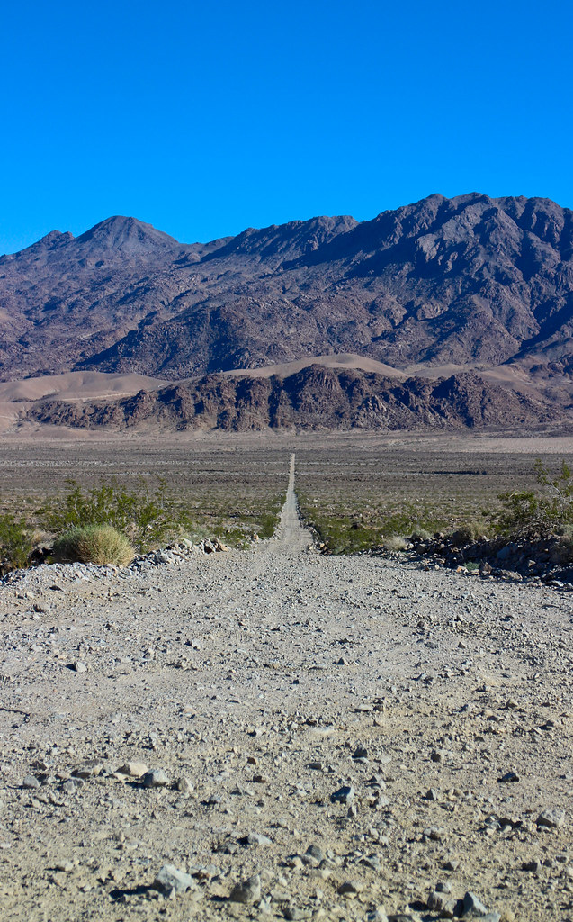
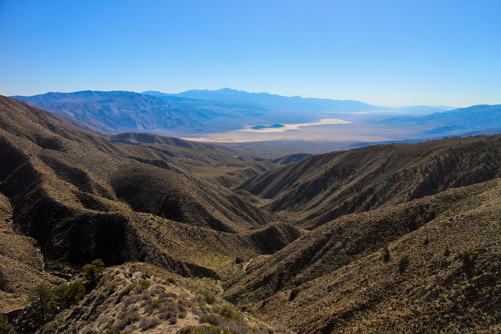
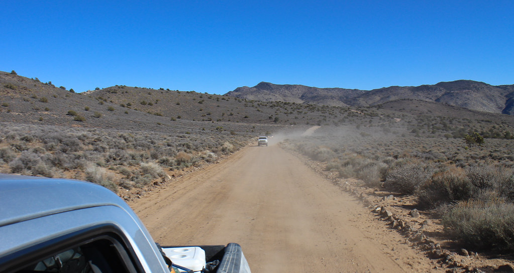
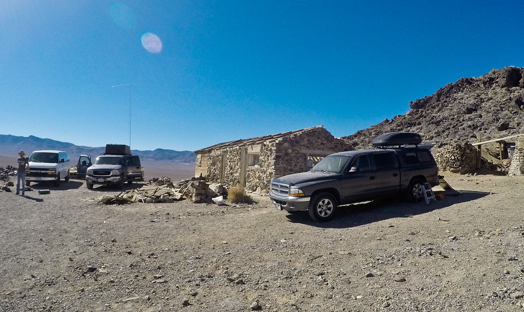
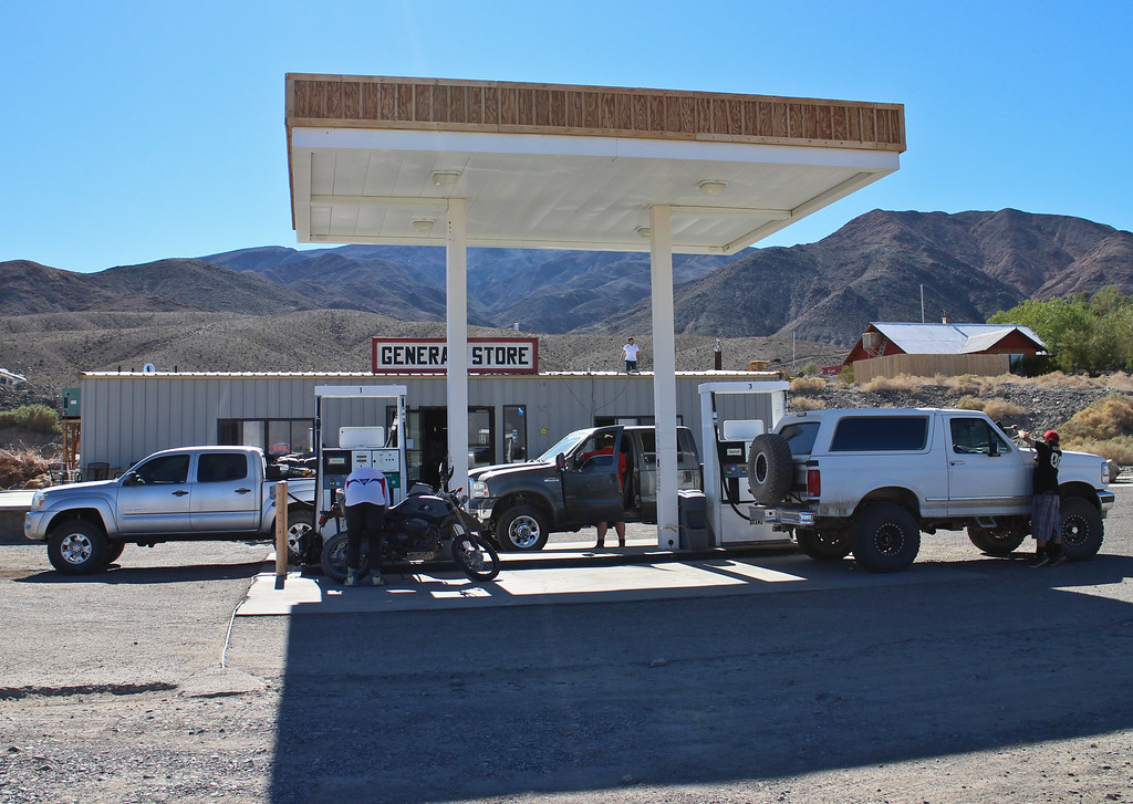
From West Side Rd, we backtracked to Artist Canyon Drive, then dropped into Furnace Creek for fuel and to take advantage of reliable cell service.

https://flic.kr/p/rgqHUA

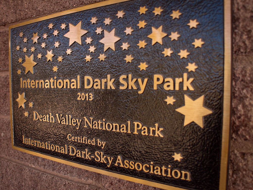
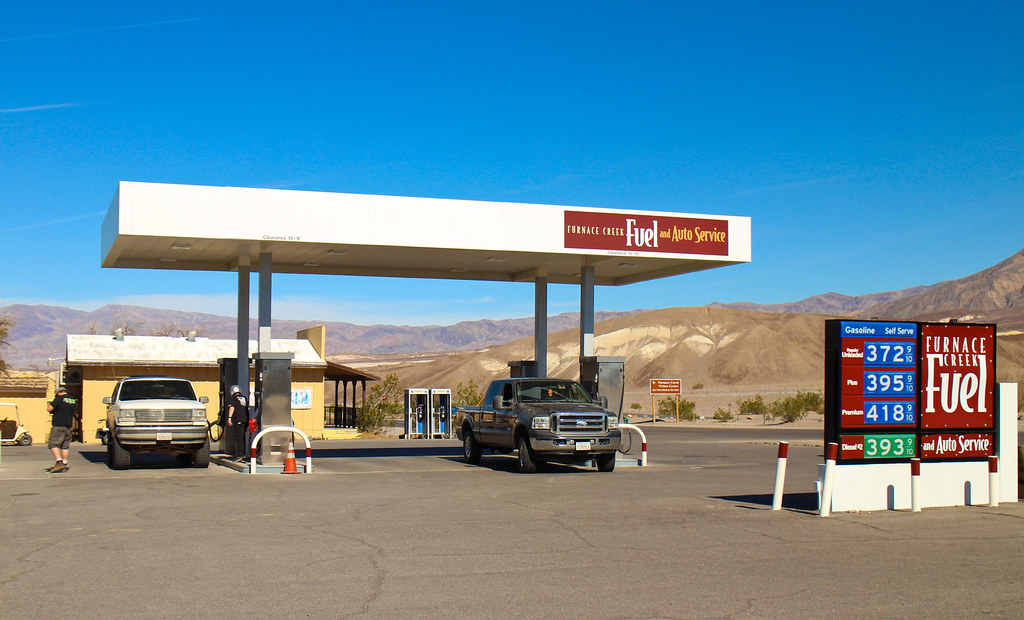
https://flic.kr/p/rgufVv

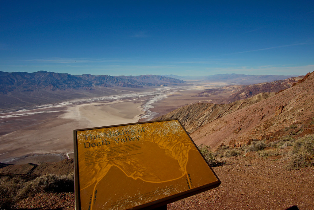
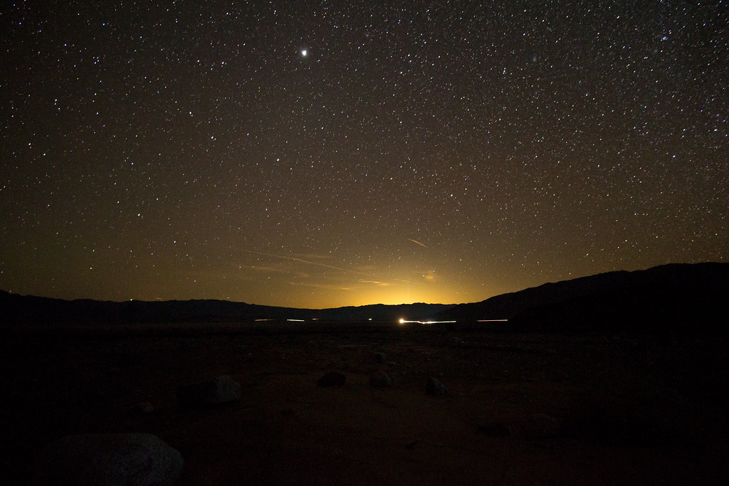
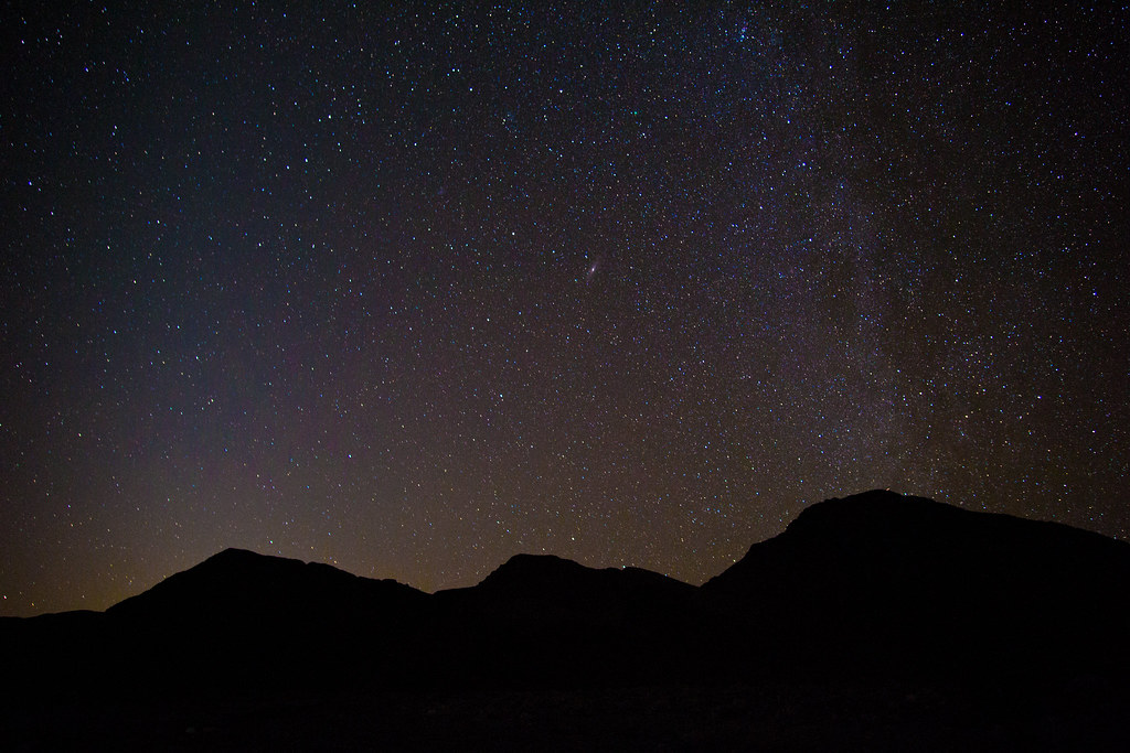
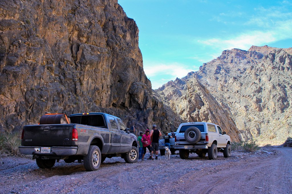
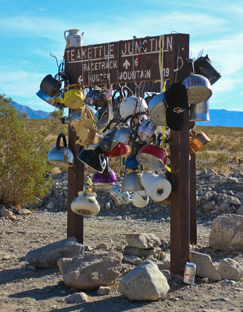
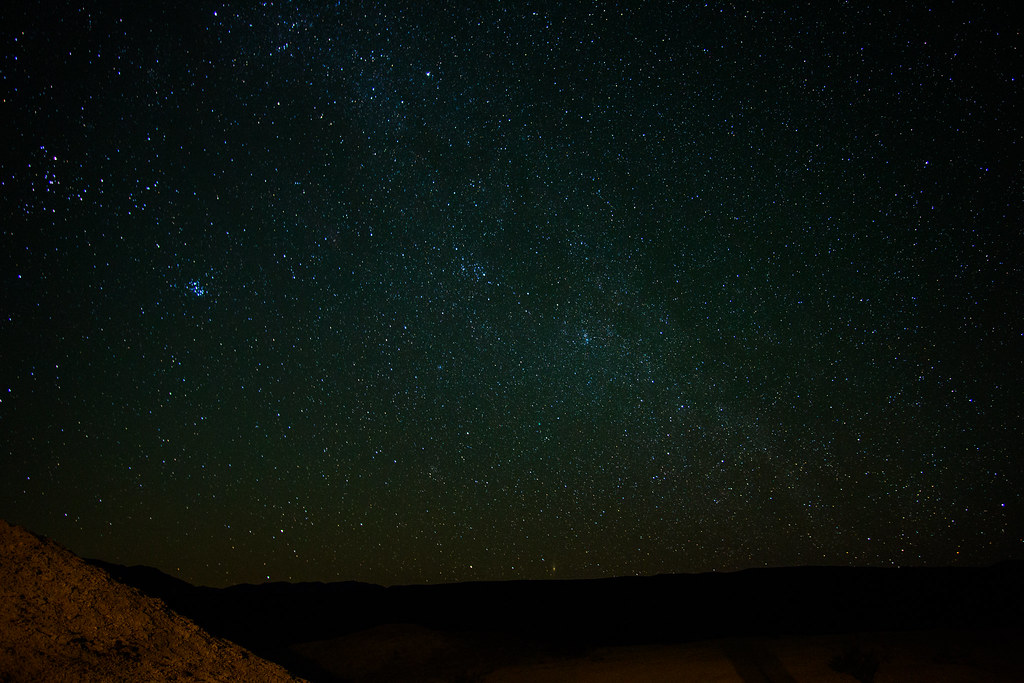
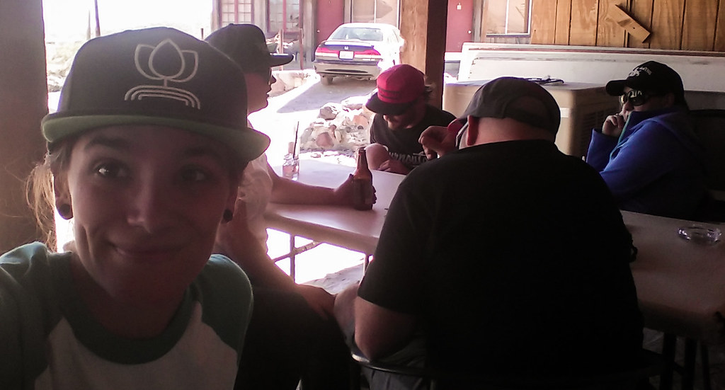
Checked out the Ranger Station as well as picked up our passes. Very excited going into this trip knowing it was recently rewarded a Dark Sky award. Wish it was summer months though for that Milky Way view!

https://flic.kr/p/rec2So
 
Last edited:

1MK

ExploreDesert
Dantes View did not disappoint. If there is one thing to take away from any of these photos, it's that they don't do Death Valley any justice. It's one of those places that has to be seen and be apart of to understand how massive and beautiful the place is.

https://flic.kr/p/qZ4sKn

https://flic.kr/p/qYXGej

https://flic.kr/p/qYWFSY

In route to Stovepipe Wells we checked out the dunes. Couldn't help but wish they were open like Glamis so we could continue our route in the sand.

https://flic.kr/p/qYXGx5

https://flic.kr/p/rgui9D

https://flic.kr/p/qZ4EnF

Camp was to be up in Cottonwood Canyon. A bit past the 8 mile mark we found a spot that was perfect.

https://flic.kr/p/rgo4RK

https://flic.kr/p/qZ4DZ6

https://flic.kr/p/rekM8f

Log Hog cookin'!

https://flic.kr/p/qjvBsj

https://flic.kr/p/rgo5Fa

https://flic.kr/p/qjHMhp

https://flic.kr/p/rgujWr
 
Last edited:

1MK

ExploreDesert
Woke early on Saturday, knowing that we had a full day ahead of us.

https://flic.kr/p/rgqNdf

https://flic.kr/p/rec6nj

Into Beatty for gas and supplies

https://flic.kr/p/qjvCQQ

The command center

https://flic.kr/p/qYXKhy

Ryholite and the art museum

https://flic.kr/p/rgqPaf

https://flic.kr/p/qYWL8G

https://flic.kr/p/rgunWe

https://flic.kr/p/qYWM1y

And off to Titan Canyon

https://flic.kr/p/rgo7k2

https://flic.kr/p/rgu9q6

https://flic.kr/p/qYWKPf

https://flic.kr/p/qjHSyg

https://flic.kr/p/qjHSTV

https://flic.kr/p/qZ4MHx

Quick stop by Scotty's Castle, then Ubehebe Crater before finally getting out of the rat race.

https://flic.kr/p/rgqVxA

https://flic.kr/p/qjHVJV

Even though the road from Ubehebe to the race track is brutal in areas, it was nice to be in the dirt again and offers great views.

https://flic.kr/p/rgodRP

https://flic.kr/p/qjHWoa

Stopped at Teakettle Junction to add our own, have lunch and relax a few after a long and brutal drive to keep within our time frame. Goal was to make it down Lippincott before the sunset.

https://flic.kr/p/qYWUpm

https://flic.kr/p/qYXU1f
 
Last edited:

1MK

ExploreDesert
The view dropping into the Racetrack was awesome. Been to quite a few dry lake beds, but not one this pristine and with a "grandstand" within.

https://flic.kr/p/qYWUVS

https://flic.kr/p/rguzyx

https://flic.kr/p/qjJ6fZ

Chris wondering why we came all this way to look at rocks.
https://flic.kr/p/recqYo

https://flic.kr/p/rguGv8

And off to Lippincott. Normally this wouldn't be any kind of a worry, but we were unsure of the wheelbase on the Superduty combined with some of the tighter sections. We put my Tacoma in front, and the Bronco in the back in the event we needed to use straps or things got sketchy. Turns out, it did just fine with room to spare. The road was in good shape considering it isn't maintained. What a fun drive and epic views into Saline Valley!

https://flic.kr/p/rguHHP

https://flic.kr/p/qjvQnh

https://flic.kr/p/qYX2SN

https://flic.kr/p/qZ4SXv

https://flic.kr/p/qYXXys

https://flic.kr/p/qjw62s

Perfect timing! Dropping into the valley floor as the sun set. Destination for tonight's camp was the Hot Springs.

https://flic.kr/p/rguNct

https://flic.kr/p/qYXcyb

Heading down Saline Valley Rd we saw a van on the side of the road. Stopped to make sure everyone was ok and if they needed anything. Ended picking up a nail and had a flat. Let them use our patch kit and air compressor, and about 15 minutes later they were back in business. Leaving the springs Sunday morning, we saw the van again, this time with what looked like a busted balljoint. Made sure they were ok and had help coming before continuing on our way.

https://flic.kr/p/rgrgRS

https://flic.kr/p/rgoyLD

https://flic.kr/p/qjJgWi
 
Last edited:

1MK

ExploreDesert
We arrived at the hot springs a little after dark. The road leading into the place was a piece of paradise after miles of washboard and rock sections. Sandy wash with small, nicely spaced whoops made for a killer way to end the days journey. Driving into the springs at night was a bit confusing, it took us a while to decide what to do and where to camp, it was after all Valentines weekend at a clothing optional retreat. There was an abundance of nudity. Nothing says you've made it to the hippy hole like a group jumping out of the bushes in front of your vehicle to show full spread of things you don't entirely want to see.

We were tired. Set up camp, the girls made a killer dinner, and we wasted away around log hog while staring off into the stars. Bed was calling.


GOOD MORNING!!! I think we all slept pretty good once the rave music quit. Woke up to yet another epic scenic landscape. Thankfully, nudity was reserved during the day. Packed up camp for the last time this trip and heading down to the springs during the day to check them out. Obviously, cameras are frowned upon, and didn't realize that until I received a couple "what the f*!k are you doing" looks. Haha.


Airstrip for people to fly in, soak and take back to the skies. This sparked a flame for working on my pilots license...


The hotsprings has also became home to a family of "dunkies". Around the area you'll see them just hanging out in people camps, and guess they've recently had some little **************'.


"We can't stop here, this is bat country"


Near these dunes was a tramway in the early 1900's they used to haul salt over the mountain range with cable cars. Some of the wooden structures are still there and amazing to think how much work went into it, even with today's technology.


Heading out of Saline Valley, up into Lee Flatts.


Lippincott Pass, where we came down from the night prior.


Gaining some elevation, quick style.


Then ended up at this epicness.


1MK

ExploreDesert
Stopped to take another break and take in the view, some more then others....


W.H.Y.L.H.B.L?


Time to carry on into Lee Flats


Much fun was had here with a view to boot.


Coming up to the highway, we saw a set of cabins and mine structure in the distance. Decided to check it out. As we got closer to the cabins, saw people starting to move rapidly, it almost appeared they were either living there, or using it as a grow/lab spot. They offered us a tour, but we decided to GTFO.


Hit the highway and back to Panamint Springs for food, a beer and to top off with some cheap gas.


How we all felt at this point...


After our stop, it was off to check out Arguereberry Camp and the Eureka mine.


Someone had removed one of the barrier bars, better go check it out!


1MK

ExploreDesert


After this stop, it was time to head back to reality. Route from this point changed a bit, and decided to backtrack into Baker.


You can't just drive by it.....


Awesome time. Had a desert hangover all week. Thankfully we have some more goodness coming up.

Until next time!


Trip Stats:

Mileage: 1127 Miles

Moving Time: 24.3 Hours

Lowest Elevation: -280 Ft

Highest Elevation: 6200 Ft

Total Elevation Gain: 49,926 Ft
 

AA1PR

Disabled Explorer
such an excellent read & adored all the pics

glad to see you helping others out, karma...
 

Rusty762

Adventurer
Great read guys, I have been out there many times and love the area. Its also great to see you helping out other people thats what its all about.
 

metalryder

New member
So whats up with the gas prices? Just because of the remote location they charge what they want to?

With those prices I think I'd pack a few MFC's full of $2.19 gas.
 

Kmrtnsn

Explorer
So whats up with the gas prices? Just because of the remote location they charge what they want to?

With those prices I think I'd pack a few MFC's full of $2.19 gas.

The nearest fuel terminal is well over 100 miles away, think about how much trucking fuel that far adds to cost.
 

Forum statistics

Threads
185,914
Messages
2,879,565
Members
225,497
Latest member
WonaWarrior
Top