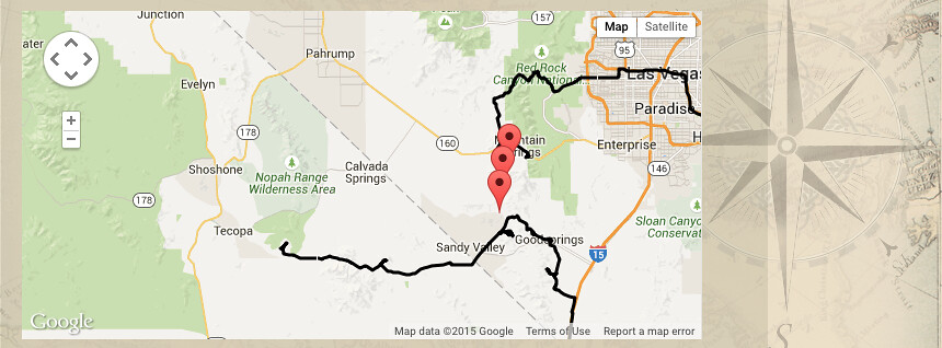
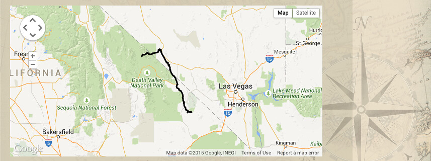
Leg 11 – Death Valley, Shoshone to Echo Canyon and Inyo Mine
Once a 100 mile, 600 foot deep lake. Now the hottest, driest, lowest place in North America, only 85 miles from the highest peak in the contiguous US, at 14,505. We timed our exploration to avoid summer 120-degree temperatures.
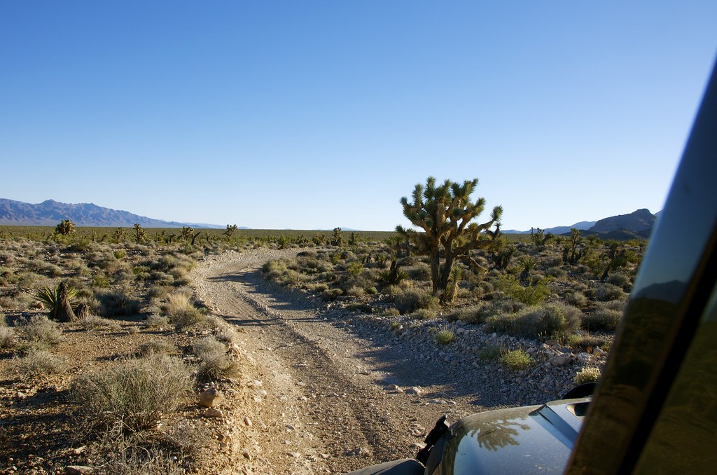
This leg enters Death Valley via Shoshone, a stop on the Tonopah and Tidewater Railway, until the line closed in 1940. Highway 127 follows the old mainline that intersects with old mining spurs and Borax 20 Mule Train trails. As always, it’s important to stay on trails open to the public. The Shoshone Sheriffs office seems particularly vigilant in this region and proudly post photos of off-roader fined or jailed for not doing so to discourage others. Open trails such as Echo Canyon to Lees Camp provide lots of interest for overlanders.
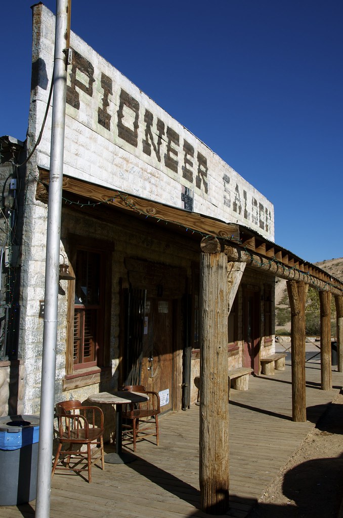
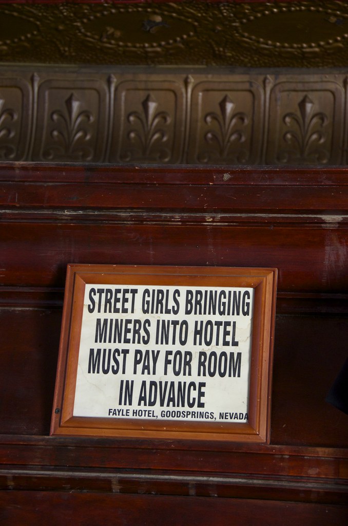
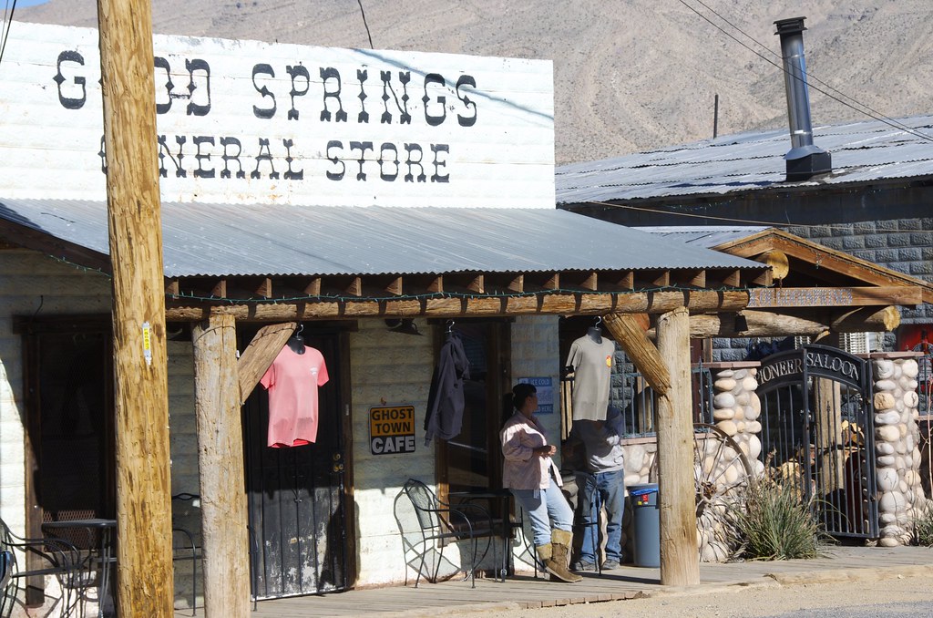
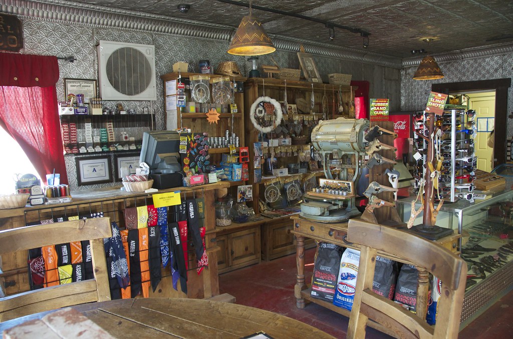
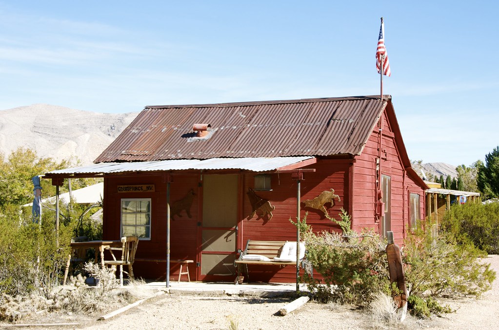
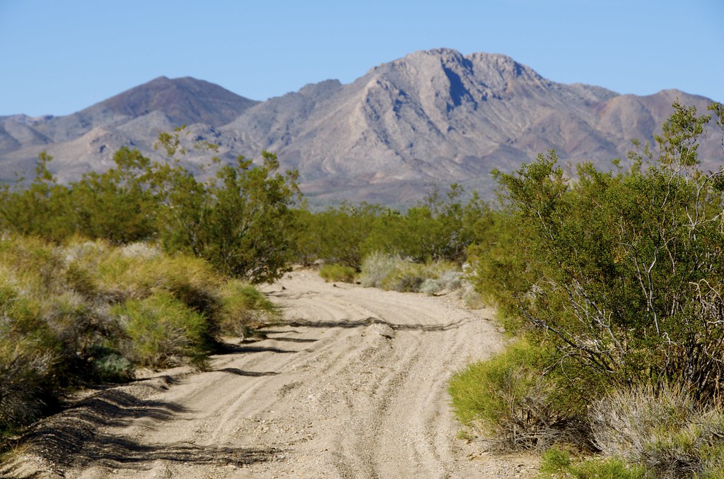
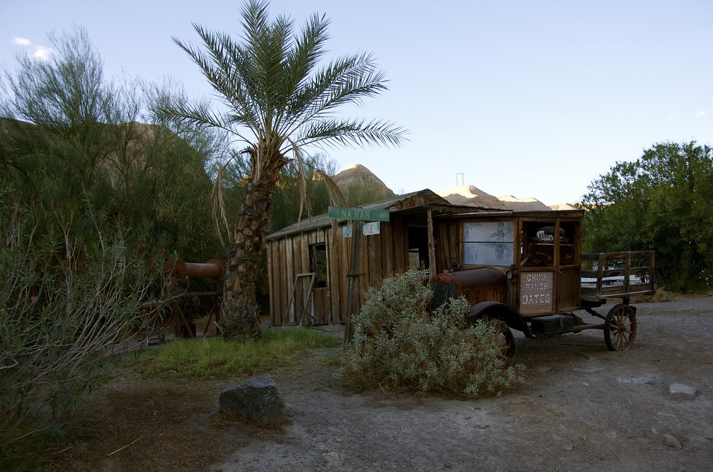
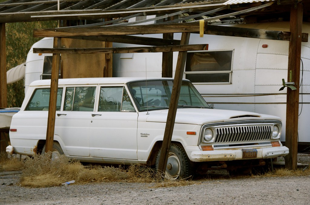
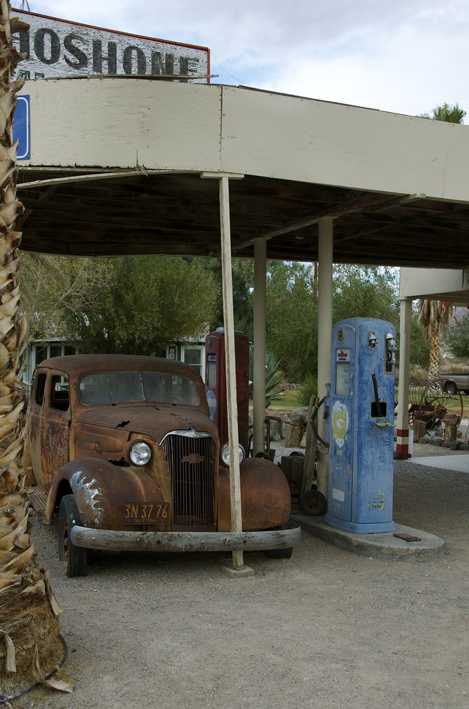 Shoshone, CA
 by
Overland Frontier, on Flickr
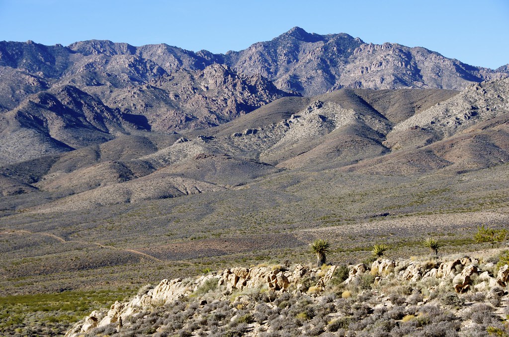
 Shoshone, CA
 by
Overland Frontier, on Flickr
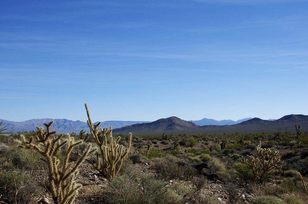
 Shoshone, CA
 by
Overland Frontier, on Flickr
Shoshone locals pointed us in the right direction to check out the Dublin Gulch Caves that were etched out of from 600 thousand year old volcanic ash, said to be from a Lava Flow originating from Yellowstone National Park. Miners from the Noonday mine constructed the caves during the 1870 silver boom. Various squatters continued to use them until the 1970’s.
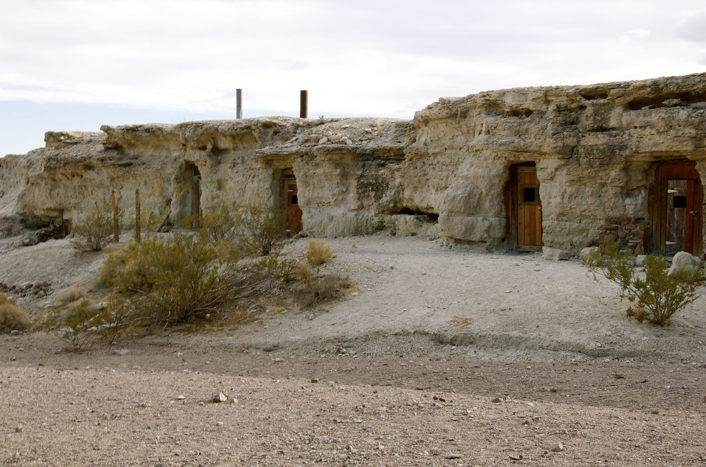 Dublin Gulch Caves
 by
Overland Frontier, on Flickr
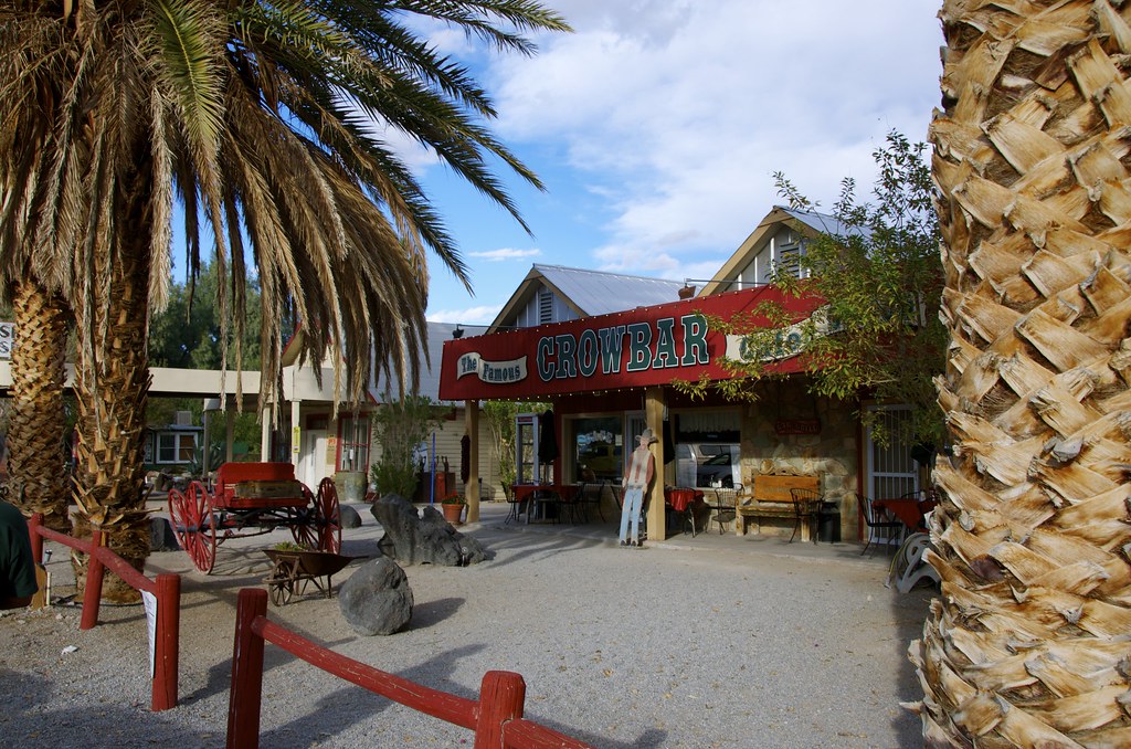
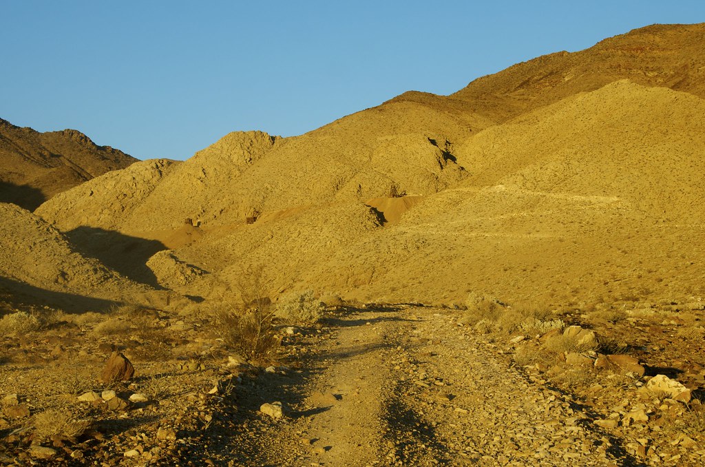
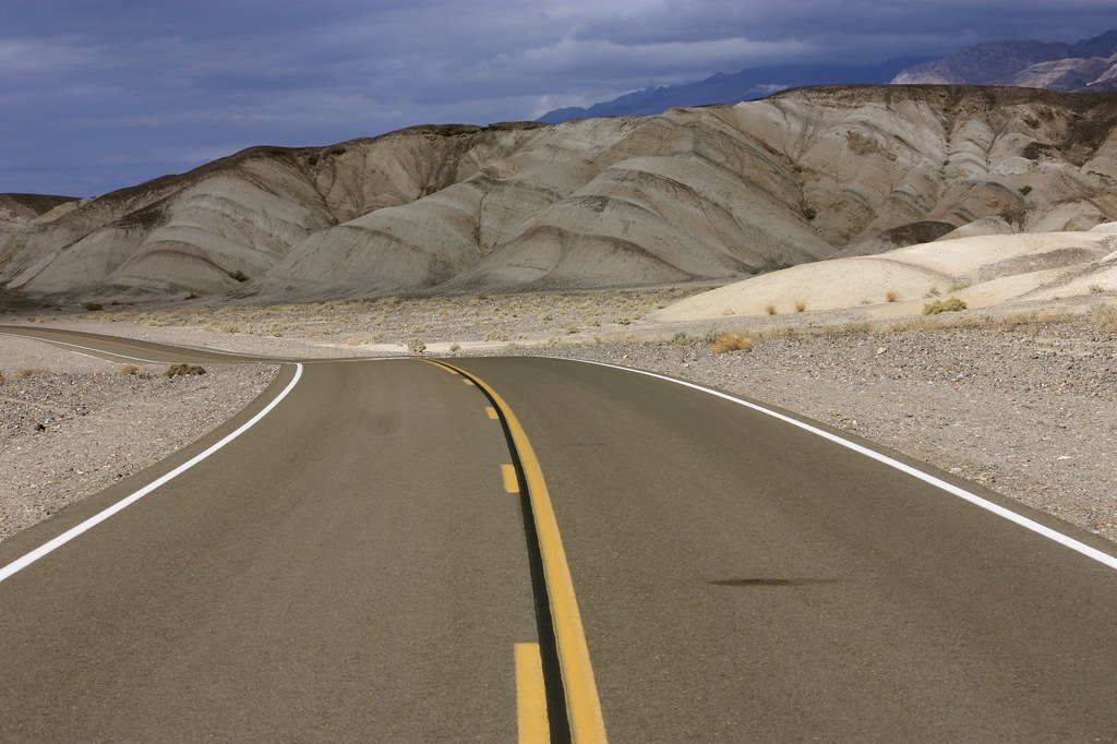 Byway to Death Valley Junction
 by
Overland Frontier, on Flickr
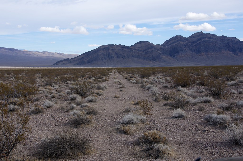
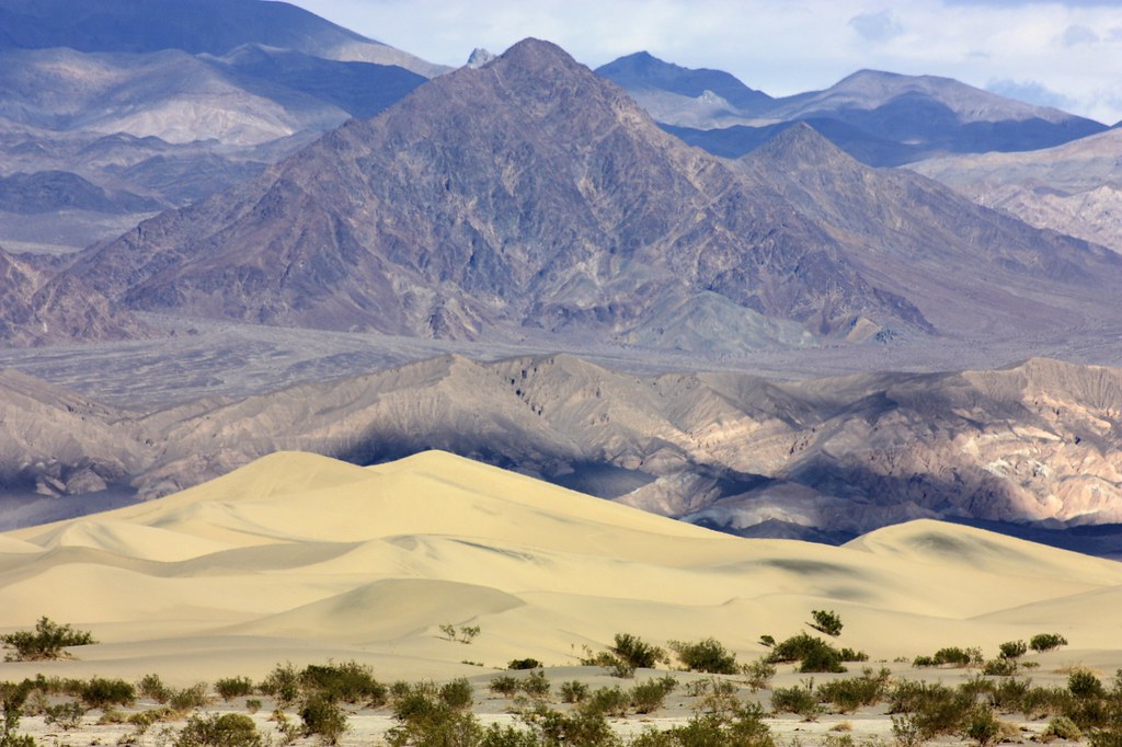 Dunes Near Death Valley Junction
 by
Overland Frontier, on Flickr
The Borax King, Francis Marion Smith, staked a claim on marsh in Death Valley, in 1872. He and his brother shipped their product, 30 tons at a time, using two large wagons and a third for food and water for the skinner and is 24-mule team. Initially, the team traveled 160 miles (260km) over the Great basin Desert, to Wadsworth, Nevada and the Central Pacific Railroad. Using old maps as guide, the impact left by mule trains can still be traced across the desert.
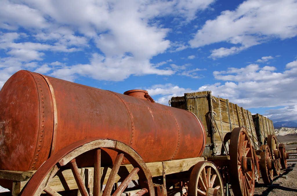
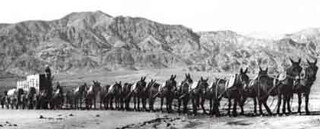 20 Mule Train in Death Valley
 by
Overland Frontier, on Flickr
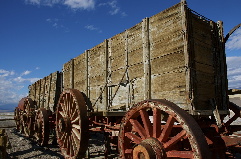 20 Mule Borax Train
 by
Overland Frontier[, on Flickr
 Abandoned 20 Mule Borax Train Trail
 by
Overland Frontier, on Flickr
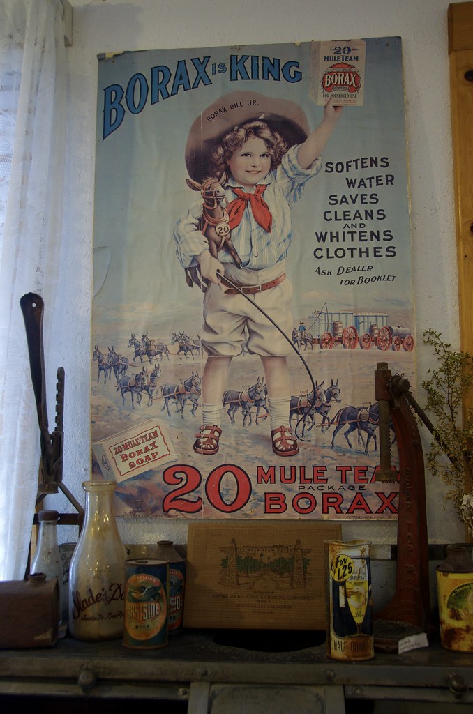 20 Mule Borax Train Soap Ad
 by
Overland Frontier, on Flickr
 20 Mule Borax Train
 by
Overland Frontier], on Flickr
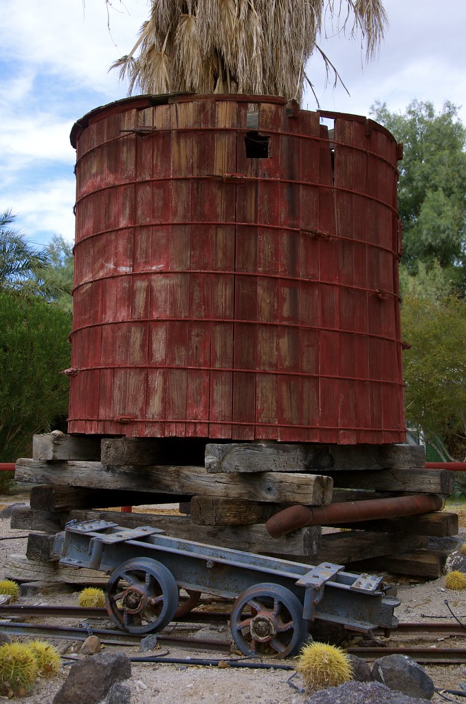
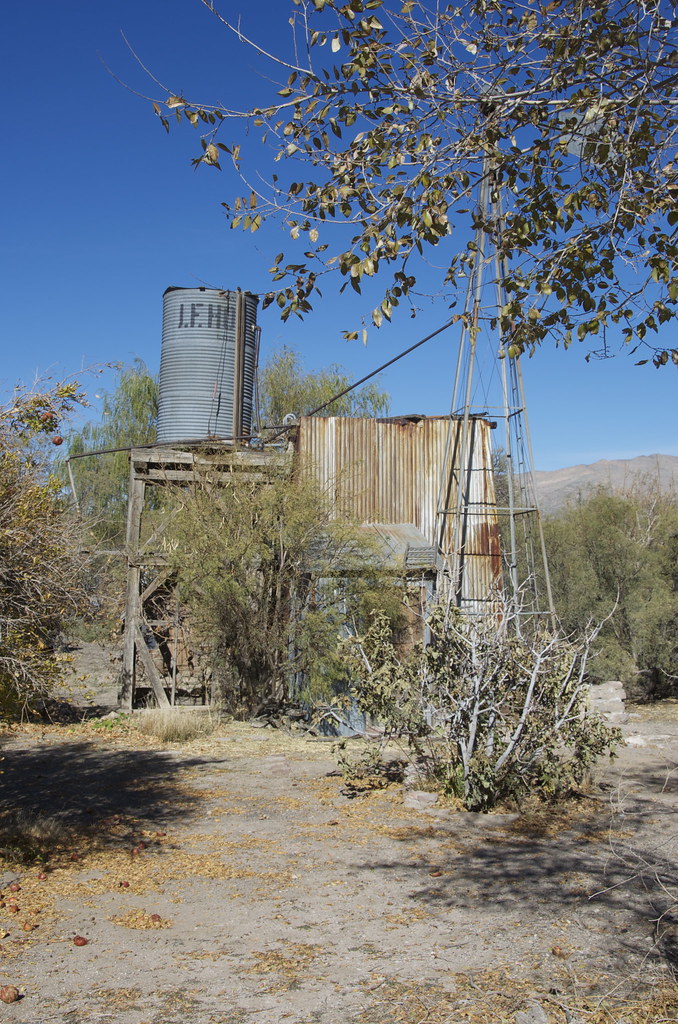
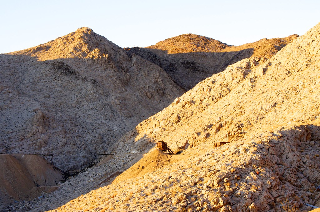
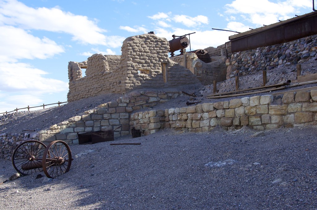 Borax Mine
 by
Overland Frontier, on Flickr
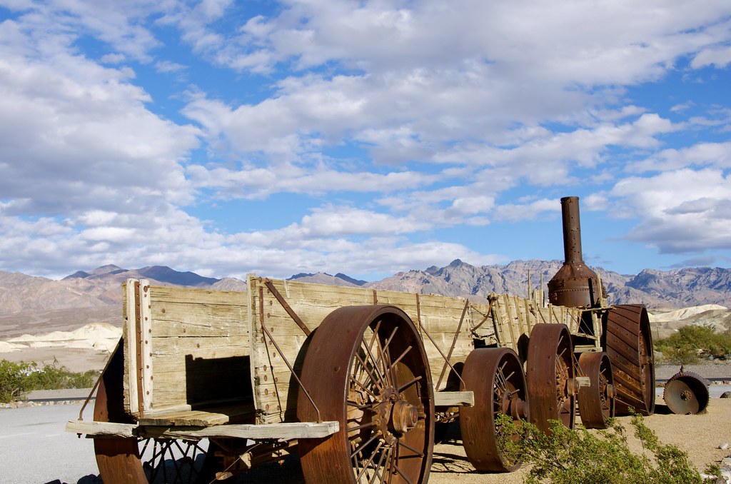 Borax Steam Engine
 by
Overland Frontier, on Flickr
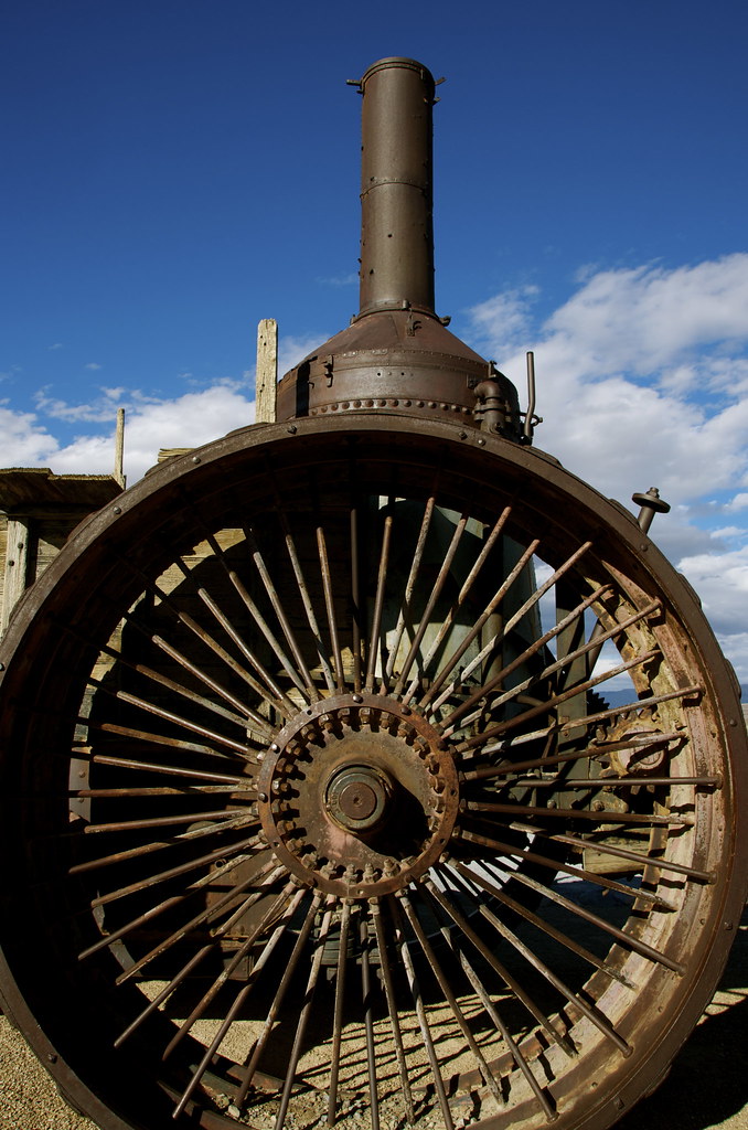 Borax Steam Engine
 by
Overland Frontier, on Flickr
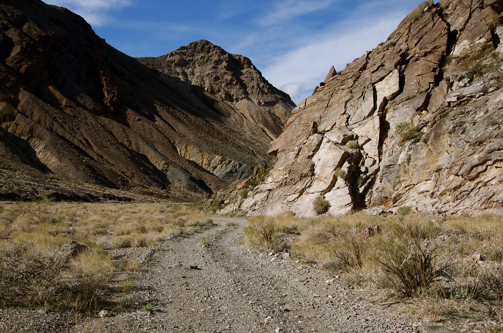
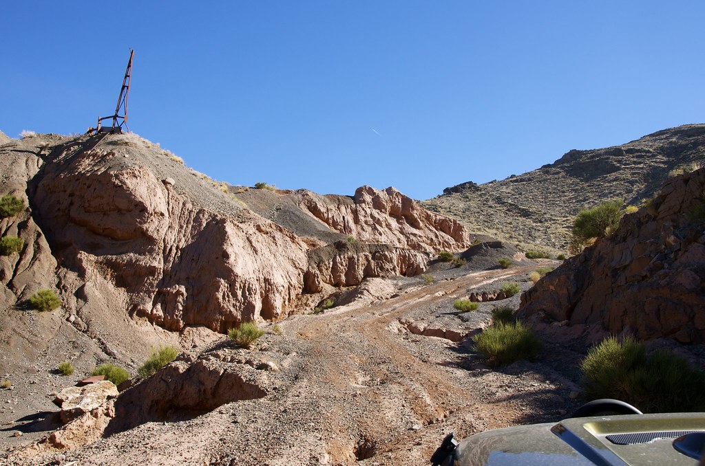
Just south of Furnace Creek, we explored a trail into Echo Canyon blazed in 1905 after gold was discovered by Maroni Hicks and Chet Leavitt. Pertroglyphs near the mouth of the canyon show that prehistoric natives were drawn to the region for thousands of years. The Death Valley Wilderness route travels to Lees Camp, with a side trip to Inyo Mine and onward, on the abandoned railway.
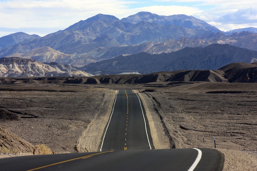 Death Valley Byway
 by
Overland Frontier, on Flickr
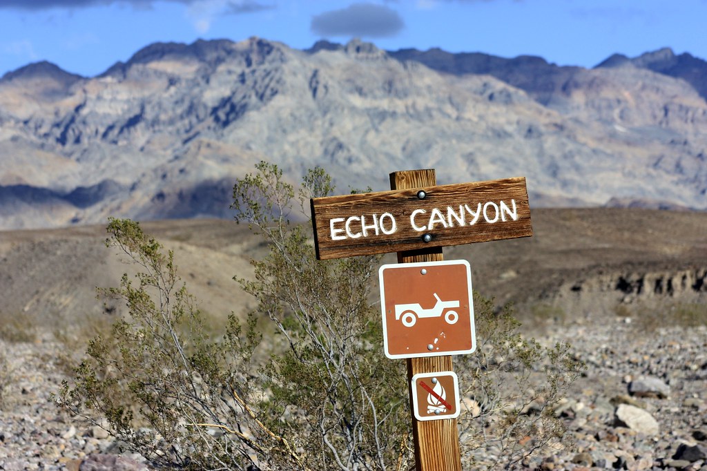 Echo Canyon Gateway
 by
Overland Frontier, on Flickr
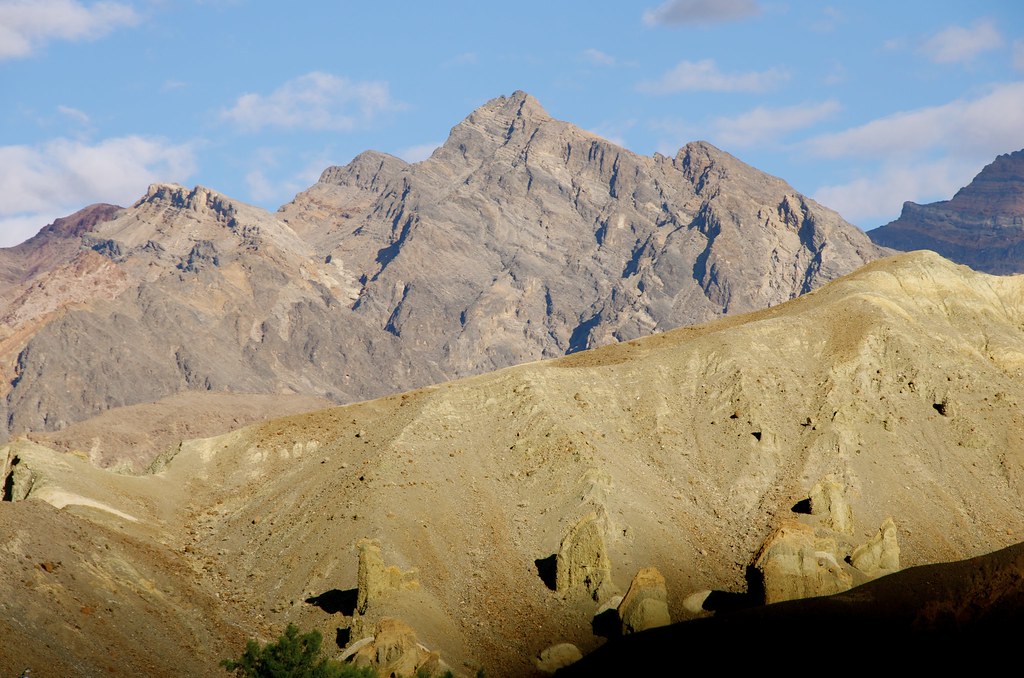 Death Valley Wilderness
 by
Overland Frontier, on Flickr
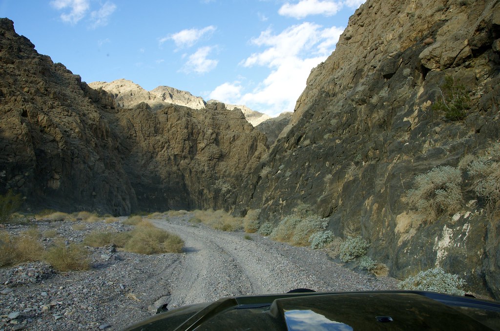 Echo Canyon
 by
Overland Frontier, on Flickr
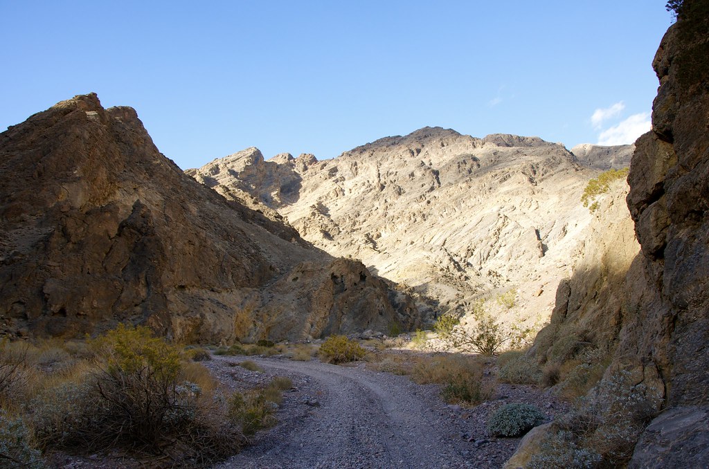 Echo Canyon
 by
Overland Frontier, on Flickr
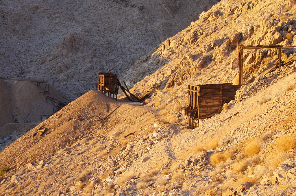
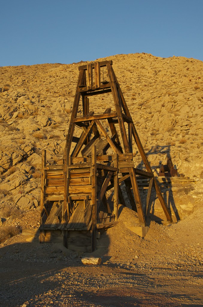
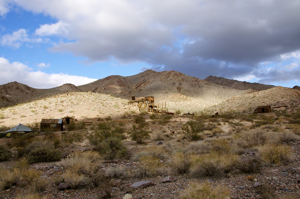 Inyo Mine
 by
Overland Frontier, on Flickr
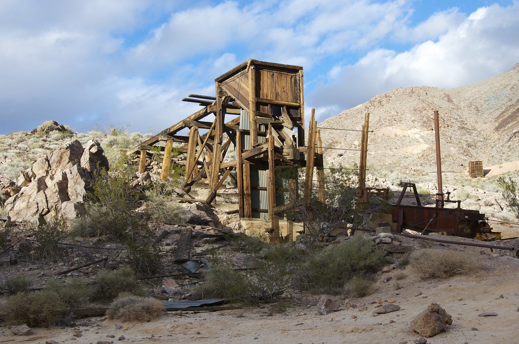 Inyo Mine
 by
Overland Frontier, on Flickr
 Inyo Mine
 by
Overland Frontier, on Flickr
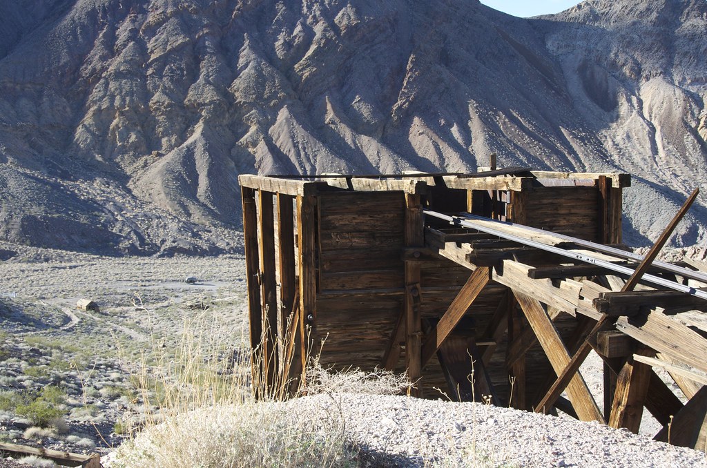
 Abandoned Rail Line Past Inyo
 by
Overland Frontier, on Flickr
Abandoned Rail Line Past Inyo by
Overland Frontier, on Flickr
While exploring the mine, I encountered two families from Australia that had flown to Canada and rented Overland vehicles in Toronto and were making their way across the continent.
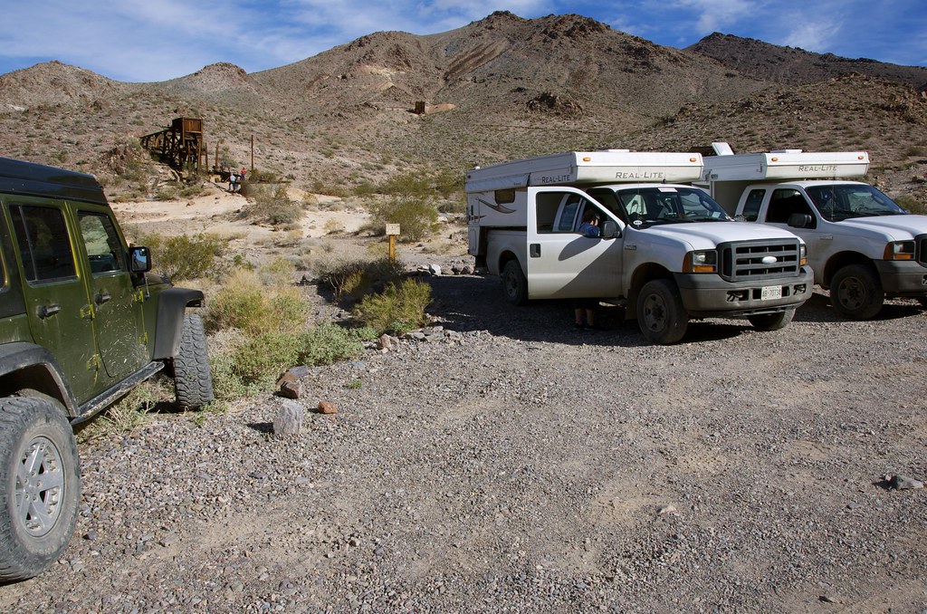 Australian Overlanders at Inyo
 by
Overland Frontier, on Flickr
For more photos, on-line maps and GPS/GPX Tracklog check out:
http://www.overlandfrontier.com/trek-series/abandoned-tt-railway-red-pass-titus-canyon
Hope you will like and follow us on
Facebook.
Ultimate Expedition To/From Overland Expo, Flagstaff, AZ – Leg 12 Post coming soon.

")