mercier@streetsmart.ca
Expedition Scout
This trek can be done in a day but we did not reach the trailhead until late afternoon, so we camped on the edge of Old Woman Mountain Wilderness, before taking the remote trail on the way to do the East section of Mojave Road.
The Old Woman Mountain potion of this Mojave Wilderness route is one of only a few missing “Dirt” links in the US portion of our Three Nation Scouting Expedition, targeted to be over 80% dirt from the Mexican border to British Columbia, Canada.
After exploring the “Rug Road” to link with a Southeastern Arizona Old West Journey, Overland Frontier is in the process of completing, Pete Getty and I carried on to scout a more interesting route linking Joshua Tree, Old Dale Mines and Mojave Road. This would link to a great little route across a Joshua tree forest, previously scouted in Mojave Wilderness, that comes out at Nipton.
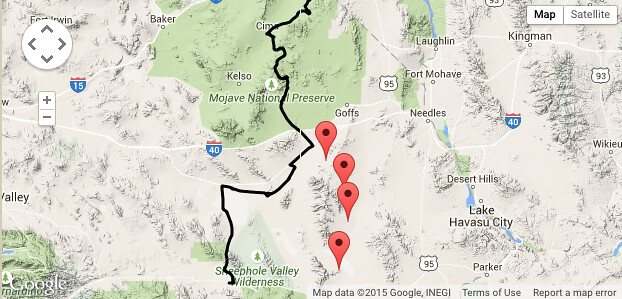
Old Woman Mountain Route (Red Flags) by Overland Frontier, on Flickr
While Pete was getting some repair work done, my fascination with 1856 US Army Camel Corp and the role they played in building the Beale Wagon Road that included the Mojave Road section, compelled me to make a stop in Quartzsite to visit the grave of Greek-Syrian by the name of Hadji Ali ("Hi Jolly"). He was a one of first camel drivers hired by US Army in 1856 to lead the US camel experiment with 33 imported camels in the Southwest. Jolly is buried on Quartzsite, where he retired.
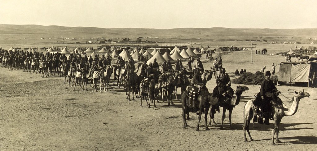
US Army Corp Camel Corp experiment with 33 imported camels in the Southwest. by Overland Frontier, on Flickr
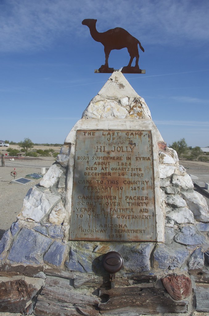
1b DSC_4783 by Overland Frontier, on Flickr
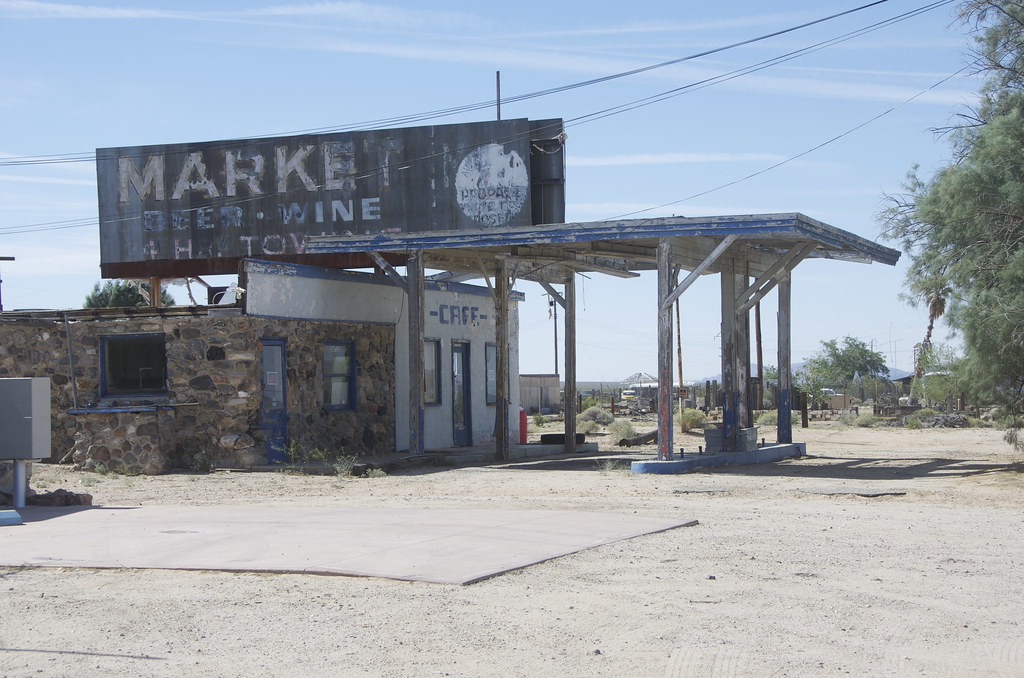
The proud community named many businesses in honor of their famous citizen, including a great little garage from the 50's service station era.
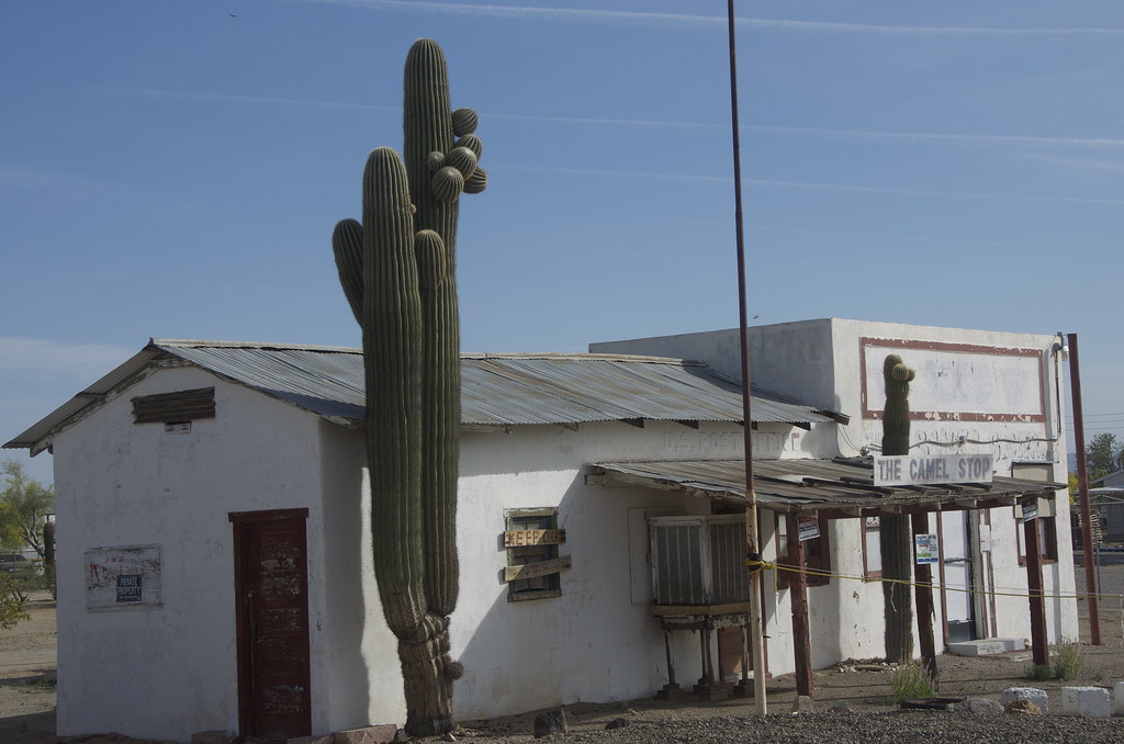
Abandoned 50's Service Station in Quartzsite, named The Camel Stop” in honor of “Hi Jolly”. by Overland Frontier, on Flickr
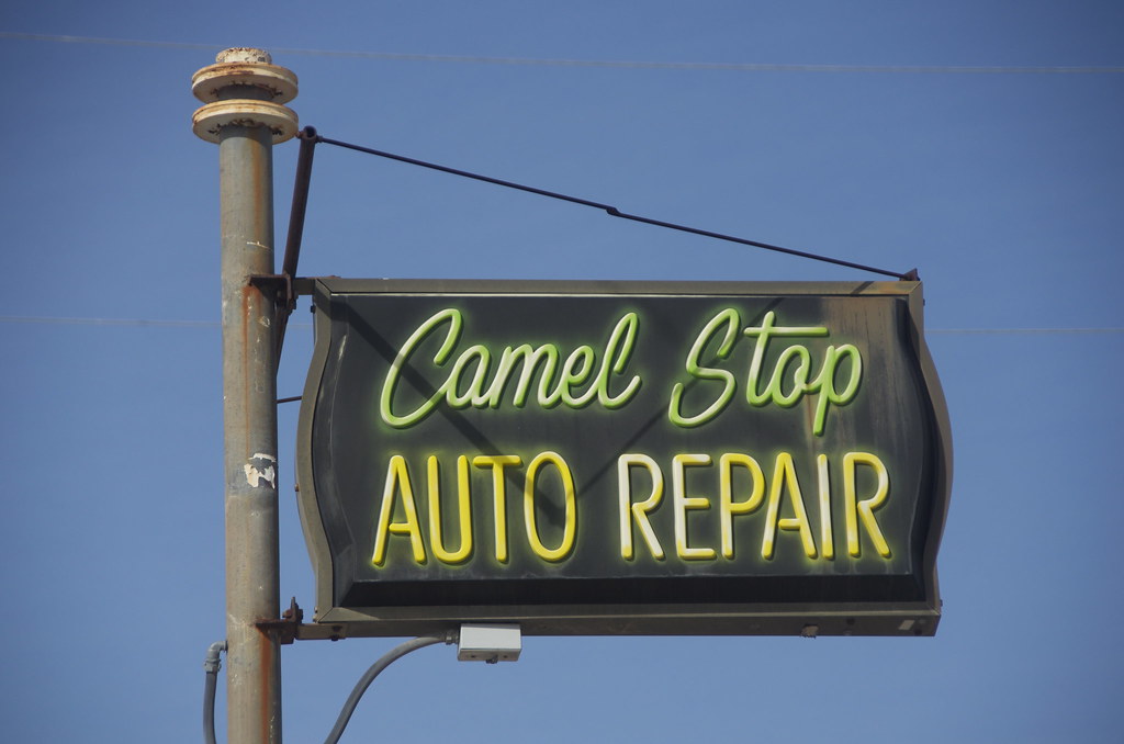
Abandoned 50's Service Station in Quartzsite, named The Camel Stop” in honor of “Hi Jolly”. by Overland Frontier, on Flickr
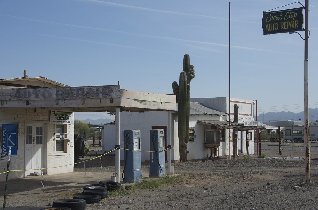
Abandoned 50's Service Station in Quartzsite, named The Camel Stop” in honor of “Hi Jolly”. by Overland Frontier, on Flickr
We came from Joshua Tree Old Dale Mining Roads, just East of Twentynine Palm. Highway 62 rollers were particularly enjoyable.
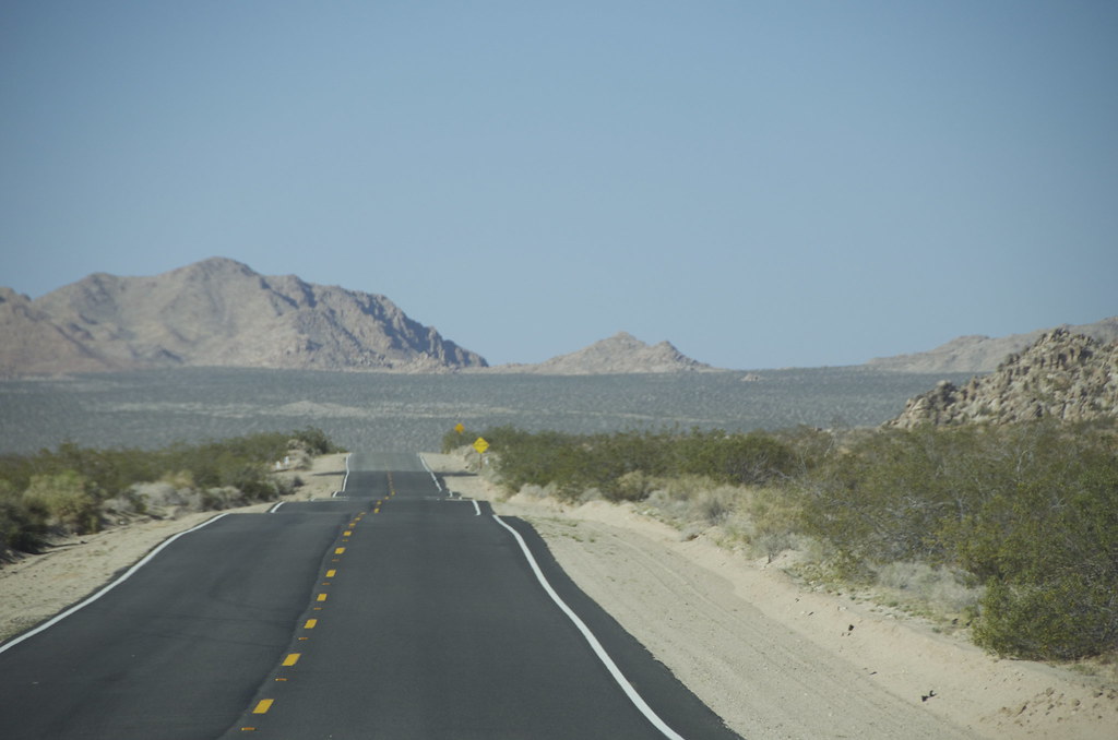
Serene Highway 62 from Twentynine Palms to dirt trailhead. by Overland Frontier, on Flickr
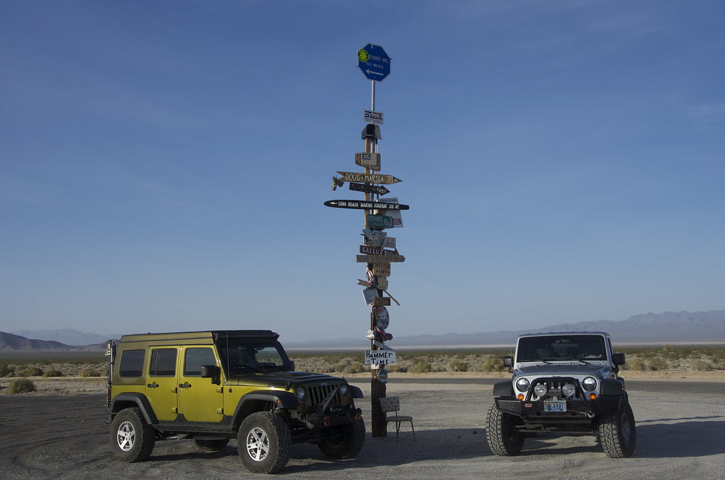
Creative signpost near Old Woman Mountain trailhead. by Overland Frontier, on Flickr
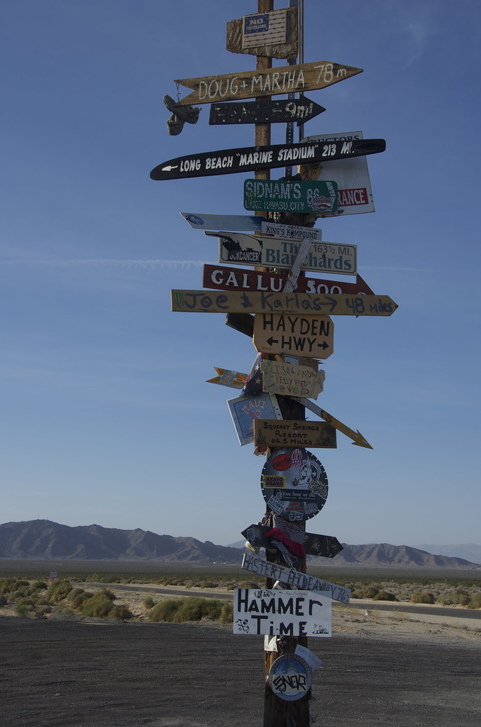
Creative signpost near Old Woman Mountain trailhead. by Overland Frontier, on Flickr
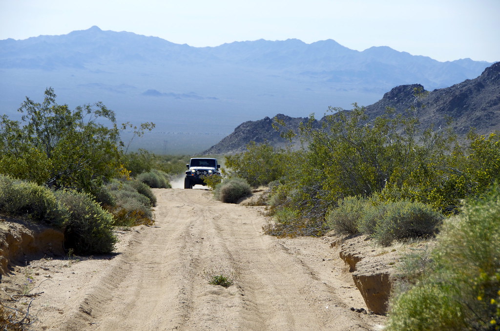
After a few aborted attempts, we found a dead straight Power Line of Right-of-way road, with some deep sand sections, that led to the Old Woman Wilderness trail.
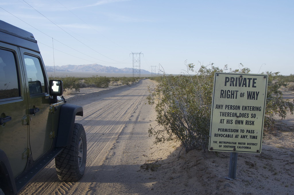
Power Line Right-of-way deep sand road to Old Woman Mountain Wilderness. by Overland Frontier, on Flickr
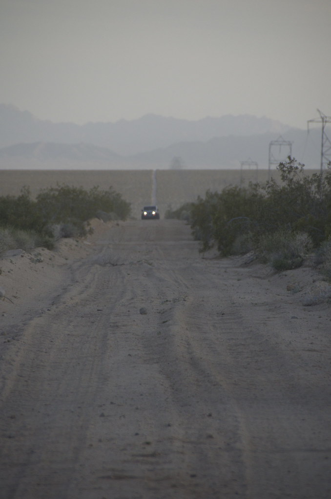
Power Line Right-of-way deep sand road to Old Woman Mountain Wilderness. by Overland Frontier, on Flickr
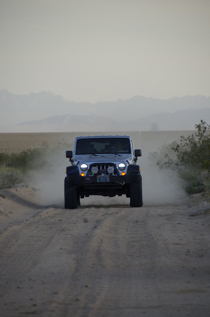
Power Line Right-of-way deep sand road to Old Woman Mountain Wilderness. by Overland Frontier, on Flickr
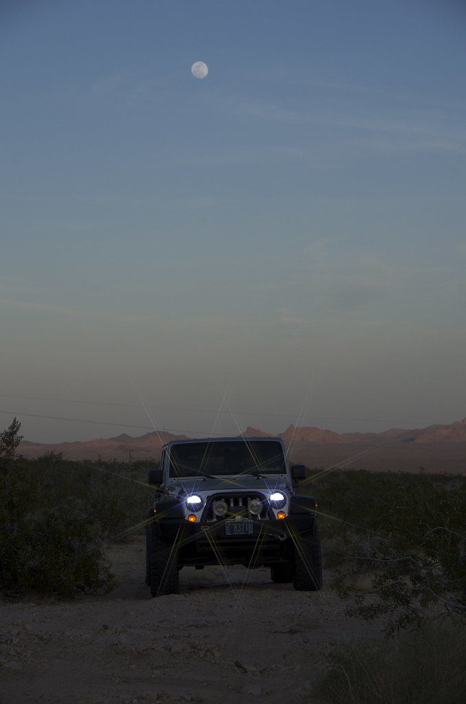
Dusk below Old Woman Mountain Wilderness. by Overland Frontier, on Flickr
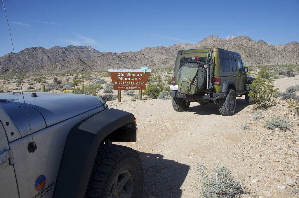
With an early mourning start, we easily found the trailhead, at the East edge of the Old Woman Wilderness.
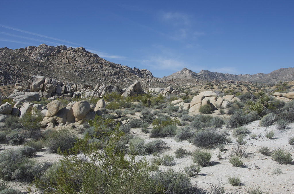
Old Woman Mountain Mining Trails by Overland Frontier, on Flickr
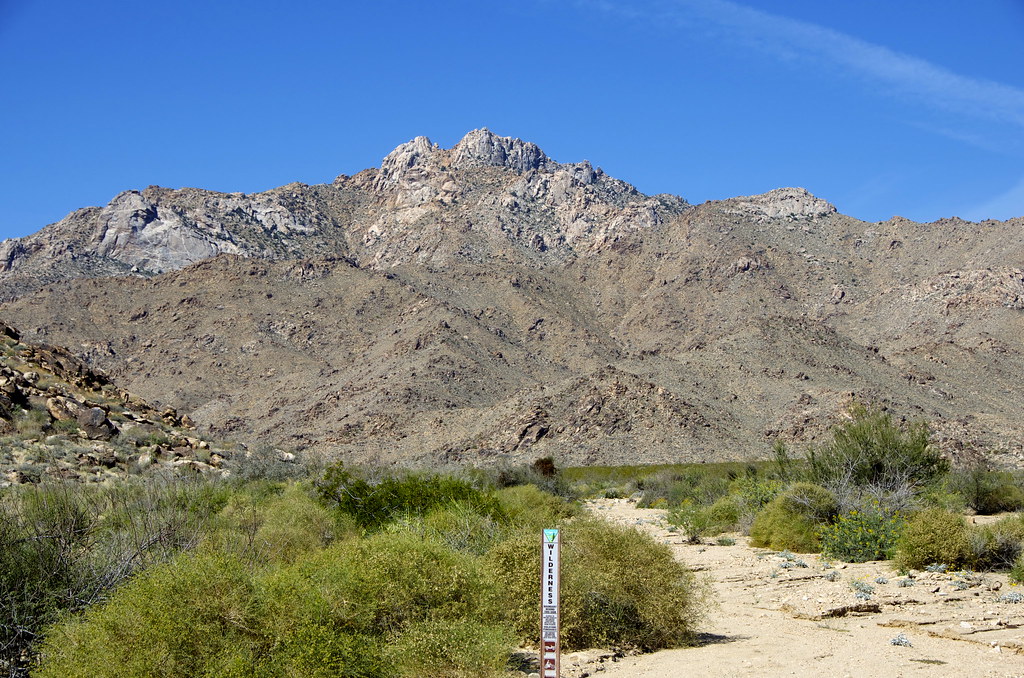
Old Woman Mountain Wilderness by Overland Frontier, on Flickr
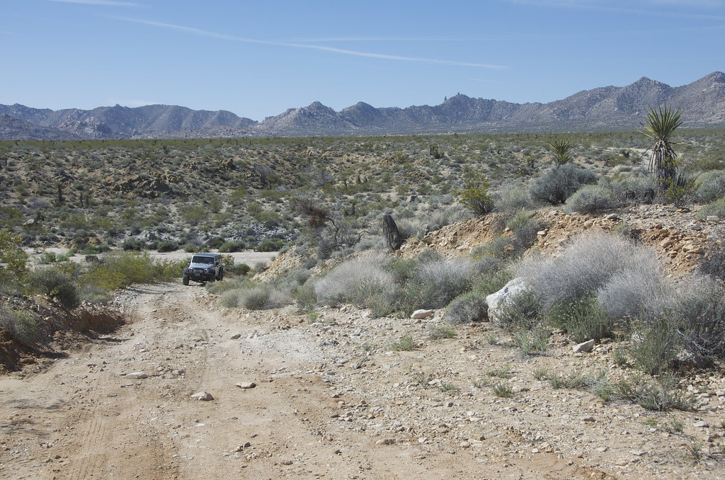
Trail skirts Old Woman Mountain Wilderness by Overland Frontier, on Flickr
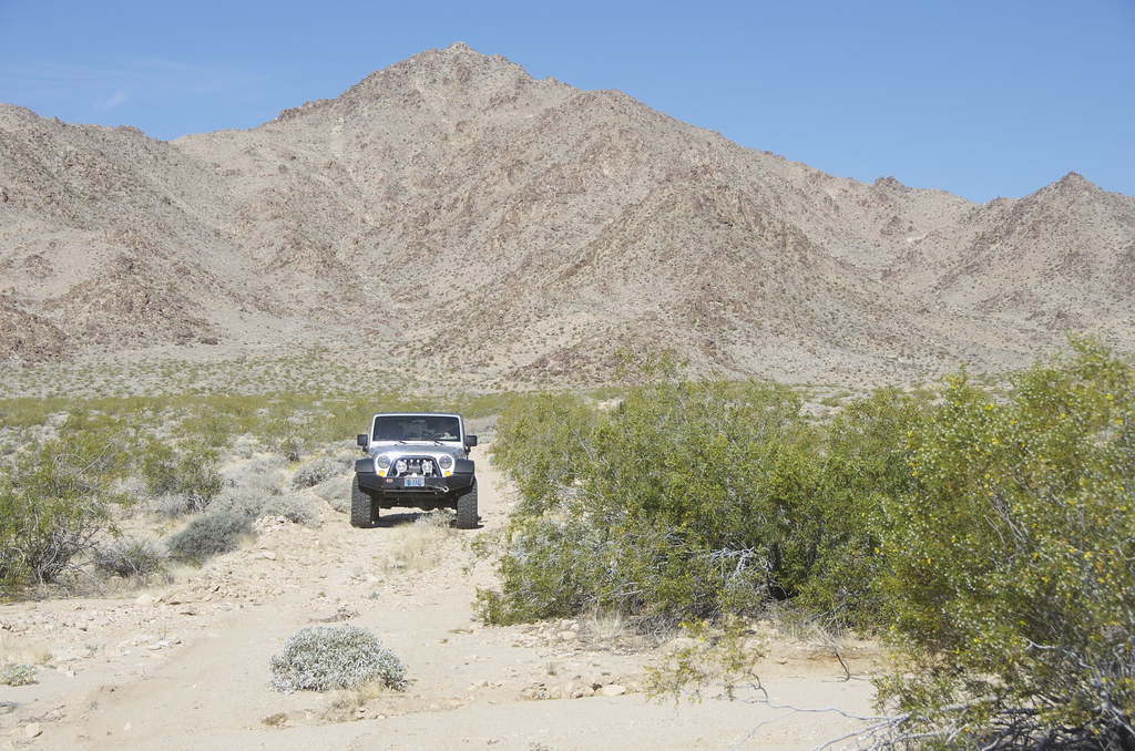
Again, we encountered a few deeper sandy sections, but the trail was moderate in nature. While it does not drive into the mountains, it skirts right along side, making hiking in the Wilderness very easy.
Old Woman Mountain Trail. by Overland Frontier, on Flickr
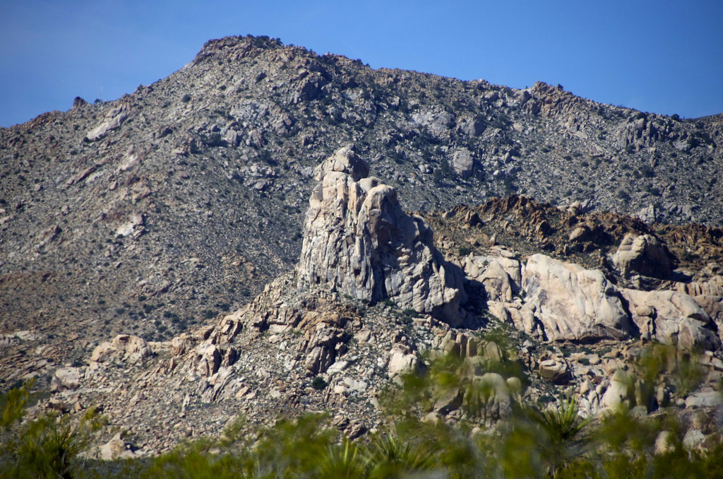
Old Woman Mountain Wilderness. by Overland Frontier, on Flickr
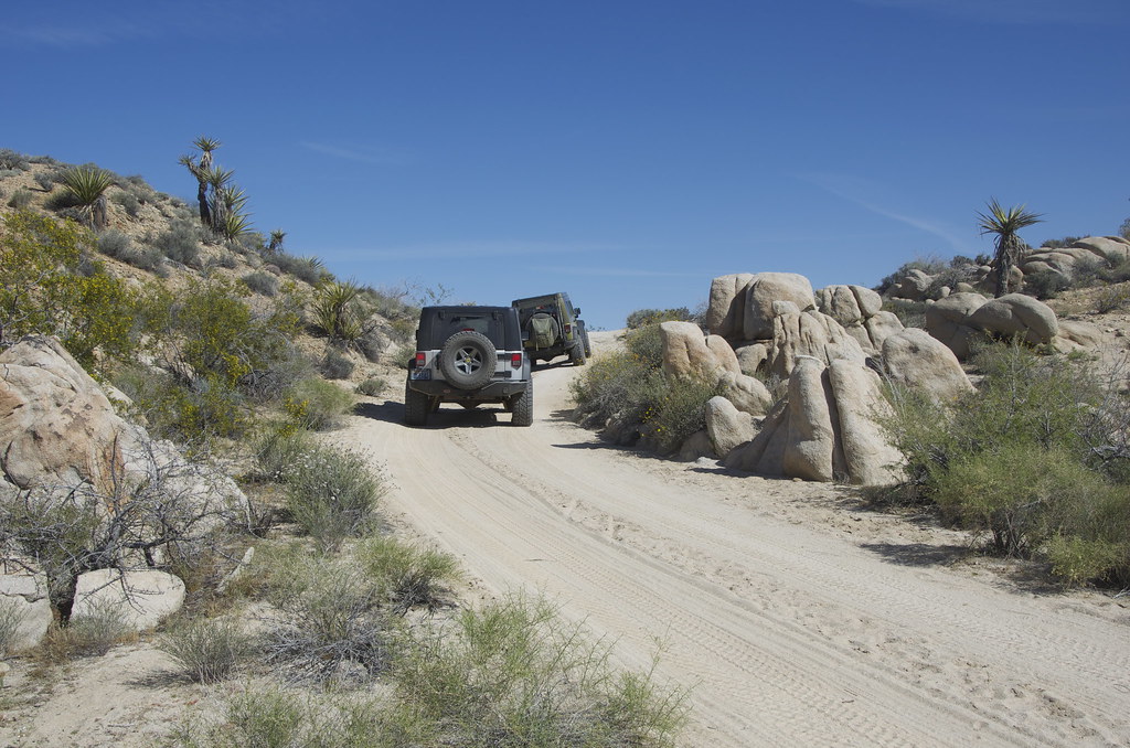
Old Woman Mountain Trail. by Overland Frontier, on Flickr
Old Woman Mountain Wilderness. by Overland Frontier, on Flickr
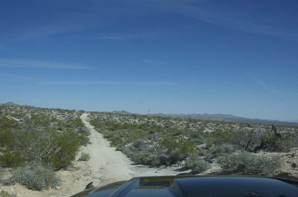
Old Woman Mountain Trail. by Overland Frontier, on Flickr
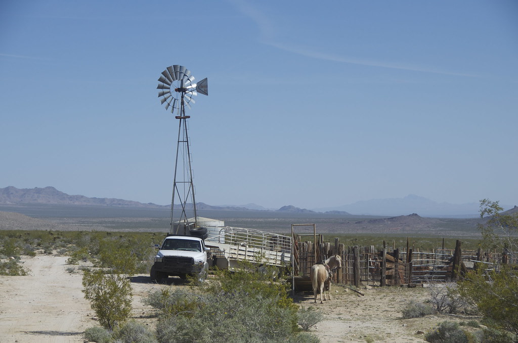
Cattle Operation at work on Old Woman Mountain Trail. by Overland Frontier, on Flickr
Old Woman Mountain Trail. by Overland Frontier, on Flickr
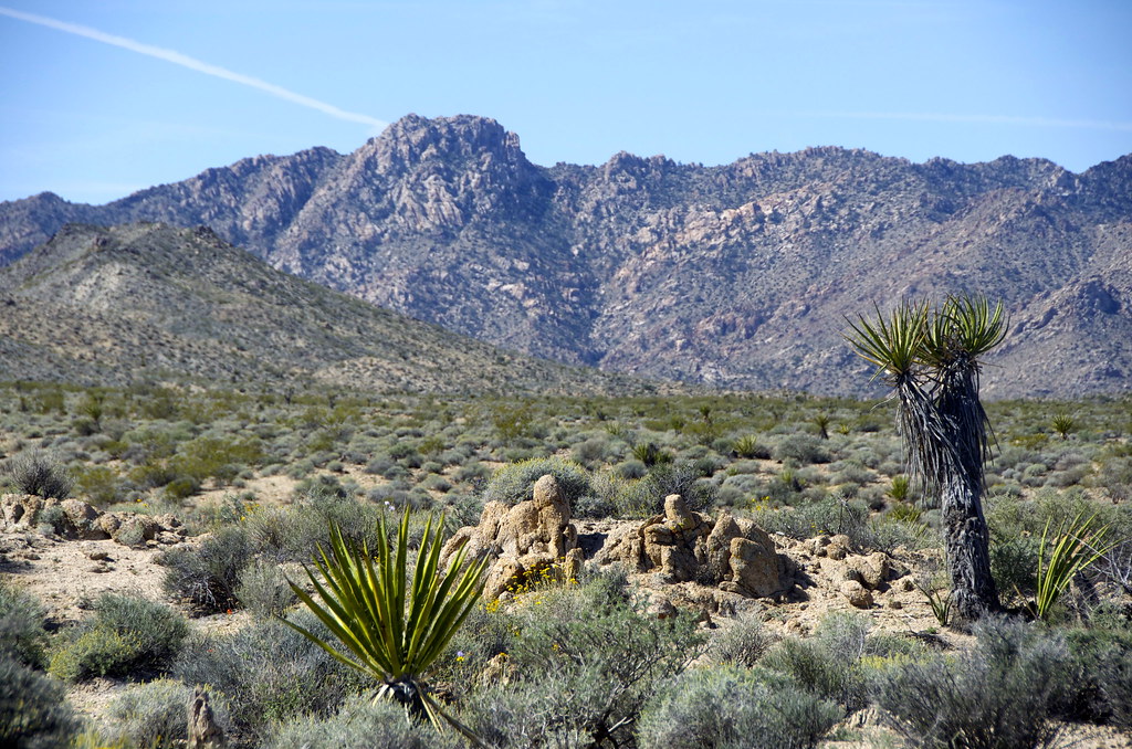
Old Woman Mountain Wilderness by Overland Frontier, on Flickr
Old Woman Mountain End-of-trial on Route 66 by Overland Frontier, on Flickr
While the showcased route can be done in a day, it's easy to add interesting Trek Legs before or after. For free GPS/GPX trackless downloads and scout photos, check out Overland Frontier in links for Berdoo Canyon to Joshua Tree, Old Dale Mines and Mojave Road on the south side of this route or to the north Mojave Wilderness, that comes out at Nipton. Each could warrant a day, if you have the time.
Hope you will like and follow us on Facebook.
The Old Woman Mountain potion of this Mojave Wilderness route is one of only a few missing “Dirt” links in the US portion of our Three Nation Scouting Expedition, targeted to be over 80% dirt from the Mexican border to British Columbia, Canada.
After exploring the “Rug Road” to link with a Southeastern Arizona Old West Journey, Overland Frontier is in the process of completing, Pete Getty and I carried on to scout a more interesting route linking Joshua Tree, Old Dale Mines and Mojave Road. This would link to a great little route across a Joshua tree forest, previously scouted in Mojave Wilderness, that comes out at Nipton.
Old Woman Mountain Route (Red Flags) by Overland Frontier, on Flickr
While Pete was getting some repair work done, my fascination with 1856 US Army Camel Corp and the role they played in building the Beale Wagon Road that included the Mojave Road section, compelled me to make a stop in Quartzsite to visit the grave of Greek-Syrian by the name of Hadji Ali ("Hi Jolly"). He was a one of first camel drivers hired by US Army in 1856 to lead the US camel experiment with 33 imported camels in the Southwest. Jolly is buried on Quartzsite, where he retired.
US Army Corp Camel Corp experiment with 33 imported camels in the Southwest. by Overland Frontier, on Flickr
1b DSC_4783 by Overland Frontier, on Flickr
The proud community named many businesses in honor of their famous citizen, including a great little garage from the 50's service station era.
Abandoned 50's Service Station in Quartzsite, named The Camel Stop” in honor of “Hi Jolly”. by Overland Frontier, on Flickr
Abandoned 50's Service Station in Quartzsite, named The Camel Stop” in honor of “Hi Jolly”. by Overland Frontier, on Flickr
Abandoned 50's Service Station in Quartzsite, named The Camel Stop” in honor of “Hi Jolly”. by Overland Frontier, on Flickr
We came from Joshua Tree Old Dale Mining Roads, just East of Twentynine Palm. Highway 62 rollers were particularly enjoyable.
Serene Highway 62 from Twentynine Palms to dirt trailhead. by Overland Frontier, on Flickr
Creative signpost near Old Woman Mountain trailhead. by Overland Frontier, on Flickr
Creative signpost near Old Woman Mountain trailhead. by Overland Frontier, on Flickr
After a few aborted attempts, we found a dead straight Power Line of Right-of-way road, with some deep sand sections, that led to the Old Woman Wilderness trail.
Power Line Right-of-way deep sand road to Old Woman Mountain Wilderness. by Overland Frontier, on Flickr
Power Line Right-of-way deep sand road to Old Woman Mountain Wilderness. by Overland Frontier, on Flickr
Power Line Right-of-way deep sand road to Old Woman Mountain Wilderness. by Overland Frontier, on Flickr
Dusk below Old Woman Mountain Wilderness. by Overland Frontier, on Flickr
With an early mourning start, we easily found the trailhead, at the East edge of the Old Woman Wilderness.
Old Woman Mountain Mining Trails by Overland Frontier, on Flickr
Old Woman Mountain Wilderness by Overland Frontier, on Flickr
Trail skirts Old Woman Mountain Wilderness by Overland Frontier, on Flickr
Again, we encountered a few deeper sandy sections, but the trail was moderate in nature. While it does not drive into the mountains, it skirts right along side, making hiking in the Wilderness very easy.
Old Woman Mountain Trail. by Overland Frontier, on Flickr
Old Woman Mountain Wilderness. by Overland Frontier, on Flickr
Old Woman Mountain Trail. by Overland Frontier, on Flickr
Old Woman Mountain Wilderness. by Overland Frontier, on Flickr
Old Woman Mountain Trail. by Overland Frontier, on Flickr
Cattle Operation at work on Old Woman Mountain Trail. by Overland Frontier, on Flickr
Old Woman Mountain Trail. by Overland Frontier, on Flickr
Old Woman Mountain Wilderness by Overland Frontier, on Flickr
Old Woman Mountain End-of-trial on Route 66 by Overland Frontier, on Flickr
While the showcased route can be done in a day, it's easy to add interesting Trek Legs before or after. For free GPS/GPX trackless downloads and scout photos, check out Overland Frontier in links for Berdoo Canyon to Joshua Tree, Old Dale Mines and Mojave Road on the south side of this route or to the north Mojave Wilderness, that comes out at Nipton. Each could warrant a day, if you have the time.
Hope you will like and follow us on Facebook.
Last edited: