mercier@streetsmart.ca
Expedition Scout
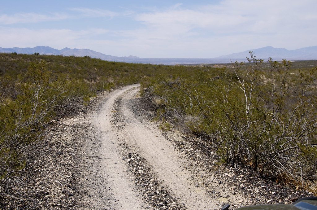
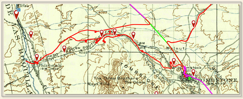
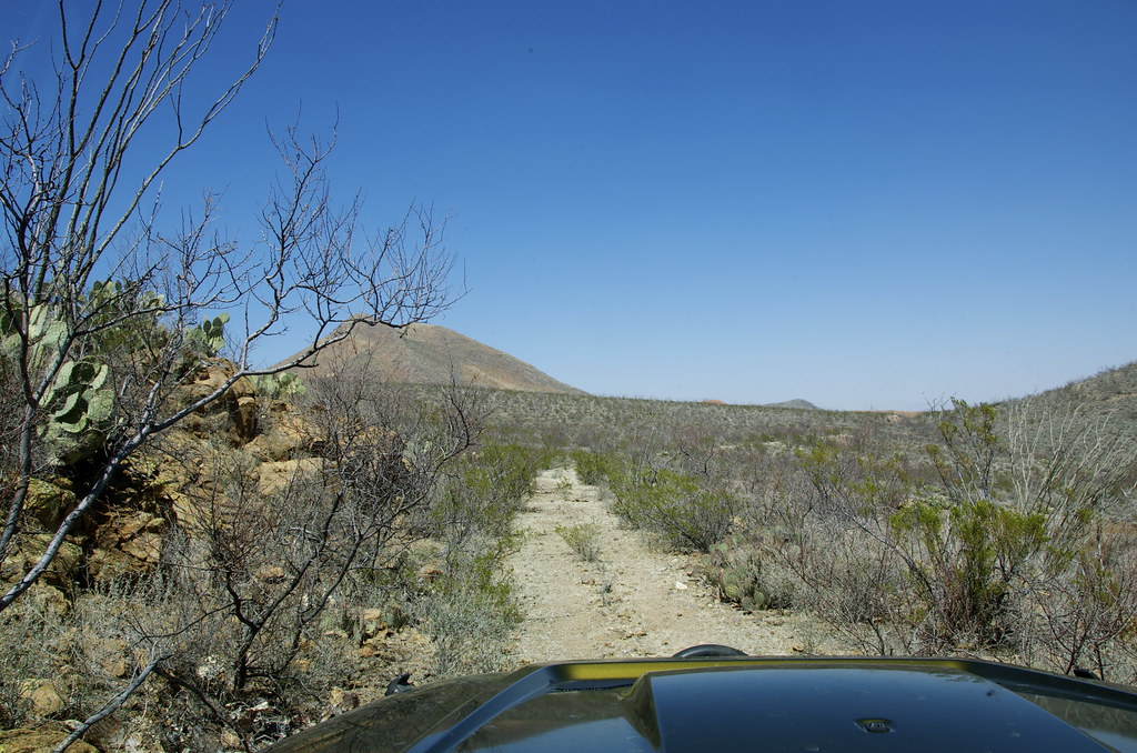
While searching for the most interesting historical routes on the continent, we discovered a series of dirt-sand-rock trails that can be interlinked across Arizona, Utah, Colorado, Wyoming, Montana, Alberta and British Columbia. This, the second half of a Trans American Loop, links to a route already scouted, mapped and documented from California, Nevada, Oregon, Idaho and British Columbia, that is over 80% dirt (see “Ultimate Expedition To/From Overland Expo”, thread in Forum and Expeditions on OverlandFrontier.com). When complete, final links in BC's Inside Passage, Yukon Territories Alaska and Baja-Mexican mainland will connect the Three Nation Expedition Loop Route.
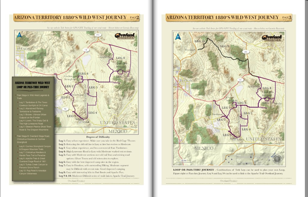
Arizona Territory Wild West Journey
The first sequential Arizona Overland Frontier Journey was planned to start a few miles above the Mexican-Arizona border near Bisbee so it could link directly to a Mexican Journey. But after reading the captivating New York Times Bestseller, “The Last Gunfight”, it became obvious that a documentary on the old West should start in Tombstone, where global fascination with the American Wild West was sparked when the Earp Brothers, Doc Holiday and the Texas Cowboys would square off at OK Corral, in 1881.
Leg 1: Tombstone & The Texas Cowboy Gunfight at OK Corral.
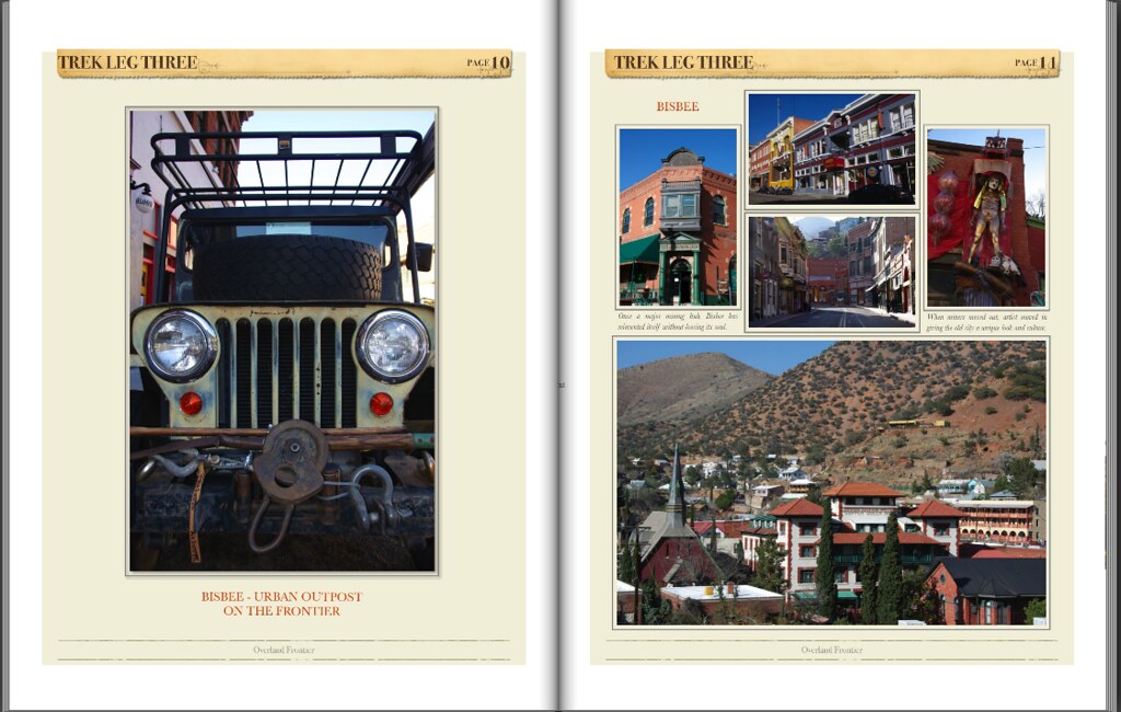
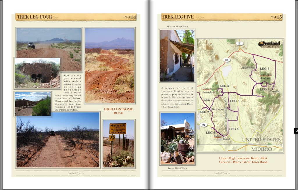
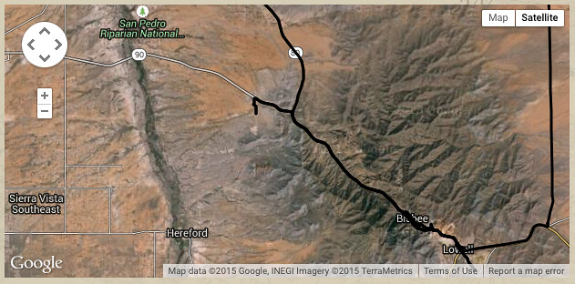
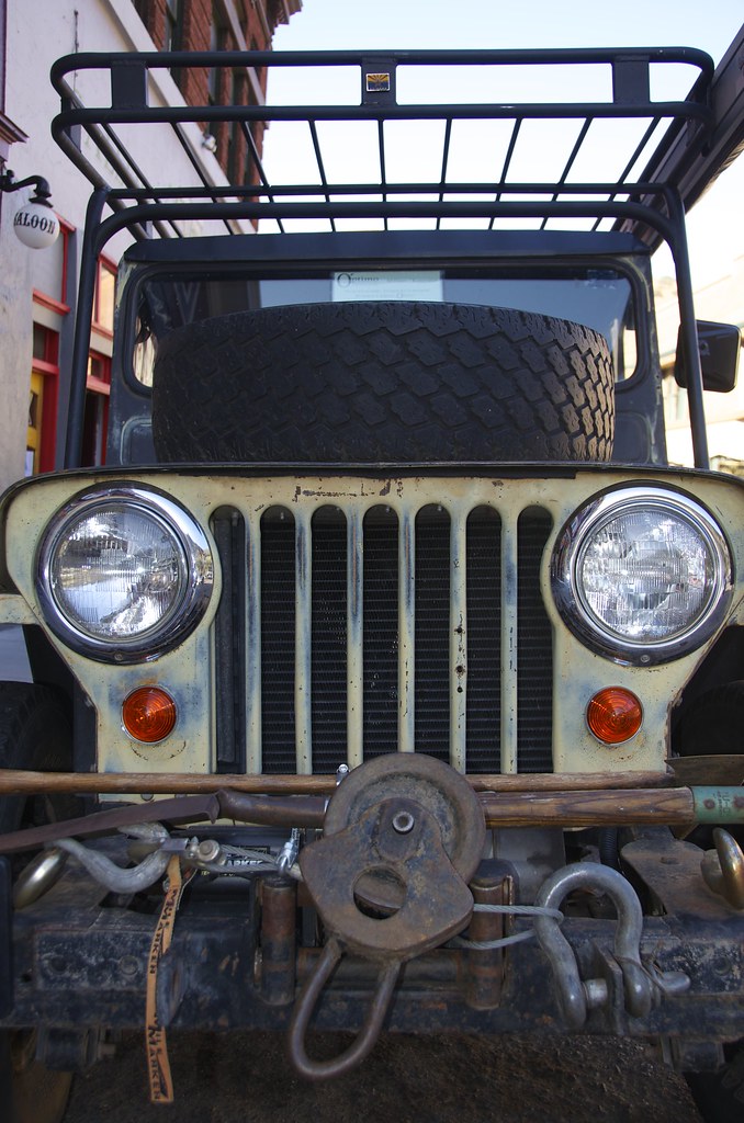
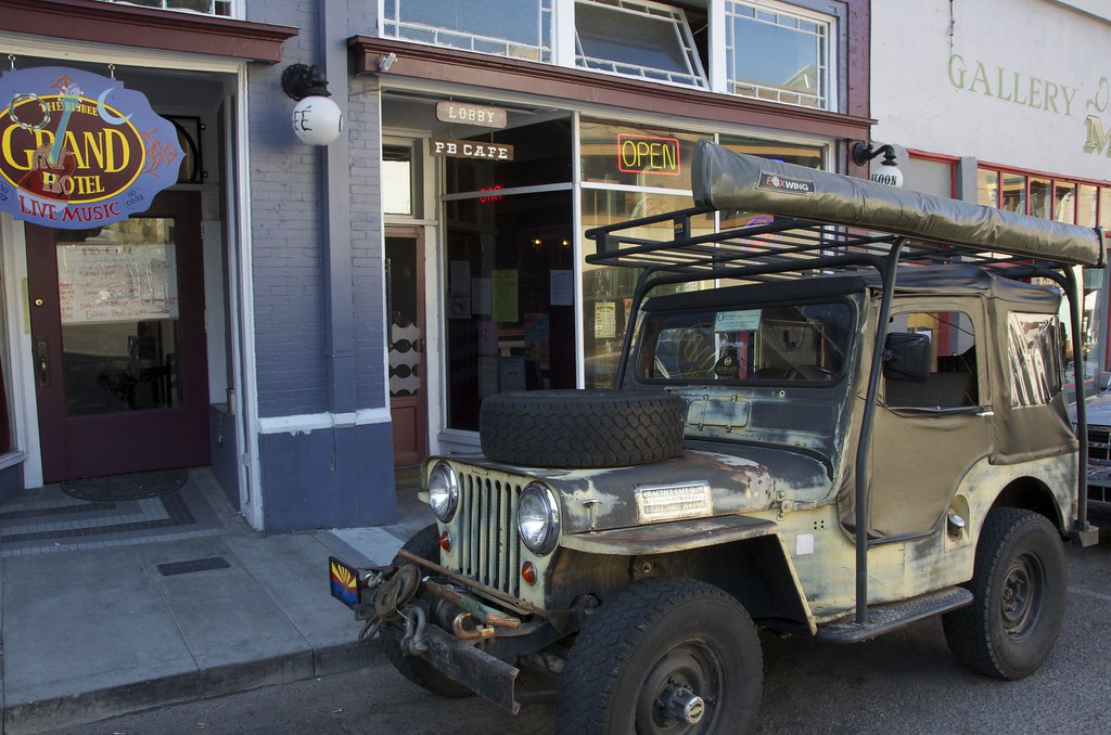
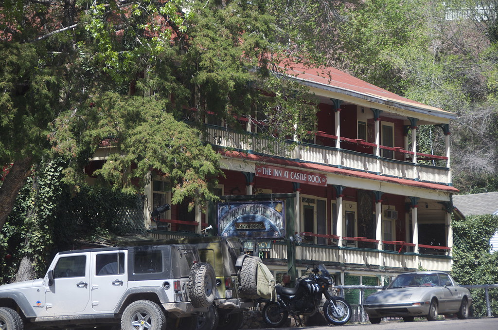
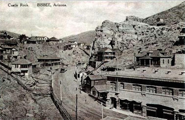
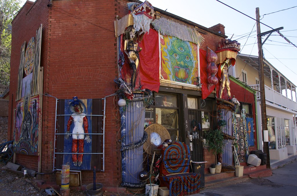
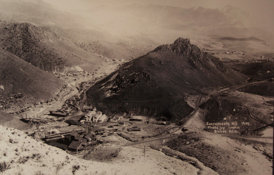
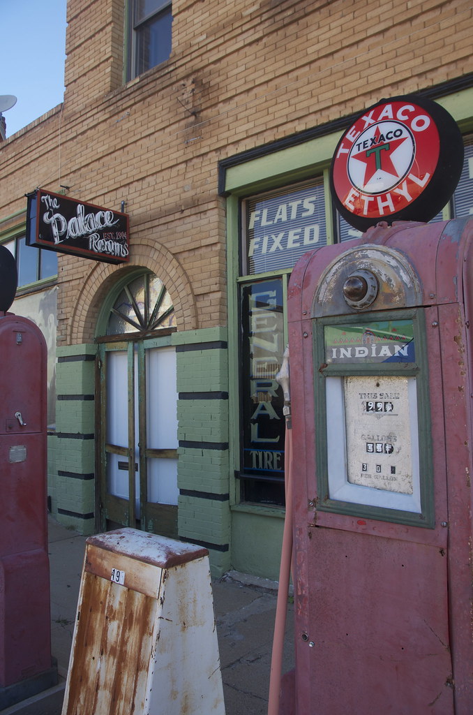
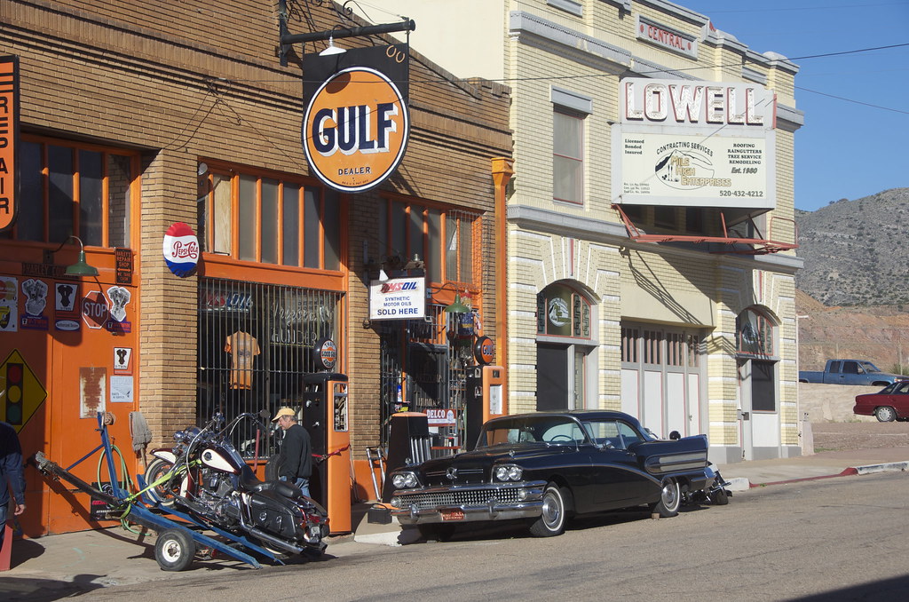
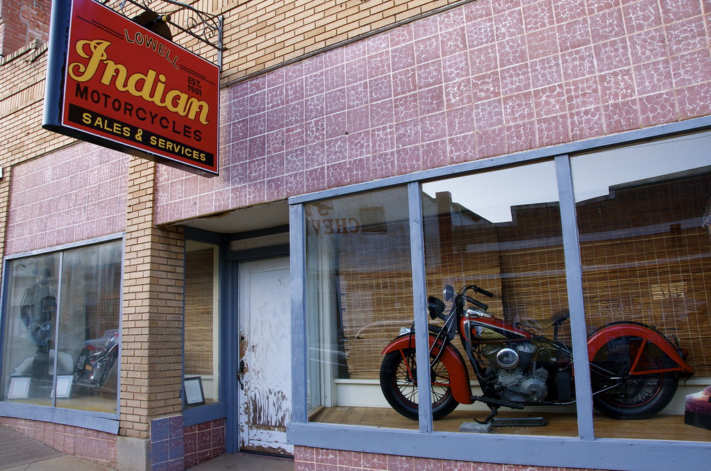
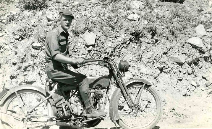
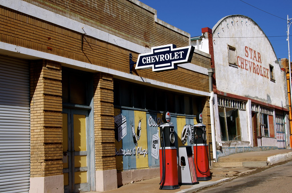
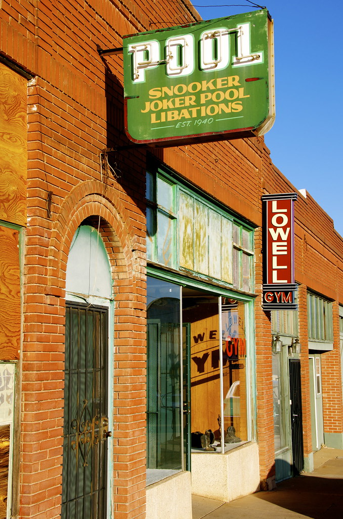
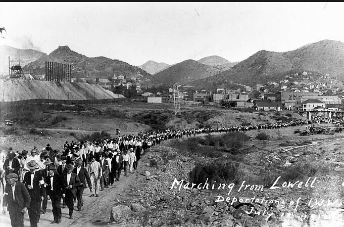
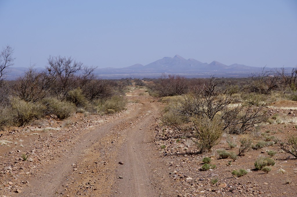
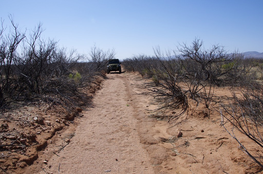
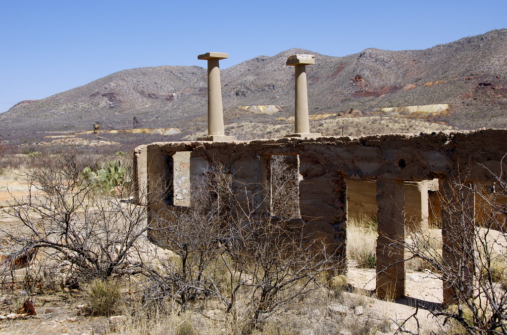
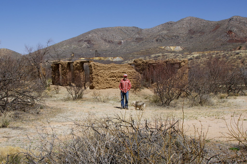
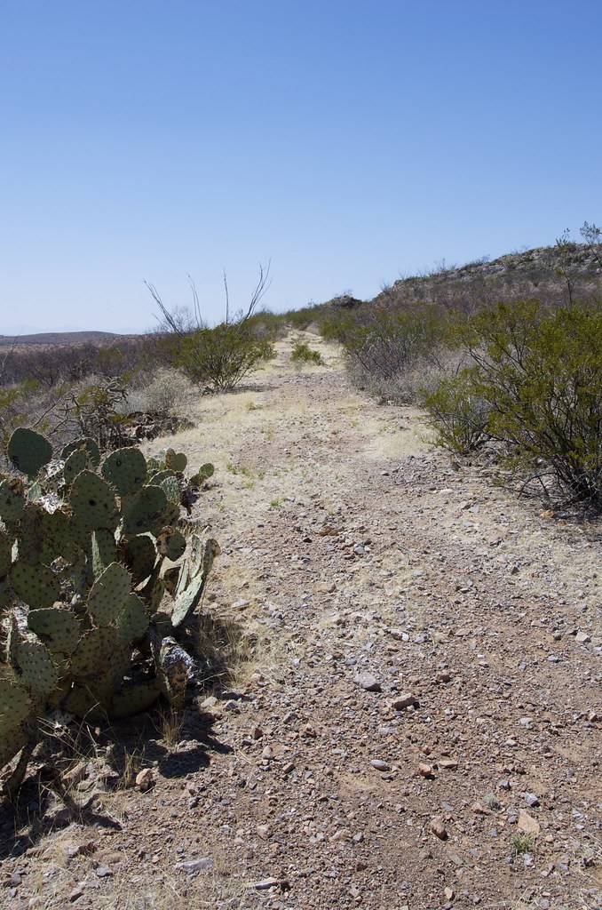
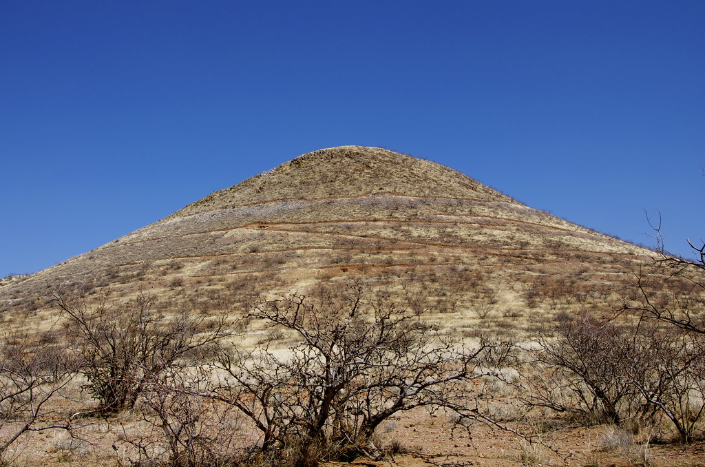
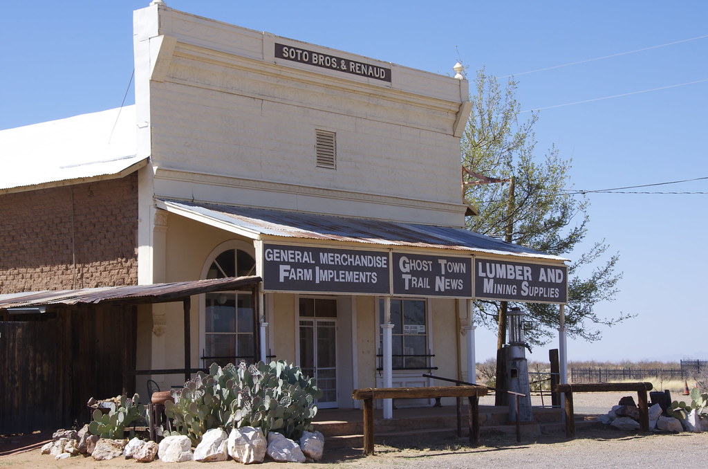
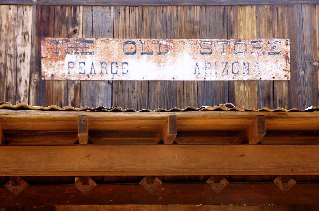
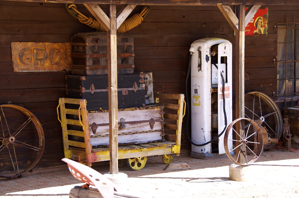
My first visit to Tombstone was not love at first sight. To be fair, it was a weekend. A quick glimpse of tourist crowds, rows of souvenir shops, I took a few photos and hightailed it out town, 23 miles south to explore the incredibly preserved frontier border town of Bisbee and the equally frozen-in-time 40's ghost town of Lowell, a great springboard to the abandoned High Lonesome Road to the Gleeson - Pearce Ghost Town Road.
As always, while scouting trails for Overland Frontier, we look to travel across Old West Frontiers rich with interesting trails, tales and relics. The book “The Last Gunfight” and subsequent research provided context and helped me see Tombstone differently as I walked the streets – this time on a weekday – a much better experience.
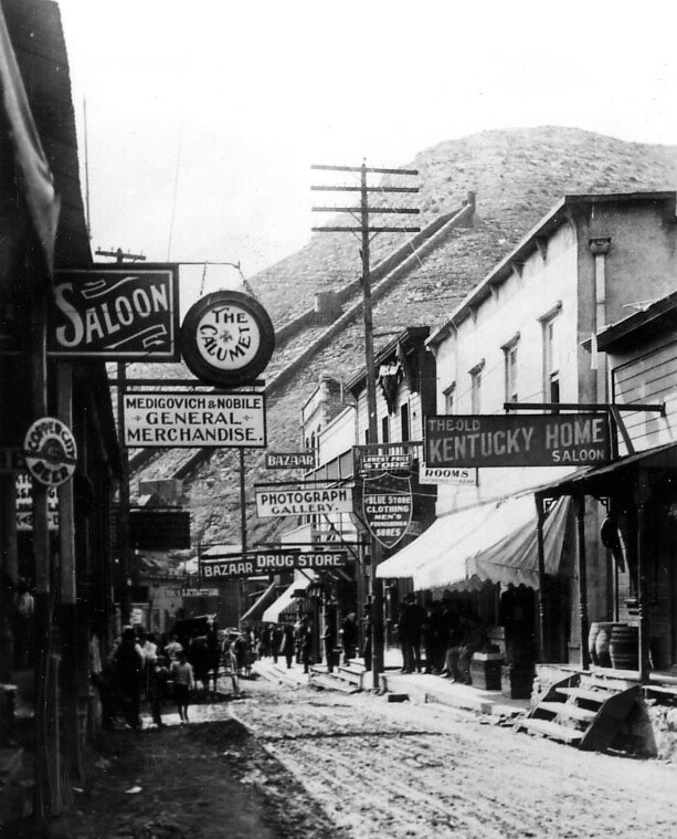
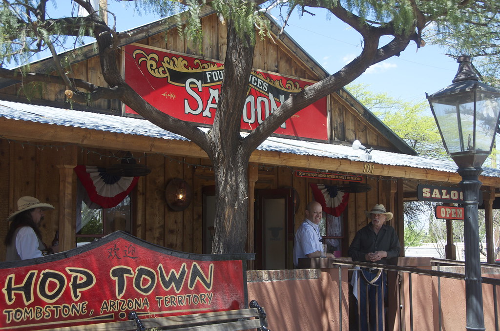
Tombstone, the ‘Town To Tough To Die', continues to celebrate its colorful past. The Bucket of Blood Saloon survives, one of 100 saloons that once lined the streets after the silver strike of 1877. Today it is the Longhorn Restaurant.
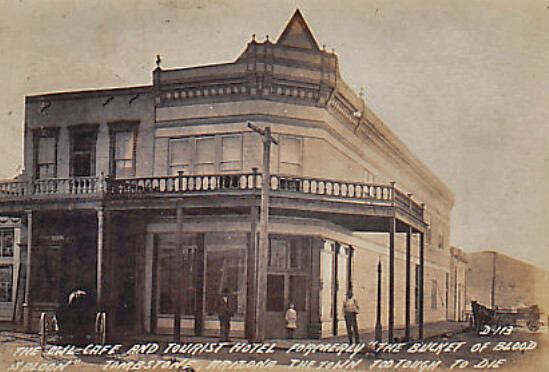
Bucket of Blood Saloon, later the renamed a more tourist friendly, Owl Hotel. by Overland Frontier, on Flickr
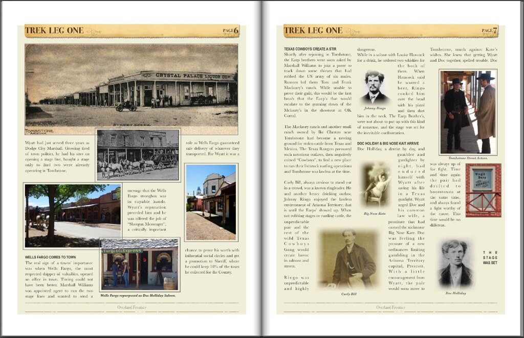
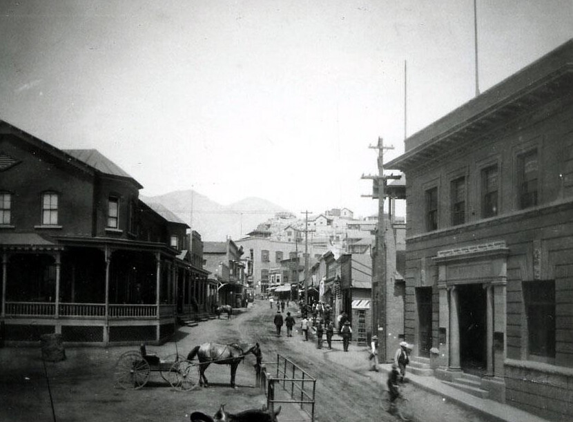
Drifting from one old West boomtown to another was not only common for prospectors, but also for gamblers, promoters, merchants and even lawman. The Earp brothers were no different and Tombstone was being taken over by Texas Cowboys outlaw gang.
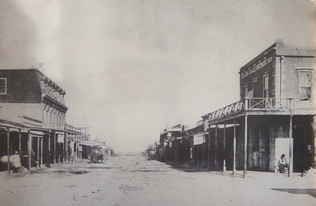
Tombstone, AZ 1882. by Overland Frontier, on Flickr
The shine was coming off Dodge City. Virgil, the first of the Earp's to move his badge, won a high profile US Deputy Marshal position and had an office over the Crystal Palace Saloon. Soon brothers Wyatt, James and Morgan followed.
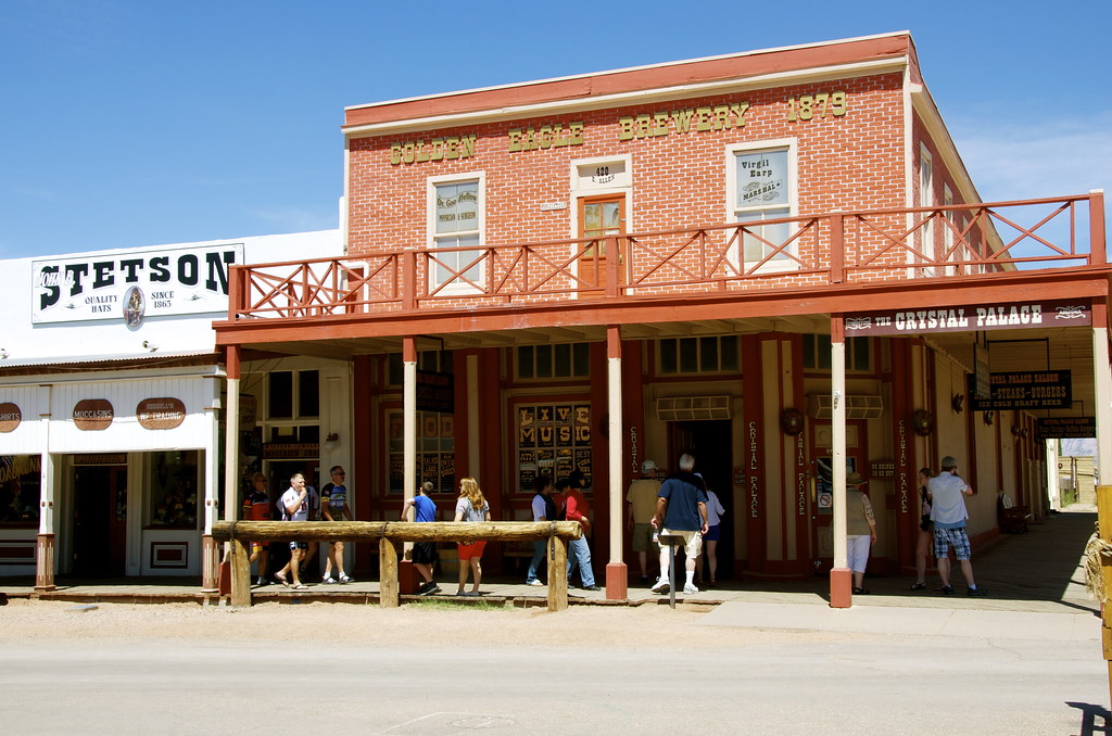
Crystal Palace, once the 2nd floor office of US Marshall Virgil Earp. by Overland Frontier, on Flickr
The real sign of a towns' importance was when Wells Fargo, the most respected shipper of valuables, opened an office in town. Timing could not have been better for Wyatt Earp. He was offered the job of “Shotgun Messenger”, a chance to prove himself for the Sheriff election.
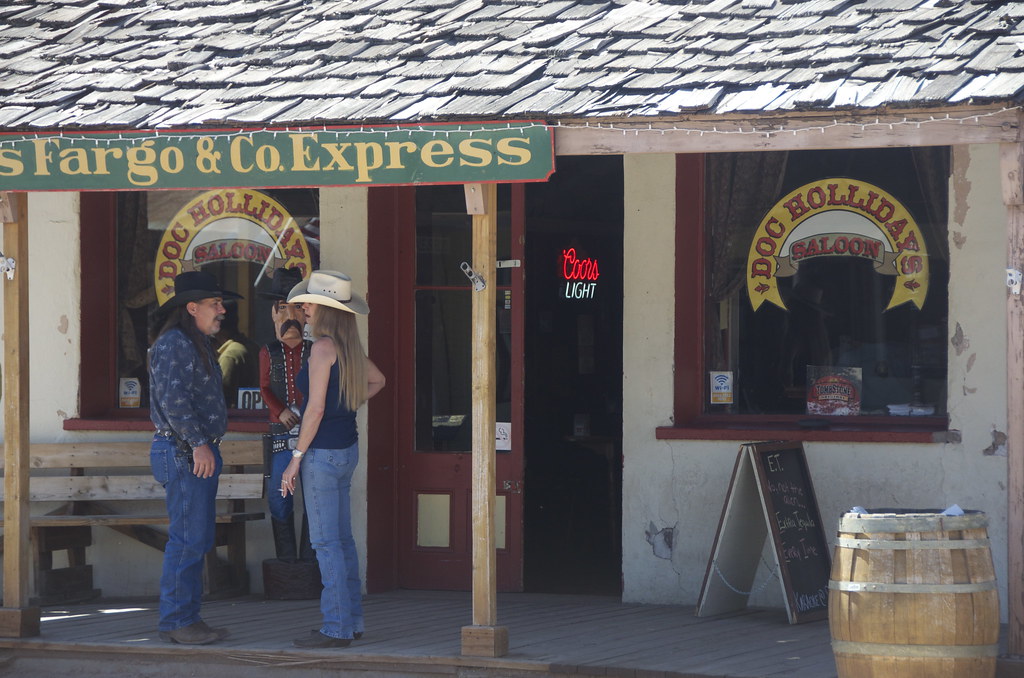
Wells Fargo & Company Express office, now Doc Holidays Saloon. by Overland Frontier, on Flickr
While in Dodge City, the Earp's introduced a city ordinance where everyone had to check their guns as they arrived to town, which did not sit well with the Johnny Ringo, Curly Bill and the rest of the wild Texas Cowboys Gang that had gotten used to creating havoc in town, when not robbing stages or rustling cattle.
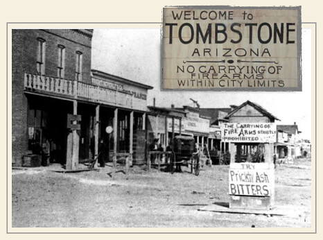
Tombstone Firearms Ordinance, a trend started in Dodge City. by Overland Frontier, on Flickr
Doc Holliday, a dentist by day, gambler and gunfighter by night, had endured himself with Wyatt after saving his life in a Texas gunfight. Wyatt urged Doc and his common law wife, a prostitute that had earned the nickname Big Nose Kate, to join him in Tombstone. The stage was set and all the players were in place.
Big Nose Kates Saloon, formerly the Grand Hotel in Tombstone. by Overland Frontier, on Flickr
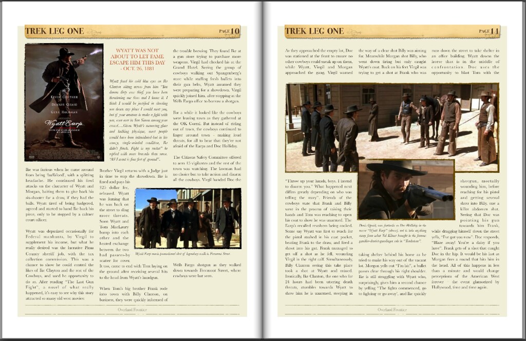
The night before the legendary Gunfight at OK Corral, Ike Clanton in his usual drunken stupor, followed Wyatt to the Oriental Saloon, with his revolver in plain sight, to boldly advise Wyatt that he would be looking for the Earp's and Doc Holliday in the morning, where they would finally settle the feud.
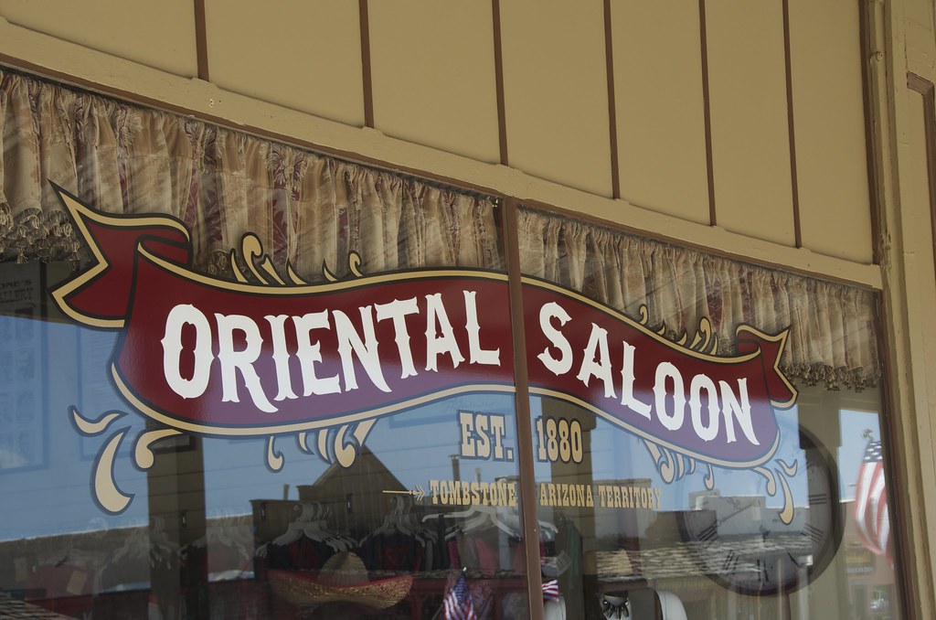
Oriental Saloon in Tombstone. by Overland Frontier, on Flickr
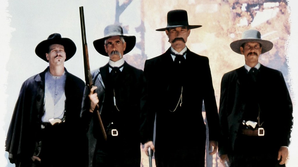
What happens next continues to be retold today – brilliantly, I might add. The New York Times Bestseller, “The Last Gunfight” – a must read - the real story is even more captivating than the film versions. Yet the movie, Thombstone, was a great, albeit romantic portrayal – Val Kilmer, Sam Elliot, Kurt Russell and Bill Paxton just seemed to suit the roles they played.
Walking to gunfight promo scene from Tombstone movie. by Overland Frontier, on Flickr
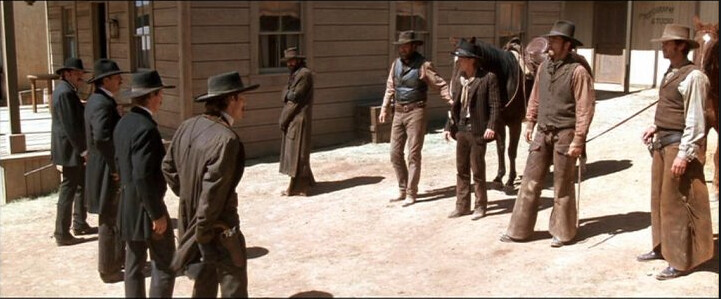
“Throw up your hands, boys. I intend to disarm you.” What happened next differs greatly depending on who was telling the story”. Friends of the cowboys state Frank and Billy were in the process of raising their hands and Tom was reaching to open his coat to show he was unarmed. The Earp's recalled revolvers being cocked. Some say Wyatt was first to reach for the pistol stashed in his coat pocket, beating Frank to the draw, firing a shoot into his gut.
Gunfight promo scene from Wyatt Earp movie. by Overland Frontier, on Flickr
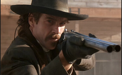
Frank MacLaury, while dragging himself down the street yells, “I've got you now”. Doc responds, “Blaze away! You're a daisy if you have”. Frank gets of a shot that caught Doc in the hip. It would be his last as Morgan fires a round that hits him in the head. All of this happens in less than a minute and would change perceptions of the American West forever – the event glamorized by Hollywood, time and time again.
Wyatt Earp movie promo of Doc Holliday. by Overland Frontier, on Flickr
At the end of the day three men lost their lives; Tom and Frank MacLaury and Billy Clanton. The town was split on who was at fault. Some thought the cowboys were murdered as is evident by the marker found in cemetery on the edge of town.
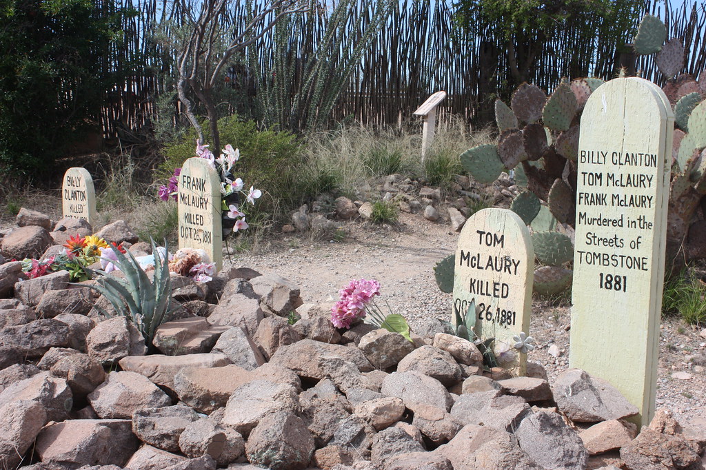
Graves of Billy Clanton, Frank & Tom McLaury killed in the Gunfight at OK Corral. by Overland Frontier, on Flickr
The cemetery was coined Boot Hill because so many interned there died with their boots on. The original hearse that delivered most of the coffins is now in the Bird Cage Museum.
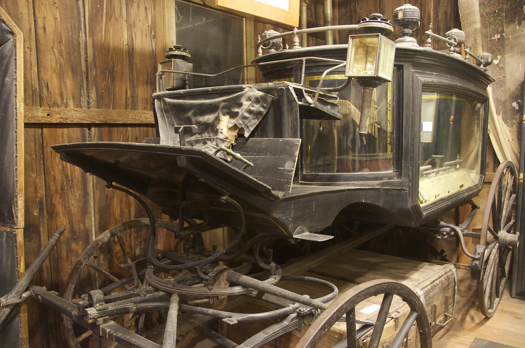
Tombstone Boot Hill Hearse, now on display in Bird Cage Museum. by Overland Frontier, on Flickr
The Gunfight at OK Corral would not be the last, nor would other violent deaths in town.
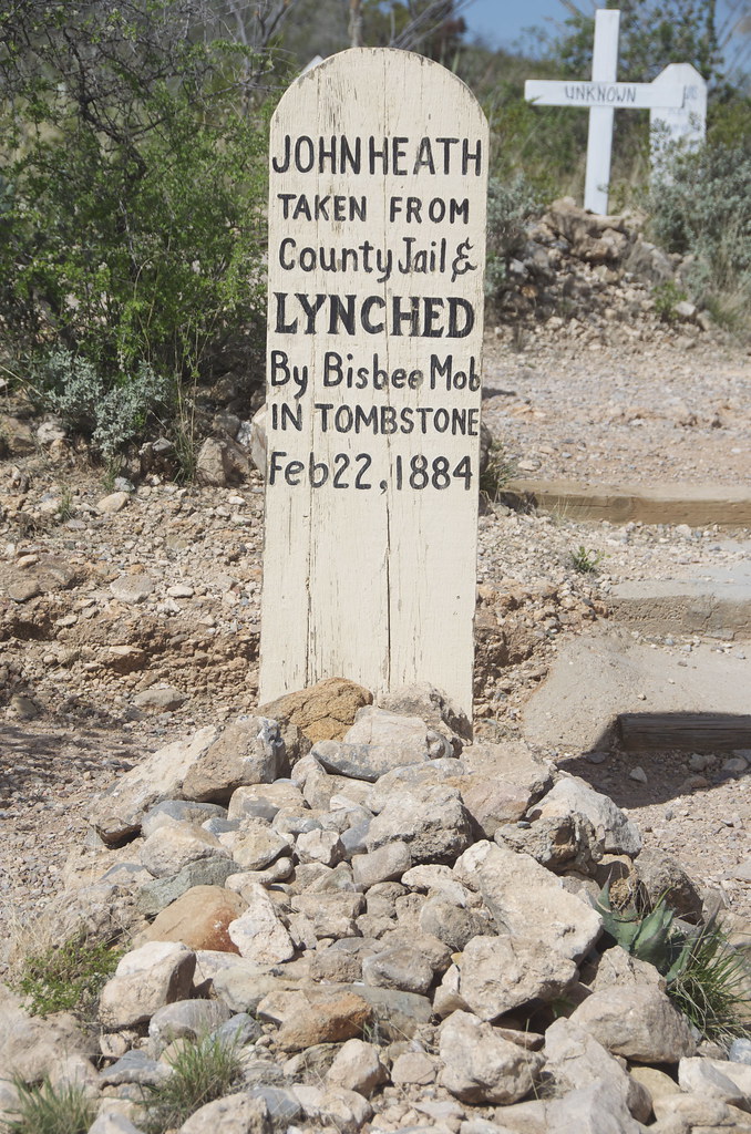
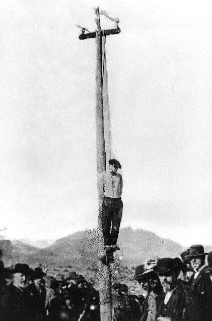
John Heath buried in Tombstone Boot Hill after being lynched in 1884. by Overland Frontier, on Flickr
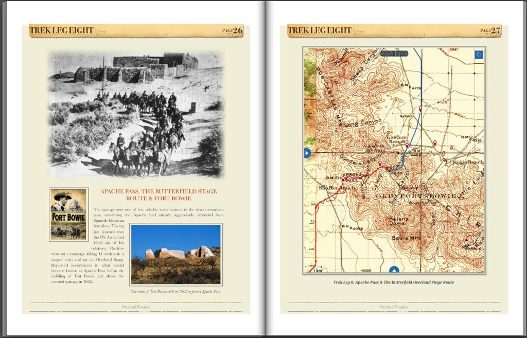
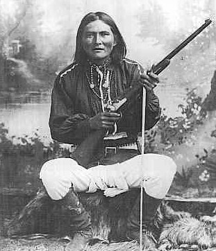
Outside of Tombstone, the war with the Apache carried on for over 15 years, with Cochise as War Chief, and another 10 years with Geronimo's renegades.
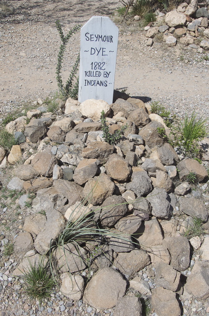
Seymore Dye 1882 Killed By Indians. by Overland Frontier, on Flickr
Be prepared for a commercial experience, the town survives as it has, since the early 1900's, on tourism.
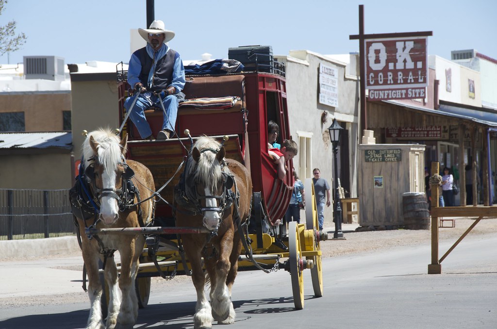
Stage coach leaving OK Corral in Tombstone. by Overland Frontier, on Flickr
Street performer working for donations.

Street performer in Tombstone. by Overland Frontier, on Flickr
My Overland Buddy from Oregon, Pete Getty was quick to get in the picture with the Earp's and Doc before the shootout reenactment.
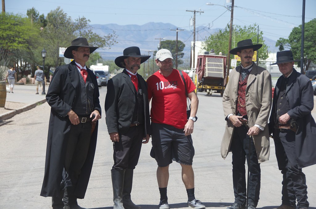
Pete Getty posing with Earp Brothers & Doc Holiday street performers in Tombstone. by Overland Frontier, on Flickr
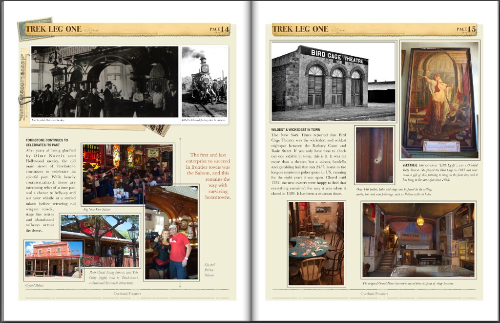
The first and last enterprise to succeed in frontier towns was the Saloon, and this remains the way with surviving boomtowns. Big Nose Kates Saloon was hopping.
Big Nose Kates Saloon. by Overland Frontier, on Flickr
Pete Getty took to Tombstone's culture and historical attractions.
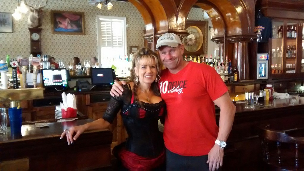
Pete Getty and Celeste of the Crystal Palace Saloon. by Overland Frontier, on Flickr
Grant Lovig, my rodeo and horseback excursion pal from Edmonton has a lot of experience in frontier saloons. It was great having him ride shotgun during our second scouting expedition.
Grant Lovig on the deck of Saloon in Tombstone by Overland Frontier, on Flickr
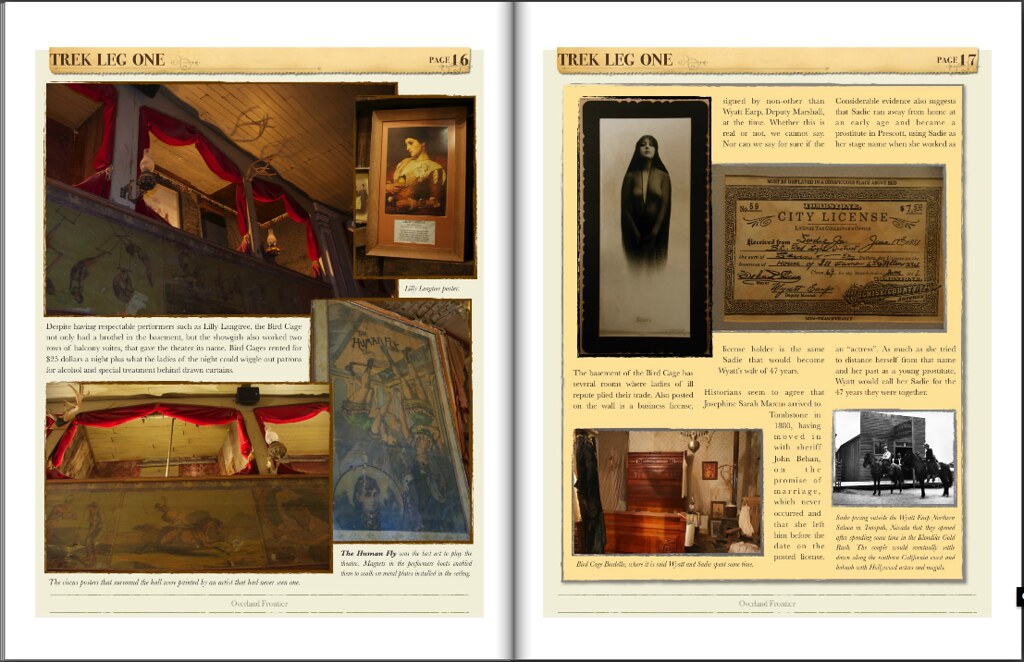
The New York Times reported that Bird Cage Theater was the wickedest and wildest nightspot between the Barbary Coast and Basin Street. If you only have time to check out one exhibit in town, this is it.
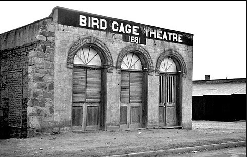
Bird Cage Theatre after it closed its doors in 1889. by Overland Frontier, on Flickr
Bird Cage was far more than a theater, but a saloon, bordello and gambling hall that ran 24/7. The original Grand Piano has never moved from its front-of-stage location.
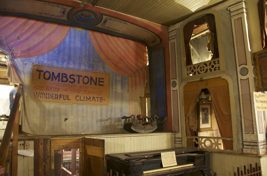
Bird Cage Theatre. by Overland Frontier, on Flickr
Despite having respectable performers such as Lilly Langtree, the Bird Cage not only had a brothel in the basement, but the showgirls also worked two rows of balcony suites, that gave the theater its name.
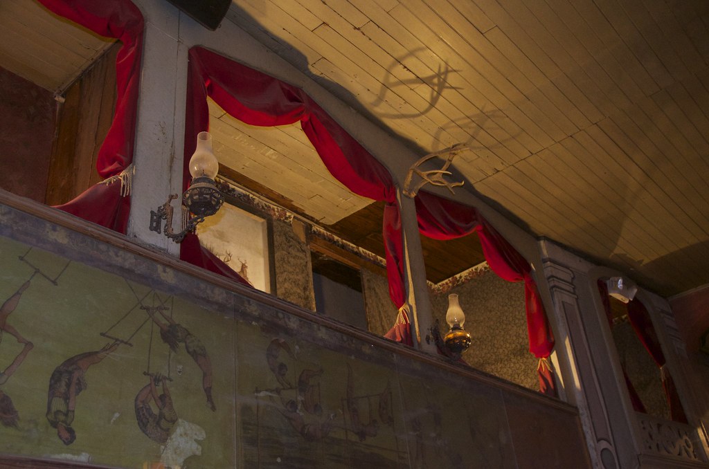
Two rows of balcony suites, gave the Bird Cage Theater its name, where ladies of Ill repute would work behind closed curtains. by Overland Frontier, on Flickr
Fatima, later known as “Little Egypt”, was a Oriental Belly Dancer. She played the Bird Cage in 1881 and later made a gift of this painting to hang in the front bar. It has hung in the same spot since 1882.
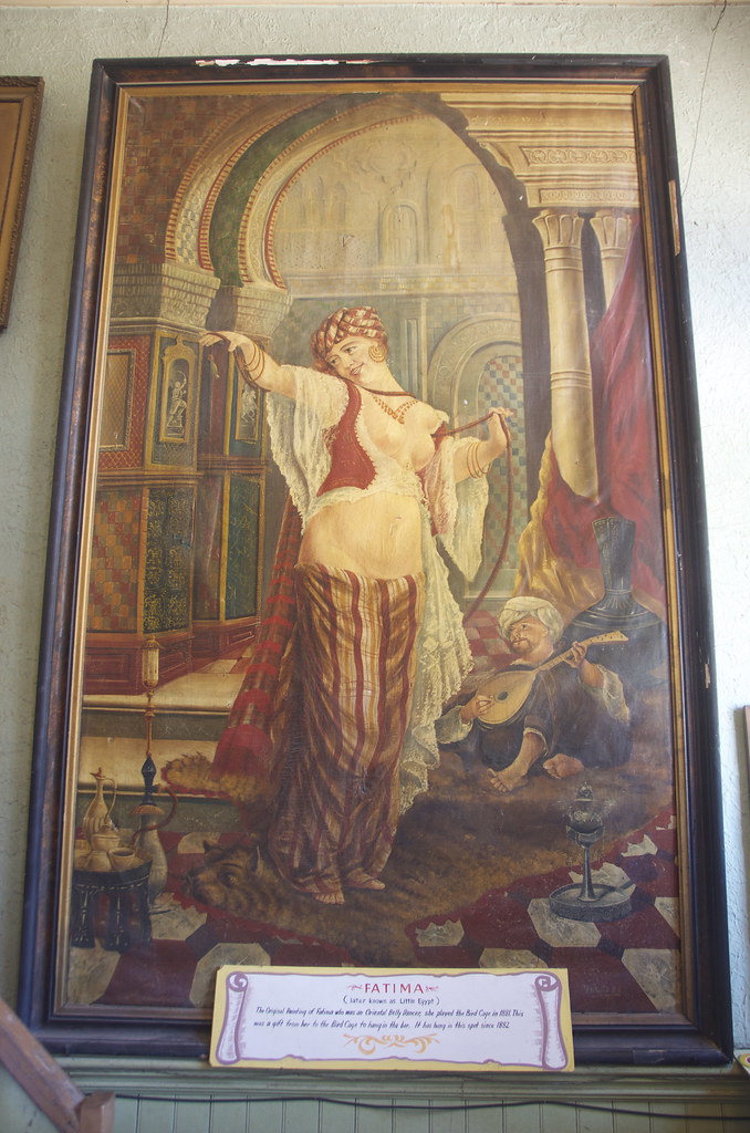
Fatima, later known as “Little Egypt”, a Oriental Belly Dancer painting in Bird Cage Saloon. by Overland Frontier, on Flickr
Private poker room-box seat right beside the stage.
Private poker table and box seat in Bird Cage Theatre. by Overland Frontier, on Flickr
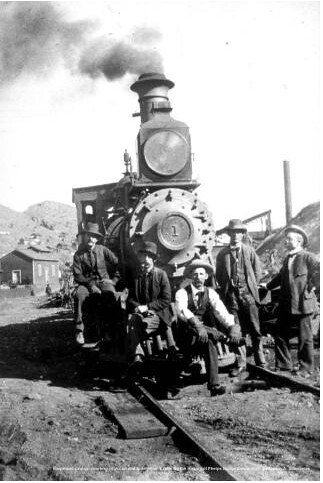
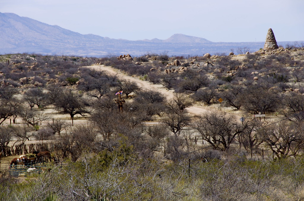
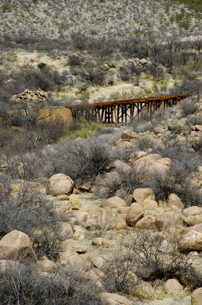
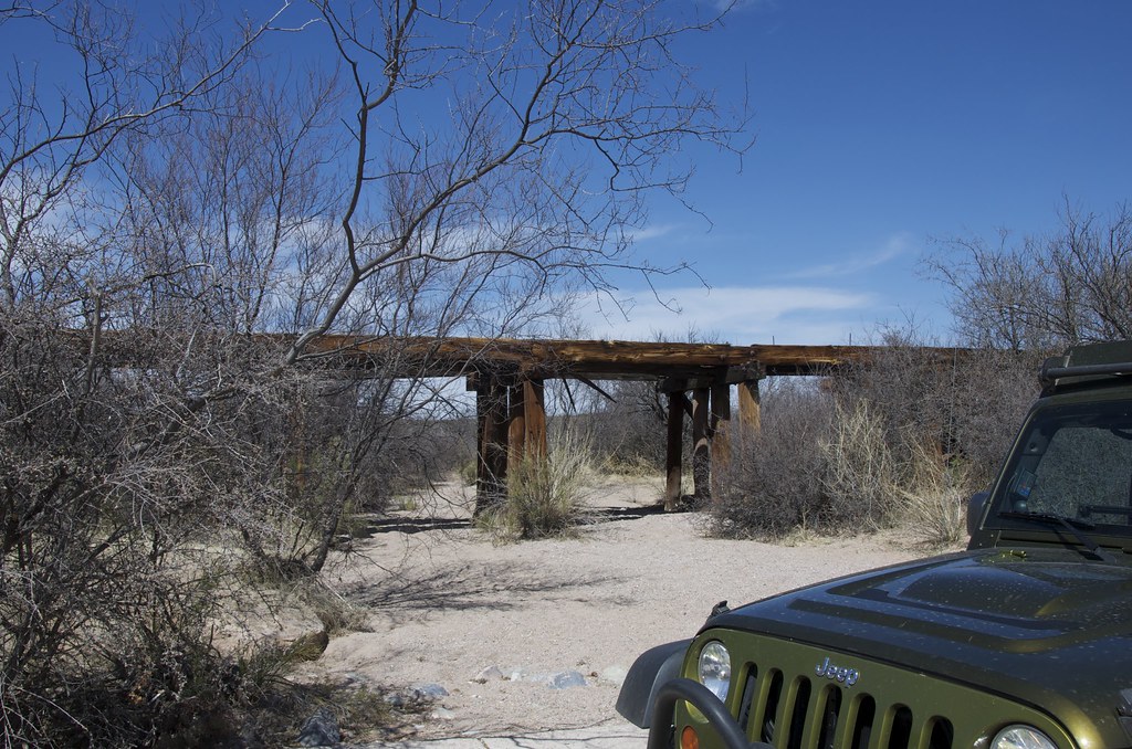
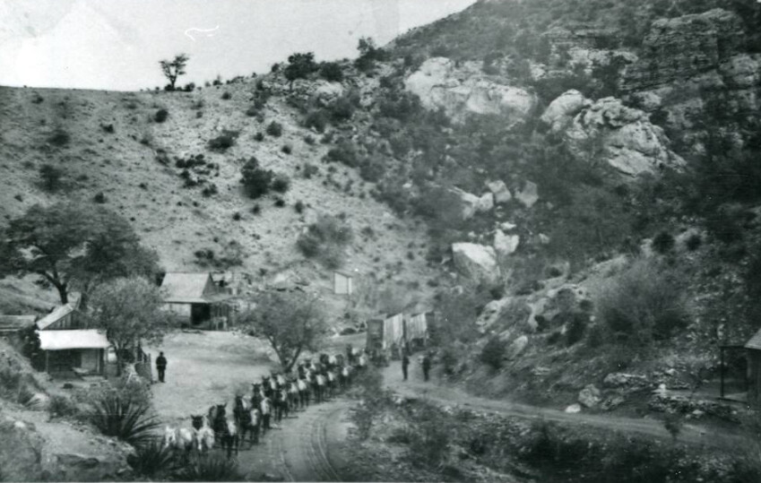
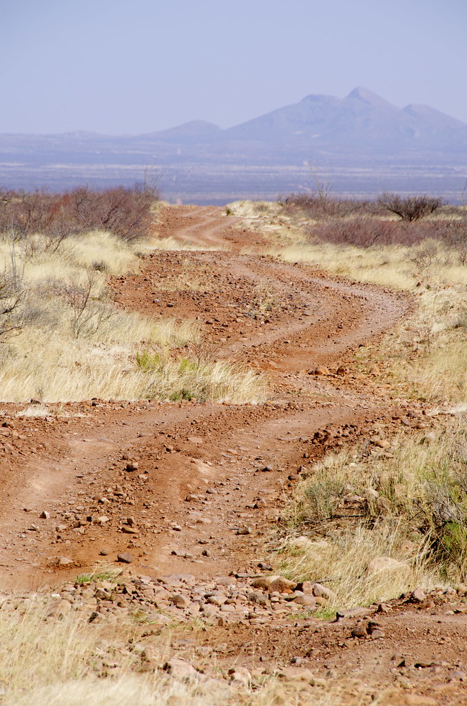
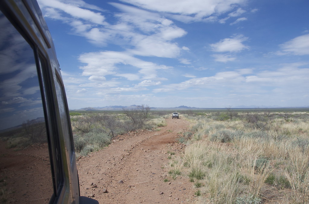
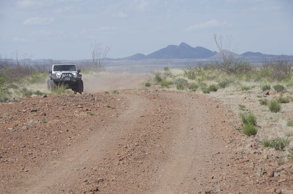
Join us for Leg 2, where we retrace the wagon-stage road that linked the first railway from Fairbanks and the abandoned El Paso & Southwestern Railway that parallels the wash that the Texas cowboy outlaw gang used to drive stolen cattle down to Frank and Tom MaClaury's ranch.MaClaury's ranch.
Arizona Territory Wild West Journey
The first sequential Arizona Overland Frontier Journey was planned to start a few miles above the Mexican-Arizona border near Bisbee so it could link directly to a Mexican Journey. But after reading the captivating New York Times Bestseller, “The Last Gunfight”, it became obvious that a documentary on the old West should start in Tombstone, where global fascination with the American Wild West was sparked when the Earp Brothers, Doc Holiday and the Texas Cowboys would square off at OK Corral, in 1881.
Leg 1: Tombstone & The Texas Cowboy Gunfight at OK Corral.
My first visit to Tombstone was not love at first sight. To be fair, it was a weekend. A quick glimpse of tourist crowds, rows of souvenir shops, I took a few photos and hightailed it out town, 23 miles south to explore the incredibly preserved frontier border town of Bisbee and the equally frozen-in-time 40's ghost town of Lowell, a great springboard to the abandoned High Lonesome Road to the Gleeson - Pearce Ghost Town Road.
As always, while scouting trails for Overland Frontier, we look to travel across Old West Frontiers rich with interesting trails, tales and relics. The book “The Last Gunfight” and subsequent research provided context and helped me see Tombstone differently as I walked the streets – this time on a weekday – a much better experience.
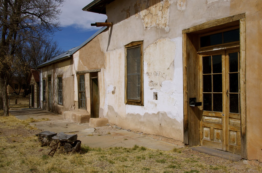
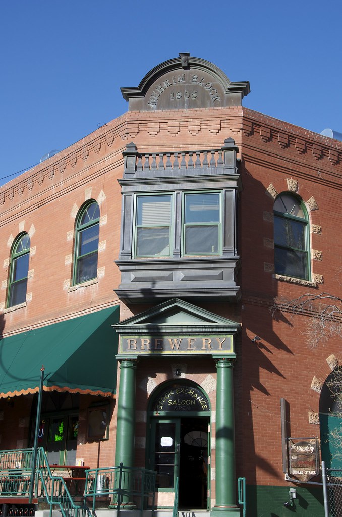
Tombstone, the ‘Town To Tough To Die', continues to celebrate its colorful past. The Bucket of Blood Saloon survives, one of 100 saloons that once lined the streets after the silver strike of 1877. Today it is the Longhorn Restaurant.
Bucket of Blood Saloon, later the renamed a more tourist friendly, Owl Hotel. by Overland Frontier, on Flickr
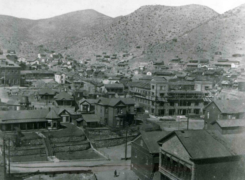
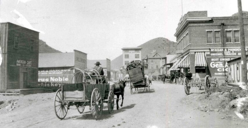
Drifting from one old West boomtown to another was not only common for prospectors, but also for gamblers, promoters, merchants and even lawman. The Earp brothers were no different and Tombstone was being taken over by Texas Cowboys outlaw gang.
Tombstone, AZ 1882. by Overland Frontier, on Flickr
The shine was coming off Dodge City. Virgil, the first of the Earp's to move his badge, won a high profile US Deputy Marshal position and had an office over the Crystal Palace Saloon. Soon brothers Wyatt, James and Morgan followed.
Crystal Palace, once the 2nd floor office of US Marshall Virgil Earp. by Overland Frontier, on Flickr
The real sign of a towns' importance was when Wells Fargo, the most respected shipper of valuables, opened an office in town. Timing could not have been better for Wyatt Earp. He was offered the job of “Shotgun Messenger”, a chance to prove himself for the Sheriff election.
Wells Fargo & Company Express office, now Doc Holidays Saloon. by Overland Frontier, on Flickr
While in Dodge City, the Earp's introduced a city ordinance where everyone had to check their guns as they arrived to town, which did not sit well with the Johnny Ringo, Curly Bill and the rest of the wild Texas Cowboys Gang that had gotten used to creating havoc in town, when not robbing stages or rustling cattle.
Tombstone Firearms Ordinance, a trend started in Dodge City. by Overland Frontier, on Flickr
Doc Holliday, a dentist by day, gambler and gunfighter by night, had endured himself with Wyatt after saving his life in a Texas gunfight. Wyatt urged Doc and his common law wife, a prostitute that had earned the nickname Big Nose Kate, to join him in Tombstone. The stage was set and all the players were in place.
Big Nose Kates Saloon, formerly the Grand Hotel in Tombstone. by Overland Frontier, on Flickr
The night before the legendary Gunfight at OK Corral, Ike Clanton in his usual drunken stupor, followed Wyatt to the Oriental Saloon, with his revolver in plain sight, to boldly advise Wyatt that he would be looking for the Earp's and Doc Holliday in the morning, where they would finally settle the feud.
Oriental Saloon in Tombstone. by Overland Frontier, on Flickr
What happens next continues to be retold today – brilliantly, I might add. The New York Times Bestseller, “The Last Gunfight” – a must read - the real story is even more captivating than the film versions. Yet the movie, Thombstone, was a great, albeit romantic portrayal – Val Kilmer, Sam Elliot, Kurt Russell and Bill Paxton just seemed to suit the roles they played.
Walking to gunfight promo scene from Tombstone movie. by Overland Frontier, on Flickr
“Throw up your hands, boys. I intend to disarm you.” What happened next differs greatly depending on who was telling the story”. Friends of the cowboys state Frank and Billy were in the process of raising their hands and Tom was reaching to open his coat to show he was unarmed. The Earp's recalled revolvers being cocked. Some say Wyatt was first to reach for the pistol stashed in his coat pocket, beating Frank to the draw, firing a shoot into his gut.
Gunfight promo scene from Wyatt Earp movie. by Overland Frontier, on Flickr
Frank MacLaury, while dragging himself down the street yells, “I've got you now”. Doc responds, “Blaze away! You're a daisy if you have”. Frank gets of a shot that caught Doc in the hip. It would be his last as Morgan fires a round that hits him in the head. All of this happens in less than a minute and would change perceptions of the American West forever – the event glamorized by Hollywood, time and time again.
Wyatt Earp movie promo of Doc Holliday. by Overland Frontier, on Flickr
At the end of the day three men lost their lives; Tom and Frank MacLaury and Billy Clanton. The town was split on who was at fault. Some thought the cowboys were murdered as is evident by the marker found in cemetery on the edge of town.
Graves of Billy Clanton, Frank & Tom McLaury killed in the Gunfight at OK Corral. by Overland Frontier, on Flickr
The cemetery was coined Boot Hill because so many interned there died with their boots on. The original hearse that delivered most of the coffins is now in the Bird Cage Museum.
Tombstone Boot Hill Hearse, now on display in Bird Cage Museum. by Overland Frontier, on Flickr
The Gunfight at OK Corral would not be the last, nor would other violent deaths in town.
John Heath buried in Tombstone Boot Hill after being lynched in 1884. by Overland Frontier, on Flickr
Outside of Tombstone, the war with the Apache carried on for over 15 years, with Cochise as War Chief, and another 10 years with Geronimo's renegades.
Seymore Dye 1882 Killed By Indians. by Overland Frontier, on Flickr
Be prepared for a commercial experience, the town survives as it has, since the early 1900's, on tourism.
Stage coach leaving OK Corral in Tombstone. by Overland Frontier, on Flickr
Street performer working for donations.
Street performer in Tombstone. by Overland Frontier, on Flickr
My Overland Buddy from Oregon, Pete Getty was quick to get in the picture with the Earp's and Doc before the shootout reenactment.
Pete Getty posing with Earp Brothers & Doc Holiday street performers in Tombstone. by Overland Frontier, on Flickr
The first and last enterprise to succeed in frontier towns was the Saloon, and this remains the way with surviving boomtowns. Big Nose Kates Saloon was hopping.
Big Nose Kates Saloon. by Overland Frontier, on Flickr
Pete Getty took to Tombstone's culture and historical attractions.
Pete Getty and Celeste of the Crystal Palace Saloon. by Overland Frontier, on Flickr
Grant Lovig, my rodeo and horseback excursion pal from Edmonton has a lot of experience in frontier saloons. It was great having him ride shotgun during our second scouting expedition.
Grant Lovig on the deck of Saloon in Tombstone by Overland Frontier, on Flickr
The New York Times reported that Bird Cage Theater was the wickedest and wildest nightspot between the Barbary Coast and Basin Street. If you only have time to check out one exhibit in town, this is it.
Bird Cage Theatre after it closed its doors in 1889. by Overland Frontier, on Flickr
Bird Cage was far more than a theater, but a saloon, bordello and gambling hall that ran 24/7. The original Grand Piano has never moved from its front-of-stage location.
Bird Cage Theatre. by Overland Frontier, on Flickr
Despite having respectable performers such as Lilly Langtree, the Bird Cage not only had a brothel in the basement, but the showgirls also worked two rows of balcony suites, that gave the theater its name.
Two rows of balcony suites, gave the Bird Cage Theater its name, where ladies of Ill repute would work behind closed curtains. by Overland Frontier, on Flickr
Fatima, later known as “Little Egypt”, was a Oriental Belly Dancer. She played the Bird Cage in 1881 and later made a gift of this painting to hang in the front bar. It has hung in the same spot since 1882.
Fatima, later known as “Little Egypt”, a Oriental Belly Dancer painting in Bird Cage Saloon. by Overland Frontier, on Flickr
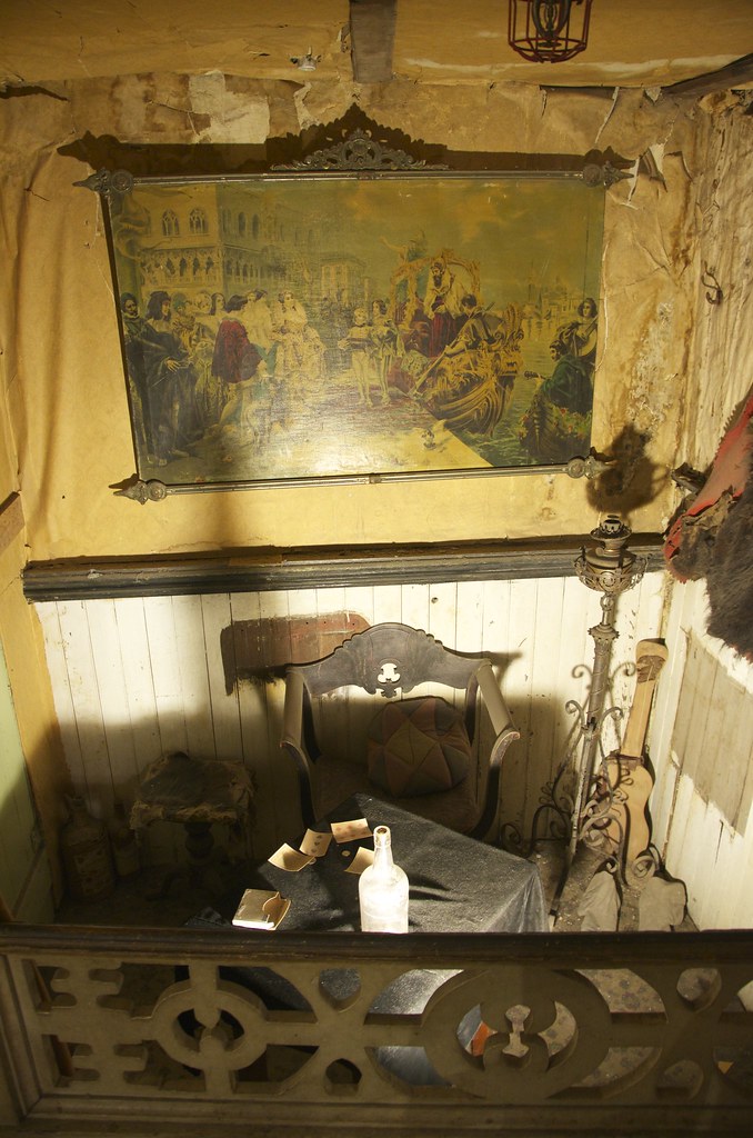
Private poker room-box seat right beside the stage.
Private poker table and box seat in Bird Cage Theatre. by Overland Frontier, on Flickr
Join us for Leg 2, where we retrace the wagon-stage road that linked the first railway from Fairbanks and the abandoned El Paso & Southwestern Railway that parallels the wash that the Texas cowboy outlaw gang used to drive stolen cattle down to Frank and Tom MaClaury's ranch.MaClaury's ranch.
Last edited: