ChrisInVT
Adventurer
Alternative To Google Earth / Best GPS Software
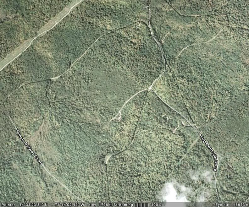
So I loaded Google Earth onto the computer in my truck yesterday and set out on a couple hundred mile trip towards Canada on a bunch of class IV roads. A couple hours into the trip, the relay for my cooling fan took a vacation and the truck overheated. I was carrying water, so this wasn't a problem - I just filled it up and bypassed the relay so the fan was always on. The problem was when we we decided it was time to head back because it was getting dark, and I didn't want to limp the truck any more than I had to.
I found out the hard way, no matter what anyone says Google Earth will NOT work if you don't have an internet connection. Not sure why they would even bother integrating GPS into it, if the software is online-based only. I even cached all the places we were planning on going like was stated in many places on the internet. But still a no-go. We ended up lost, and spent about 4 hours trying to find our way back.
I really liked Google Earth, but it's completely useless if you don't have an internet connection. I'd like something similar to Google Earth (Something that uses satellite imagery, so I can see the terrain) that uses GPS tracking, but actually works offline! I have Microsoft Streets & Trips 2007 - but that's almost completely useless for what I need (works great in the car though!).
Is there any software like this available?
Last edited: