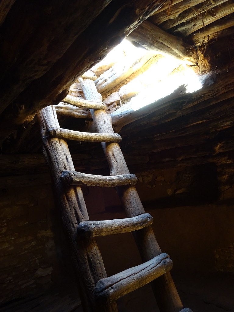
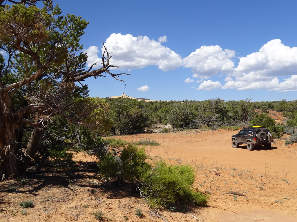
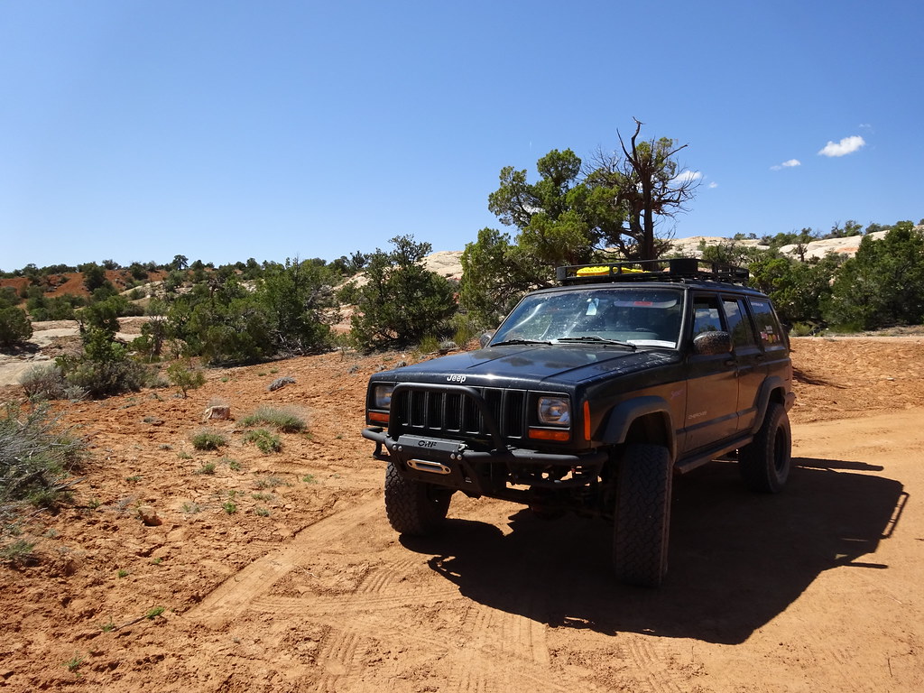
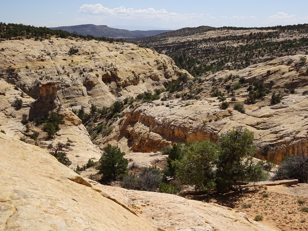
Old Ladies Overland Adventure Society, or Mom & Me Drive an XJ from NC to Utah

katuah

Adventurer
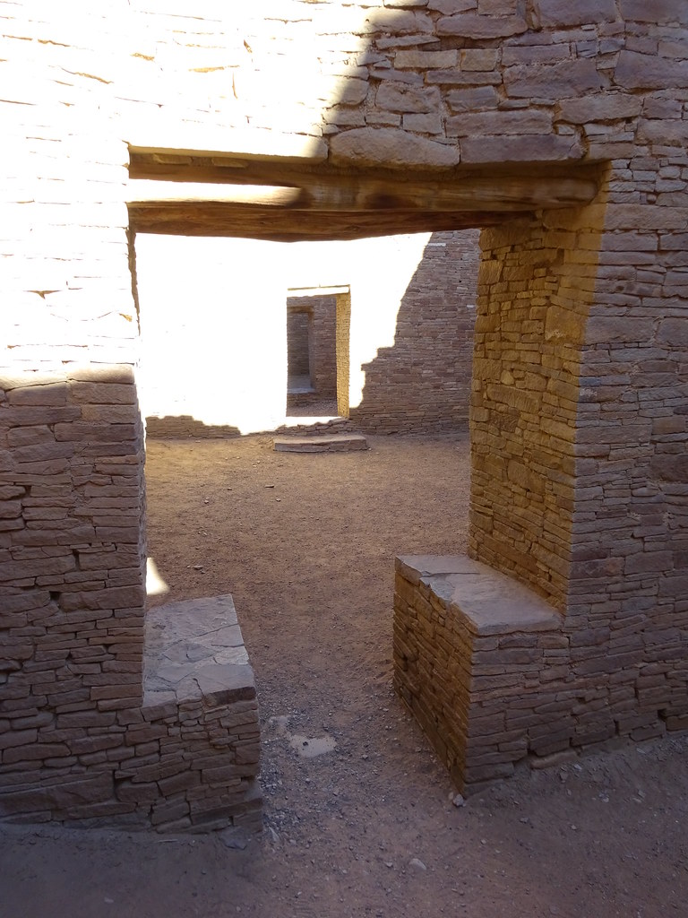
At long last, a trip report.

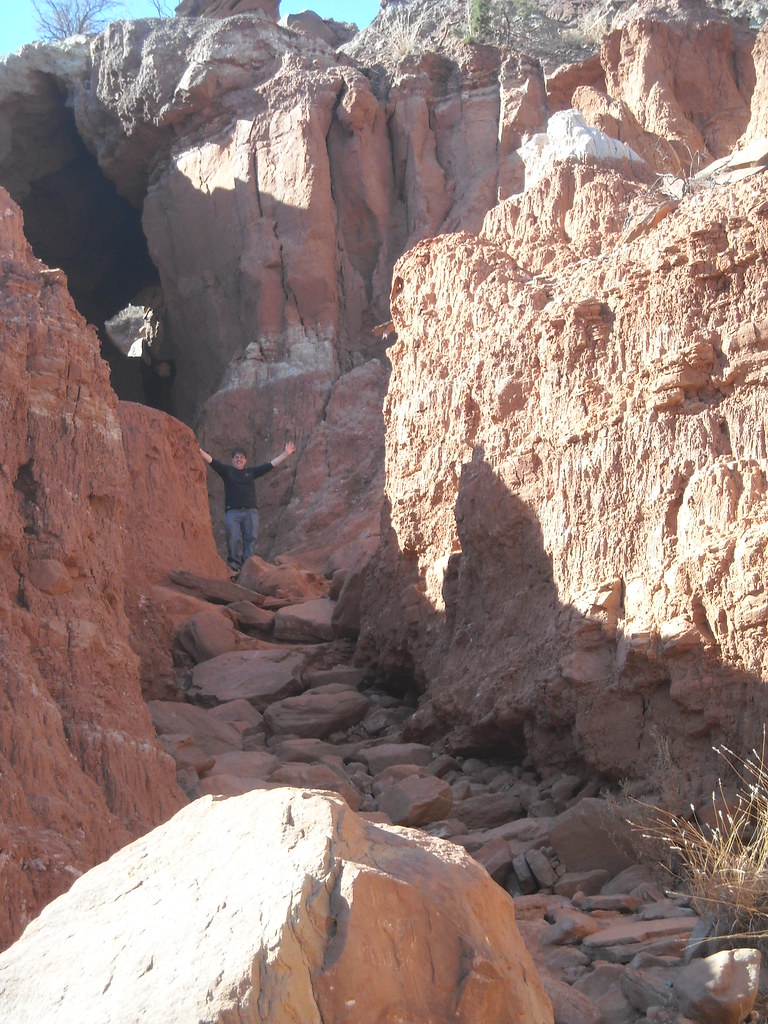
I felt like I should do this report not so much because of the places we went (most were not that far off the beaten track) or how we did it (we didn't glamp much at all or use lots of e$oteric gear), but rather because it illustrates the sort of actual "adventure" that many of us end up having instead of that idyllic perfect “expedition.” It turned out to be such an exercise in adapting and flexibility it was a real reminder that fun and adventure are in the eye of the beholder. Wherever you go, there you are.

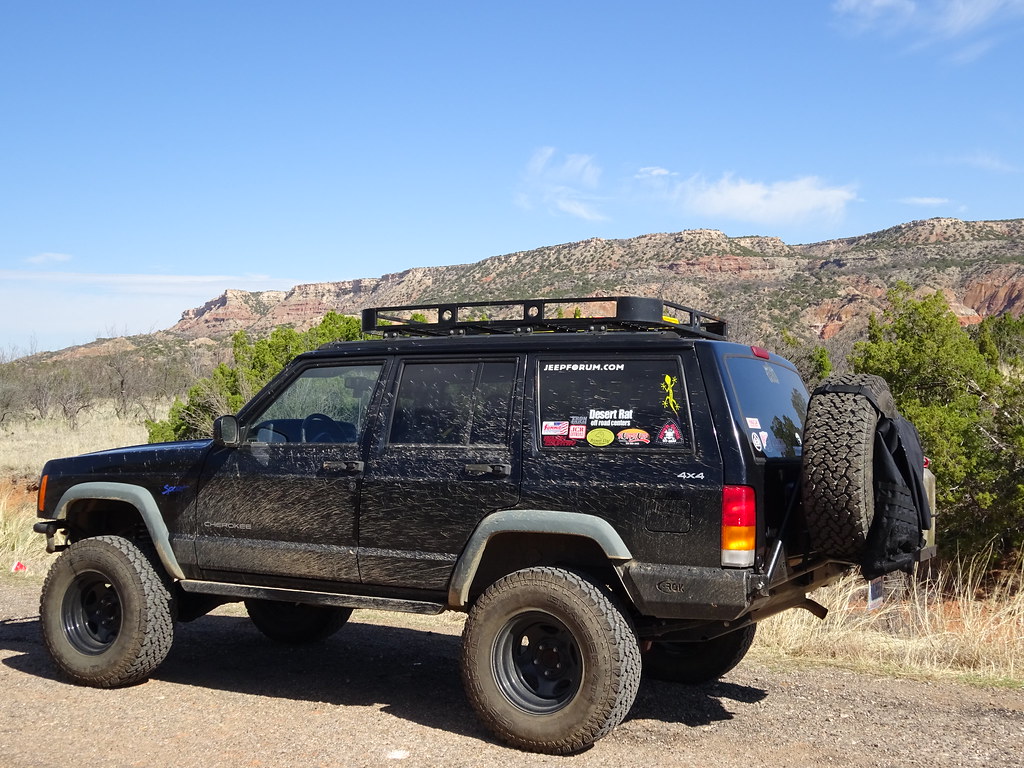
As most of you know if you read any of my pre-trip planning posts, what started out with the intention of being a mostly-solo trip morphed significantly when my 81-year-old mother decided she wanted to come along with me. I had to prep more, read more, plan more, and generally reduce the physical exertion necessary for each day to be a success…..
I'm getting ahead of myself. Let's just jump on in.

Day 1: Durham NC to Nashville TN.

Until we passed Asheville NC, the route west was a known quantity. I've driven to and from Asheville so many times I could not count. However, it was a great opportunity for me & mom to experiment with our travel rhythm. One of our first stops would end up setting a precedent for nearly the entire trip: getting a new map with every new state. Turns out my mom is also a map geek, she loves having a physical map in hand, to refer to at any point in the trip. So we made sure to hit every Welcome Center we passed.

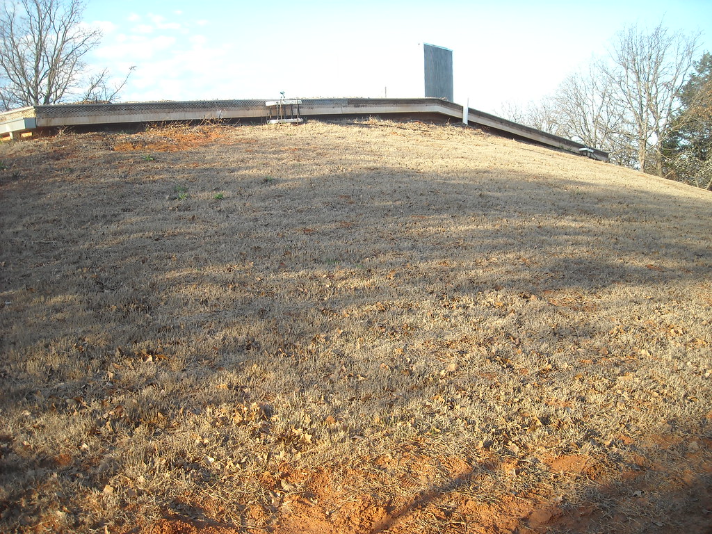
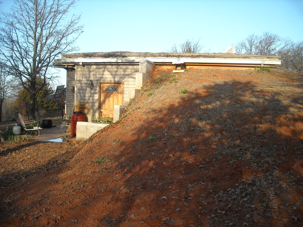
Tennessee's I-40 Welcome Center looks like an old log cabin from one direction. (Not so much the other sides, though). I am oddly fascinated by unique rest stops, but that's a different story.

DSC00032 by katuah, on Flickr

That night, I knew we'd be arriving late and leaving early, so I booked an AirBnB room in Nashville. AirBnB saved my sanity on this trip, especially when we had to adapt on the move later on. (It's certainly a different world from the days of the Woodall's Campground Directory and pay phones!)

Day 2: Nashville TN to Hot Springs AR, via Memphis TN.

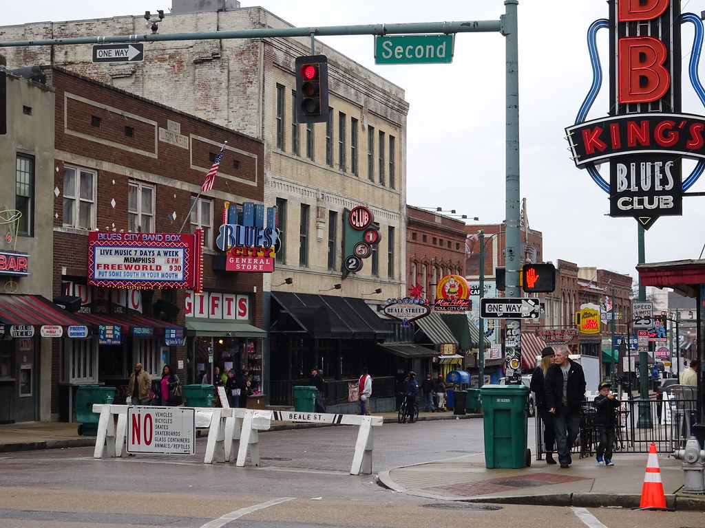
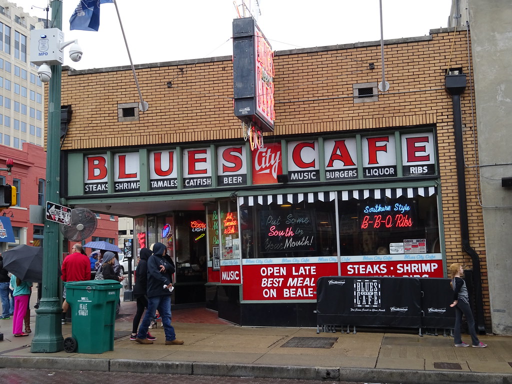
Even though it was a dreary rainy day, Memphis is so chock full of History we just couldn't drive thru without at least a few minutes of gawking. We hit the Welcome Center near the Pyramid (two kings?) and got a map of historic neighborhoods, drove around to see some sights, and went to eat on Beale Street. It's quite colorful there. I imagine it's quite colorful in a different way after 11pm.

DSC00039 by katuah, on Flickr

DSC00042 by katuah, on Flickr

DSC00046 by katuah, on Flickr

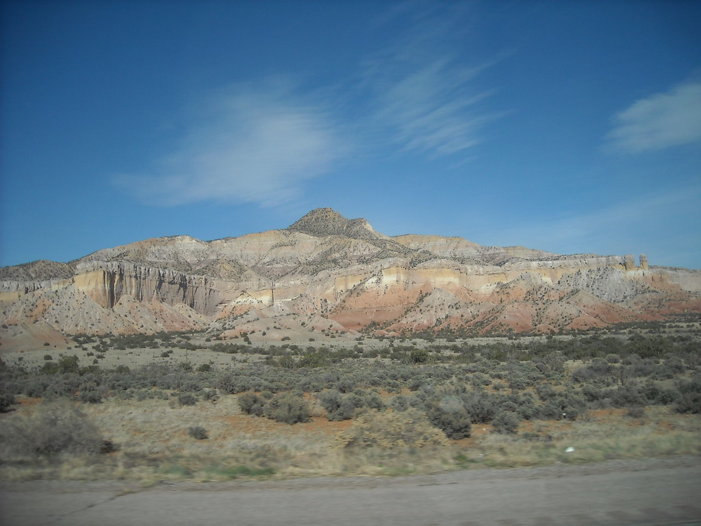
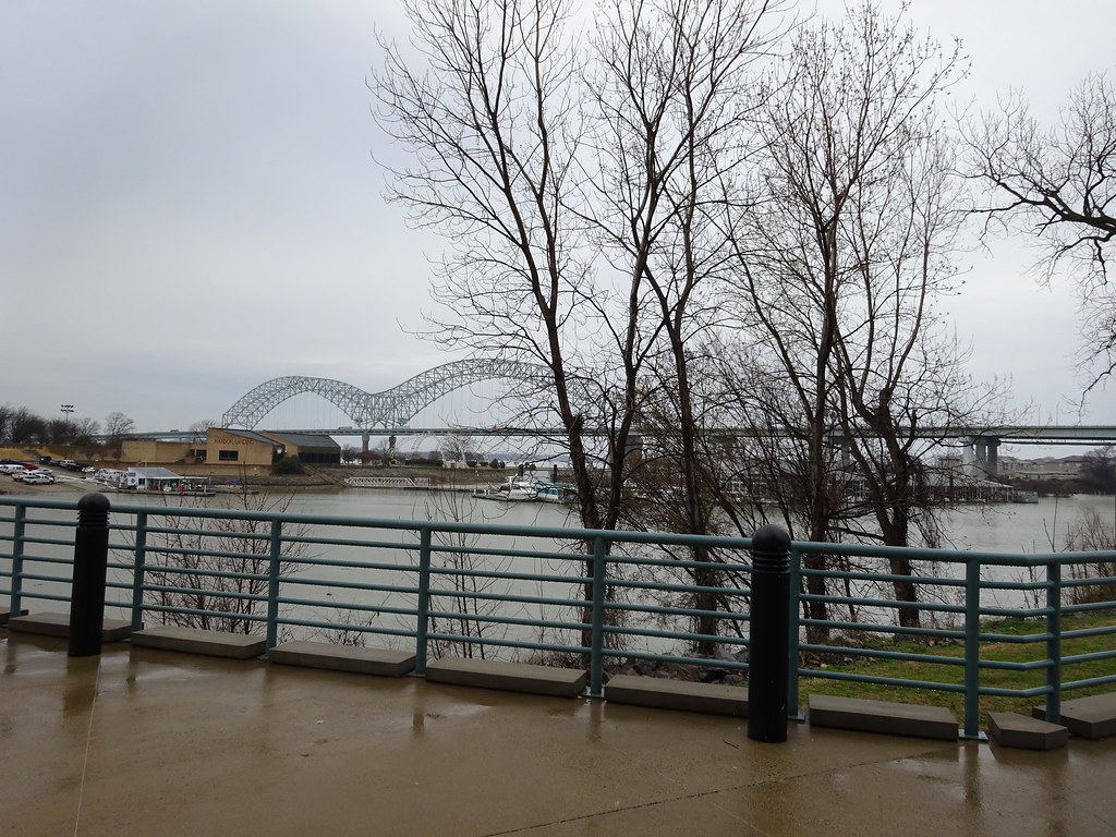
It felt rather momentous to cross the Mississippi. I couldn't get a good shot of the overhead “Welcome to Arkansas" sign on the bridge, so this will have to do.

DSC00036 by katuah, on Flickr

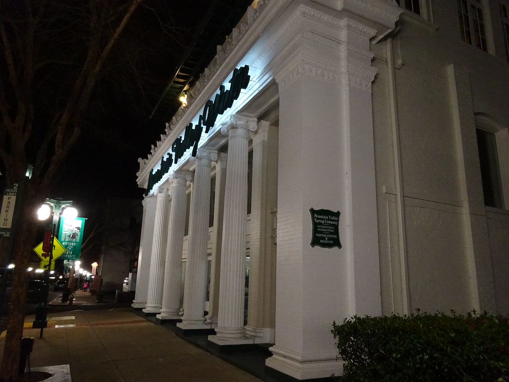
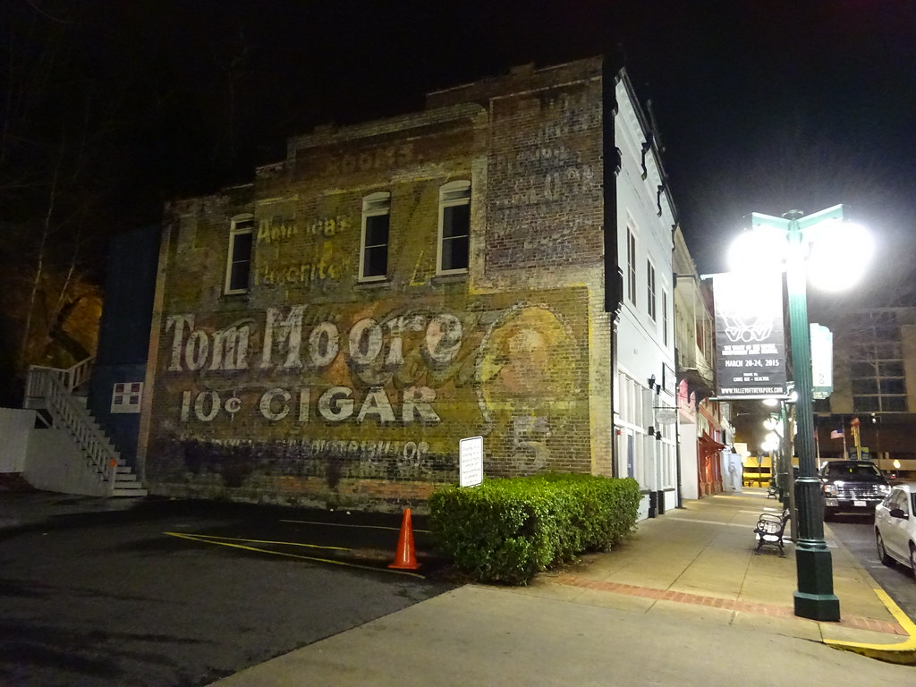
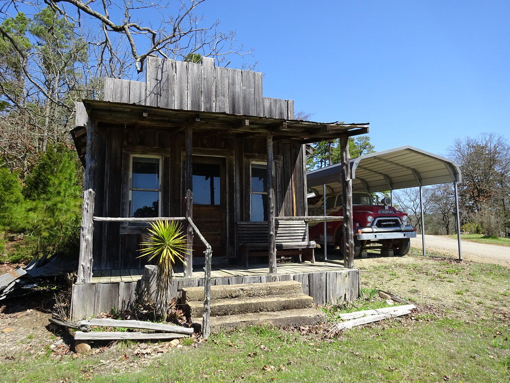
Our hosts in Nashville warned us that there wouldn't be much to see after Memphis except rice fields. I never knew there were rice fields in Arkansas. I barely knew they had mountains! Hot Springs was beautiful, I'm just sad that it had rained so much we didn't get into town until dark, and didn't get to experience much of the culture. The old downtown had a very odd vibe, perhaps due to several large buildings - former hotels? - looming dark and empty-eyed over a street with plenty of storefronts but absolutely no foot traffic. Maybe this was because of it being a Sunday night...

DSC00047 by katuah, on Flickr

DSC00049 by katuah, on Flickr

TBC..
 

katuah

Adventurer
Day 3: Hot Springs to Norman OK.

After days of interstate driving in the rain, dodging trucks and potholes, we needed something different. We’d originally planned to go all the way to Texas today, but we were both so exhausted by the previous two days that we’d already decided to change that. So, Day 3 we would go roaming in a general westerly direction, ambling around the Ouachitas, up over the Talimena Byway past Queen Wilhelmina State Park..

IMG_3974 by katuah, on Flickr

IMG_3975 by katuah, on Flickr

DSC00058 by katuah, on Flickr

...then down through Indian country, and finally stopping for the night in Norman OK. This was one of the best days of the trip, and also one of the strangest. There were the normal sorts of rural uniquity, like the Lum & Abner Museum:

DSC00065 by katuah, on Flickr

DSC00066 by katuah, on Flickr

DSC00062 by katuah, on Flickr

and the kajillion roadside crystal & gemstone shops:

DSC00052 by katuah, on Flickr

DSC00057 by katuah, on Flickr


...and the less normal, like a herd of camels in a field (yes, camels), and driving through areas where brushfires were burning away in the woods and roadside grasses, with no sign of anyone attending or even paying attention to the tree-high flames at all! THAT was supremely weird. Now I wish I’d gotten a photo of the flames, but at the time I was too freaked out to slow down, much less stop and take pictures! We also passed through a number of small towns that were just sad, with boarded-up storefronts lining the main streets. Unfortunately, this day wouldn’t be the last experience of that.

By the time we got tired, there were no campgrounds nearby. Fortunately, AirBnB turned up a truly awesome room in a partially-underground “earth bermed” house (no tornado alley worries here!) on a mini-farm.
When we pulled up, Mom said, “Where’s the house?”

April2015_download 834 by katuah, on Flickr

...but there really was a house!

April2015_download 829 by katuah, on Flickr

Dogs, chickens, goats, homemade blueberry muffins. Mmmmmm. Interesting day capped by a calm starry night.
 

katuah

Adventurer
Day 4: Norman to Palo Duro Canyon, TX

Oklahoma, where the wind goes sweeping down the plain - and tries to push your vehicle across traffic. Really unpleasant driving. At last we had entered the Great Plains I remembered from childhood trips cross-country: Flat flat flat, and windy.

It was thoroughly appropriate to find huge windmills dotting the plains.

DSC00088 by katuah, on Flickr

The Leaning (Water) Tower of Britten. I understand from friends who are touring musicians that this is sort of an infamous marker, kinda like the Gaffney Peach.

IMG_3987 by katuah, on Flickr

The Texas rest stop was built like a bunker; later I wondered if it was designed to be a storm shelter. Sadly, there was no one on duty to ask. There also was no state map available. There wasn’t even a map on the wall. Seriously minimalist here. Definitely a less than welcoming stop.

April2015_download 838 by katuah, on Flickr

Maybe the snakes eat maps, when they can’t get tourist.

IMG_3986 by katuah, on Flickr

Palo Duro was a redeeming way to end that day. It's a beautiful canyon, and with all the red rock it felt a lot like places much further west. I was surprised by how few people were there. In our campground, there was a family who looked as though they might be living in campgrounds rotationally, a “mystery tent” (occupants off elsewhere), and eventually a truck with some mountain bikers that arrived well after dark. Otherwise, we had the whole huge place to ourselves. After setting up camp, we had time for a few short hikes and a quick dinner before it got really dark.

IMG_3991 by katuah, on Flickr

April2015_download 851 by katuah, on Flickr

DSC00099 by katuah, on Flickr

Although it was chilly and we were both tired, we stayed up to star watch. Even with the light glow from Amarillo, the stars were terrific! I fell asleep with the distant sound of coyotes yipping as they danced along the canyon rim.
 

katuah

Adventurer
Day 5: Palo Duro to Santa Fe, NM.

We started the day with a bit more hiking in Palo Duro.

DSC00109 by katuah, on Flickr
DSC00111 by katuah, on Flickr
DSC00112 by katuah, on Flickr
DSC00113 by katuah, on Flickr


The trail map wasn’t the clearest, and it took a couple of false starts before we found the Big Cave. It was…somewhat big. Meh.

DSC00116 by katuah, on Flickr
DSC00120 by katuah, on Flickr
DSC00123 by katuah, on Flickr
April2015_download 859 by katuah, on Flickr

Obligatory "Jeep was here" shot:

DSC00129 by katuah, on Flickr

Heading out, I made the mistake of trying to skip Amarillo by taking backroads west from Palo Duro to I-40. I say "mistake" because of the feedlots. Acres and acres of feedlots, right beside the road. Thousands of cattle emitting literal rolling hills of dung. The smell was unreal. I didn’t take a picture because I was too busy driving as fast as I could without puking.

It was somewhere along this day where I started to notice The Noise. That being a popping sound emerging from the front end when I would turn sharply, such as in a parking lot. I was not sure exactly when it started, as it wasn't audible when on the highway at speed, so I figured I’d take a better look in Santa Fe.

New Mexico had a really nice visitors center - out in the middle of nowhere. I wondered where the staff lived. It was a long drive even from Tucumcari (home of the downtown windmill, for which I’m sure there must be a Story as to why it’s there - all the others we passed were well out away from towns).

IMG_4001 by katuah, on Flickr

April2015_download 868 by katuah, on Flickr

April2015_download 870 by katuah, on Flickr

Our Santa Fe lodging was a room in an old adobe near downtown, complete with kiva fireplace and latilla ceiling. A late run to Tomasina's provided me with what I'd been craving for months: true New Mexico Green Chile Enchiladas. I’ve never found decent ones east of the Mississippi.
 

katuah

Adventurer
Day 6: SFNM to Chaco.

Cold cold morning. I got up under the Jeep and tried to find the source of the popping noise, but the usual suspects all seemed fine. I tightened a bunch of bolts and hoped for the best, since I knew we had a rough road coming up - today our destination was Chaco Culture NHP. But first, I wanted to stop by a little-known but significant address: 109 East Palace. It’s still an unprepossessing nook tucked away in the back of an adobe patio courtyard… just like it was when it served as the gateway to the then-top-secret Los Alamos wartime nuclear research lab.

DSC00130 by katuah, on Flickr
DSC00132 by katuah, on Flickr

We also went by the native vendors row at the Governors’ Palace.

DSC00136 by katuah, on Flickr

DSC00134 by katuah, on Flickr

The drive to Chaco was lovely but quite remote, especially 96 beyond Abiquiu through Coyote. After several hours of tiny roads and little traffic, the harshness of 550 (formerly 666! Highway of the Beast!) with roaring semis and drill company trucks was jarring. And then the road out to Chaco itself was even more so. Corduroy dirt and gravel threatened to shake the Jeep to pieces. There was no “good” speed, just occasional rutted tracks to remind us that the roads turn to mud soup after a rain. Well, all the better to keep out the riffraff.

DSC00154 by katuah, on Flickr

Jaw-dropping. Amazing. Awe-inspiring. What can you say about Chaco that hasn’t already been said? We hiked through ruins until it was nearly dark.

DSC00160 by katuah, on Flickr
DSC00174 by katuah, on Flickr
DSC00175 by katuah, on Flickr
DSC00183 by katuah, on Flickr
DSC00185 by katuah, on Flickr

Our campsite had its own spiral petroglyph. There was a nice flat rock just beside the tent area that was a perfect viewing deck for late star watching.

IMG_4012 by katuah, on Flickr

Night sky here is just astonishing - Chaco is an International Dark Sky Park. Even if I’d had a camera with long exposure capability, I don’t think anything could have authentically captured the deep beauty of a sky like that. It’s no wonder the ancients viewed sky changes as portents of the gods.

However, all that glowing starry sky also meant CRAZY cold. I managed OK in multiple layers but Mom was pretty chilled and did not get much sleep, so I decided we should stick with getting indoor lodging for the next few nights at least. The camping thing was not working out as well as I'd hoped, but luckily Chaco was the only stop of the trip that *required* camping in the cold!
 

katuah

Adventurer
Day 7: Chaco to Cortez

Hiked Mom until her boot sole came off. Literally! We took the long walk out to see Kin Kletso, Casa Chiquita, and the petroglyphs, and my mom’s boot came apart on the way back. Considering they probably have had hundreds of trail miles all across the Four Corners, Maine, Virginia, and North Carolina on them since she bought them to go to Yellowstone in 2002, that’s pretty good. Buy Lowa’s, people.

DSC00189 by katuah, on Flickr
DSC00195 by katuah, on Flickr
DSC00196 by katuah, on Flickr
DSC00201 by katuah, on Flickr
DSC00204 by katuah, on Flickr

Petroglyphs, pretty far out there:

DSC00213 by katuah, on Flickr
DSC00217 by katuah, on Flickr
DSC00222 by katuah, on Flickr

This little fellow hung out with us for a fair while as we ate lunch.

DSC00229 by katuah, on Flickr

Mom changed to her backup walking shoes and we kept going on some shorter trails and one ranger-guided tour of Casa Rinconada, with the legendary GB Cornucopia. Well worth the time, with lots of fascinating detail about the solar and lunar alignments of the ruins.

DSC00284 by katuah, on Flickr
DSC00246 by katuah, on Flickr
DSC00250 by katuah, on Flickr
DSC00260 by katuah, on Flickr
DSC00271 by katuah, on Flickr
DSC00282 by katuah, on Flickr
DSC00275 by katuah, on Flickr

April2015_download 930 by katuah, on Flickr
DSC00287 by katuah, on Flickr

Fajada Butte, home of the sun dagger alignment stones...

April2015_download 946 by katuah, on Flickr

However, staying for the talk put us leaving very late. I had originally scheduled two nights in Chaco, which would have left some time to explore the Bisti Badlands on the way out, but our decision to stop in Oklahoma for a night earlier had chewed up that plan. I hit what I hoped was a fast route to Cortez, straight up to Durango and then across. We needed some food, but Durango has changed in the last ten years. Lots of severely overpriced bar-steraunts dominating the downtown. The mix of 420 street kids and the historic-hotel crowd felt pretty unpleasant, too. So instead, we hightailed it over the pass, Hesperus snow sparkling in the moonlight, and cooked some camp-style tacos for dinner at our stop for the night.
 

katuah

Adventurer
Day 8: Cortez to...well, Cortez-ish (McElmo Canyon).

Start day with more work on Jeep. More bolt tightening, more worry. The noise just will not go away. In two more days, we are scheduled to go into the Maze, and I’m starting to rethink the intelligence of this if I can’t find the source of the popping.

I really love Cortez, tiny as it is.

Woops, no time for dancing today.
IMG_4026 by katuah, on Flickr

First stop is the Anasazi Heritage Center, which doubles as the visitor center for Canyons of the Ancients. After chatting with the rangers, we amble up to the Dominguez Pueblo ruins on the hill behind the Center. They really had a great view!

DSC00299 by katuah, on Flickr

More green enchiladas were consumed for lunch. I recommend La Casita for your downscale Mexican food needs in Cortez.

IMG_4050 by katuah, on Flickr

Somehow, we managed to cruise right by the lower Sand Canyon trailhead, and by the time we realized, we were so close to Hovenweep we just went on over. It was a lovely afternoon for a stroll around the ruins.

DSC00318 by katuah, on Flickr
DSC00322 by katuah, on Flickr
DSC00343 by katuah, on Flickr
DSC00347 by katuah, on Flickr
DSC00360 by katuah, on Flickr

I very much still wanted to visit Sand Canyon and some other ruins in the Cortez area, but Mom was not excited about the plan of camping in cold weather again (predictions were at least as cold as Chaco), so we compromised and got a room in McElmo Canyon at Kelly Place. It’s a nice facility, beautiful location, even a small restored pueblo and kiva on the grounds, but it had a very odd vibe. I doubt I would ever want to stay there again, even if I did drool over the collection of documents and DVDs on regional archaeology and archaeoastronomy.

DSC00375 by katuah, on Flickr
DSC00374 by katuah, on Flickr
IMG_4038 by katuah, on Flickr
IMG_4035 by katuah, on Flickr
 

BurbanAZ

Explorer
Sounds like a fun trip, I always think the unexpected things keep everything interesting. Good trip report.
 

katuah

Adventurer
Day 9: Cortez to Bluff

This morning we easily find the Sand Canyon trailhead. I have no idea how we missed it the day before. Too busy talking I suppose!

DSC00376 by katuah, on Flickr

DSC00380 by katuah, on Flickr

Never seen this side of Sleeping Ute before:

DSC00382 by katuah, on Flickr

The entire region of Canyons of the Ancients is chock full of ruins of all sizes.

DSC00379 by katuah, on Flickr
DSC00383 by katuah, on Flickr
DSC00388 by katuah, on Flickr

My bucket list for the area included Saddlehorn Hamlet, a quite aesthetically charming little alcove ruin that was well worth the walk.

DSC00394 by katuah, on Flickr

I think the two of us were a bit of a hoot to all the well-outfitted recreationists we passed on this trail. Our Gore-Tex content was pretty low.

DSC00397 by katuah, on Flickr

For the afternoon, we bumped out the “high clearance” roads to the trailheads for Painted Hand Pueblo (part of CotA) and Cutthroat Castle (a Hovenweep outlier). Another "bucket list" stop, and one that I would not have attempted without the Jeep.

Mom was a little tired and elected to chill on the canyon rim and read while I wandered around the ruins.

DSC00406 by katuah, on Flickr

Painted Hand has to be one of the most photogenic ruins I've ever encountered, right up there with House on Fire.

DSC00411 by katuah, on Flickr
DSC00416 by katuah, on Flickr
DSC00434 by katuah, on Flickr

Do you see the hand?

DSC00422 by katuah, on Flickr

I had Cutthroat entirely to myself. Didn't pass a soul on the trail, although I thought I heard someone leaving up the other trail as I arrived, but never saw them. Ah, solitude.

DSC00451 by katuah, on Flickr
DSC00455 by katuah, on Flickr
DSC00458 by katuah, on Flickr
DSC00453 by katuah, on Flickr
DSC00469 by katuah, on Flickr
DSC00479 by katuah, on Flickr
DSC00476 by katuah, on Flickr

On the way to Bluff, we passed the historic Hatch Trading Post. Although it's been closed up tight the last few times I've been by, I can remember buying stuff in there many years ago.

DSC00482 by katuah, on Flickr

Our reservation for the night was at the famous Recapture Lodge in Bluff. This place is an old-school Four Corners institution. If you want 500 cable channels and a cu$hy mattress, go on down the street; but if a lobby collection of dogeared topos and hand-punched binders of obscure local info are more your speed, this is the place to be.

We finished the evening with Navajo fry bread pizza at the Twin Rocks Cafe. I have early-70's photos of my family standing under the twin rocks, directly in the spot where the cafe would be built decades later, so I always try to get another shot of them every time I pass through.

IMG_4060 by katuah, on Flickr
 

katuah

Adventurer
Day 10: Bluff

Once again, I started the day with Jeep work. By this point I’ve managed to narrow the general origin of the noise to the steering box area, but I can’t seem to pinpoint it any further. I have a tub of spare parts but I didn’t bring a spare steering box (lol), so going down the Flint Trail and out to the Dollhouse seemed more like courting disaster than “adventure.” Lacking any good options, I reluctantly called and cancelled our Maze permit. :-( Somebody was undoubtedly amazingly happy to get those spots. IF IT WAS YOU PLEASE POST PICS. :)

If we had to alter the trip to reduce our backcountry exposure, then this area is a great place to stick around. I have gobs of write-ups on trails and ruins, so we head off to some nearby spots. One place I had hoped to take my mom to had changed quite a lot since the last time I’d been there, with part of the trail now covered by a rockslide. Another location had directions that might have been great if we’d been on belay, but were quite precarious otherwise. We counted them both as nice leg-stretchers even if we didn’t get to see anything specific.

April2015_download 987 by katuah, on Flickr
DSC00485 by katuah, on Flickr
DSC00488 by katuah, on Flickr
April2015_download 991 by katuah, on Flickr
IMG_4055 by katuah, on Flickr

On the way back into town, we stopped by the Sand Island petroglyph panel on the San Juan. I’ve seen it before, but every time I notice something different.

DSC00493 by katuah, on Flickr
DSC00496 by katuah, on Flickr
DSC00500 by katuah, on Flickr
DSC00516 by katuah, on Flickr
DSC00517 by katuah, on Flickr
DSC00518 by katuah, on Flickr


After lunch Mom asked if we could go out to Monument Valley. Considering she hadn’t really made any other requests for the whole trip, it was clearly a yes. So that afternoon we spent being flat-out tourists. We poked around in Goulding’s and the visitor center gift shop, drove the valley loop road, took pictures, and generally goofed off.

DSC00524 by katuah, on Flickr
DSC00538 by katuah, on Flickr
DSC00553 by katuah, on Flickr
 

katuah

Adventurer
Day 11: Bluff to … Blanding, inadvertently.

This day was bookended by broken Jeep parts. It started off really well, when I finally found the source of the popping noises - a missing nut off an engine mount bolt. Apparently the torque of the steering was sufficient to cause popping from the bolt moving in the unibody frame. It was at an odd, hard-to-see location, and not what I had been expecting at all, but once I replaced it and torqued it down, no more popping. There was something a little spooky about not finding it until the day after I cancelled the Maze trip, which got even more Twilight Zone later that day - but I’ll get to that in a bit.

Getting that fixed inspired me to head us toward some of the more off-the-beaten path trails in the areas north of 95. With plans to camp either on Cedar Mesa or at Natural Bridges, we headed out of Bluff. I love this little town so much!

DSC00569 by katuah, on Flickr
DSC00575 by katuah, on Flickr
DSC00578 by katuah, on Flickr
DSC00581 by katuah, on Flickr

Since I wasn’t sure if we would be returning by this route or not, I decided to drop by Edge of the Cedars in Blanding. They have an amazing collection of artifacts. The restored kiva out back is another favorite spot in the area, too.

DSC00587 by katuah, on Flickr
DSC00588 by katuah, on Flickr
DSC00592 by katuah, on Flickr

After grabbing lunch in town, we headed out 95 and then up South Cottonwood toward the Manti-LaSal NF.

DSC00601 by katuah, on Flickr
DSC00595 by katuah, on Flickr

Our first hike was to view a little-known ruin, not on one of the main trails in the area. This time the directions I had were good, though, and the view was well worth a bit of route-finding (taking care to avoid the crypto crust).

DSC00598 by katuah, on Flickr
DSC00604 by katuah, on Flickr
DSC00606 by katuah, on Flickr
DSC00607 by katuah, on Flickr

We followed that up with a quick roadside jaunt at Butler Wash. Anybody into geocaching?

IMG_4068 by katuah, on Flickr

After that, we went up to see the Arch Canyon ruins. Easy walking, some nifty petroglyphs, fairly large ruin site.

DSC00614 by katuah, on Flickr
DSC00623 by katuah, on Flickr
DSC00626 by katuah, on Flickr
DSC00637 by katuah, on Flickr
DSC00633 by katuah, on Flickr
DSC00635 by katuah, on Flickr

I tried going on up through Arch Canyon for a bit, but the roadway sand near the creek crossings quickly got a lot deeper and seeing as I had no air compressor and no working winch, I decided not to push my luck and turned around before going too far.

IMG_4069 by katuah, on Flickr

By this time, it was getting pretty late, and I wanted to find a campsite before dark. We headed into Natural Bridges only to find the campground completely full, and storm clouds were looming on the horizon. We did a quick tour around the loop road to the overlooks, and then headed back off the mesa on 95.

DSC00647 by katuah, on Flickr
DSC00650 by katuah, on Flickr
DSC00652 by katuah, on Flickr

The view off Salvation Knoll was beautiful but the clouds were rolling in quickly. By this point, the wind was kicking up something fierce, and the last thing I wanted was to get stuck out one of the side roads in the rain, cos I know how all the clay up there turns to mud.

DSC00662 by katuah, on Flickr

We stopped to get gas and dinner in Blanding, intending to double back to Bluff for the night, but when we came out of the gas-station-restaurant, there was a puddle of fuel on the ground under my fuel tank, and drips trickling off the side. WTH!

Given that it was too dark to see much, on the verge of rain, and going anywhere else would take us further away from what few garages and/or parts stores existed in a 100-mile radius, we decided to hole up in the Blanding Super 8 for the night. I took great advantage of their free wi-fi to research exactly what all might be wrong with said fuel system, and was gratified to learn that it was almost certainly only an O-ring gasket at the top of the tank. Not great, to be sure, but it could be coped with. However, it would mean I could not fill up my tank completely for the rest of the trip.

In retrospect, this could have caused a serious issue if I had not caught it before going into Maze territory where I both needed maximum fuel range and had potential for placing the Jeep in many contorted slanting positions. It’s one unpleasant thing to have to walk back out of the Maze, but it would have been quite another to cope with a fuel fire all the way out there. I do carry an extinguisher, but I hope to never have to use it on my own rig!
 

katuah

Adventurer
day 12: Blanding to Moab: Easter Jeep Safari, Arches

With our Maze permits cancelled and the fuel tank O-ring leaking, it seemed to both of us that it might be a good idea to begin making our way home, rather than pushing too much further west into more remote terrain (we’d hoped to go out Hole-In-The-Rock Road and perhaps some other Escalante area trails, but oh well). A bit of last-minute research turned up a room in Moab, which seemed like a great compromise: the area is gorgeous, and if the Jeep continued to break parts, what better place to get help than Moab during Easter Jeep Safari?

I just couldn’t quite say goodbye to Cedar Mesa yet, though, so we made one last venture out to Lower Mule Canyon and Walnut Knob. Both were well worth the minor effort required.

If you look closely, you can see me on the top of the point, where I had just finished scrambling up. The ruins are on the ledge in the upper middle of the cliff.

April2015_download 1034 by katuah, on Flickr

Made it out on the ledge:

April2015_download 1035 by katuah, on Flickr

In the above shot, I was taking this picture, I believe:

DSC00678 by katuah, on Flickr

Looking the other way on the ledge:

DSC00682 by katuah, on Flickr

SE Utah: Not for the acrophobic:

DSC00683 by katuah, on Flickr

DSC00675 by katuah, on Flickr
DSC00664 by katuah, on Flickr

And up on the knob, great views and stupendous rock art:

IMG_4095 by katuah, on Flickr
DSC00692 by katuah, on Flickr
DSC00694 by katuah, on Flickr
DSC00701 by katuah, on Flickr
DSC00695 by katuah, on Flickr

Well hello there.

DSC00706 by katuah, on Flickr

Somewhere along the way this day was when I realized my Trasharoo was gone. I suppose it might have fallen off up in Arch Canyon the day before, but I really thought I recalled it being still on my spare tire when I was poking around under the gas tank at the Blanding Super 8. Most likely someone came by in the night and took it. Grrr.

Moab was, well, Moab. In April. Too many people, too many Jeeps, too many lines. We went to Arches because there’s just no place quite like it, but the crowds were thick and parking almost nonexistent.

DSC00711 by katuah, on Flickr
DSC00715 by katuah, on Flickr
DSC00712 by katuah, on Flickr

Rather than wait for a noisy table at Zaks, we got a pizza to go and took it back to our BnB to eat on the patio and watch the last of the sunset.
 

katuah

Adventurer
day 13: Canyonlands to Durango, better this time

Determined to enjoy ourselves even in all the crowds, we drove up to the Islands in the Sky for some short hikes and general gawking.

The obligatory stop at Mesa Arch...

DSC00728 by katuah, on Flickr

followed by a new-to-me trail to check out, yep, more ruins, tucked away on the backside of a knob.

DSC00748 by katuah, on Flickr

Watch for cairns (the good kind).
DSC00745 by katuah, on Flickr

DSC00754 by katuah, on Flickr
DSC00756 by katuah, on Flickr
DSC00762 by katuah, on Flickr
DSC00763 by katuah, on Flickr

And this is why they call it the White Rim Trail...

DSC00740 by katuah, on Flickr

DSC00742 by katuah, on Flickr

I considered taking the Shafer Trail or Long Canyon back to Moab, but there were SO many Jeeps out that I decided not to risk dealing with all the “traffic” on the narrower parts. After a quick stop in town for the obligatory souvenir or two, we aimed the Jeep eastward and bade a wistful farewell to Utah.

We stopped for the night at a little adobe casita on a mesa-top ranch south of Durango. I decided that evening that what I like about Durango isn’t the town so much as everything around it.

DSC00765 by katuah, on Flickr

Although it was crazy cold (hence why we weren’t camping), we bundled up and sat outside for a while, listening to the coyotes in the distance and the occasional whuffing of the ranch horses in the barn corral out back. The stars were, once again, magnificent.
 

katuah

Adventurer
day 14: Aztec Ruins to Santa Fe (repeat)

Woke to find the Jeep and everything around covered in a sparkling layer of frost. Beautiful! We rolled into Aztec with plenty of time to check out the Aztec Ruins NM. The reconstructed kiva was fascinating, as I recalled Craig Childs' discussion of it from “House of Rain.”

April2015_download 1084 by katuah, on Flickr

DSC00792 by katuah, on Flickr

DSC00786 by katuah, on Flickr

DSC00832 by katuah, on Flickr

DSC00827 by katuah, on Flickr

DSC00841 by katuah, on Flickr

The T-shaped doors were everywhere here:

DSC00799 by katuah, on Flickr
DSC00775 by katuah, on Flickr

As we paced through the rest of the structure, a jackrabbit emerged down in the non-reconstructed kiva. I had to wonder what kind of sign that might be.

DSC00788 by katuah, on Flickr

Reversing Childs' course, we continued southward to Salmon Ruins, which were not as polished but were just as complex and interesting.

April2015_download 1098 by katuah, on Flickr

April2015_download 1096 by katuah, on Flickr

April2015_download 1099 by katuah, on Flickr

April2015_download 1118 by katuah, on Flickr

Our return route took us across the northern New Mexico “resource range” - there was pretty much nothing out here except every few miles there would be a new road out to a wellhead. And drilling company trucks, in absurd quantity. Not sure what exactly they were rigged up for, but they all were large white pickups with a variety of boxes, accessories, and antennae that were clearly of a type. I counted over 50 of these trucks on the 70-ish miles between Bloomfield and Chama, whereas I think we only passed 2 or 3 passenger vehicles, one tanker semi, and one regular box semi. Mom commented that they were driving so much that they were using up all the fuel they were pumping!

From Chama we dropped down through the forest into some supremely gorgeous Georgia O'Keefe territory, cliffs of vivid orange and white, and eventually Cerro Pedernal rising over it all. Back in Santa Fe we spent another peaceful night sheltered by old adobe.

April2015_download 1123 by katuah, on Flickr

IMG_4109 by katuah, on Flickr
 
Last edited:

Forum statistics

Threads
185,911
Messages
2,879,517
Members
225,497
Latest member
WonaWarrior
Top