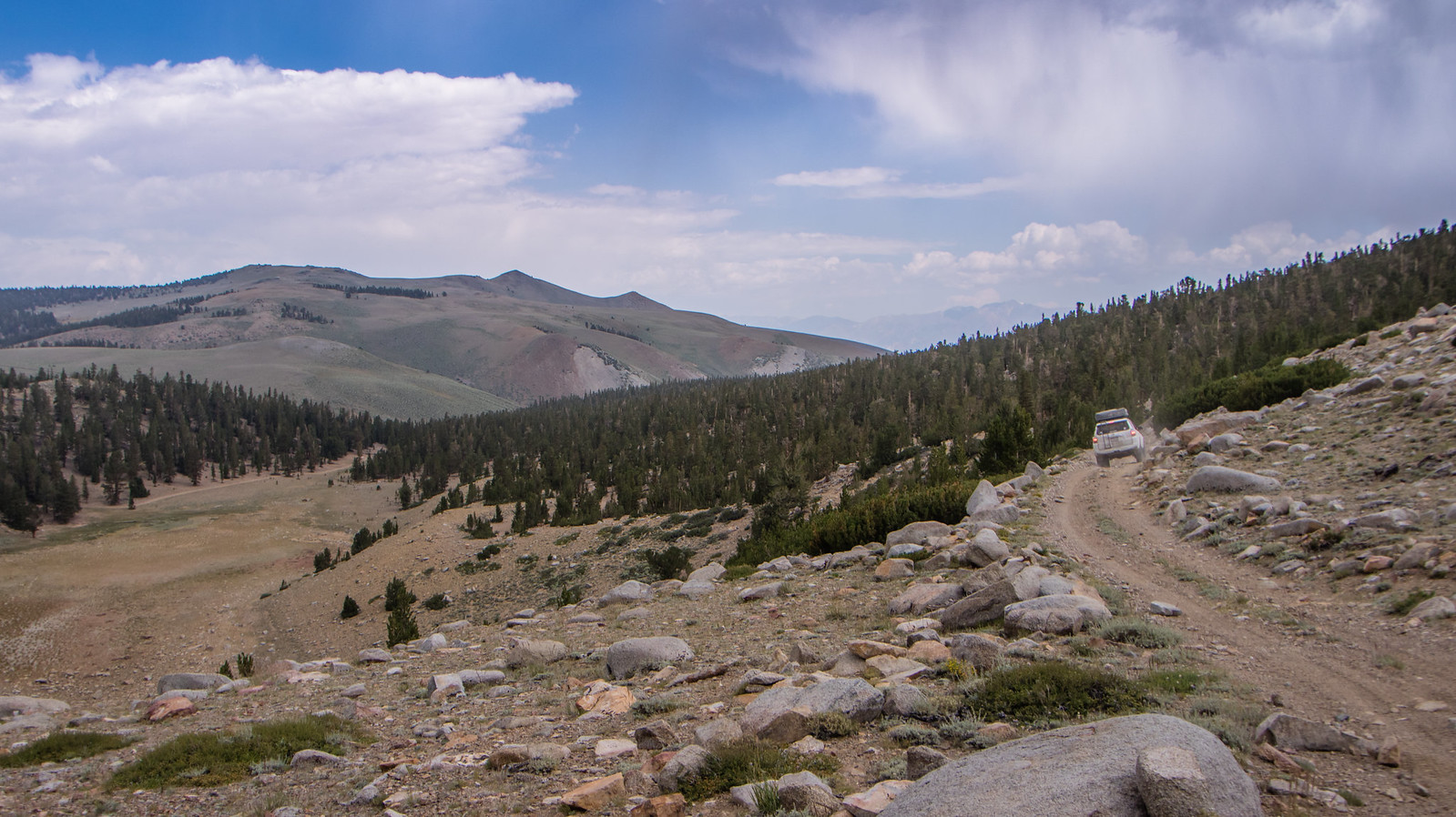
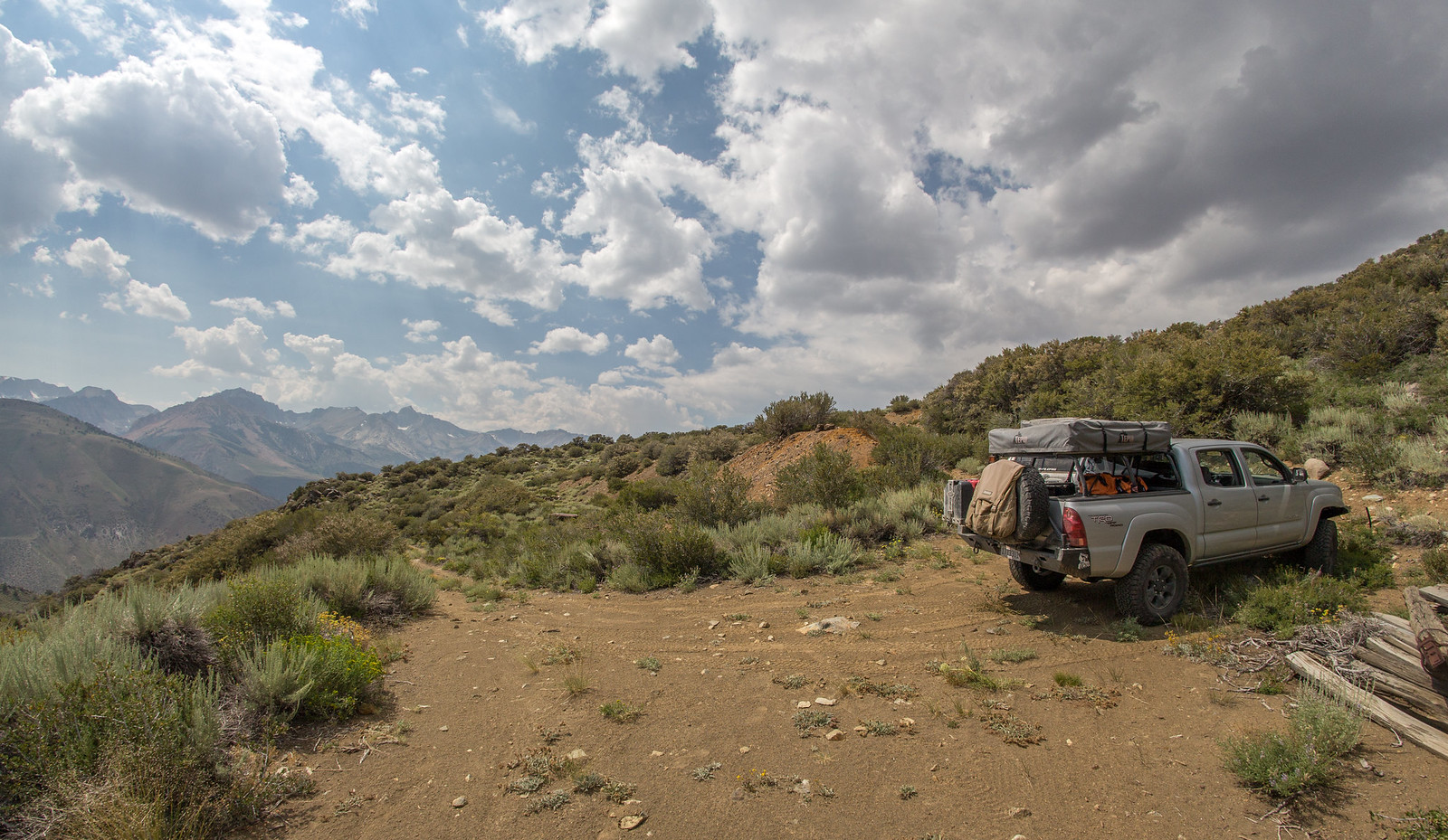
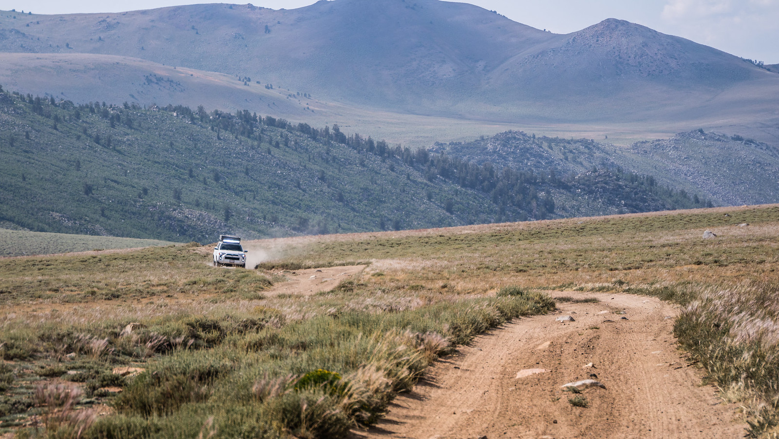
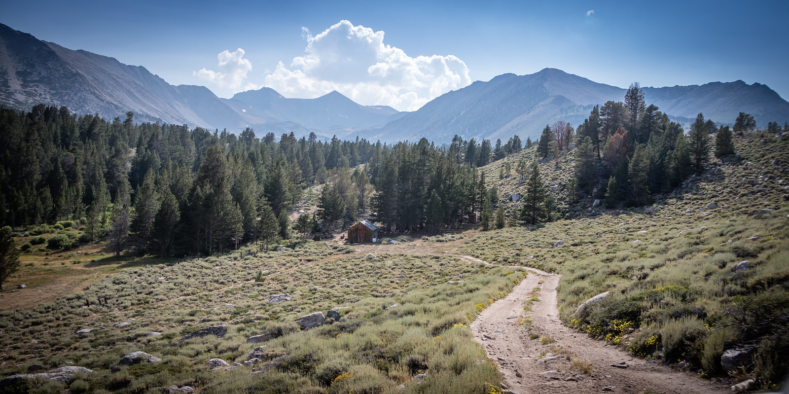
ExploreDesert: Alabama Hills - Laurel Lakes - Mono Lake - Bodie - Coyote Flats

echo7tango

Road tripping, overlanding
echo7tango - I'm jealous! Hope you have fun and enjoy it as much as we did.

We did have fun, yes. First let me say that Google Maps Offline is great - just download ahead of time, and on the iPad in the middle of nowhere I have access to good maps, with my location on them. This was my first time using it, and I thought it worked well. Does anyone else have their offline map tips to share?

1MK your pictures are fantastic, thank you! I miss my DSLR, it's tango uniform right now and I really need to get it fixed, or buy a new one. For now though, you get my iPhone pictures, lucky you guys.

Sonora Pass is beautiful and dramatic. Not too many places have a 26% grade. This was our 3rd time over Sonora Pass in 3 weeks (we took Tioga on the way home).

Snap1.jpg


Selfie at Bodie. It was a perfect day, not like the thunderstorm 1MK had.

Snap2.jpg


Leaving Bodie we wanted to go north around Bodie Bluff, but the road to Tailings Pond was locked. We continued to the CA-NV state line before turning around. This humble (and shot up) sign says you're entering NV.

Snap3.jpg


We took Cottonwood Canyon Rd south out of Bodie, to Mono Lake. We then took Dobie Meadows Rd along the north of Mono Lake. On the north side, in the middle of nowhere, was this 'round rock house' structure, whatever it's called. It was interesting.

Snap4.jpg

Snap5.jpg

Snap6.jpg

Snap7.jpg

Its location is here - in satellite view you can zoom in and see it:
https://maps.google.com/?q=38.142567,-118.953524&hl=en-US&gl=us

It was pretty interesting, almost like an above-ground well of some sort. In the middle of nowhere.


Continuing around on Dobie Meadows Road / 3N01, around the east end of Mono Lake the road got very soft and silty. Very fine dirt and dust, like chalk dust. In some areas, the dirt road was very loose.

Snap10.jpg
 

Attachments

  • IMG_1749 2016-08-12 Sonora Pass 26 grade vTrip2016-08-12 (3).jpg
    IMG_1749 2016-08-12 Sonora Pass 26 grade vTrip2016-08-12 (3).jpg
    559.6 KB · Views: 10
  • IMG_1758 2016-08-14 Bodie vTrip2016-08-12 (2).jpg
    IMG_1758 2016-08-14 Bodie vTrip2016-08-12 (2).jpg
    512.4 KB · Views: 14

echo7tango

Road tripping, overlanding
Continued...

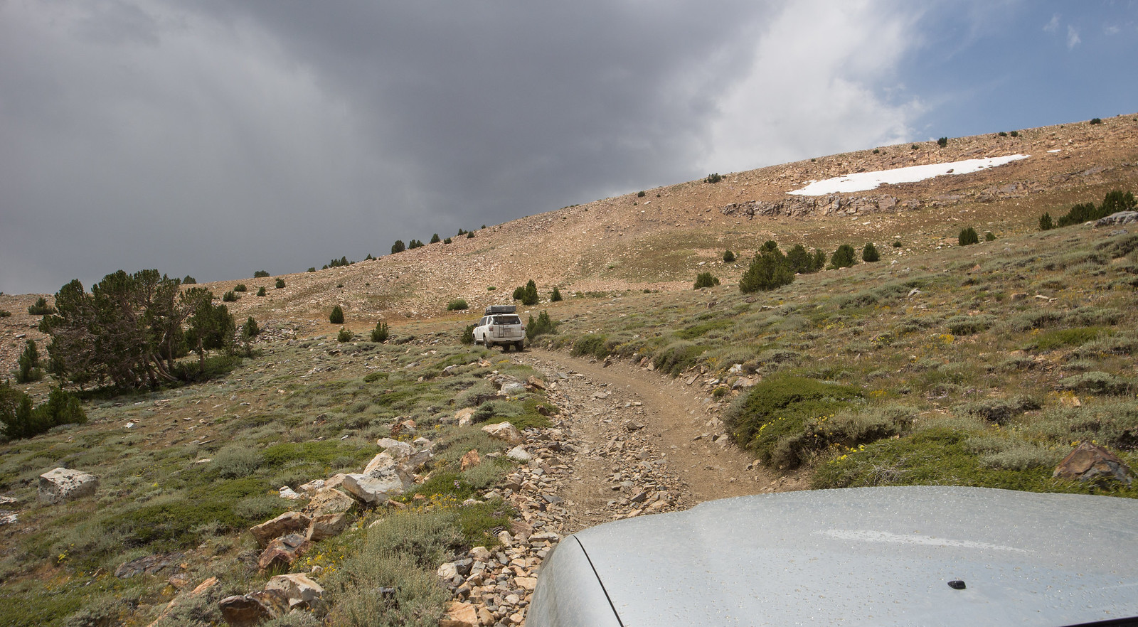
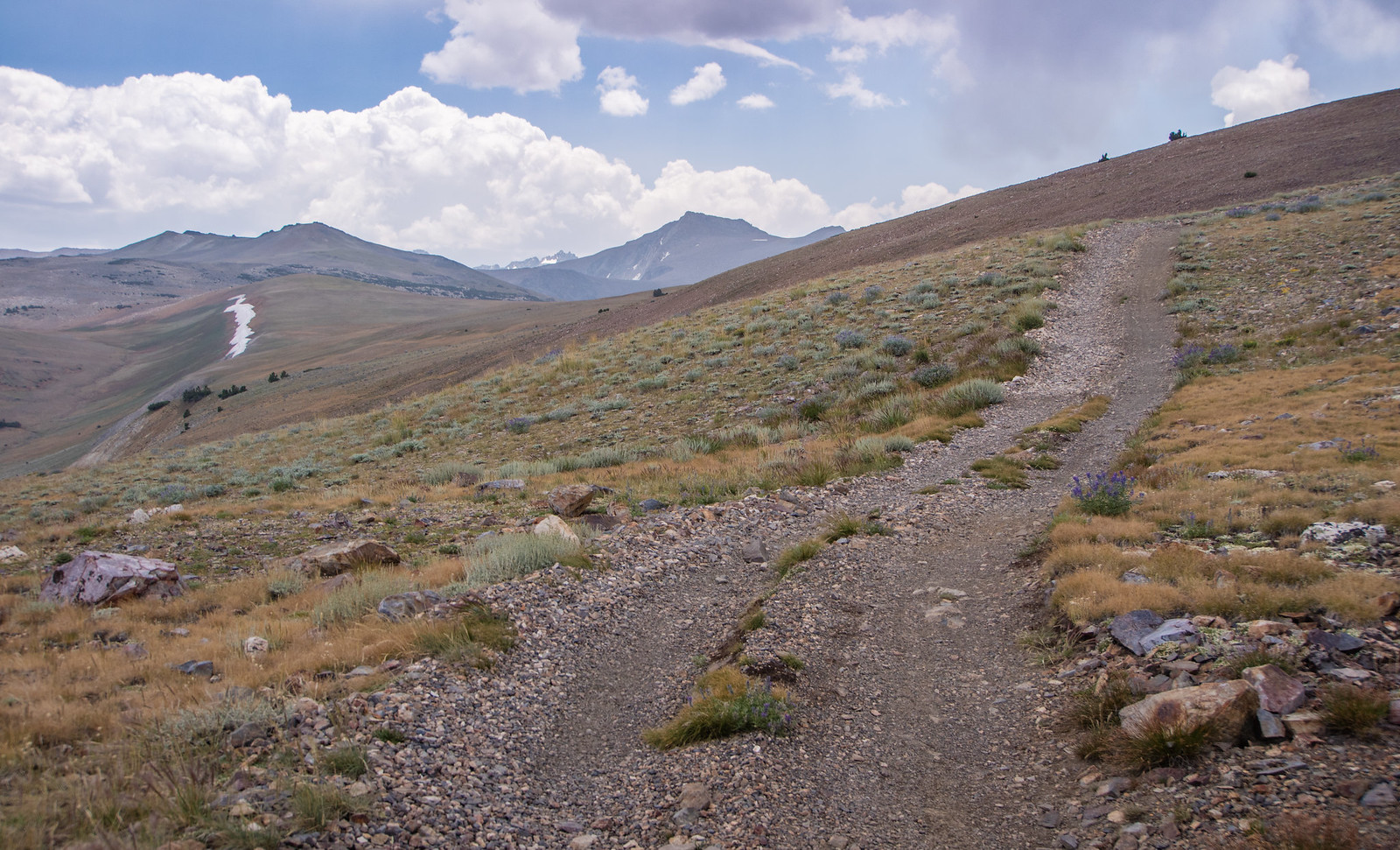
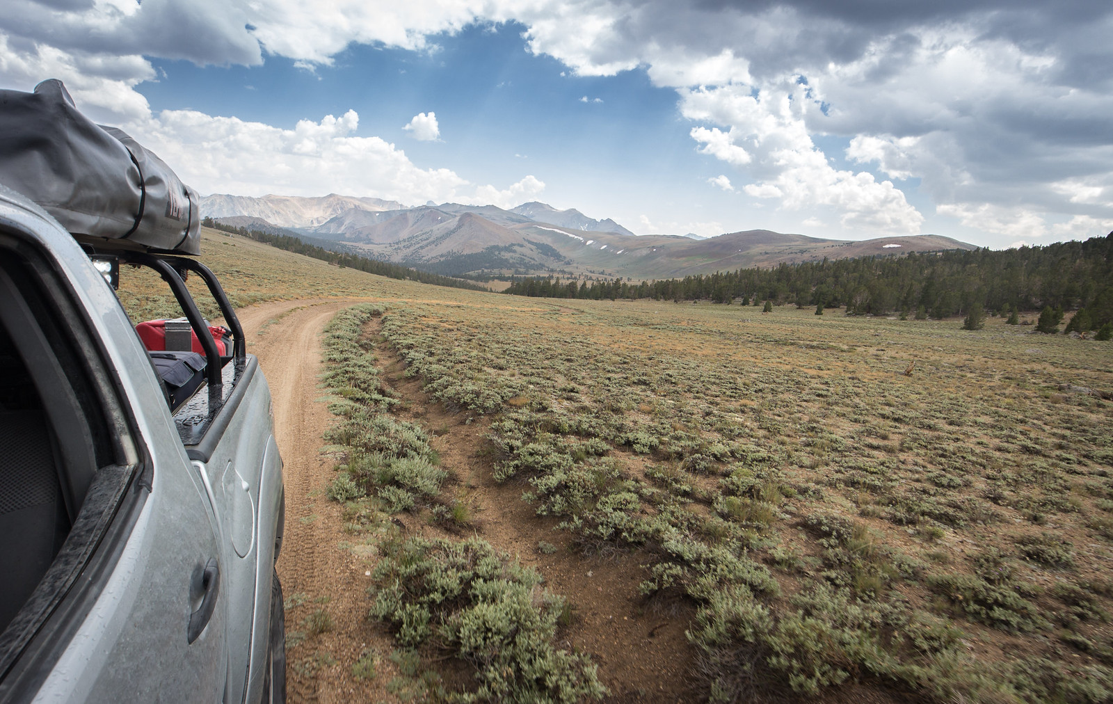
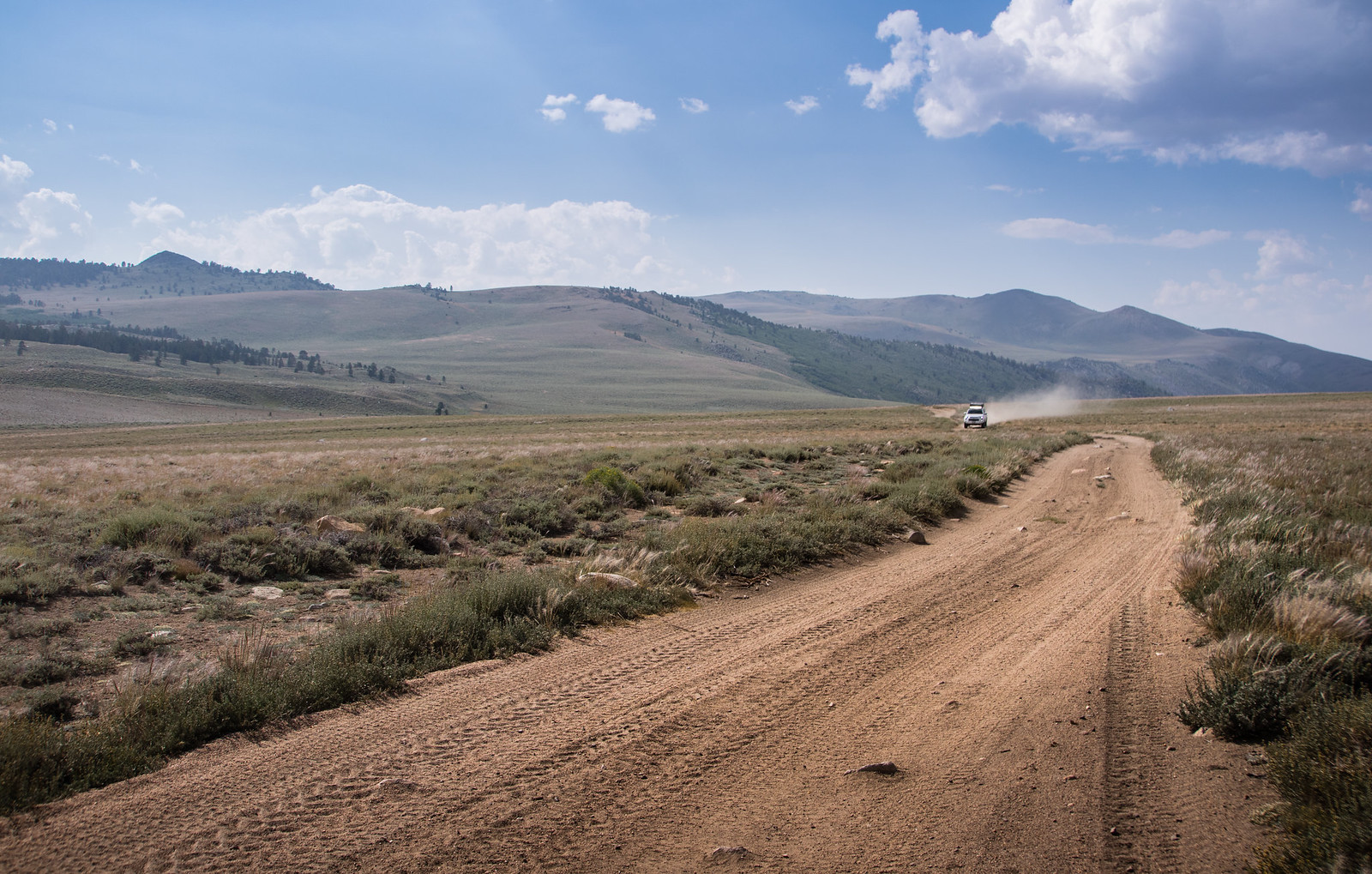
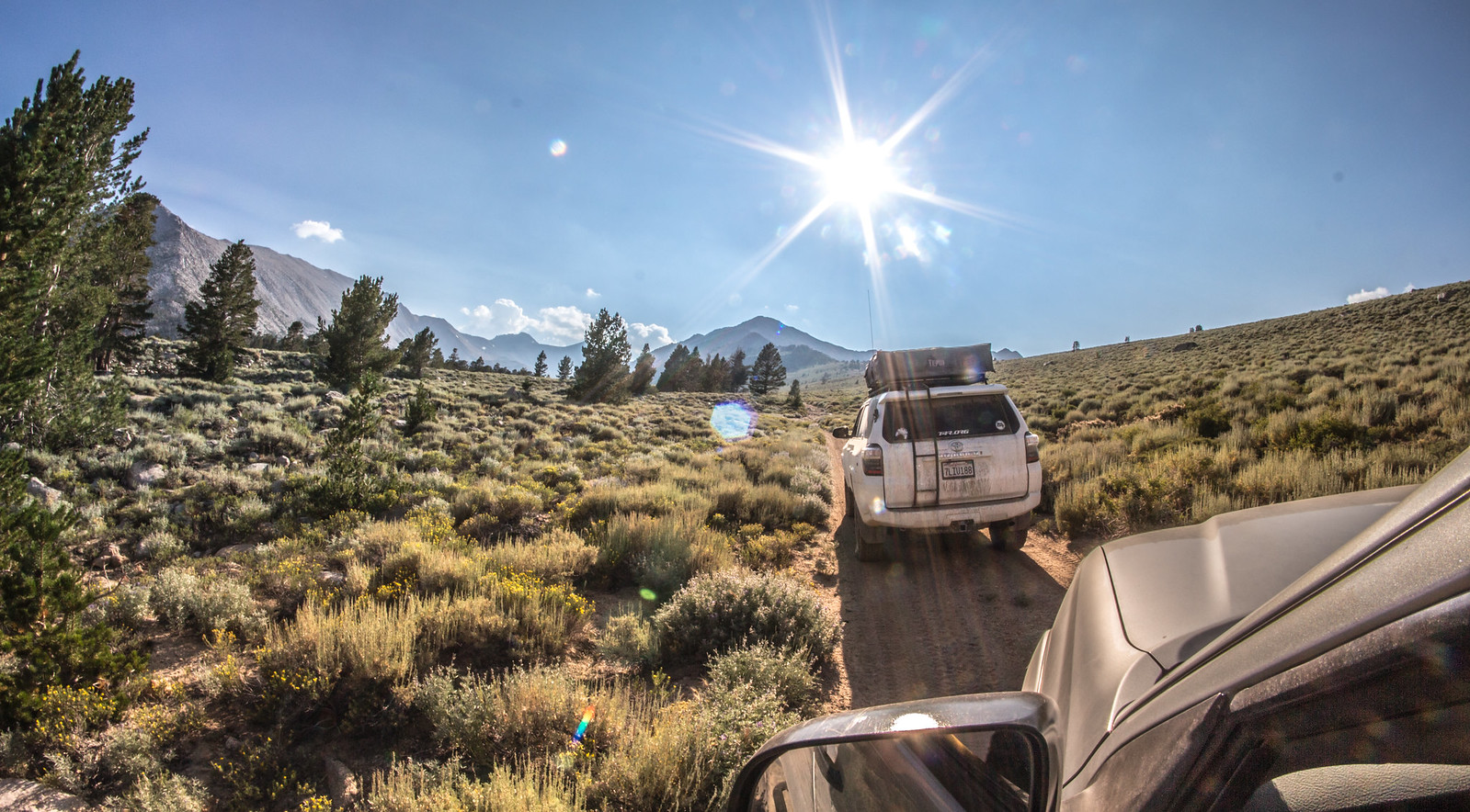
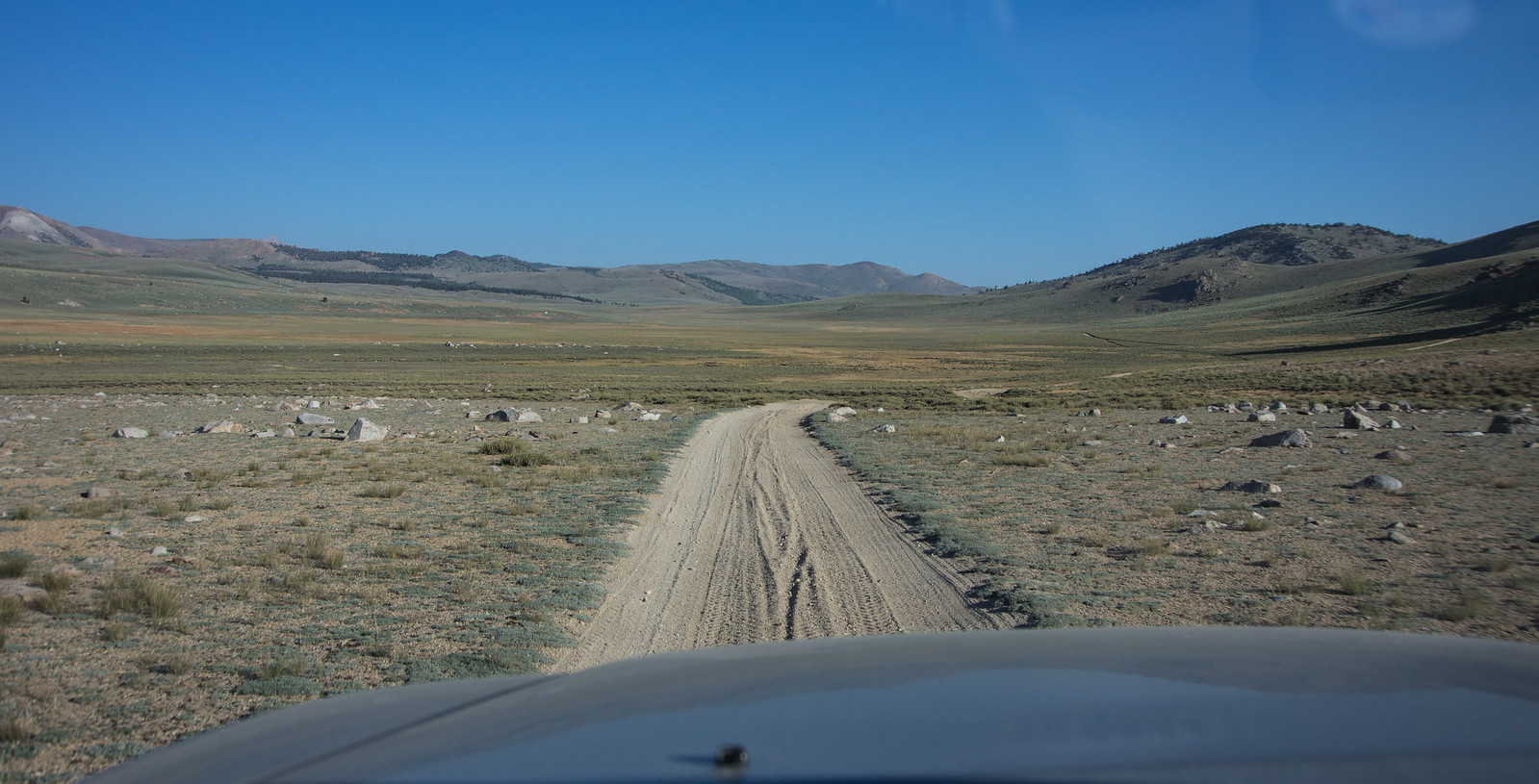
Here, the dark road in the foreground is harder packed, but the light road we just covered was really loose.

Snap8.jpg


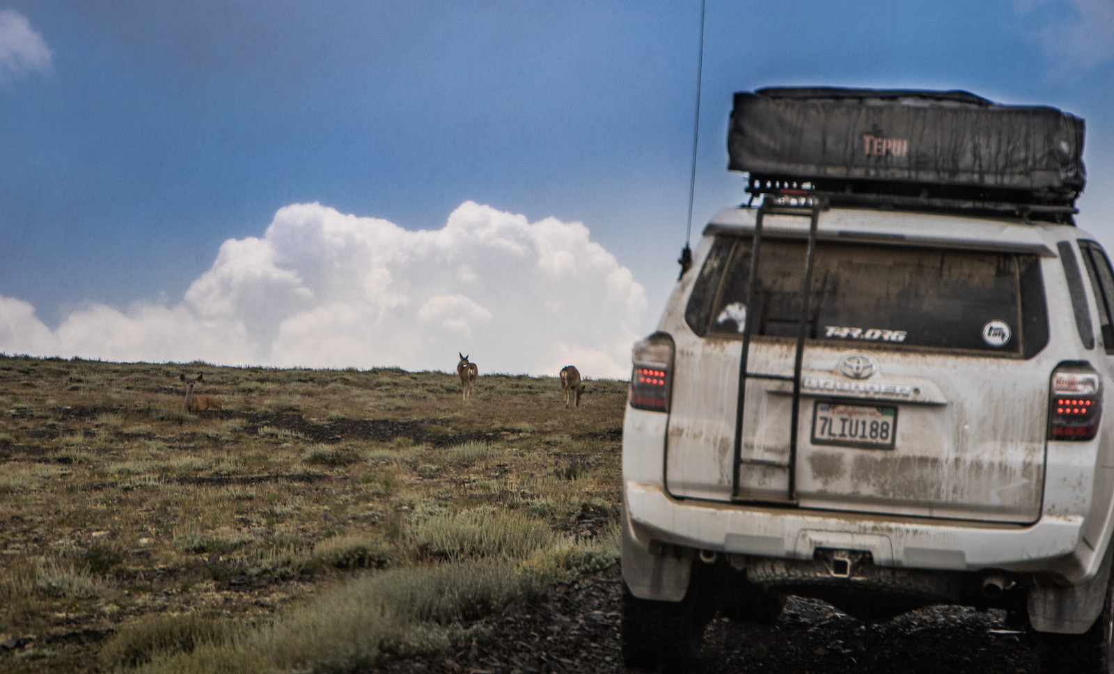
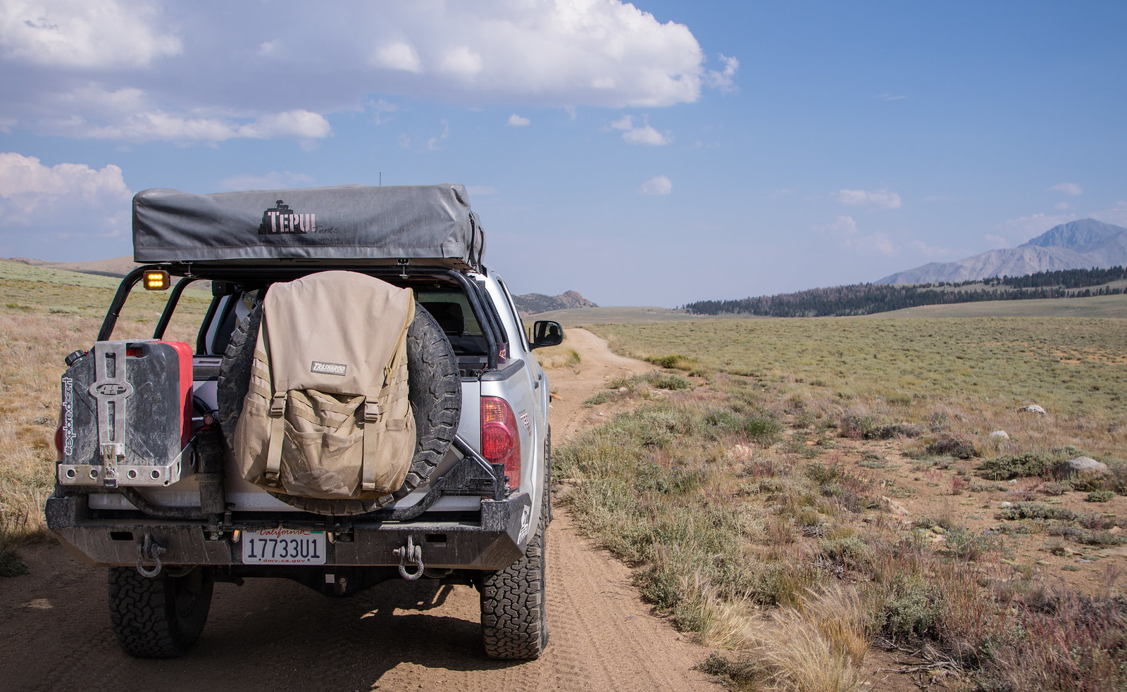
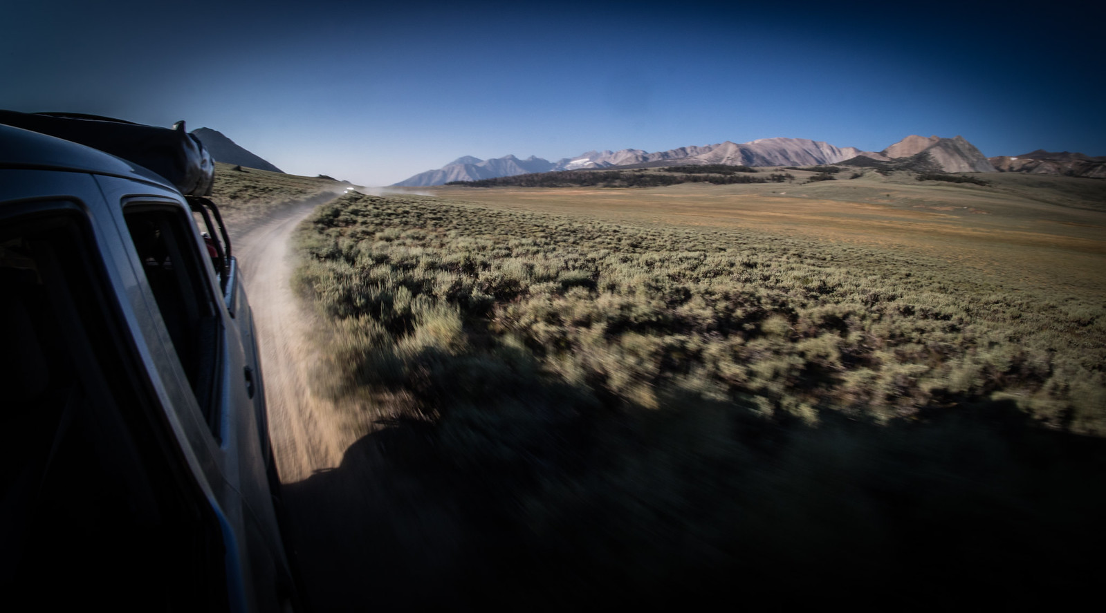
The back of the car was covered, like a dusting of snow. I'm sure you guys have had this, but I want to say that this dust was VERY fine. The last time I saw this kind of dust was driving across Iowa on the dirt farm roads - that was very fine silt, too.

Snap9.jpg

Snap11.jpg


At another place where I got out, the road was pretty firm but the side of the road was still soft. You can see my footprints - when I got out I was surprised I sunk into the soft sand there. It didn't look that soft, at least not at first.

Snap12.jpg


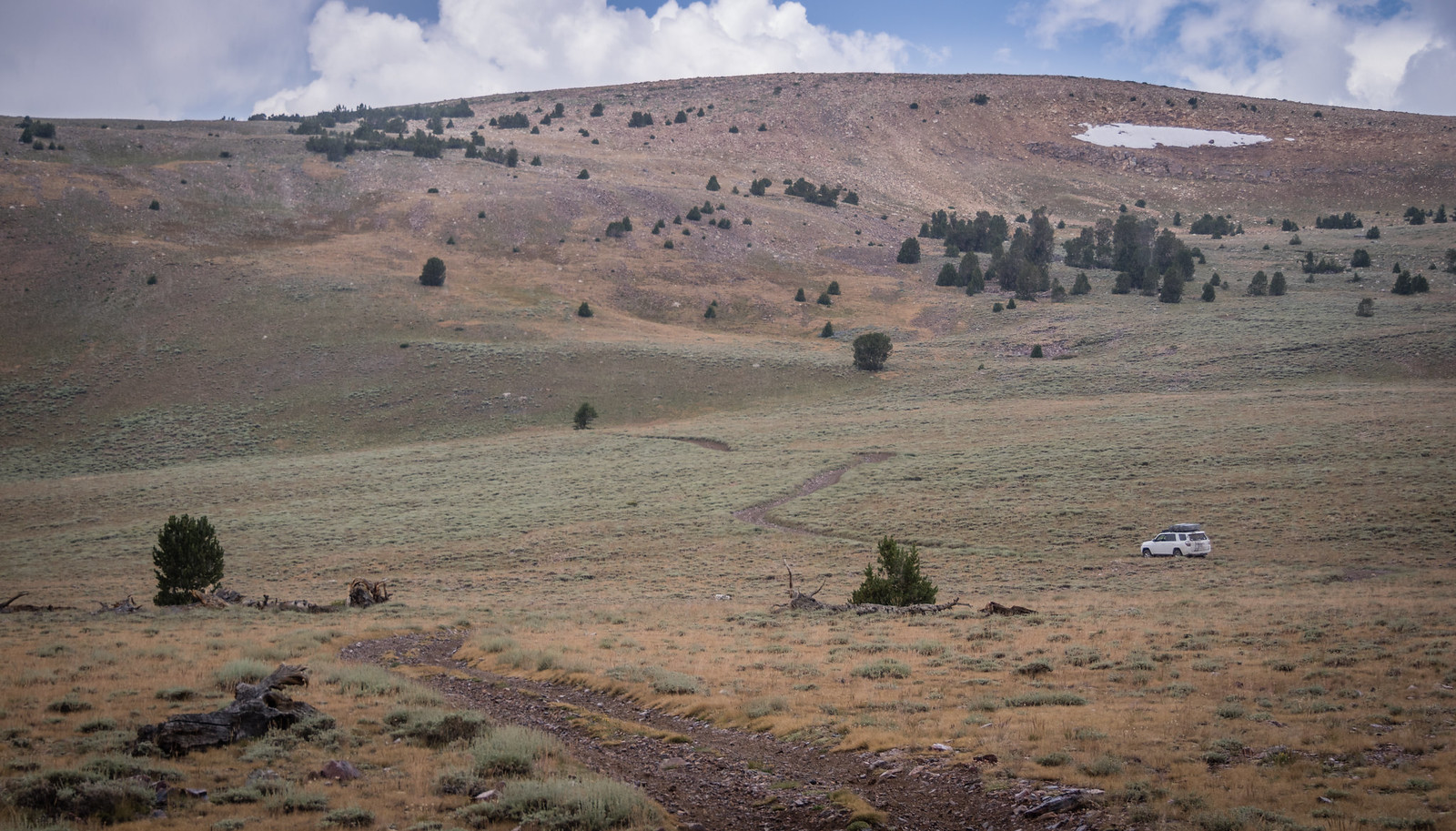
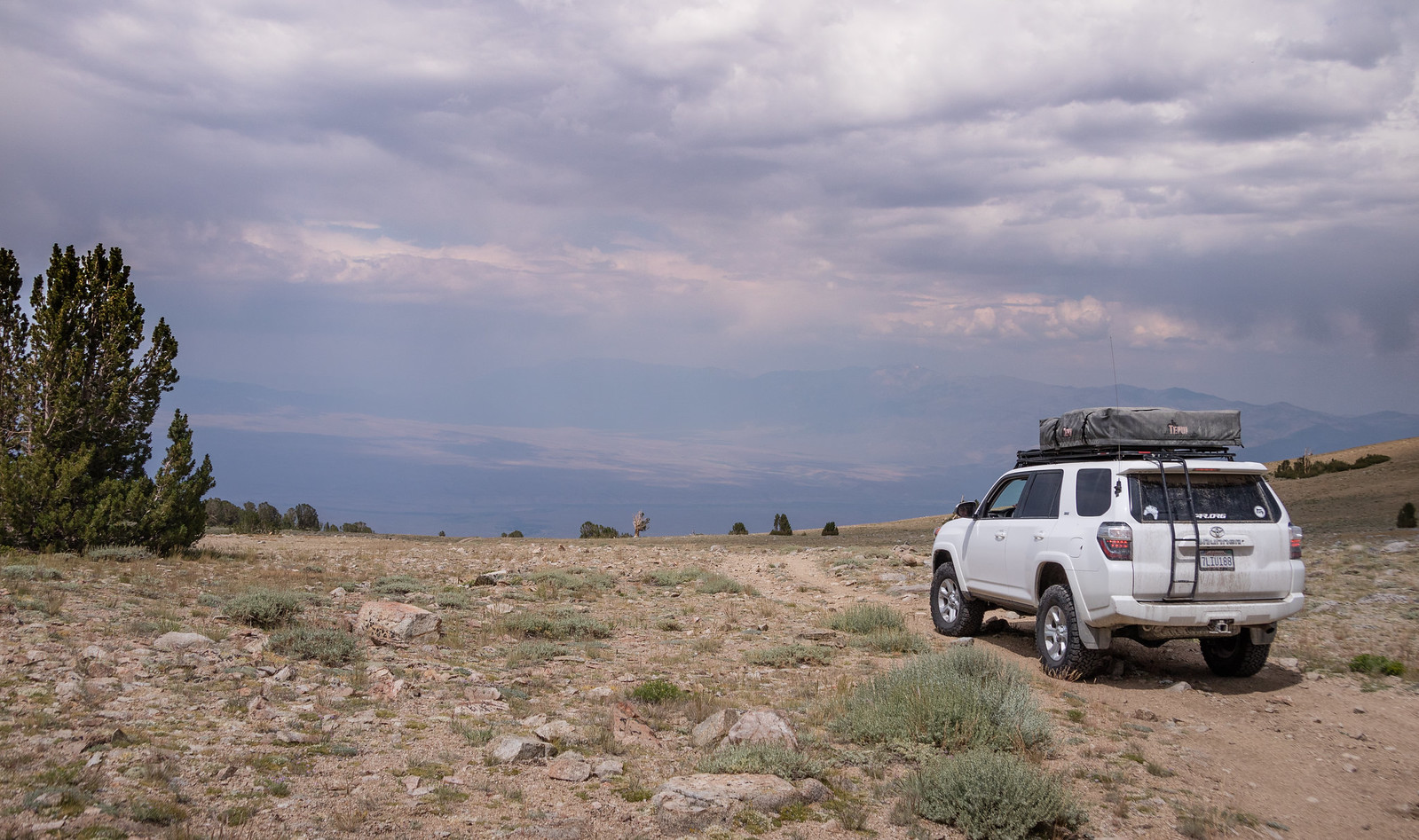
On a clear day, you can see forever... and the dark spot in the foreground is where some local biped marked his territory (before his wife got out of the car). :D

Snap13.jpg


I called her out after I did my business. :D

Snap14.jpg


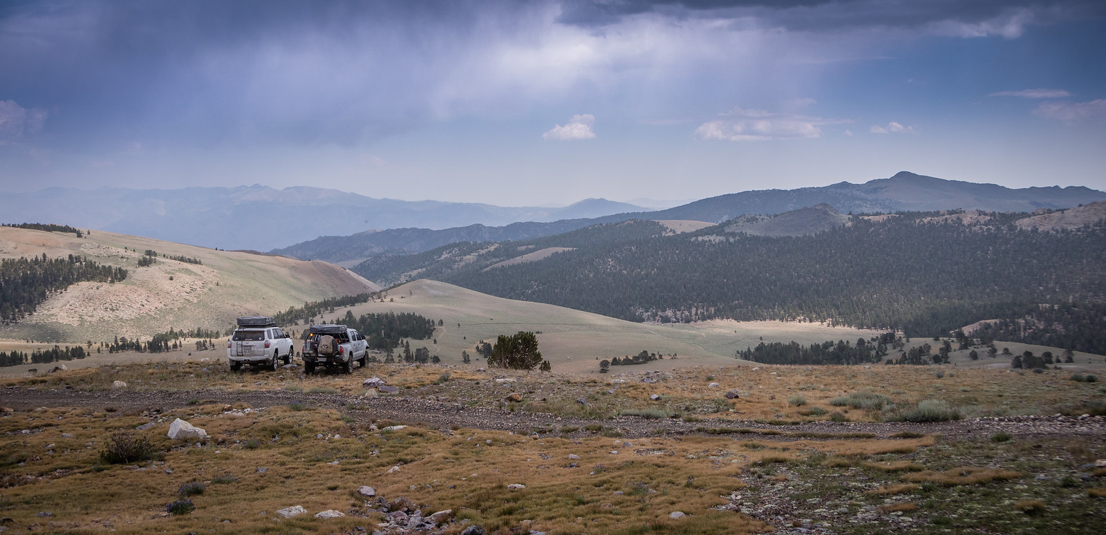
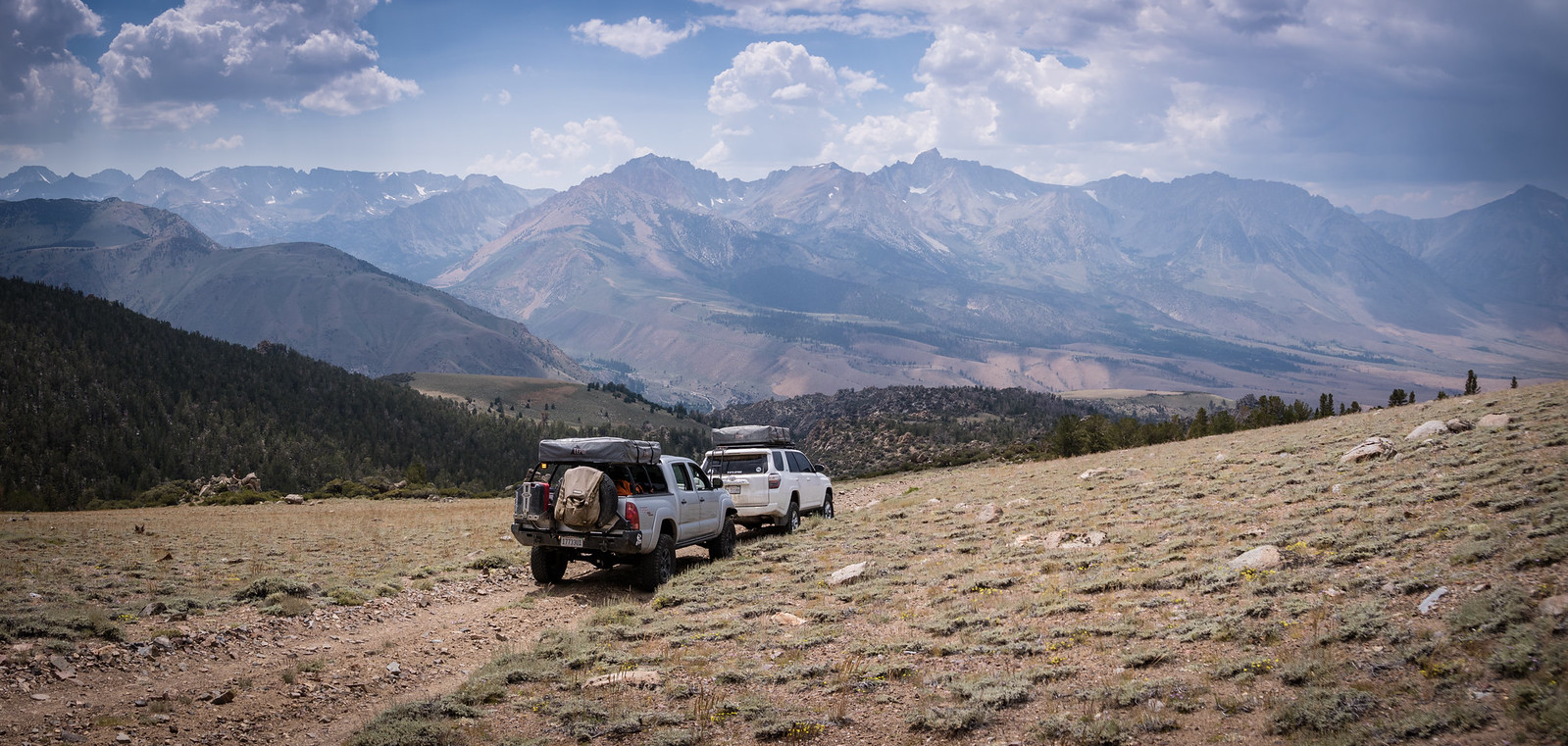
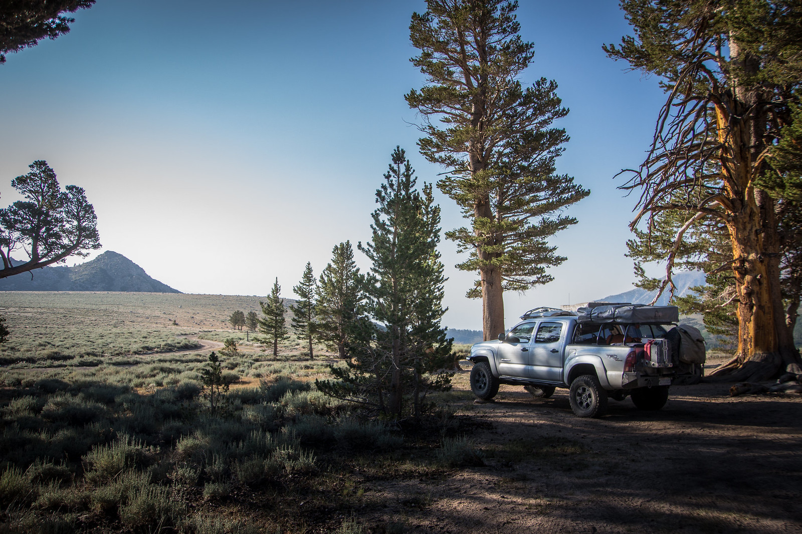
Around on the south side of Mono Lake, we parked at the end of Forest Rd 1N44B (here, 
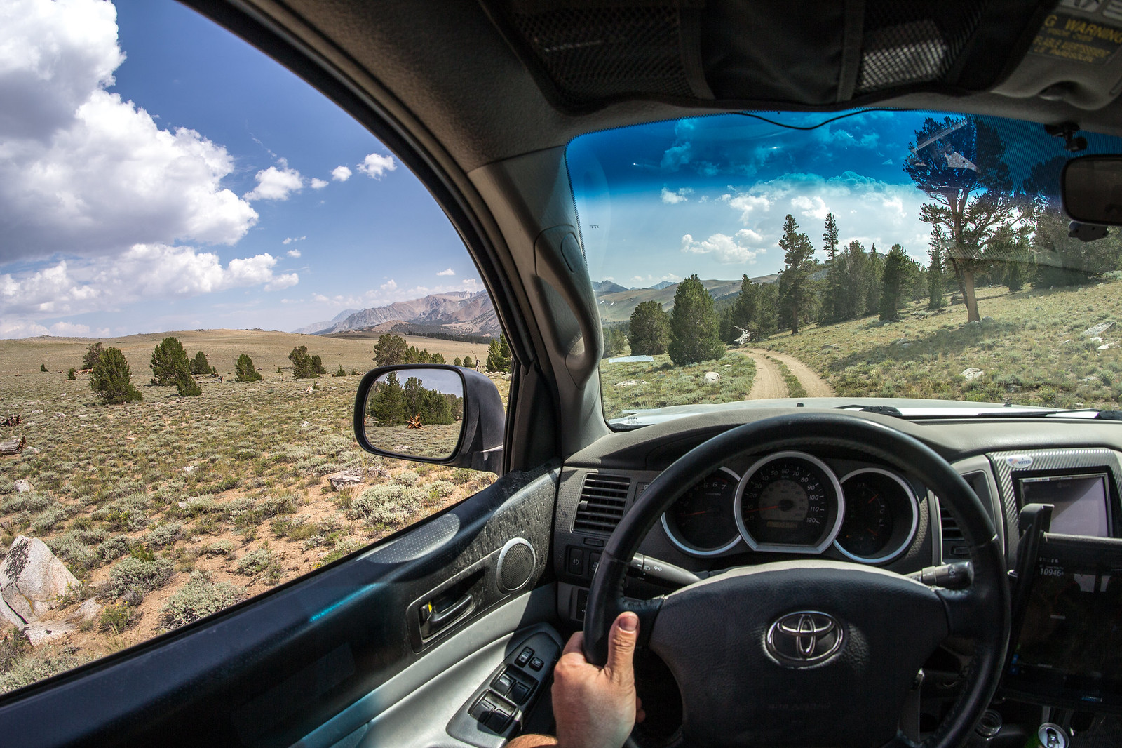
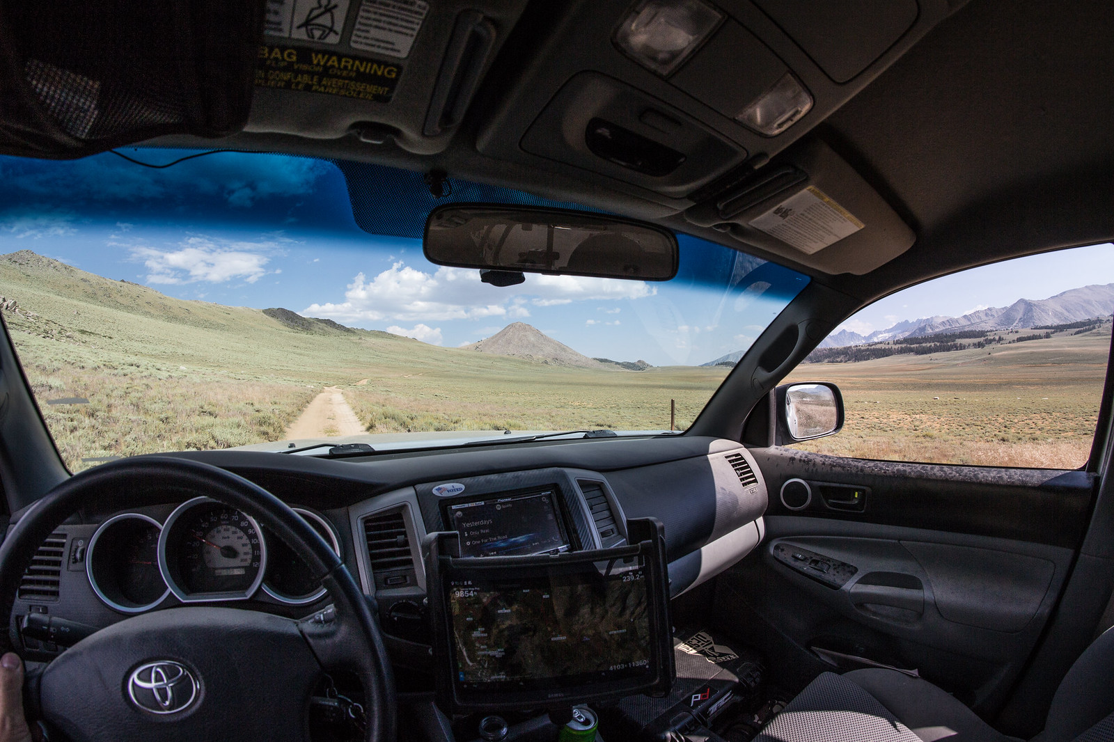
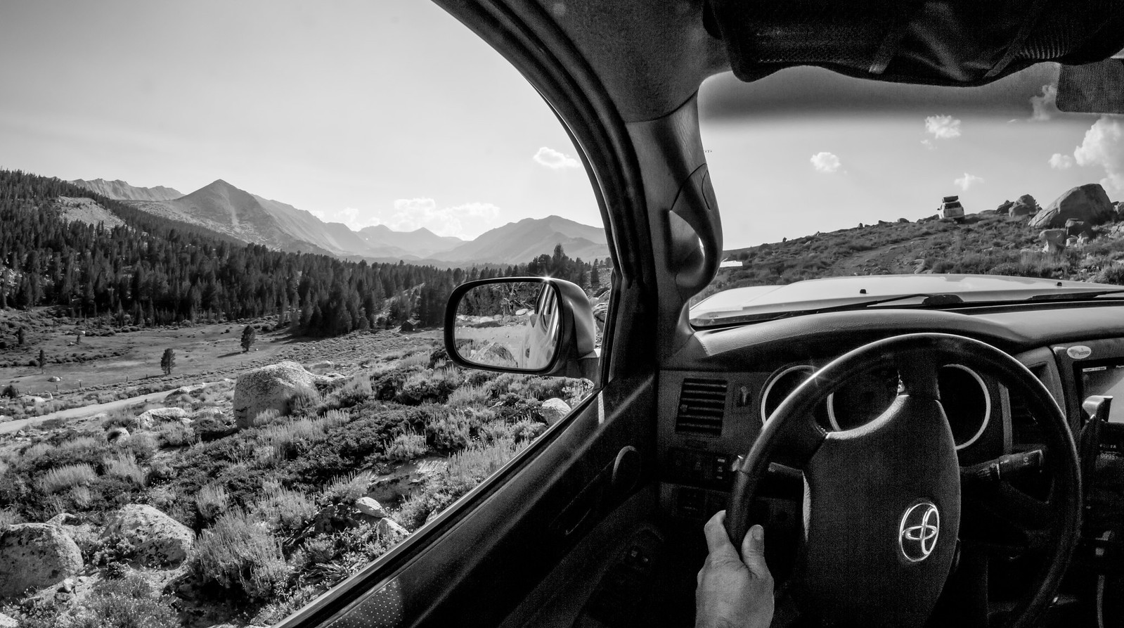
https://goo.gl/maps/mNewEuCyhM42). Again Google Maps Offline let me pick the correct road that took me where I wanted to go, instead of the (apparent) dead end of 1N44A. My copilot was asleep here, you can see her seatbelt and reclined seat. I didn't want to wake her.

Snap15.jpg


The stream crossing on Picnic Ground Rd (here - https://goo.gl/maps/YMaE1zCoiTP2) wasn't bad, maybe 2 feet deep. I didn't get a picture, but now I wish I did.

Farther east on Forest Rd 1N44, we took this last picture at Mono Lake. Paoha Island is in the background.

Snap16.jpg


It was fun, and again I was happy with my first use of Google Maps Offline. It worked pretty well for us.
 

1MK

ExploreDesert
This next portion I'm going to call "The Adventure of Dave's 4Runner". Rain, lots of driving and letting Dave take the lead didn't allow for much diversity with the photography.


We backtracked down past Coyote Lake and rejoined the main trail. At the spit off we took 31E303 to the top of the ridge and above the remaining snow line.


The distant clouds had made their way on top of us and brought varying severity of rain along along with them. Couldn't have asked for better timing - the small shelf road we were just on would have been that much more intense if the rock was slippery from the wet.


Creeping up to the 11,000ft mark a small group of deer where roadside. They didn't seem frightened and stayed put as we slowly drove by. From this point forward we saw numerous groups running through the trees - but not a single coyote. Maybe they should rename the area... :elkgrin:


We continued south-west toward a overlook of South Lake when it started pouring rain and the temperature dropped to about 52*. I didn't want to take the time to get the camera in it's protective rain sleeve and now regret it. The overlook at the end of the trail was epic! We soaked in the view before becoming drenched and made our way to the Lindner Prospect. All that remains is the collapsing ore bin, remnants of track and audits that have either collapsed or been blown shut.


Next up was backtracking a bit and exploring the 8S109 and the Schober Mine.


Looking back to the ridge and where Coyote Lake is located down in the valley.


The 168 to Lake Sebrina is visible in the distance.


Winding down through the trees an old cabin at would have been the Mill site for the mining operations.


On to the Schober Mine - or lack of. Once again it appeared that the audit had been blown shut and nothing but a few remnants remained.


Last edited:

1MK

ExploreDesert
It was now becoming later in the day and we needed to get into the general area in which we wanted to camp. The original plan was to camp at Funnel Lake but that went out the window when we saw vehicles parked within the trees while up on the narrow switchback road by Coyote Lake. A few other spots would make for great backups so no worries there. Once again, we had to backtrack as nearly all the trails dead end.


Back to the first split when first arriving at Coyote Flat, we turned right heading south on 32E303/7S10 then merged onto the 32E301.


I couldn't find much in regards to the Baker cabin while doing my research, only some vague history and a few shotty pictures. No ExploreDesert trip is complete without finding a usable cabin so it only made sense to go check it out.


1MK

ExploreDesert
It was a really neat place and would be a awesome base-camp for a larger group or with kids but since it was just Dave and I we decided on something a bit more....primitive. We spotted a prime location at the 32E301/32E301A intersection that offered a great view and flat dirt parking area. After spending the last couple nights on rocks and uneven ground it was a much welcomed change.


Dave fired up the grill and cooked up some killer burgers and beans. After eating freeze-dried food which seemed like forever and being worn out from a long day it was the best meal I've ever had! Haha. We managed to stay awake in order to grab a few night shots before crashing out in our tents. Nothing like a solid nights sleep brought on by pure exhaustion.


Sunday. Time to get heading home. Enjoyed a warm breakfast and hot coffee while packing up for the last time. Always a bittersweet moment - excited for seeing loved ones, a shower and proper bed, but also bummed the journey has come to an end. Part of me wants to keep going. Part of me wants to be home and recharge. Knowing that there will always be another trip and new adventures makes accepting reality easier to swallow.

Until the next one...


echo7tango

Road tripping, overlanding
Thanks for the nice report and pics, 1MK. My in-laws used to live in Bishop (and not in Laws, ha ha) and I used to get out thatta way pretty often, but I'd never been up Coyote Valley Rd. before. Thanks for your scouting report, and for the ideas for next time I'm in the area. You're right on about Mahogany Smoked Meats, and it doesn't take much to rack up your tab quickly. But like you said, definitely worth it!
 

GroovyDad

Wanderer
Excellent Trip Report and gorgeous photographs. I just did a long Labor Day weekend in the eastern Sierra and I love it more each time I go.

Thanks for sharing.
 

Forum statistics

Threads
185,912
Messages
2,879,542
Members
225,497
Latest member
WonaWarrior
Top