Two Bob's Heart of the West 2014

DYNOBOB

Adventurer
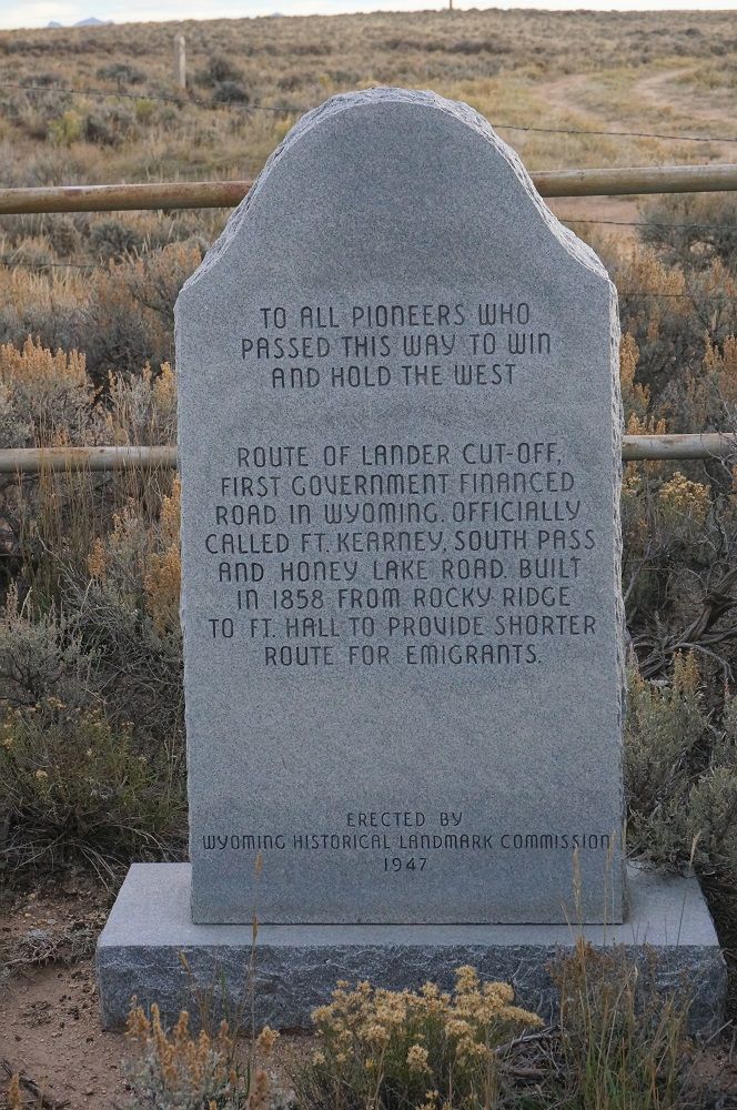
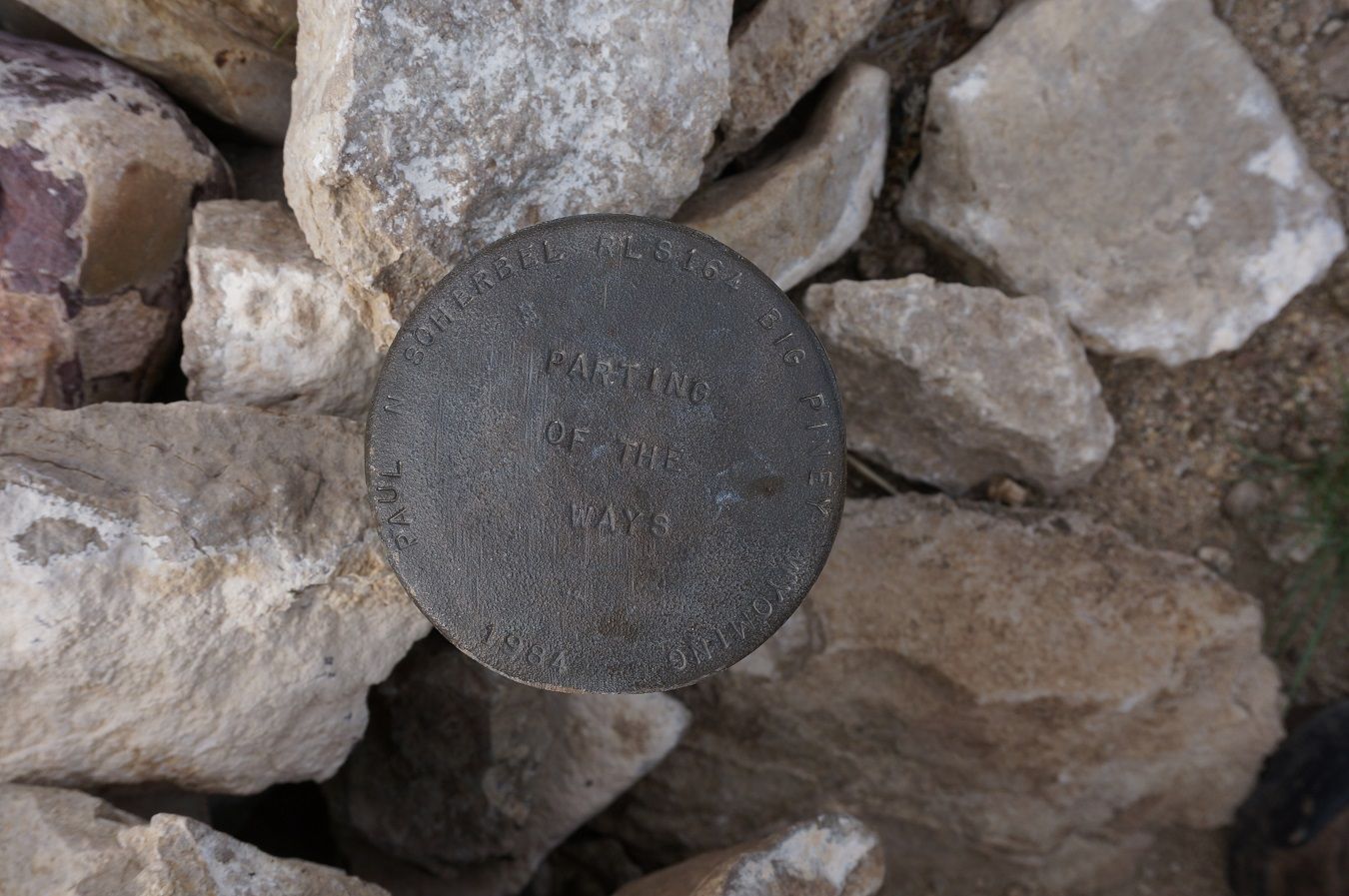
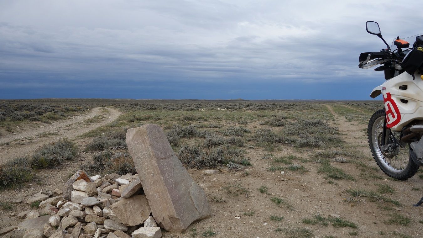
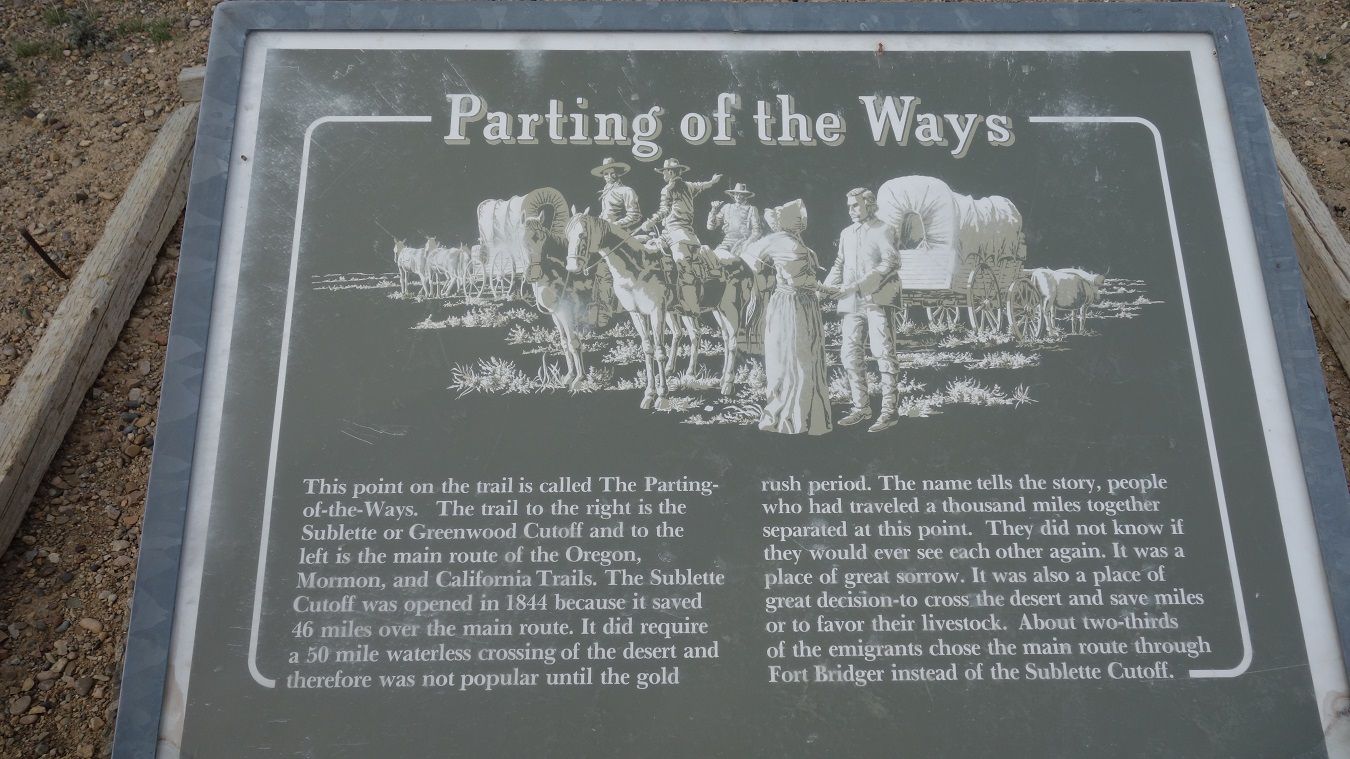
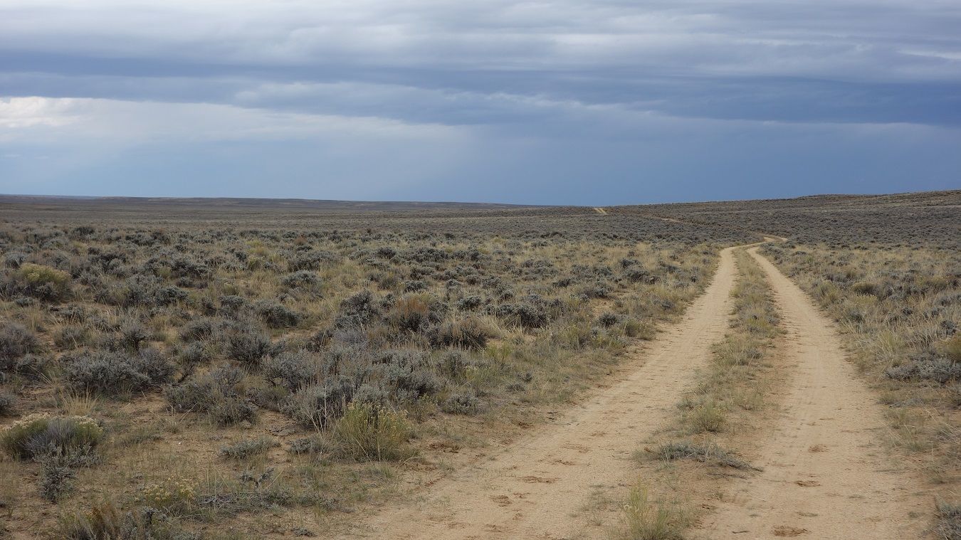
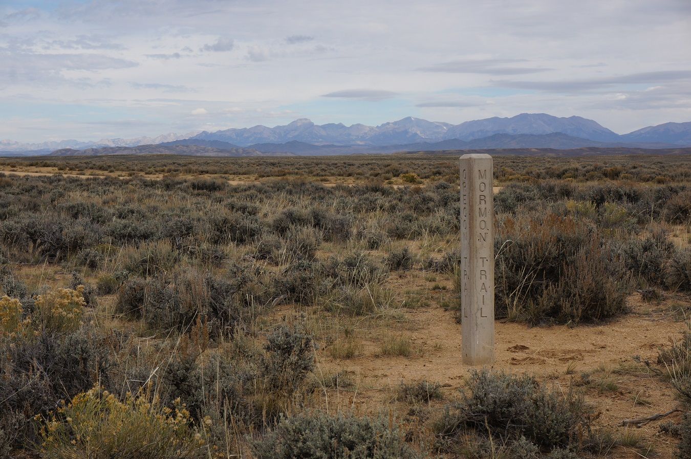
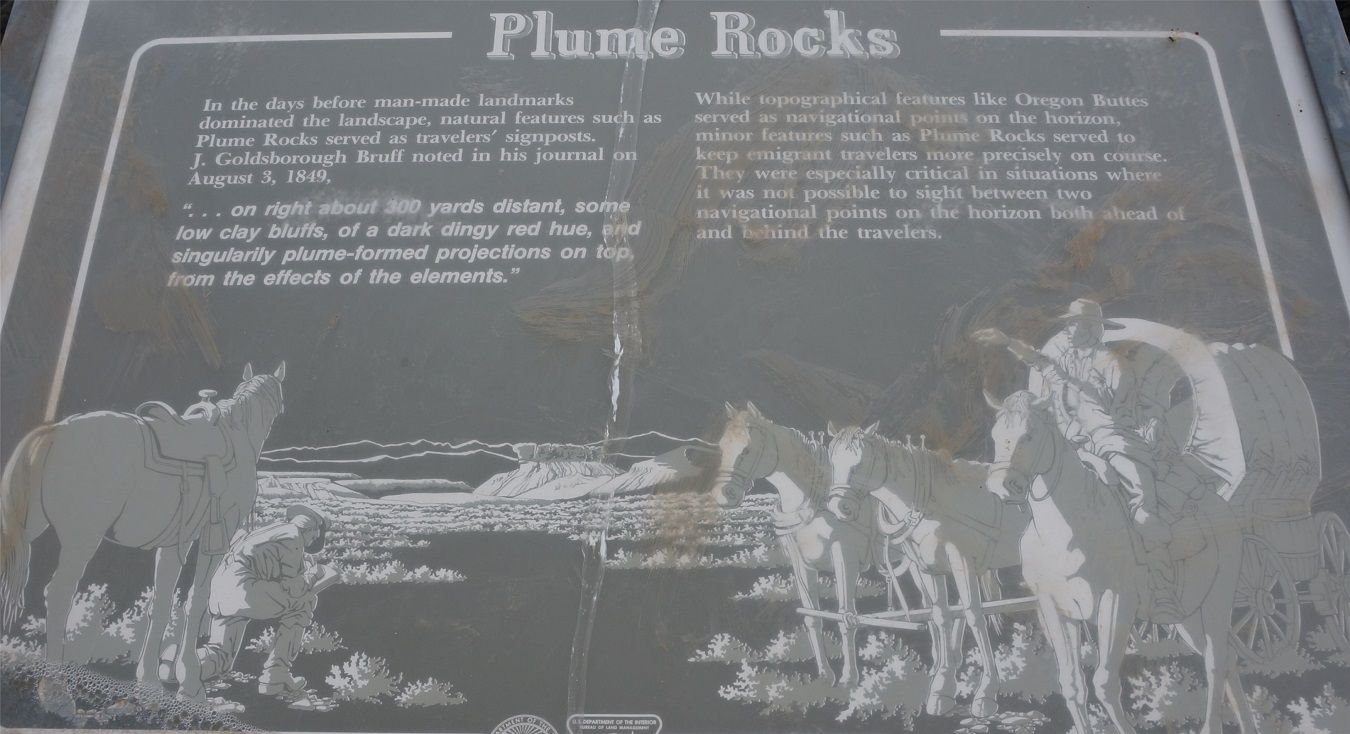
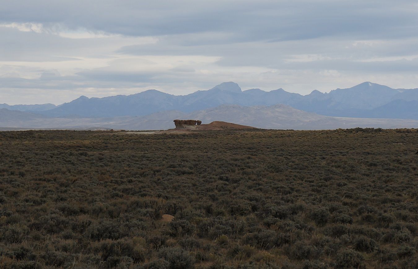
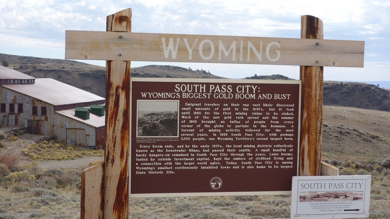
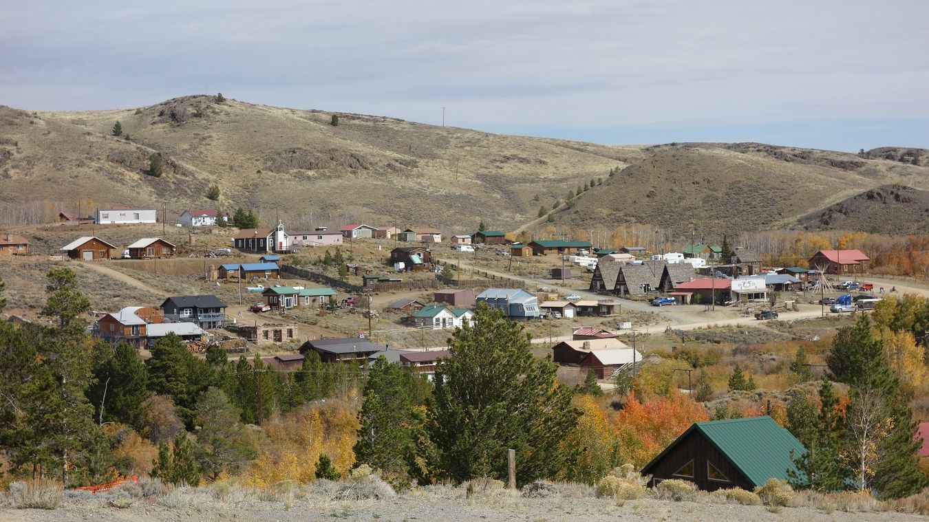
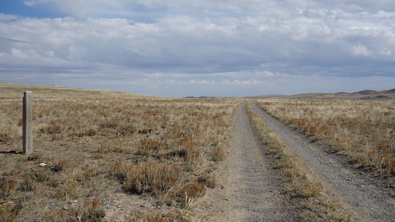
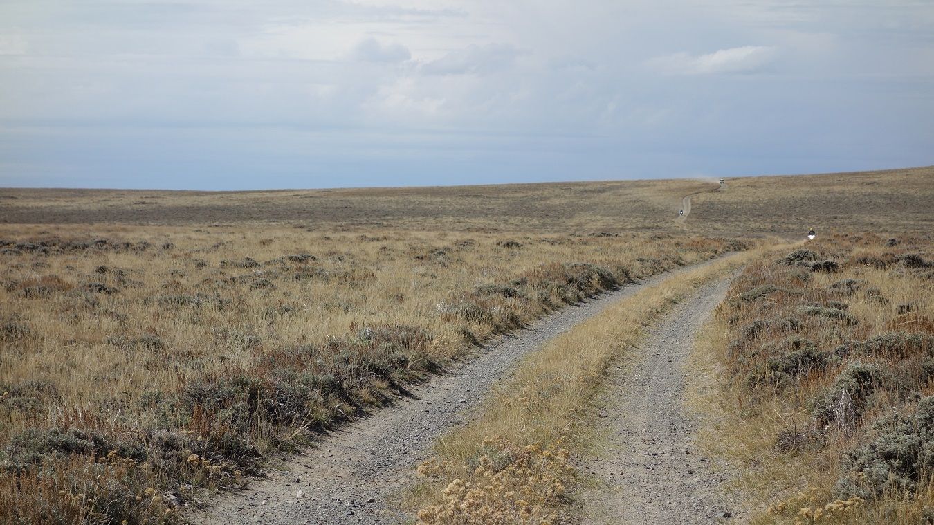
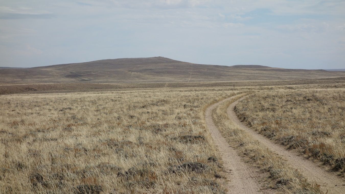
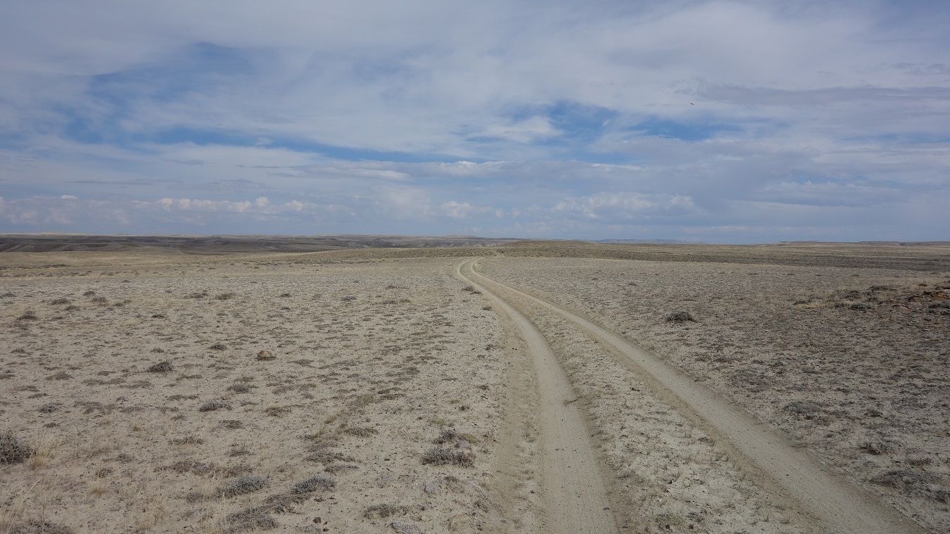
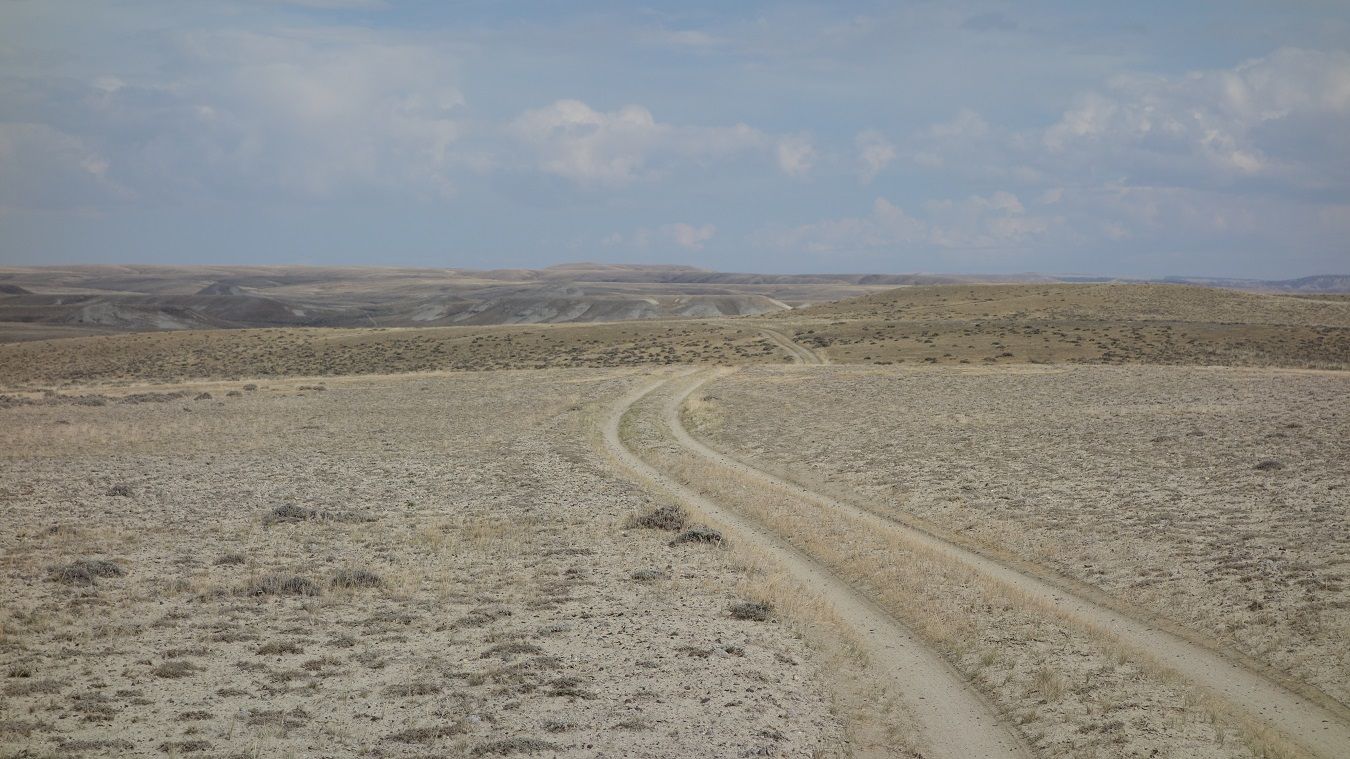
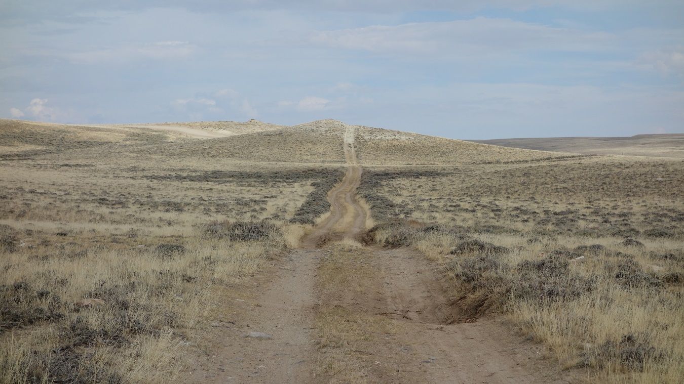
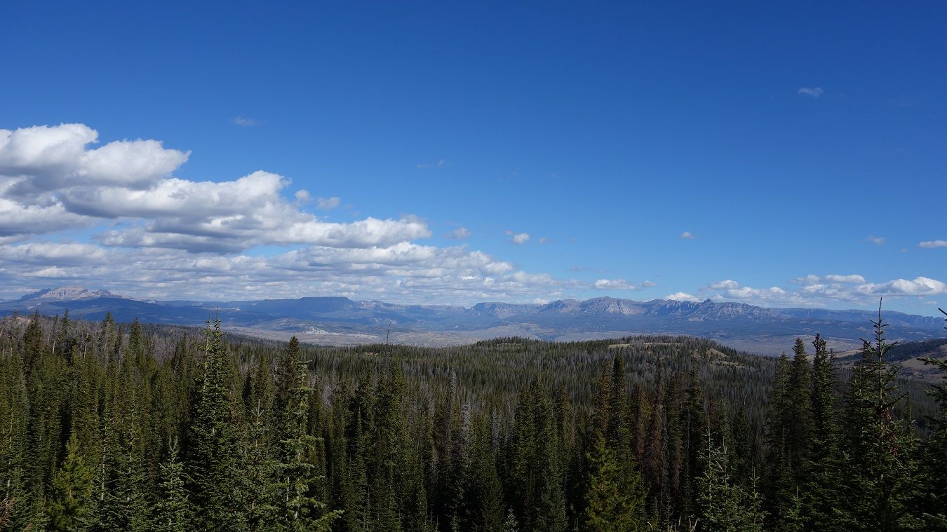
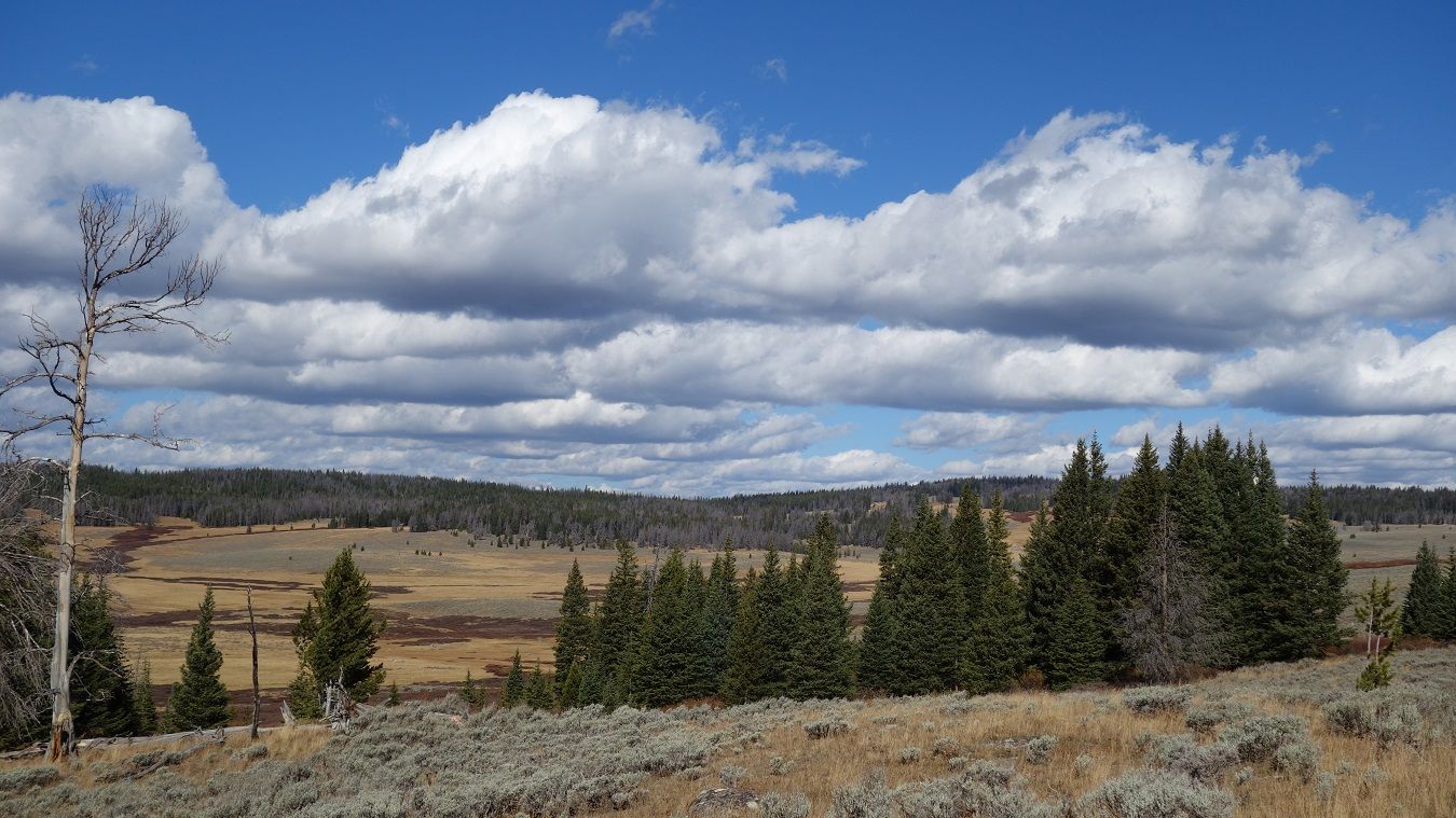
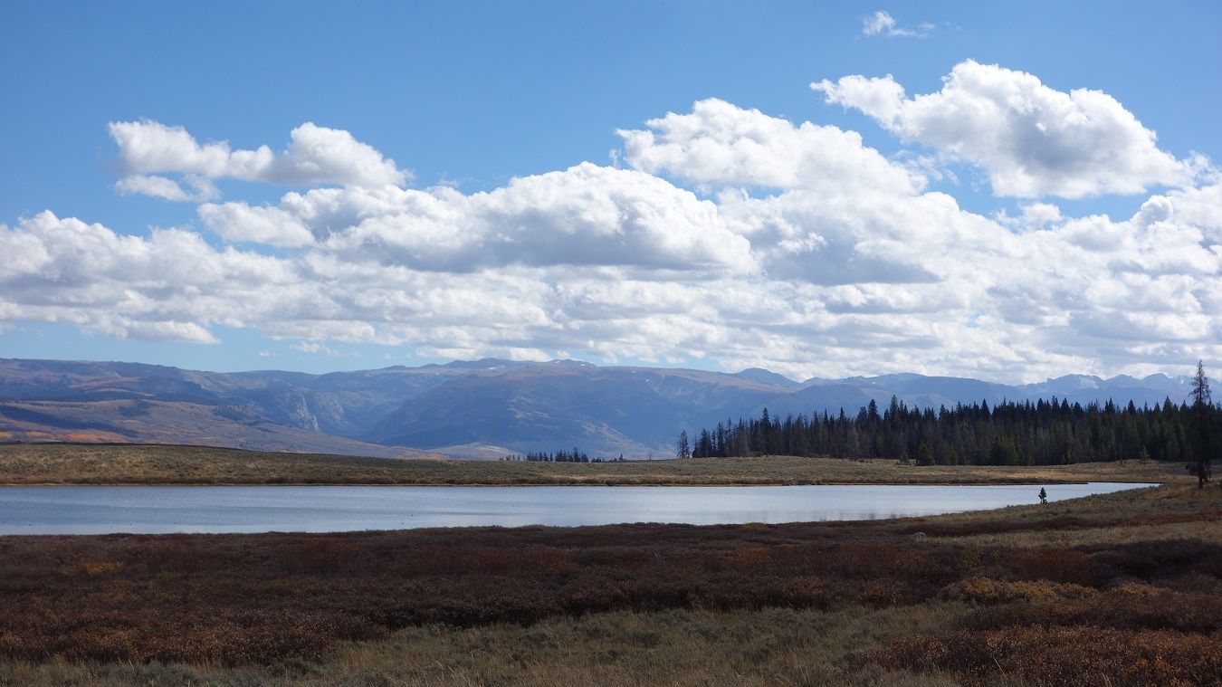
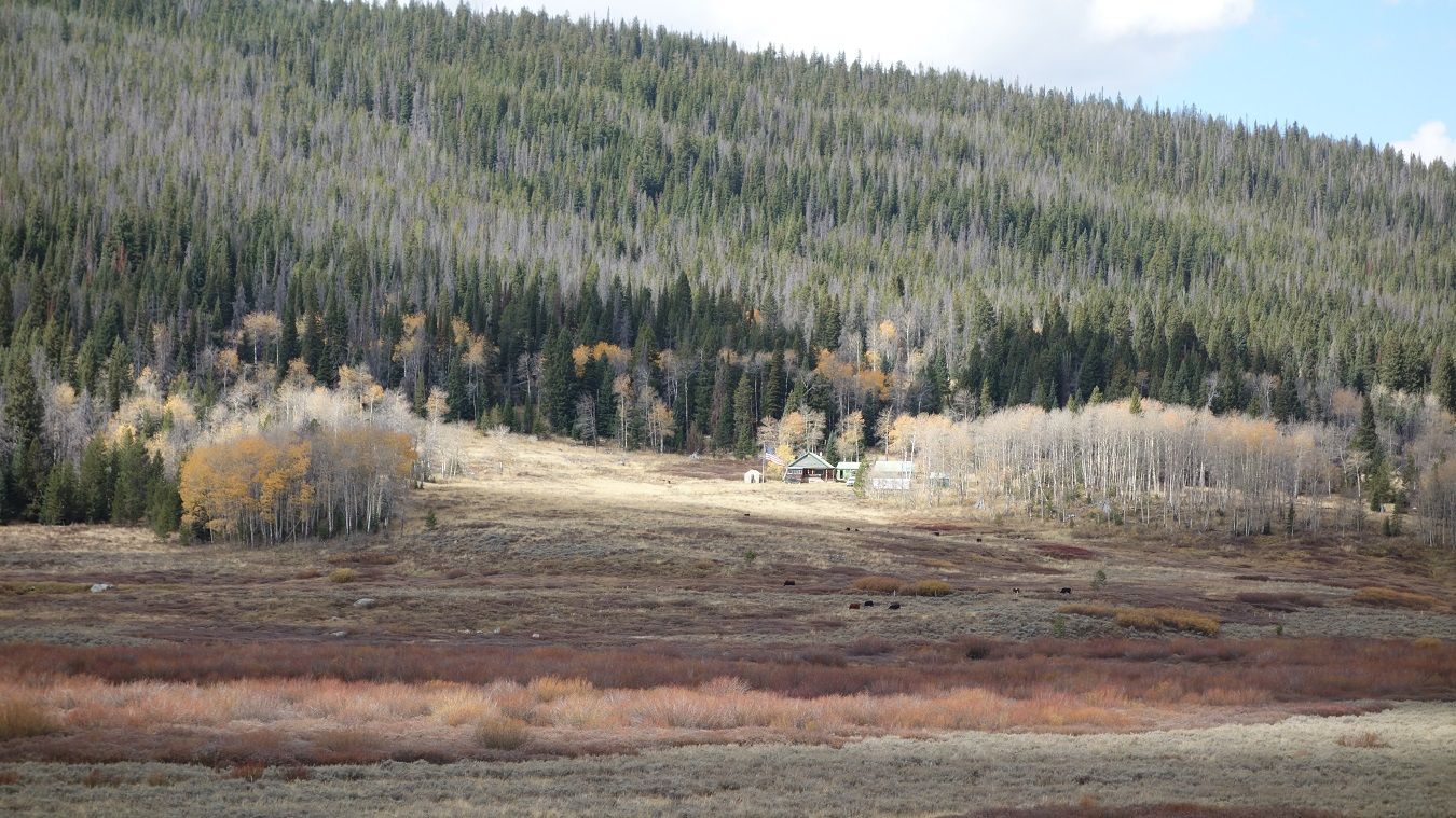
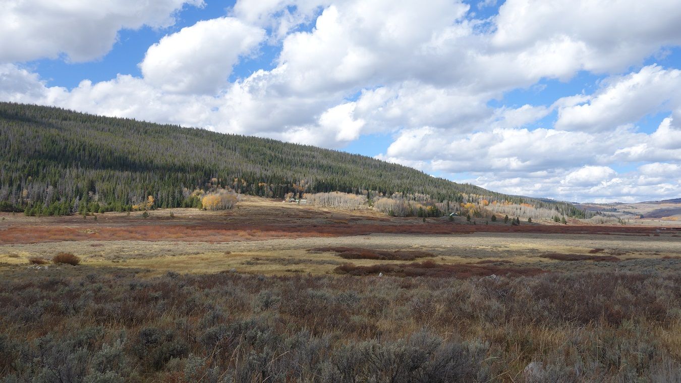
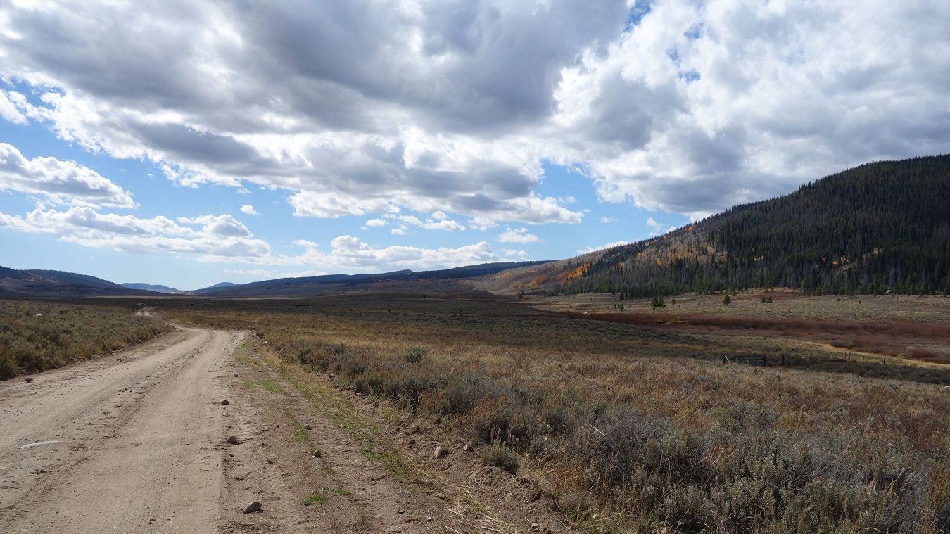
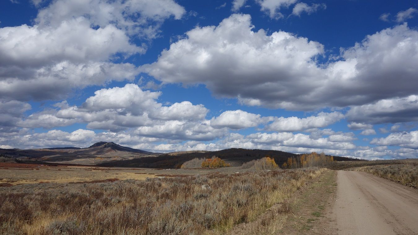
Things get real good as we start up and over Union Pass. From Wiki: Union Pass is a high mountain pass in the Wind River Range of western Wyoming. The pass is located on the Continental Divide between the Gros Ventre mountains on the west and the Wind River Range on the east. A triple divide exists nearby, where water may flow to the Mississippi River, Columbia River, or Colorado River. The pass was historically used by Native Americans and early mountain men including the Astor Expedition in 1811 on its way west. On the return trip, fearing hostile Indian activity near Union Pass, the Astorians chose a southern route and discovered South Pass.

9-26-14515.jpg~original


https://www.youtube.com/watch?v=I2knbejm4P0

9-26-14514.jpg~original


https://www.youtube.com/watch?v=GYUby1Ic-cQ

9-26-14519.jpg~original


9-26-14520.jpg~original


https://www.youtube.com/watch?v=oE9PgkTKVTg

9-26-14522.jpg~original


9-26-14523.jpg~original


9-26-14530.jpg~original


9-26-14531.jpg~original


9-26-14533.jpg~original


9-26-14542.jpg~original


https://www.youtube.com/watch?v=UhaaMR4suzI

9-26-14548.jpg~original


9-26-14550.jpg~original


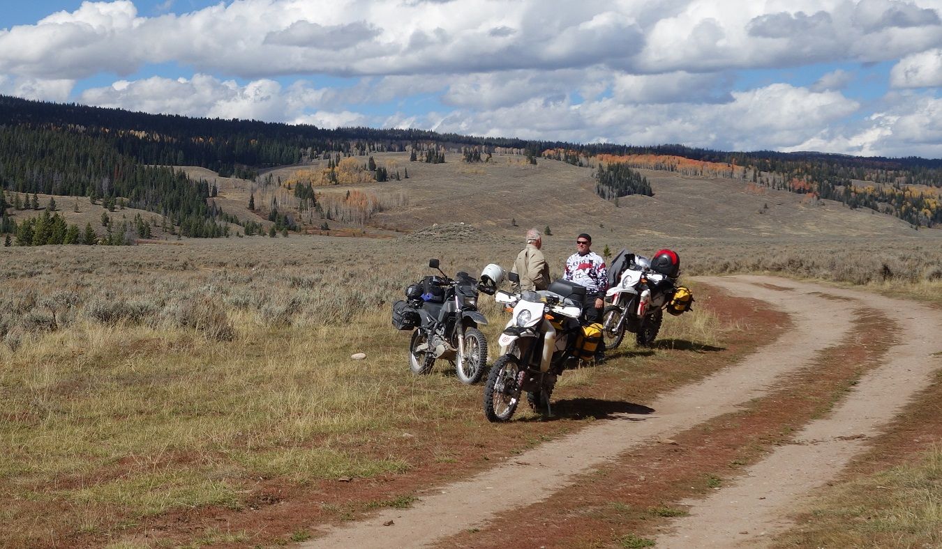
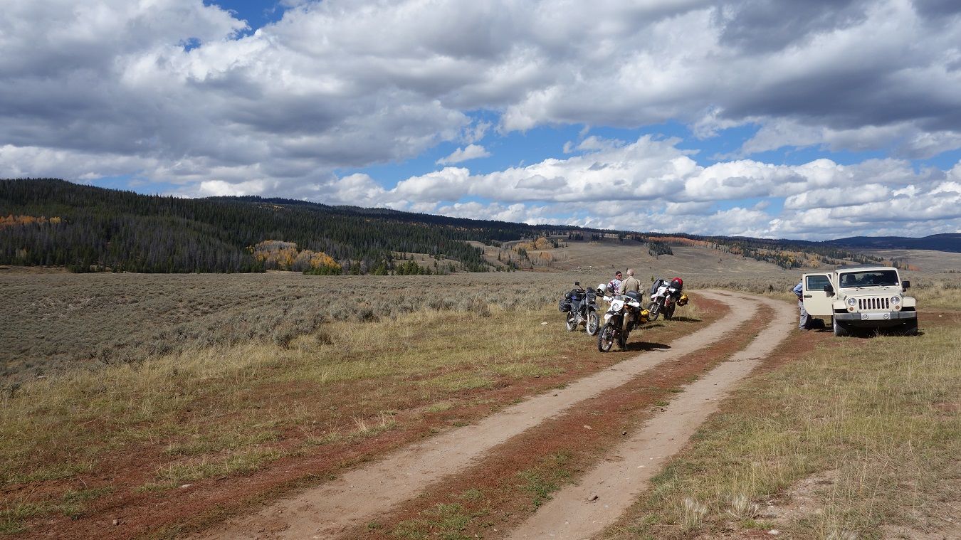
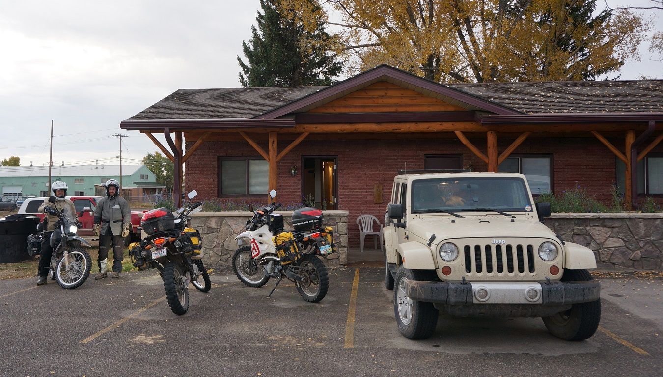
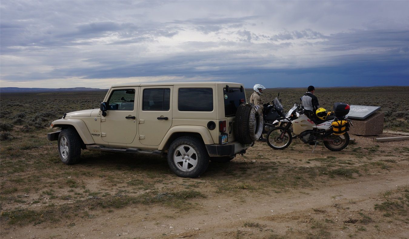
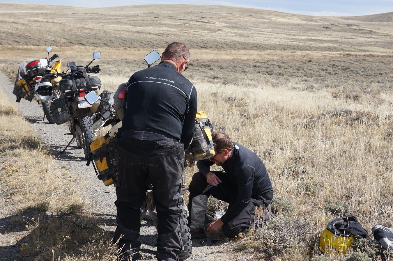
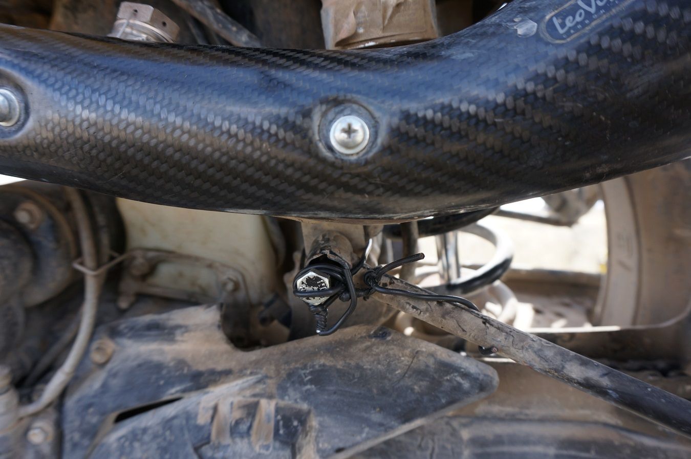
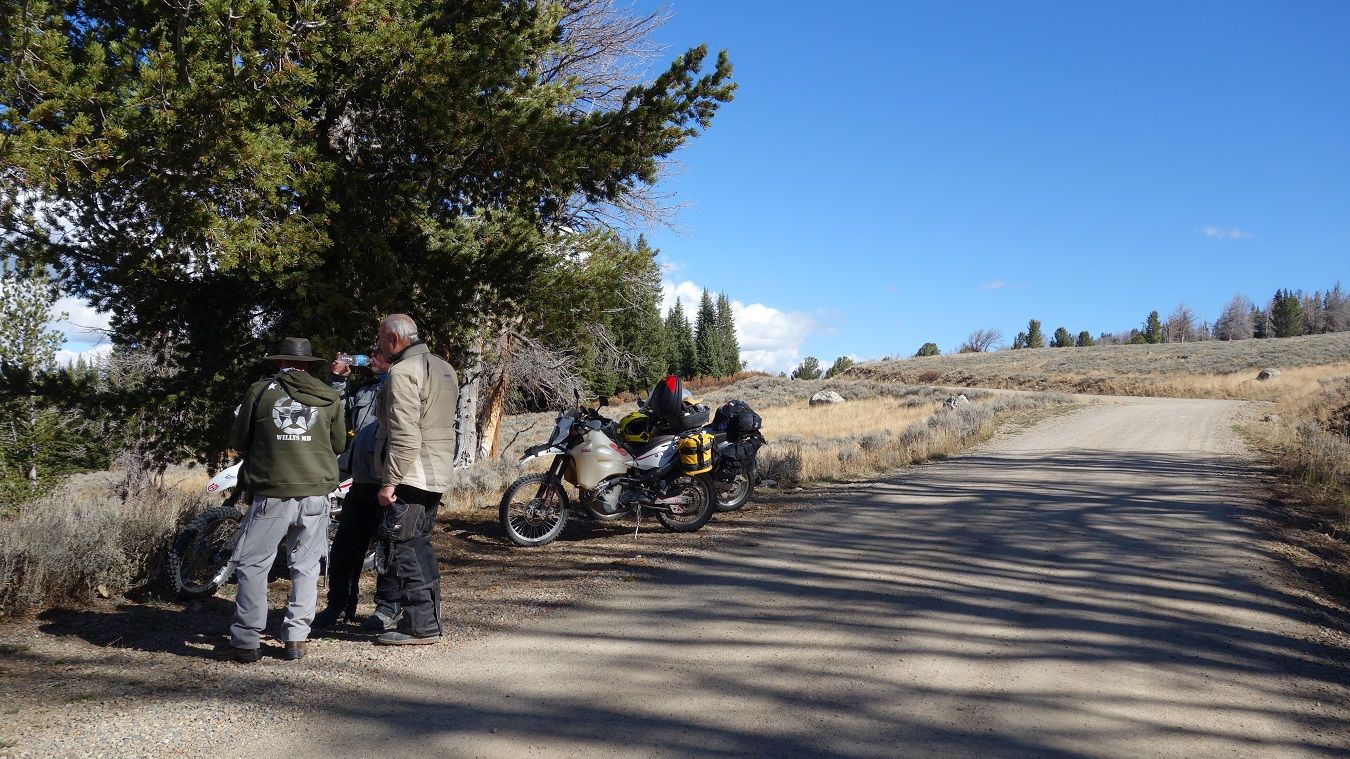
Because we bypassed the Teton loop, we've shortened the day to 145 miles and arrive in Pinedale by 4:30. Now we really have to make a decision. The forecast between here and the truck hasn't changed, good chance of rain tomorrow, near certainty for Sunday. The problem with pushing on is, Pinedale is the last place for lodging on the remaining 300+ miles of the route. Adding a little wrinkle to things, Jim's front tire is looking sketchy to finish the trip. We decide to grab a room here and change his tire. Better here with a garden hose than on a sandy two-track, and one less thing to worry about. Yep, we're carrying a spare Desert Race front...

9-26-14551.jpg~original


9-26-14554.jpg~original


9-26-14555.jpg~original


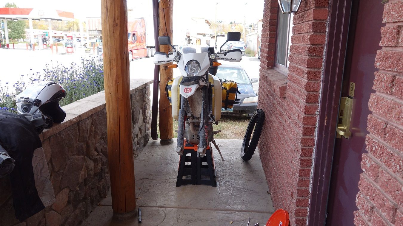
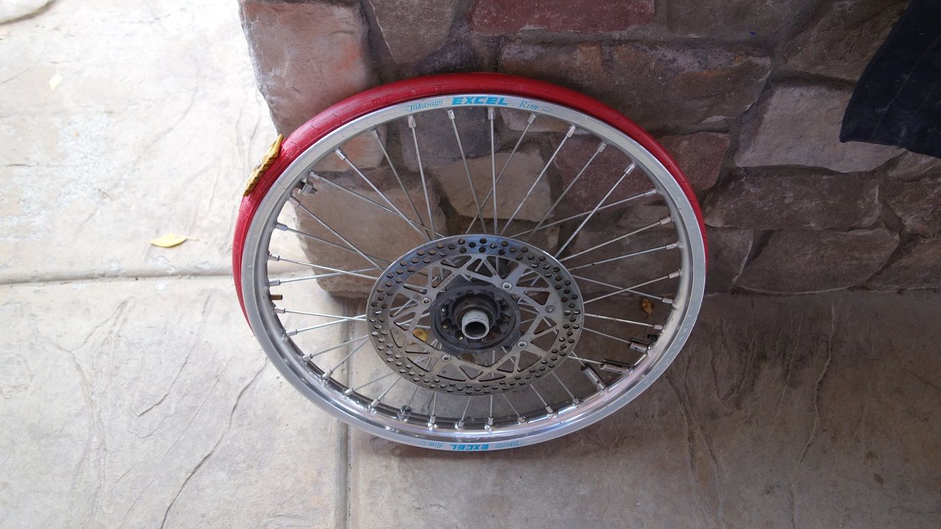
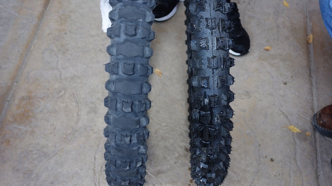
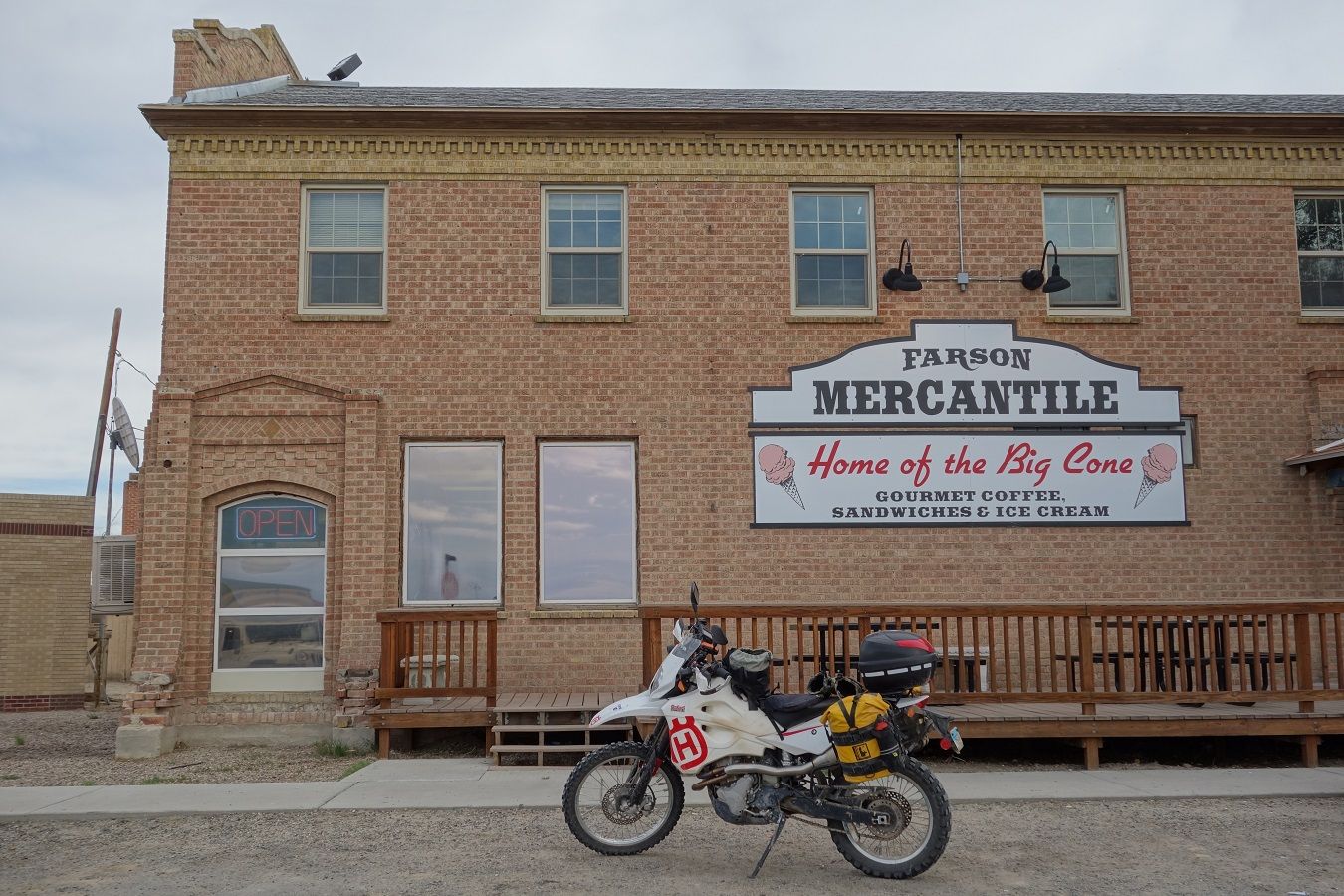
With that done, we clean up and go grab dinner at the Wind River Brewing Co. We recommend it and the Sundance Motel. I download pics and vids and we turn in early.

.
 

DYNOBOB

Adventurer
Sat Sept 27 - Day 14 - Pinedale to Rawlins - 250 miles


Today is the day I've most looked forward to on the trip. Our route takes us onto the Oregon/California Trail in the actual tracks of thousands of settler wagons, with a stop at the historic Parting of the Ways. Until I read DockingPilot's report, I had no idea that this piece of our country's history still existed basically unchanged from the 1860s. Tonight we'll camp on the banks of the Sweetwater River at a spot on The Trail that was undoubtedly a favored overnight for the westward traveling settlers. Awesome!

However.....we awake to cloudy skies and a forecast of scattered rain today, heavier rain tomorrow. Now I know two things for certain: One - I don't want to miss riding into The Parting of the Ways. Two - We don't want to find ourselves (the jeep) mired in mud in the middle of nowhere. We decide the best move we can make is to slab it to the turn for the Parting of the Ways and enter Tony's track there, this cuts ~4 hours off our day. From there we'll continue on the track and arrive in Rawlins tonight. I'm bummed about missing our last night of camping, but we'll be happy if the weather allows a good day today.

So this is to be the last day of our trip. :cry:cry:cry:cry Gonna get my licks in with the camera today. :D


Time to roll... Our first hour is slab and we have rain 30 miles to the west. (we're heading east)

9-27-14d196.jpg~original


HoW rules requires you take your picture here. :D

9-27-14003.jpg~original


An hour in and we turn onto the good stuff.... no rain so far. :clap

9-27-14011.jpg~original


9-27-14007A.jpg~original


9-27-14d200.jpg~original


9-27-14008.jpg~original


9-27-14014.jpg~original


Arriving at Parting of the Ways. Looking kinda dark back to the west... :huh

https://www.youtube.com/watch?v=PhR3b_ww5fA

9-27-14024.jpg~original


9-27-14d205.jpg~original


9-27-14026.jpg~original


9-27-14028.jpg~original


9-27-14d207.jpg~original


https://www.youtube.com/watch?v=PBgT9FEb6Nw

9-27-14032.jpg~original


9-27-14d216.jpg~original


9-27-14041.jpg~original


Here's a spot that could be dicey in rain...

https://www.youtube.com/watch?v=W7510i4nhK8


For a bit we took a "shortcut" off the track, which gets a lot less traffic...and feels even more authentic.

9-27-14d219.jpg~original


9-27-14d220a.jpg~original


9-27-14d221aaa.jpg~original
 

DYNOBOB

Adventurer
Farson is the only place between Pindale and Rawlins for fuel. South Pass City and Atlantic City are tiny, no gas stations here. You'll need about 210 mile range for this stretch.

9-27-14d225.jpg~original


9-27-14043.jpg~original


9-27-14044.jpg~original


9-27-14046.jpg~original


9-27-14d232.jpg~original


9-27-14051.jpg~original


9-27-14052.jpg~original


Just past Atlantic City is where we had planned to camp on the banks of the Sweetwater River. Since that wasn't in the cards, we at least stopped for lunch. Imagine this picture full of covered wagons and livestock...

9-27-14056.jpg~original


9-27-14058.jpg~original


9-27-14055.jpg~original


9-27-14060.jpg~original


9-27-14064.jpg~original


https://www.youtube.com/watch?v=s9Y1Uq-RSsM

9-27-14069.jpg~original


A little variation in the surface. It crosses my mind, what I would be thinking thru here if I left the lush Ohio River Valley and was bumping along at 1mph in my covered wagon...?

9-27-14072.jpg~original


9-27-14073.jpg~original


Crossing the Continental Divide for the last time... :cry

9-27-14076A.jpg~original


Well, with under a hundred miles to go, we had our first mechanical problem of the trip. Both of Jim's lower subframe bolts snapped. I had spares (of course :D) but one stub refused to come out, so we used some of Gary's "superwire" to hold a new one partially in.

9-27-14d239.jpg~original


9-27-14d240.jpg~original


It was a little rough thru here.

9-27-14080.jpg~original


With rain straight ahead we decided to cut off the remaining 70 miles and took a gravel road to slab and headed for Rawlins.

Last vid of the trip.

https://www.youtube.com/watch?v=IkPK-WQ4RAE


We rode in rain the last 20 miles to the truck.....then it stopped. We were so blessed on weather this trip! I pulled up to the trailer and took this shot before getting off the bike.

9-27-14082.jpg~original


Our buddy Bob The Manager came out to greet us and take our last group pic.

9-27-14090.jpg~original


9-27-14088.jpg~original


WHAT A TRIP!!!!!!!!!!
 

DYNOBOB

Adventurer
Hopefully someone found the report helpful. It's my second favorite trip that we've done and is what I'd consider an "accessible adventure". At two weeks/2800 miles it not as difficult to get your mind around as Alaska. I wouldn't hesitate to take the Dodge/FWC and do this trip with my better half (and will eventually) but I'd want a second vehicle along as insurance. Some of those areas are a long walk to help. As far as I know, Tony Hugel can still be contacted to purchase the current .gpx tracks and info.

Best,
Bob

.
 

Forum statistics

Threads
185,828
Messages
2,878,632
Members
225,393
Latest member
jgrillz94
Top