San Diego East County Run....In Honor of Agent Rosas

  • Thread starter Scenic WonderRunner
  • Start date

BIGdaddy

Expedition Leader
The barbed wire fence Mark is standing near is referred to as the Roosevelt Line and is sixty feet north of the actual border as surveyed by that particular survey crew. I have also heard it referred to as the “ functional equivalent of the border”. Perspective depending on where you ’stand’ I suppose.

I have some pictures of that same wash that are from about ten years ago! The entire fence is there. The vehicles that took it out crashed about halfway between the fence and Nopal and were left in the ravine for several months, I will look for those pictures as well as they were on the internet at the time.

It looks like a great trip, I am sorry I missed the offroad portion.

Lol, I know the history, and I know its considered "the fence"...

I was just being funny. Not VERY funny I guess..haha!!:victory:
 

teotwaki

Excelsior!
The barbed wire fence Mark is standing near is referred to as the Roosevelt Line and is sixty feet north of the actual border as surveyed by that particular survey crew. I have also heard it referred to as the “ functional equivalent of the border”. Perspective depending on where you ’stand’ I suppose.

I have some pictures of that same wash that are from about ten years ago! The entire fence is there. The vehicles that took it out crashed about halfway between the fence and Nopal and were left in the ravine for several months, I will look for those pictures as well as they were on the internet at the time.

It looks like a great trip, I am sorry I missed the offroad portion.

I heard a tall tale from somebody that the Roosevelt Line was meant to keep out undocumented Mexican cattle :Wow1:
 
S

Scenic WonderRunner

Guest
Thanks for this pic Derrick.....

DSC00069-1.jpg


The valley below (just over the SWR) is an Infamous Smugglers route! You can see a foot path just to the upper right/rear of the SWR.

The salt flats over the rock hills, is Mexico.

A BP Agent actually walked up to the old mine site and met us while we were having lunch. He had his assault rifle on! He told us about the smugglers route below. He told us that they are there, and they have probably already seen us, and they are now hiding. This was an Awesome experience for our group! The BP Agent walked off South into the high boulders to continue his search on foot.....Alone!

It's amazing how one can get lost in the Boulders and never be seen! One has to totally Respect these Men who protect our Borders.


.
 
S

Scenic WonderRunner

Guest
Here is a TelePhoto Pic I took of the Border looking East toward Mexicali, from the area near the Elliot Mine. You can see how close we are, even here.

2009_0912EastCountyforBPRosas0145.jpg


To the right....is Mexico.


.
 

freshspecbluegt

Adventurer
Looking North from the Lunch Spot

lunchview.jpg


Pics of the crew in action

SWR may hate the rocks but he can navigate them just fine

swrrocks.jpg


BlackX up the hill

blackx.jpg


The Derricks on the rocky track up to Elliot Mine

toughclimb.jpg


Mike Flexing a Little on a Rocky Hill

mikexflex.jpg
 
S

Scenic WonderRunner

Guest
Ross,

I totally enjoyed your company....and Grizz was the best!

What an Awesome dog!

.
 
S

Scenic WonderRunner

Guest
A fun moment with XJ Mike at Mountain Spring.

This site has such a deep historical meaning for all of San Diego. This is the spot where all of the horse drawn wagons headed West, up over the mountains to San Diego from the desert. They stopped here at Mountain Spring to rest and water their horses.

Some Mountain Springs History....

2009_0912EastCountyforBPRosas0204.jpg


2009_0912EastCountyforBPRosas0203.jpg


I am pretty certain....that this is the foundation wall of the caretakers cabin at Mountain Spring.

2009_0912EastCountyforBPRosas0206.jpg


They piped water from the spring, down to these troughs to water their horses.

2009_0912EastCountyforBPRosas0208.jpg


See rock walls in the background.


.
 
Last edited by a moderator:
S

Scenic WonderRunner

Guest
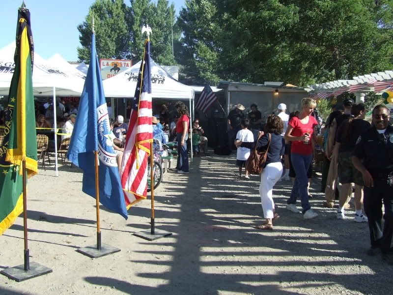
I will try to post more of this History as I find it. Please see below.


https://www.sandiegohistory.org/journal/55july/mountain.htm


MOUNTAIN SPRINGS
By B. B. Moore

In 1863 Pete Larkins and Joe Stancliff built a small house at Mountain Springs, selling meager supplies to travelers passing that way, and with their team of oxen they assisted travelers up the steep, thirty per cent mountain grade.

In 1870 the San Diego -- Ft. Yuma Turnpike Company purchased Larkins' holdings and petitioned the San Diego Board of Supervisors to allow them to establish a Toll Road and station at this location. The permit was granted, and the company operated a toll station in the old Larkins House for about six years, with Mr. Bowers as Station Agent. All that remains at present, to mark the location of the original station site, is a lone Washingtonia Palm tree and the remains of a portion of the old stone foundation.

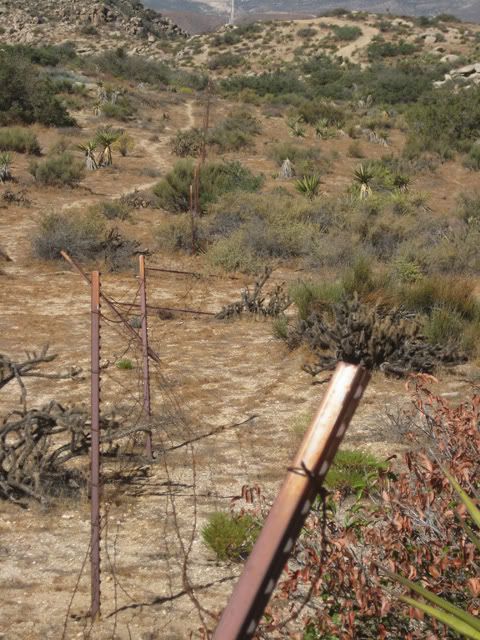
In 1878 the Board of Supervisors relocated a portion of the road above the station, and eliminated the toll road. This change of alignment brought the road into the Mountain Springs area about one-half mile north of the old stage station. At this point another spring was developed in a near-by canyon. It was at this location, in about 1860, that sheep men built some stone corrals and a small stone house. In the corrals lambing ewes were kept at night, to protect them and their young lambs from the coyotes.

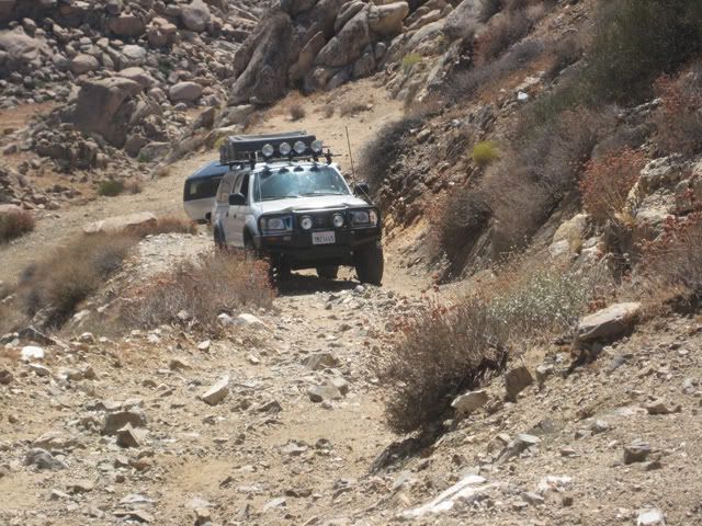
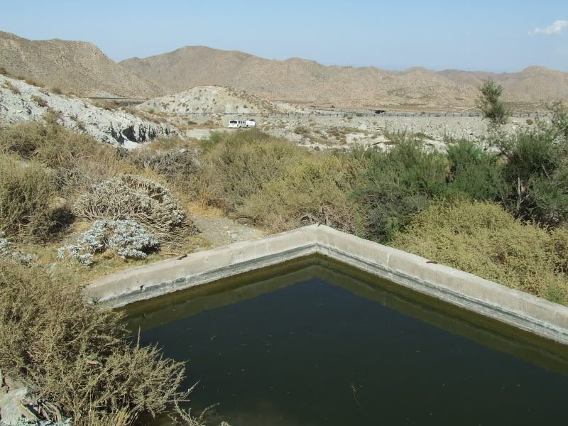
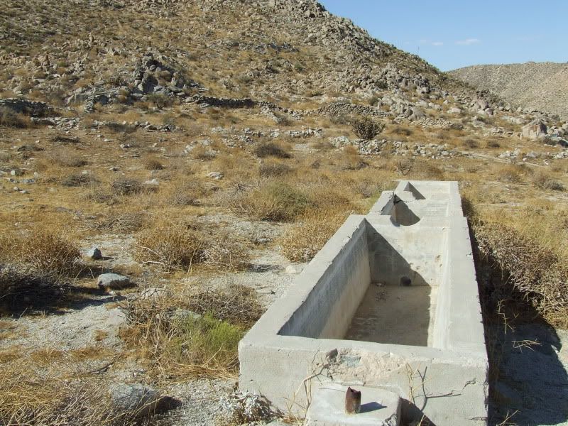
In 1900 Supervisor James Jasper constructed a new grade into the area. This new road came around the mountain from the north and terminated near the stone corrals. Jasper cleaned out the springs in the canyon, and piped the water a short distance to a large water trough at the feet of the grade; this was convenient for the sheep men, as the overflow ran into the nearby corrals.

In 1909, a new Mountain Springs Grade was constructed with monies provided by a San Diego County bond issue, to accommodate the increasing demand of the automobile. This grade entered the amphitheatre from the south and the old water trough was moved to a new location about a thousand feet to the south east from its position at the stone corrals, so that cool water could be had for the boiling radiators. A short time thereafter a small cafe and garage operated at this location, but closed when the California Division of Highways again relocated the highway a few hundred feet farther north. This is the highway that is in use as of 1955.

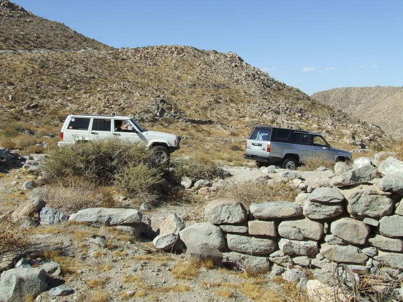
NOTE: Prior to 1907, San Diego County extended easterly to the Colorado river. In that year, Imperial County was formed, the division line between the two counties passing through the Mountain Springs area; in fact, the present highway down the grade crosses and re-crosses the County line several times.
 
S

Scenic WonderRunner

Guest
Mike,

Next time we go out there, let's try to recreate this pic.


mountaintrail.jpg


.
 

rmarz

Adventurer
There is / was a connection to hoof and mouth disease, but I can not find it documented where I can reference it. IF, that was the tall tale you are refering to. You have to watch out for those tall tales along the border though. It was great of Mark to lead a group through this often ignored corner of the county.


I heard a tall tale from somebody that the Roosevelt Line was meant to keep out undocumented Mexican cattle :Wow1:
 
S

Scenic WonderRunner

Guest
My Kodak gallery link failed, so I'm going to add a few more pics.

2009_0912EastCountyforBPRosas021-1.jpg


Live auction in progress.
2009_0912EastCountyforBPRosas021-2.jpg


Our men in green treat each other like family! It was fun to be here.
2009_0912EastCountyforBPRosas0216.jpg


The donation tub inside the La Posta Diner. Thanks again all!
2009_0912EastCountyforBPRosas0218.jpg


My dinner.....chicken n ribs on the BBQ! Yum!
2009_0912EastCountyforBPRosas0221.jpg


.
 
Last edited by a moderator:

Forum statistics

Threads
185,783
Messages
2,878,185
Members
225,329
Latest member
FranklinDufresne
Top