Idaho August 2010

snowbear

Observer
8-9 Monday. Gotta late start. Rig is loaded w/way too much stuff! After the trip thru Oregon this spring we were more prepared, spare parts, ready welder, cabin tent, air matteress, arb fridge and all the stuff that goes with camping for a stretch.

232 miles to FS campground @ Penland Lake, South of Heppner OR (note on mileage. It's not adjusted for oversized tires. GPS was reading ~5mph high at 60)

8-09track.jpg
 

snowbear

Observer
8-11 Wednesday 337 miles

8-11track.jpg


Finally got off the pavement. Left Hwy 95 headed to Silver City. Stopped a poked around on some side trails and old mines

IMG_7147.jpg


IMG_7142.jpg


IMG_7144.jpg


IMG_7159.jpg


IMG_7161.jpg


IMG_7164.jpg


Silver City Hotel

IMG_7219.jpg
 

snowbear

Observer
8-11 continued

My next project? I think it was the power plant / winch for the mine in the next pics
IMG_7213.jpg


IMG_7216.jpg


IMG_7210.jpg


They musta had a religous difference in the small town, Catholic and non-demoninational I think
IMG_7197.jpg


And Masons
IMG_7185.jpg


IMG_7173.jpg


I like the front doors... different
IMG_7177.jpg


IMG_7199.jpg
 

snowbear

Observer
8-12 Saturday 154 miles

8-12track.jpg


Leaving Sinker Creek Canyon. It rained a little over night. Fortunately it stopped. Climbing out was the first time the lockers were engaged. Little truck climbs like a mountain goat. I was pleased.

Just some pics of the trail.

IMG_7299.jpg


IMG_7303.jpg


IMG_7306.jpg


IMG_7321.jpg


Little guy wanted to play

IMG_7318.jpg


IMG_7328.jpg


On to Bruneau River and canyon

IMG_7337.jpg
 

snowbear

Observer
IMG_7336.jpg


Now crossing this is going to be fun. But that's gonna have to be somewhere else!

IMG_7339.jpg


IMG_7340.jpg


IMG_7341.jpg


IMG_7343.jpg


The first of several unfriendlys

IMG_7347.jpg


Learned from the locals that the crossing down here is gone. So we are headed over there somewhere.

IMG_7364.jpg
 

snowbear

Observer
Of course we weren't going to go back to the black top if we could avoid it so we started cross country. The GPS says there is suppose to be a POI (point of interest) out here. So off we go headed west

IMG_7377.jpg


Ah the POI - City of Rocks. Kinda interesting. Looks like years of errosion from the winds.

IMG_7380.jpg


IMG_7381.jpg


IMG_7382.jpg


IMG_7384.jpg


IMG_7386.jpg


So we continued on and found ourselves at the back of some farm land with fence going both directions. The trail eventually ran out but there was a little used gate so we turned back and headed for it. The farmer was haying and came over to let us thru. Said that most folks just turn aroundand go back. I said that wasn't in our plans :))) Talked about what was out there and what we were doing. Told him about the City of Rocks. He asked if we found anything. Sounded almost like he had never gone across the trail. Anyway he told us of a young couple that was out there a couple years ago looking to meet friends at the motel. I looked at him kinda funny, motel??? They were at the wrong City of Rocks! There is another quite a ways away from there (we'll get there later). We chuckled and moved on. His little dog ran with us for a couple miles, jumping in and out of stock tanks to cool off along the way. Was pretty entertaining to watch.
 

snowbear

Observer
After the farm land we got back on the black top, hwy 51 and went south for about 15 miles to the next trail I had marked. This one went down the west side of the canyon.

Off 51 headed east toward the canyon we passed another bombing range. This one we could get close enough, like right next to it, to take some pics. Noone was using it tho

IMG_7392.jpg


IMG_7393.jpg


On to the canyon. As the crow flies we were only a few miles from where we were on the other side

IMG_7398.jpg


That red is natural, not sure what causes it

IMG_7399.jpg


IMG_7402.jpg


IMG_7411.jpg


IMG_7414.jpg


We ran parallel to the canyon with plans to come out back on 51. There are trails on the map that don't exist on the ground. Poked around looking for something that connects to another trail finally gave up and backtracked to find a camp site. Ended up back by the bombing range

IMG_7415.jpg


Tomorrow Black Rock Crossing!
 

snowbear

Observer
Fri 8-13-2010 97 miles

So from the bombing range back to the blacktop south for a few miles to Grasmere. Kinda hoped to top of the tank but the few buildings looked like a ghost town. The only gas station had been shuttered for years.

Leaving the backtop onto nice dirt roads

IMG_7419.jpg


Learned that the locals call these the mountains. They are in Nevada.

IMG_7424.jpg


Took the turns shown on the gps to get to the canyon. At this point I'm concerned about the condition of the trail ahead. Not much traffic out here. Maybe the crossing is not passable...

IMG_7426.jpg


As we approach the canyon parts of the trail are easier to see. These are low spots where if it rains they turn into what they call gumbo. Days later we learned how nasty it is.

IMG_7428.jpg


My wife begins to question my sanity

IMG_7432.jpg


Finally can see the other side

IMG_7434.jpg


The GPS track of the canyon crossing.

BlackRockCrossing.jpg
 

snowbear

Observer
We arrive at the canyon rim and begin walking down.

IMG_7437.jpg


You can see portions of the trail down in the lower right.

IMG_7439.jpg


Looking back up the trail

IMG_7440.jpg


We jumped a couple of rattlers and that combined with the anticipation of going down this trail really got the adrenaline pumping. Those dam snakes don't make a sound till you dam near step on them. We headed back for the truck after another few hundred yards with plans to go for it. Pati says no way she is walking or spotting. That'll change on the way out :)))

So we headed down totally fired up. It's one of those times where you think back and wish it went by slower. It took a little over an hour to get down. There were several sharp switchbacks, some small ledges, skattered boulders and lots of very very narrow trail. We were so intensely focused that we didn't take one picture! I suggested we go back up and do it again. You can imagine how that went over!
 

snowbear

Observer
8-13 at Black Rock Crossing on the Bruneau River

At the bottom of the Canyon are some old buildings

IMG_7446.jpg


IMG_7445.jpg


IMG_7447.jpg


IMG_7450.jpg


IMG_7452.jpg


IMG_7457.jpg


And a little cowboy bath in the creek or cowgirl in the case:))) The cool water felt great in the 100 degree heat.

IMG_7460.jpg
 

snowbear

Observer
8-13 continued

So after a swim/bath in the creek we had lunch and moved on. Just remembered, there were lots of chucker in the creek bottom. Every where we went we were jumping coveys. The dog had fun. The trail out of the canyon was a walk in the park compared to the trail down. But this time Pati got out to walk some of it. I think she was less nervous about the snakes than my driving! Not really it was because there were a couple holes in the trail that when I came thru I was picking the uphill wheel off the ground. Figured if things went sideways at least one of us would be able to walk out for help :-|

IMG_7464.jpg


IMG_7469.jpg


IMG_7472.jpg


IMG_7474.jpg


Almost out of the main canyon looking back

IMG_7476.jpg


IMG_7477.jpg


IMG_7478.jpg


Over the rim and headed out

Bruneaupanorama.jpg
 

snowbear

Observer
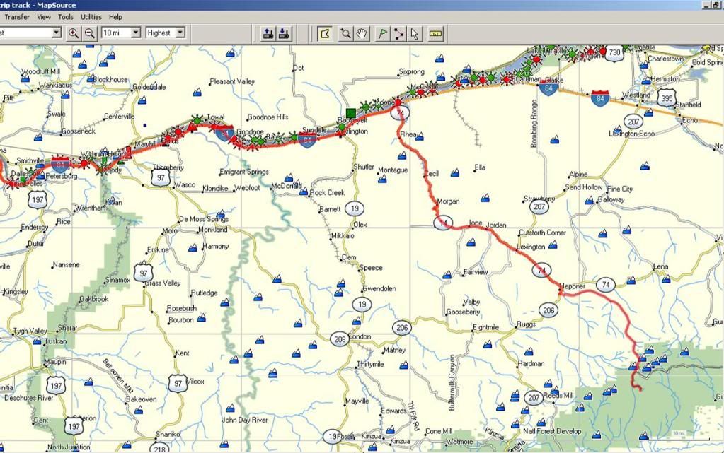
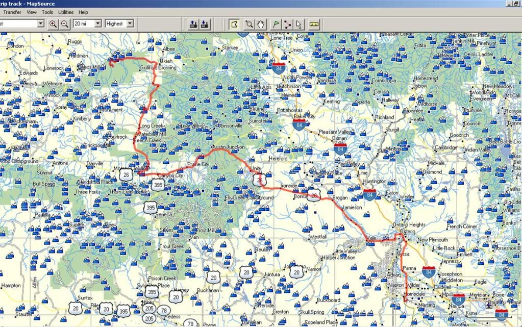
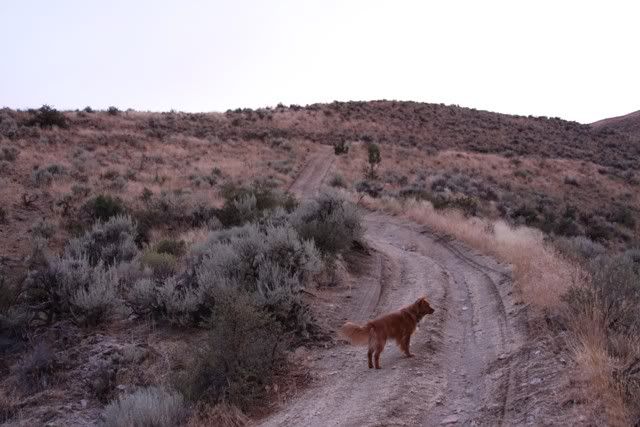
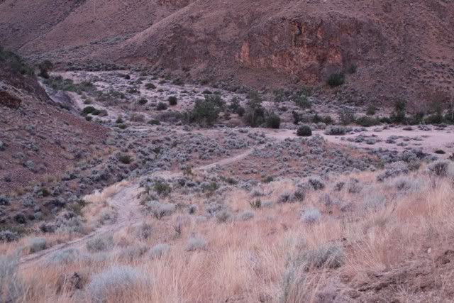
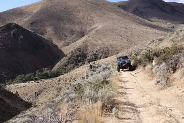
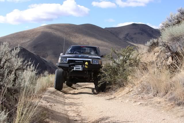
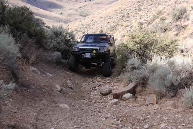
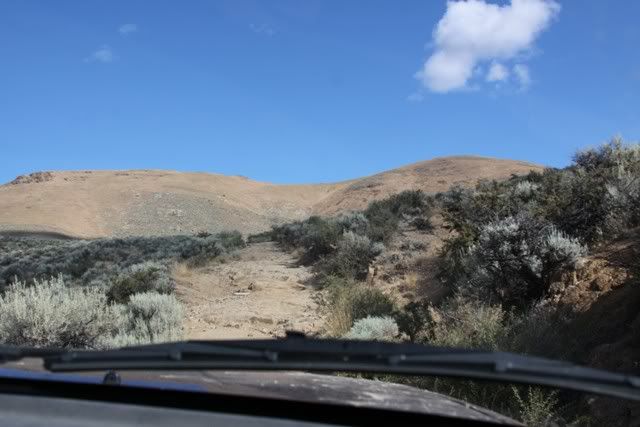
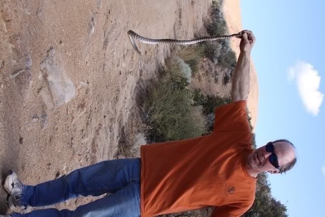
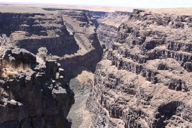
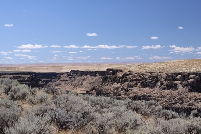
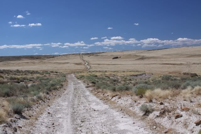
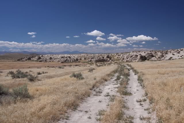
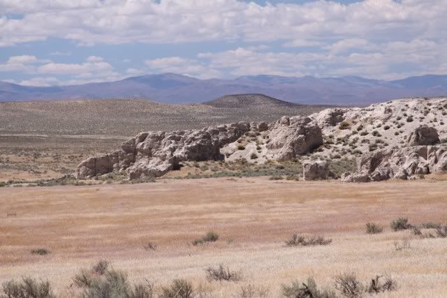
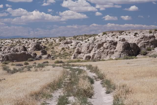
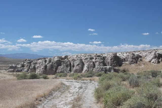
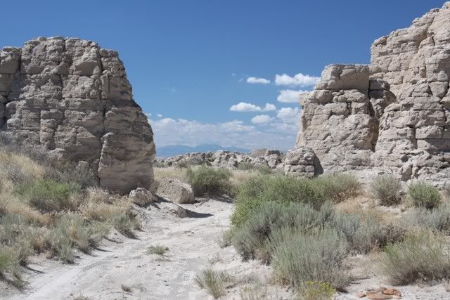
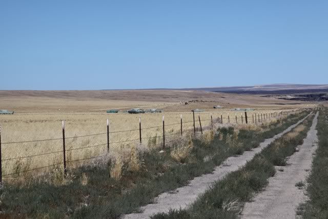
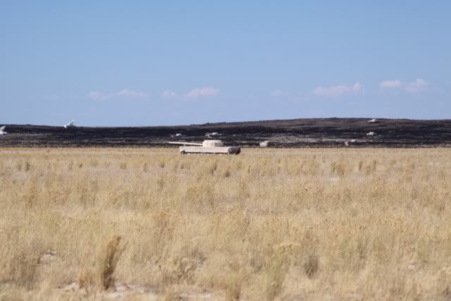
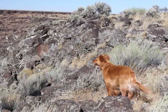
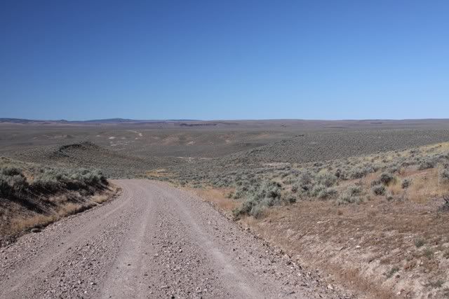
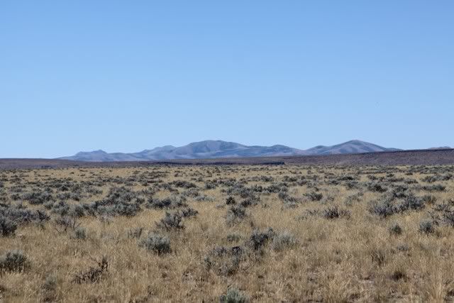
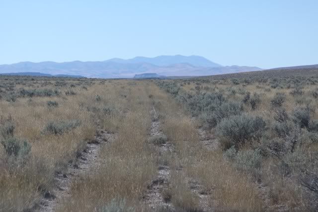
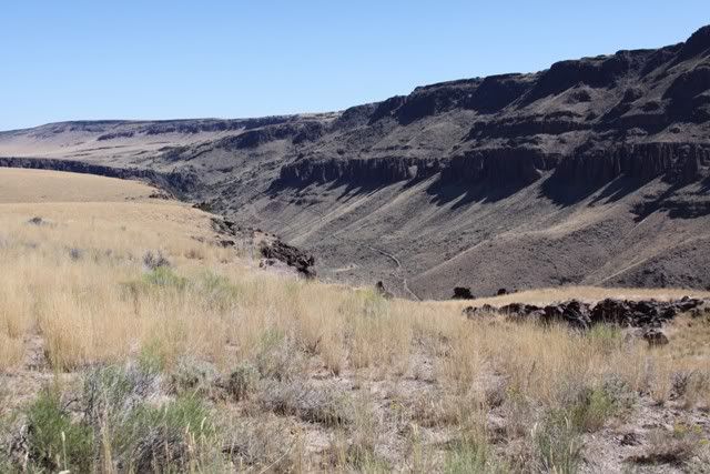
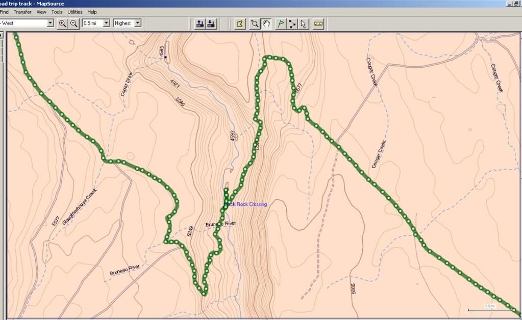
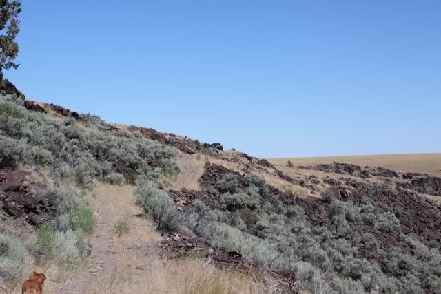
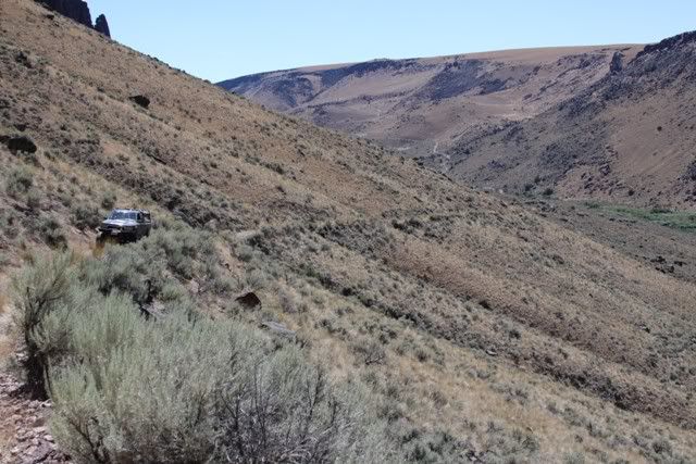
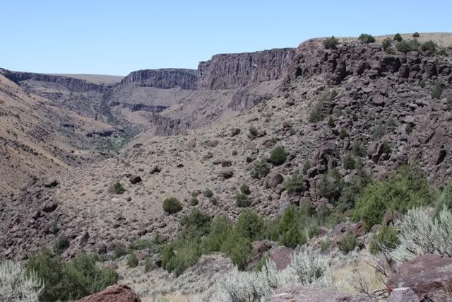
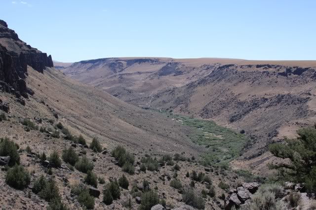
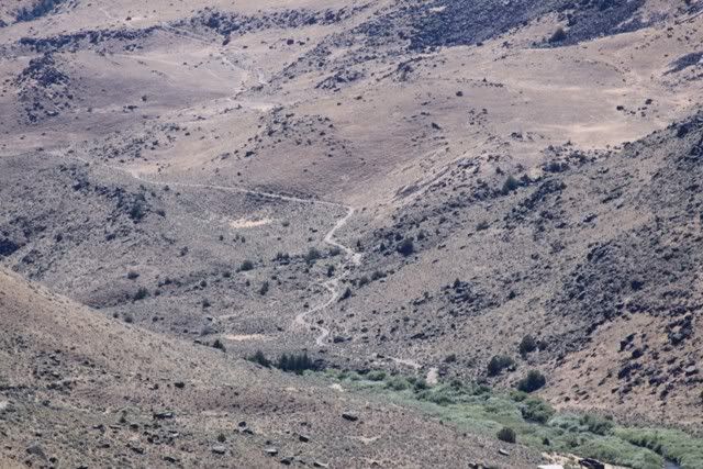
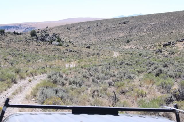
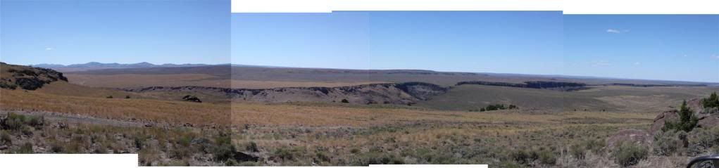
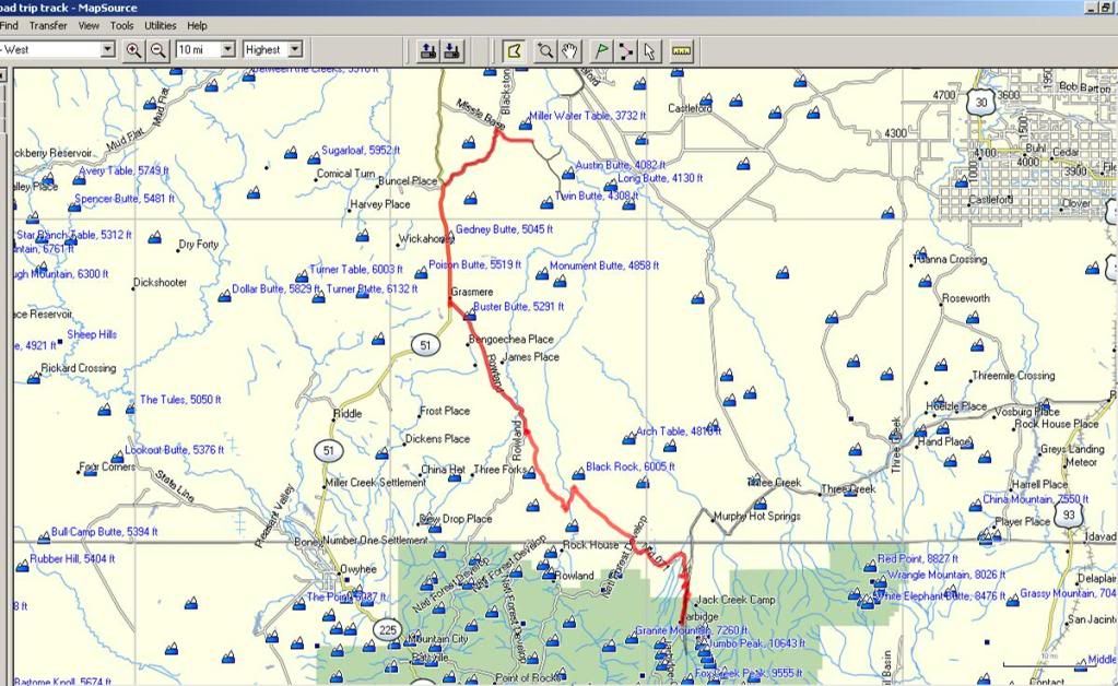
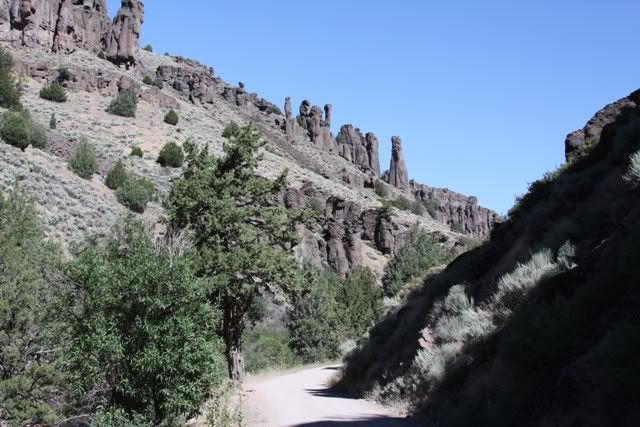
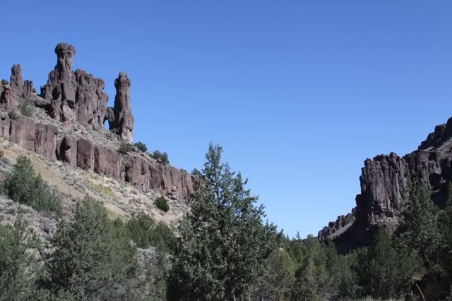
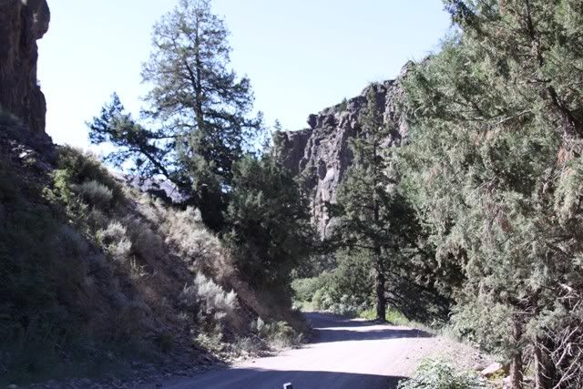
So out of the canyon and once again headed cross country on dirt roads and trails to the next canyon over, Jarbidge. This one was pretty much a road. One lane down to the river. Signs said road closed but a rancher nearby said it's only part washed out. Somewhere along this leg we crossed over to Nevada.

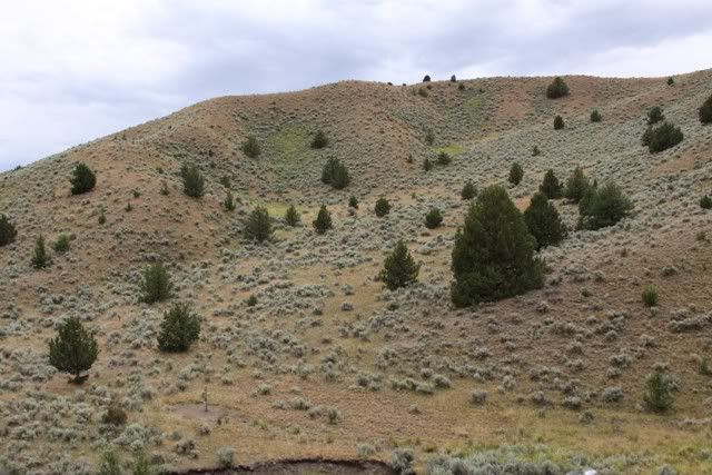
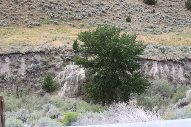
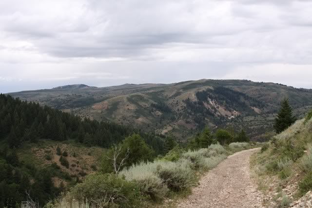
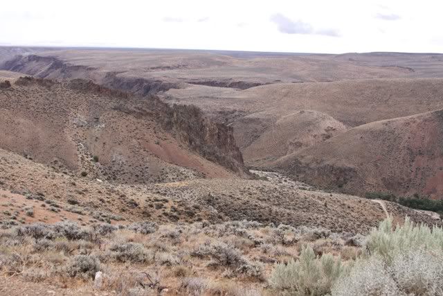
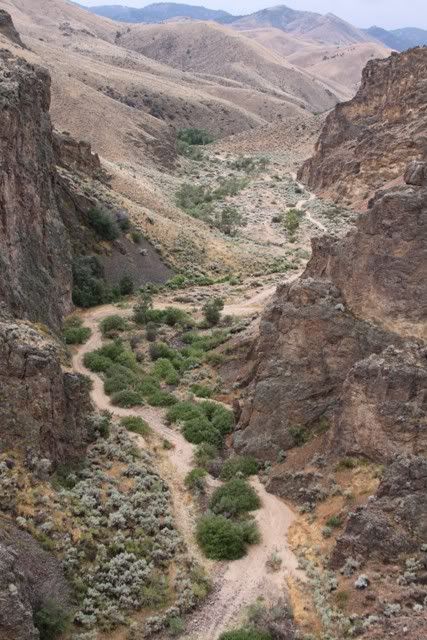
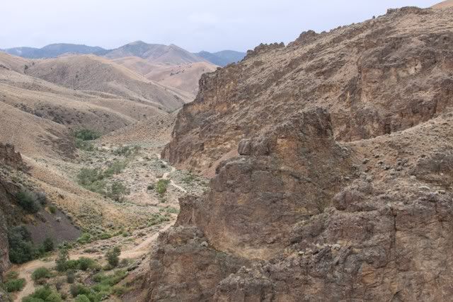
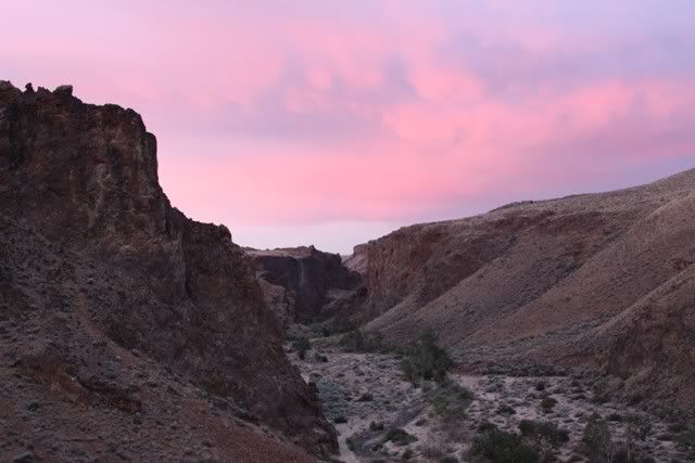
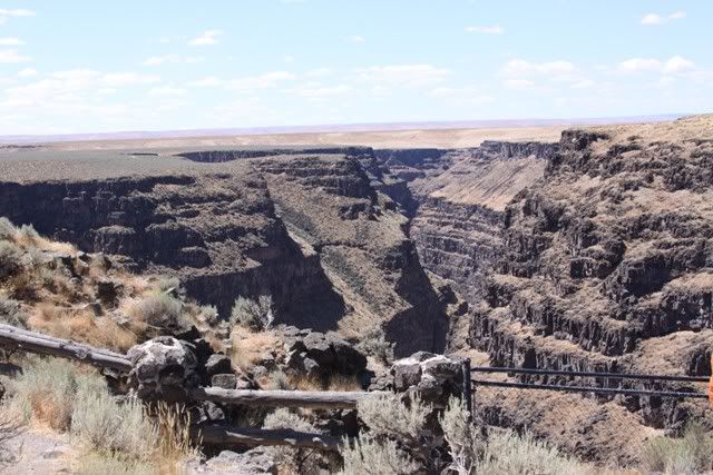
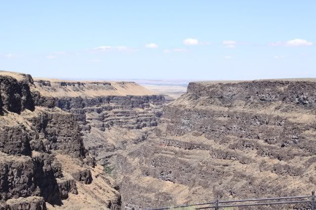
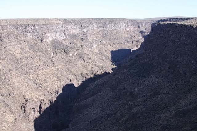
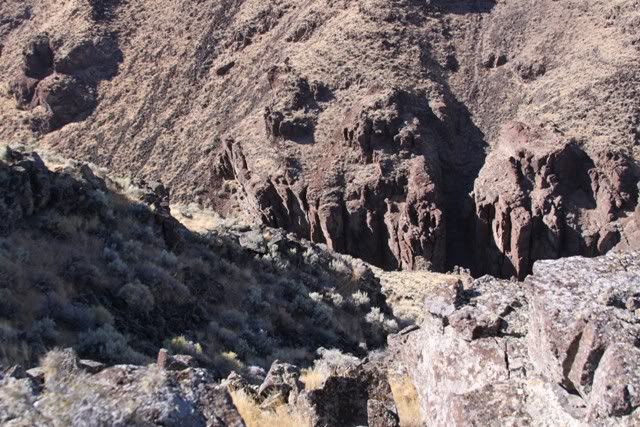
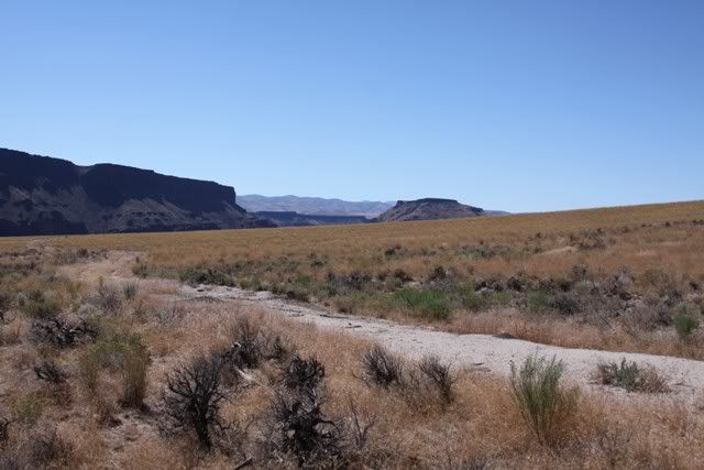
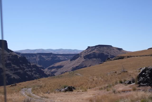
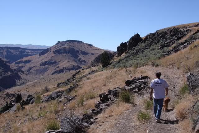
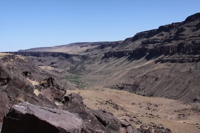
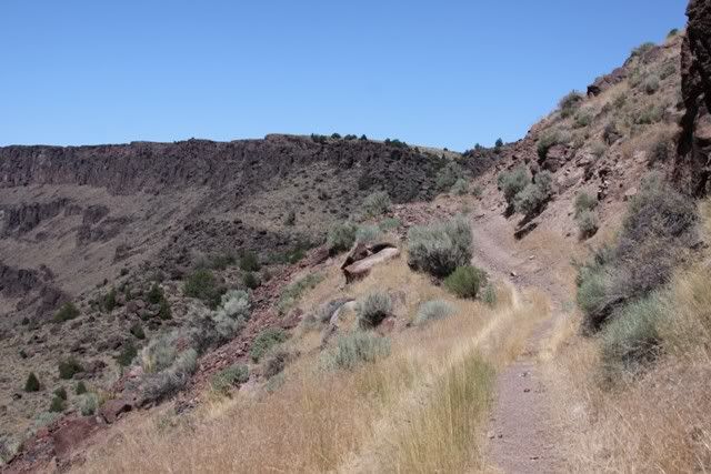
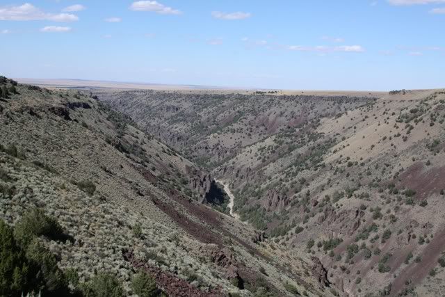
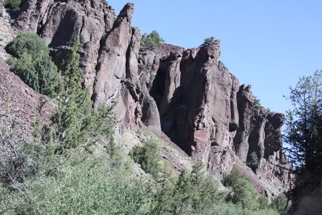
At the rim looking North
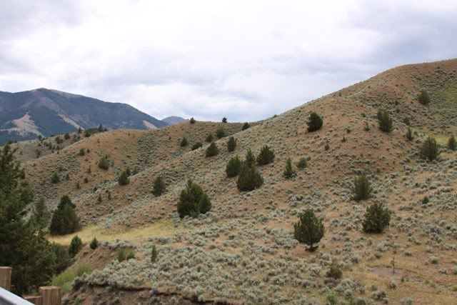
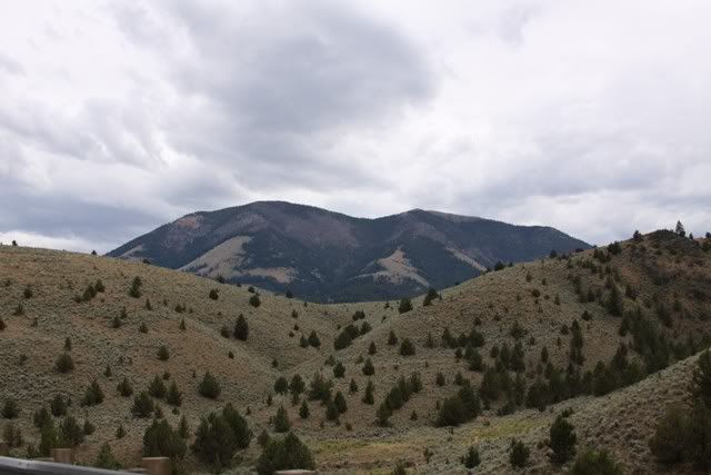
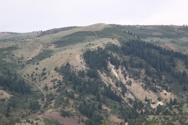
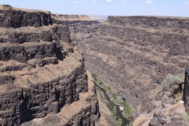
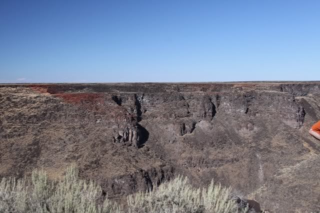
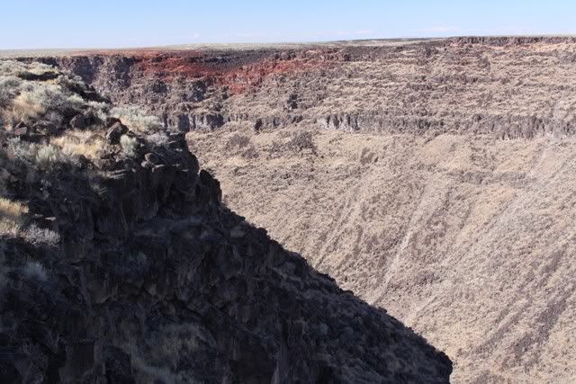
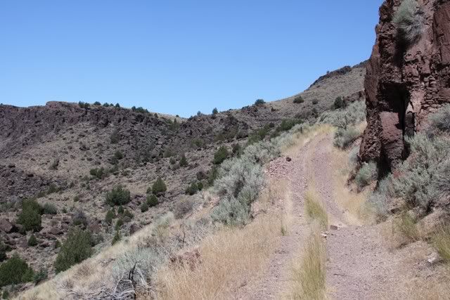
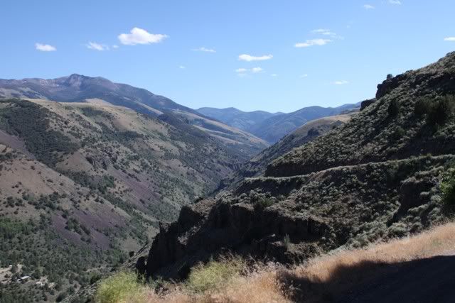
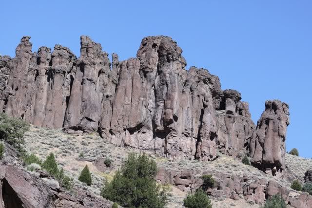
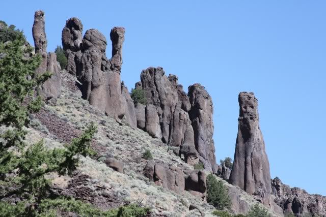
IMG_7485.jpg


and south

IMG_7486.jpg


IMG_7489.jpg


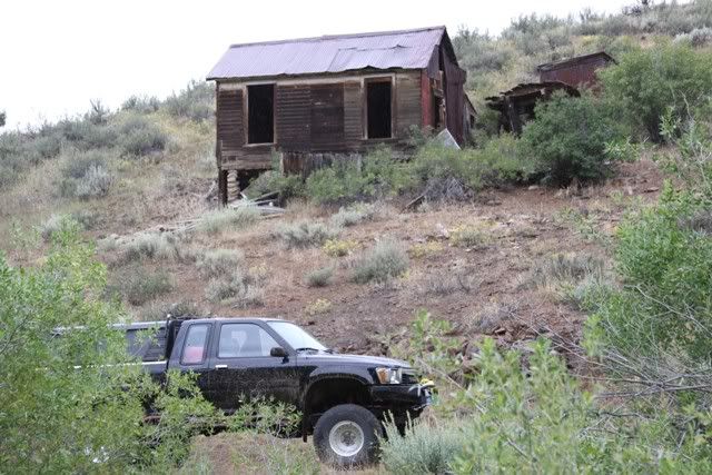
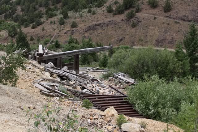
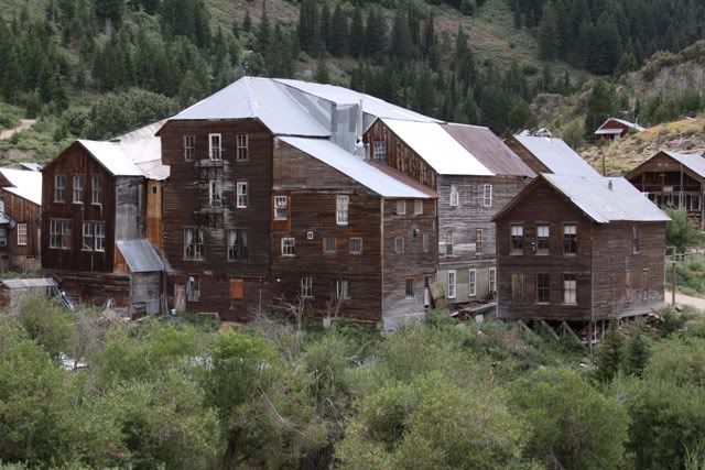
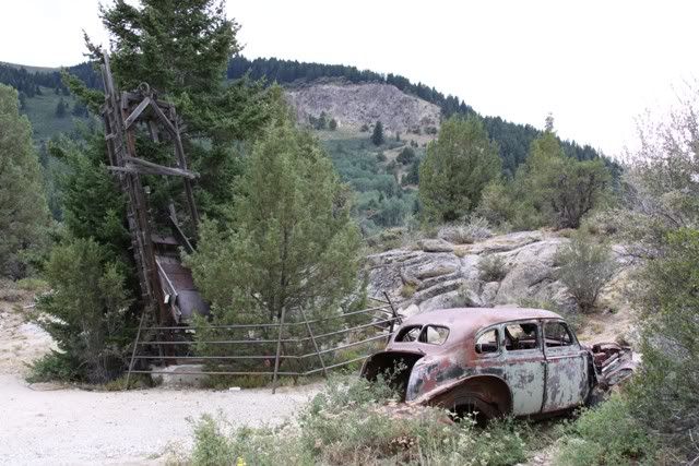
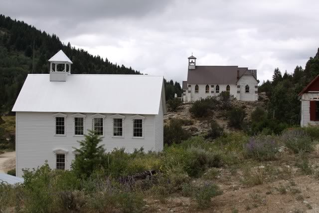
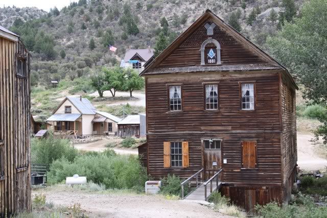
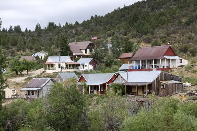
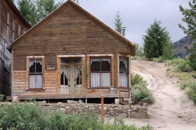
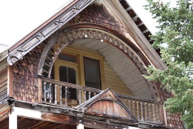
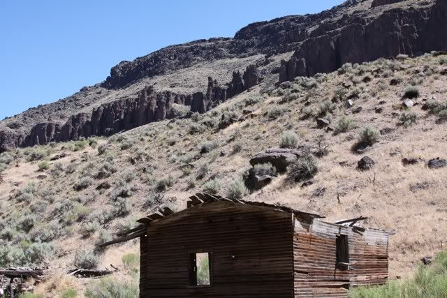
Jarbidge is a interesting little town, one road with the houses right on it. Fiercely independent. Max a 100 full time residents and maybe that many more weekender "cabins" scattered along the towns road. Lots of folks go there to play on ATVs and there were a few jeeps as well. We arrived in town at "beer thirty". At the little shanty like store a half dozen men were inside having their daily "meeting" while the ladies sat outside on folding chairs. One of the men there was born in Jarbidge back during the gold rush that started the town. The town and road is in some kinda National Park or wilderness and was removed so the folks could own their land. The road has a sign saying it is an RS2477.

They asked where we came from and told them we came across Blacks Crossing. They about fell out of their chairs "nothing but atvs and dirt bikes use that trail". We said "not anymore"! We got a bit more attention after that. By the time we left all the regulars, ~25, were there for their daily meeting :)


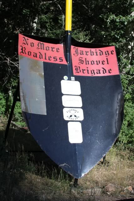
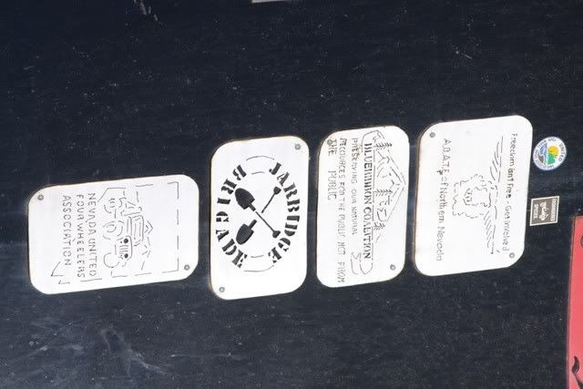
This is in the middle of town. The brass plates on the left side are signatures. Wanted to add ours but there wasn't a good way to do it short of scratching with a knife.

IMG_7491.jpg


IMG_7492.jpg


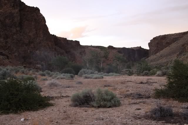
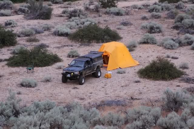
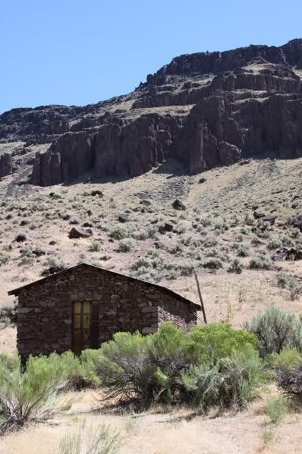
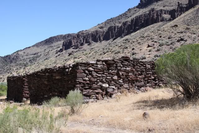
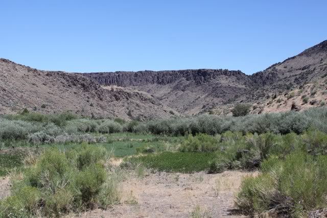
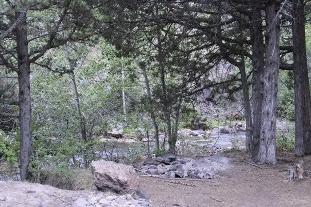
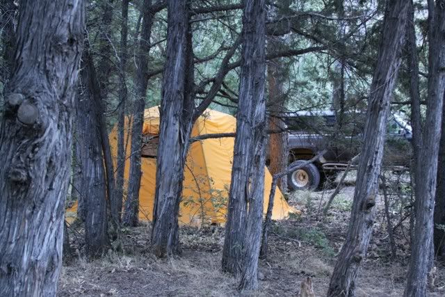
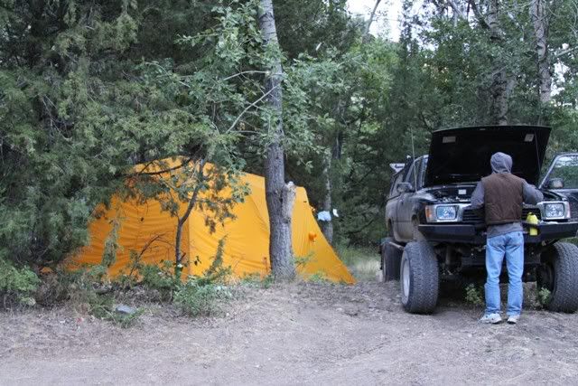
Camped along Jarbidge creek a few miles out of town

IMG_7498.jpg


IMG_7499.jpg


Not many miles covered that day but they will never be forgotten

8-13track.jpg
 

snowbear

Observer
8-14

Starting the morning same as all mornings, checking over the basics. Nice country down in the canyon.

IMG_7496.jpg


IMG_7498.jpg


Some interesting rock formations.

IMG_7502.jpg


Like sentinels watching over the road

IMG_7507.jpg


IMG_7509.jpg


IMG_7511.jpg


IMG_7516.jpg


The back trail

IMG_7514.jpg
 

Forum statistics

Threads
185,894
Messages
2,879,295
Members
225,450
Latest member
Rinzlerz
Top