Yuman Desert Rat
Expedition Leader
thanks for sharing that
thanks for sharing that
Thank you. Sometimes I am late at getting updates into the blog. I spend time researching background information and trying to lay down some words that are worthwhile.
PS: I took the time to search the BLM database and it appears that Alan and I discovered a marker that did not make it into the 2010 survey that attempted to catalog all of the GLO markers in California. Based on the marker's location with respect to the Mount Diablo meridian I am wondering if the position information on the face of the marker is incomplete. I've sent an email to a BLM contact to see if he can shed any light on it.
Very cool.
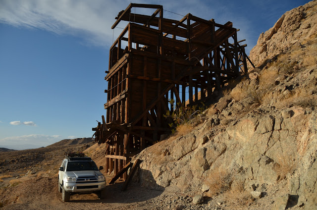
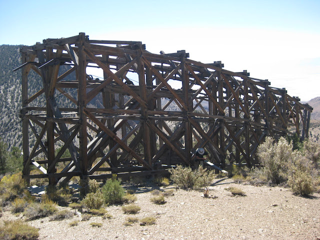
This is really cool! I hit "paydirt". I've been out to lots of abandoned sites and spotted old survey markers so now I have a little bit better idea of what they represent. For the marker that I showed it did not directly tie into anyone's property or claim. I was able to match it to a 1925 GLO survey document called a "plat"!
The U.S. Surveyor was Dupree R. Averill and the U.S. Transitman was Wesson Cook. Even though the marker says 1924 things moved slower in those days and the document was filed March 9, 1925. Lots of cool annotations such as the scale of "40 Chains to an inch". There were eight Quartz mines listed as mineral claims in one mining district. It looks like the signature of the U.S. Surveyor General for California is John Plover.
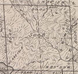
Here is Section 8 of the larger drawing and they show the stream to the NE of the center but 91 years later it is definitely to the SE of the marker.
Thanks for making me spit out my drink. Gotta love those Mel Brooks quotes.Pardon me while I whip this out........