Lord Al Sorna
Harebrained Scheming
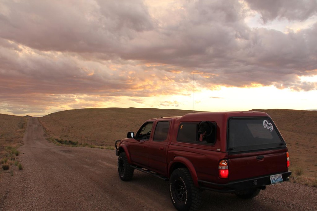
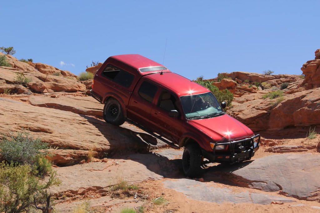
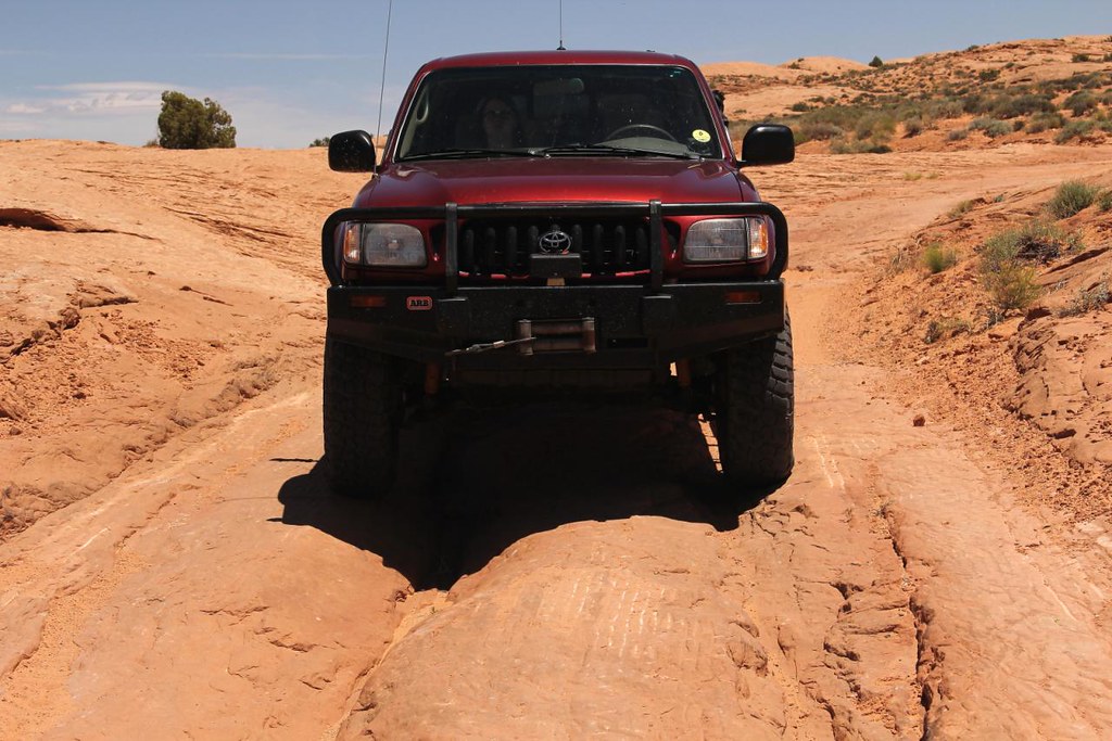
Ever since I learned of this trail I have been itching to go explore this area and experience it myself. Using the long weekend as an opportunity at make a fun trip to the Lake Powell outskirts sounded like the perfect plan, so my girlfriend and I loaded up my Taco, and we headed south with our four-legged copilots on a solo mission to reach HITR.
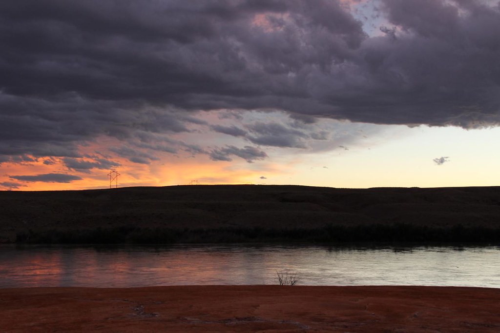
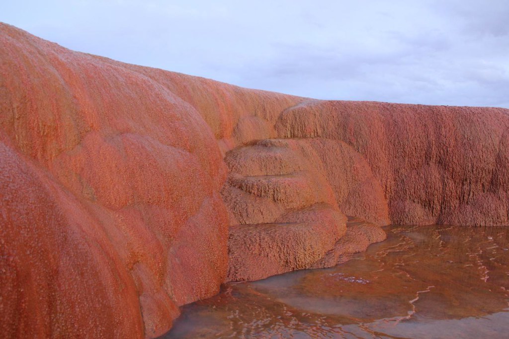
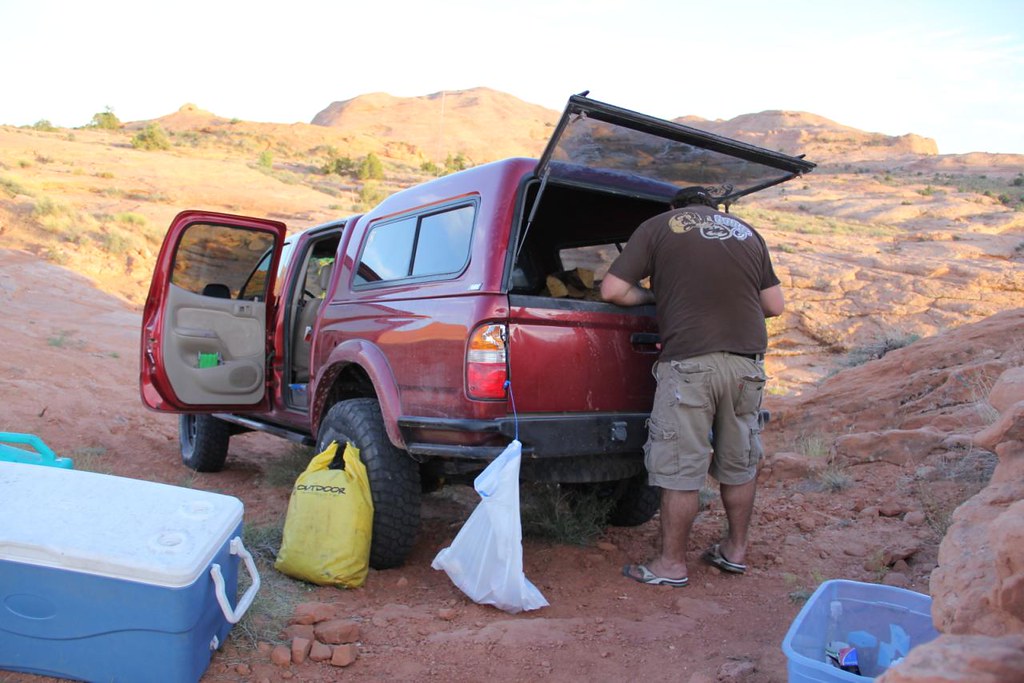
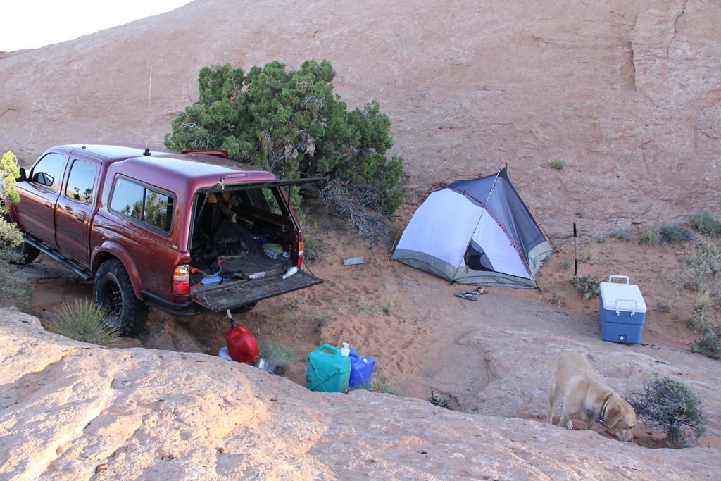
We left Park City at 3pm, and drove down to green river Friday night. We planned on camping in an area we had passed through on a previous trip to Moab, and it payed off very well. We had a relaxing evening checking out the Crystal Geyser, and camping on the banks of the Green River.
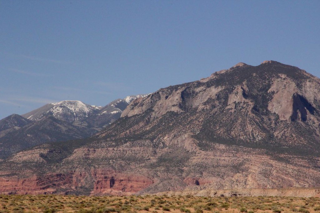
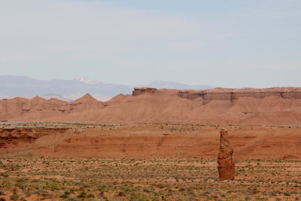
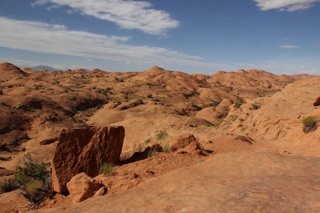
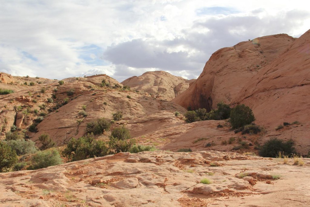
Saturday morning we broke camp and headed south on SR24 toward Hanksville. We passed by the reef area of the SR Swell, and some very interesting rock formations along the way. The Henry mountains also gave us a dramatic showing of different color schemes on our way.
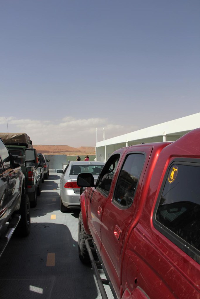
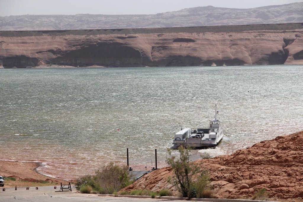
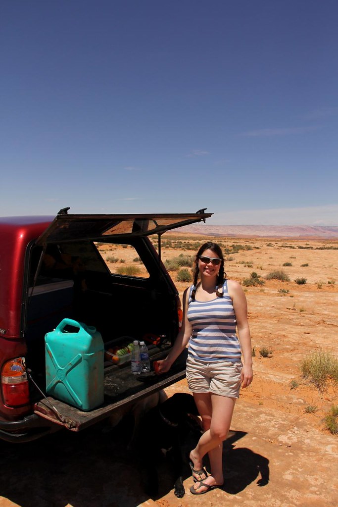
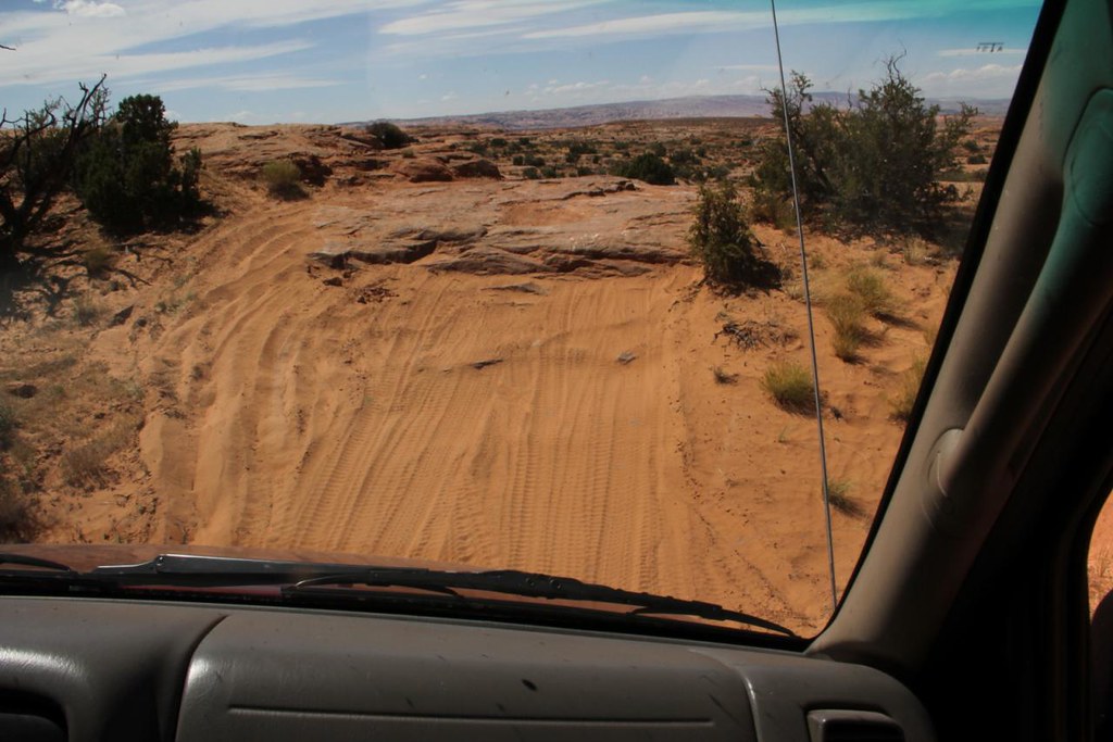
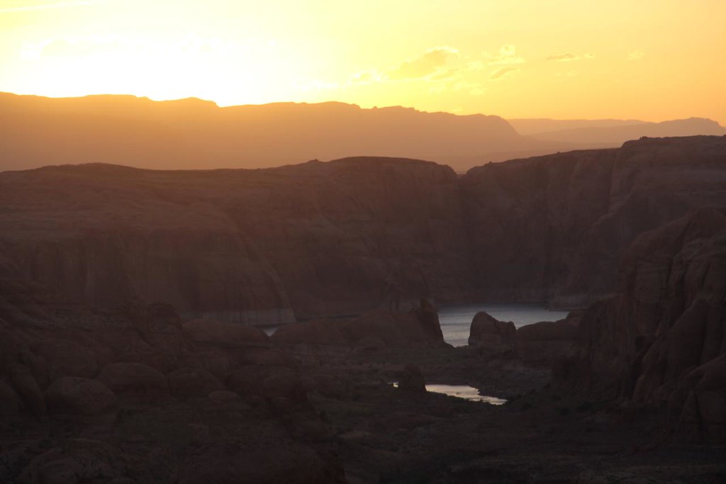
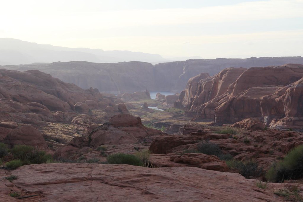
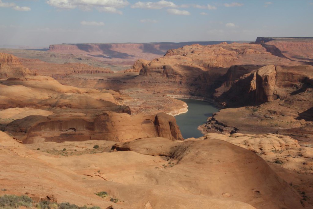
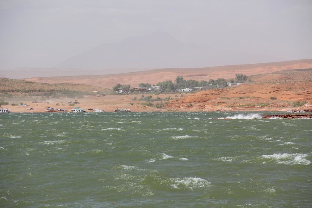
We drove to Halls Crossing via SR95 and SR 276, where we stopped for fuel and prepared for the trail ahead. We found and alternative road that meets the trail and drove in a couple of miles, where we took a quick lunch break. Due to me having older GPS information and our alternative entrance from the highway, we made our way toward Lake Canyon.
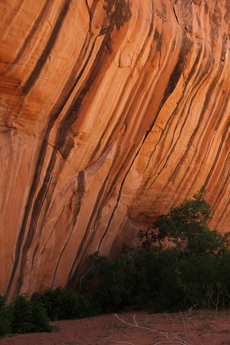
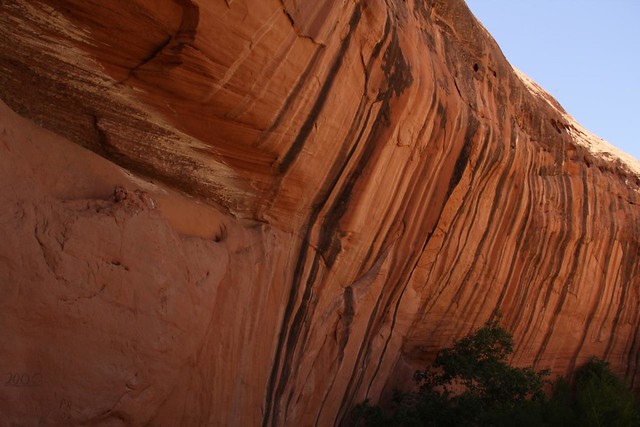
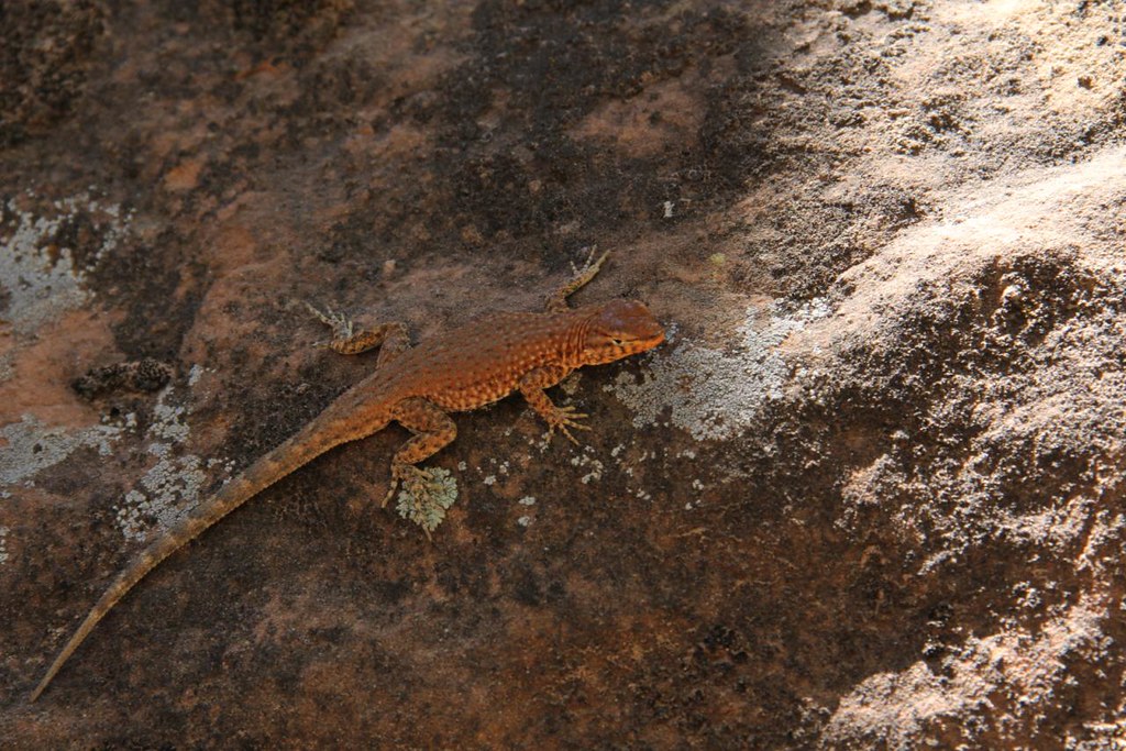
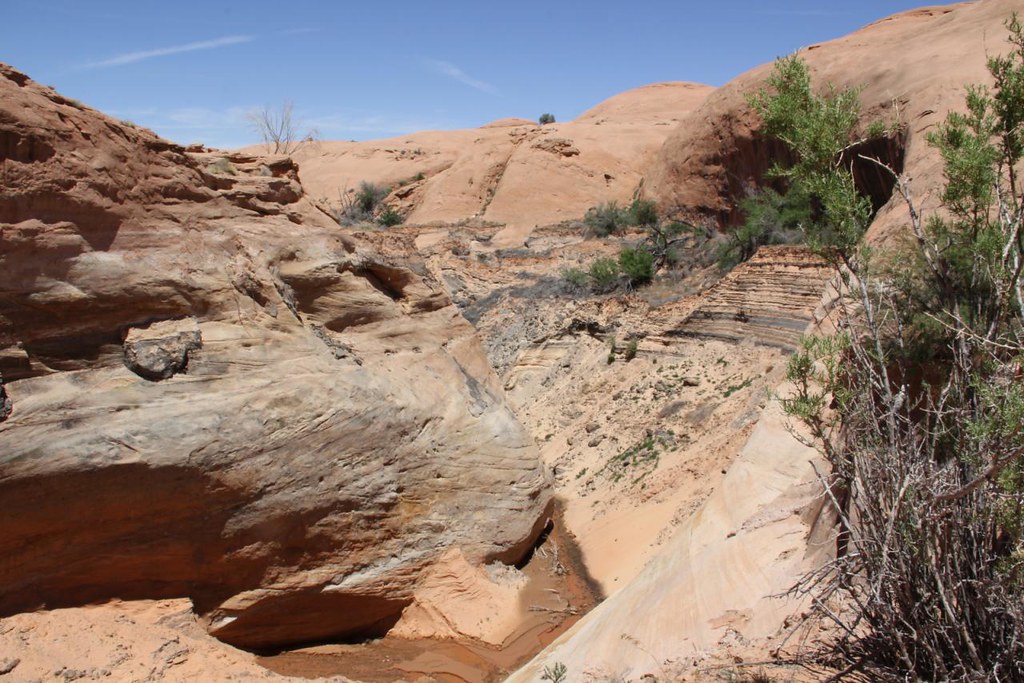
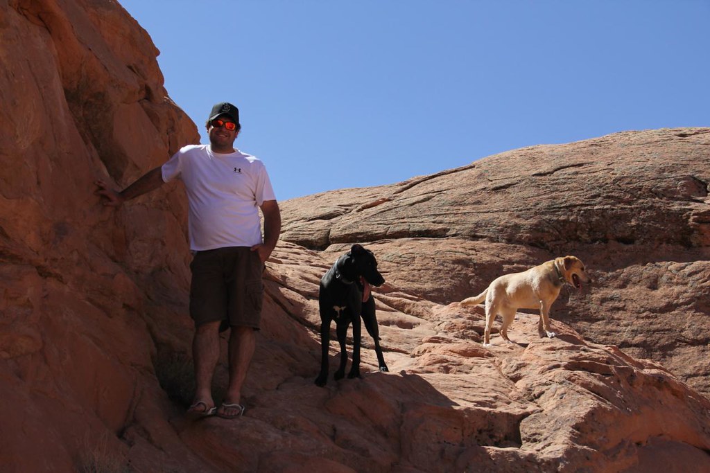
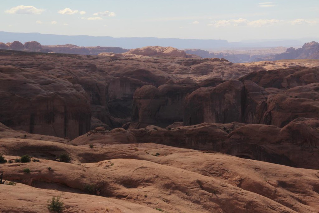
Lake Canyon was very dramatic and beautiful, and we were glad we made the accidental detour. We were able to spot multiple interesting varieties of lizard, and came across the CRAZY washout at the end of the old road. The magnitude of erosion and the amount of soil that washed away from this spot is very interesting.

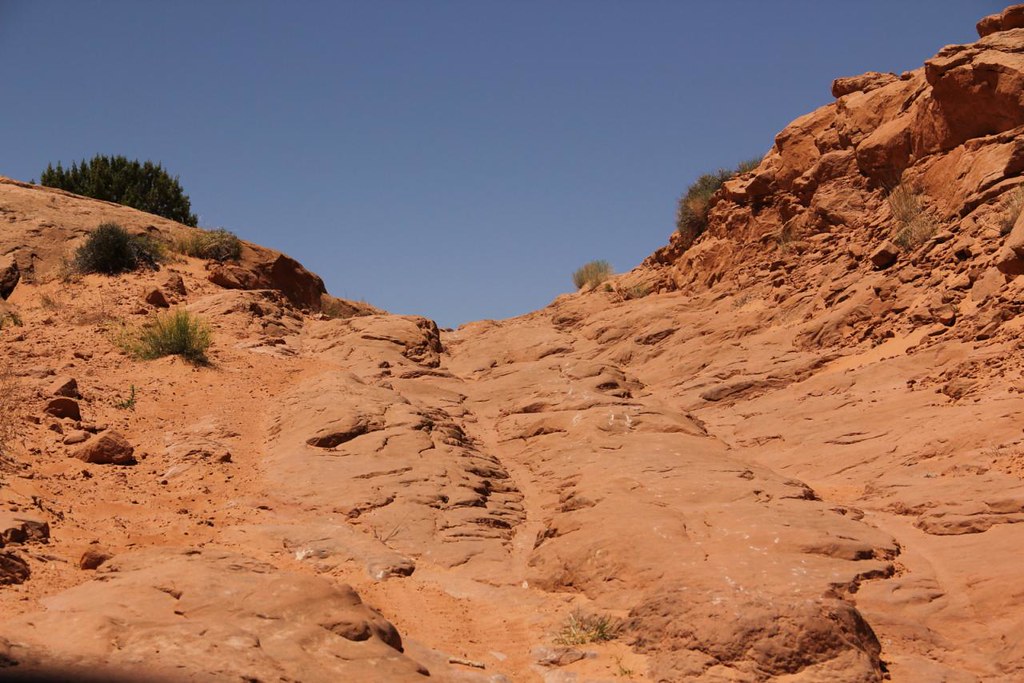
Upon the point of arriving at the washout I realized our mistake. We turned around and found the proper road at halftrack junction : )
We left Park City at 3pm, and drove down to green river Friday night. We planned on camping in an area we had passed through on a previous trip to Moab, and it payed off very well. We had a relaxing evening checking out the Crystal Geyser, and camping on the banks of the Green River.
Saturday morning we broke camp and headed south on SR24 toward Hanksville. We passed by the reef area of the SR Swell, and some very interesting rock formations along the way. The Henry mountains also gave us a dramatic showing of different color schemes on our way.
We drove to Halls Crossing via SR95 and SR 276, where we stopped for fuel and prepared for the trail ahead. We found and alternative road that meets the trail and drove in a couple of miles, where we took a quick lunch break. Due to me having older GPS information and our alternative entrance from the highway, we made our way toward Lake Canyon.
Lake Canyon was very dramatic and beautiful, and we were glad we made the accidental detour. We were able to spot multiple interesting varieties of lizard, and came across the CRAZY washout at the end of the old road. The magnitude of erosion and the amount of soil that washed away from this spot is very interesting.
Upon the point of arriving at the washout I realized our mistake. We turned around and found the proper road at halftrack junction : )
Last edited:
")