JamesDowning
Explorer
Introduction:
We just finished our first overland trip out west. We currently live in eastern Maryland, so the trip out there is a long one, but we really enjoyed our travels.
This wasn't a hardcore camping and off-roading trip. Remember, we did it as a couple, and wanted to remain that way after the trip, so we made sure to split things for her and myself. In total we did nearly 6000 miles, with approximately 120 hours in the seat over a 15 day period.
We took nearly 1400 pictures along the route, so it's been taking me a long time to go through all of the pictures, but I'm slowly getting there. I have the first few days written up already, so I'll post them immediately, but the remaining days will take a bit of time, and I cannot promise that progress will be fast, or even steady.
I figured I've enjoyed reading about so many other's adventures, I should try my hand at giving back to this excellent repository of stories and photos. So, here goes:
--------------------------------------------------------------------------
My wife and I set out Friday, Sept 9th from Maryland. It will take us 3 days of driving to get to the mountains of Colorado, with 2 planned stops between MD and CO. The first in WV with family, the next in Topeka KS.
We headed out a bit early from work on Friday, and headed out under an ominous sky. We had packed the vehicle the previous day, and it was essentially ready and waiting to go. Those of you that have taken these types of trips before may know the same feeling when you finally set off. Sadly it isn't exactly elation... more of "did I remember everything?"... "what's that noise?"... "hmm, engine is a bit hotter than normal." My mind was running through everything that could go wrong. It took me a couple days to get out of that mindset, and really begin to enjoy the drive, and begin thinking about what we were getting ourselves into.
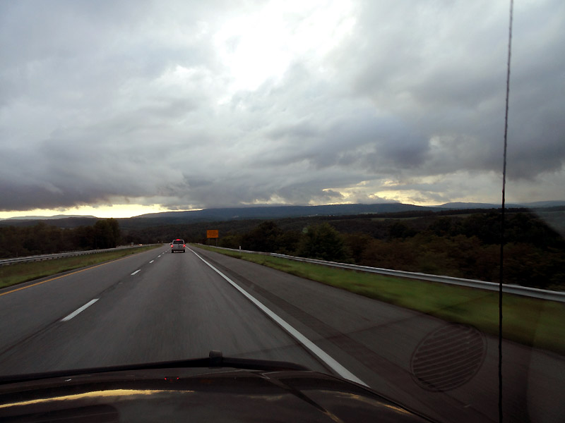
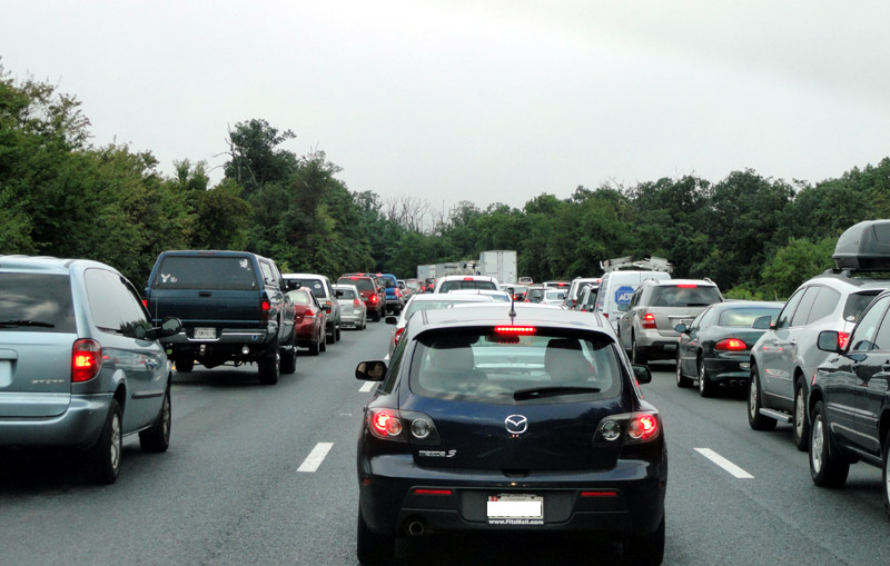
Soon after hitting the road, we hit the traffic that turned the 6 hour drive into an 8 hour drive. Not great when hitting the road at about 4pm, and getting up early the next morning.
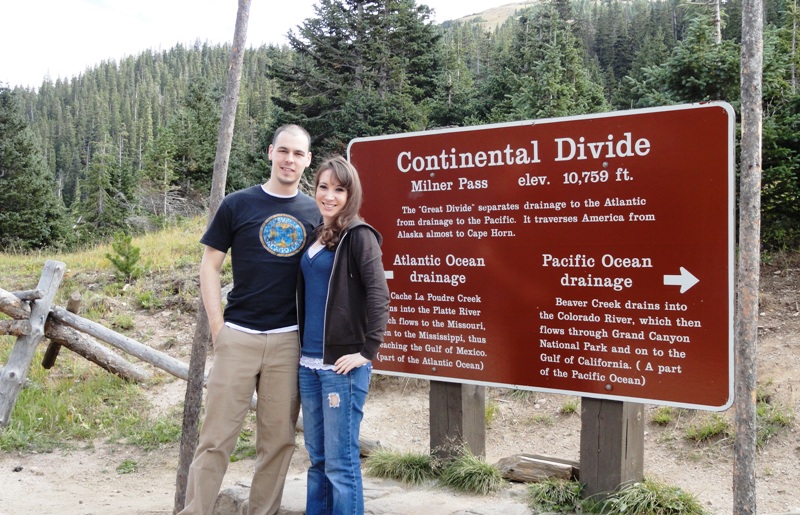
During the remaining dark hours of the drive, we passed the "east coast continental divide". Max elevations were around 2800 feet. Sounds like nothing now that we've been through CO... but those inclines will certainly challenge any heavily laden vehicle. The Trailblazer got a bit hot, but it made it to our destination for the night without drama (I was glad I had installed the powered transmission cooler though).
After a restless night and a quick breakfast with the family, we headed off.
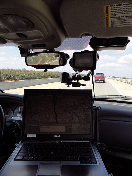
With a conventional road GPS, a laptop GPS, and a SPOT tracking our location, we headed off. We hadn't been past Kentucky by car before, so we were already venturing into new territory in our own minds. Below you can see the layout, including the dash cam setup on a suction mount (I'll do my best at getting some video from the camera up later, but that stuff takes more time than photos).
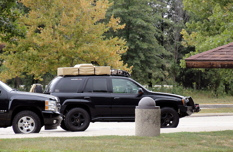
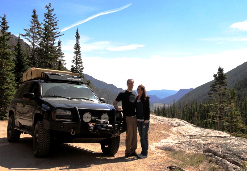
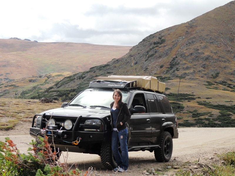
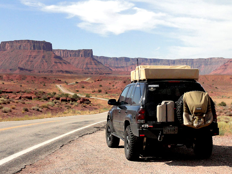
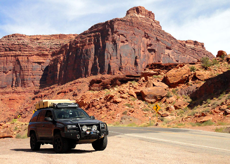
West Virginia, Kentucky, Indiana, Illinois, Missouri, Kansas... needed a rest stop in there somewhere... Here's your first peak at the vehicle we took. It's a mildly lifted Chevy Trailblazer. Unconventional I know, but it does well for our needs and parts are fairly cheap.
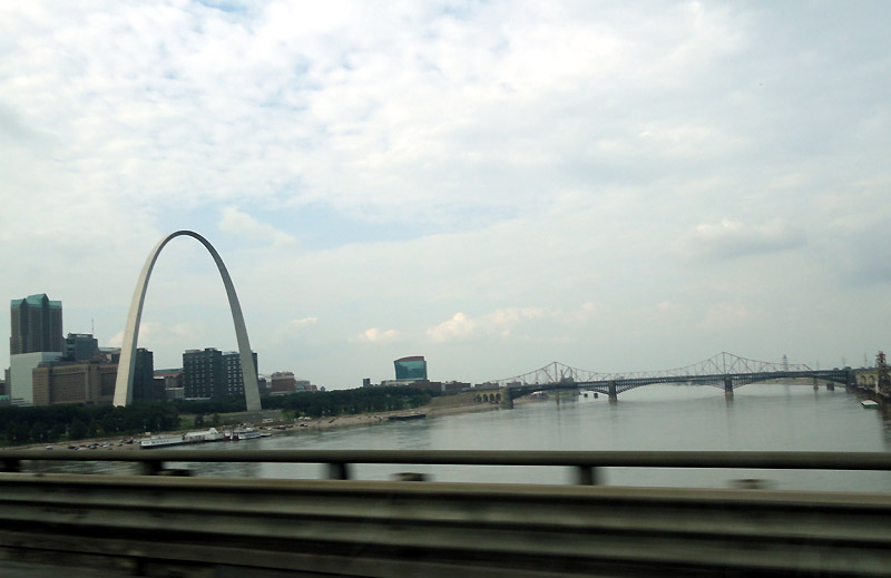
Mississippi River, and the St. Louis arch were basically the only notable location of the day.
We stayed at a fancy hotel that night to try to get more rest before the haul to Estes Park, CO for the next night.
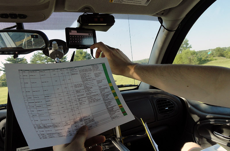
Here's a look at the itinerary sheet... and me plugging it all into the GPSes for the day. Megan said she felt like she was navigator for the space shuttle or something with all the tracking systems we had. Maybe it was overkill for much of this trip, but there were times when it was certainly nice to have each item.
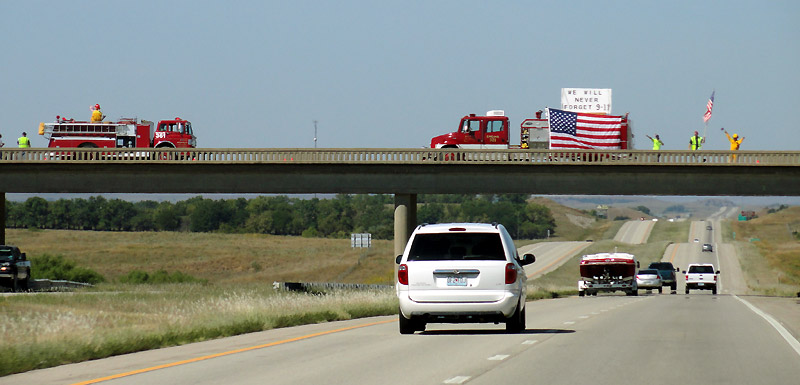
Today was also the 10th anniversary of 9-11. I thought it was incredible that even though we were in the middle of nowhere, Kansas, that every single overpass had people or firemen hanging out, waving flags, showing their support for this country. Even though there were no skyscrapers nearby, people didn't forget, and gave their time to show their support. At one overpass there was a single motionless fireman in full turnout gear, holding a flag. That single image was quite powerful and will probably stay in my mind just as some of the other images from 9-11 will.
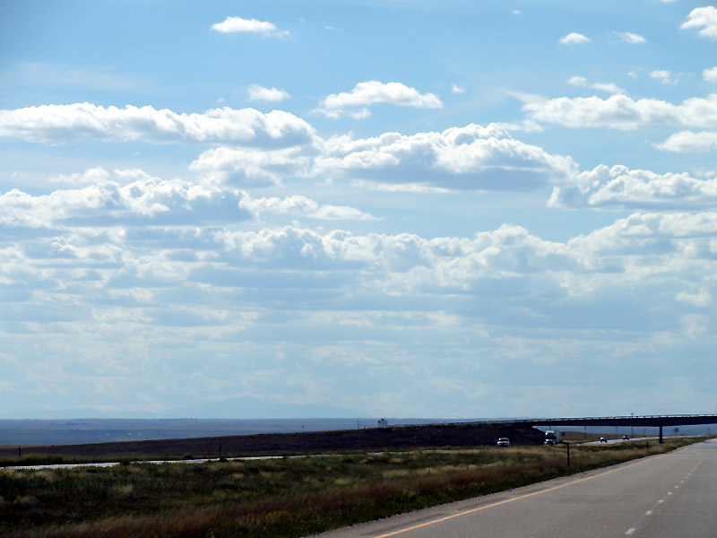
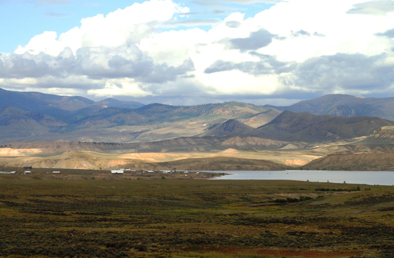
The rest of the drive was very uneventful. If you've never been through Kansas, it is actually very beautiful, but in it's own unique way. However, the beauty doesn't really carry through the entire 8 hour drive to Denver... at a certain point you just want out... your foot presses on the gas, and the fuel economy goes out the window.
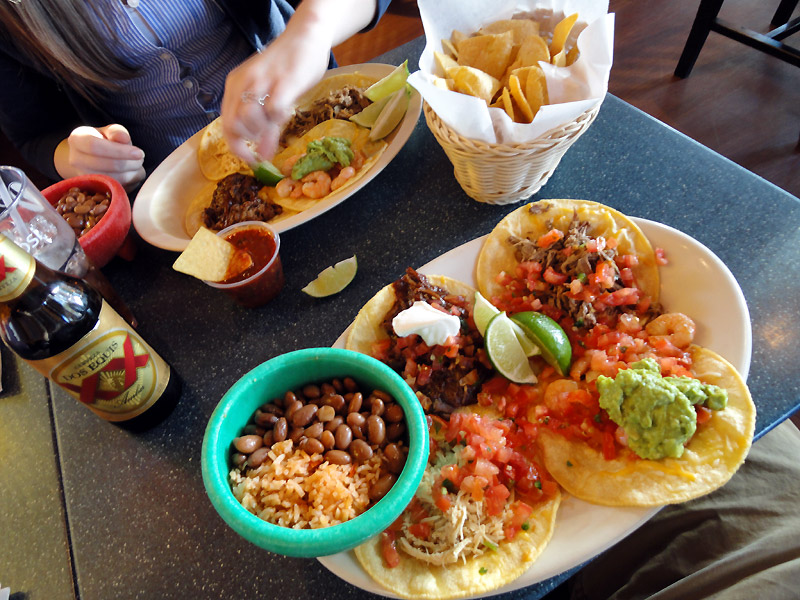
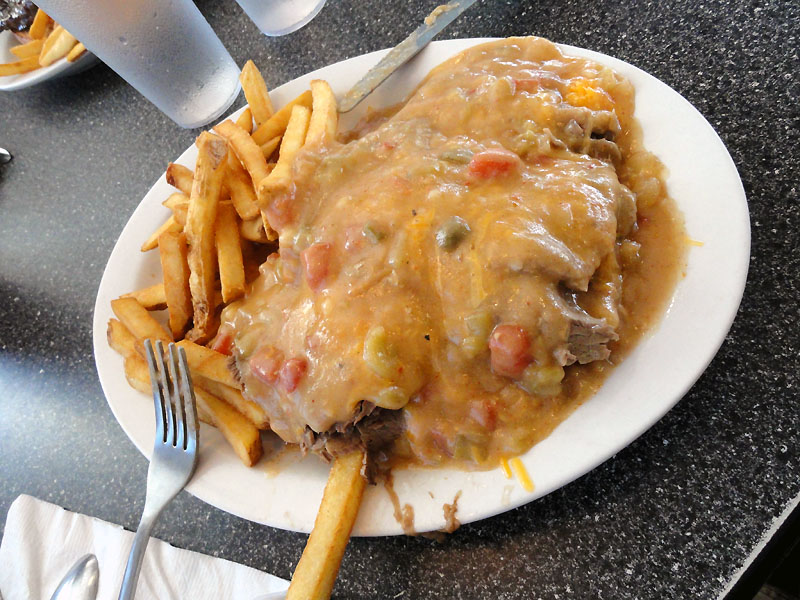
Once we got to Denver, we quickly found a good local food joint and chowed down. This was a place called "Jack-n-grill". Nice fresh Mexican food... if anyone's in the area, we surely enjoyed it. We actually found it via the Food Network's website... seems a couple of their shows have featured the joint.
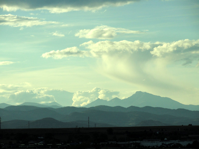
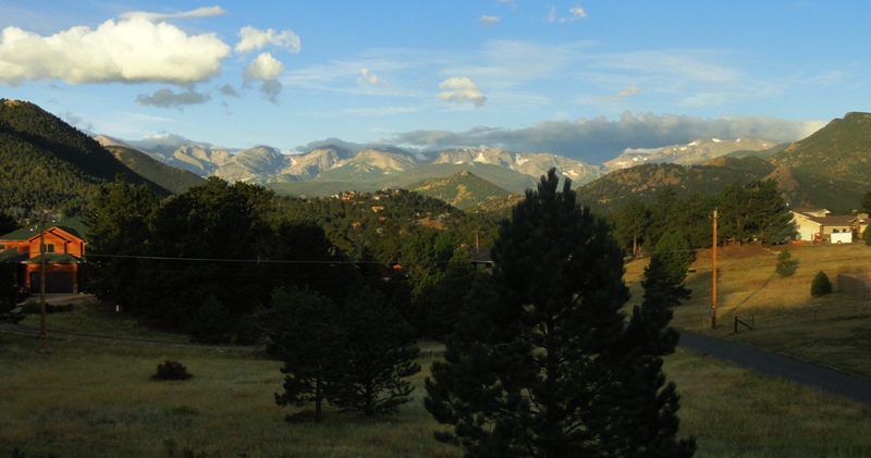
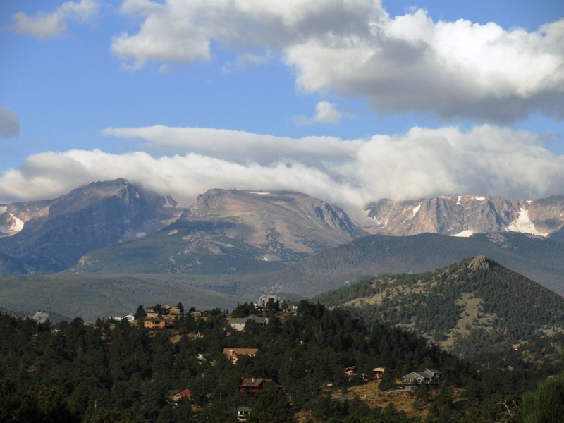
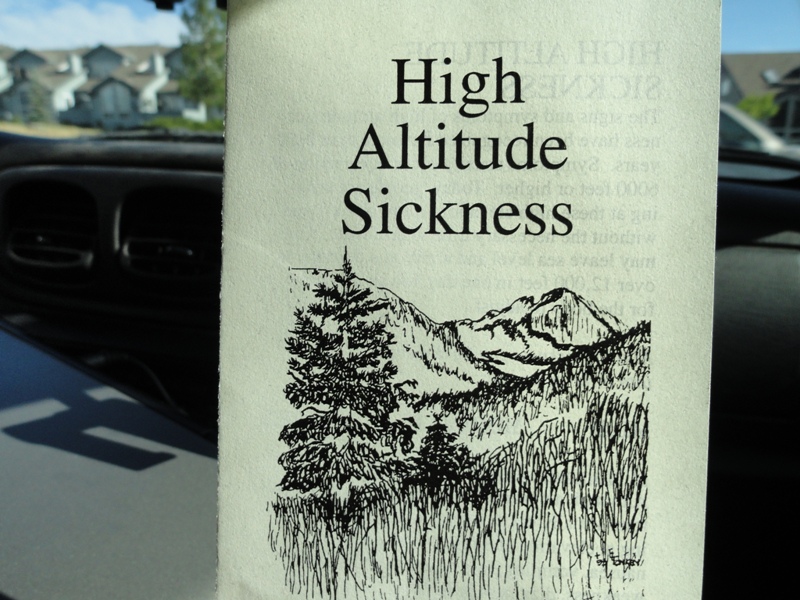
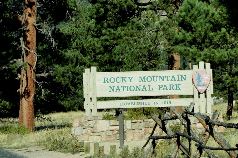
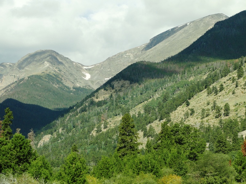
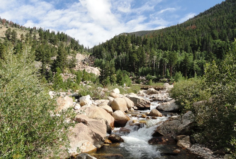
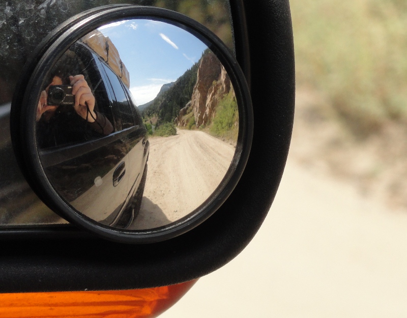
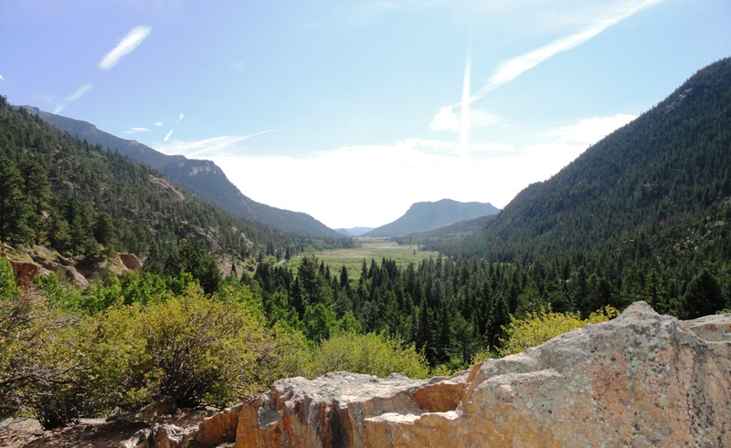
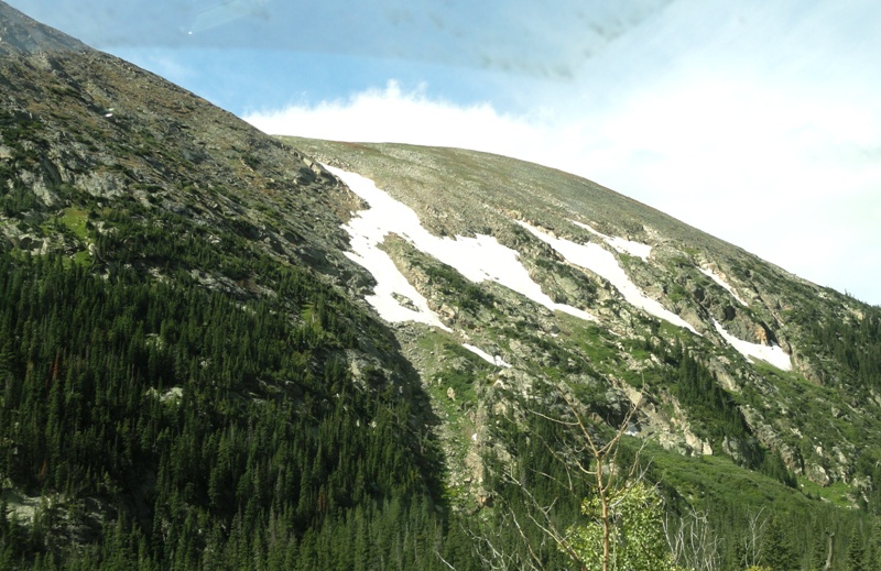
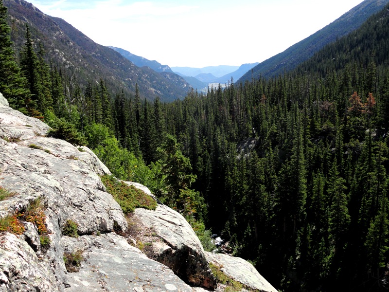
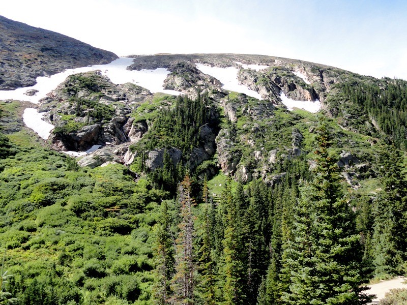
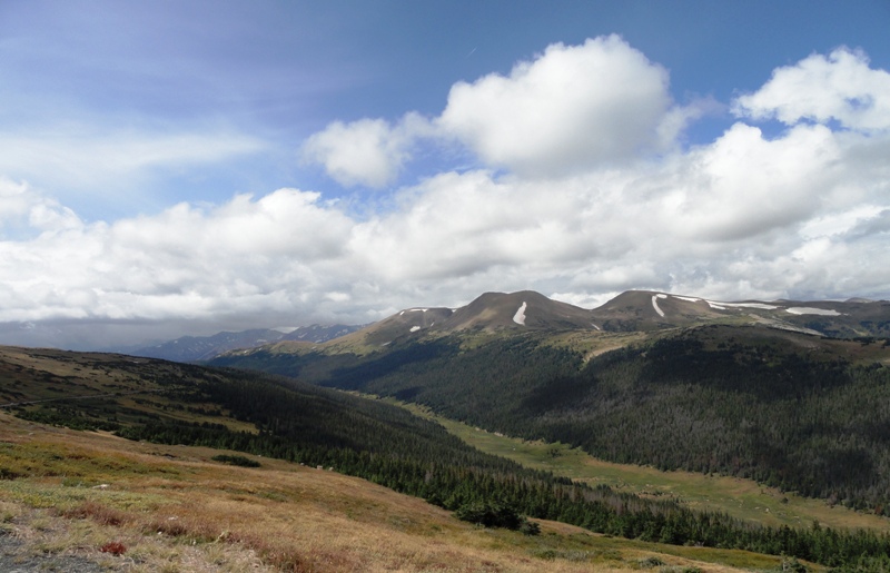
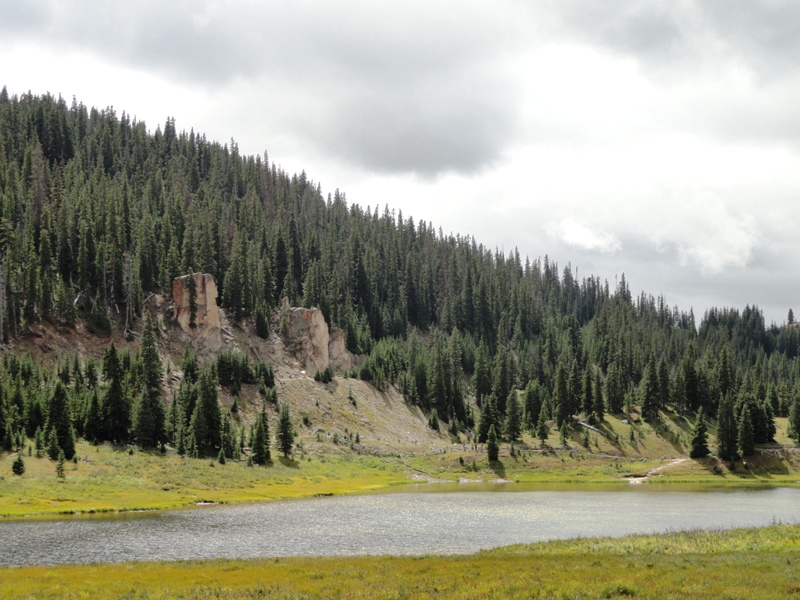
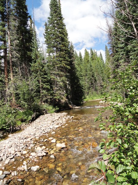
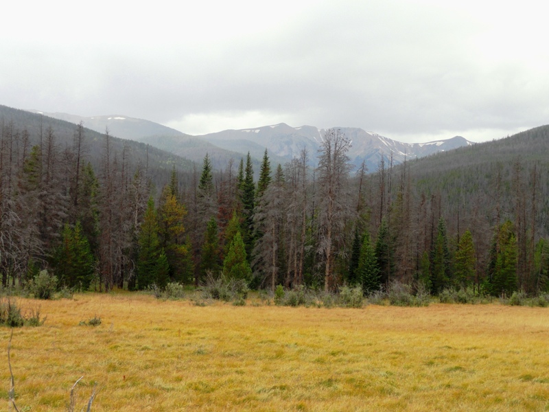
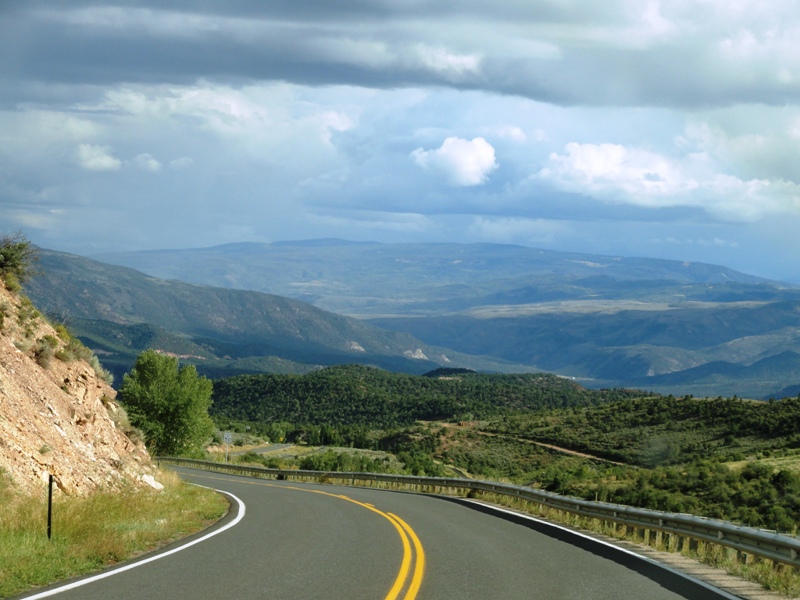
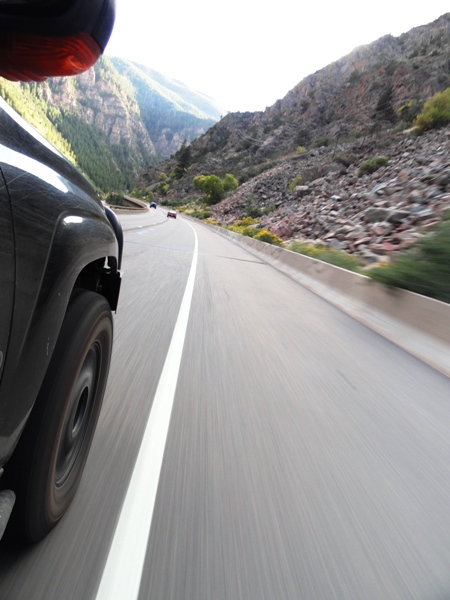
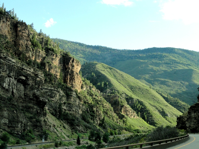
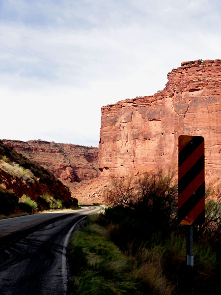
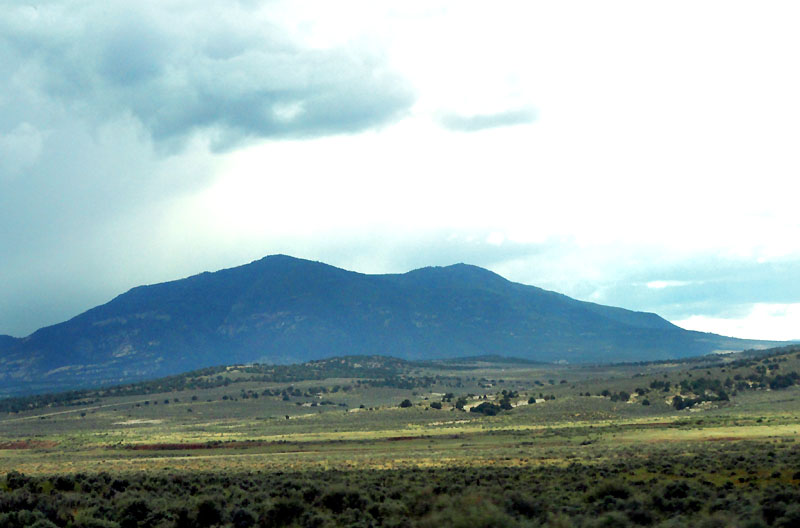
The last leg of the drive was the prettiest. It took us from approximately 5k feet to 7.5k feet in Estes Park. Much of the drive was in the dark, but we still enjoyed our first taste of the Rockies, and made us look forward to the next day, which would be the first with any time off pavement. The air cooled down, we rolled down the windows and let the smooth mountain air circle around us while we pressed on.
Here's a collage of videos from the dash cam, giving you a peek into our travel for the first few days:
We just finished our first overland trip out west. We currently live in eastern Maryland, so the trip out there is a long one, but we really enjoyed our travels.
This wasn't a hardcore camping and off-roading trip. Remember, we did it as a couple, and wanted to remain that way after the trip, so we made sure to split things for her and myself. In total we did nearly 6000 miles, with approximately 120 hours in the seat over a 15 day period.
We took nearly 1400 pictures along the route, so it's been taking me a long time to go through all of the pictures, but I'm slowly getting there. I have the first few days written up already, so I'll post them immediately, but the remaining days will take a bit of time, and I cannot promise that progress will be fast, or even steady.
I figured I've enjoyed reading about so many other's adventures, I should try my hand at giving back to this excellent repository of stories and photos. So, here goes:
--------------------------------------------------------------------------
My wife and I set out Friday, Sept 9th from Maryland. It will take us 3 days of driving to get to the mountains of Colorado, with 2 planned stops between MD and CO. The first in WV with family, the next in Topeka KS.
We headed out a bit early from work on Friday, and headed out under an ominous sky. We had packed the vehicle the previous day, and it was essentially ready and waiting to go. Those of you that have taken these types of trips before may know the same feeling when you finally set off. Sadly it isn't exactly elation... more of "did I remember everything?"... "what's that noise?"... "hmm, engine is a bit hotter than normal." My mind was running through everything that could go wrong. It took me a couple days to get out of that mindset, and really begin to enjoy the drive, and begin thinking about what we were getting ourselves into.
Soon after hitting the road, we hit the traffic that turned the 6 hour drive into an 8 hour drive. Not great when hitting the road at about 4pm, and getting up early the next morning.
During the remaining dark hours of the drive, we passed the "east coast continental divide". Max elevations were around 2800 feet. Sounds like nothing now that we've been through CO... but those inclines will certainly challenge any heavily laden vehicle. The Trailblazer got a bit hot, but it made it to our destination for the night without drama (I was glad I had installed the powered transmission cooler though).
After a restless night and a quick breakfast with the family, we headed off.
With a conventional road GPS, a laptop GPS, and a SPOT tracking our location, we headed off. We hadn't been past Kentucky by car before, so we were already venturing into new territory in our own minds. Below you can see the layout, including the dash cam setup on a suction mount (I'll do my best at getting some video from the camera up later, but that stuff takes more time than photos).
West Virginia, Kentucky, Indiana, Illinois, Missouri, Kansas... needed a rest stop in there somewhere... Here's your first peak at the vehicle we took. It's a mildly lifted Chevy Trailblazer. Unconventional I know, but it does well for our needs and parts are fairly cheap.
Mississippi River, and the St. Louis arch were basically the only notable location of the day.
We stayed at a fancy hotel that night to try to get more rest before the haul to Estes Park, CO for the next night.
Here's a look at the itinerary sheet... and me plugging it all into the GPSes for the day. Megan said she felt like she was navigator for the space shuttle or something with all the tracking systems we had. Maybe it was overkill for much of this trip, but there were times when it was certainly nice to have each item.
Today was also the 10th anniversary of 9-11. I thought it was incredible that even though we were in the middle of nowhere, Kansas, that every single overpass had people or firemen hanging out, waving flags, showing their support for this country. Even though there were no skyscrapers nearby, people didn't forget, and gave their time to show their support. At one overpass there was a single motionless fireman in full turnout gear, holding a flag. That single image was quite powerful and will probably stay in my mind just as some of the other images from 9-11 will.
The rest of the drive was very uneventful. If you've never been through Kansas, it is actually very beautiful, but in it's own unique way. However, the beauty doesn't really carry through the entire 8 hour drive to Denver... at a certain point you just want out... your foot presses on the gas, and the fuel economy goes out the window.
Once we got to Denver, we quickly found a good local food joint and chowed down. This was a place called "Jack-n-grill". Nice fresh Mexican food... if anyone's in the area, we surely enjoyed it. We actually found it via the Food Network's website... seems a couple of their shows have featured the joint.
The last leg of the drive was the prettiest. It took us from approximately 5k feet to 7.5k feet in Estes Park. Much of the drive was in the dark, but we still enjoyed our first taste of the Rockies, and made us look forward to the next day, which would be the first with any time off pavement. The air cooled down, we rolled down the windows and let the smooth mountain air circle around us while we pressed on.
Here's a collage of videos from the dash cam, giving you a peek into our travel for the first few days:
Last edited:
")