BorregoWrangler
Rendezvous Conspiracy
SoCal & AZ Overland Adventure
Dec. 2011

Highlights:
Bradshaw Trail
Cibola National Wildlife Refuge Trail
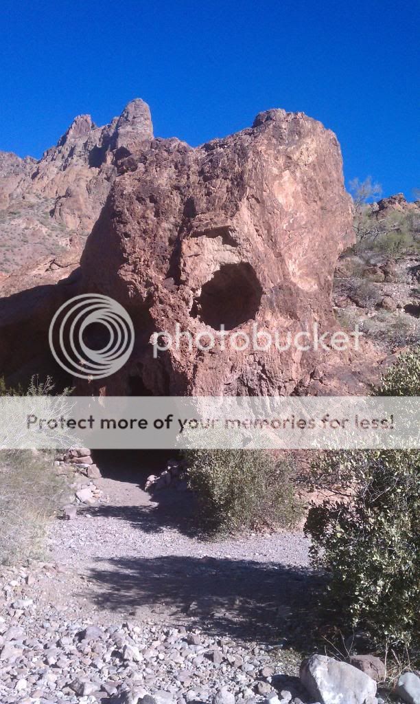
Black Mountain
Picacho State Recreation Area
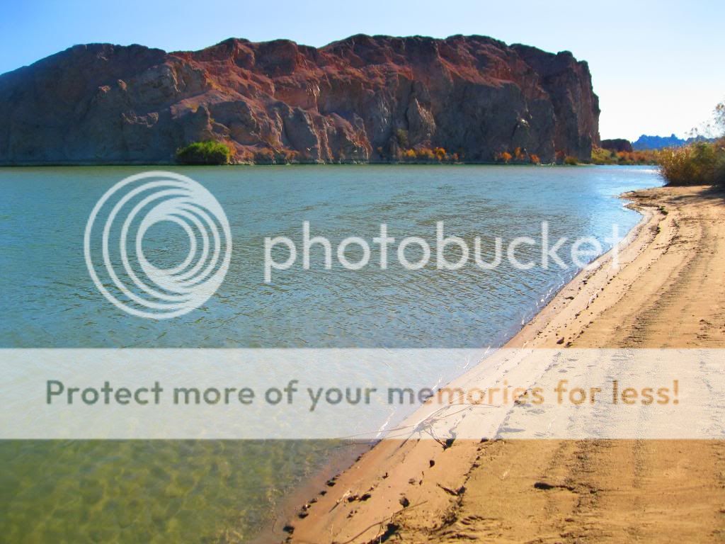
Ferguson Lake/Lower Colorado River
Imperial National Wildlife Refuge: Red Cloud Mine Road (Arizona)
Kofa National Wildlife Refuge: Palm & Kofa Queen Canyon (Arizona)
Overall route.
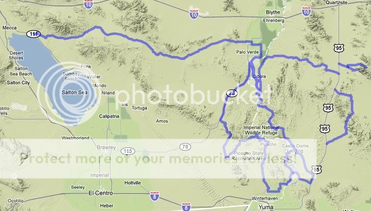
This was an overland route that I've wanted to do for some time now, to not only explore new trails and areas but to also scout out new places to fish. I had four days available over the long holiday weekend so I made my plans, got my gear together and set out. On average I would cover about 100 miles a day.
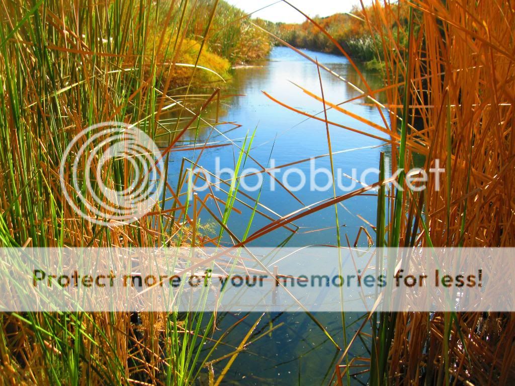
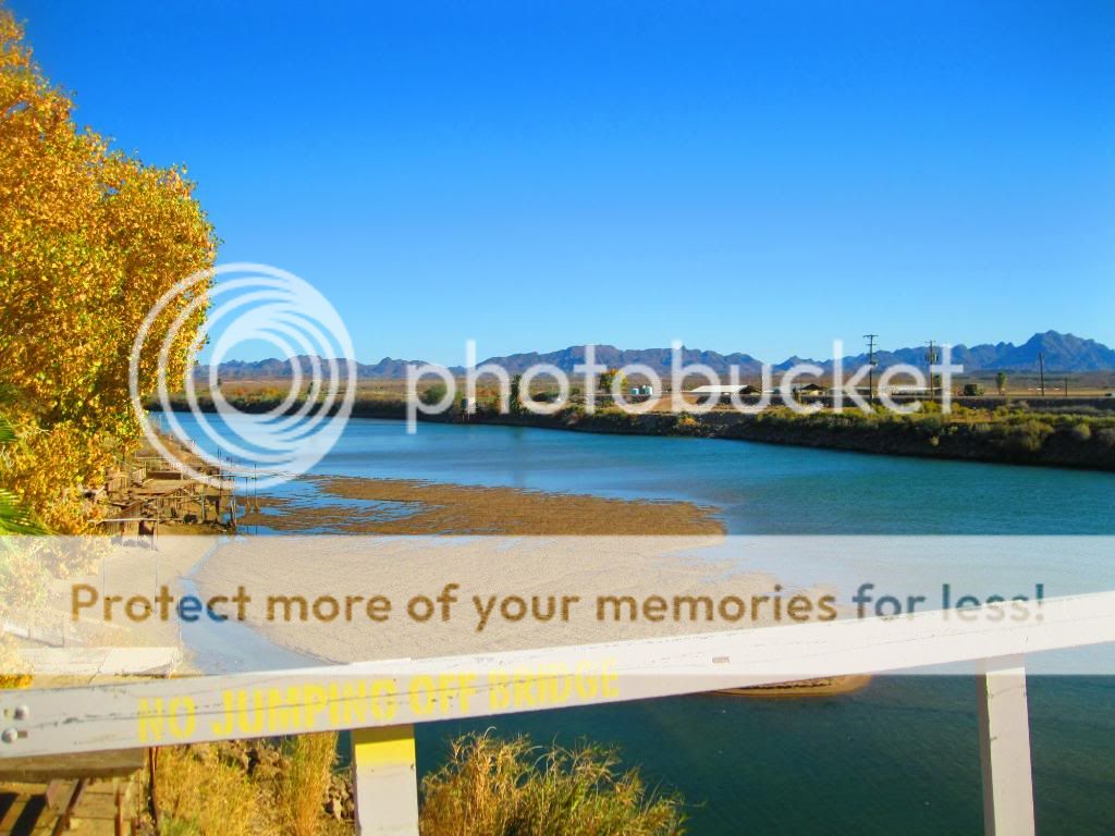
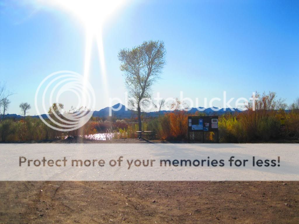
My first stop was on the east side of the Salton Sea and the Bradshaw trail. The end of this trail would put me just a few miles from the Cibola National Wildlife Refuge, along the Colorado River where I would set up camp fir the first night.
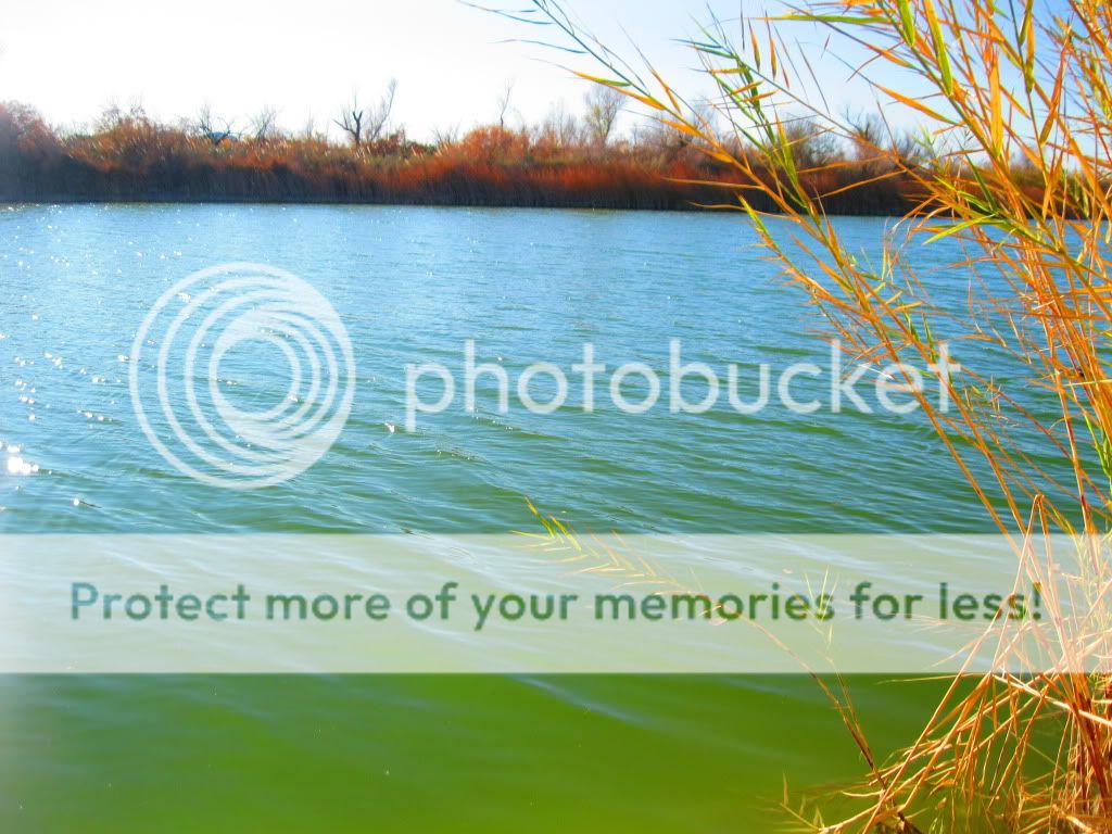
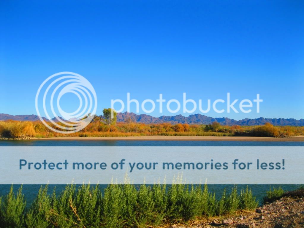
The next day from Cibola Wildlife Refuge, I'd head south to Black Mountain Road to Indian Pass Road which heads into the Picacho State Recreation Area. Following Picacho Road back towards civilization and along county roads I made my way to Ferguson Lake Road which took us to a backwater lake along the river and the second night's camp.
After break camp at Ferguson Lake the next morning we headed into Arizona to Martinez Lake. Taking Red Cloud Mine Road into Imperial NWR, we found our way to the Arizona side of the Cibola Wildlife Refuge. North of Cibola Lake, we followed Ehernberg-Cibola Road east through the Yuma Proving Grounds to Highway 95 and then north to Quartzite to refuel. Back tracking south we entered Kofa NWF and make camp along Palm Canyon Road.
On the last day we finished exploring this small part of the refuge along with Kofa Queen Canyon and headed home. There was a trail that passes through the Castle Dome Mountains that I also wanted to check out but we ended up being short on time so I'll now I have another reason to head out there again.
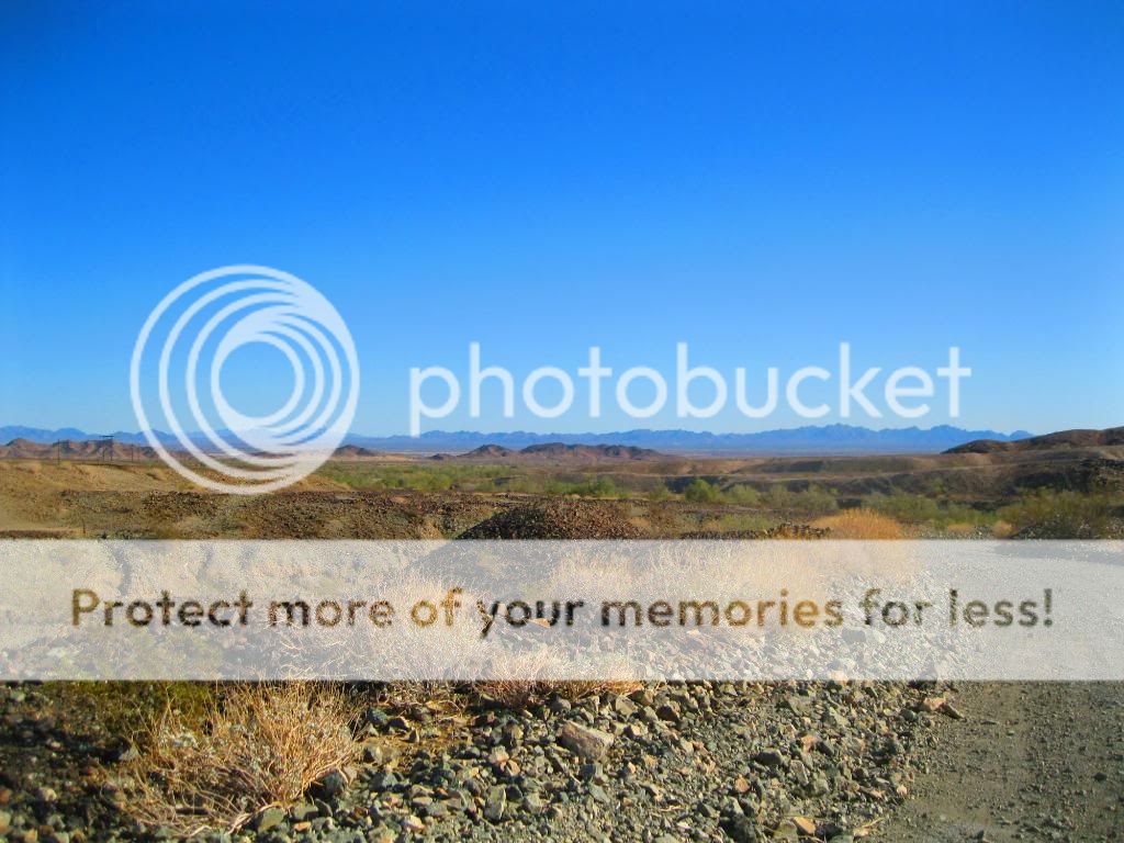
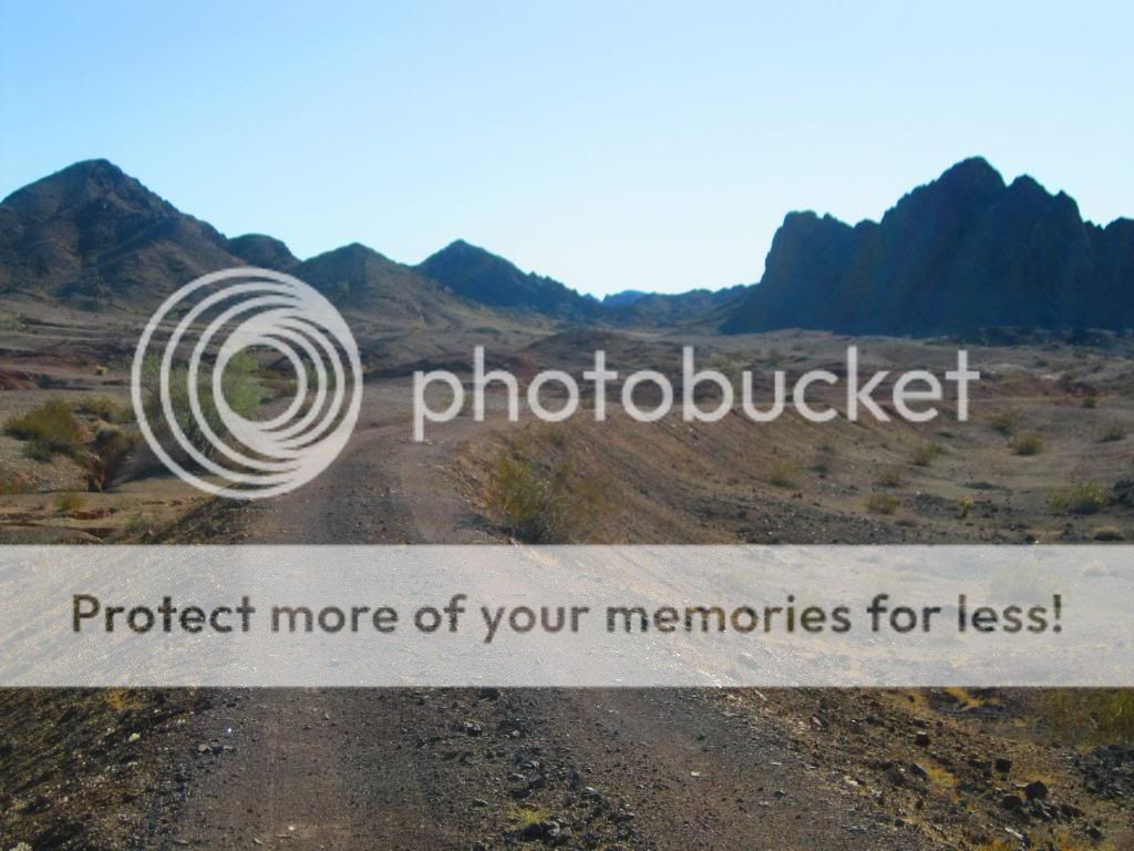
Day 1: Bradshaw Trail to Cibola National Wildlife Refuge Trail
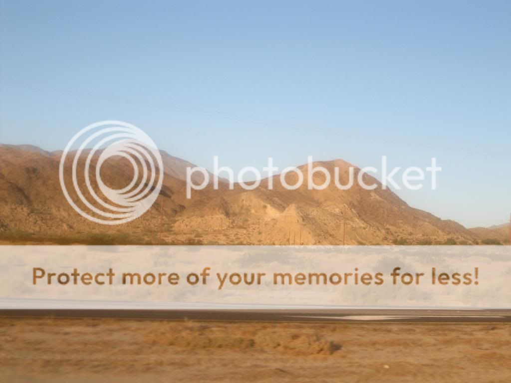
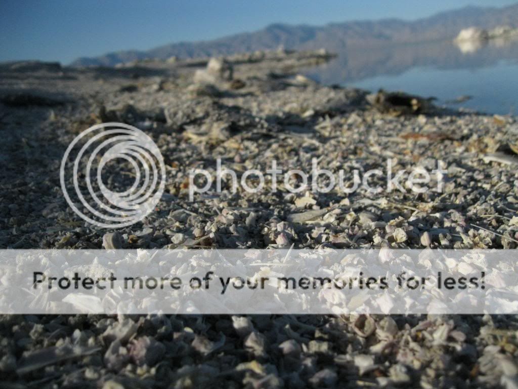
The water line of ancient Lake Cahuilla can be seen on the hills west of the Salton Sea.

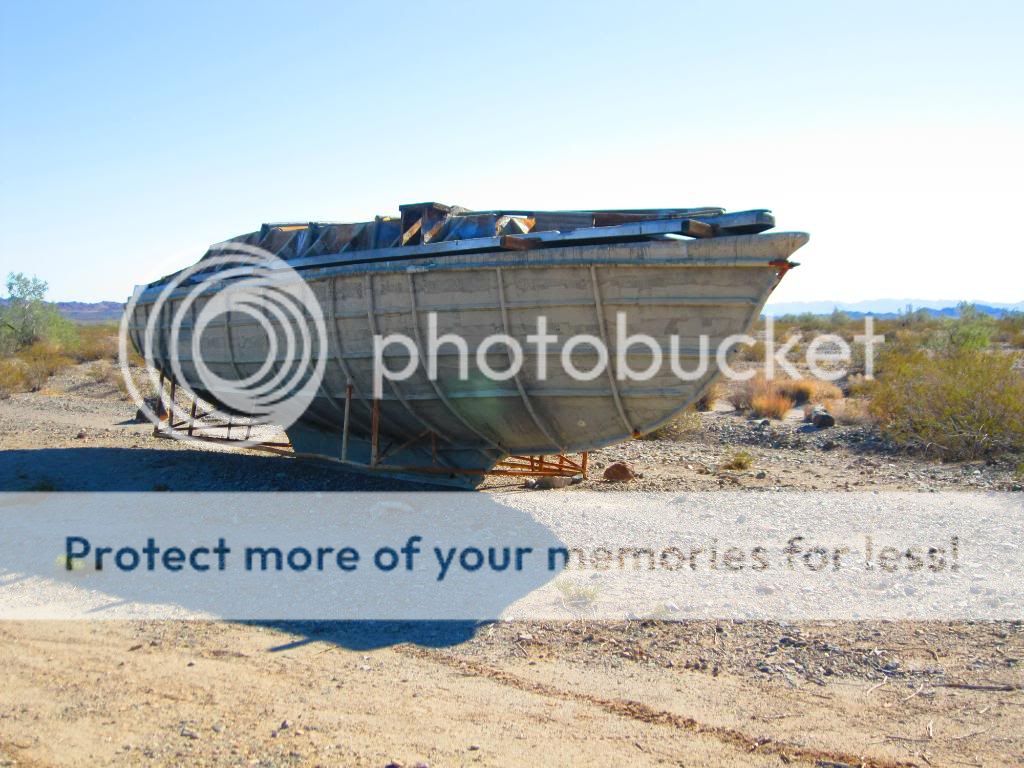
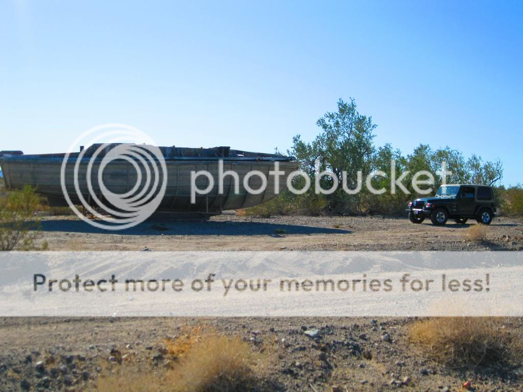
This suggests of the possibility of one or more ancient ships entrapped in the Salton Basin after entry via the Colorado River, according to a few local legends.
North Shore Beach & Yacht Club

Salton Sea

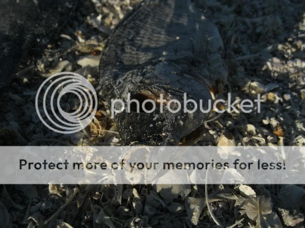
The shore was littered with dead Talapia.

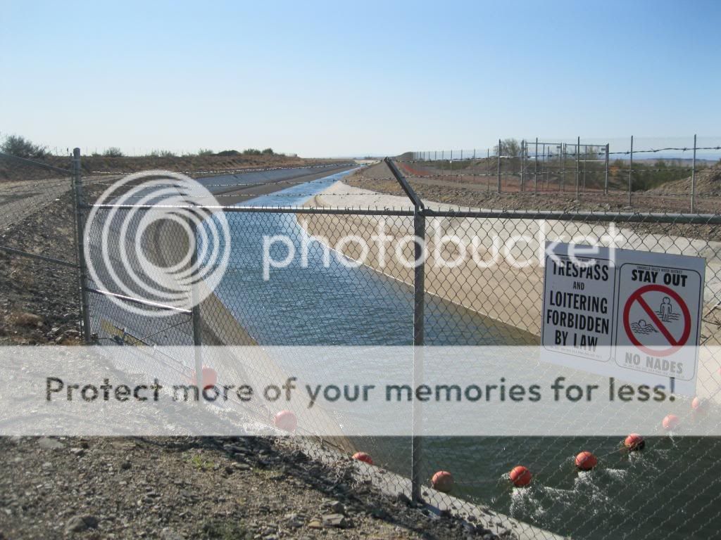
Heading towards the Bradshaw Trail, along the Cochella Canal.

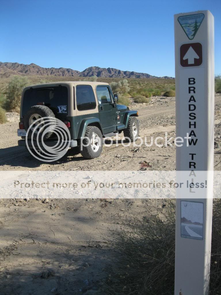
Start of the trail. Nicknamed the Gold Road at one time, this historic overland stage route in Southern California originally connected San Bernardino, California to gold fields in La Paz, Arizona, some miles north of Ehrenberg. It was the first road connecting Riverside County to the Colorado River.
Its remainder, a graded dirt road, traverses southeastern Riverside County and a part of Imperial County, beginning roughly 12 miles east of North Shore and terminating about 14 miles southwest of Blythe for a total of 70 miles.
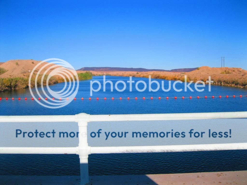
Here you see the route of the old canal.
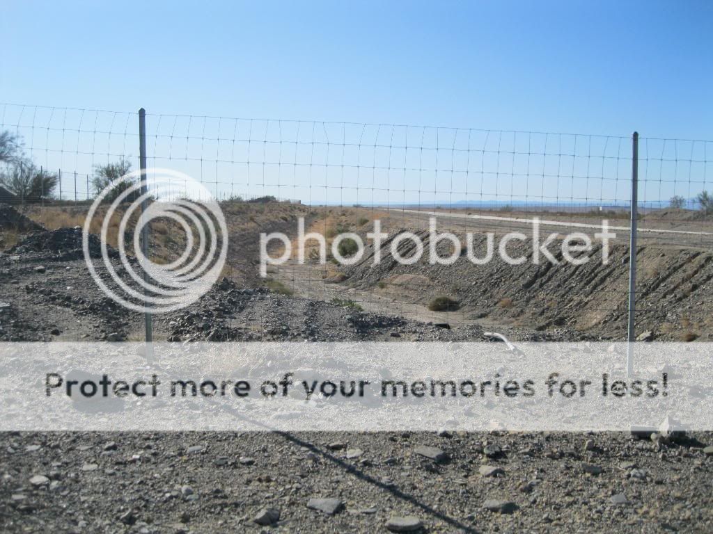
The new one is fenced in. So much for fishing it.
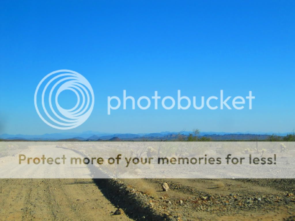
Stay on the trail!


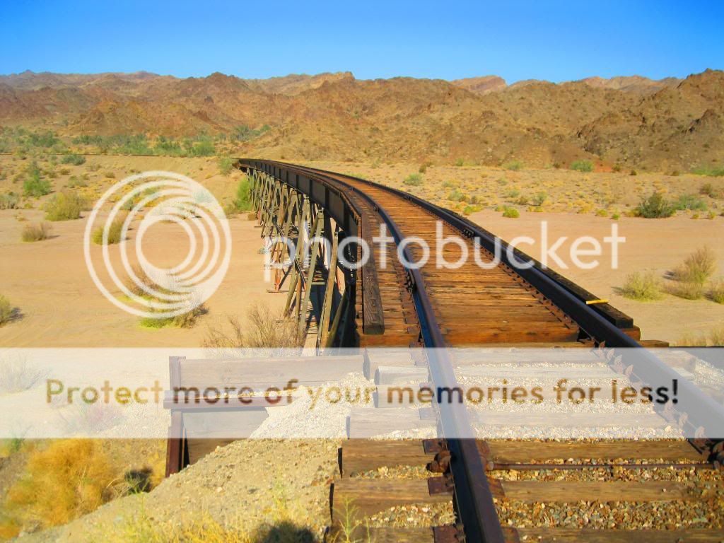
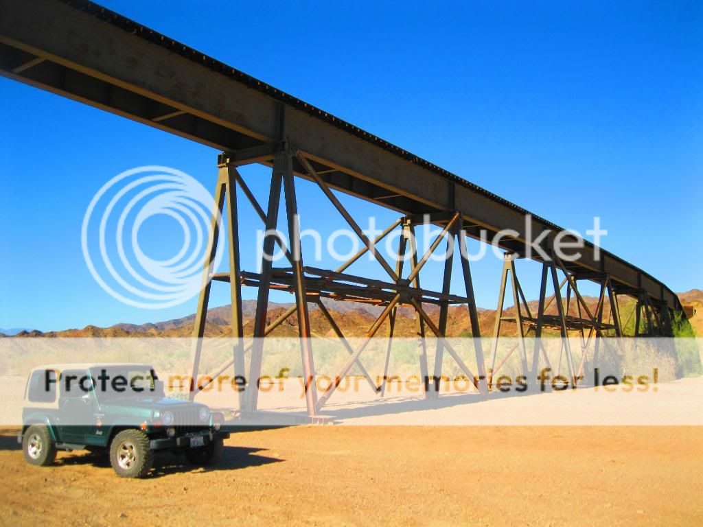
Abandoned railroad tracks.


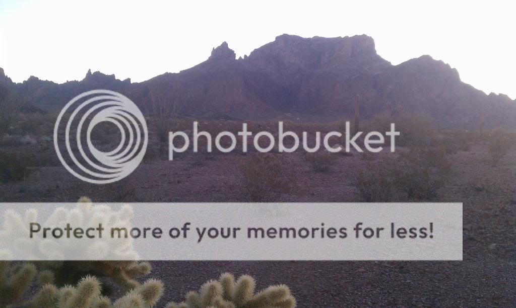
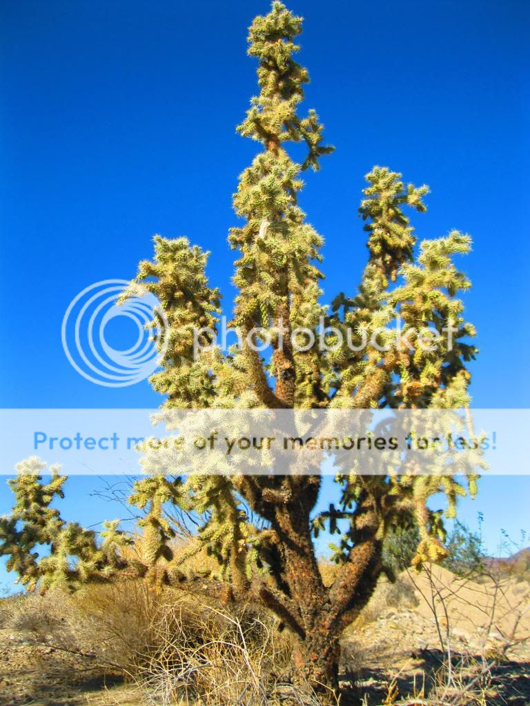
Some of the biggest Cholla I've seen.
I found the lost ship of pearls!
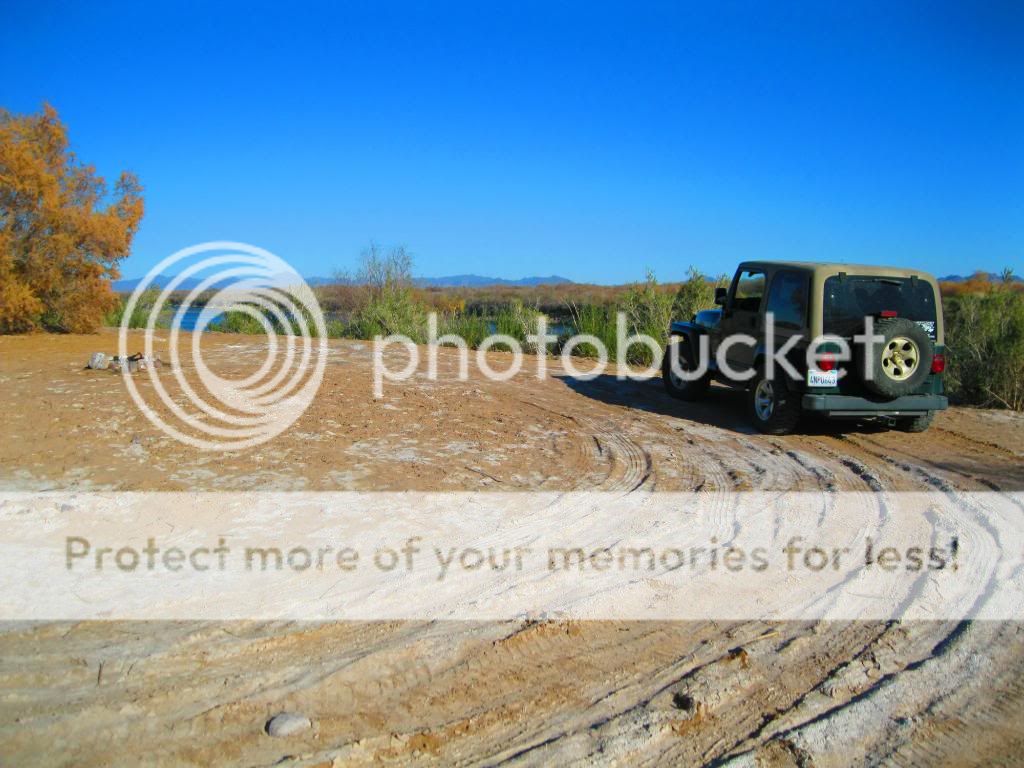
This was a nice campground.

Last edited: