You are using an out of date browser. It may not display this or other websites correctly.
You should upgrade or use an alternative browser.
You should upgrade or use an alternative browser.
In Gaia which maps do you like?
- Thread starter Superduty
- Start date
Ace Brown
Retired Ol’ Fart
For those that use GaiaGPS which maps are your preferred ones and why?
If you have the paid version do you use the overlay feature often?
What zoom level do you download?
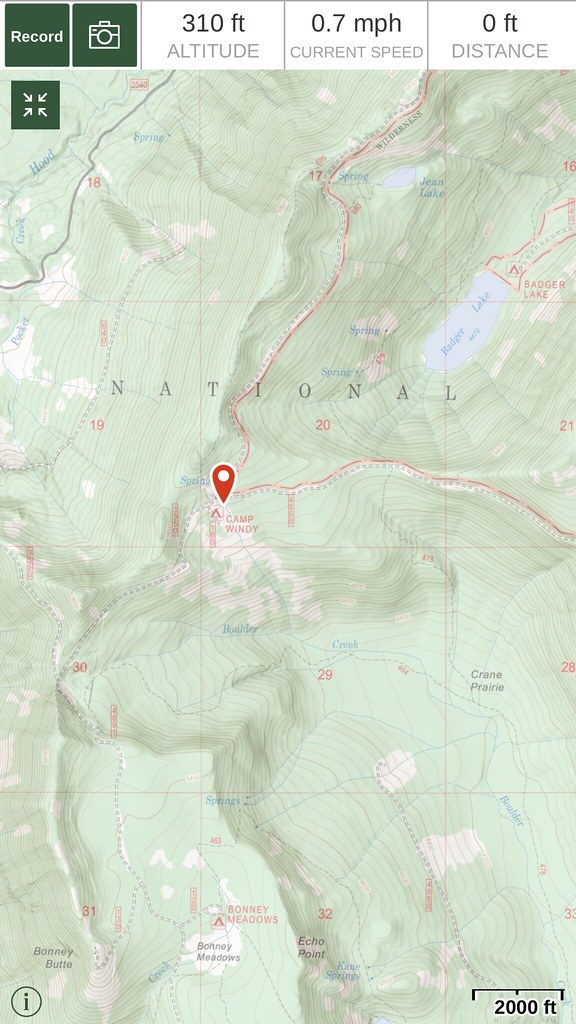
I am sort of a basic user of GaiaGPS. I use only the USGS base maps. I worked for USGS for 37 years so I’m very comfortable with their maps. I have not played with the overlays.
I know there is a premium version of Gaia but I’m not a subscriber. I joined Gaia several years ago when it was $19.95 (?) to join with unlimited map downloads
I haven’t downloaded new maps in several years but when I did it was the standard USGS quads at 1:25,000 I believe.
Sent from my iPhone using Tapatalk
pdxfrogdog
Adventurer
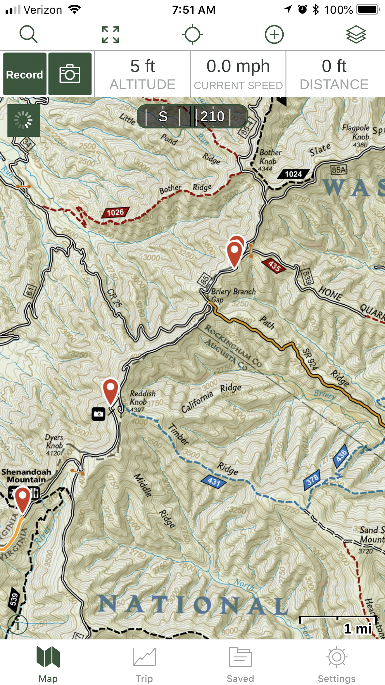
When in National Forests, I really like the USFS 2016 base maps, paired with a shaded relief map. I'll also toggle the MVUM overlays on/off as needed. Pretty sure the overlay feature and perhaps the MVUMs are tied to a premium subscription (which I do).
Superduty
Adventurer
There are likely numerous different maps for the park that you can download. Do you know which map you downloaded?Perhaps a bit off topic... I’m a Gaia newb bit I just downloaded a Texas State Park map for a backpacking trip this weekend and I thought it was cool!
Sent from my iPhone using Tapatalk
Sent from my SAMSUNG-SM-G930A using Tapatalk
Superduty
Adventurer
Which satellite download are you using?I use the USGS or Satellite downloads with the Nevada hunting units overlay. Makes it nice when you get close to the boundaries of the hunt units. And I don't remember exactly the zoom level but I think for satellite, I use 12-15 depending on how large an area i am in.
In the premium section ESRI is available. I was looking at it earlier. Very good detail. However, I'm guessing at a high zoom level the file sizes will be enormous
Sent from my SAMSUNG-SM-G930A using Tapatalk
polomasta
Member
There are likely numerous different maps for the park that you can download. Do you know which map you downloaded?Perhaps a bit off topic... I’m a Gaia newb bit I just downloaded a Texas State Park map for a backpacking trip this weekend and I thought it was cool!
Sent from my iPhone using Tapatalk
Sent from my SAMSUNG-SM-G930A using Tapatalk
Trail Data kmz file http://tpwd.texas.gov/spdest/parkinfo/maps/gis/kmz/caprock_canyons_sp_trails.kmz

Sent from my iPhone using Tapatalk
Kevin108
Explorer
If they're available for the area you're exploring, the additional details on the National Geographic Trails Illustrated map are fantastic. We carry paper copies of these maps as well. They show good places for photos, camping, permanent and seasonal gates, trail types, etc.
Last edited:
SportsmanJake
Adventurer
My current stack from driving around in the woods:
Mapbox Outdoors HD (base)
USFS MVUM
For when I am on foot, I like
USGS Topo (base)
US Shaded Relief
Features
When I am sailing:
Satellite (base)
NOAA Charts
Mapbox Outdoors HD (base)
USFS MVUM
For when I am on foot, I like
USGS Topo (base)
US Shaded Relief
Features
When I am sailing:
Satellite (base)
NOAA Charts
I would have to double check when I get back into town. Ya, the downloads are pretty large so I will just break them up into several different downloads and depending on the area I am in, I have to switch between them. It can be a bit of a hassle but comes in real handy when you can see that road that you can't really see from the ground. It was exactly how I got my antelope last year, I blew past a road I couldn't see and saw it on the map, turned around and it paid off.Which satellite download are you using?I use the USGS or Satellite downloads with the Nevada hunting units overlay. Makes it nice when you get close to the boundaries of the hunt units. And I don't remember exactly the zoom level but I think for satellite, I use 12-15 depending on how large an area i am in.
In the premium section ESRI is available. I was looking at it earlier. Very good detail. However, I'm guessing at a high zoom level the file sizes will be enormous
Sent from my SAMSUNG-SM-G930A using Tapatalk
Sent from my SM-G930V using Tapatalk
jimi breeze
jimi breeze
For those that use GaiaGPS which maps are your preferred ones and why?
If you have the paid version do you use the overlay feature often?
What zoom level do you download?
Overlays are where its at!!
I really like professional membership because you have a wide and varied map layer access. For example I have loaded these three layers (Public Land, USFS MVUM, and Gaia too) viewing a recent jaunt in the Coconino NF. Plenty of detail.
Westy
Adventurer
I've found for my use and needs, the USGS Topo and satellite imagery is best suited. More often than not if I am using GAIA, the roads are not marked on any other maps and likely not present on the USGS maps either. The ability to overlay both makes an efficient mapping source. Topo provide all the details and land features necessary for exploring regardless of on foot or vehicle, etc.
The older the map sources the better in my opinion for dirt road travel. Newer maps omit trails.
The older the map sources the better in my opinion for dirt road travel. Newer maps omit trails.