ttora4runner
Expedition Leader
When I first came to Colorado back in 2011 I spent a little time in the Bonanza Off Highway tour route with a group of folks exploring some of the area, Otto Mears Toll Road and Whale Hill. Since coming back to Colorado last year I wanted to visit the area again to do a little more exploring. As I had the day off before the 4th of July I decided to go back and explore the area, that and to avoid the traffic on the 4th. So Thursday after work I headed on out to camp at O'Haver Lake campground, I had reserved the last campsite just a few days before.
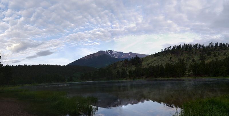
View of O'Haver Lake Friday morning from my campsite.
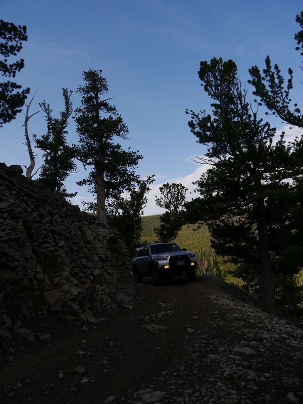
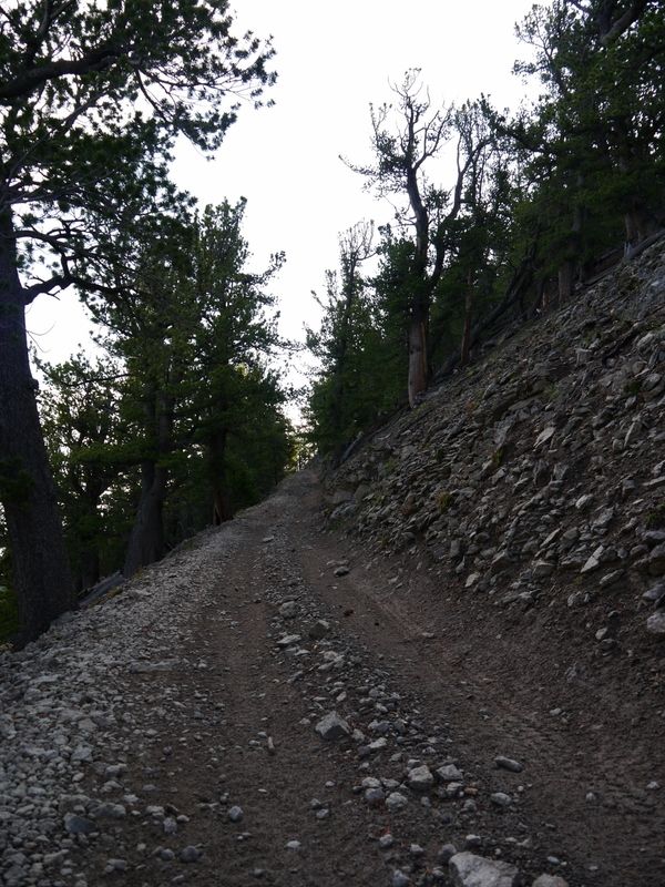
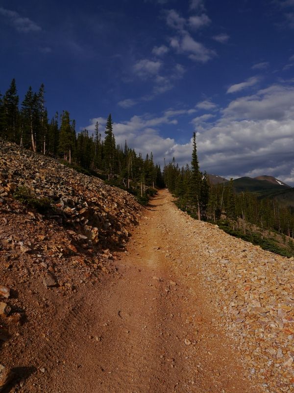
Otto Mears Toll Road
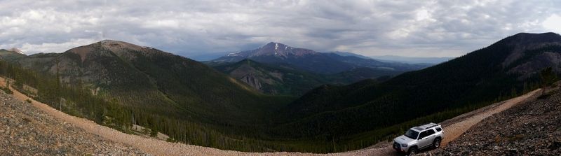
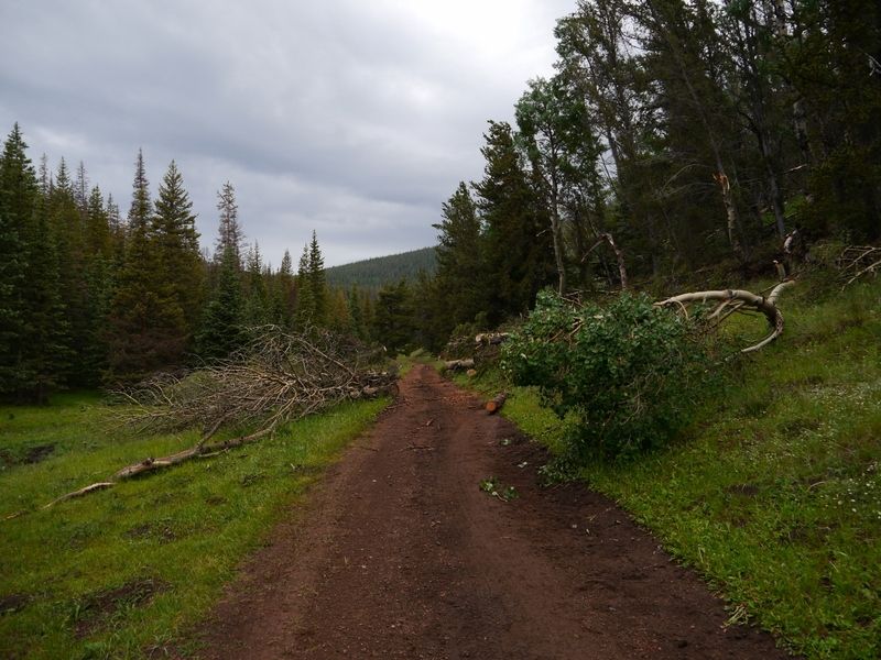
On the opposite side of the pass the trail eases up but due to recent storm events there are a number of trees that had fallen across the trail. The forest service or some other group had come though and cut the trees into pieces that crossed the trail but there are still plenty of other fallen trees across the trail that you just barely skim under in some sports. ** Warning** Anyone with a RTT, roof rack loaded with gear or a tall lift would have a bad day trying to fit under the trees/branches. I have a little bit of a lift and the factory roof rails on my 4runner would scrap against the low hanging branches. This would be the case on Alder Creek trail latter on.
By the time I had gotten up and over the pass and down into the Bonanza area the skies had opened up and it began to rain. I had considered just going on ahead and leaving since I didn't know how long the storm was going to last but I stuck it out and about 30-45 minutes after it started it ended and the cleared up.
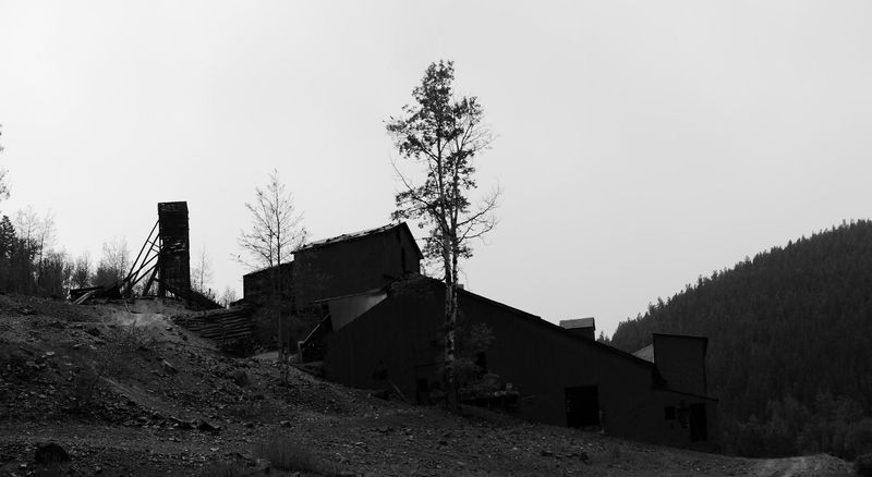
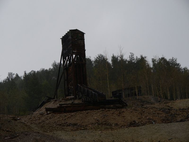
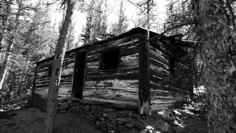
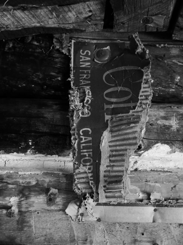
During which time I made a quick stop at the Cocomongo Mine and Mill. There's a No Trespassing sign on the building so you can only view it from the outside.
Once the rain stop I headed out on Alder Creek trail and back to highway 285 but before stopping at a couple of old mining sites.
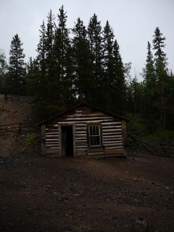
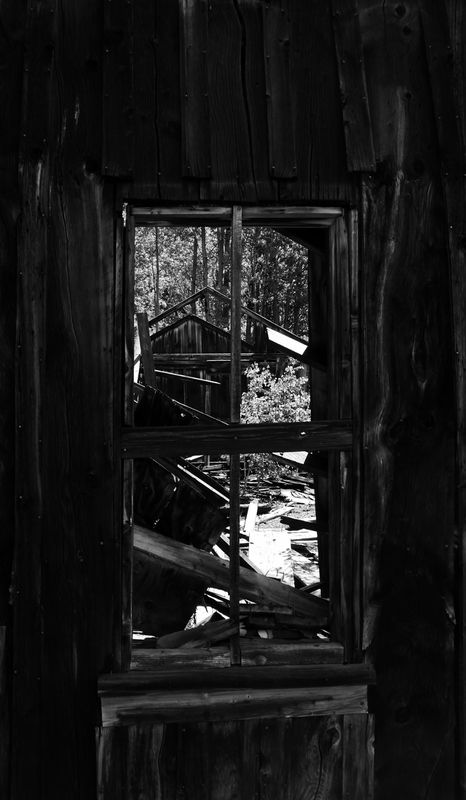
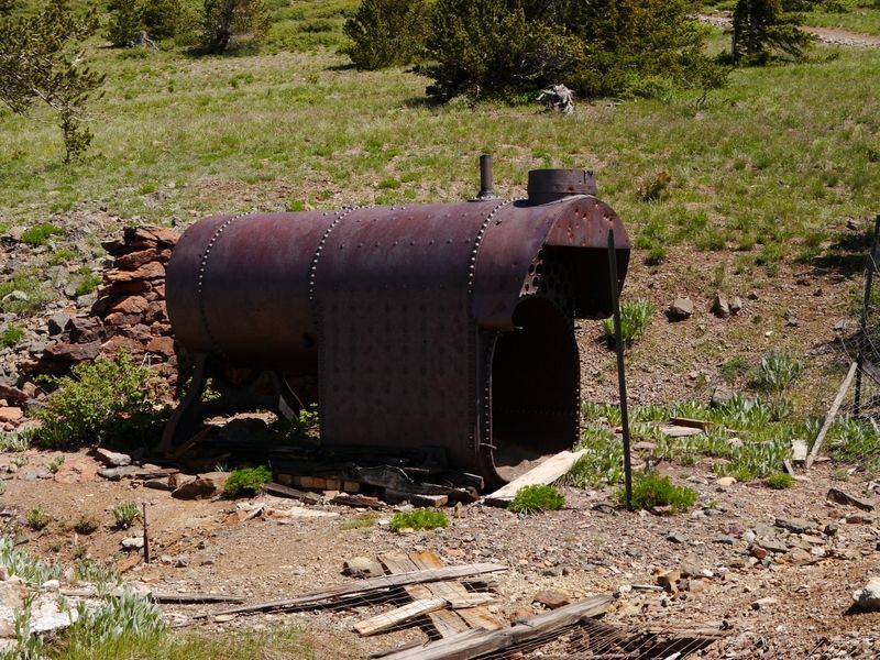
Old Cabin at Exchequer site
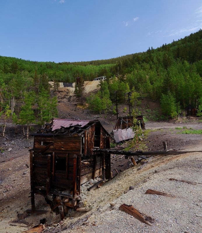
Rawlins Mine
Out on Alder Creek

Quick detour on the connecting route between Alder Creek and Whale Hill, the first time I ran the trail you could see the connecting trail because it was overcast.
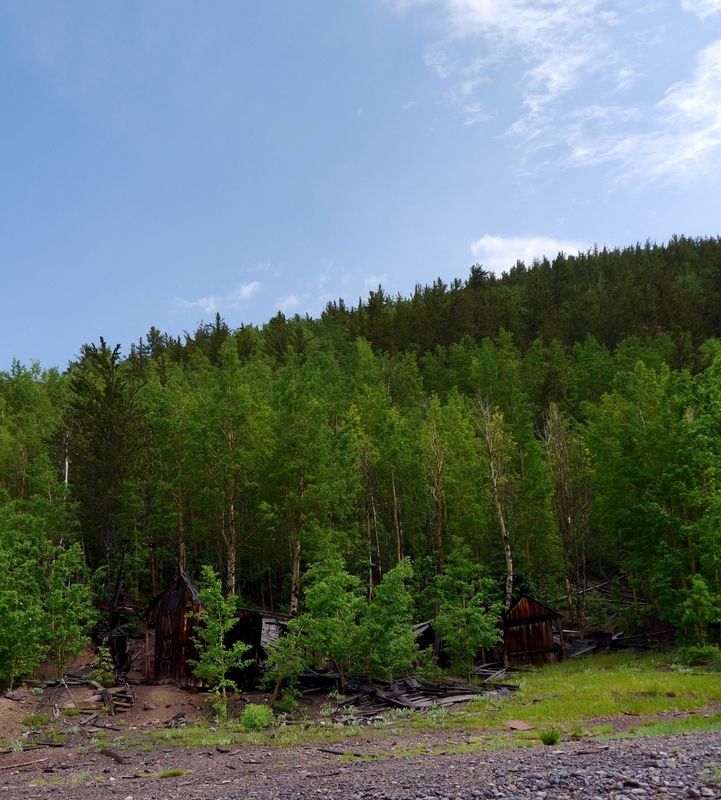
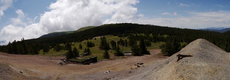
Shawmut and Legal Tender Mining areas.
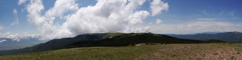
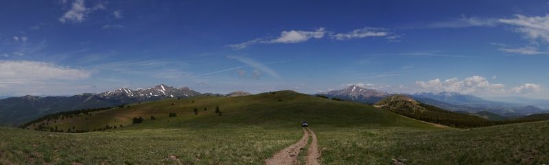
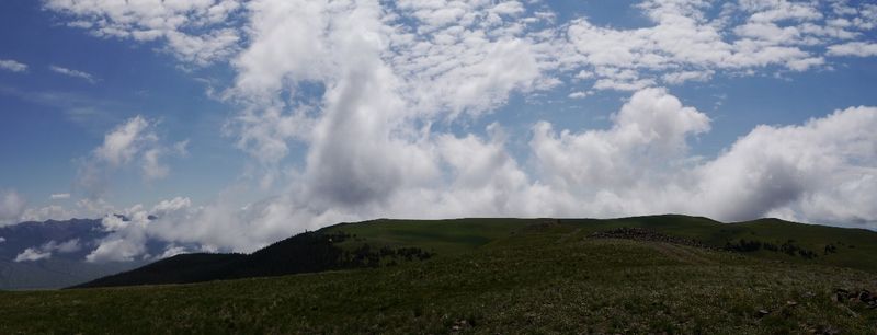
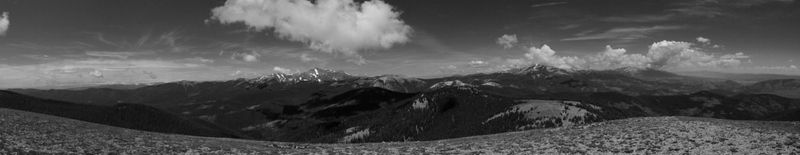
View from atop Round Mountain (hiked up the trail here, it was wet and lots of loose rocks which would've made the steep incline interesting to drive up)
View of O'Haver Lake Friday morning from my campsite.

Otto Mears Toll Road


On the opposite side of the pass the trail eases up but due to recent storm events there are a number of trees that had fallen across the trail. The forest service or some other group had come though and cut the trees into pieces that crossed the trail but there are still plenty of other fallen trees across the trail that you just barely skim under in some sports. ** Warning** Anyone with a RTT, roof rack loaded with gear or a tall lift would have a bad day trying to fit under the trees/branches. I have a little bit of a lift and the factory roof rails on my 4runner would scrap against the low hanging branches. This would be the case on Alder Creek trail latter on.

By the time I had gotten up and over the pass and down into the Bonanza area the skies had opened up and it began to rain. I had considered just going on ahead and leaving since I didn't know how long the storm was going to last but I stuck it out and about 30-45 minutes after it started it ended and the cleared up.
During which time I made a quick stop at the Cocomongo Mine and Mill. There's a No Trespassing sign on the building so you can only view it from the outside.


Once the rain stop I headed out on Alder Creek trail and back to highway 285 but before stopping at a couple of old mining sites.
Old Cabin at Exchequer site

Rawlins Mine


Out on Alder Creek

Quick detour on the connecting route between Alder Creek and Whale Hill, the first time I ran the trail you could see the connecting trail because it was overcast.


Shawmut and Legal Tender Mining areas.


View from atop Round Mountain (hiked up the trail here, it was wet and lots of loose rocks which would've made the steep incline interesting to drive up)


