zoomad75
K5 Camper guy
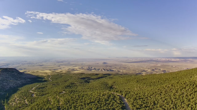
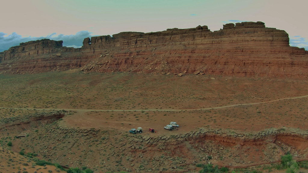
Day one.
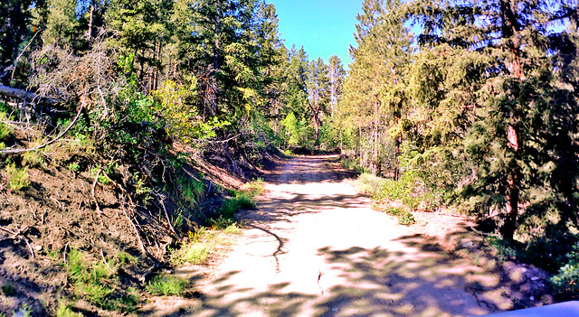
The Colorado crew departs from Larry’s house at 6:30.

The sky is grey overcast and it’s cool. Very un-Pueblo-like, but it makes going to desert much more inviting. I rethought all that when I saw 107 degrees on my outside temp a couple of days later.

We head west on highway 50 and pass though Canon City and enter the canyon cut by the Arkansas river and follow it up to Salida. Bill is leading and setting the pace. We are talking to each other on the radios while driving through a light rain.
We did have a quick pit stop in Salida to use the facilities and grab road snacks/drinks. They were out of fuel though.

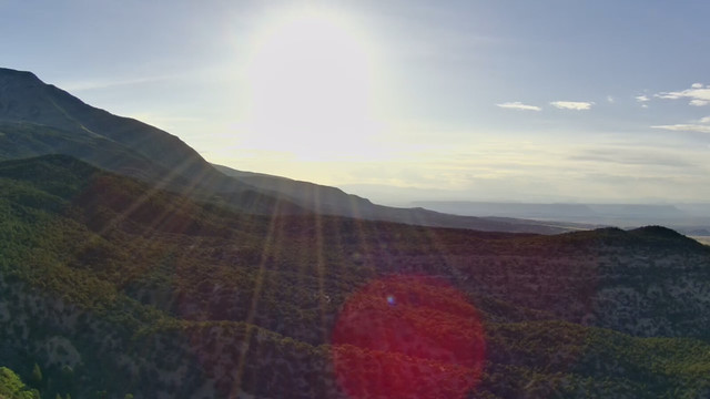
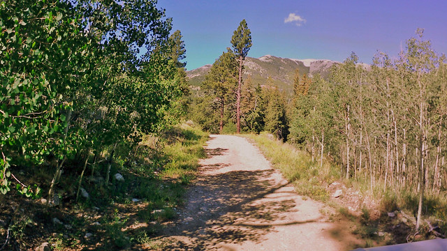
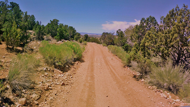
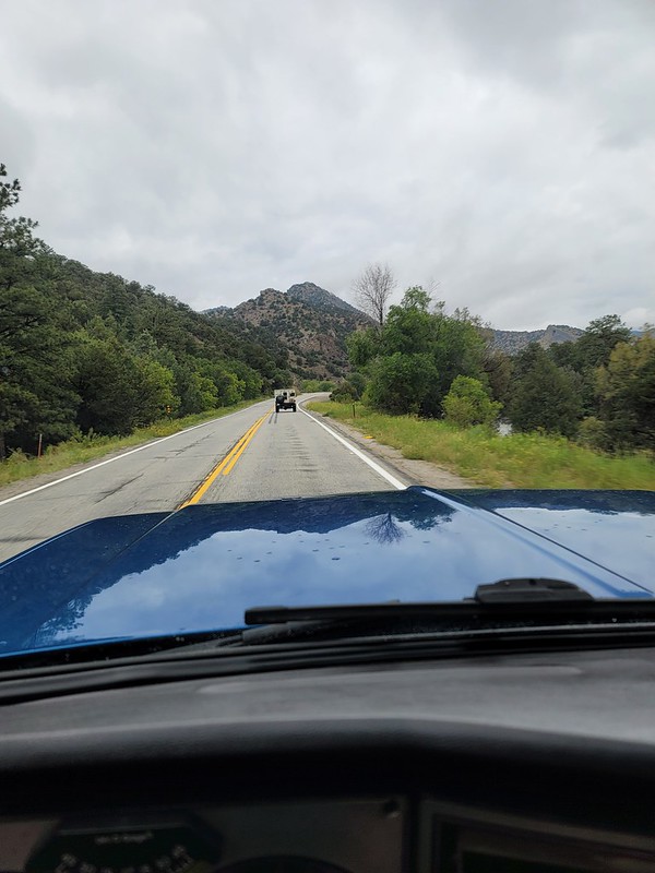
We proceed west along highway 50. Our first and biggest mountain pass was in front of us and I radio ahead to Bill about hijacking the fuel transport in front of him. But I get no response back. I look down to see my radio shut off.
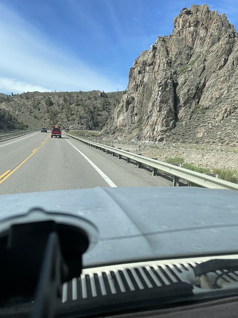
Coming up the cloudy Monarch Pass:
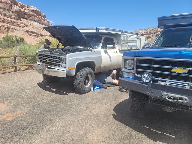
This is pretty normal as my radio has an annoying feature that it shuts itself off if it is on for two hours. With it tied directly to the aux battery, it’s not a bad idea to keep the feature on as it prevents me from leaving it on after I park the truck and the radio kills the battery. So you just have to turn it back on. Nope. Not today. Power button is in responsive. Uh-oh.
I fire off a quick text telling him what’s up and to have Bill stop at the summit of the pass so I can inspect. Maybe it blew a fuse. We chug our way to the top where it was a chilly 45 degrees and I break out my volt meter to check it out.
There are inline fuses on both ends of the power lead and visually they look ok. So with the fuse holder open closest to the radio I check the voltage. It’s right at system voltage. Hmm. I’ve got my spare handheld radio I can use but it’s hard to hear it driving with the windows open at speed. But it’s all I can do because it looks like my main radio is dead at this point.
I pull mine out of the console and it’s not fully charged so Larry gave me his spare that was charged up. We slide back down the pass and encounter a newer Grand Cherokee pulling a teardrop trailer from Missouri. We end up passing the Jeep and then we heard a different voice on the radio asking for a radio check. Using GMRS we do pick up other people on the same channel from time to time. So Larry responds and the guy asked if we were in the squarebody campers in front of him. He complemented on all our rides and thought they were cool.
Conversation complete we rolled into Gunnison and topped off fuel (I got just a tick over 17mpg on that run, best so far with the 8.1). Fleeced well at the gas station we passed another 89-91 K5 rolling through town who gave us the thumbs up as we got by him.

Directly out of Gunnison is Blue Mesa Reservoir. It is lower than I’ve ever seen it. Sad really, but there were still many out on the water. We hit construction on the next little pass but nothing major.
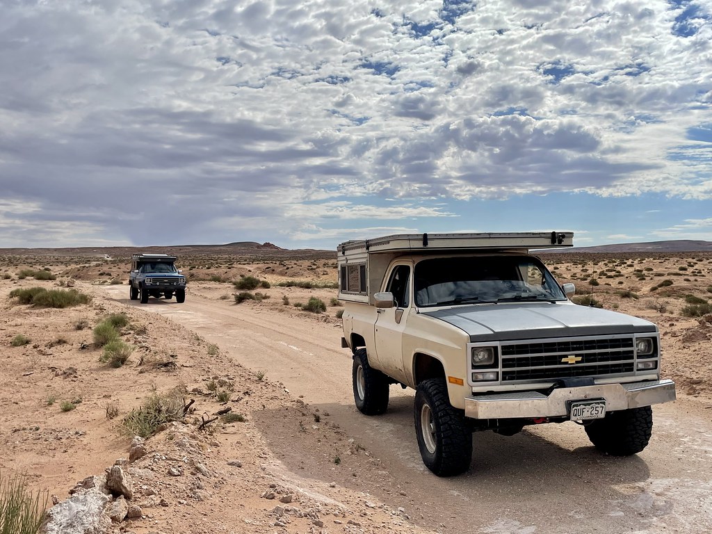
Now on the western slope we boogied through Montrose and Delta to Grand Junction.
We are making good time and comparing with our fellow desert rats coming in from California, Arizona and southern Utah we had time to eat lunch.
After some good BBQ we gassed up again before hitting I-70 and pushing west again.


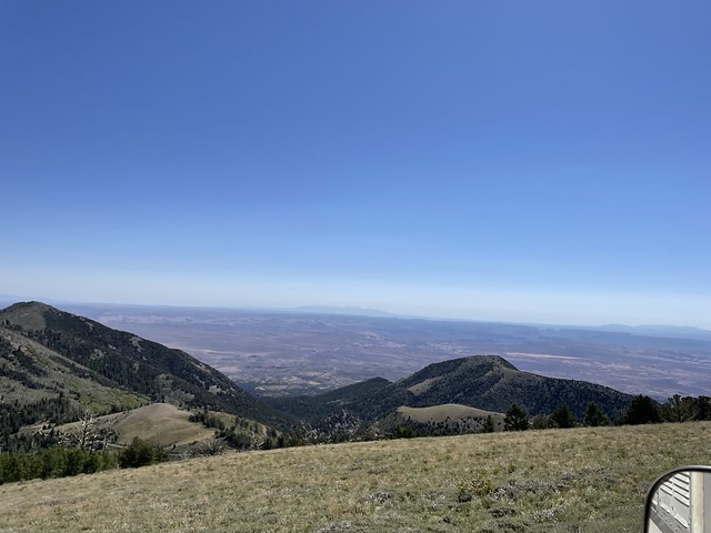
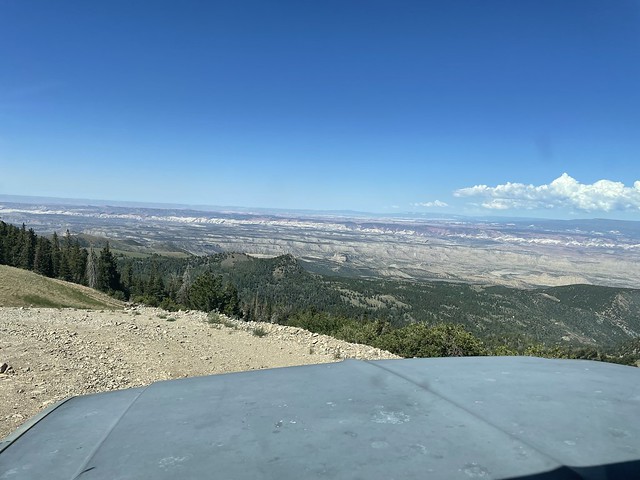
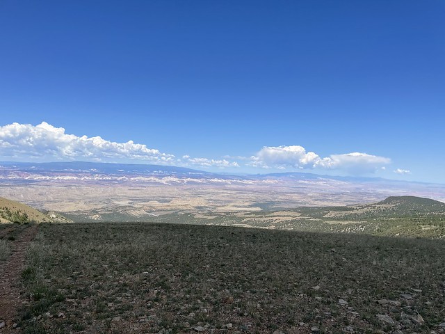
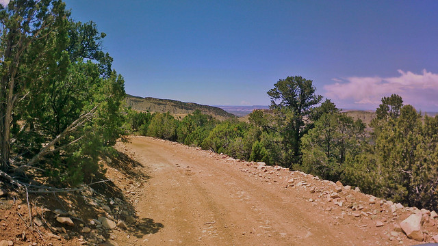
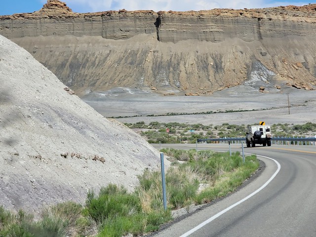
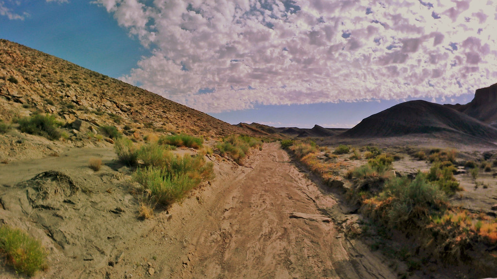
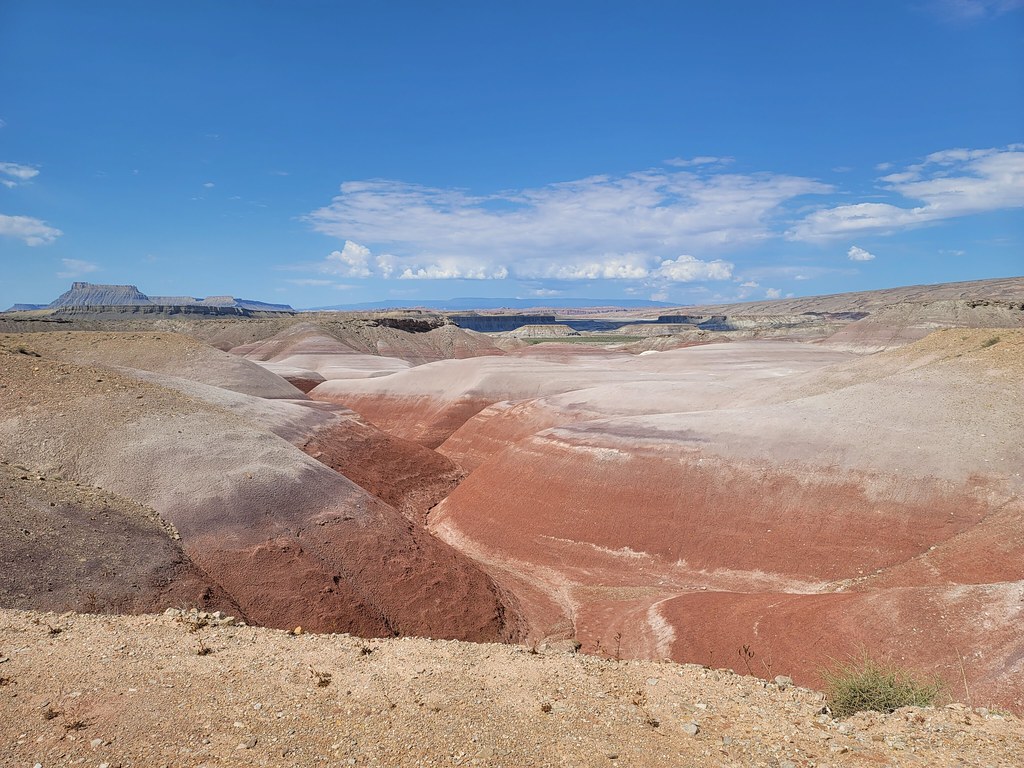
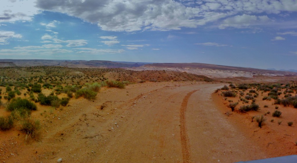
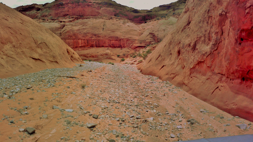
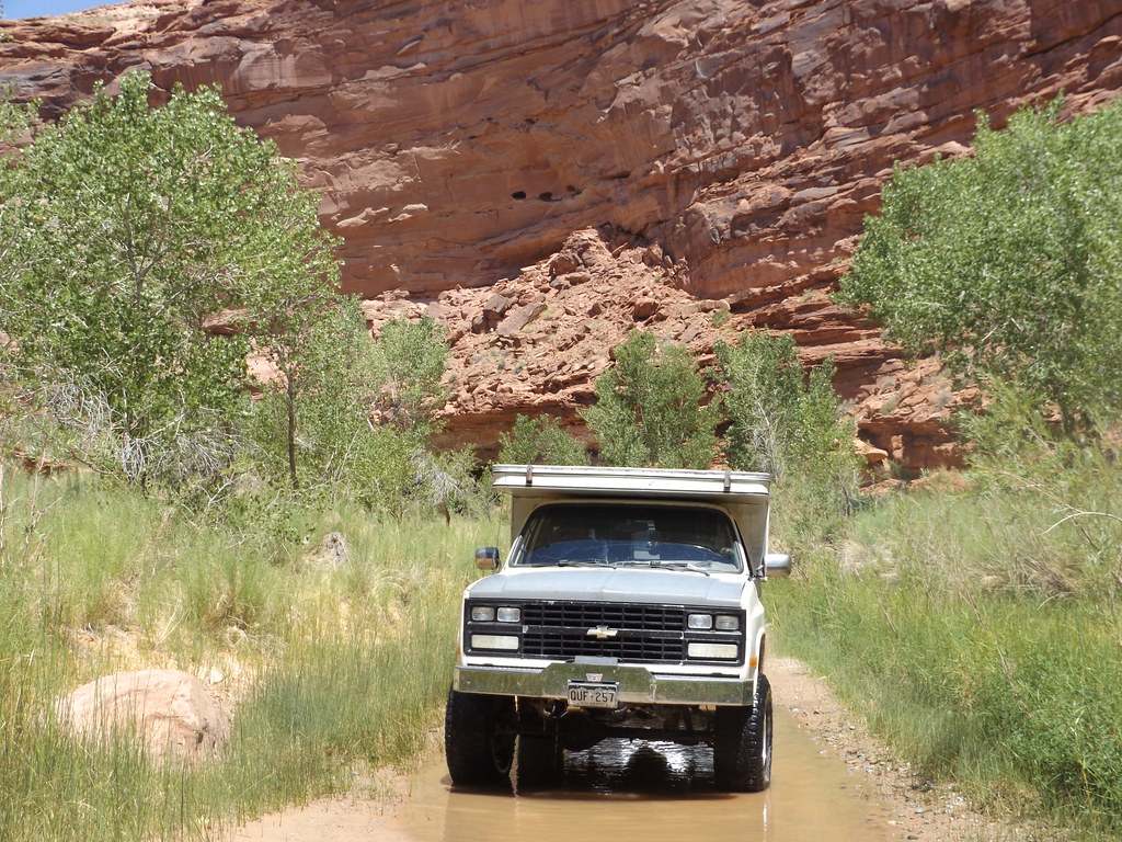
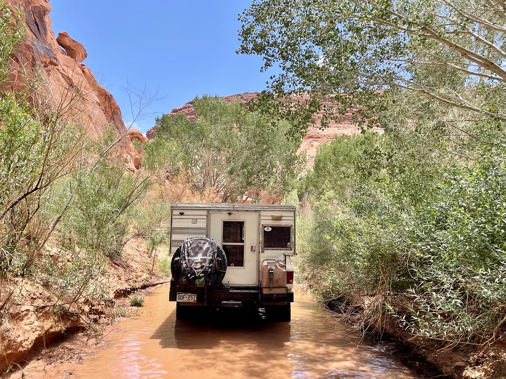
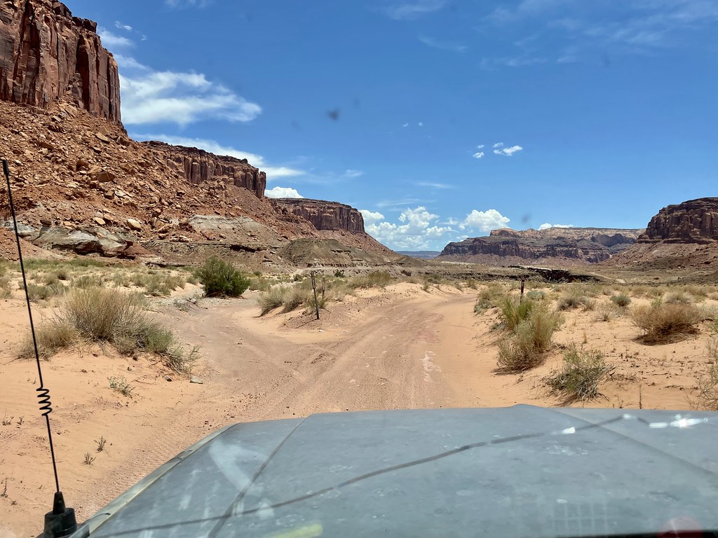
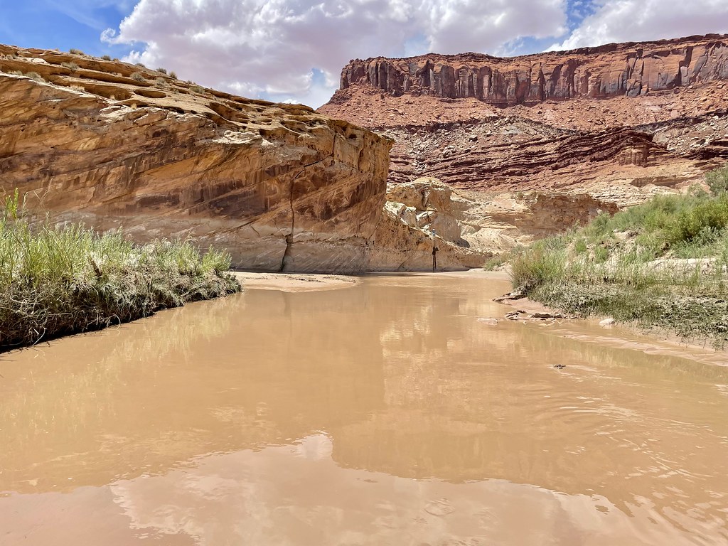
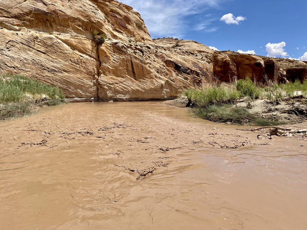
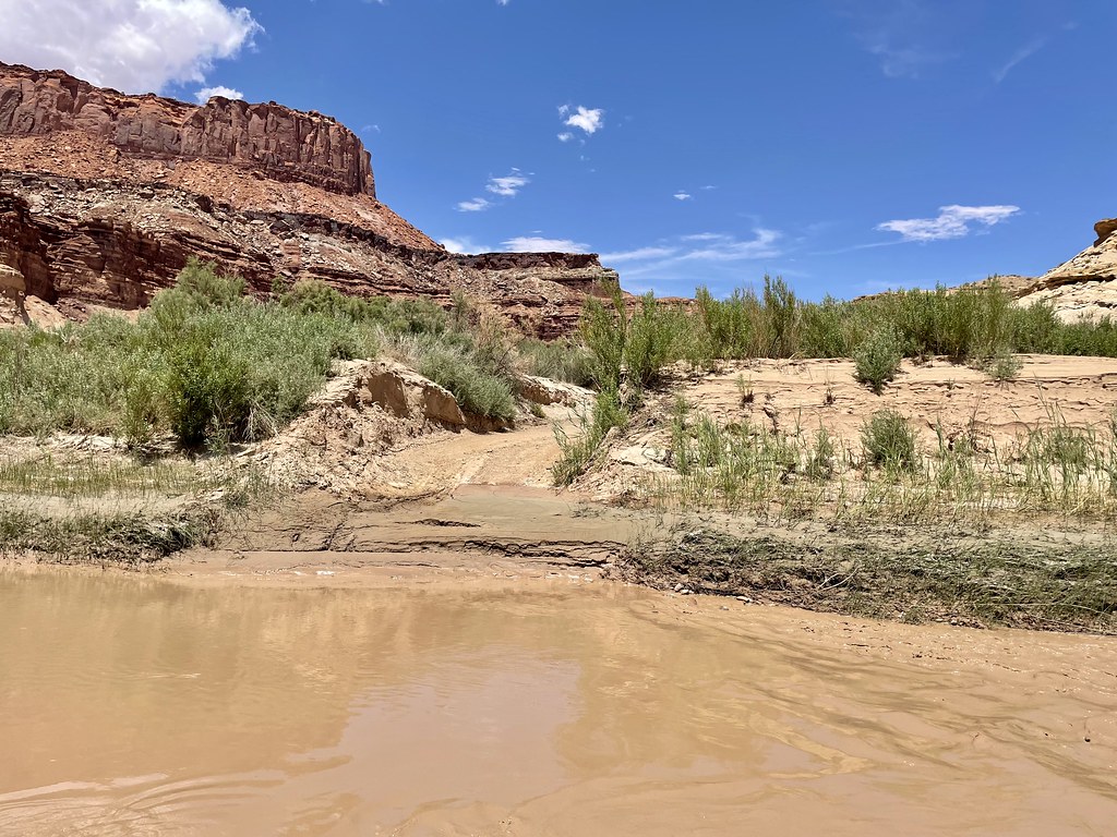
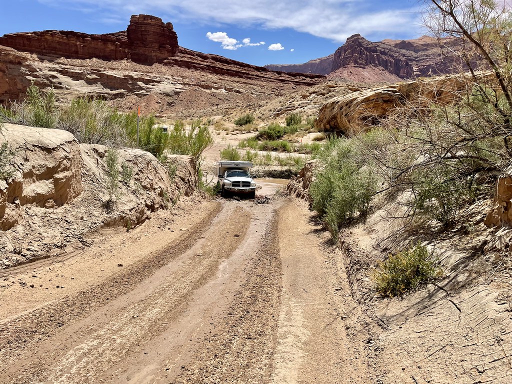
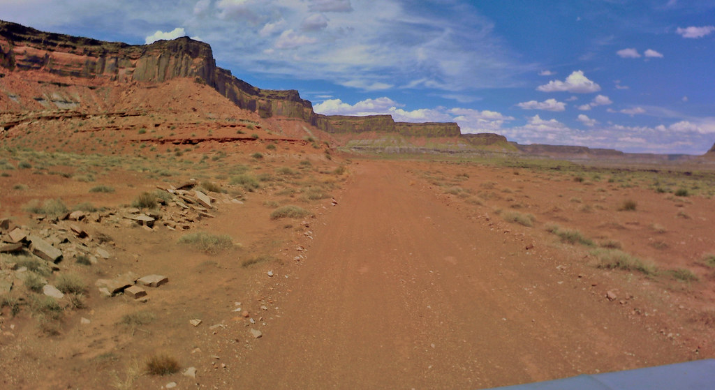
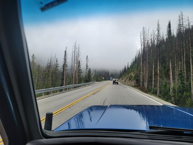
The run had us going past the Town of Green river and then turning south on state highway 24.
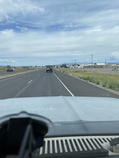
Coming down 24:

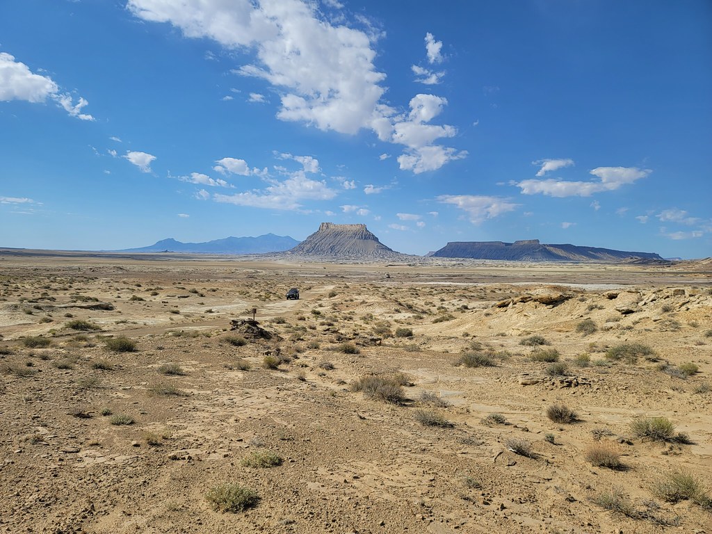
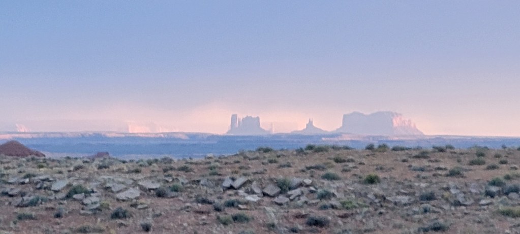
Those mountains on the left will be important later..

By about now I’m almost deaf. With no a/c and blasting down the interstate at 75-80 mph and the wind buffeting against the camper the sound was extreme. The stereo was cranked but couldn’t be heard much over the wind. Forget about hearing the handheld radio. I’d have to put it right to me ear to hear anything from it.
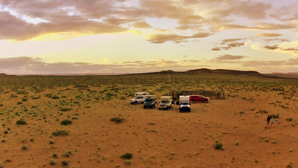
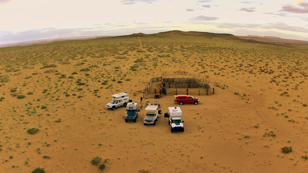
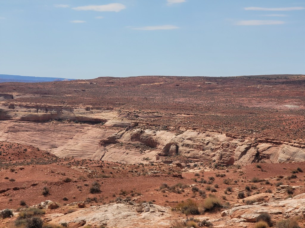
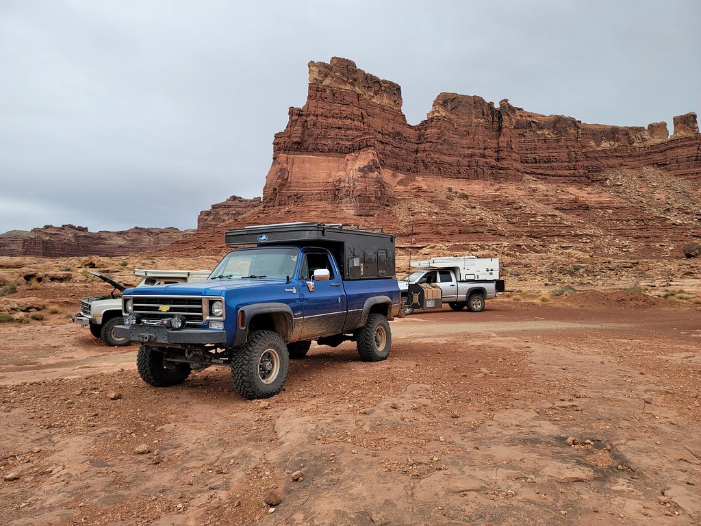
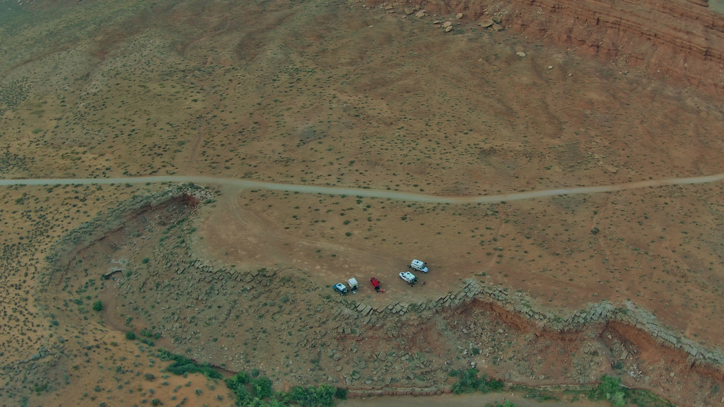
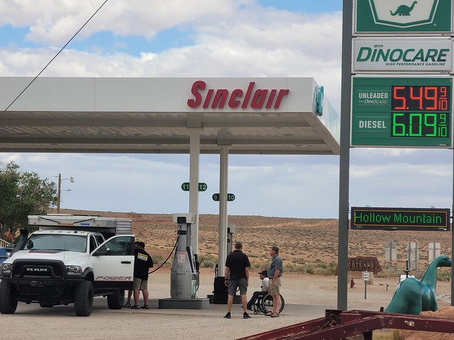
The heat was shooting up into the 90’s outside so driving with the windows up was not an option. But we eventually made it to our meet up spot in Hanksville and bought an ice cream bar at the gas station to cool off with and cold bottle of water. We refueled again and grabbed anything else we might have forgot while we waited for the rest to pull in.
Waiting in Hanksville:


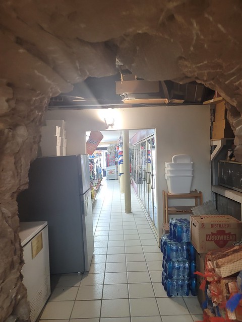
The gas station is pretty cool cut out of the rock on the hillside.

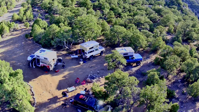
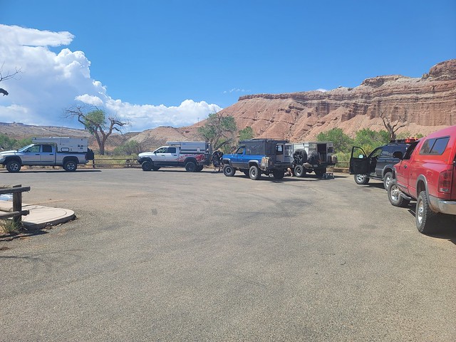
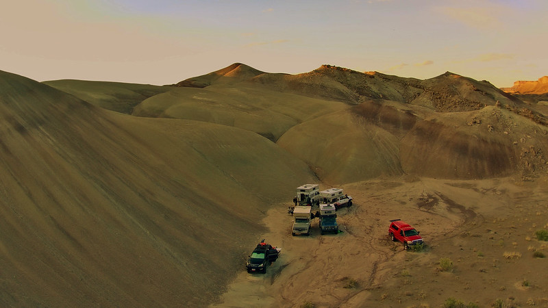
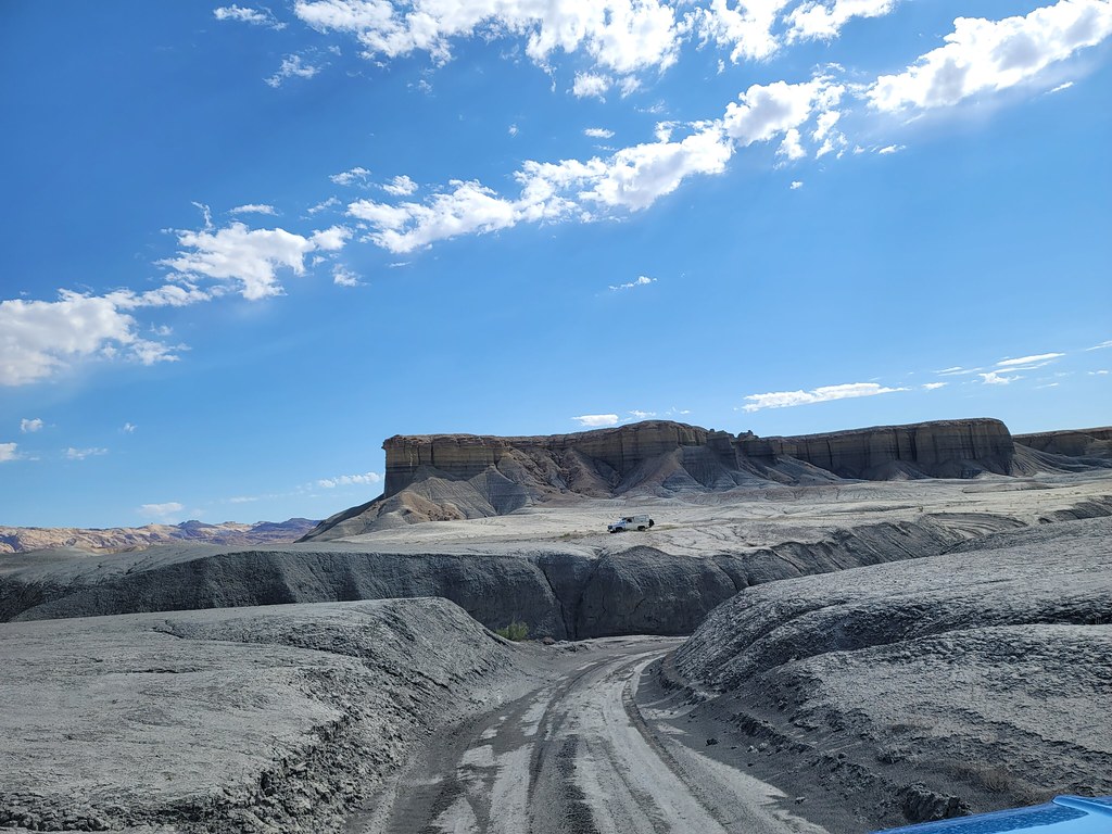
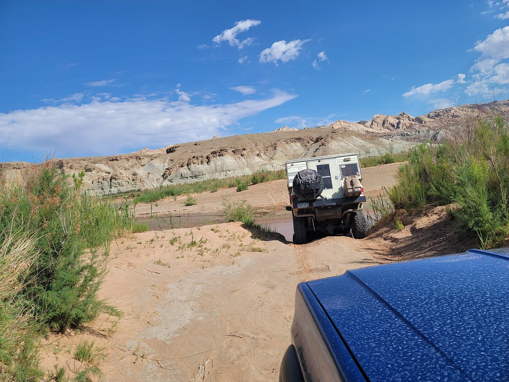
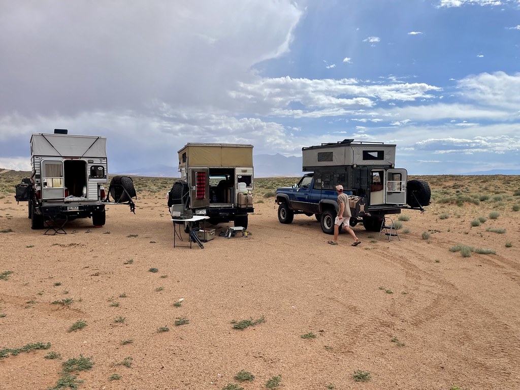
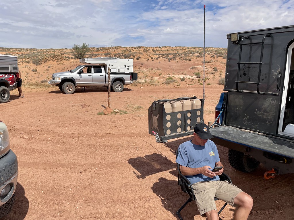
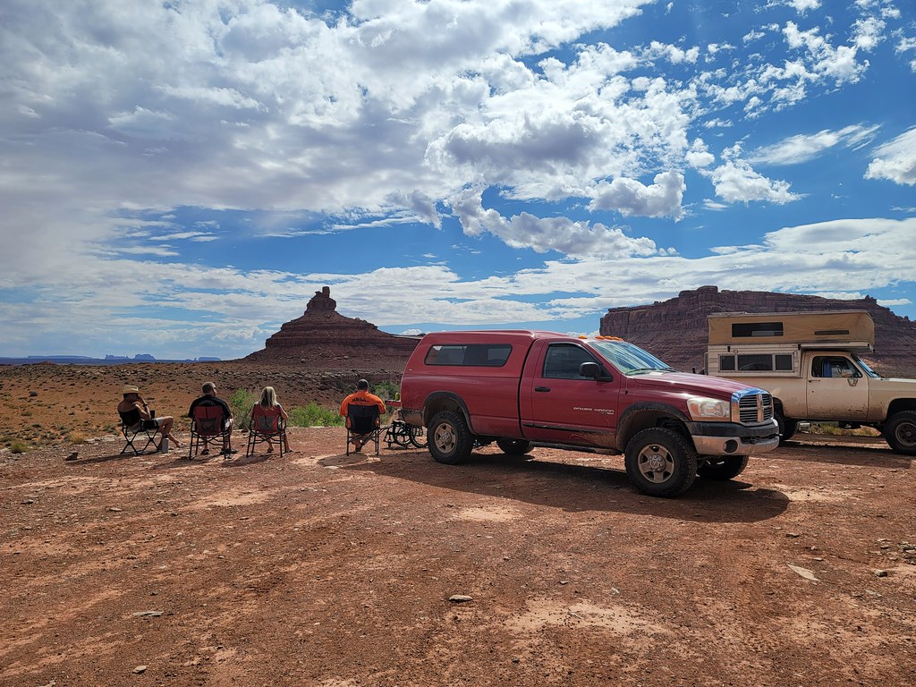
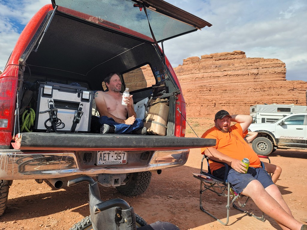
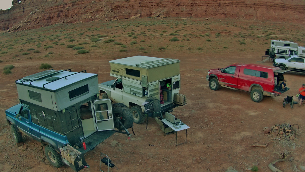
Thirty minutes in our friends Ty and his wife Jody arrived in their 4x4Inn as the plate says. That’s them behind the white van:

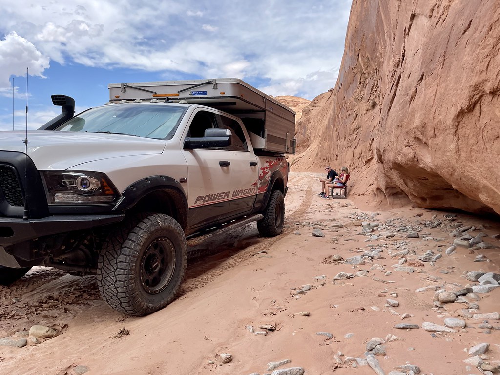
Since our last trip he’s rebuilt the camper as it almost got destroyed bouncing in the back of the truck as he yanked Larry’s truck up the Flint switchbacks 2 years ago. He’s also upgraded to kings on all four corners to complement the Carli suspension parts he already had onboard. The 24valve 6-speed manual is humming along as always. We greet each other and catch up while we wait for the others.
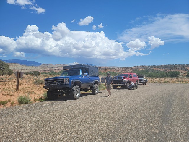
The next to arrive is Tony. He’s retired from UPS and now coming out of St. George UT. He’s been out on previous Desert trips but in a Rubicon Jeep or his super duty. This time he had a Lexus LX470, otherwise known as a Toyota Prado in other countries. Really simple but with an old man emu lift the it tackled everything with ease.
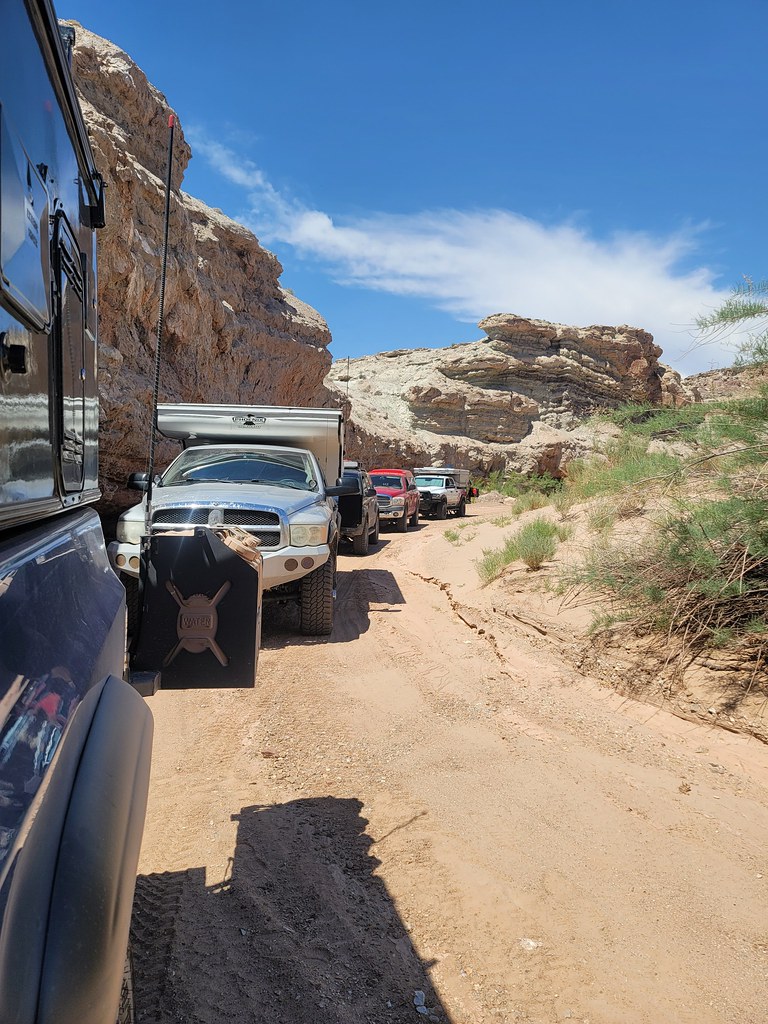
Here he is with Don pulling up:

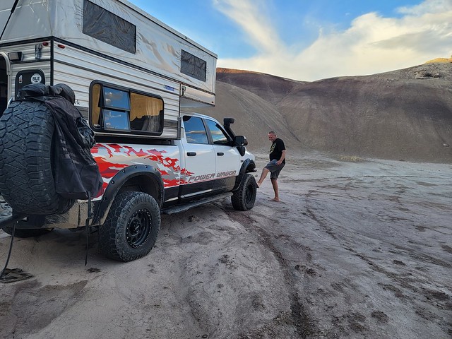
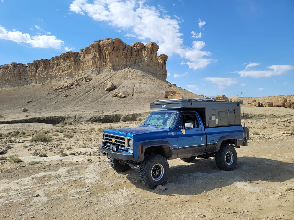
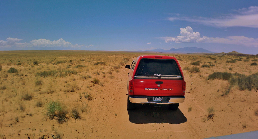
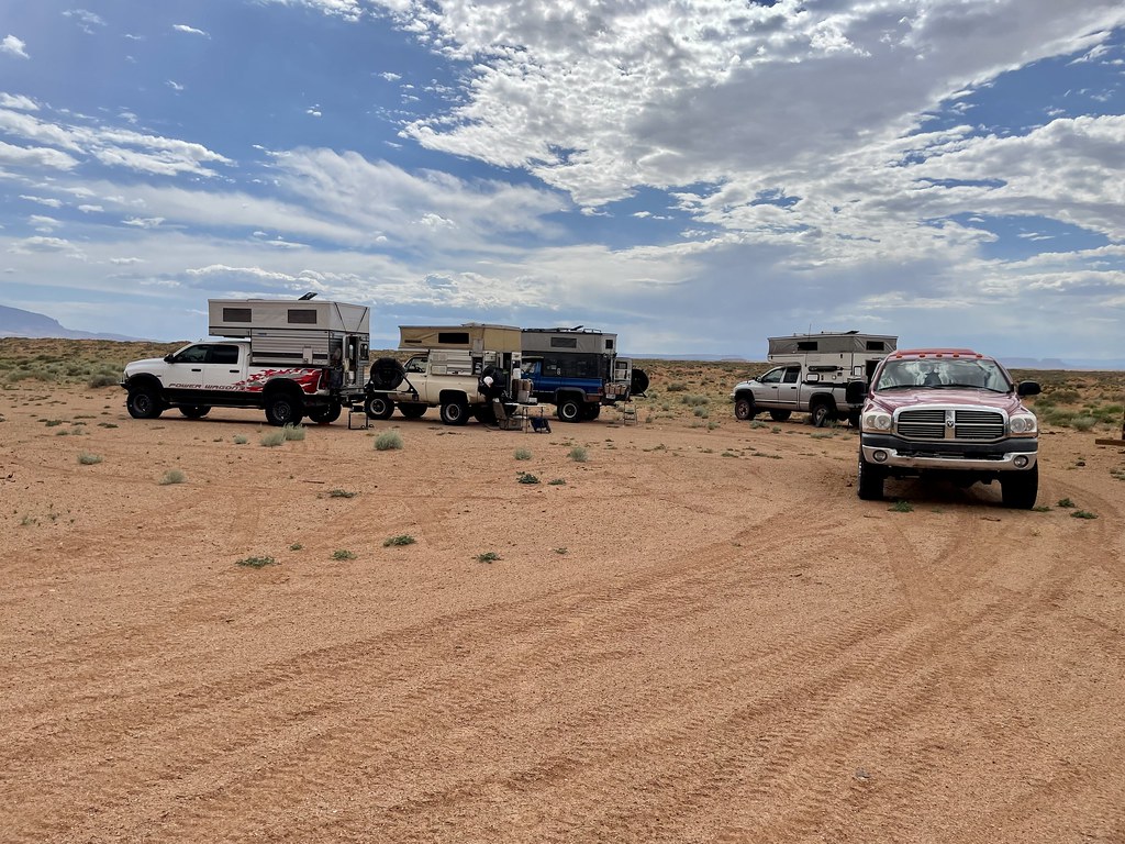
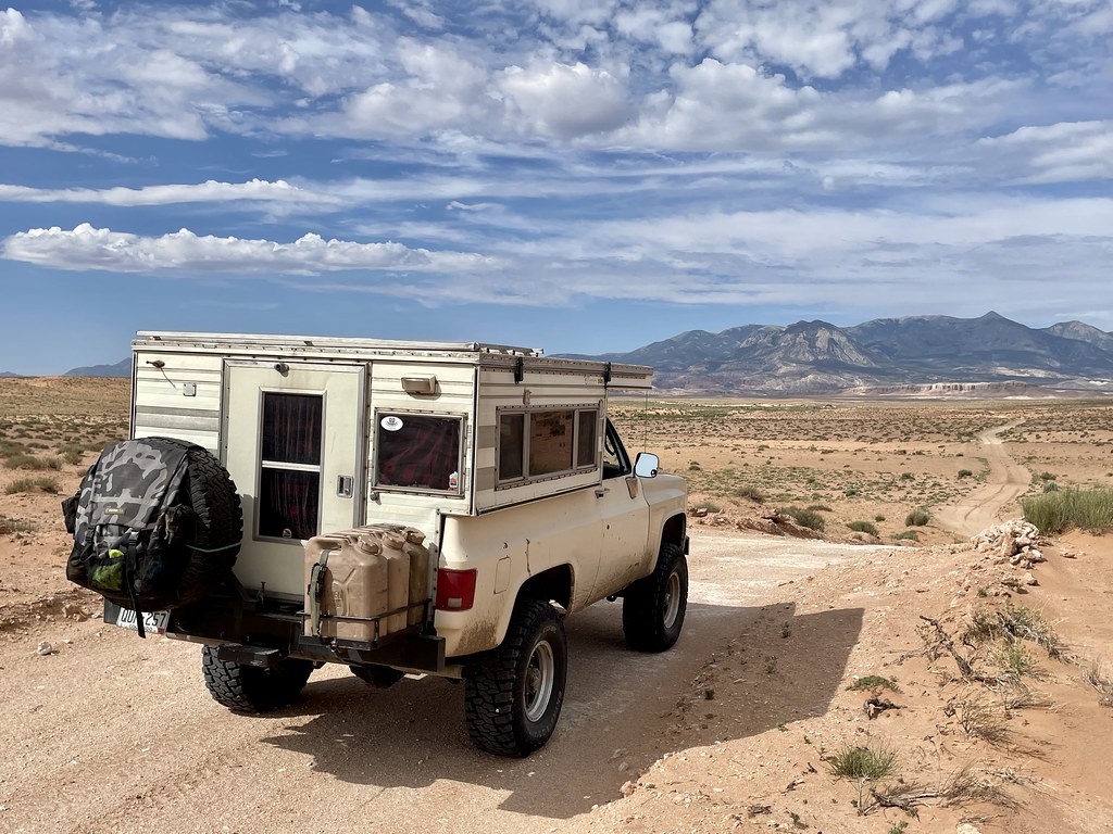
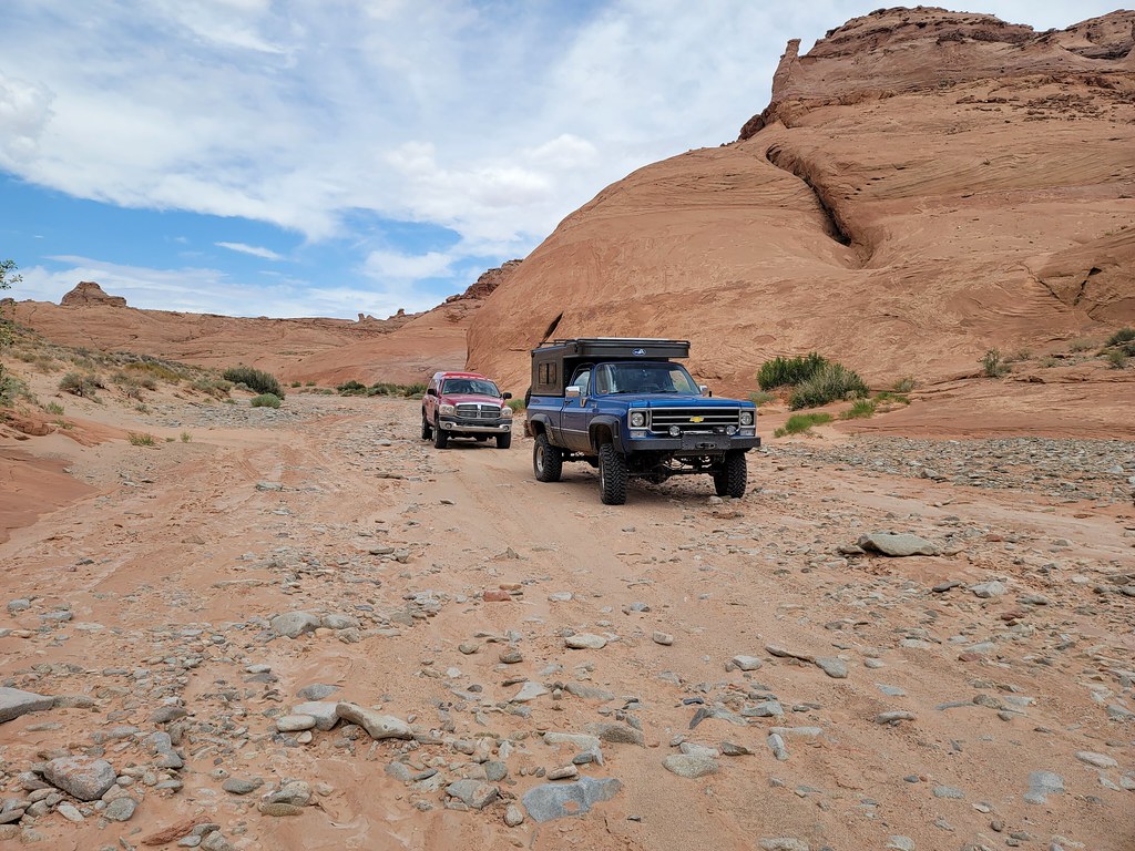
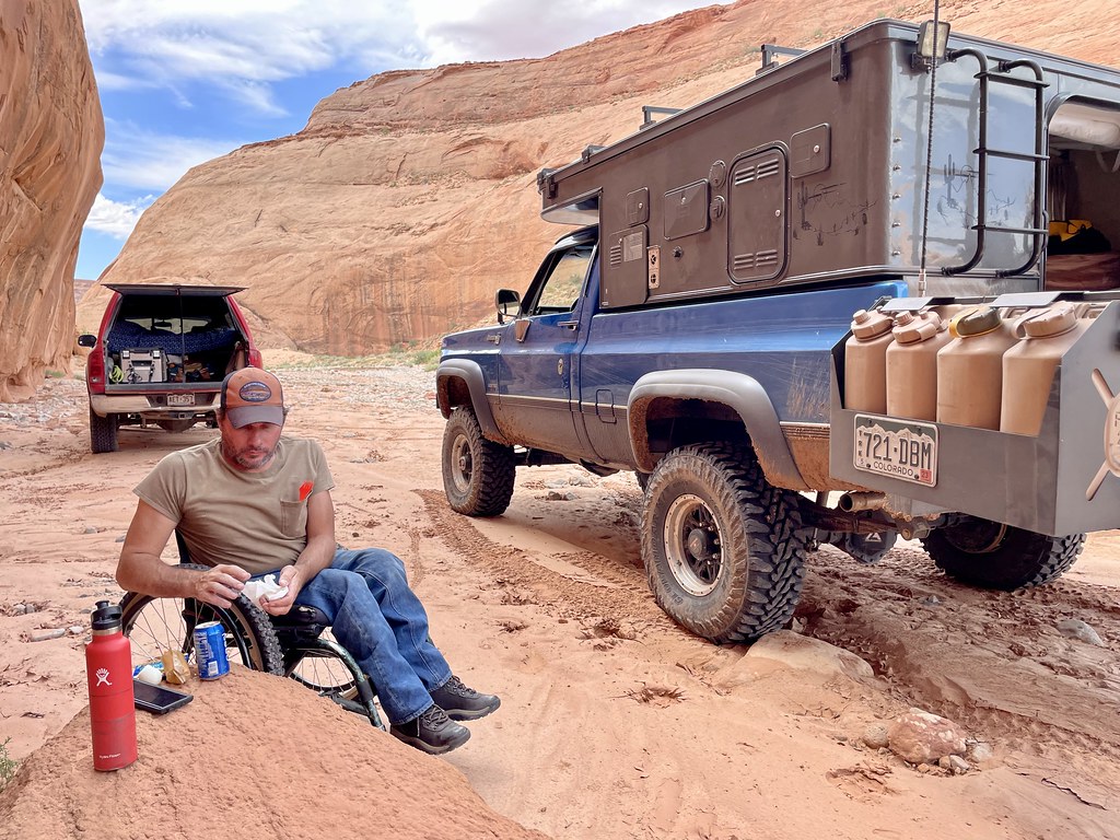
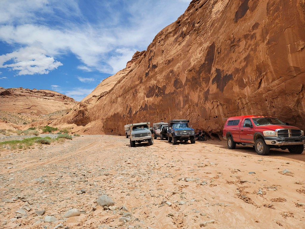
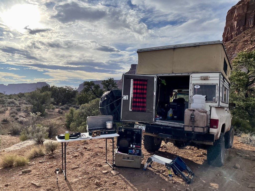
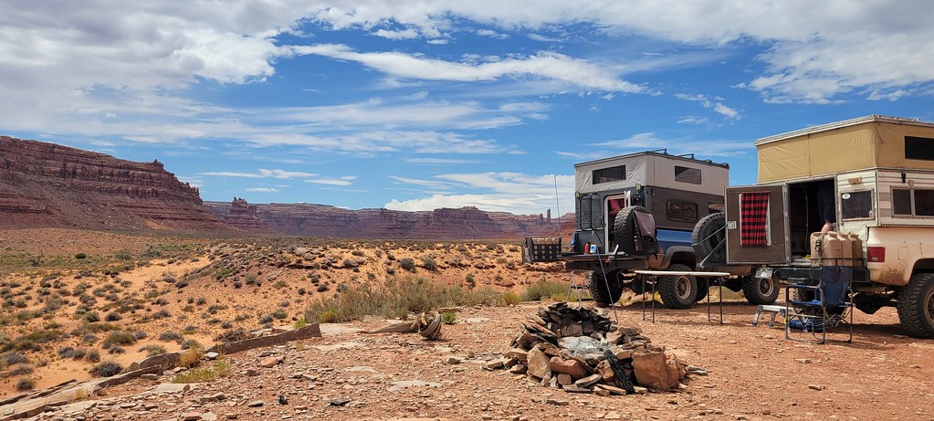
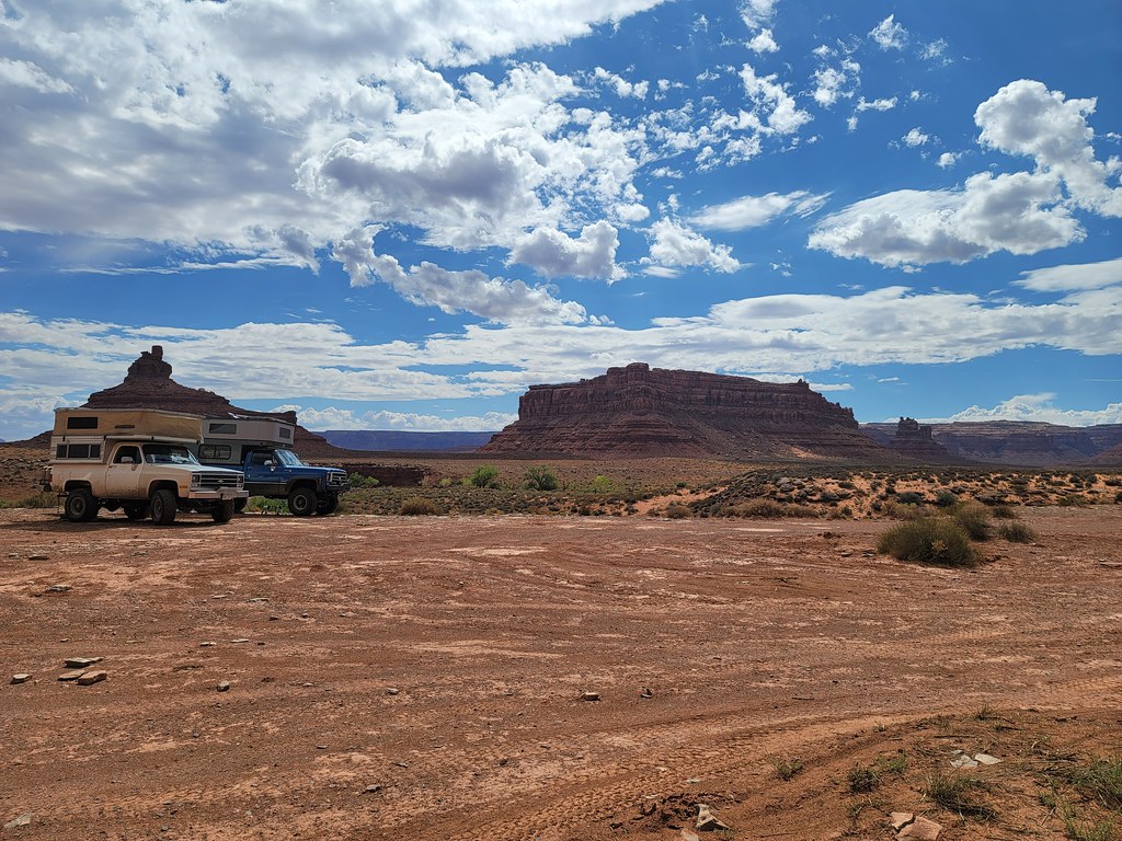
Last but not least is Don out of AZ. His Power Wagon is a little different with a new front bumper and Method wheels. It’s just a killer setup when combined with the Four Wheel Camper in the bed.
***Contunued….
The Colorado crew departs from Larry’s house at 6:30.
The sky is grey overcast and it’s cool. Very un-Pueblo-like, but it makes going to desert much more inviting. I rethought all that when I saw 107 degrees on my outside temp a couple of days later.
We head west on highway 50 and pass though Canon City and enter the canyon cut by the Arkansas river and follow it up to Salida. Bill is leading and setting the pace. We are talking to each other on the radios while driving through a light rain.
We did have a quick pit stop in Salida to use the facilities and grab road snacks/drinks. They were out of fuel though.
We proceed west along highway 50. Our first and biggest mountain pass was in front of us and I radio ahead to Bill about hijacking the fuel transport in front of him. But I get no response back. I look down to see my radio shut off.
Coming up the cloudy Monarch Pass:
This is pretty normal as my radio has an annoying feature that it shuts itself off if it is on for two hours. With it tied directly to the aux battery, it’s not a bad idea to keep the feature on as it prevents me from leaving it on after I park the truck and the radio kills the battery. So you just have to turn it back on. Nope. Not today. Power button is in responsive. Uh-oh.
I fire off a quick text telling him what’s up and to have Bill stop at the summit of the pass so I can inspect. Maybe it blew a fuse. We chug our way to the top where it was a chilly 45 degrees and I break out my volt meter to check it out.
There are inline fuses on both ends of the power lead and visually they look ok. So with the fuse holder open closest to the radio I check the voltage. It’s right at system voltage. Hmm. I’ve got my spare handheld radio I can use but it’s hard to hear it driving with the windows open at speed. But it’s all I can do because it looks like my main radio is dead at this point.
I pull mine out of the console and it’s not fully charged so Larry gave me his spare that was charged up. We slide back down the pass and encounter a newer Grand Cherokee pulling a teardrop trailer from Missouri. We end up passing the Jeep and then we heard a different voice on the radio asking for a radio check. Using GMRS we do pick up other people on the same channel from time to time. So Larry responds and the guy asked if we were in the squarebody campers in front of him. He complemented on all our rides and thought they were cool.
Conversation complete we rolled into Gunnison and topped off fuel (I got just a tick over 17mpg on that run, best so far with the 8.1). Fleeced well at the gas station we passed another 89-91 K5 rolling through town who gave us the thumbs up as we got by him.
Directly out of Gunnison is Blue Mesa Reservoir. It is lower than I’ve ever seen it. Sad really, but there were still many out on the water. We hit construction on the next little pass but nothing major.
Now on the western slope we boogied through Montrose and Delta to Grand Junction.
We are making good time and comparing with our fellow desert rats coming in from California, Arizona and southern Utah we had time to eat lunch.
After some good BBQ we gassed up again before hitting I-70 and pushing west again.
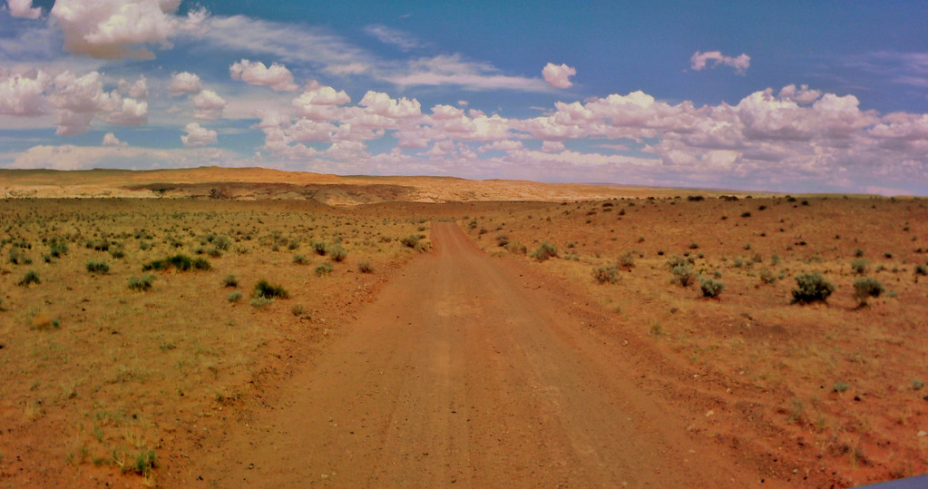
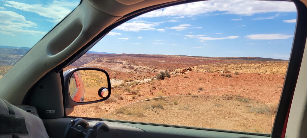
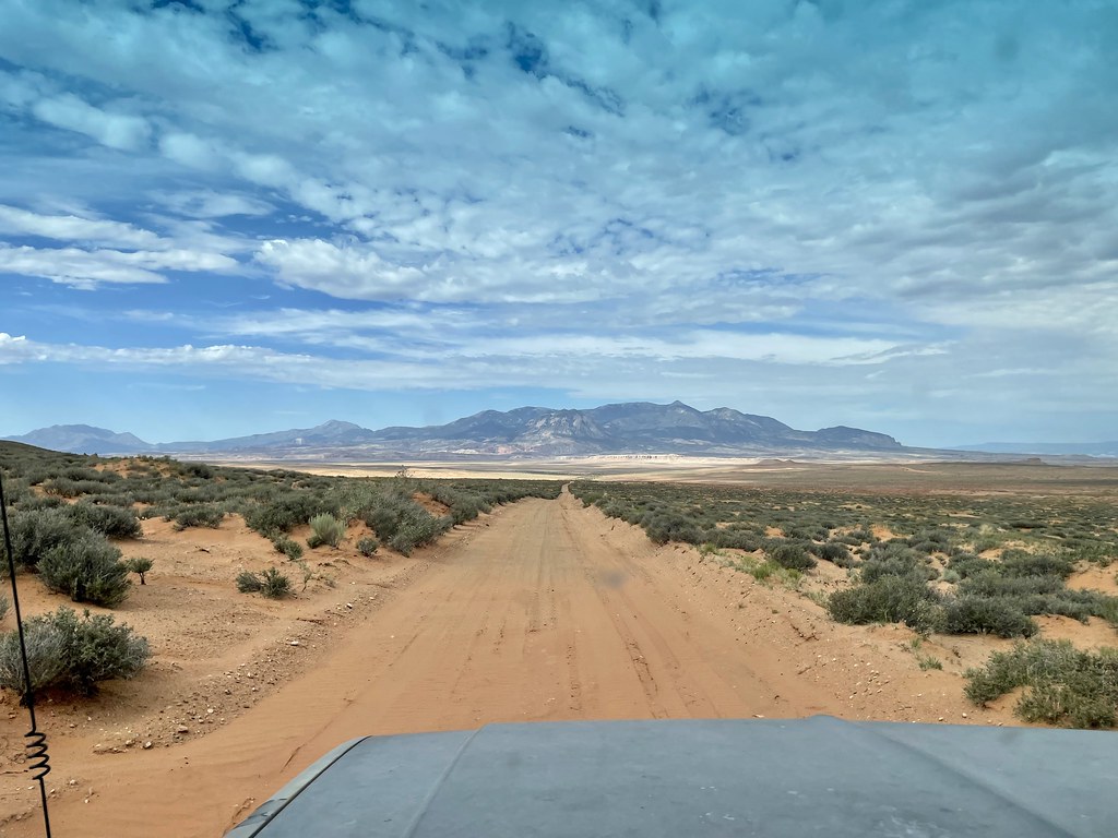
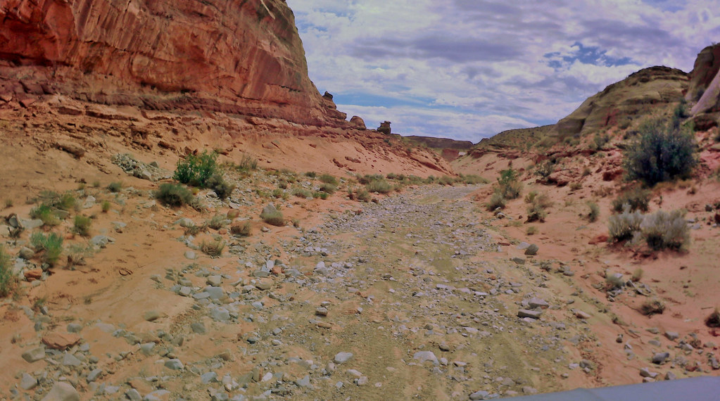
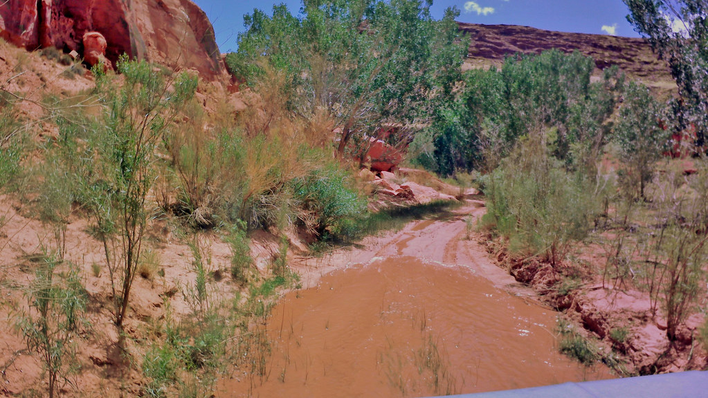
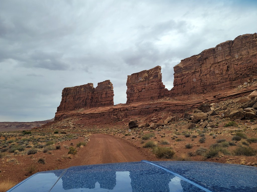
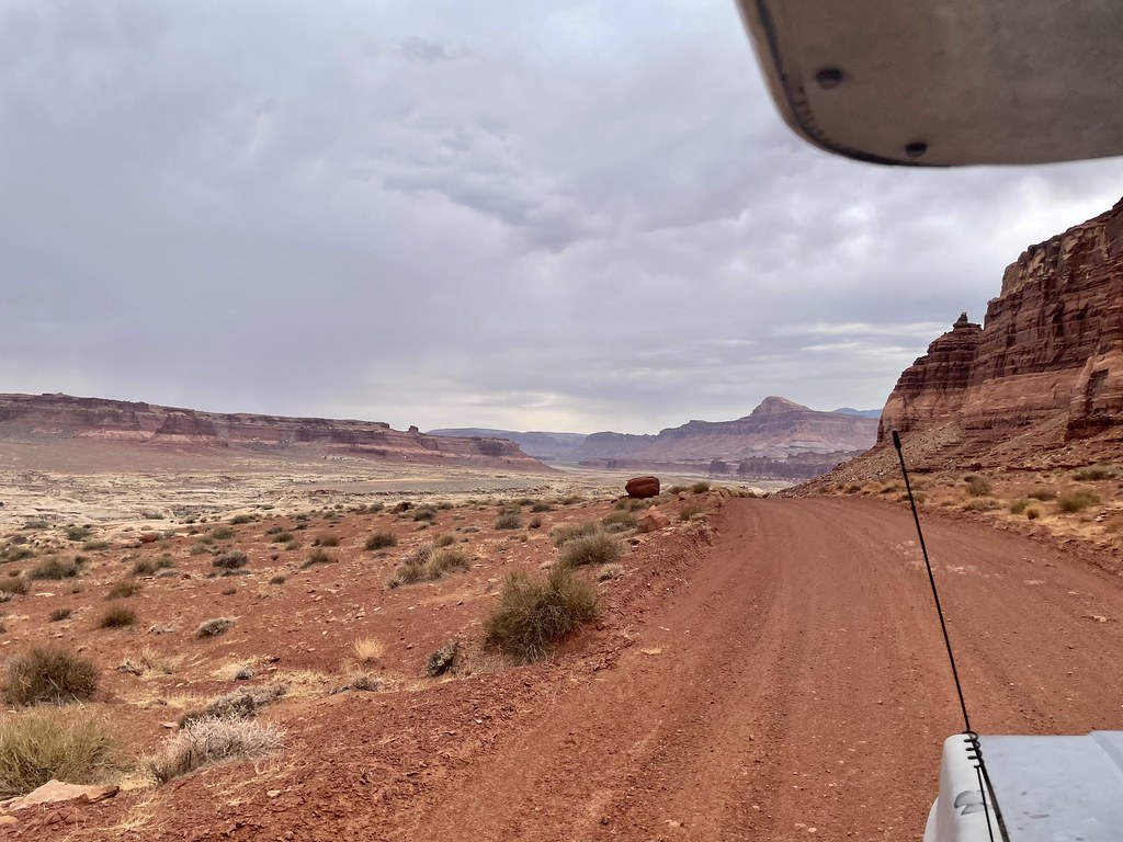
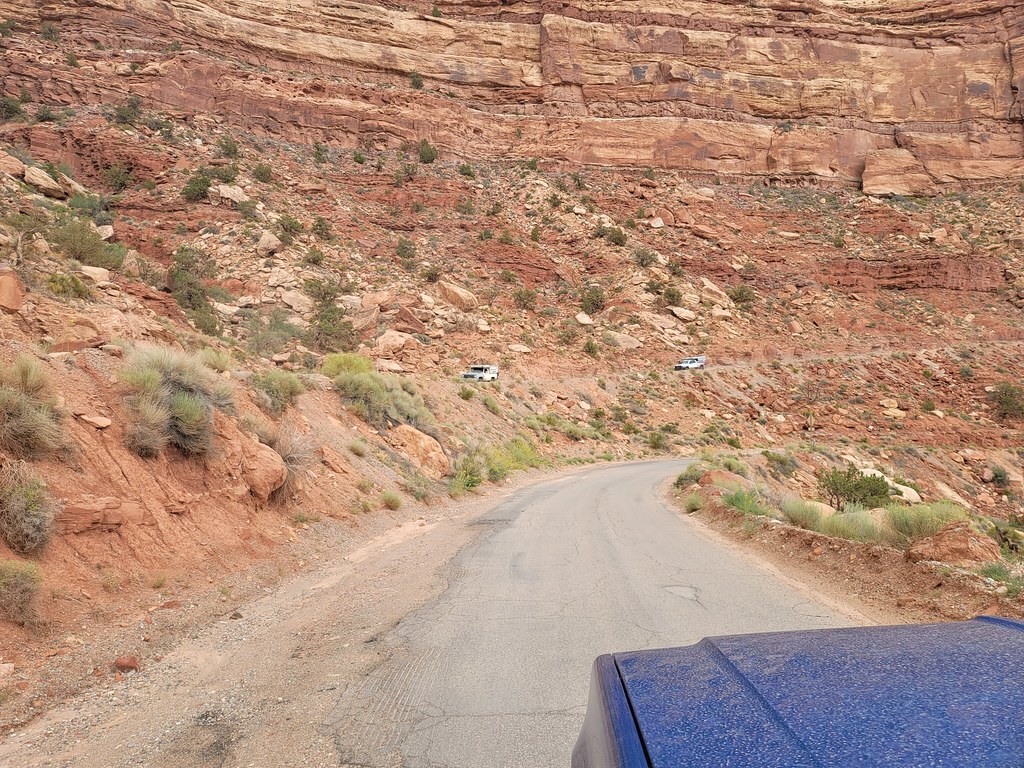
The run had us going past the Town of Green river and then turning south on state highway 24.
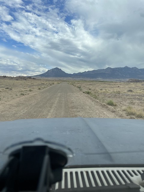
Coming down 24:
Those mountains on the left will be important later..
By about now I’m almost deaf. With no a/c and blasting down the interstate at 75-80 mph and the wind buffeting against the camper the sound was extreme. The stereo was cranked but couldn’t be heard much over the wind. Forget about hearing the handheld radio. I’d have to put it right to me ear to hear anything from it.
The heat was shooting up into the 90’s outside so driving with the windows up was not an option. But we eventually made it to our meet up spot in Hanksville and bought an ice cream bar at the gas station to cool off with and cold bottle of water. We refueled again and grabbed anything else we might have forgot while we waited for the rest to pull in.
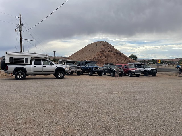
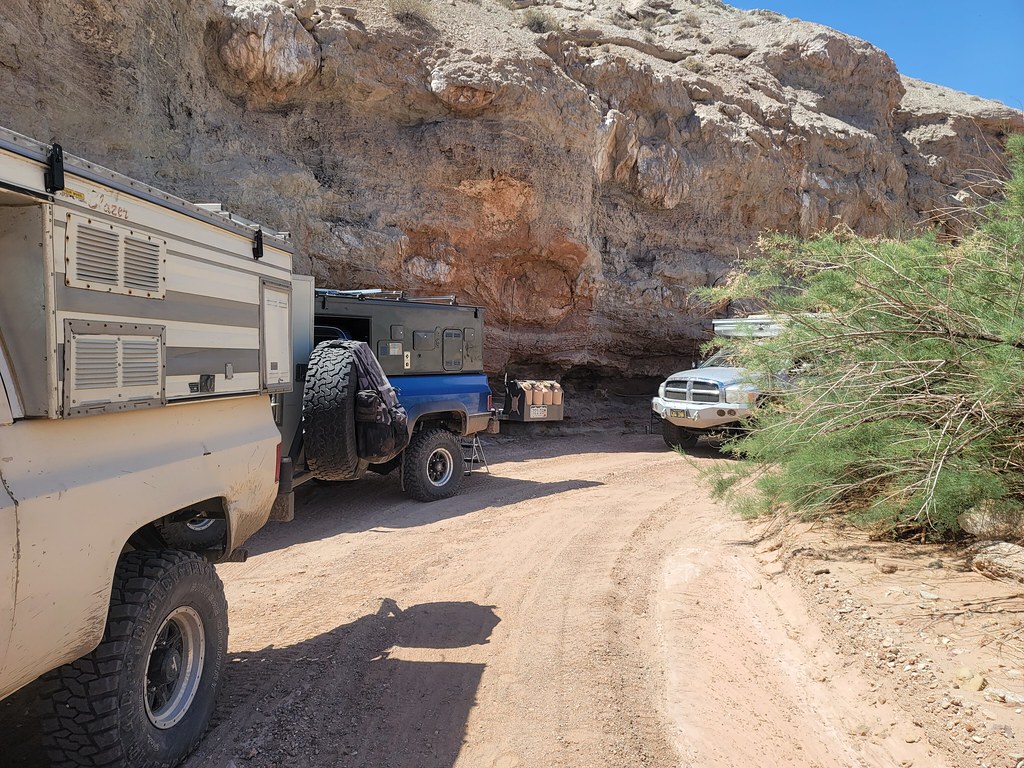
Waiting in Hanksville:
The gas station is pretty cool cut out of the rock on the hillside.
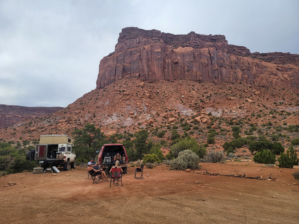
Thirty minutes in our friends Ty and his wife Jody arrived in their 4x4Inn as the plate says. That’s them behind the white van:
Since our last trip he’s rebuilt the camper as it almost got destroyed bouncing in the back of the truck as he yanked Larry’s truck up the Flint switchbacks 2 years ago. He’s also upgraded to kings on all four corners to complement the Carli suspension parts he already had onboard. The 24valve 6-speed manual is humming along as always. We greet each other and catch up while we wait for the others.
The next to arrive is Tony. He’s retired from UPS and now coming out of St. George UT. He’s been out on previous Desert trips but in a Rubicon Jeep or his super duty. This time he had a Lexus LX470, otherwise known as a Toyota Prado in other countries. Really simple but with an old man emu lift the it tackled everything with ease.
Here he is with Don pulling up:
Last but not least is Don out of AZ. His Power Wagon is a little different with a new front bumper and Method wheels. It’s just a killer setup when combined with the Four Wheel Camper in the bed.
***Contunued….