Hiking To Hidden History of The Sierras, September 2014

teotwaki

Excelsior!
http://suntothenorth.blogspot.com/2015/03/hiking-to-hidden-history-of-sierras.html

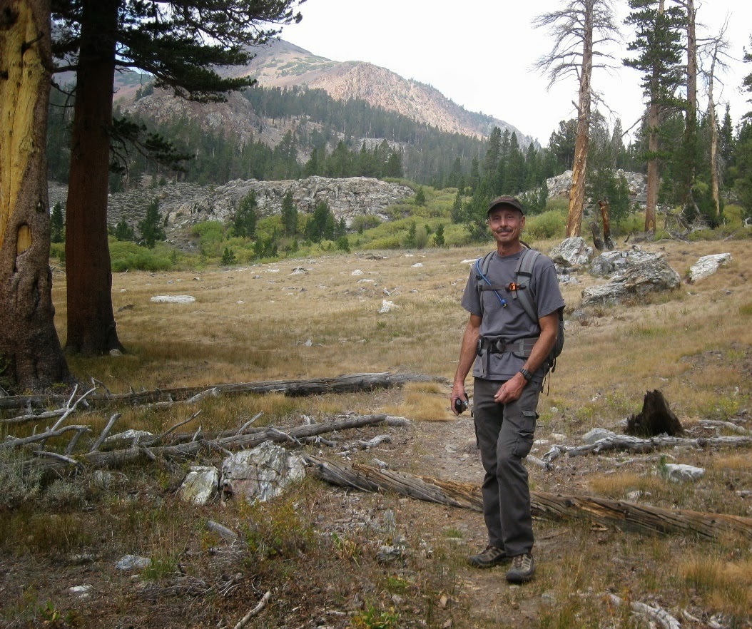
Come along on a great hike with Alan (Terawanderer) and I to some very cool history in the high Sierras.
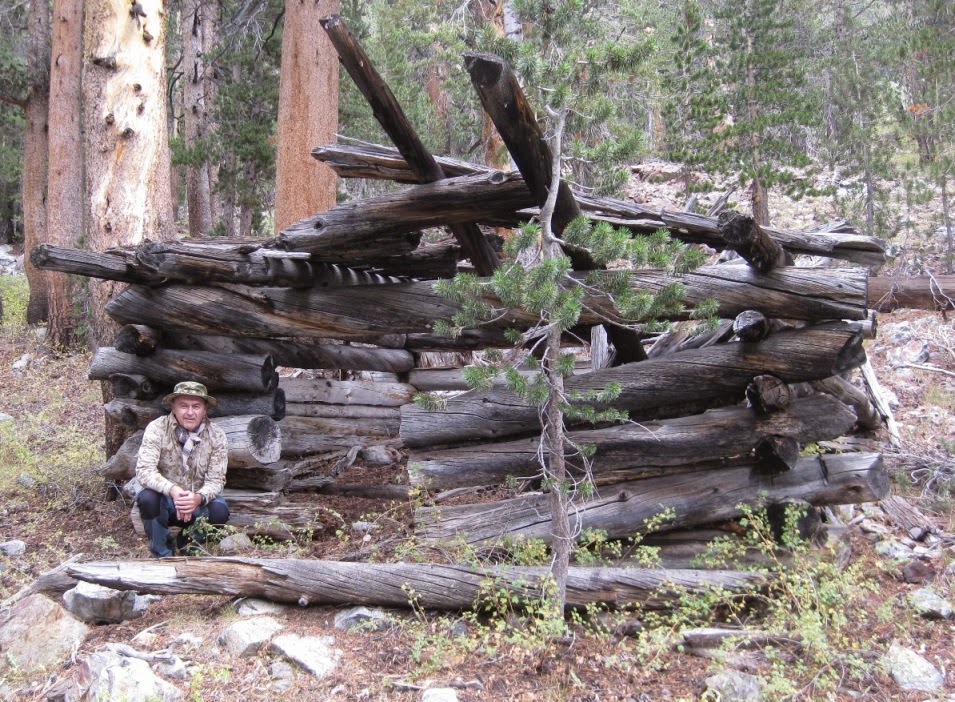
Old log cabins
IMG_2279-1.jpg


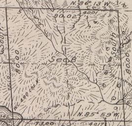
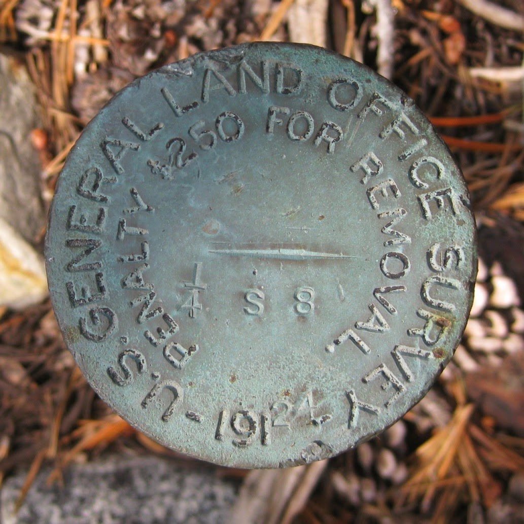
Old Government departments
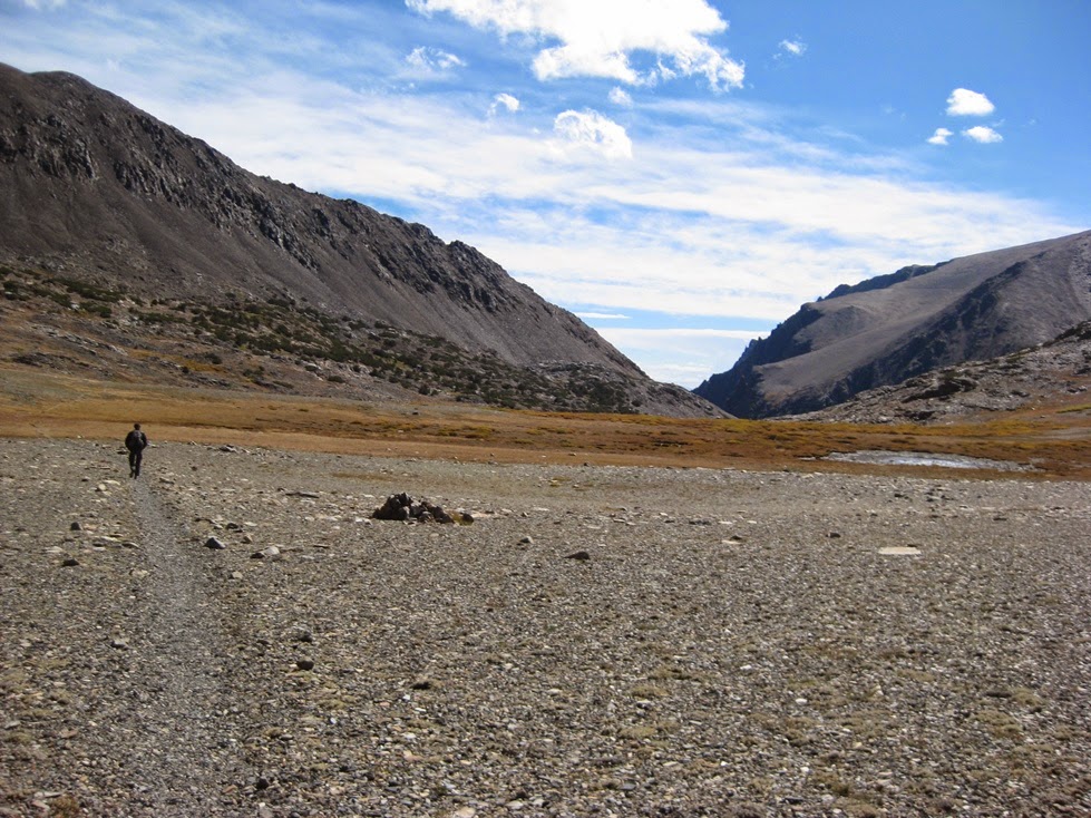
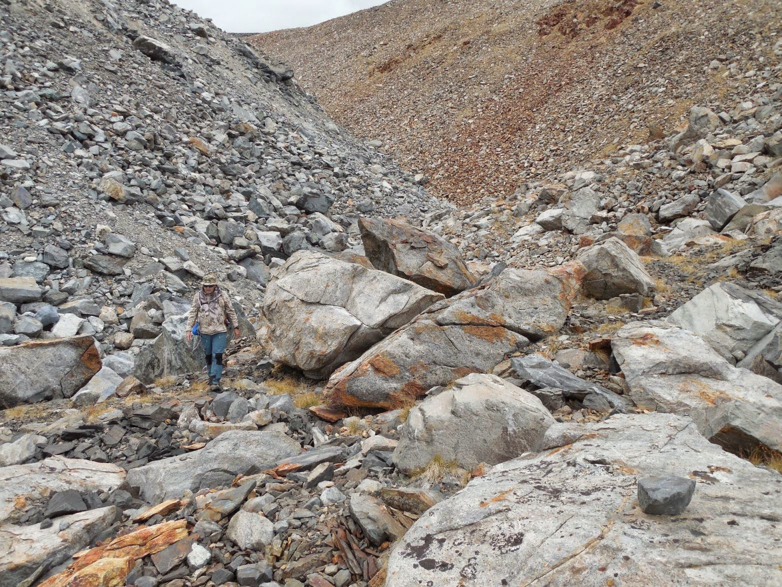
IMG_2295-1.jpg


Crazy terrain!
DSCN1956-1.jpg


1943 B-24E aircraft wreck
IMG_2359-1.jpg
 

teotwaki

Excelsior!
"The world was in the throes of a vicious war and the United States Army was purchasing massive fleets of aircraft and training young men to fly them on dangerous missions. One such training facility was in Tonopah, Nevada and the flight crews frequently crossed the Sierras to Army bases in California. One bomber of the AAF's stable was the B-24 of which twelve variations were produced. All told there were 18,482 made and 801 of those were the "E" variant. On June 21st, 1943 one particular B-24E had completed bomb training runs and started into the Sierras with its crew of seven anticipating a quick crossing."

air_liberator2.jpg


"Whether it was turbulence, bad weather, navigation error or mechanical failure the large 4 engined bomber with serial number 42-7118 was reported missing.

It took a while until a Curry Company employee spotted the wreckage on the side of a 12,968 foot Koip Peak. Yosemite Park Rangers Danner and Caster of the Tuolumne Meadow Station organized a party of Forest rangers to bring out the bodies on pack animals, leaving the remains of the ill-fated flight to sink into the glacier."
 
Last edited:

calicamper

Expedition Leader
My dad back in the day found a AF pilot after a jet had been missing over the Sierras for some time. Wasn't pretty This was back in the late 60's. He doesn't really talk about it but he and his old back country buddy found the pilot while trail blazing the back country just south of Yosemite. I grew up back packing up there never visited the valley till I was married with a 2yr old! I recall several times standing on a mountain top looking north and just making out some peaks around the Valley.

The last few years we did big back country trips they were all up north in the coastal Marble Mt Range. Fewer people and better water in the July/August time frame. Fort Jones entry etc.
 

teotwaki

Excelsior!
http://suntothenorth.blogspot.com/2015/03/hiking-to-hidden-history-of-sierras.html

Updates added to the blog:

I found some time to search the BLM database and it appears that this marker did not make it into the 2010 re-survey that was to catalog all of the GLO markers in California. Based on the marker's location with respect to the Mount Diablo meridian and the numbers on the front I was able to match it to a 1925 GLO survey document called a "plat"!

The U.S. Surveyor was Dupree R. Averill and the U.S. Transitman was Wesson Cook. Even though the marker says 1924 things moved slower in those days and the document was filed March 9, 1925. Lots of cool annotations such as the scale of "40 Chains to an inch". There were eight Quartz mines listed as mineral claims in one mining district. It looks like the signature of the U.S. Surveyor General for California is John Plover.
section8-1.jpg
 

teotwaki

Excelsior!
I found some great videos of B-24s in flight at YouTube. I added this one to my blog
[video=youtube;N1tiZHc7vp4]https://www.youtube.com/watch?feature=player_embedded&v=N1tiZHc7vp4[/video]
 

roverrocks

Expedition Leader
Excellent B-24 video. Thank you. My father flew 13 missions over Europe before being shot down by a German fighter over Germany in 1944. He and 8 others parachuted out of the crippled bomber and survived a harrowing year in the German POW camps before being liberated in 1945.
 

Forum statistics

Threads
185,833
Messages
2,878,704
Members
225,393
Latest member
jgrillz94
Top