La ruta de la Independencia 2007 Sept 14-18

efuentes

Explorer
We´re on the planning stages for our annual La ruta de la Independencia on the Copper Canyon Area on September 14-18.

This year route will start and end in Navojoa, Sonora. Going up from Navojoa to Alamos, Chinipas, Bahuchivo, Creel, Basaseachic, Yecora, Tesopaco and back to Navojoa.

We´re inviting people from all over Sonora and Sinaloa and expect around 20-25 vehicles.

Some people from Nogales have already confirmed, so maybe some Tucsonans can make the trip with them !!!

I´ll be posting the official route map and planned schedule next week.
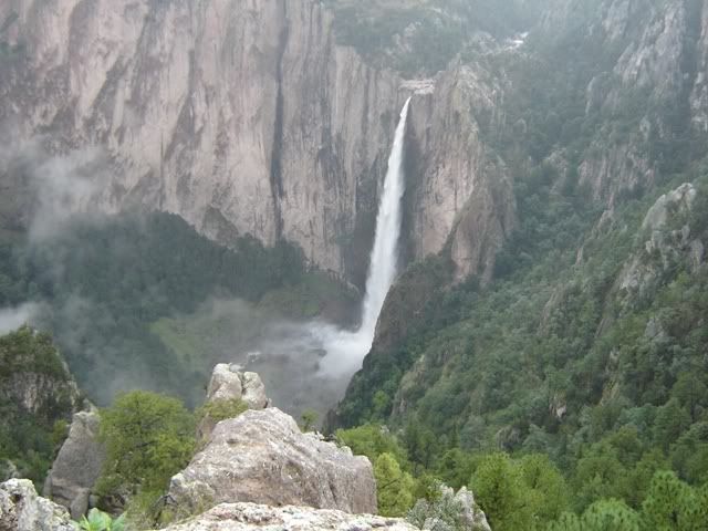
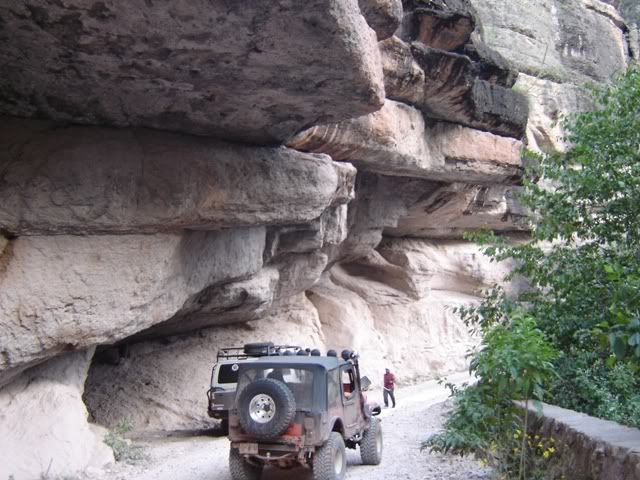
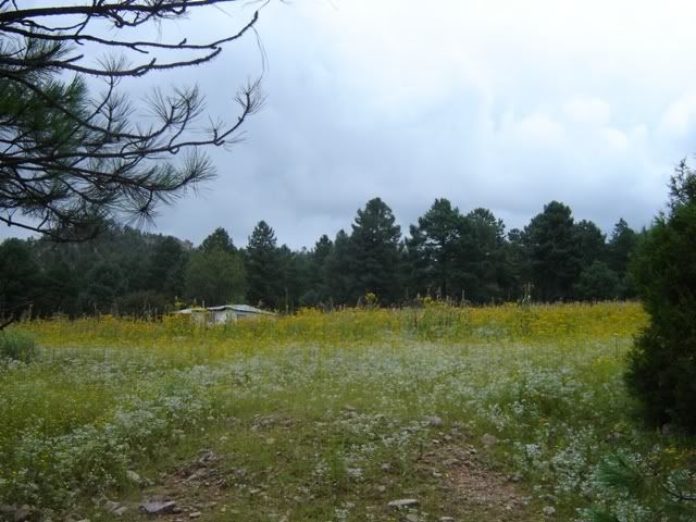
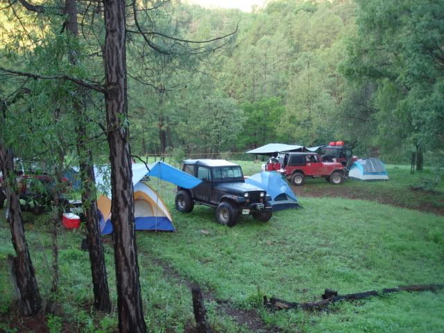
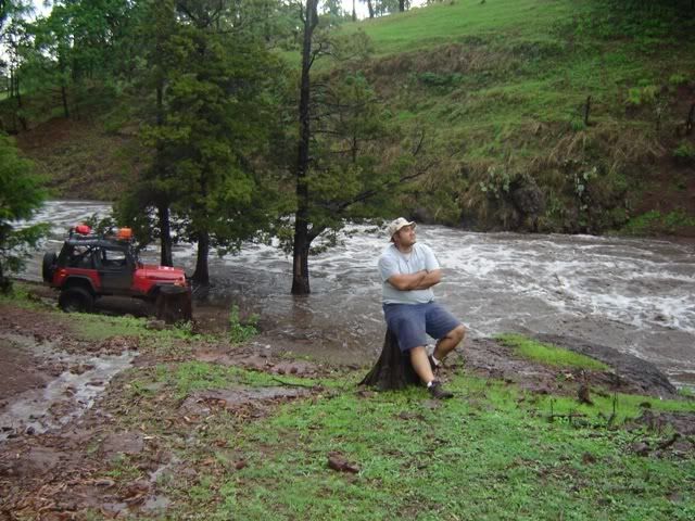
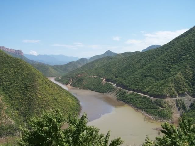
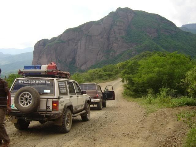
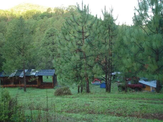
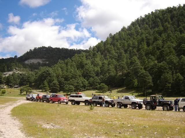
Some eye candy ...

JoseLuis20.jpg


DSC00575.jpg


Saludos
 
Last edited:

LexusAllTerrain

Expedition Leader
That is a very good route, congratulations; what do you thing the time frame might be to do the route with that many vehicles?:chowtime:
 

efuentes

Explorer
We usually limit travel time to 6-7 hours per day to account for the large group, it has worked so far ....

Saludos
 

LexusAllTerrain

Expedition Leader
I may be a player on this one, however I do not know if I will have my snorkel installed by then , I may need it for the river crossings!:wings:
 

efuentes

Explorer
You are asking the right web wheeler .....

The Lower Sierra, Huites dam becoming El Rio Fuerte, No mans land as in lawlessland, you better hurry up when you cross this spot ...

100_2890.jpg


Getting up the mountains from 500 to 6,000 ft in 2 hours.

We made a bet that we could take an 800 bucks, beat up Wagoneer up the Sierra and Back,
we did wrench every day, but made it in one piece.

DSC00579.jpg


Traveling the sierra, 40 degrees less than at the coast.

PICT0464.jpg


I nice camp halfway there ...

JoseLuis28.jpg


The tarahumaran lands, near Creel, Chihuahua.

DSC00601.jpg


Saludos from REALLY HOT !!! Mexico.
 
Last edited:

LexusAllTerrain

Expedition Leader
Lot's of rain in Temoris Chinipas?

I think it may be difficult to cross the Chinipas river, patiently awaiting the outcome, any other alternatives routes you may have incase you are unable to cross the river?
 

efuentes

Explorer
Because of the recent Hurricane, we're at a crossroad, some of us want to go up from Choix instead of Alamos an bypass the Chinipas River and some want to risk it, the problem for me its not the water but the amount of cars (I must be getting older and wiser :)), we have a meeting this afternoon, we'll see.

We are now dealing with way more people than what i'm confortable with, in the past that has always been a problem, I really prefer a tight compact group.

Saludos
 

efuentes

Explorer
We are back ....

Man, was it nice !!! Lots of rain, lots of kilometers and a deep river crossing to boot !

Some teaser photos.

Basaseachi fall, at 650+ feet.

DSC04047.jpg


Somewhere near Cuiteco.

DSC03998.jpg


Near Creel.

DSC04040.jpg


Saludos
 

LexusAllTerrain

Expedition Leader
Very nice we need more pictures!


Oh! and I am glad I did not make this trip, you had a long ( 50 ) group of jeeps?:wings:


Please keep us posted with trip report!
 

Forum statistics

Threads
185,883
Messages
2,879,161
Members
225,450
Latest member
Rinzlerz
Top