Buttermilkbiscuit
New member
So I’ve recently found the time to go through my photos from my trip on the Southern Utah Traverse Trail. This was a solo person/ solo truck trip. The dates were October 17 thru October 29 2017.
The trail in-itself (any-which way you want to travel it) is close to a thousand miles of dirt and my full mileage was 1,980 miles from and ending back in N/ Central Arizona. $400 dollars of gas was spent on the entire trip. I averaged 14mpg on the dirt portions. Which is .5 mpg over my street average! I was pretty happy about that, because I budgeted $1,000 for the trip and only spent a little over half that…
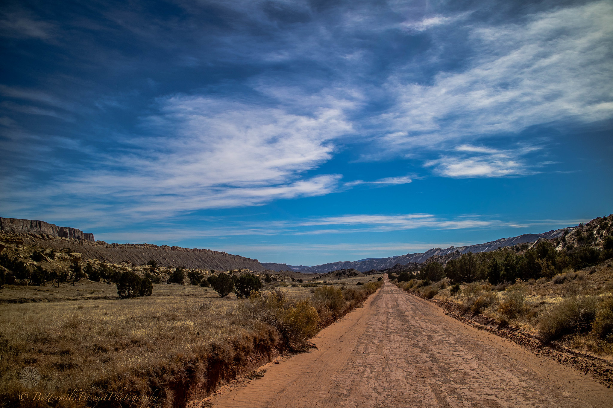
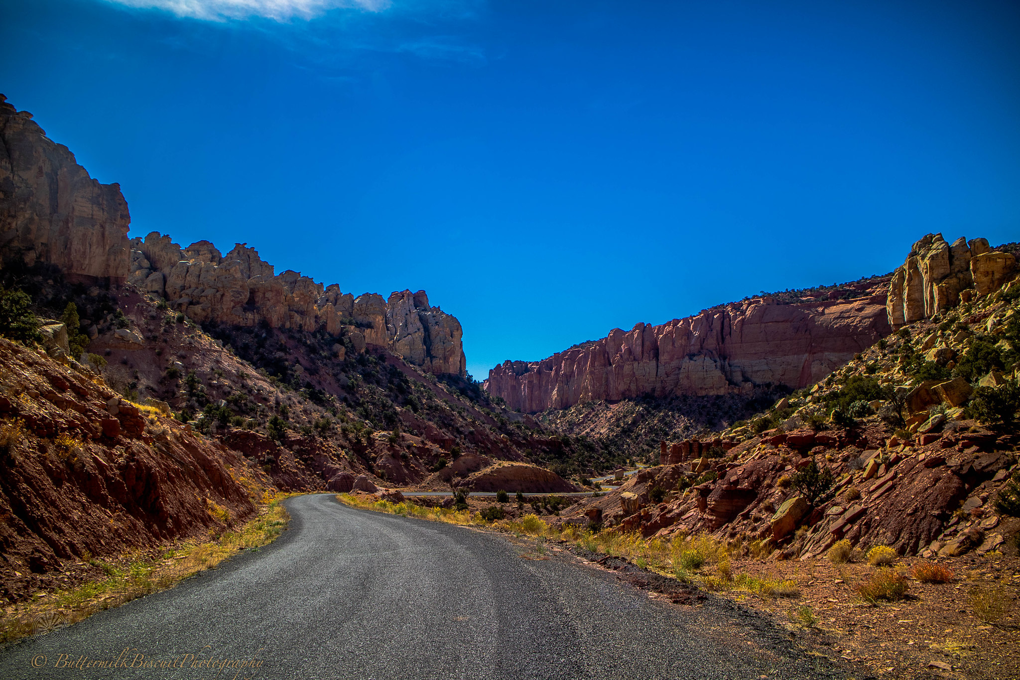
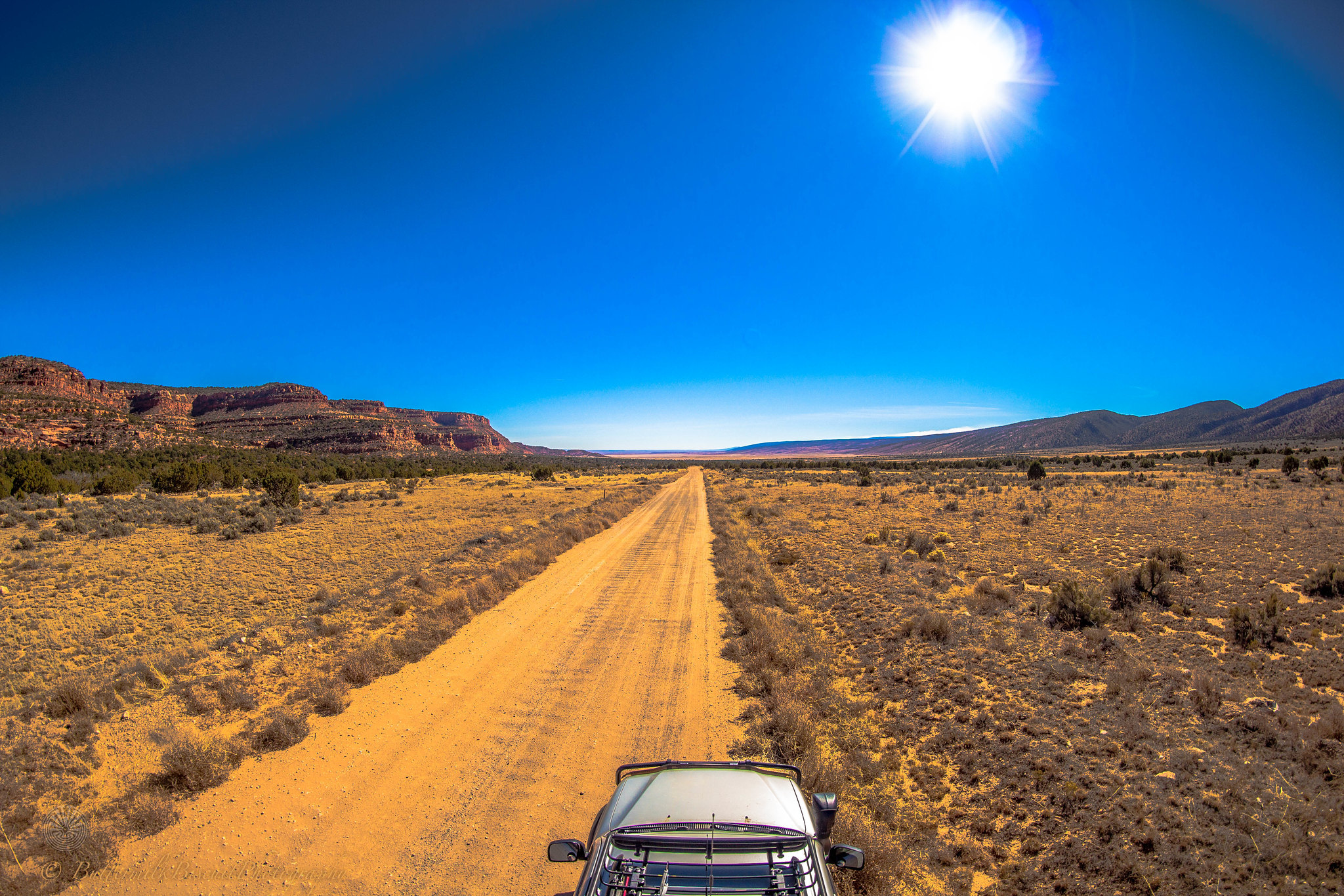
Most of my trip, the roads were well maintained. Besides for Beef Basin, Sunset Pass/ Hatch Canyon, Hole in the Rock Rd and up-and-over the Henry Mountains the particular route I took was 2wd HC capable. But rains can change the terrain of the desert quick. The off-road route (until nearing Kanab) was extremely desolate. In NF and the NR areas, this time of year were heavy with hunters; so be aware of that when hiking.
All the National Parks were packed! The further from asphalt I got the less people (and trash) I generally found. But almost everyday I’d see at least one suburbanite slob on a dirt road in their rented RV or cargo-carrier equipped suv; driving three miles an hour, avoiding every nickel-sized rock (all-the-while driving) in the (middle of the) road.
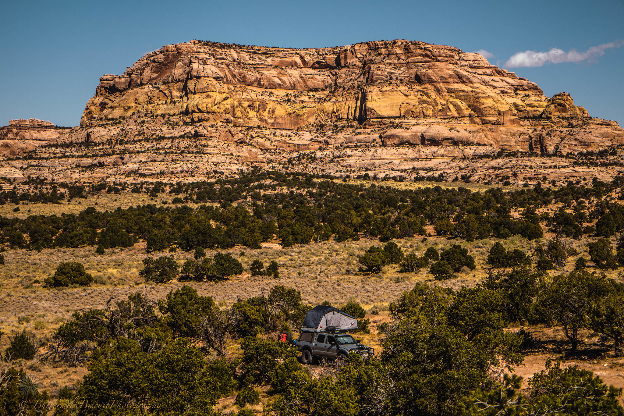
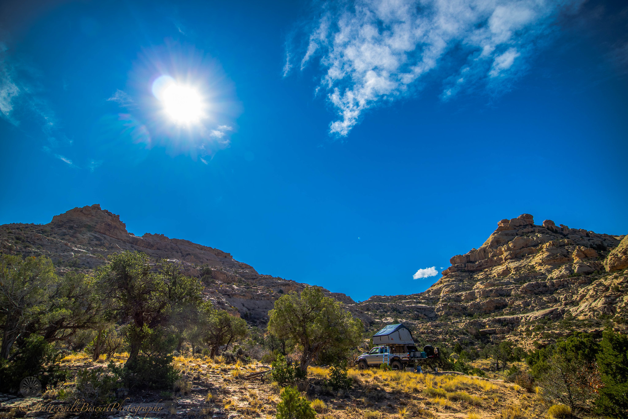
For anyone wanting to do this trip, it can be done in five days if you’re early to rise and enjoy driving well into the night. Early October would probably be the best “after-summer” time to go. Monsoonal weather/extreme heat are usually over by then.. Mid to late October was nice, but no shortage of skin-stinging wind on some evenings. I monitored NOAA weather radio everyday and the weather report would shift from a positive three-day outlook to an outlook the next day of 50-70mph winds within an hour of the previous report. But all-in-all the highs averaged 75-83℉ in the day to 38-51℉ at night. Higher elevations dropped those temps 20℉-30℉ and similar lower temps when there was cloud cover or when the wind kicked up. I used my Little Buddy Propane heater almost every night. At 10,000’ in the Henry Mountains I had to don a balaclava, gloves and winter jacket to set up camp. And a few nights I had to wrap up in my 20℉, 40℉ and two 15℉ mummy bags all while sporting my long johns and a cap to get through the night. Most of the days I was shirtless in shorts in my flipflops.
The trip started in Cortez, CO and I got as far as Hurricane, UT before I scraped the rest of the way to the Nevada boarder and headed back into N. Arizona for more backcountry then up to the Kaibab Plateau and then onto the North Rim…
I didn’t pre-plan the trip. I planned to drive to Cortez from home, camp that night, and figure where to go the next day. Every night after setting up camp, I cracked open an adult beverage and consulted my trusty Benchmark Utah Road Atlas and decided the destination for the morning. Not pre-planning my route only screwed me a few times. Most notable; I tried to take Kane Springs Rd (Near Moab) from the 163, west to Lockhart Basin to camp for the night over the Colorado River in Canyonlands NP. Then intersect with Indian Creek Scenic Byway later the next day. But my truck wasn’t nearly competent enough to make it.
But other than that, every route choice I made was perfect and I had a great time, no regrets.
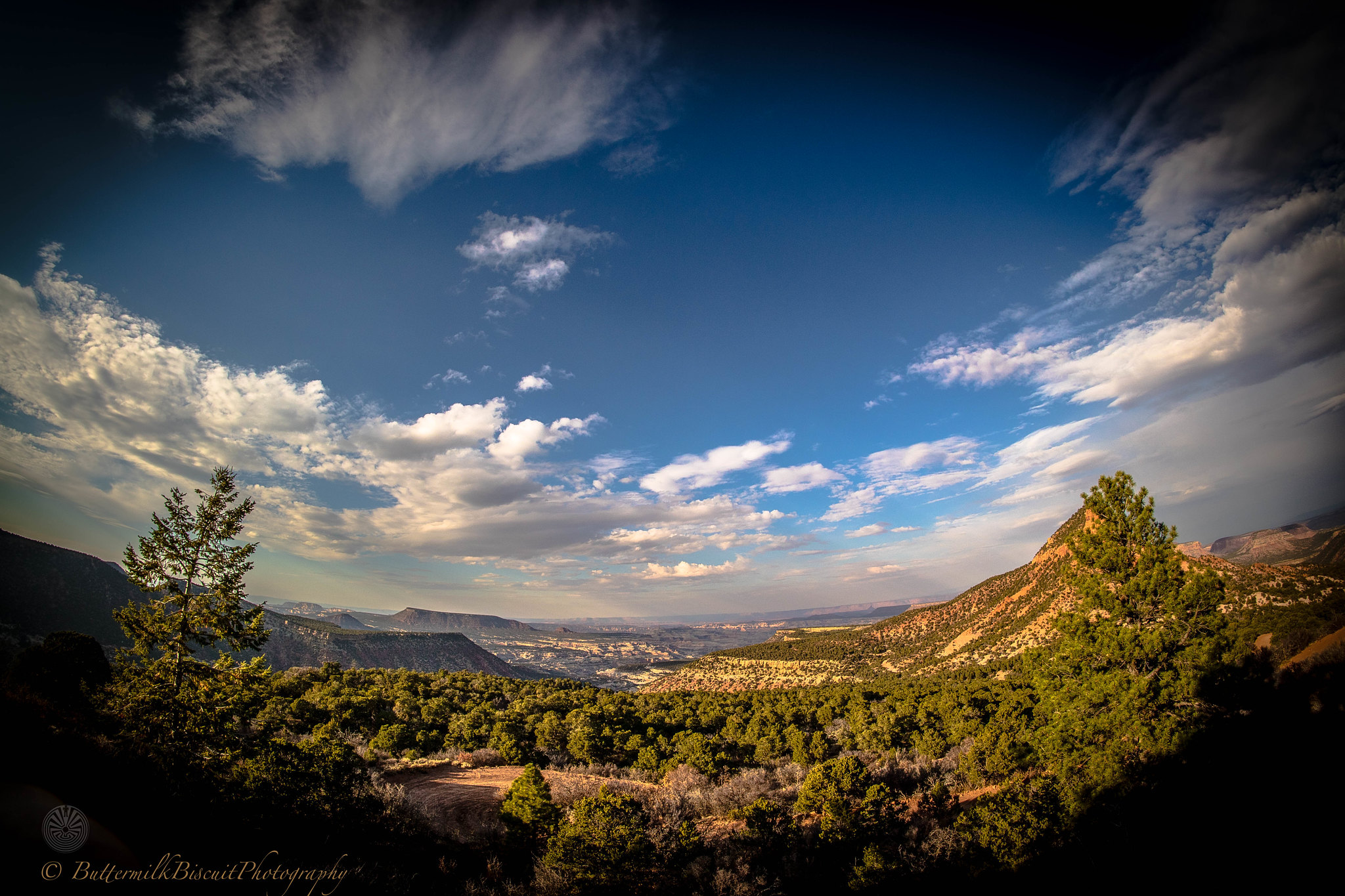
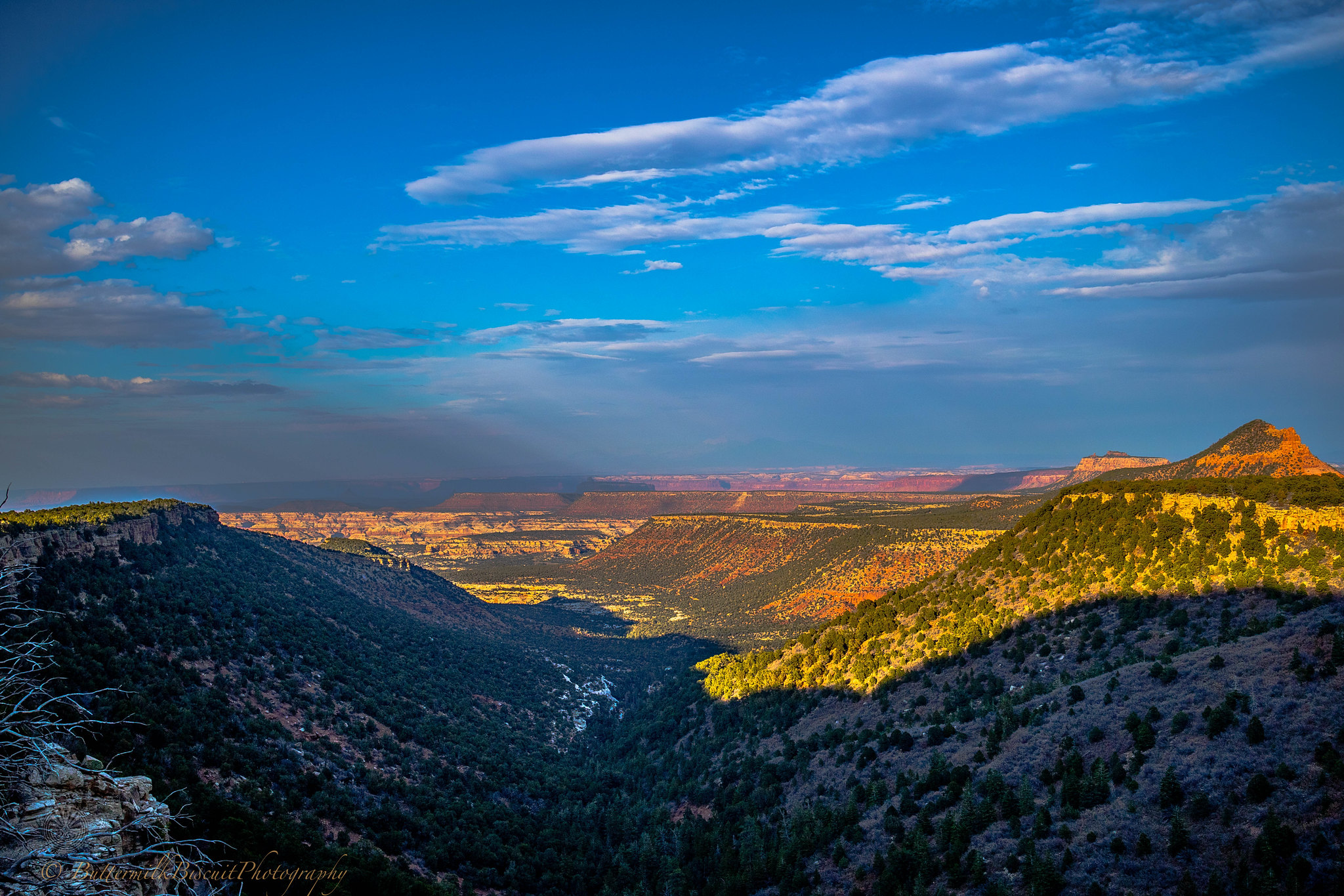
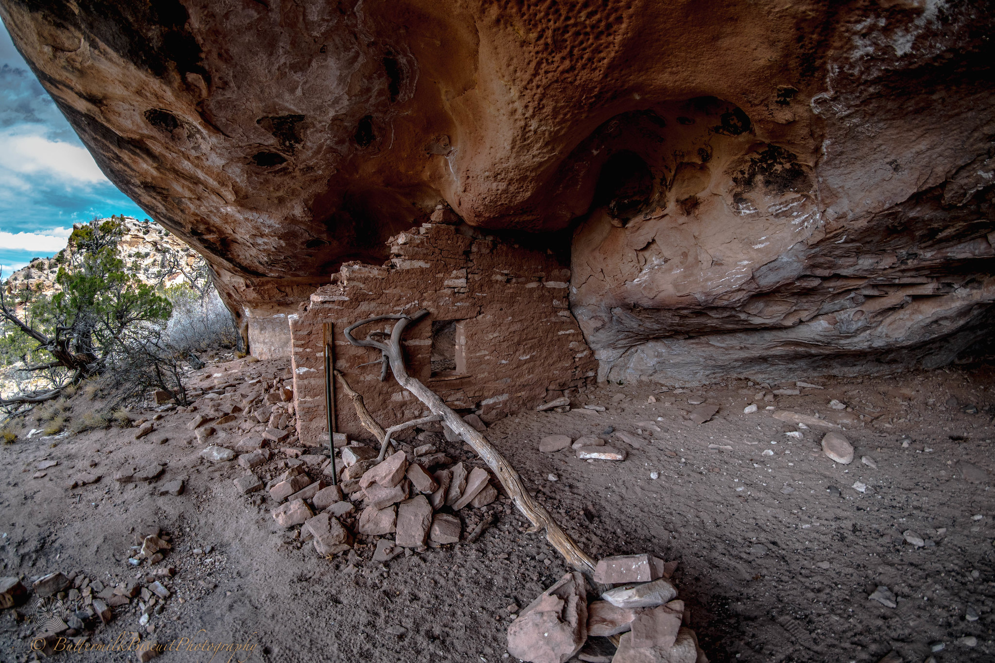
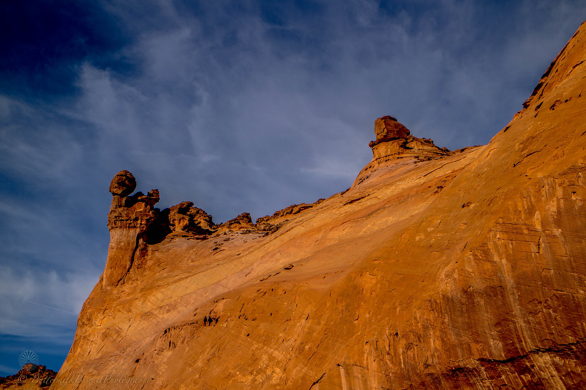
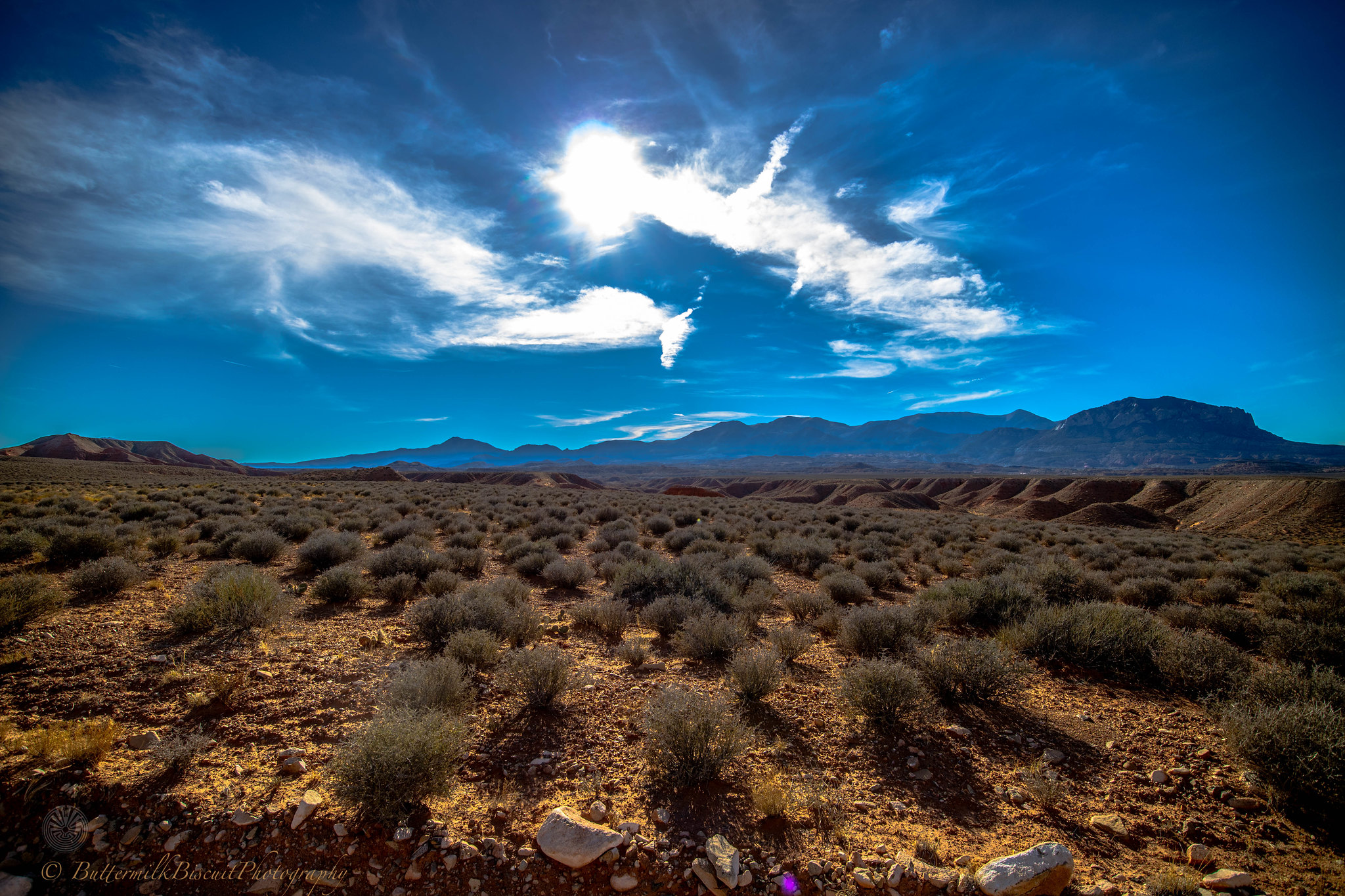
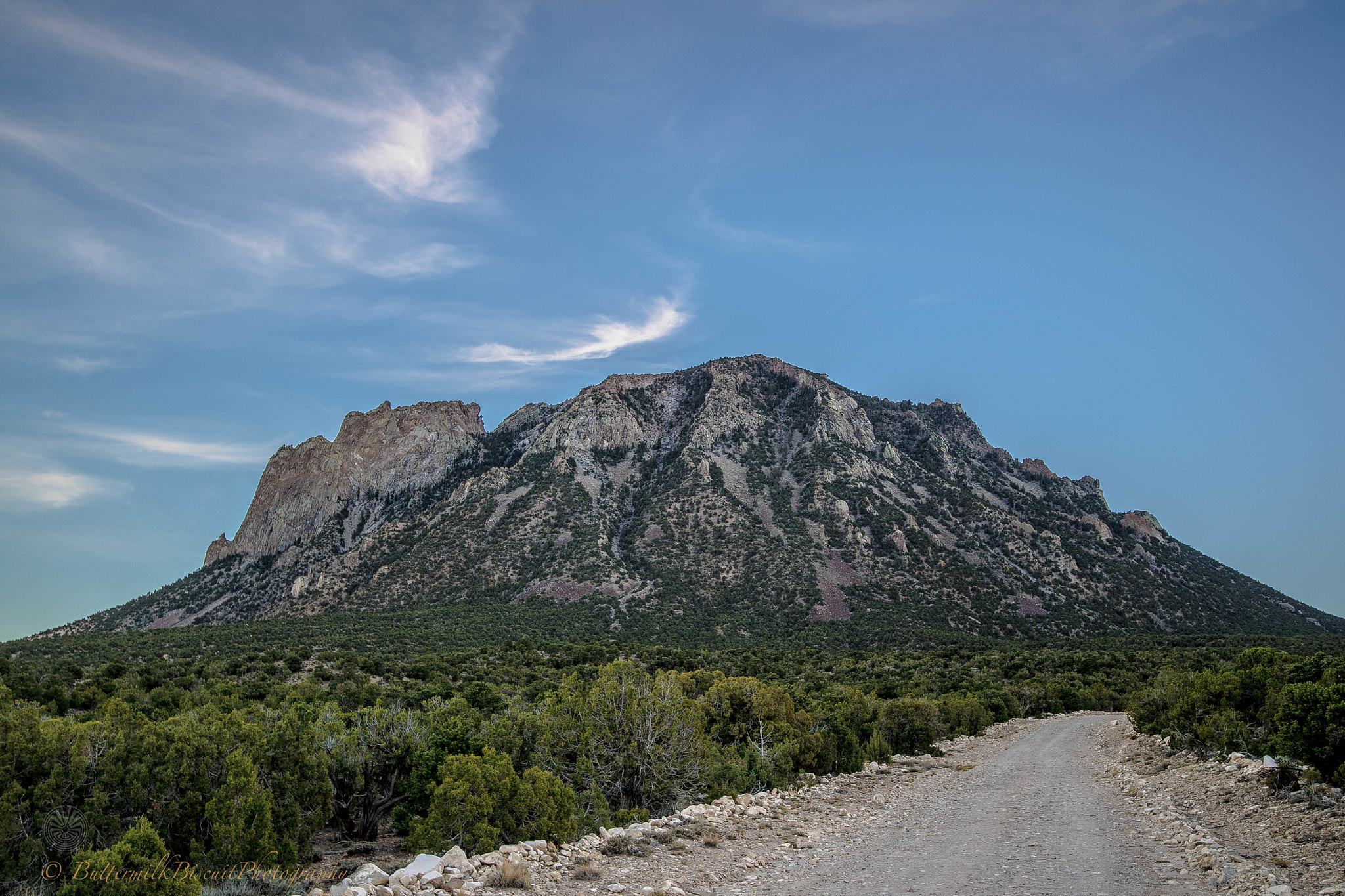
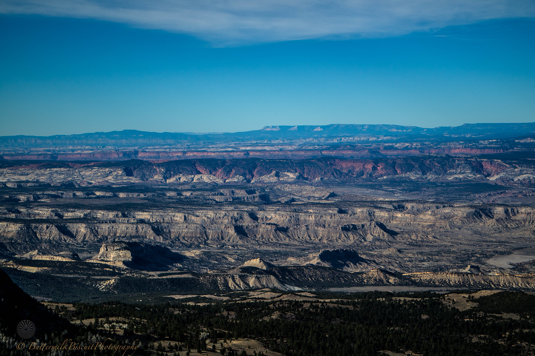
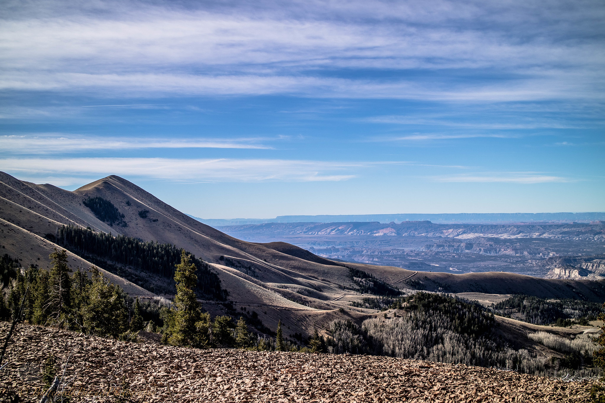
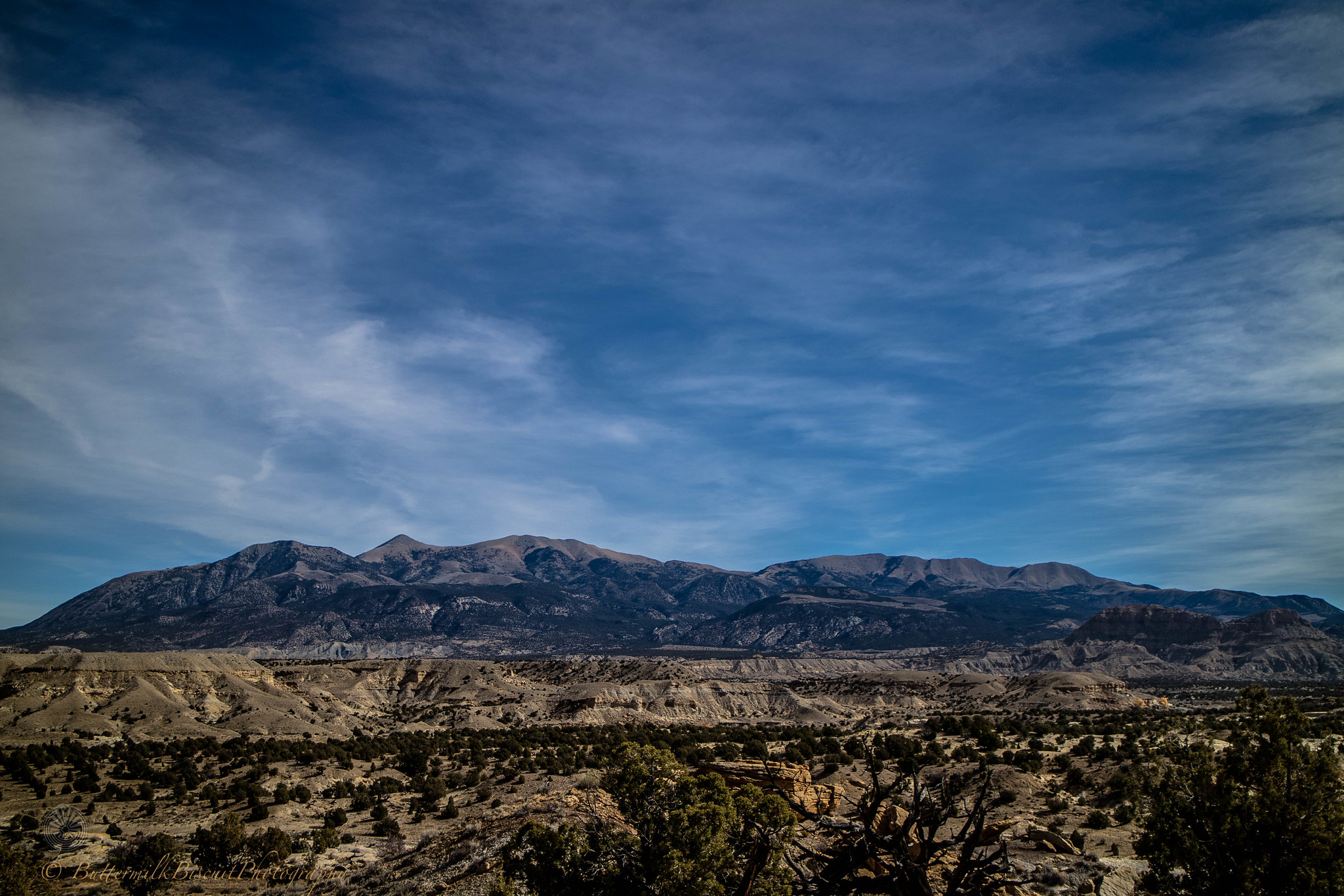
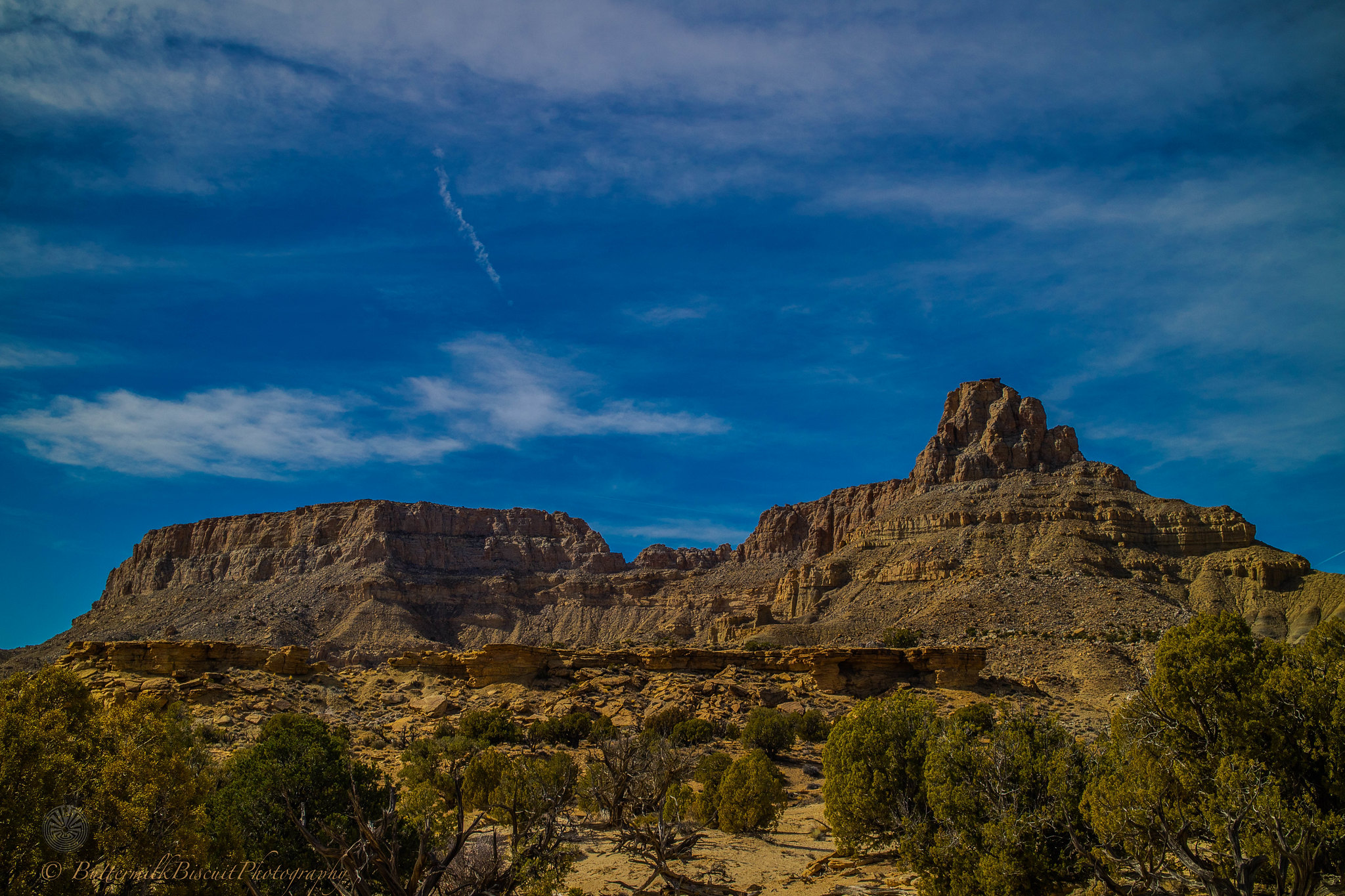
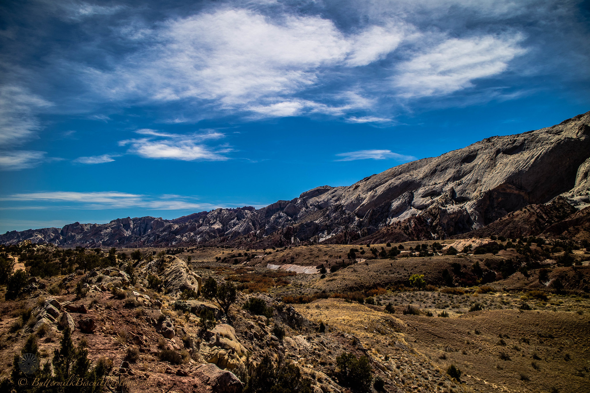
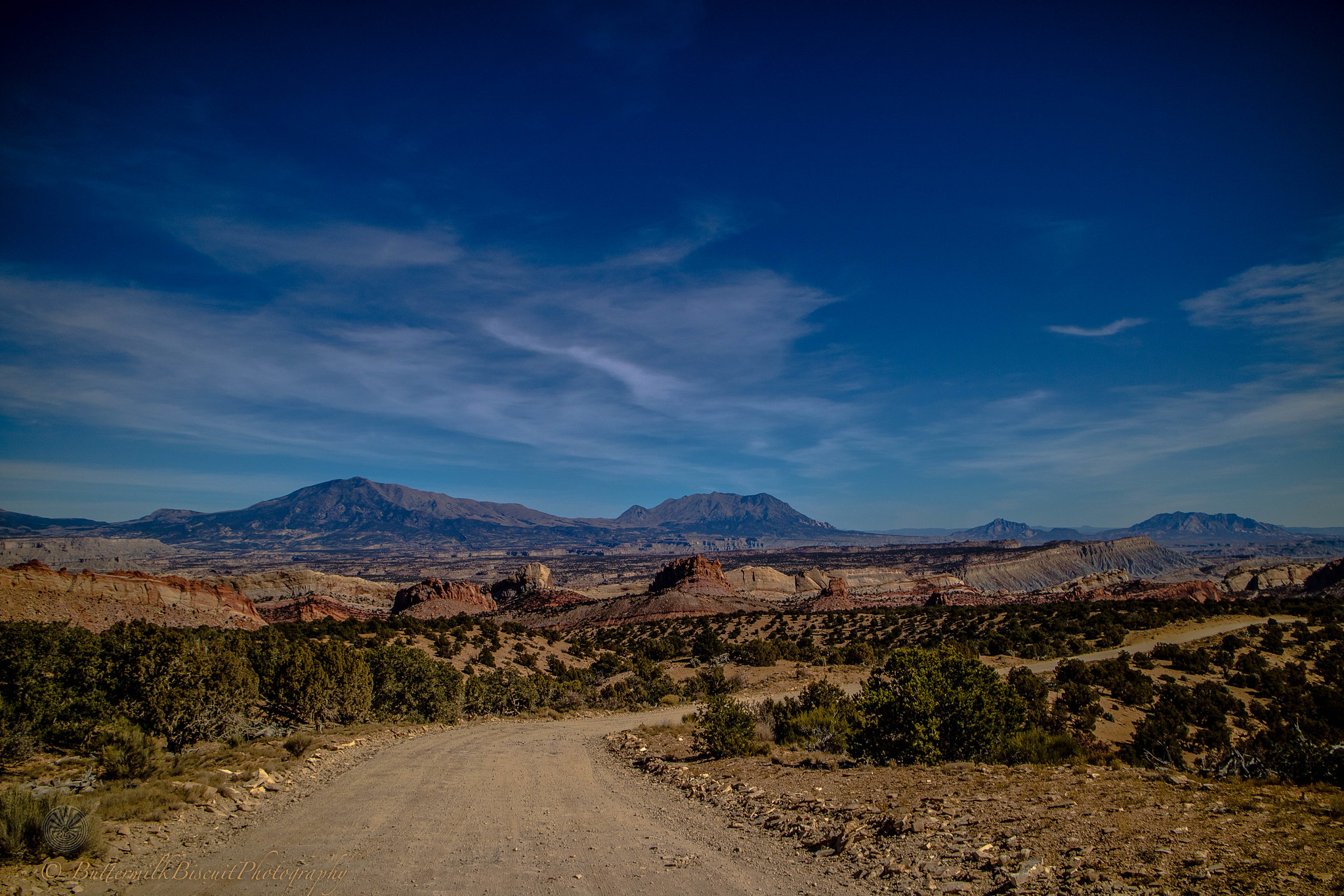
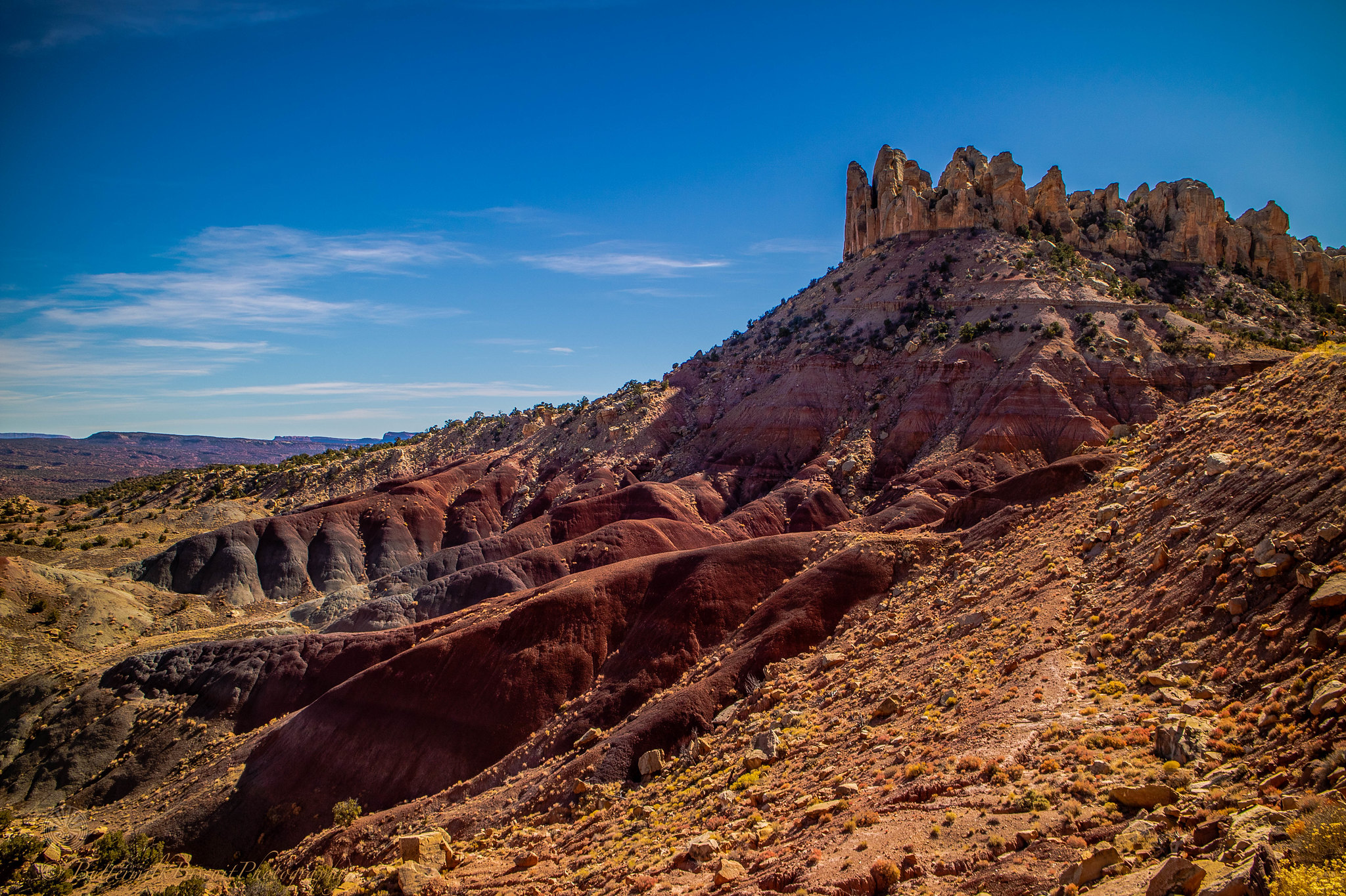
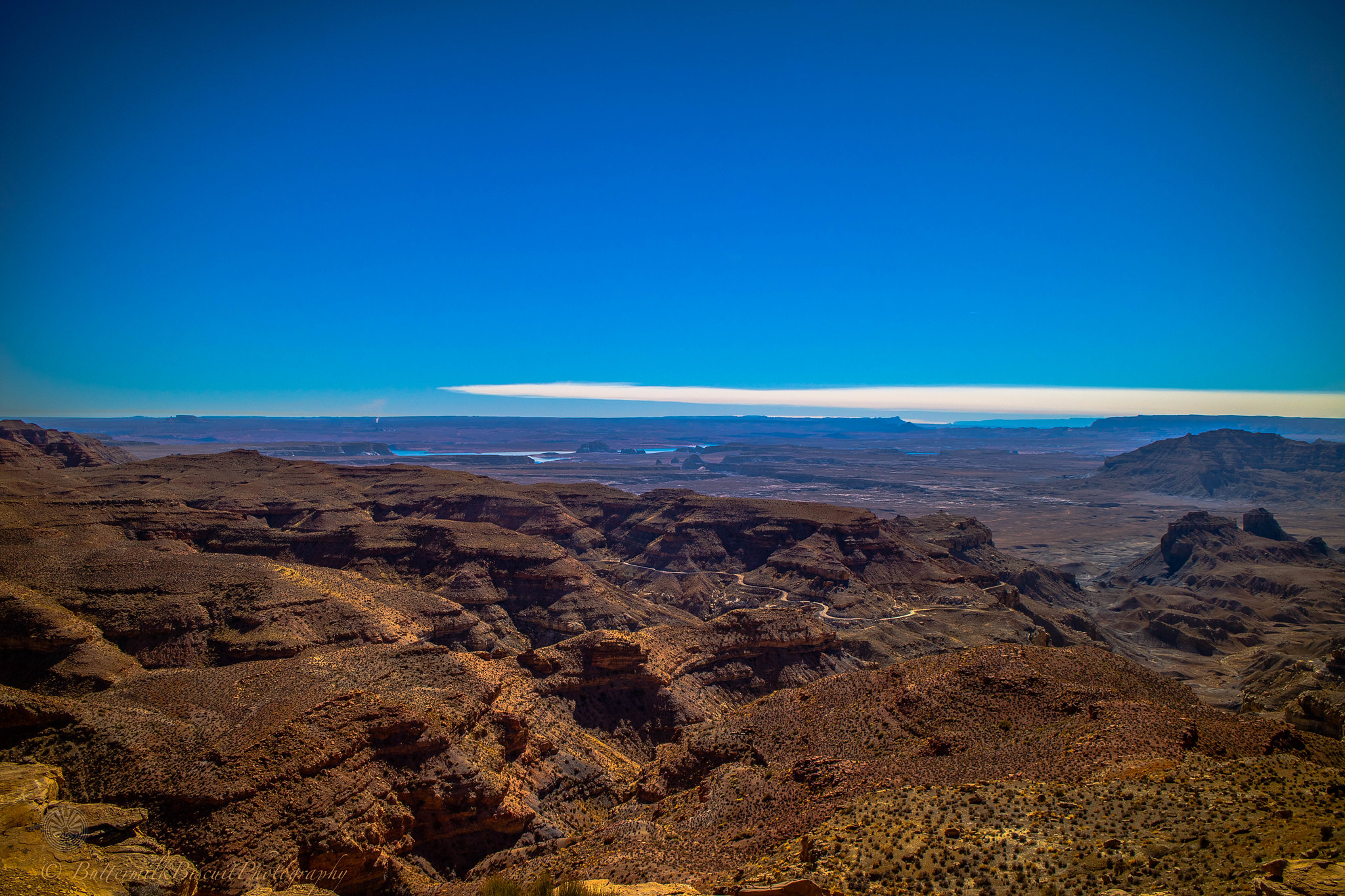
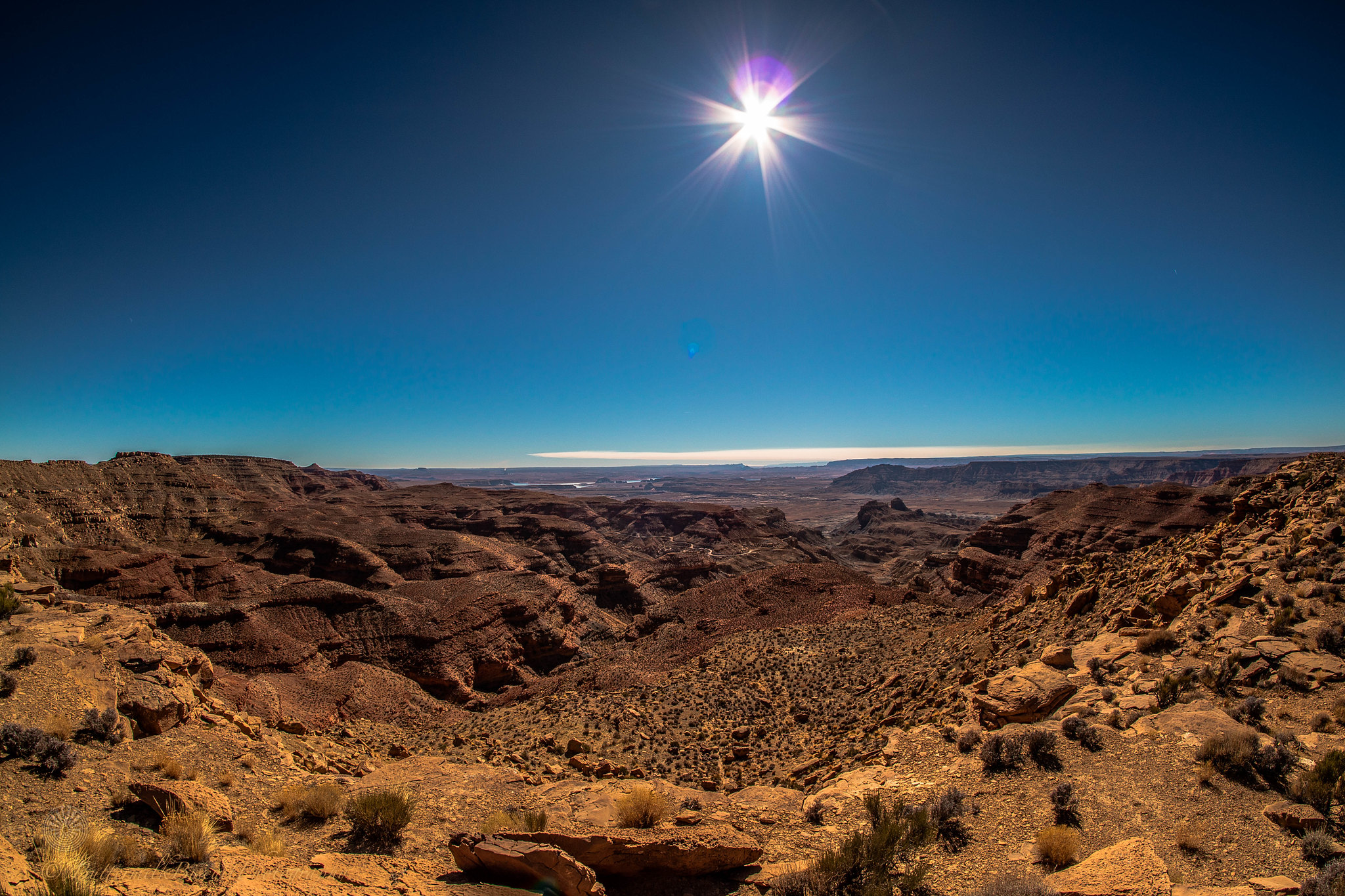
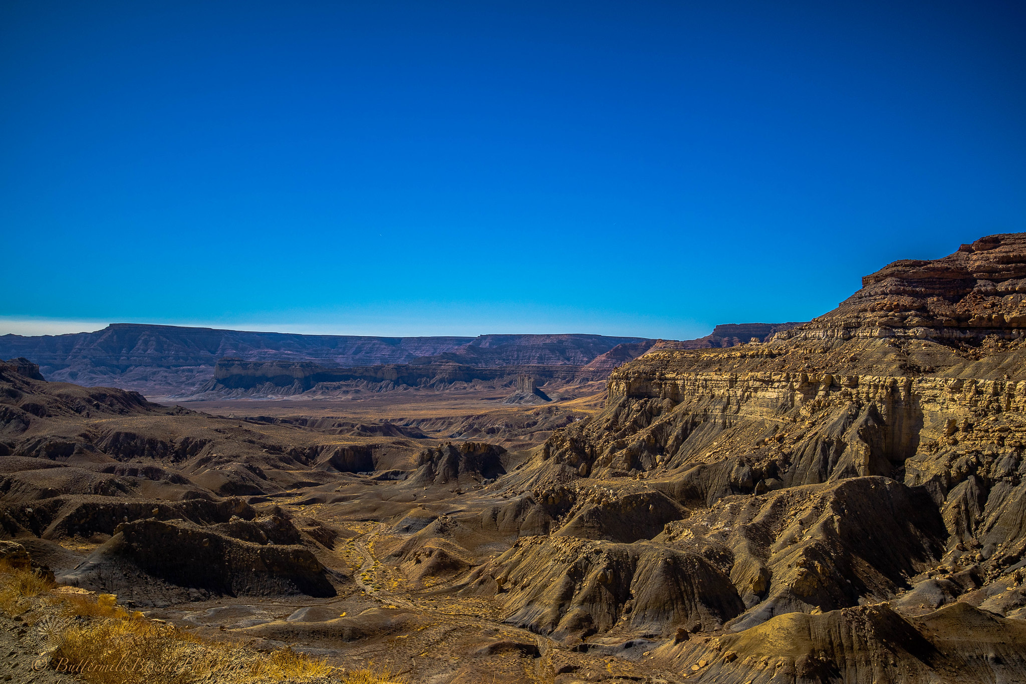
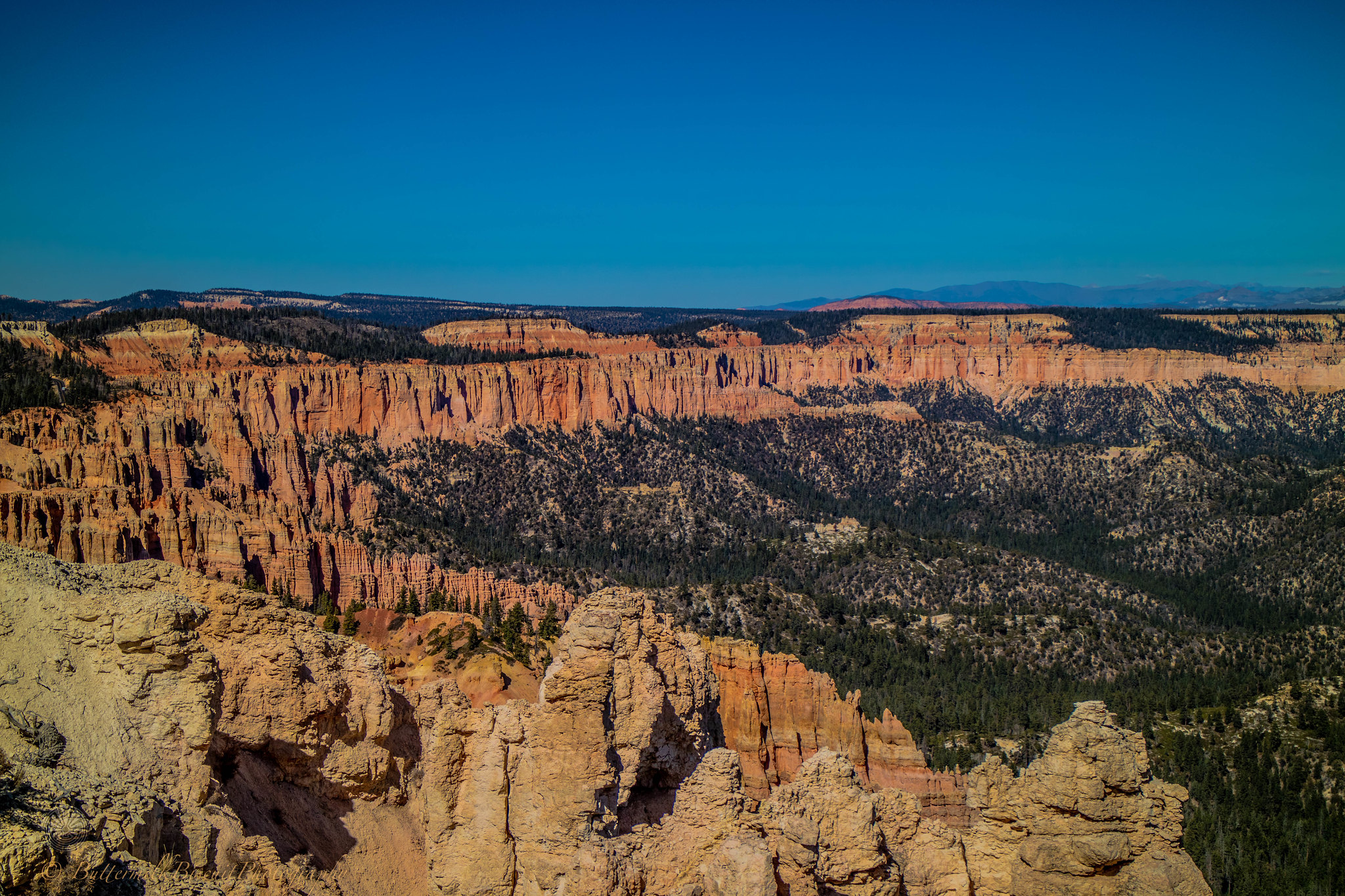
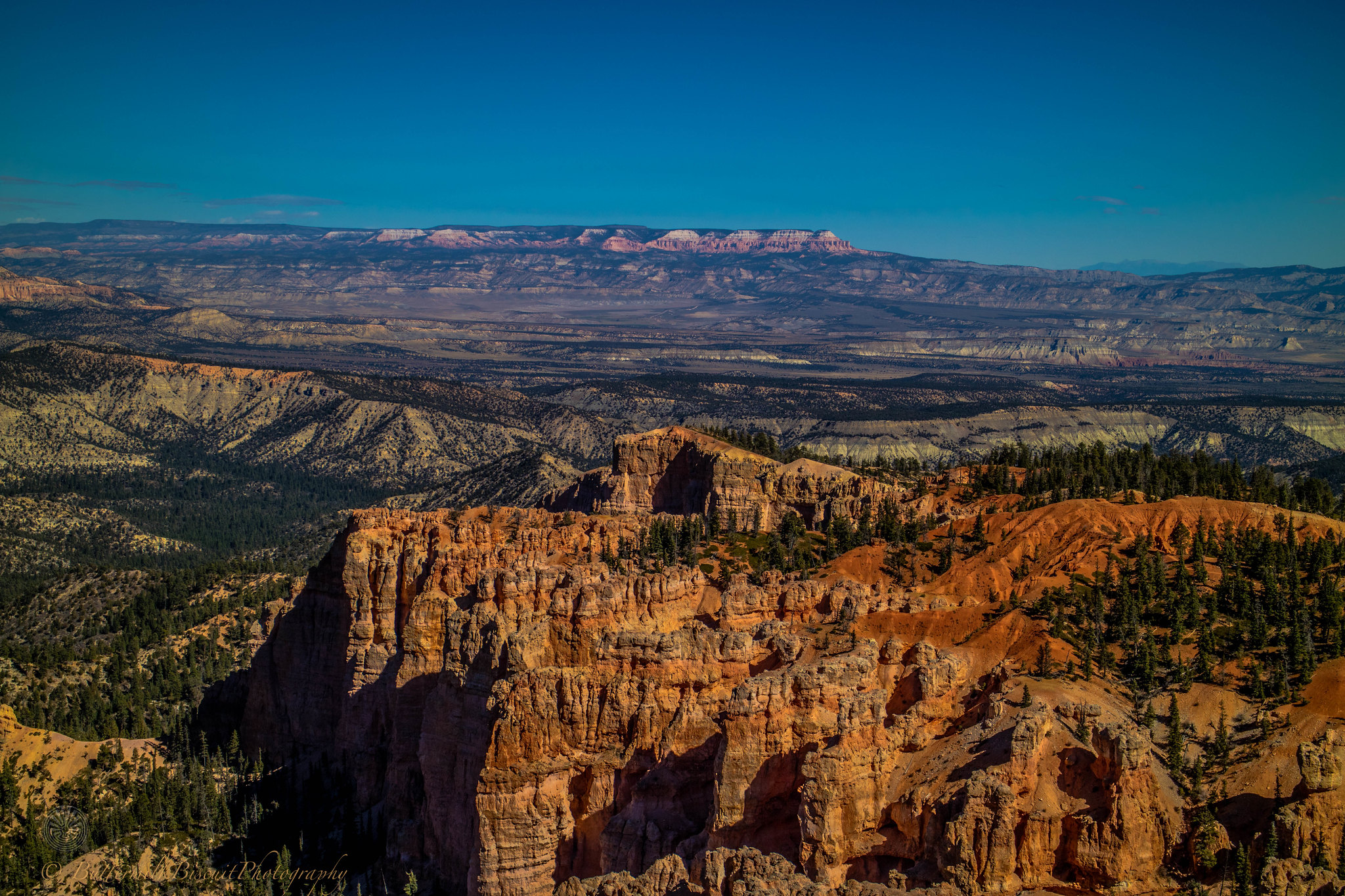
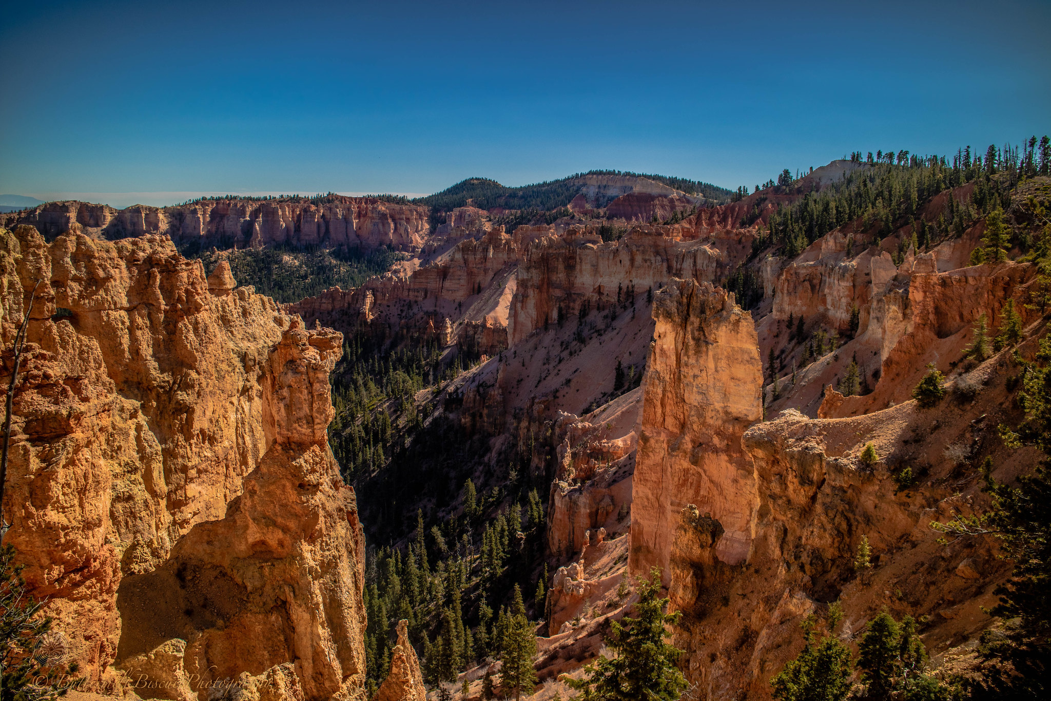
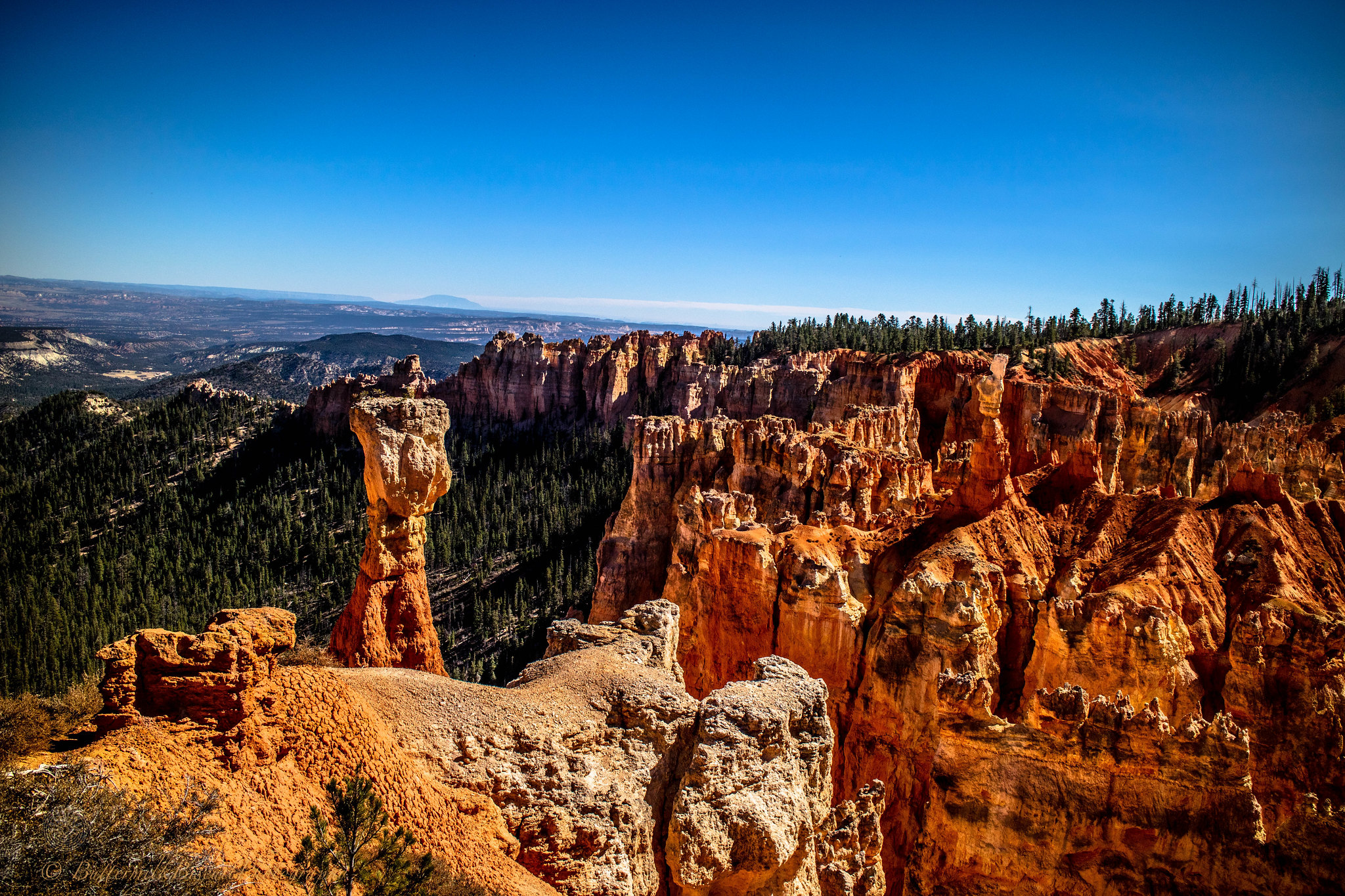
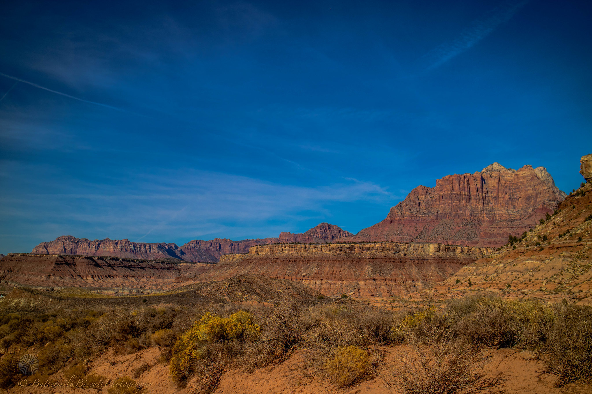
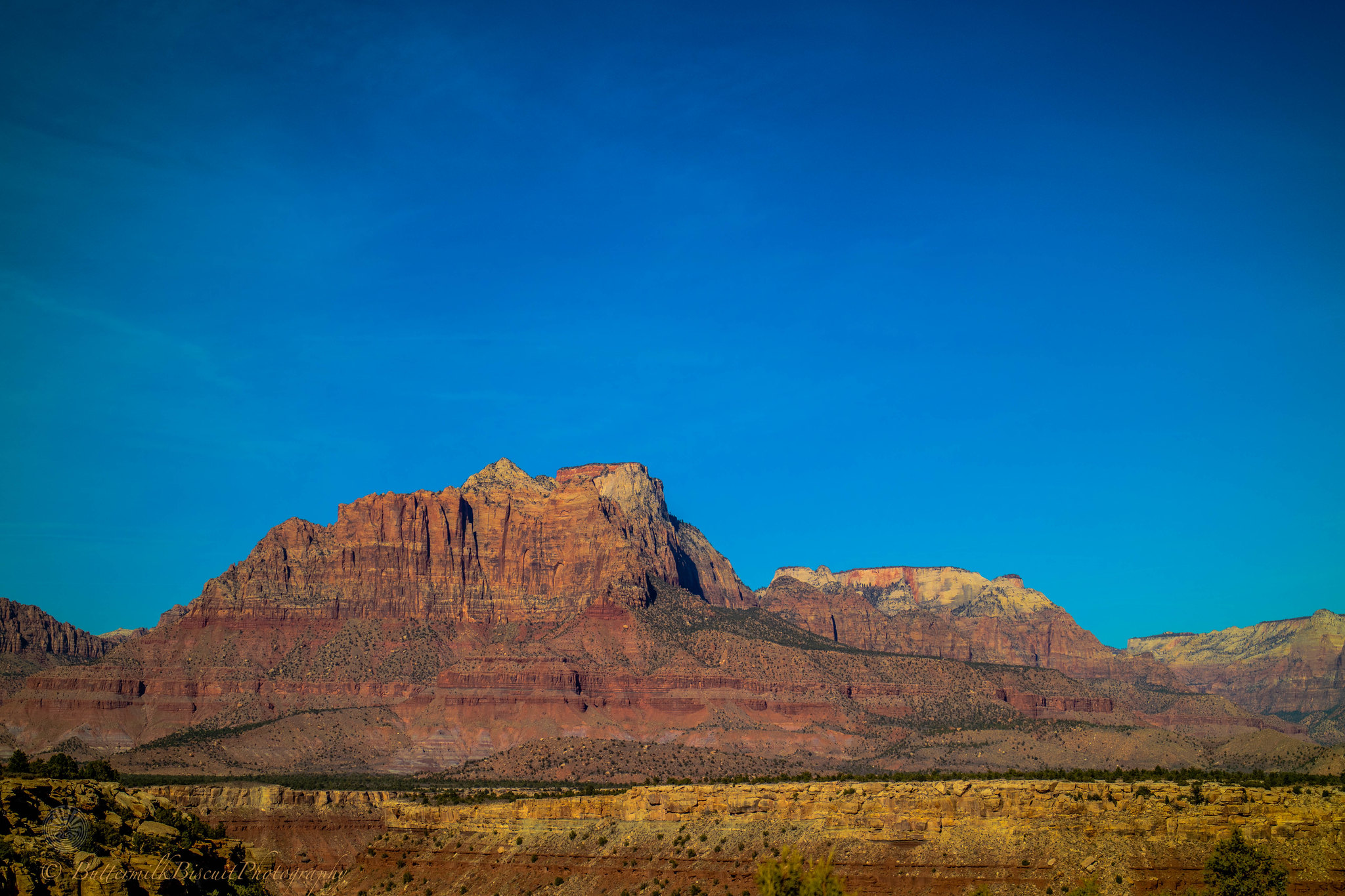
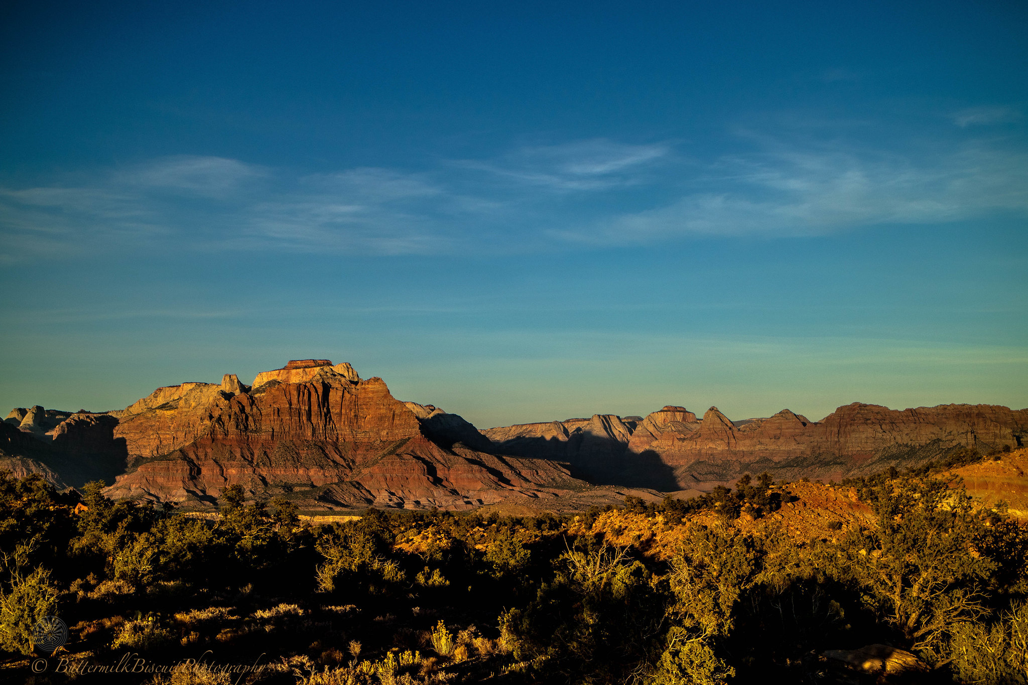
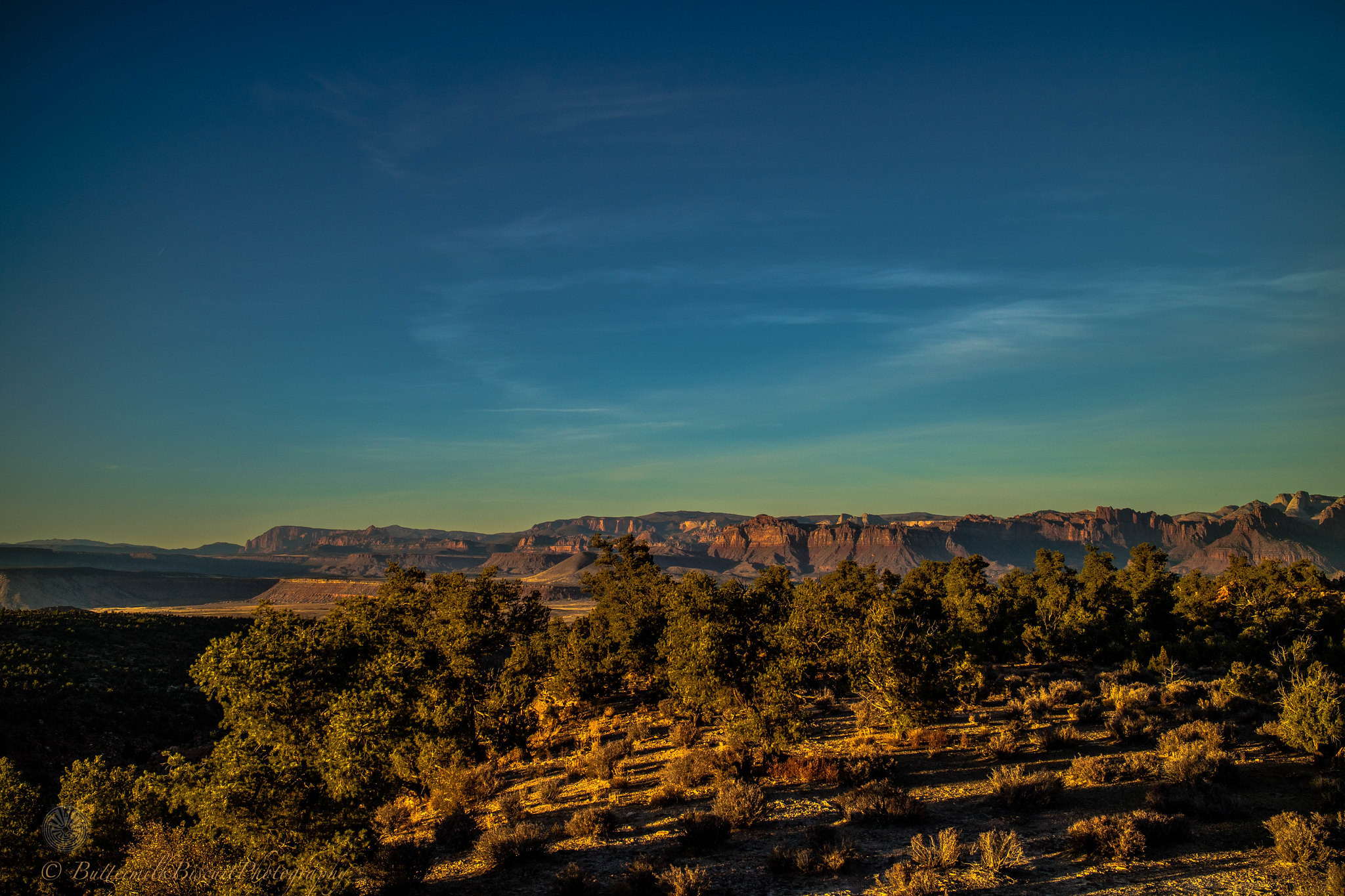
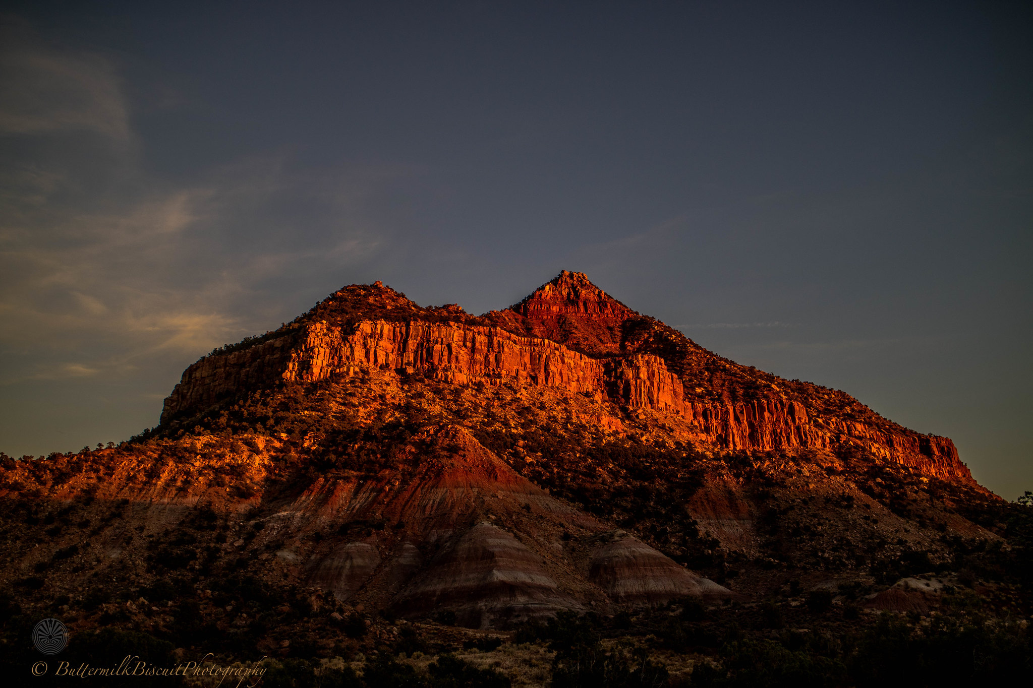
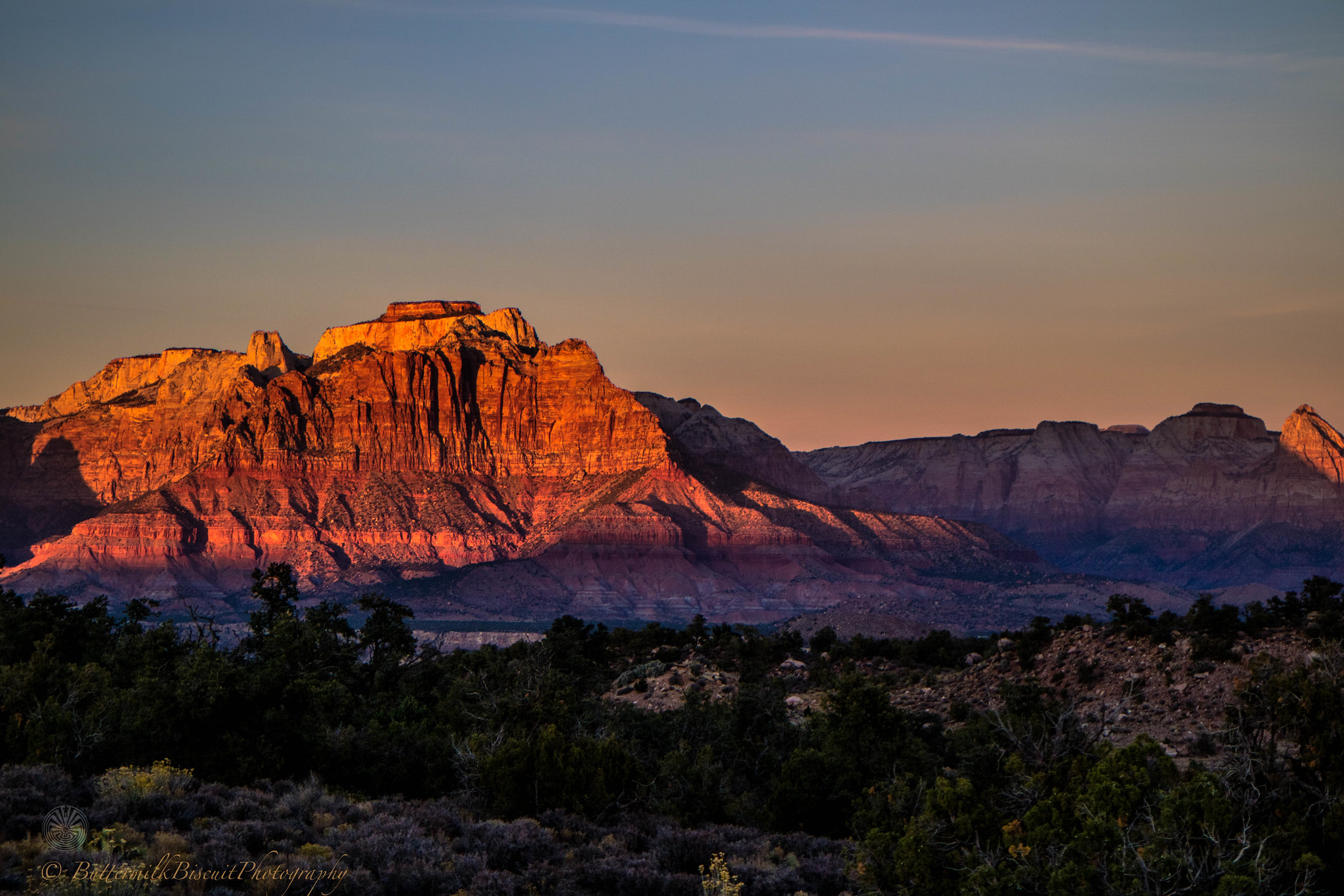
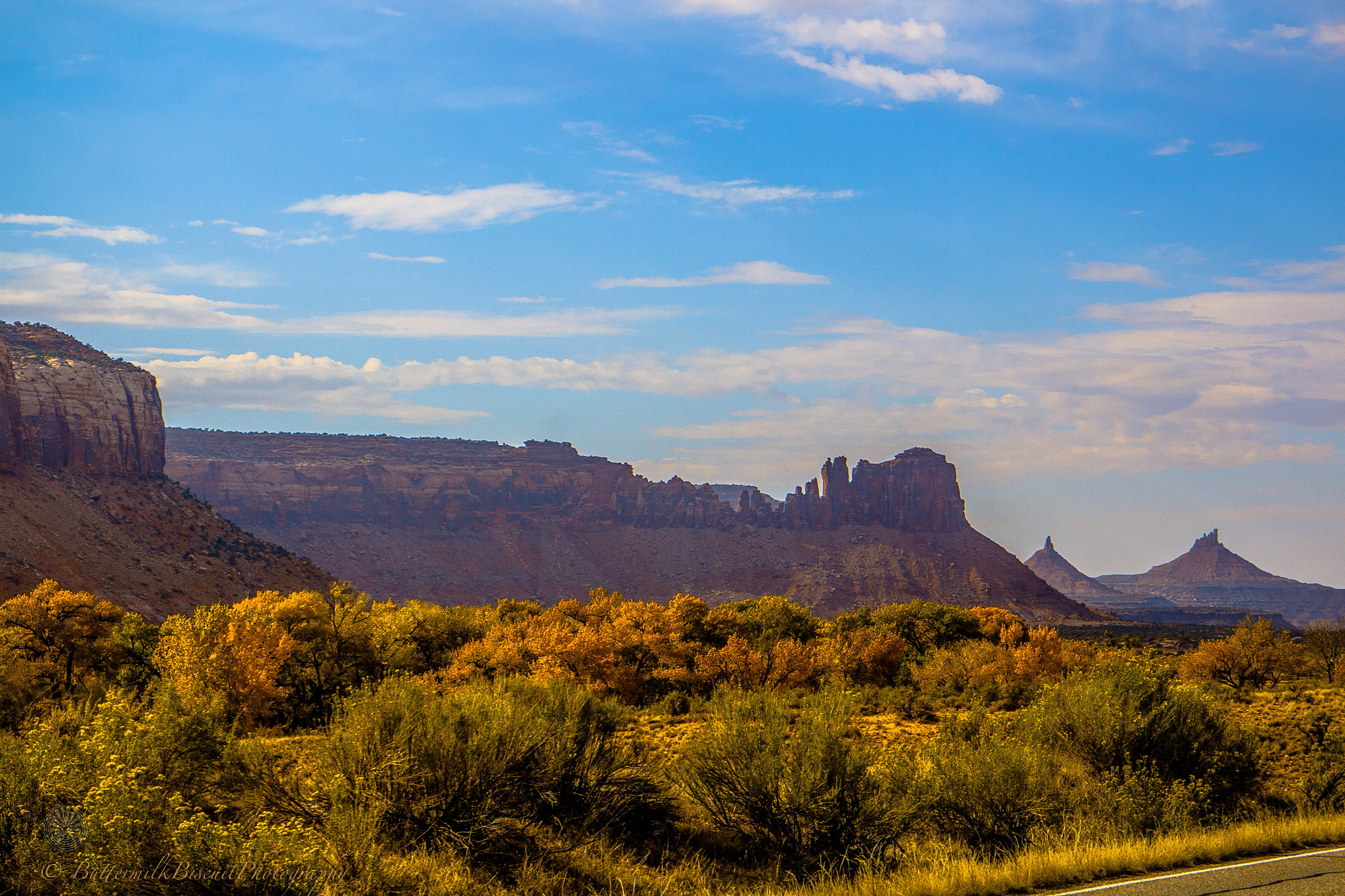
Pure isolation. From gorgeous sunsets, to massive vistas, unbelievable red-rock formations, native american ruins and long forgotten pioneer homesteads un-touched and un-trampled by civilization. Southern Utah is extremely unique and special and I hope it stays exactly the way it is.
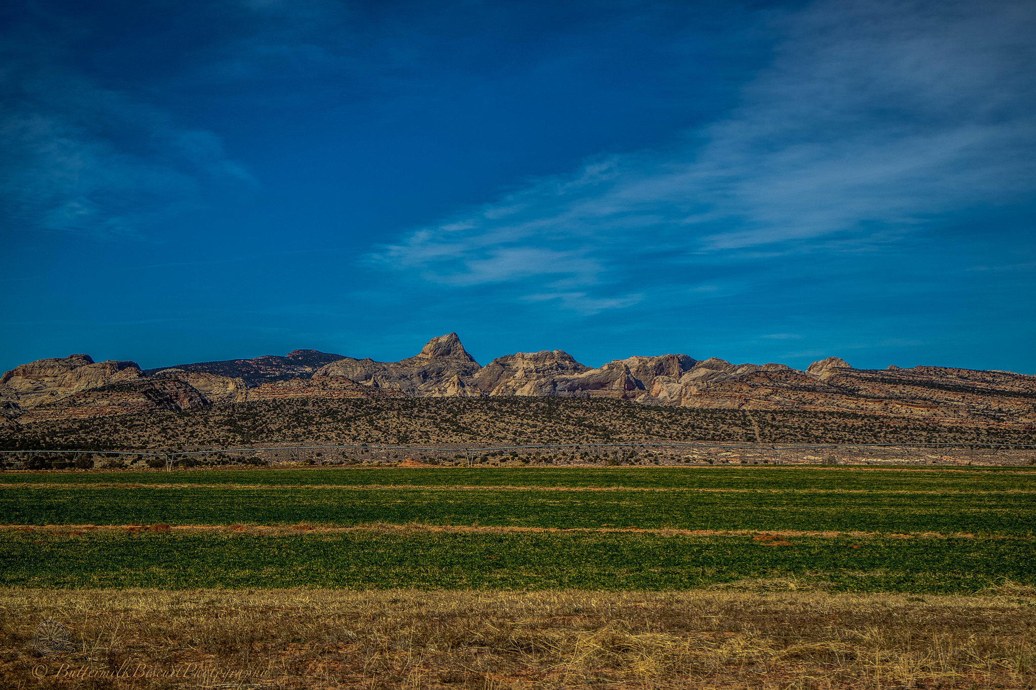
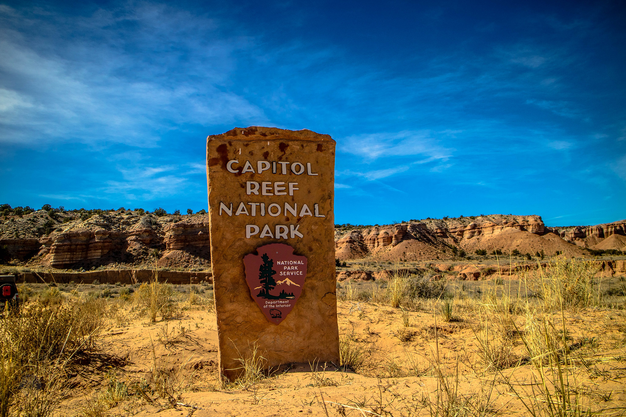
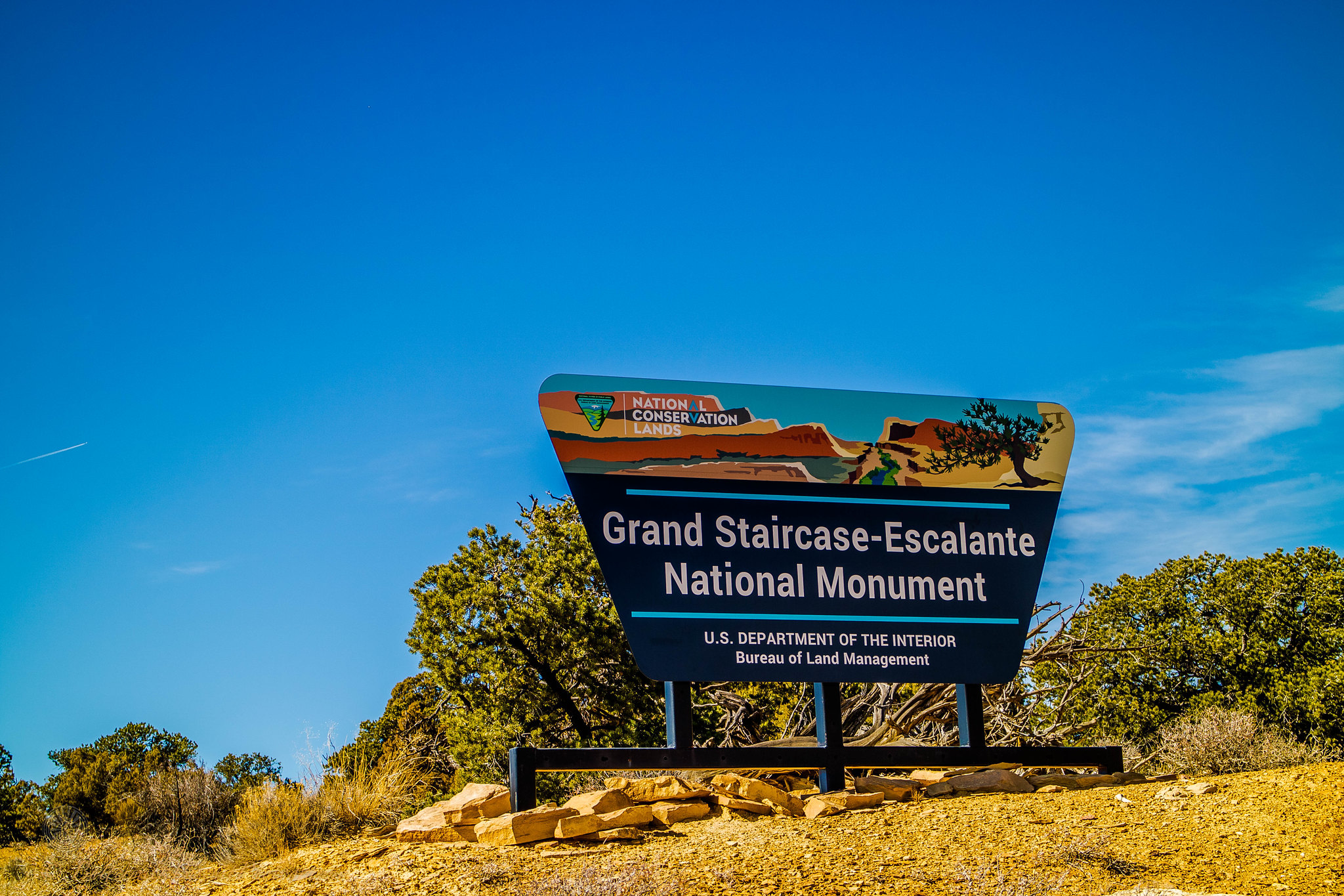
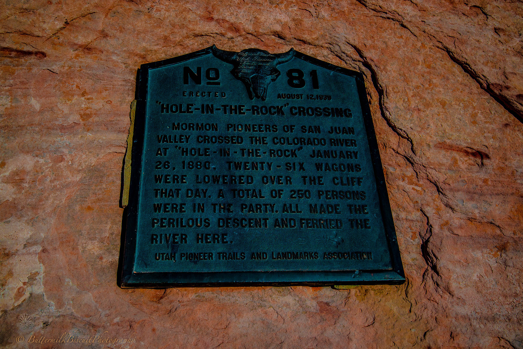
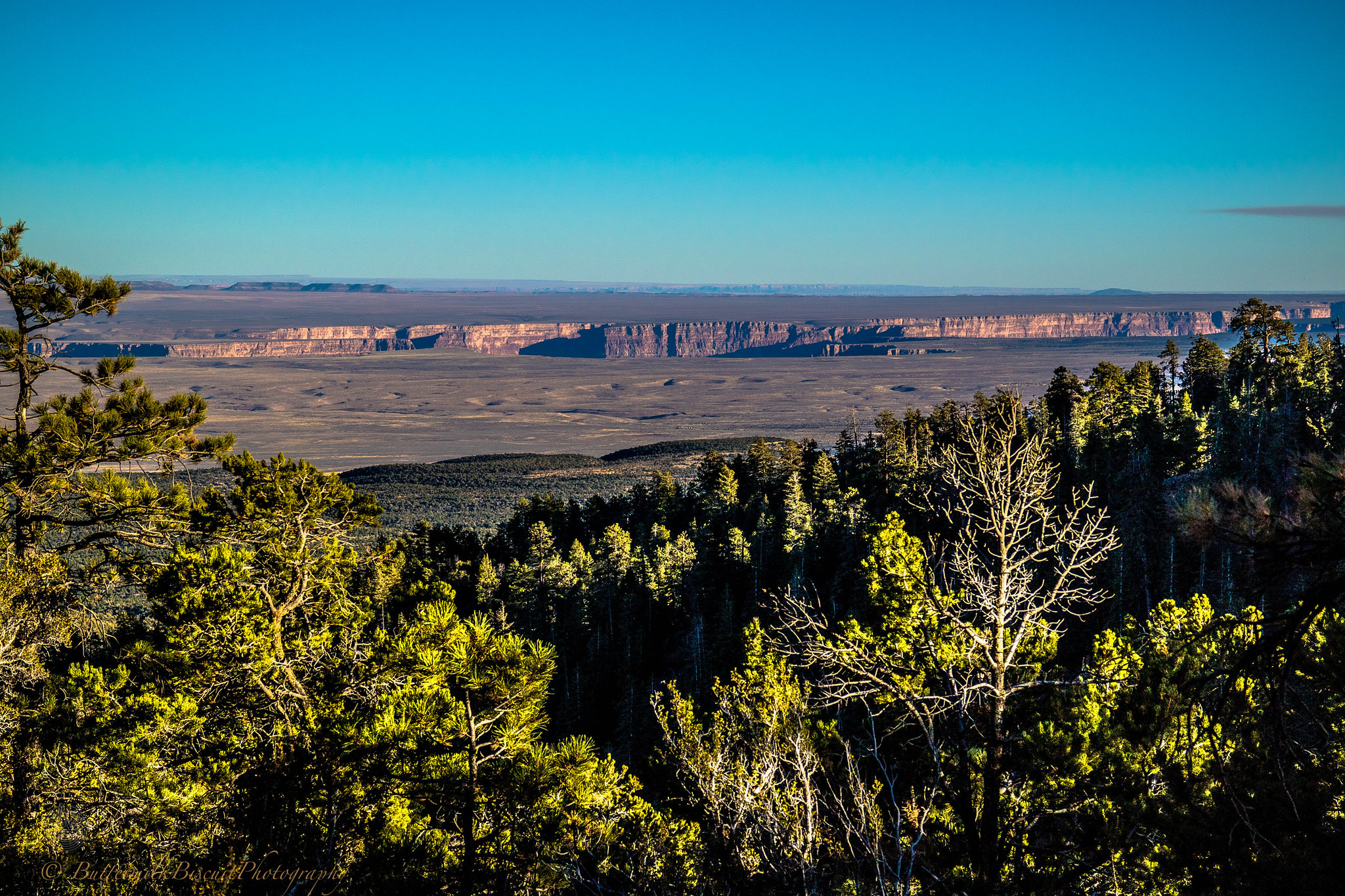
Public lands traveled & visited were Canyons of the Ancients Nation Monument-CO, Hovenweep NM-UT, Canyon Rims Rec Area-UT, Bears Ears NM (Indian Creek Scenic Byway/ Beef Basin)-UT, , Manti-La Sal NF-UT, Glen Canyon NRA-UT, Pink Cliffs/ Hatch Canyon-UT, Poison Springs Canyon-UT, Henry Mountains-UT, Capitol Reef NP-UT, Grand Staircase Escalante NM (Burr Trail Scenic Backway/ Smokey Mtn Road/ Cottonwood Canyon Rd/ Skutumpah-Johnson Canyon Rd)-UT, Dixie NF-UT, Hole-in-the-Rock Rd/ GSENM/GCNRA-UT, Bryce Canyon NP, Coral Pink Sand Dunes SP-UT, Vermillion Cliffs NM-UT/AZ, Zion NP-UT, Kaibab NF-AZ and the North Rim of Grand Canyon NP.
I thought about doing a trip report. But honestly, I’m not creative enough to make it sound interesting. It really was an ordinary A-to-B trip. Nothing went wrong. I didn’t run into someone else that had their **** go wrong. On top of that social media is just ruining the backcountry and outdoor sites in general, furthering me to not be too detailed.
So I’m not going to list specific spots of where the exact pictures have been taken. I’ll try to include a bit of info in some of the pictures.
Enjoy the picture dump.
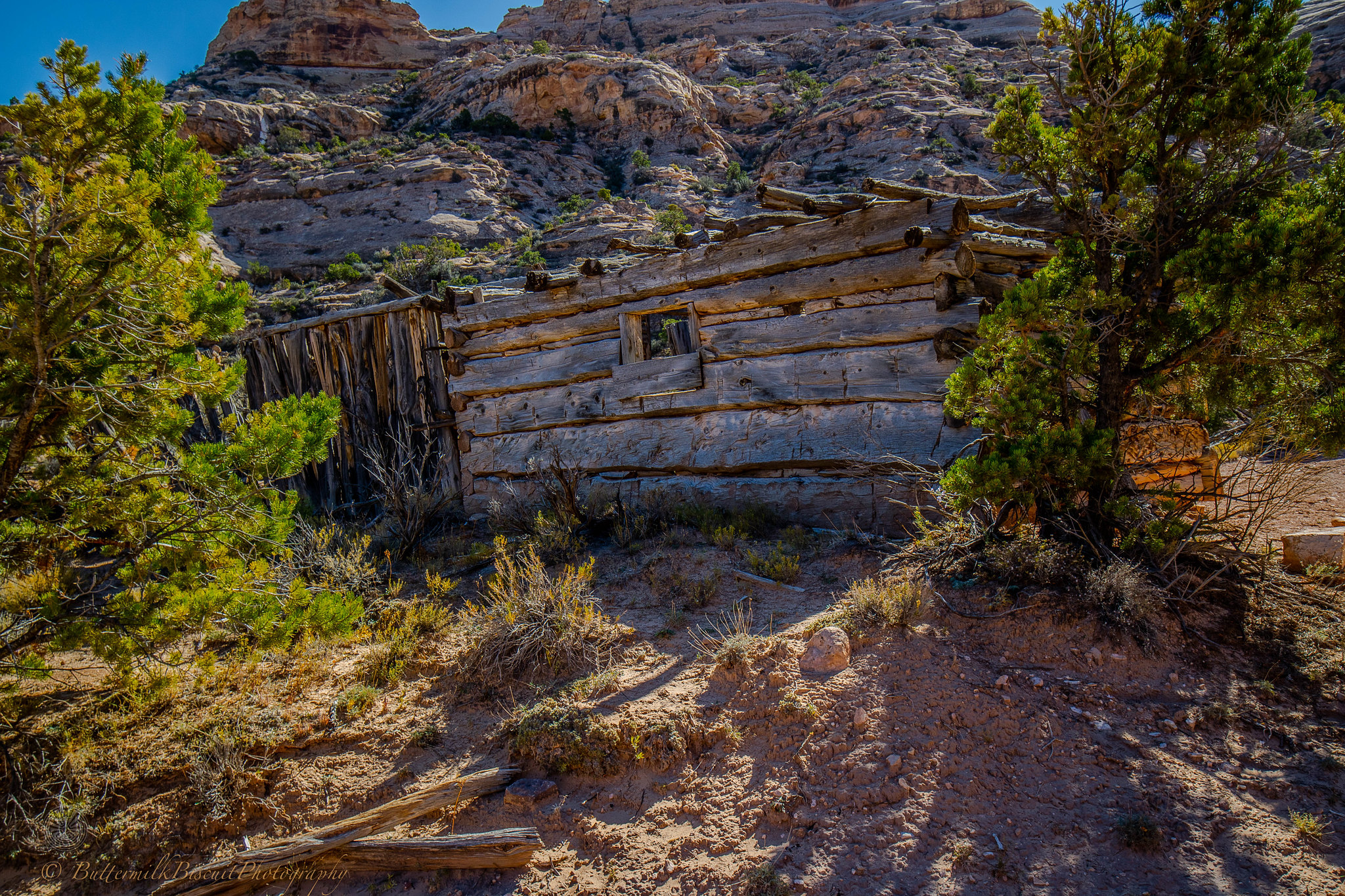
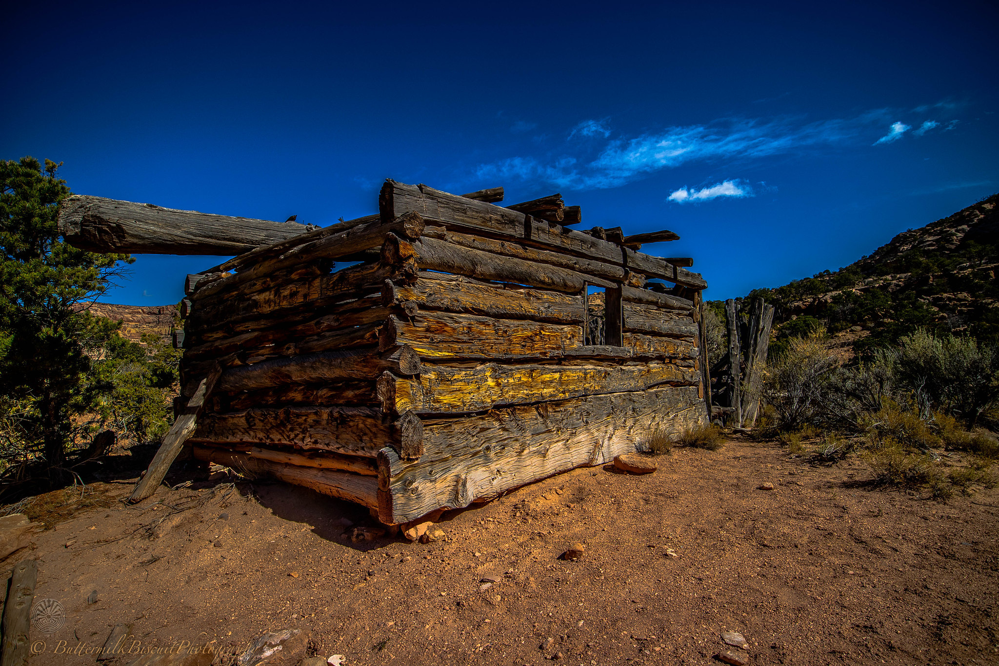
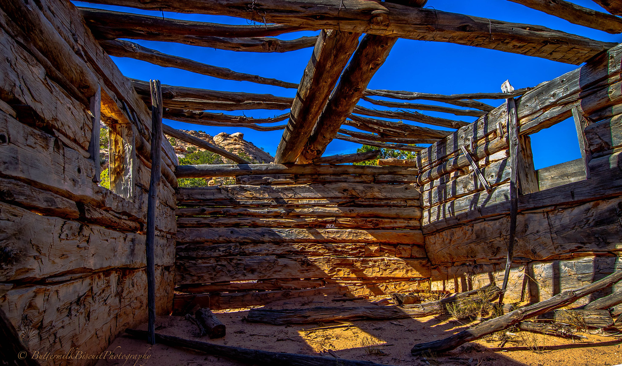
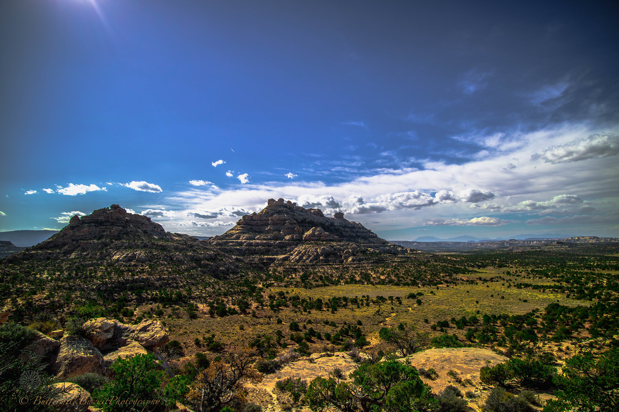
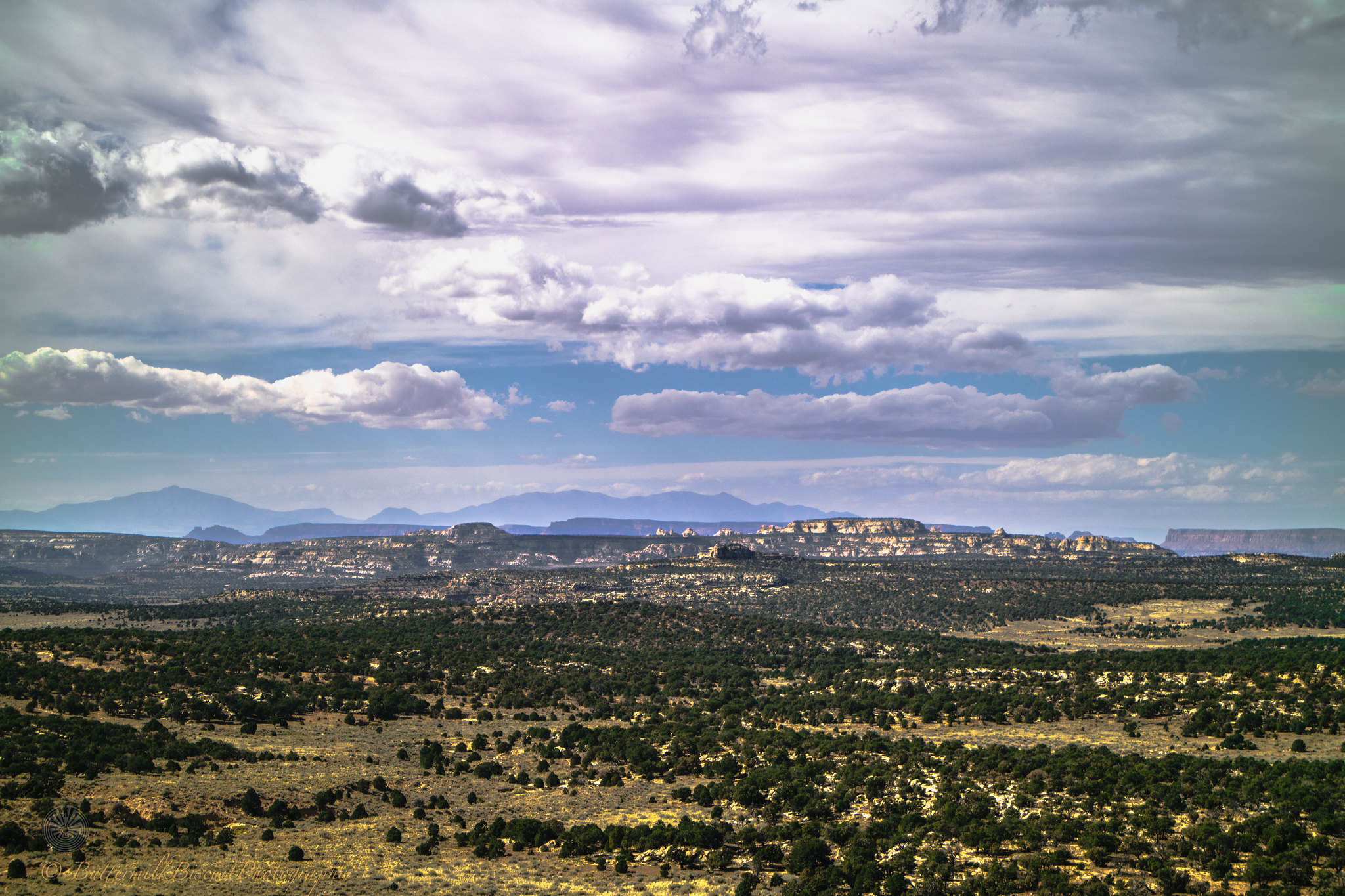
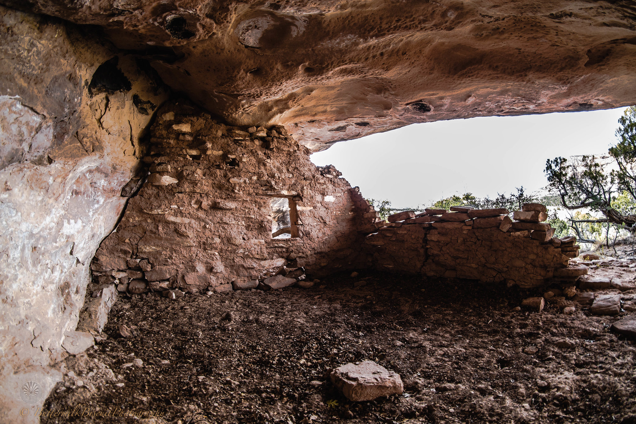
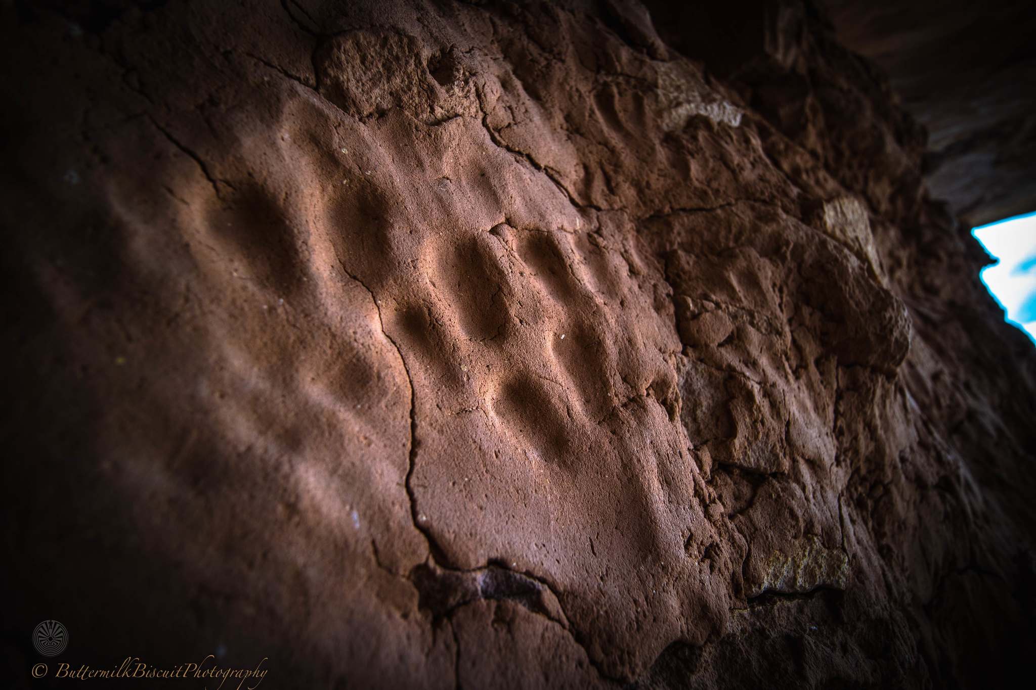
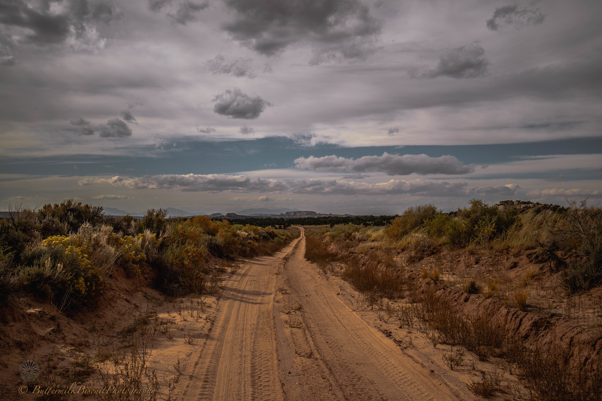
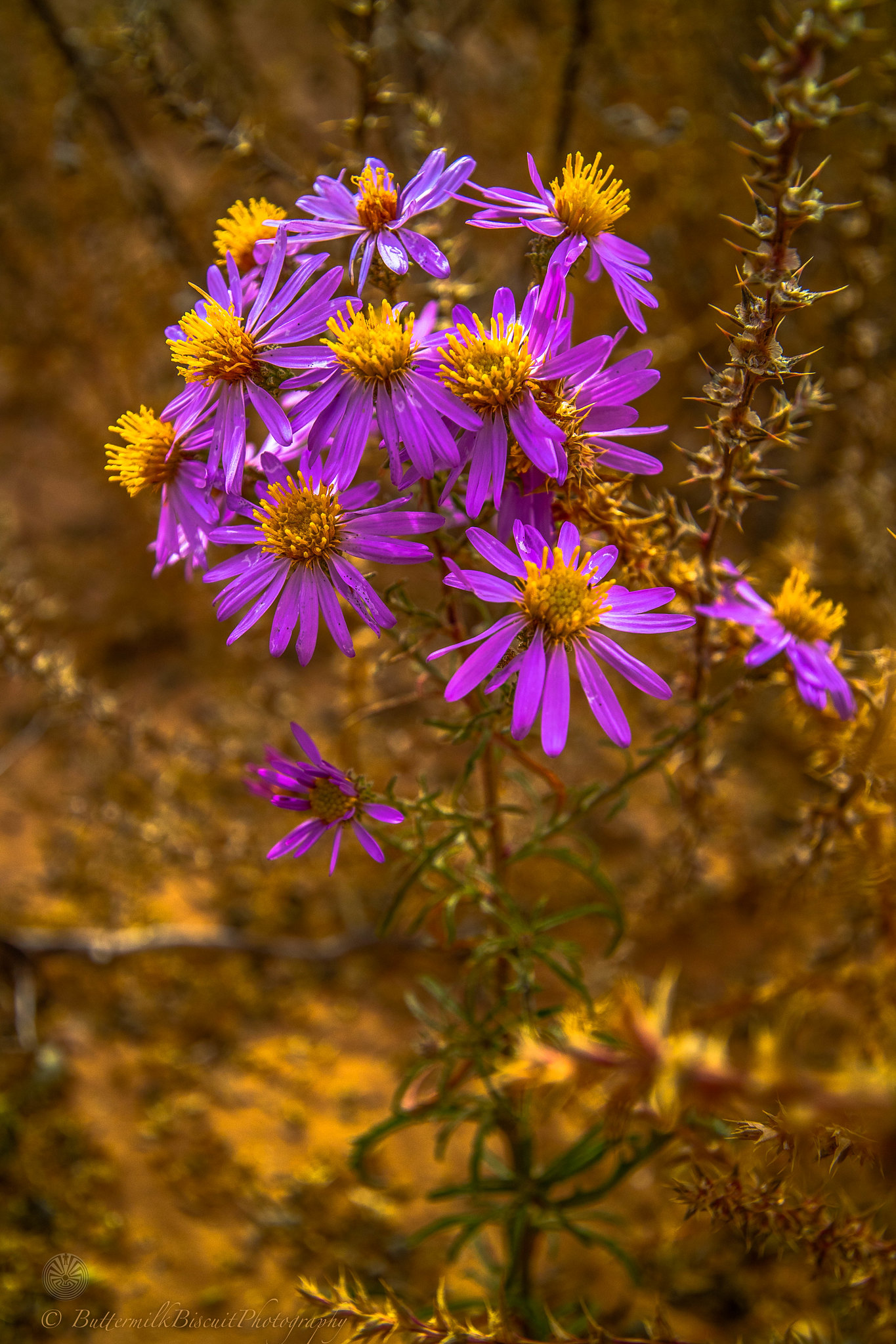
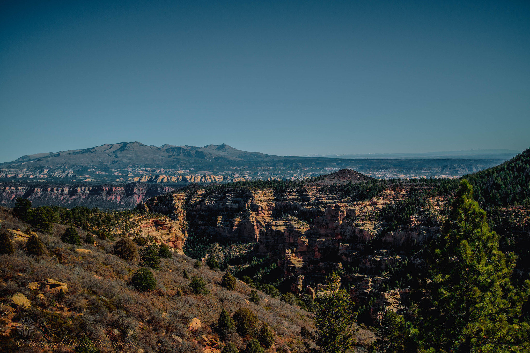
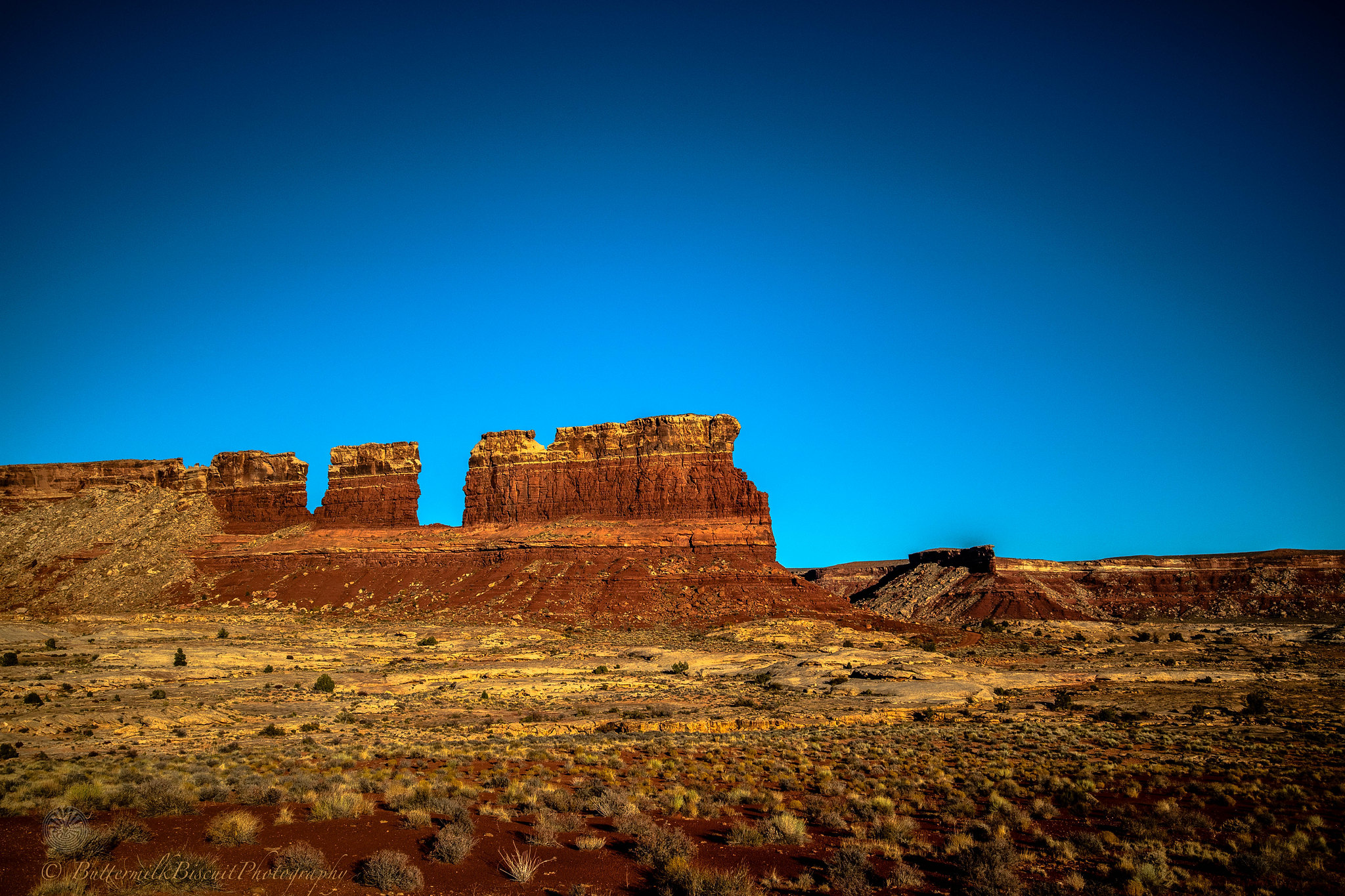
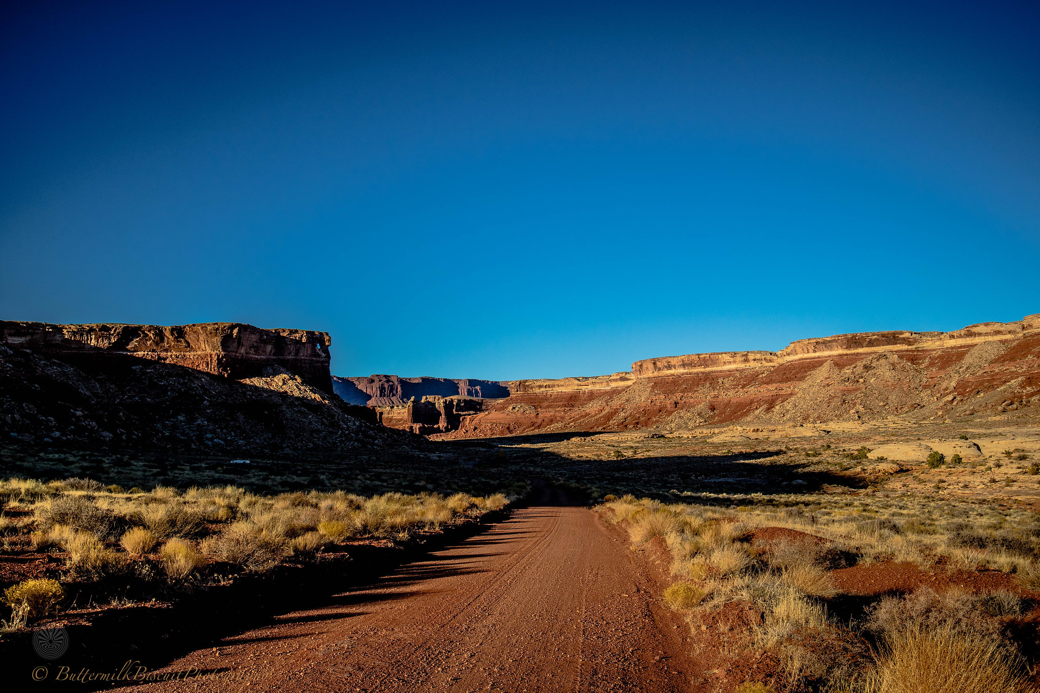
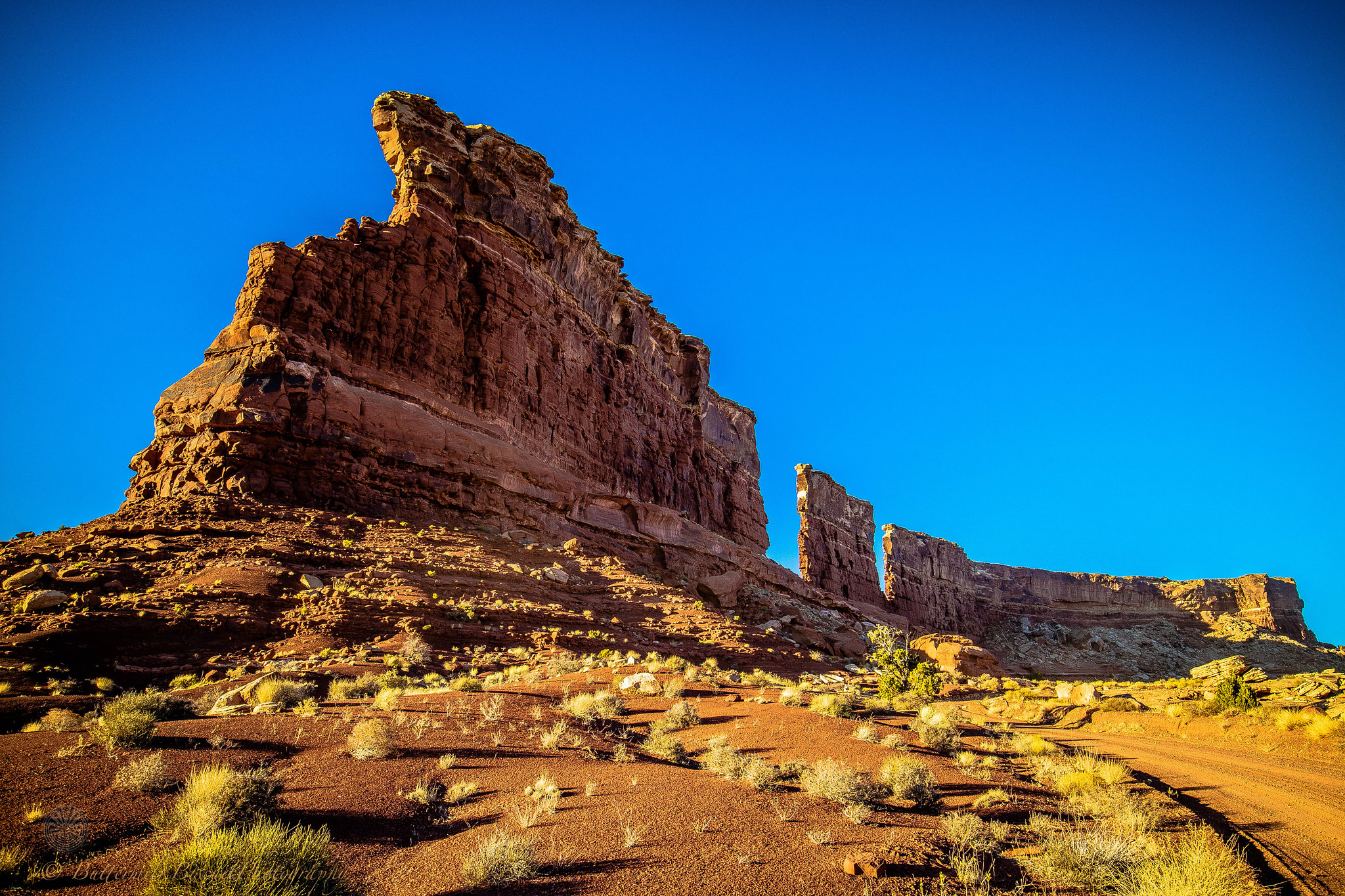
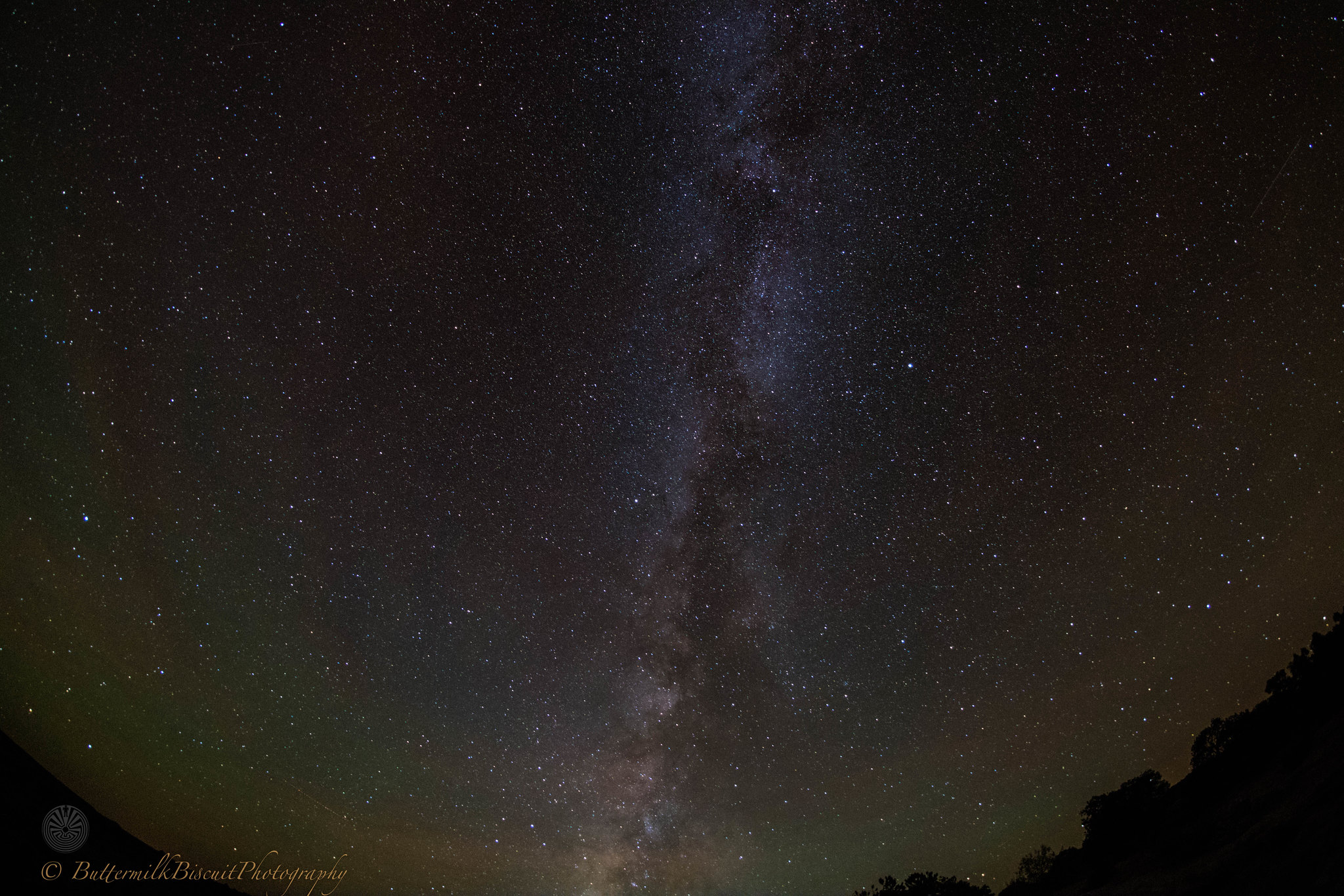
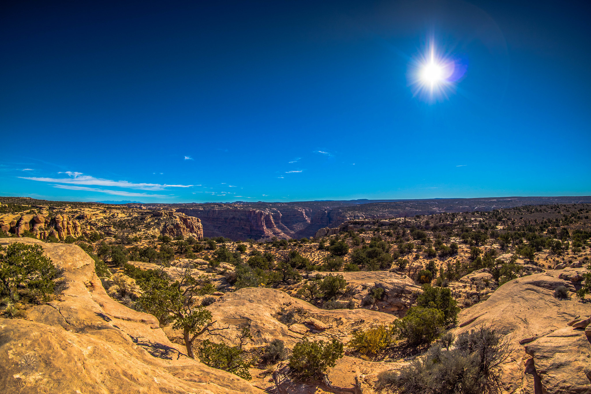
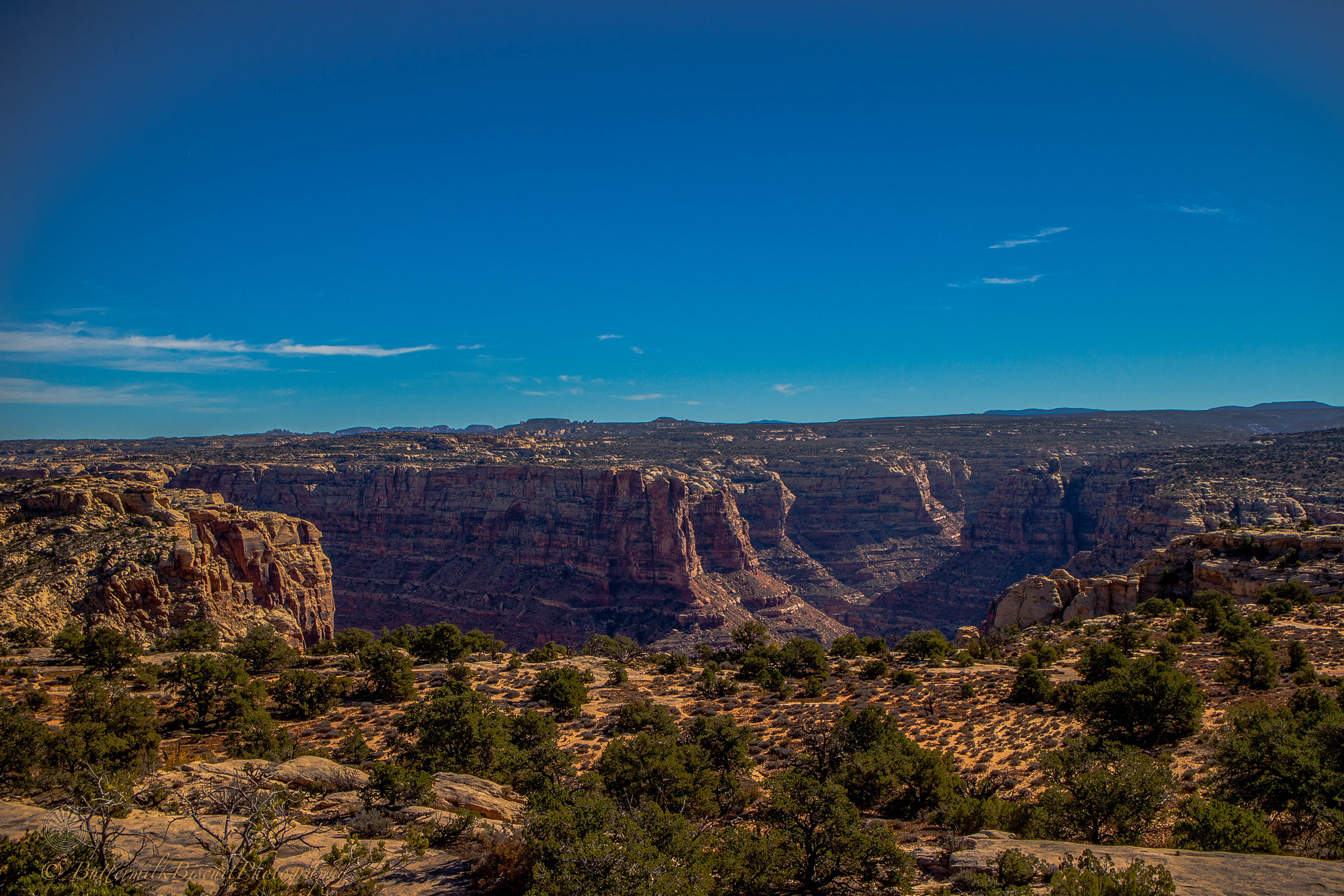
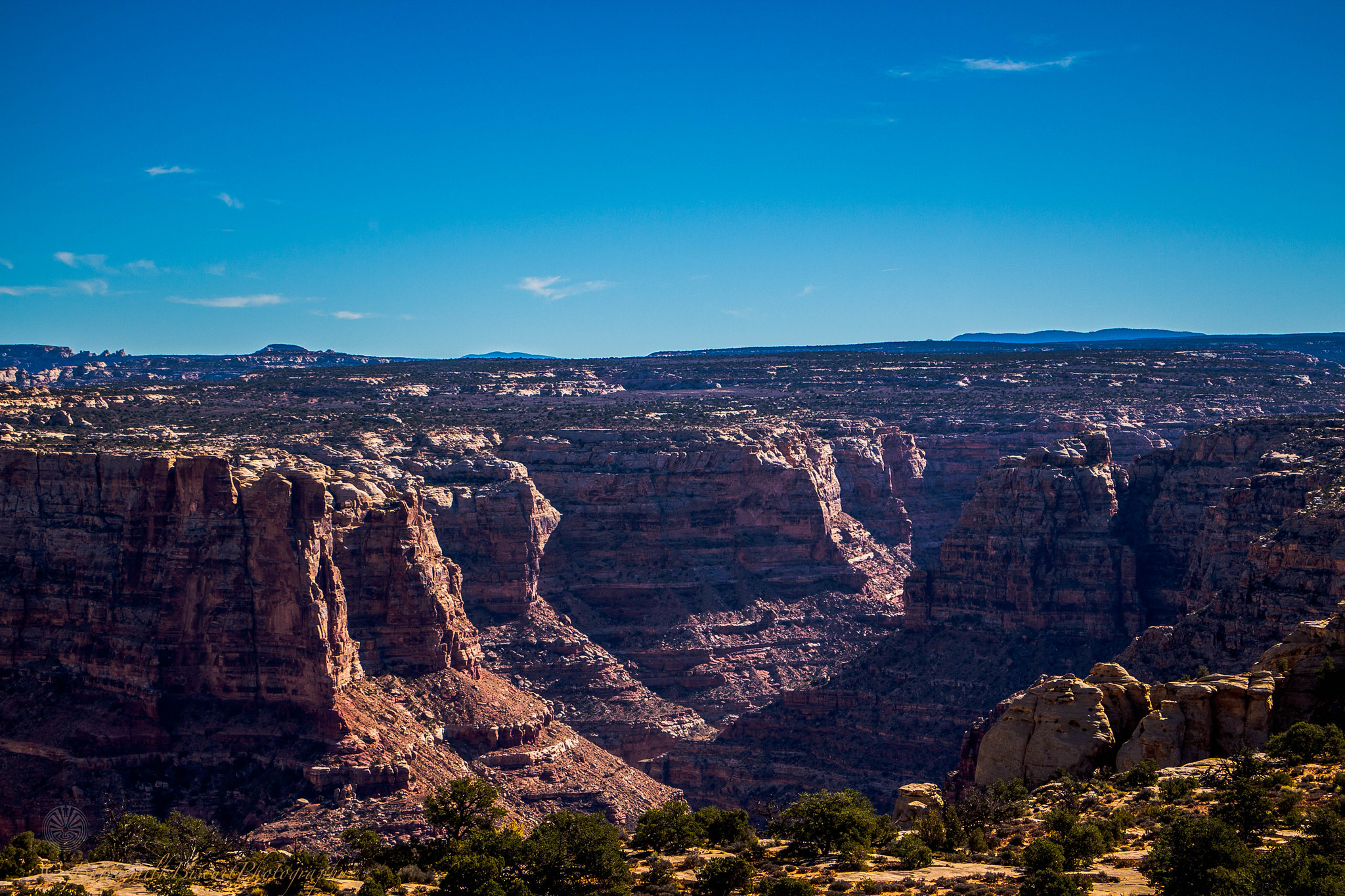
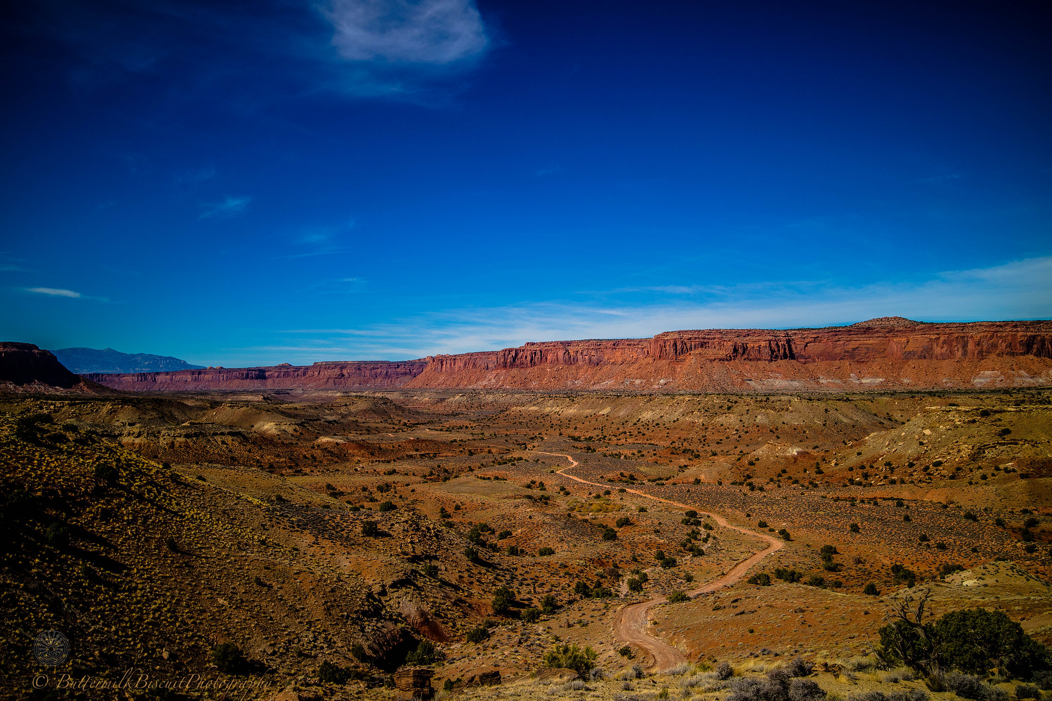
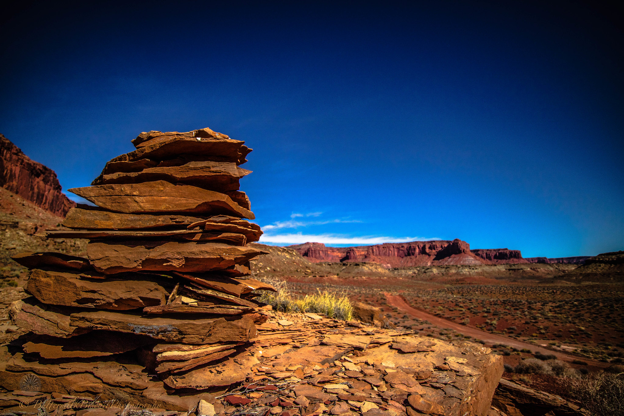
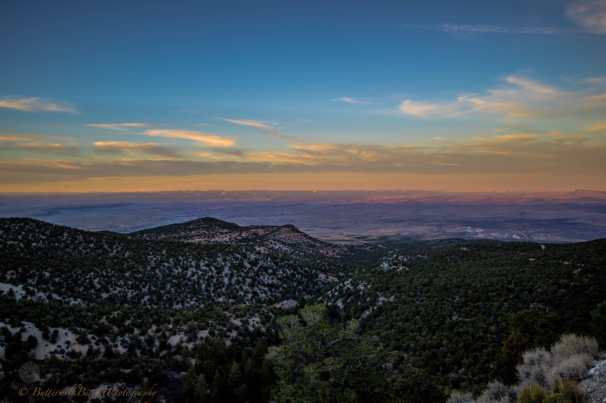
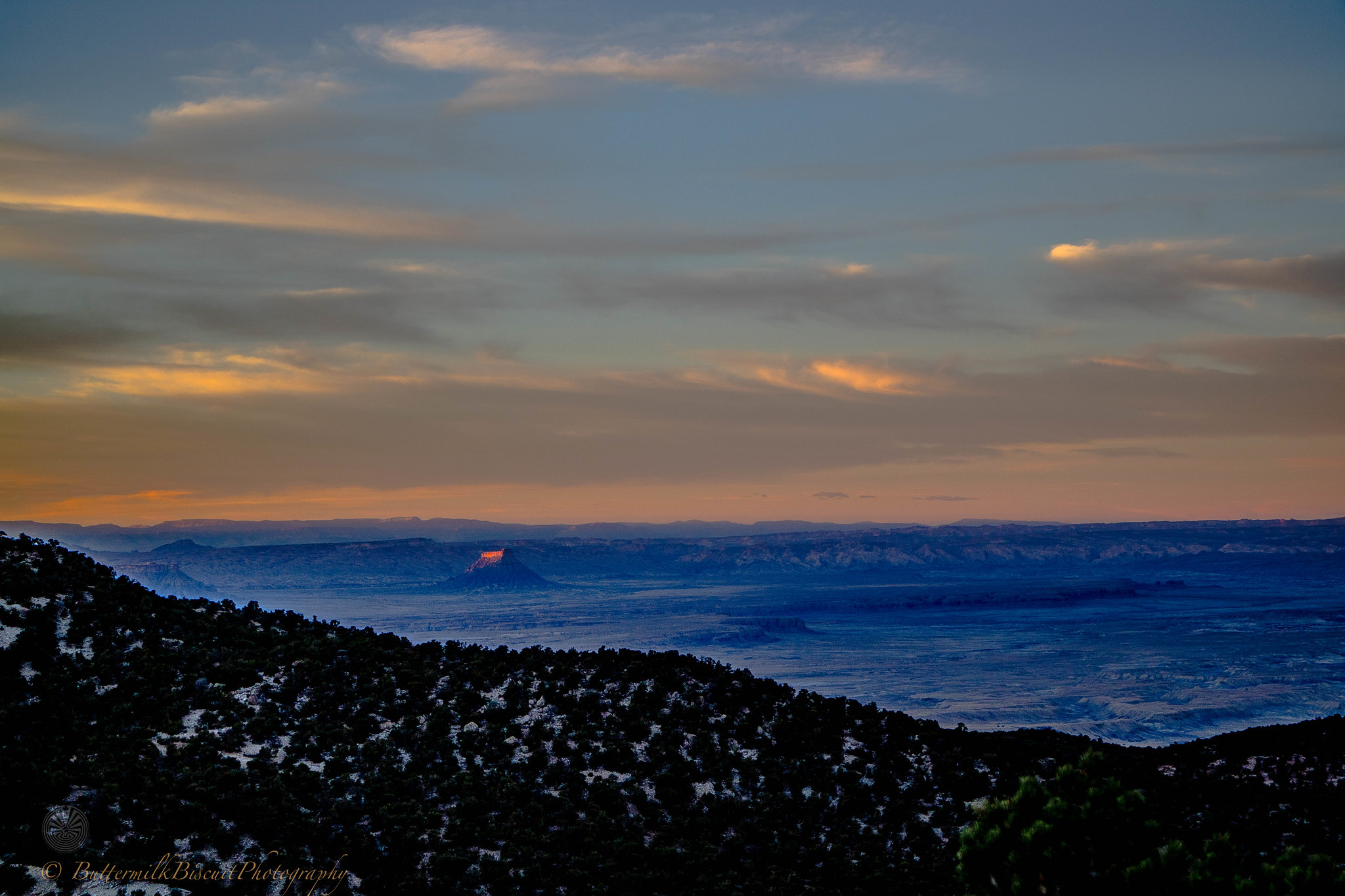
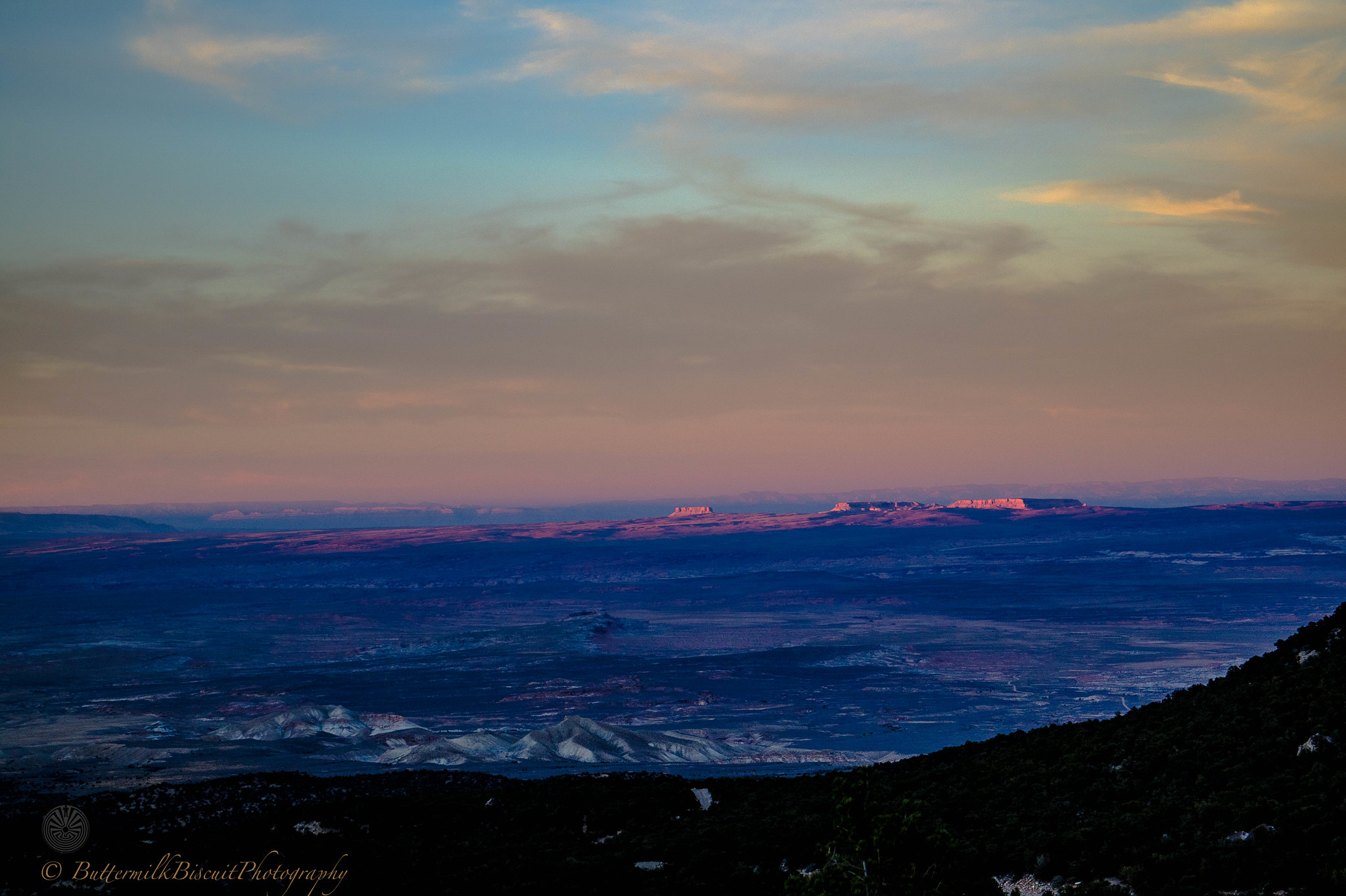
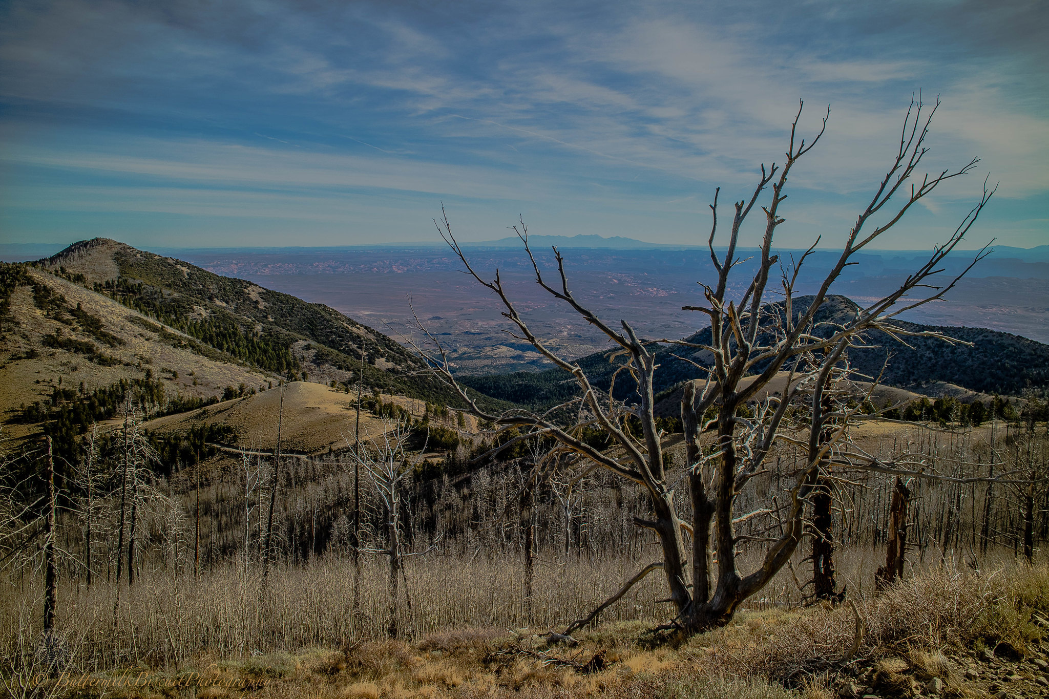
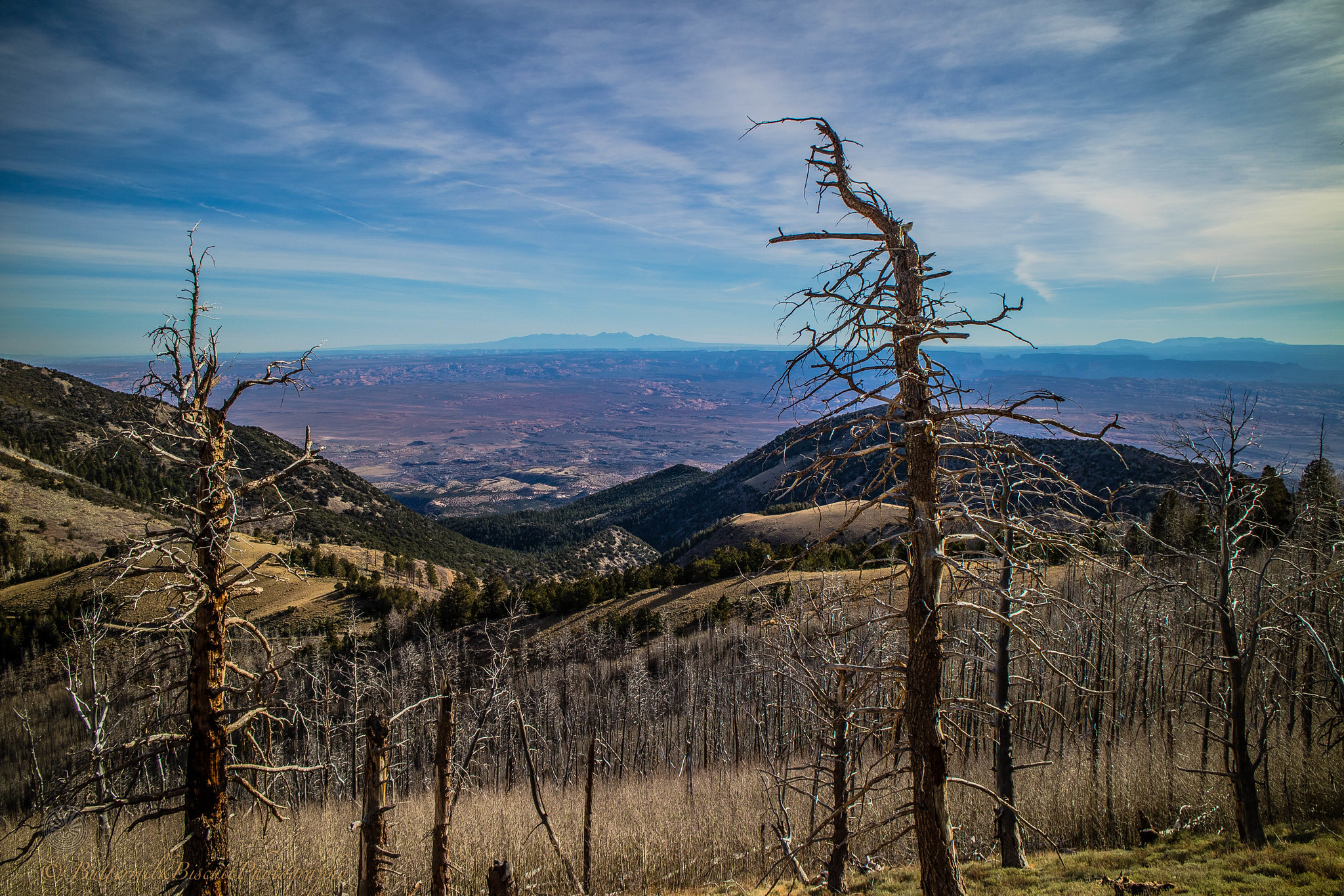
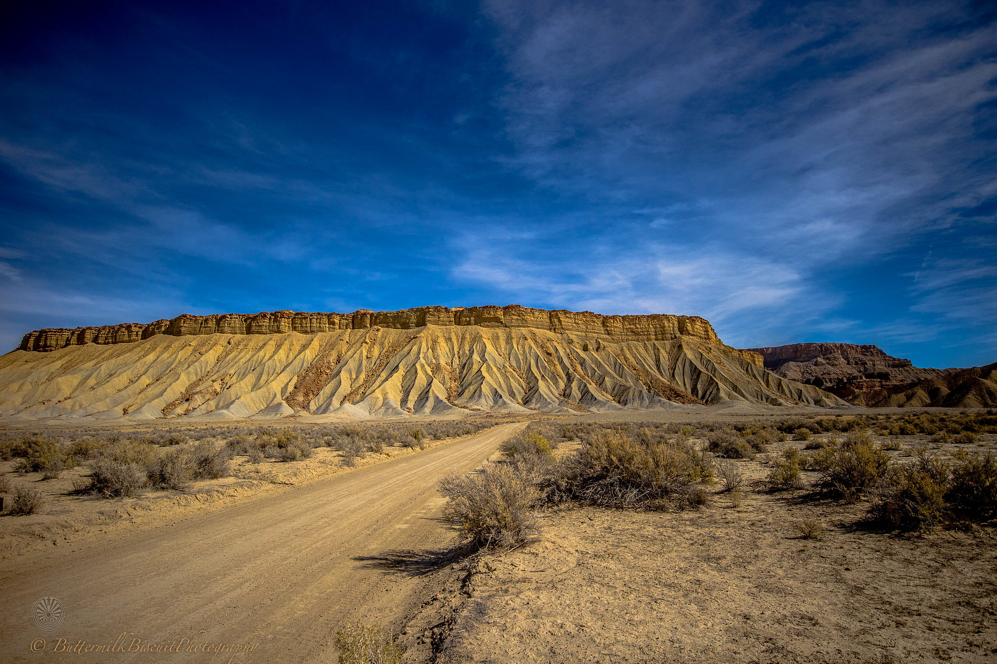
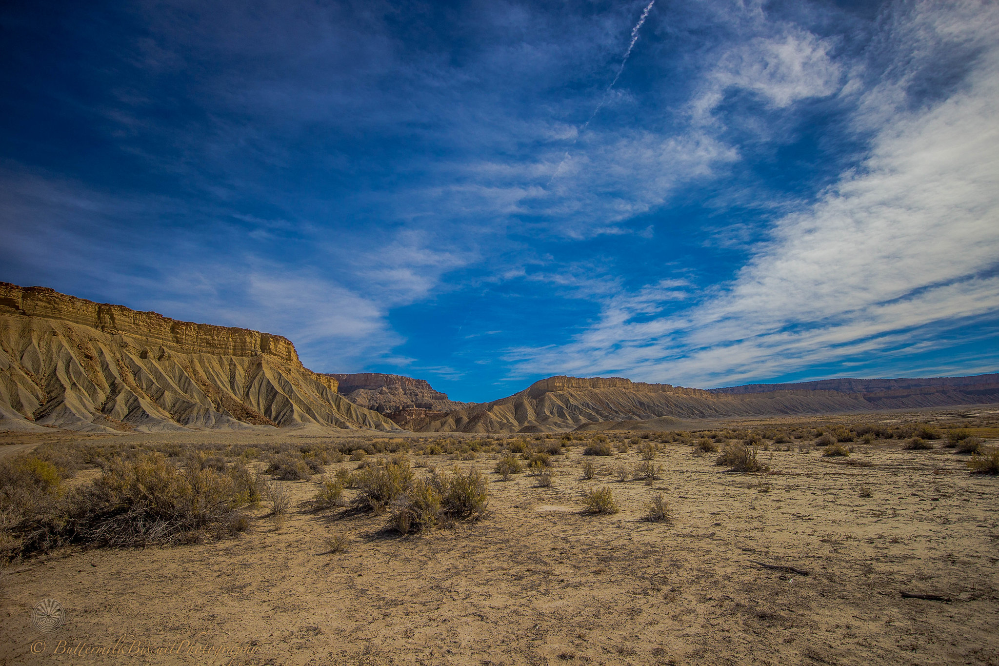
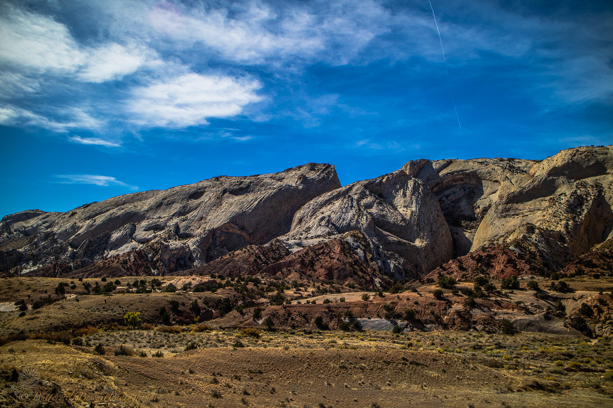
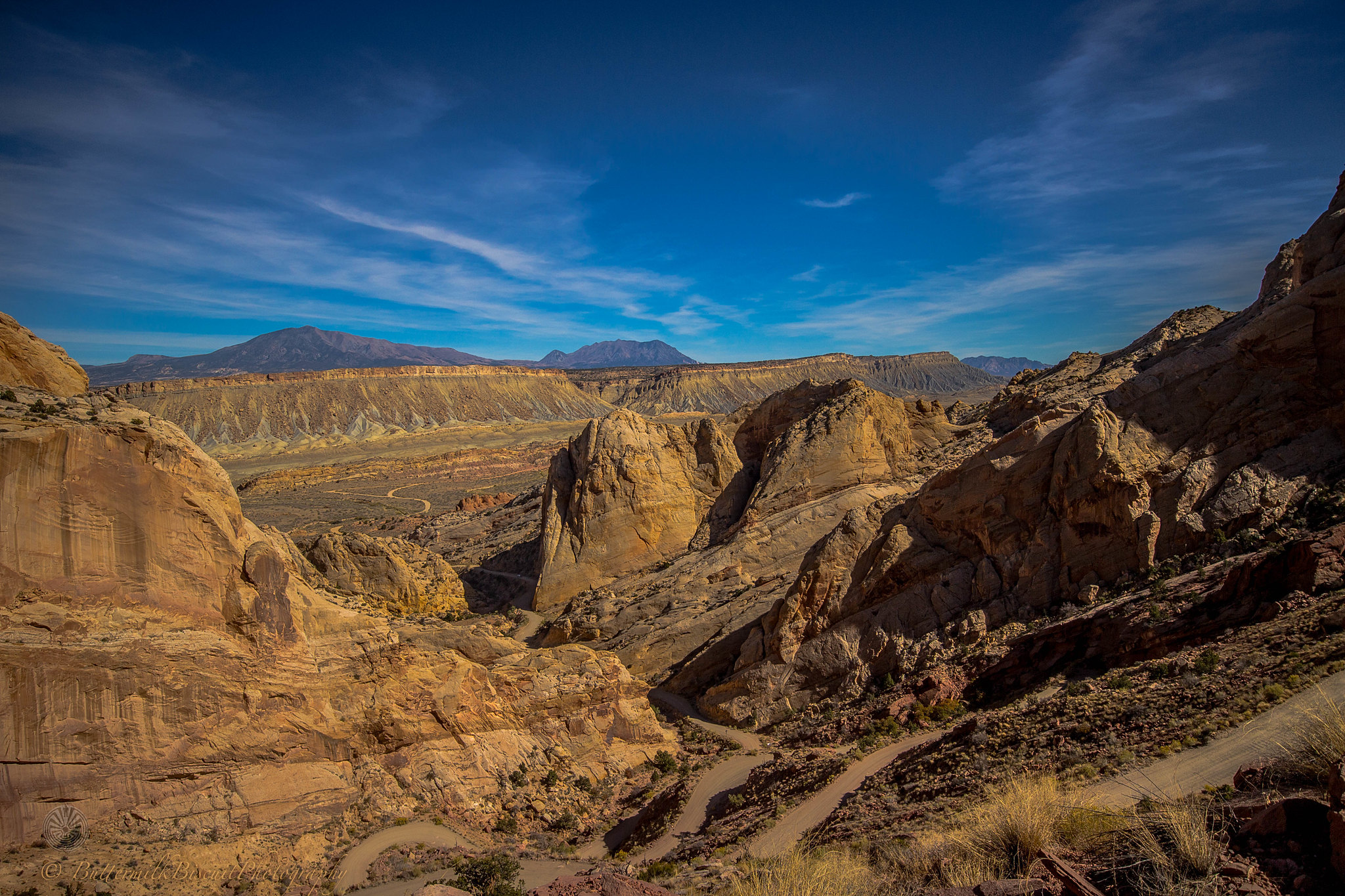
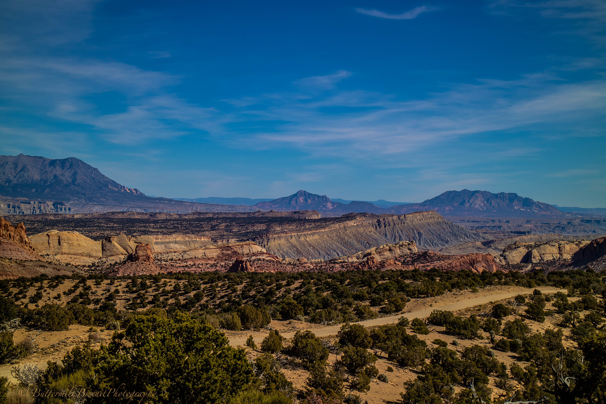
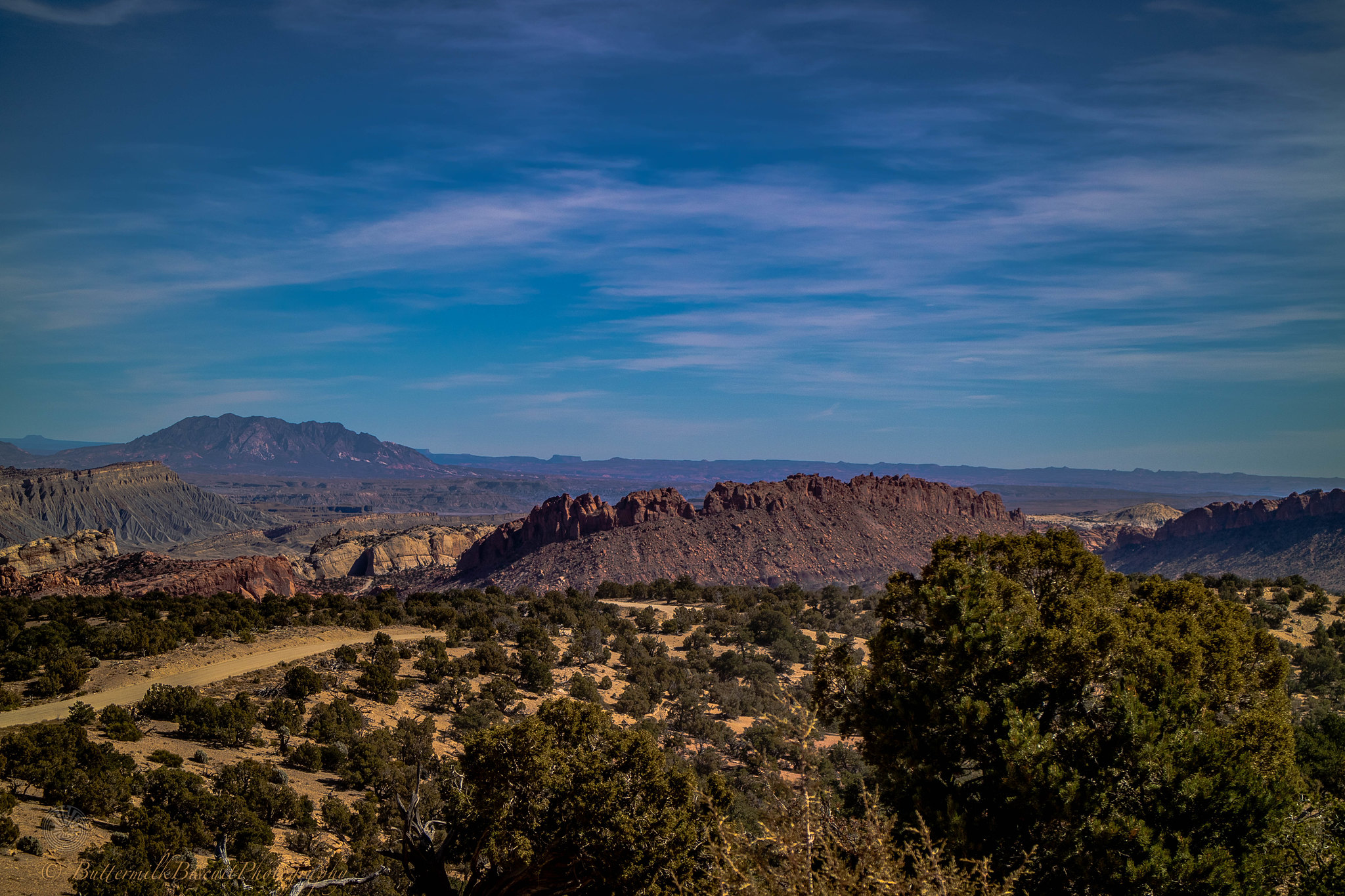
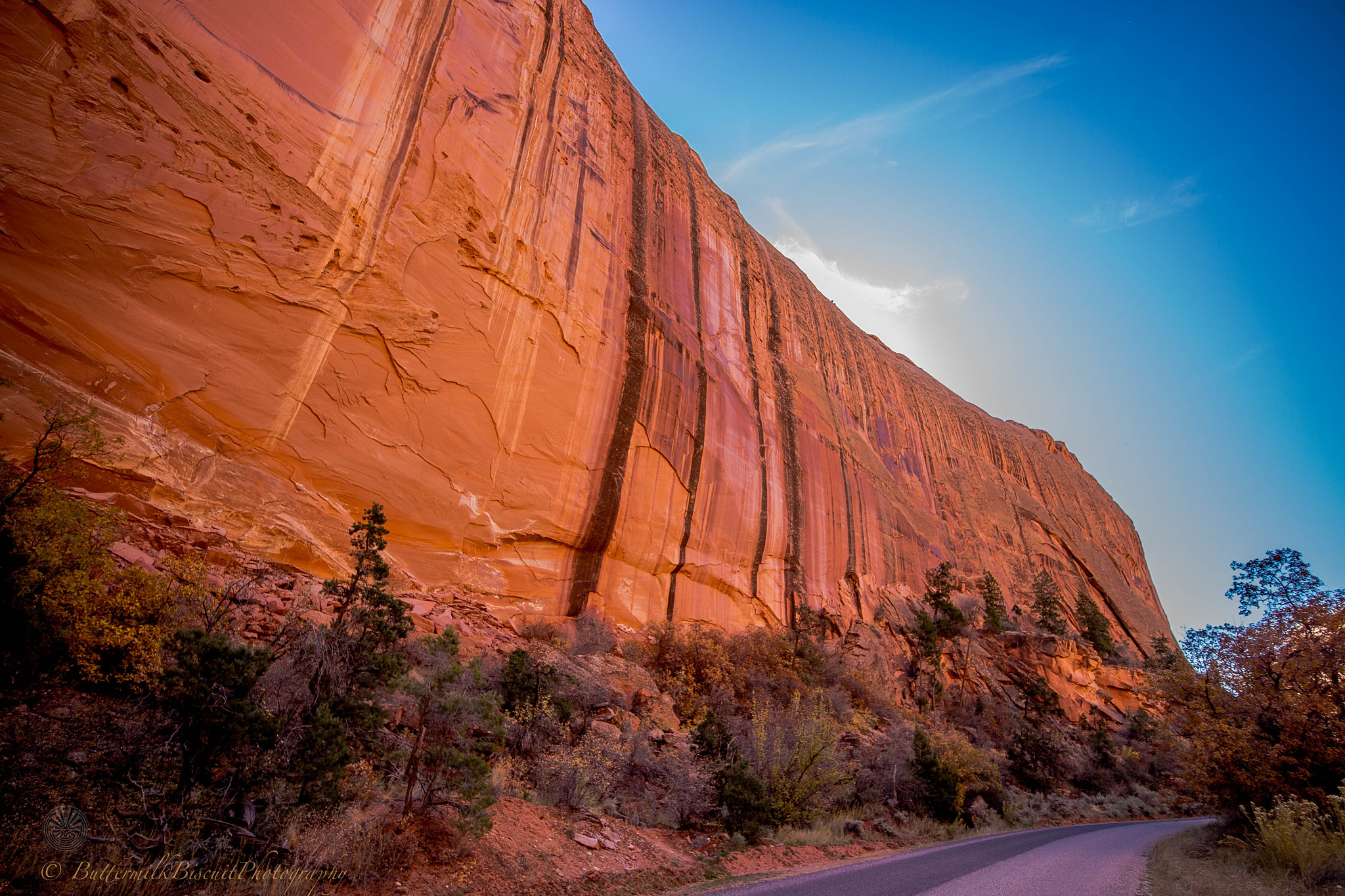
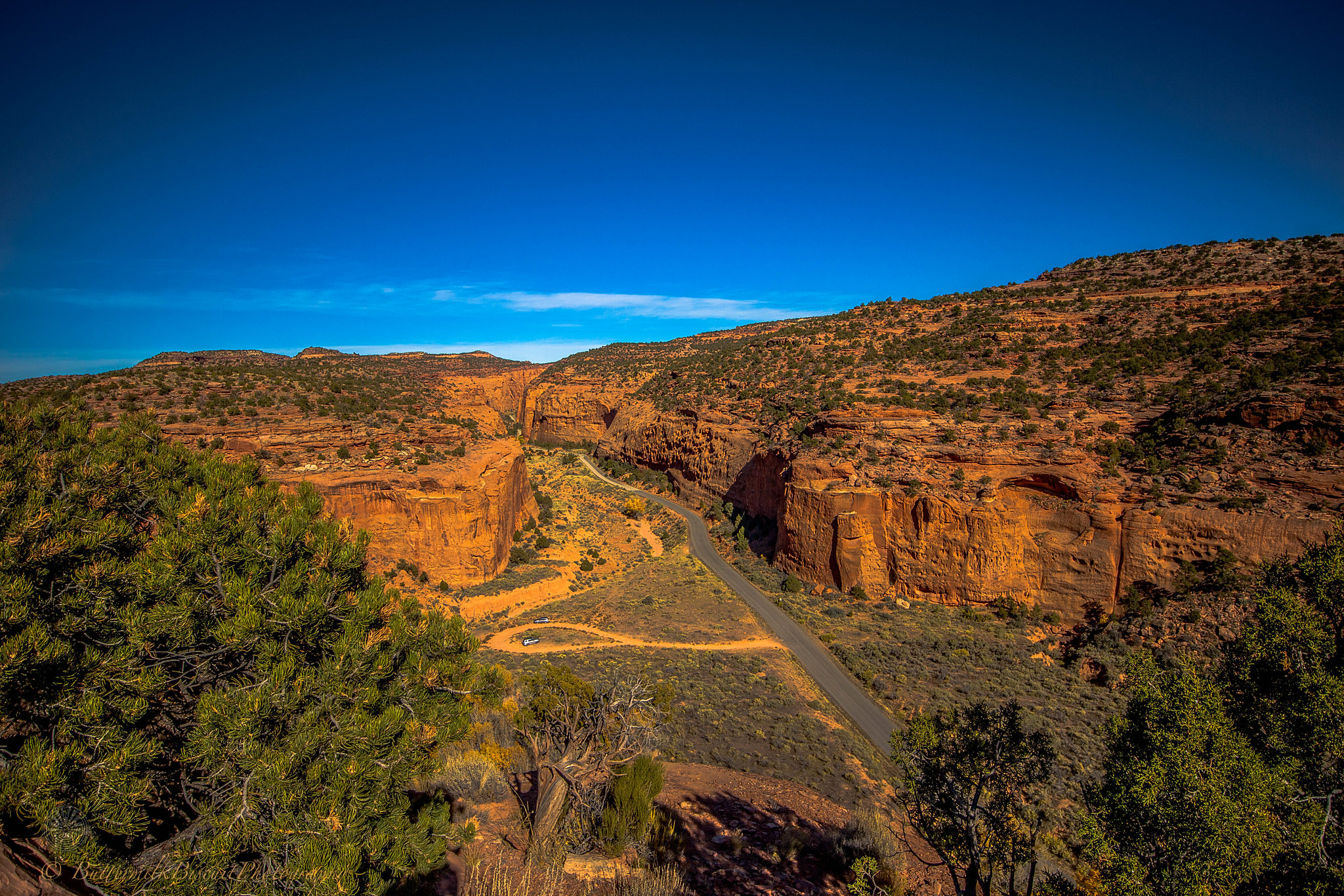
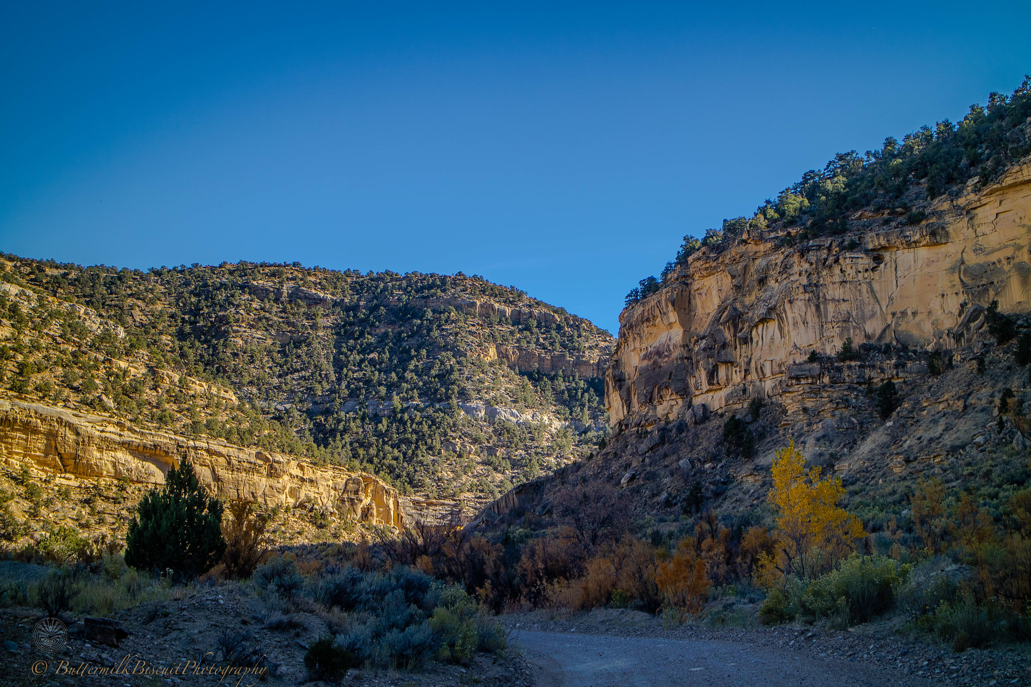
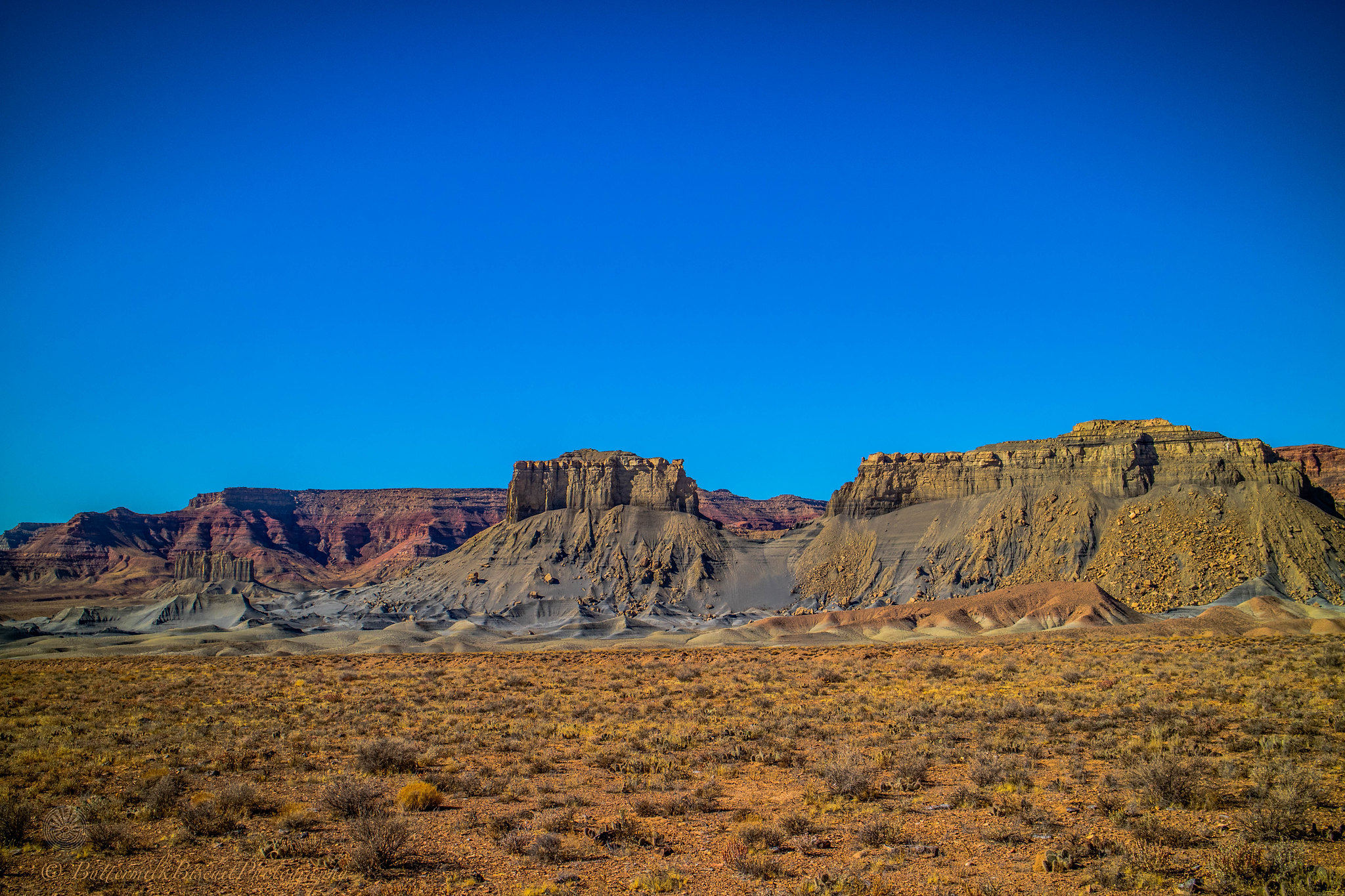
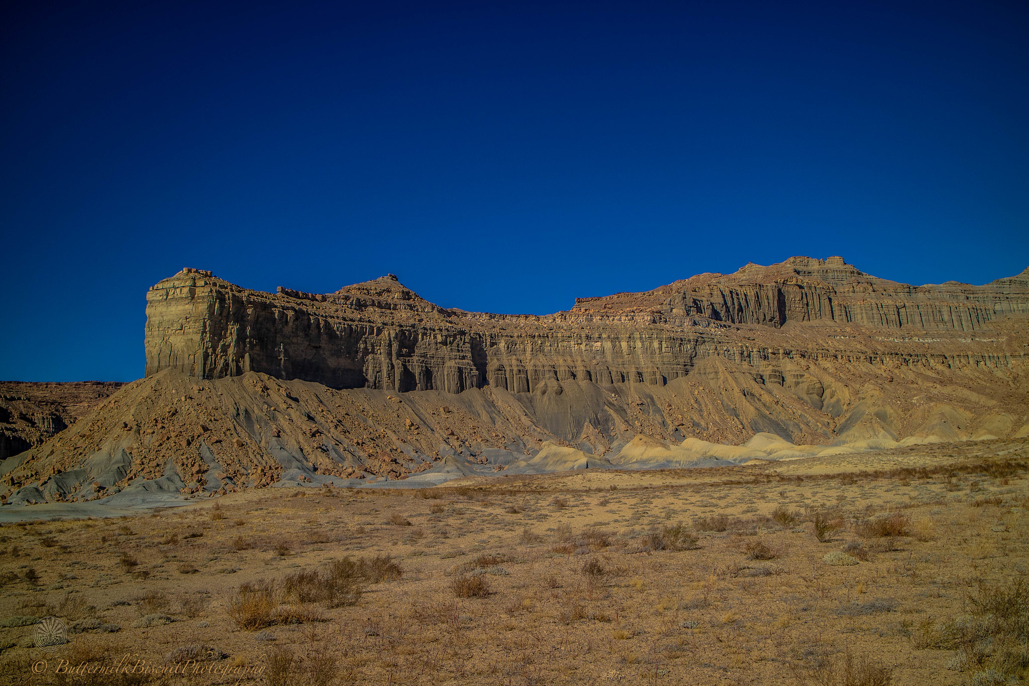
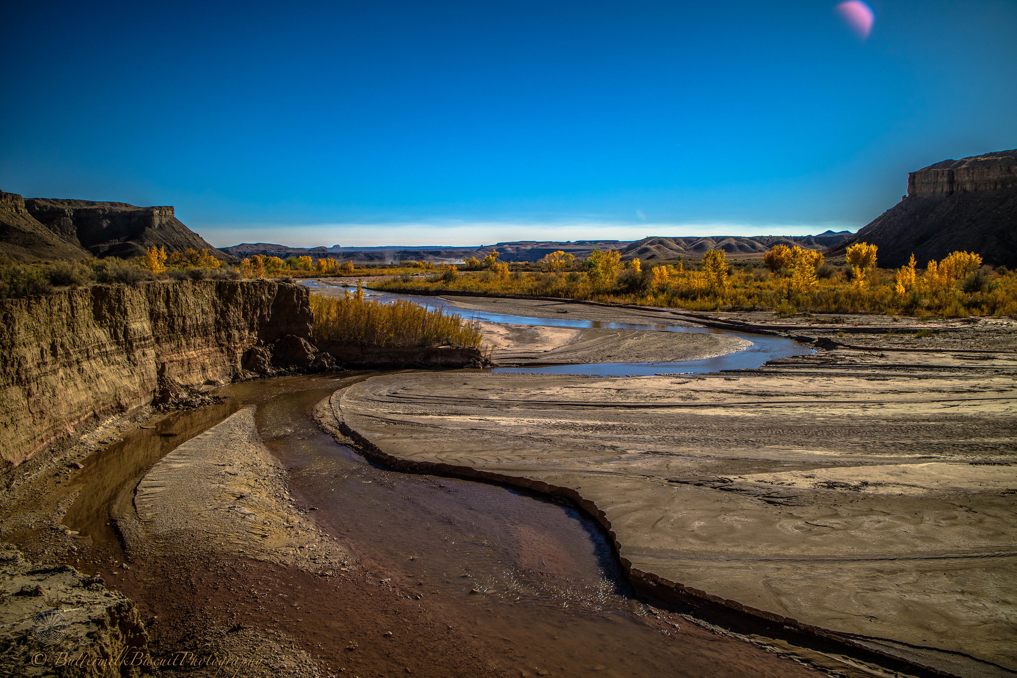
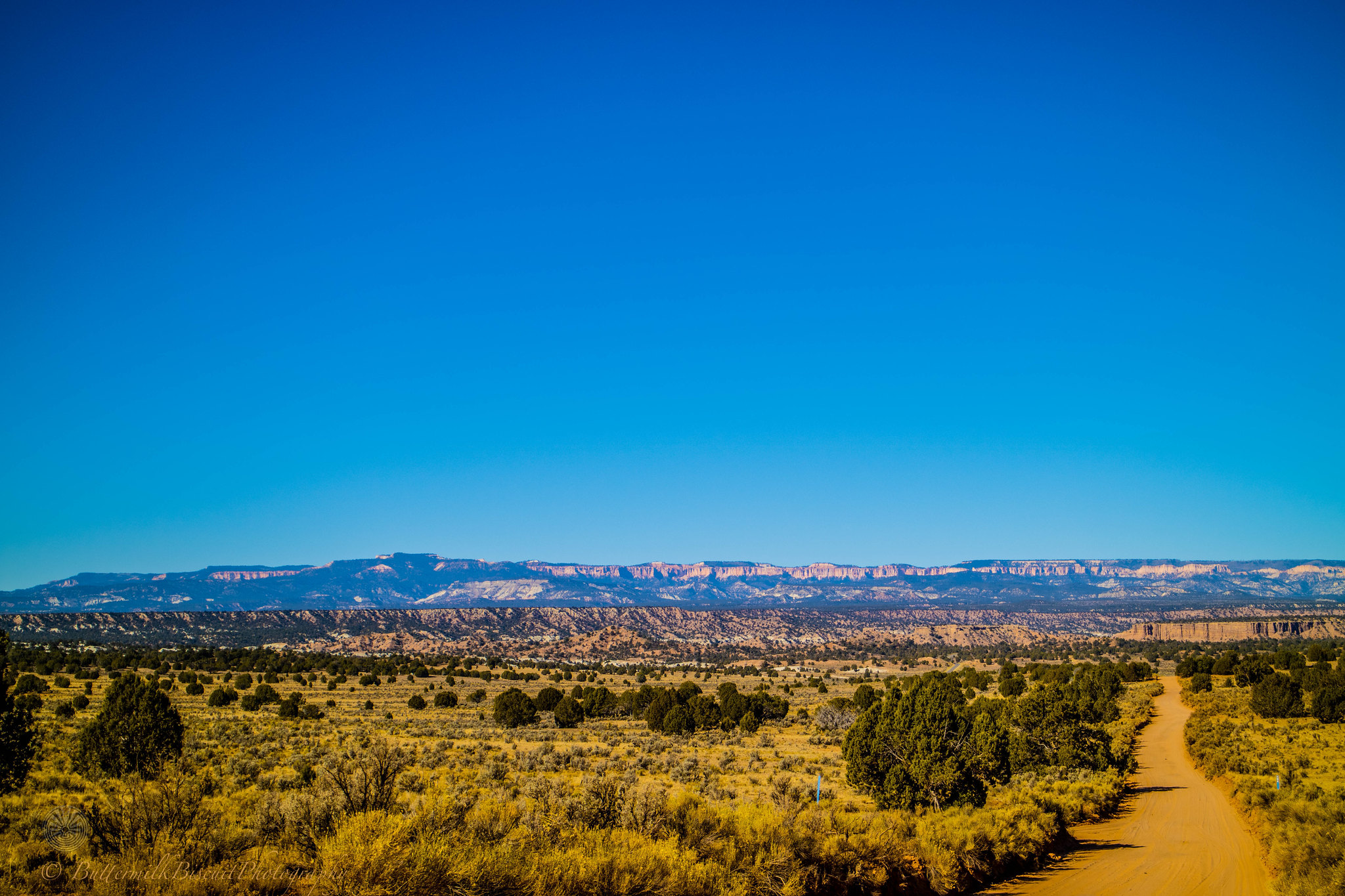
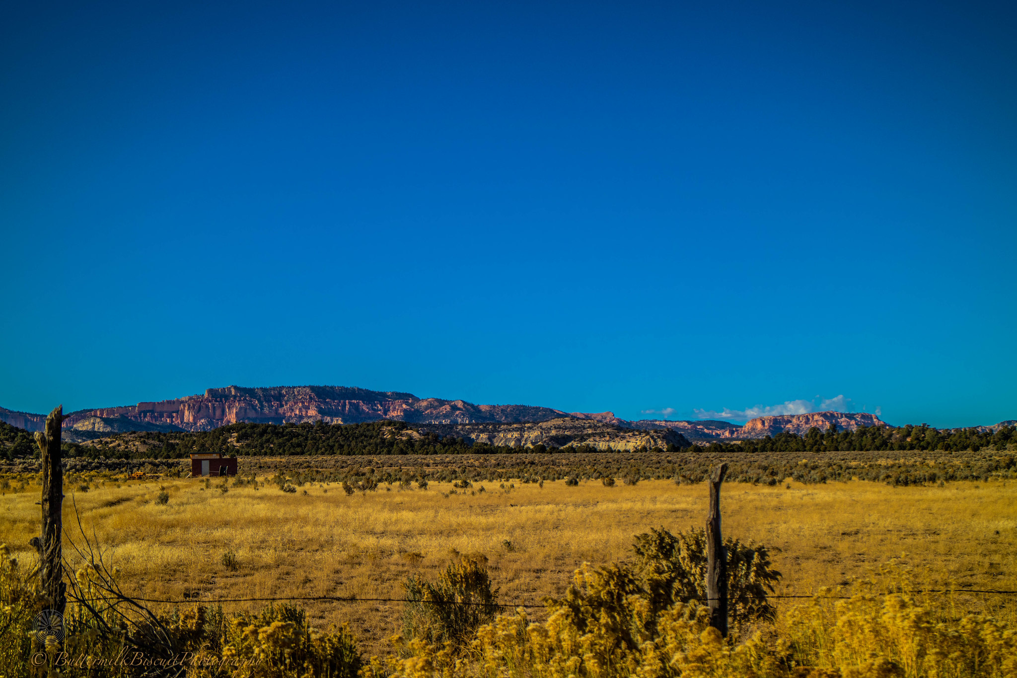
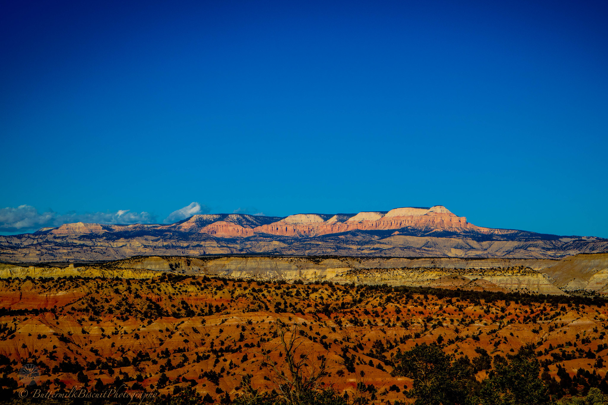
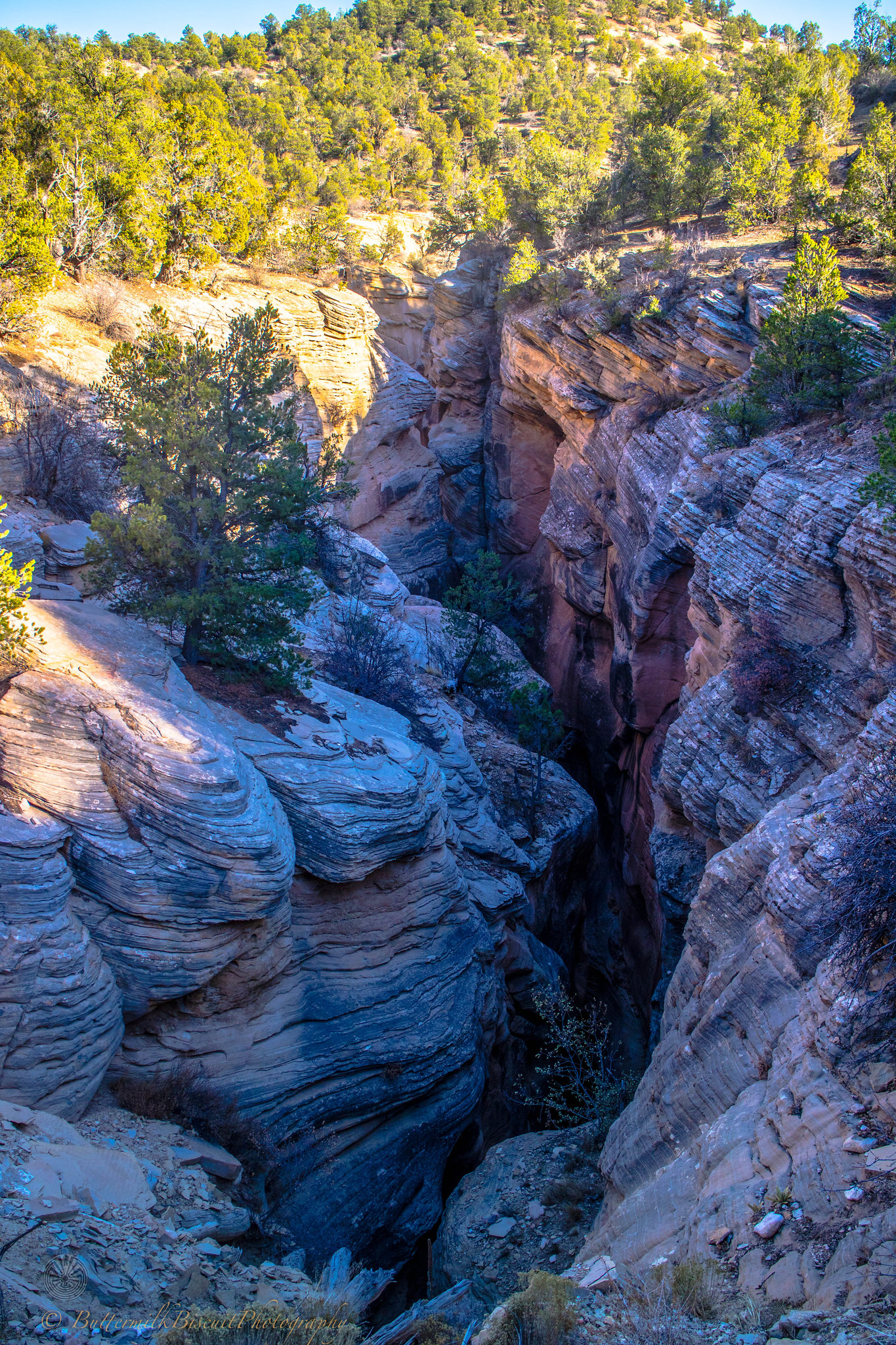
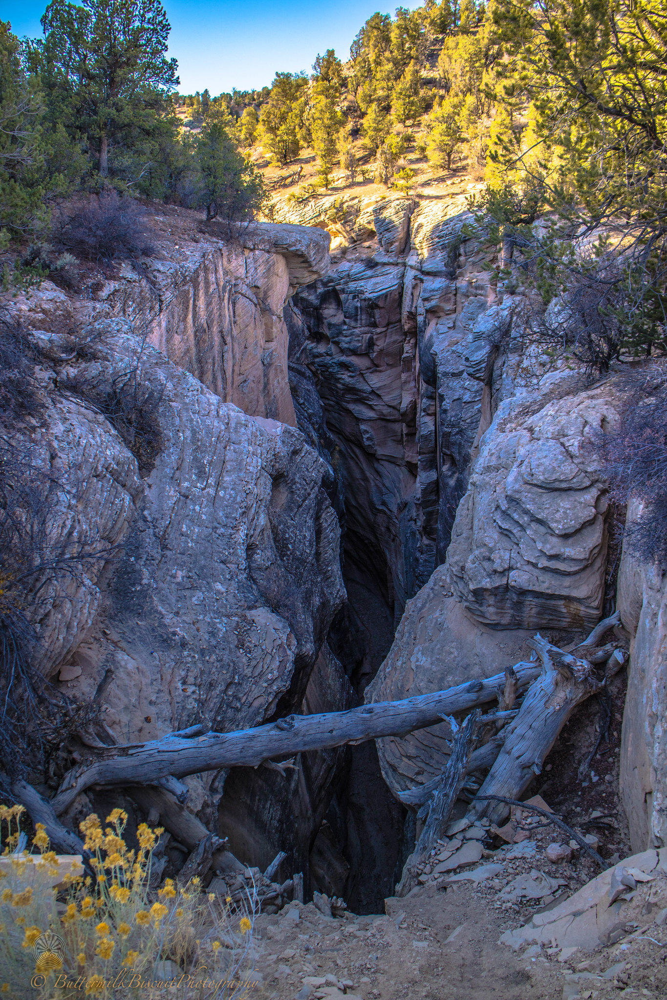
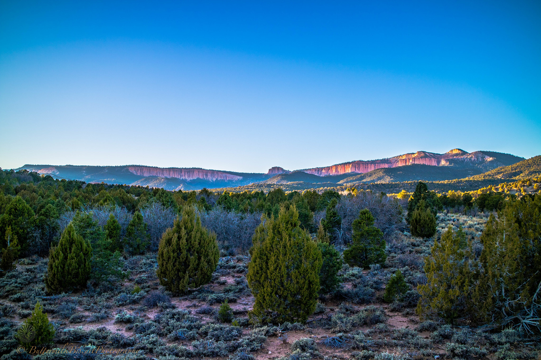
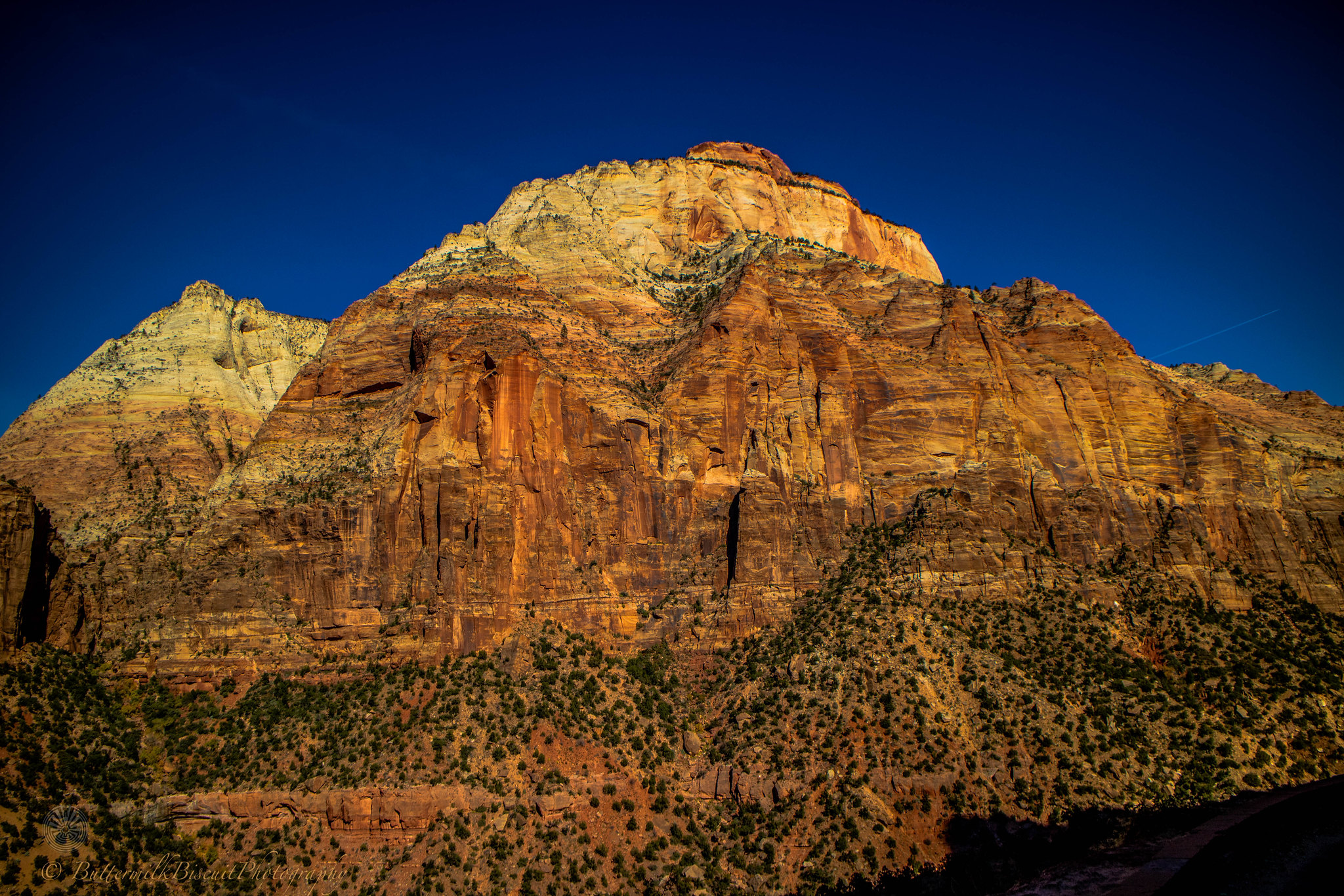
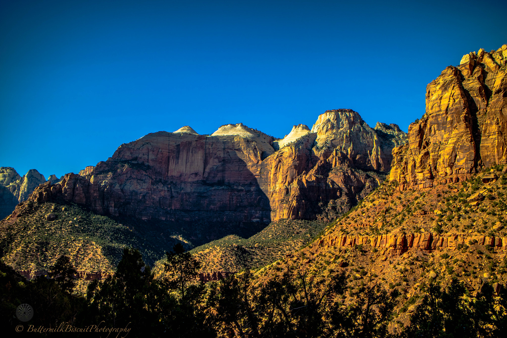
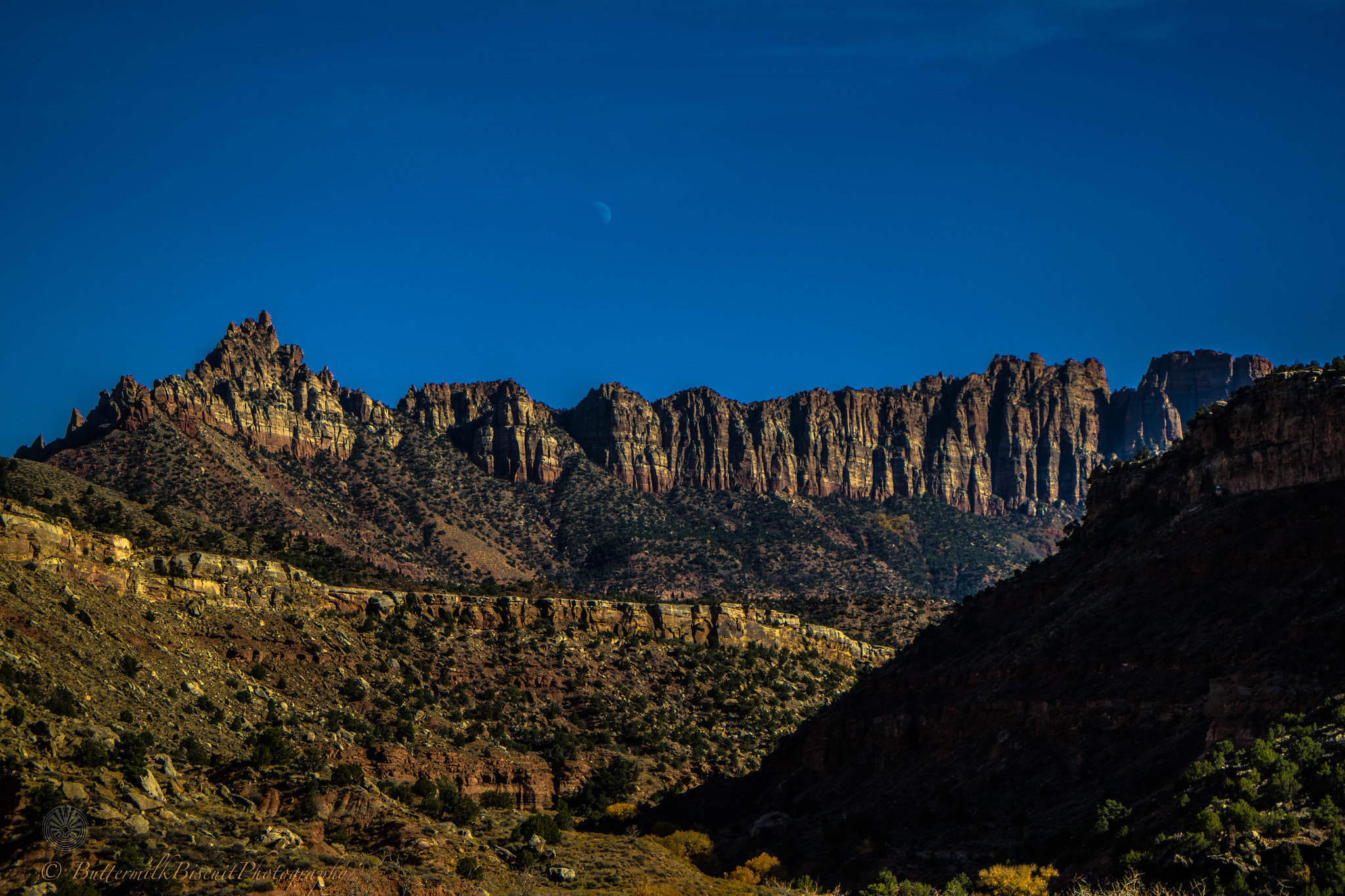
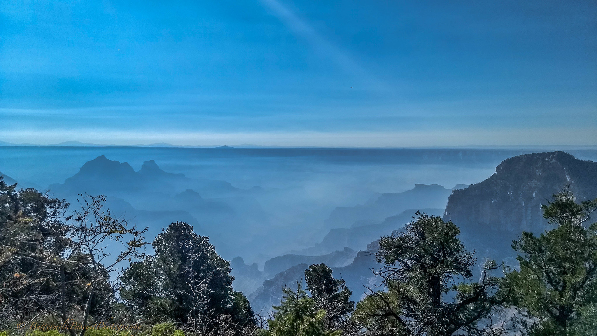
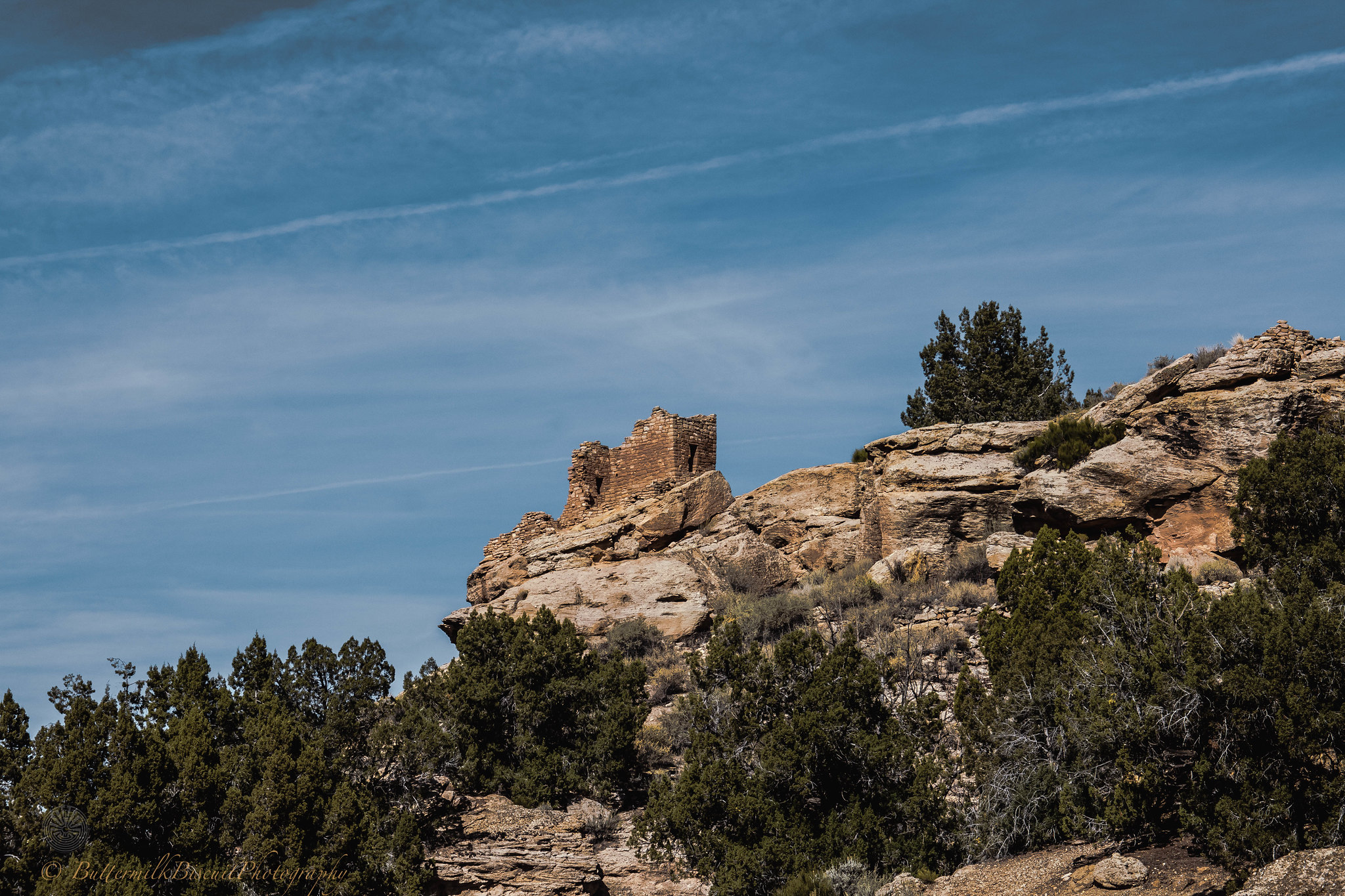
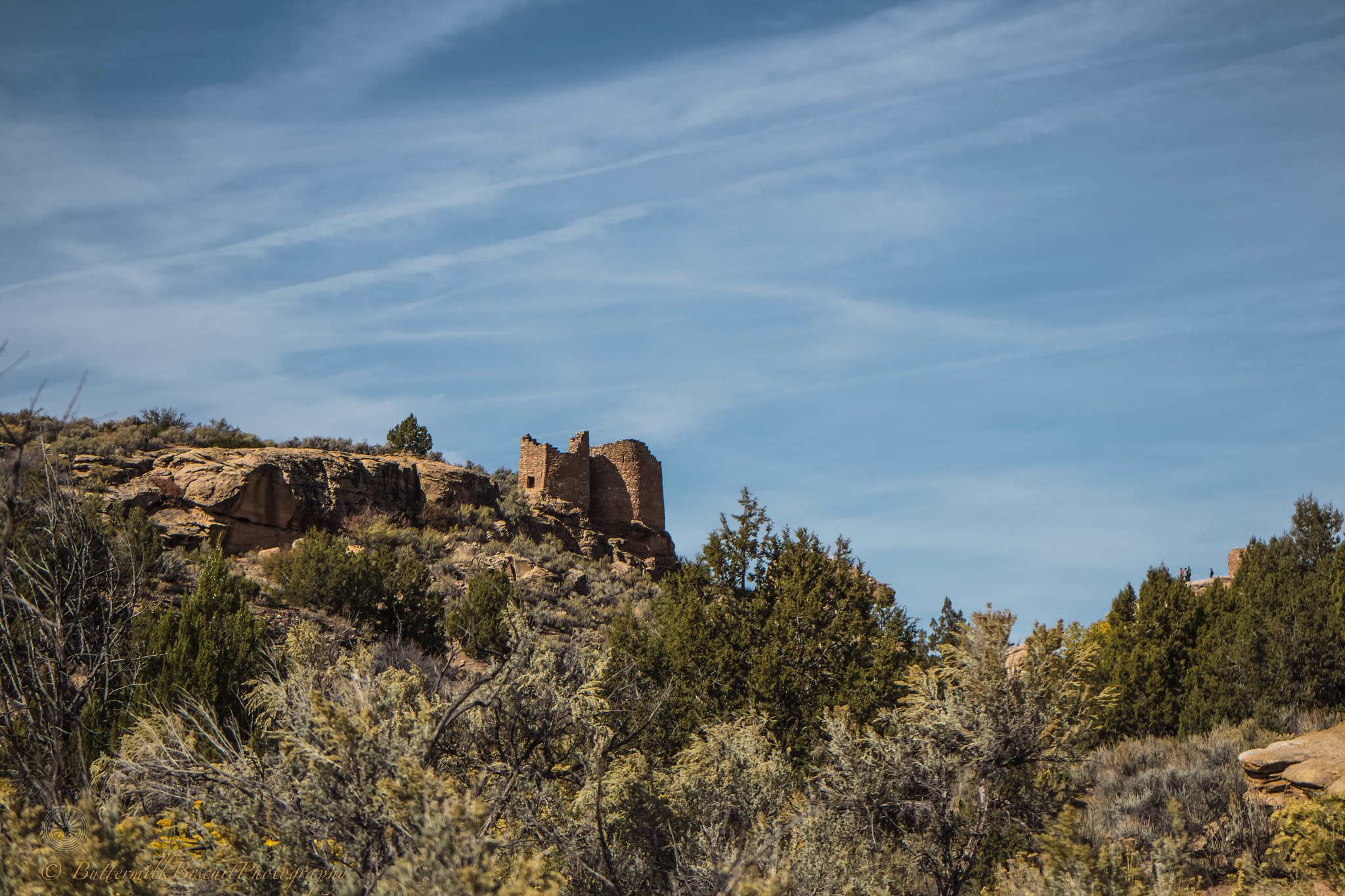
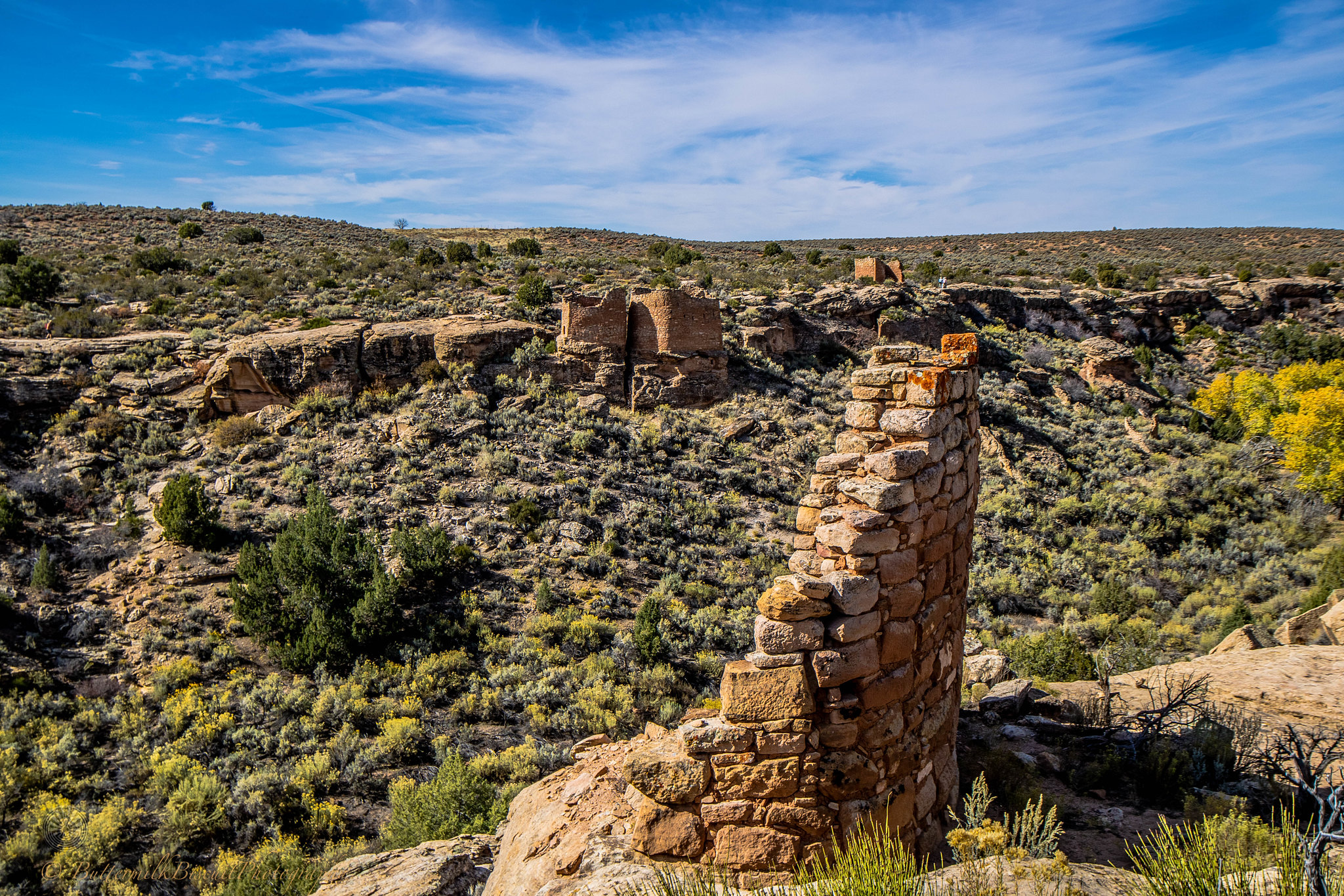
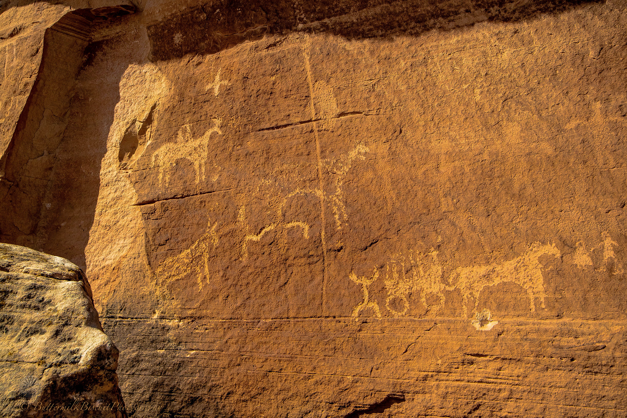
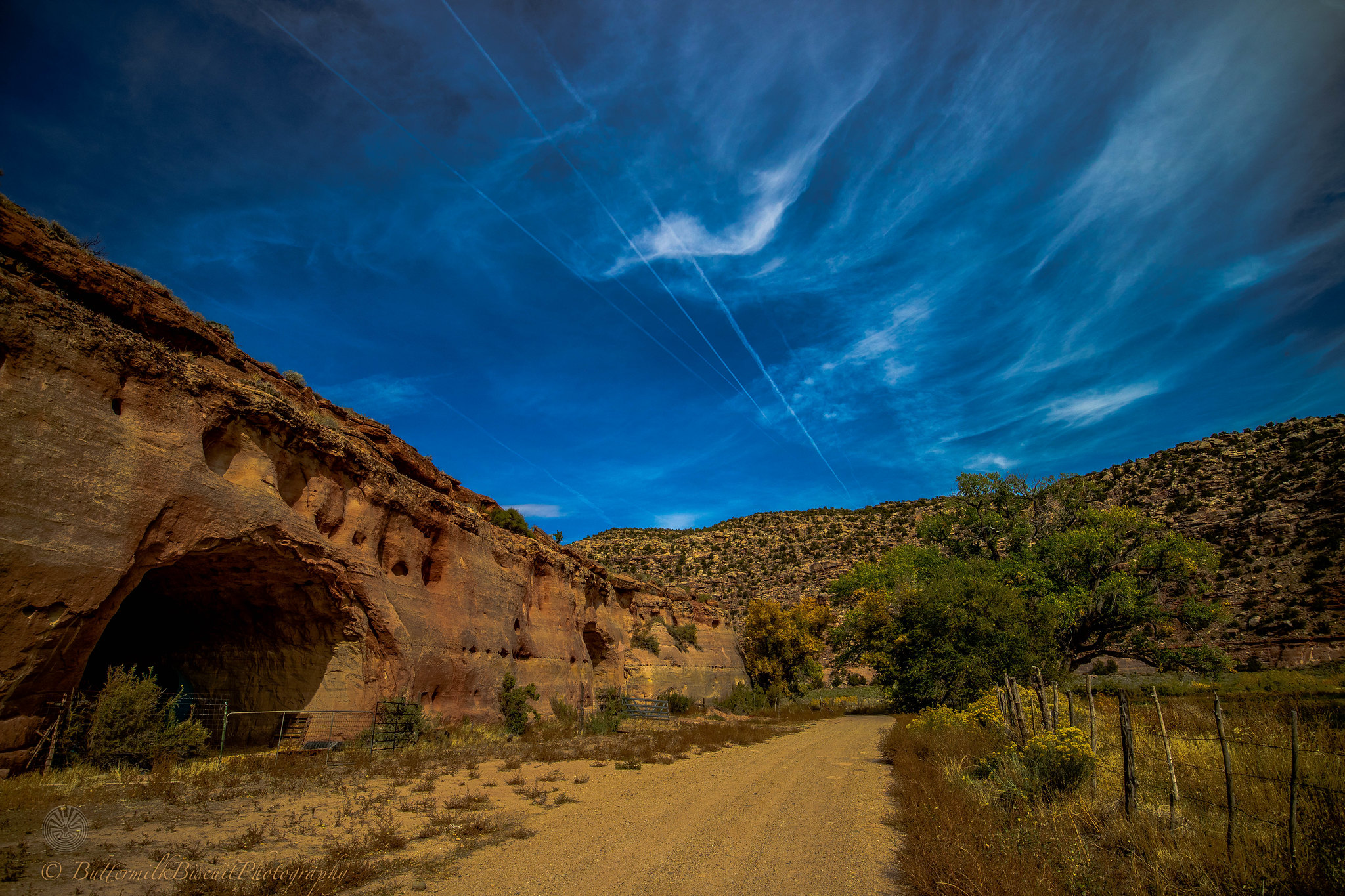
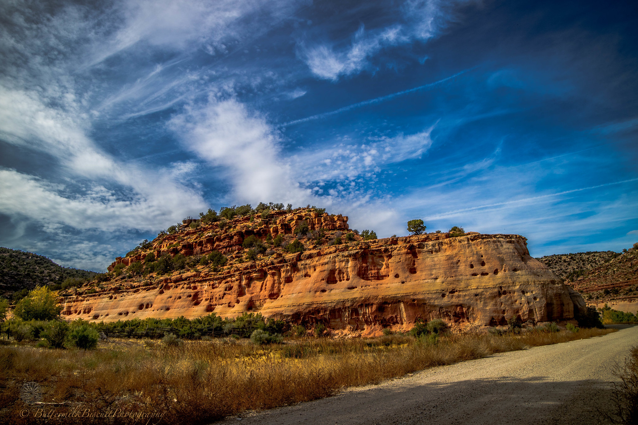
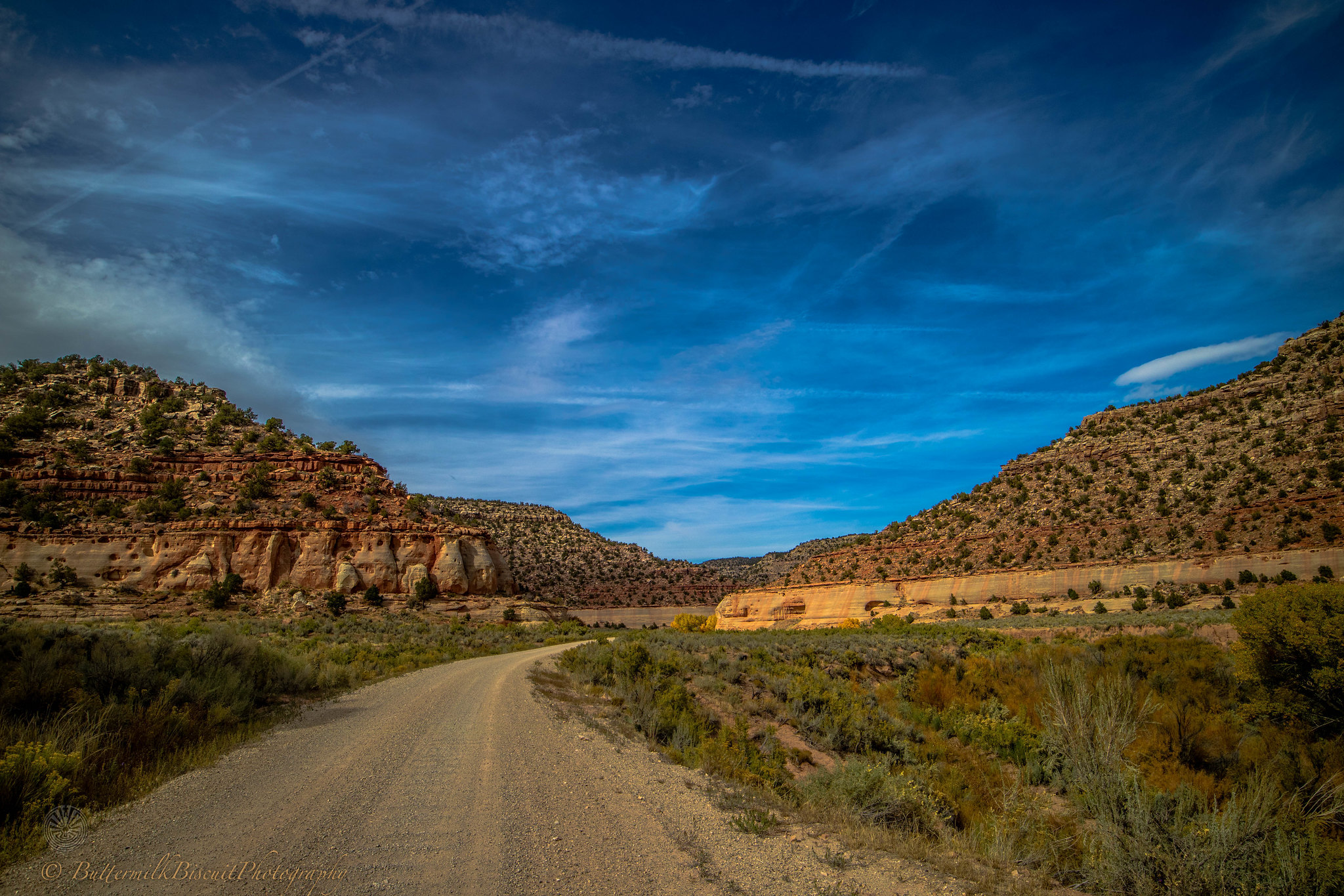
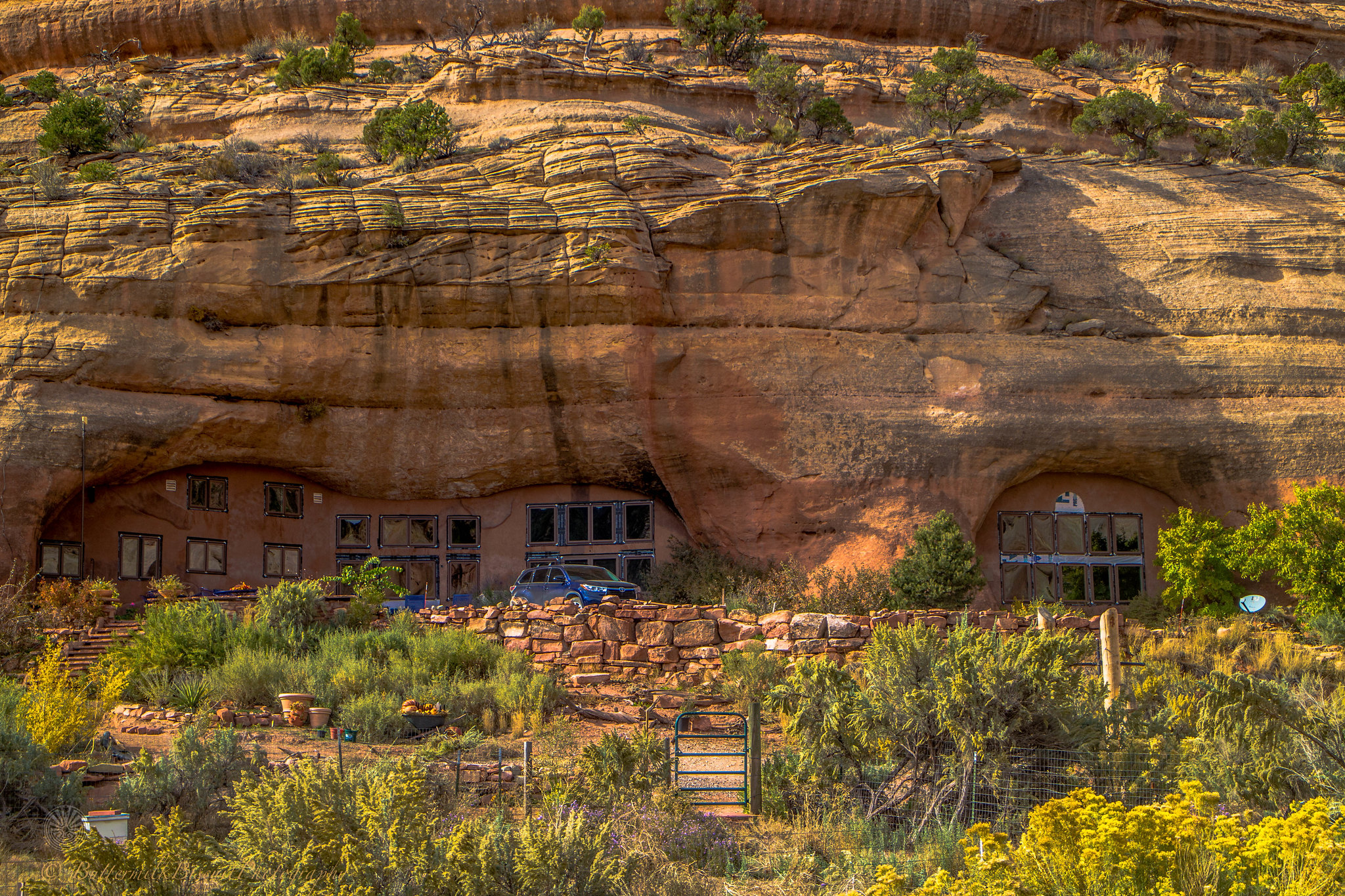
Hovenweep
 IMG_001 by Buttermilk Biscuit, on Flickr
 IMG_002 by Buttermilk Biscuit, on Flickr
 IMG_003 by Buttermilk Biscuit, on Flickr
 IMG_004 by Buttermilk Biscuit, on Flickr
 IMG_007 by Buttermilk Biscuit, on Flickr
 IMG_008 by Buttermilk Biscuit, on Flickr
 IMG_009 by Buttermilk Biscuit, on Flickr
 IMG_011 by Buttermilk Biscuit, on Flickr
 IMG_013 by Buttermilk Biscuit, on Flickr
 IMG_014 by Buttermilk Biscuit, on Flickr
 IMG_016 by Buttermilk Biscuit, on Flickr
 IMG_017 by Buttermilk Biscuit, on Flickr
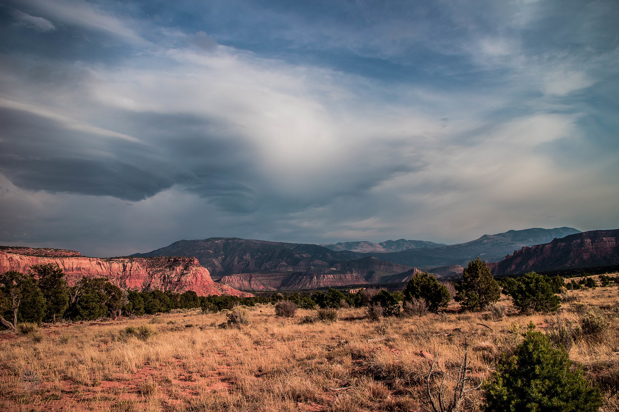
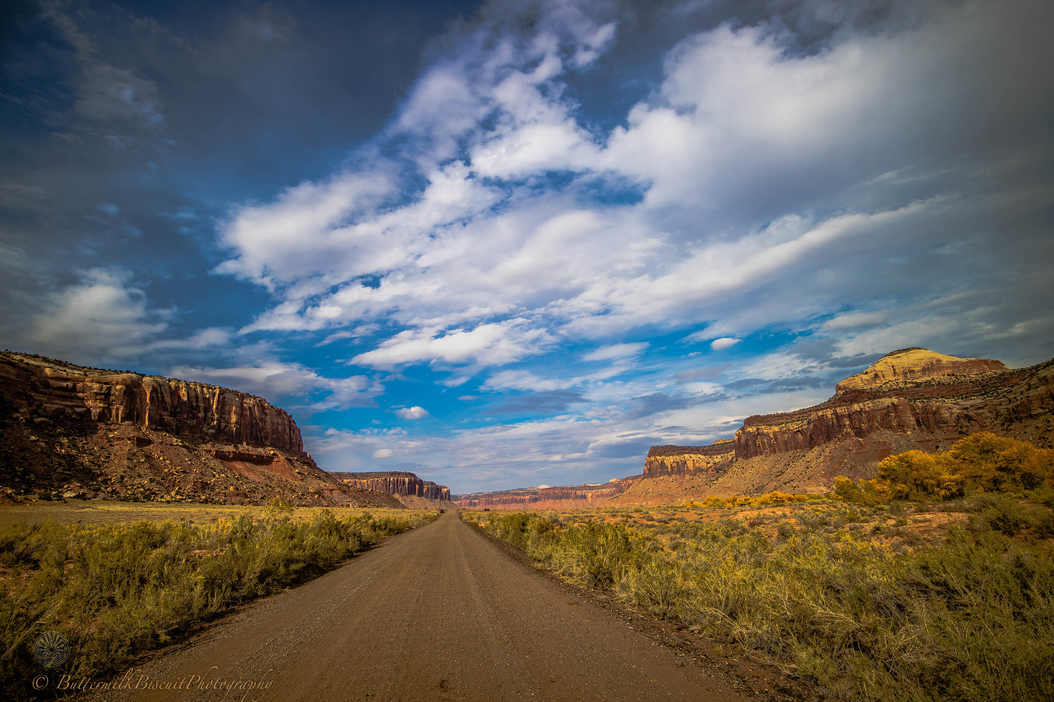
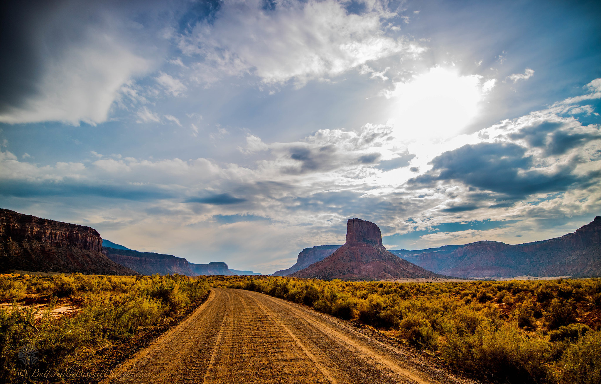
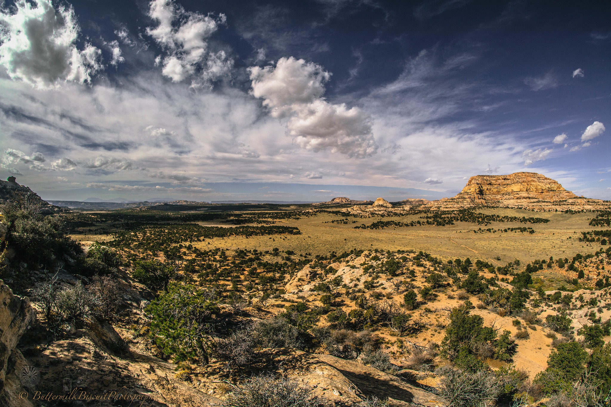
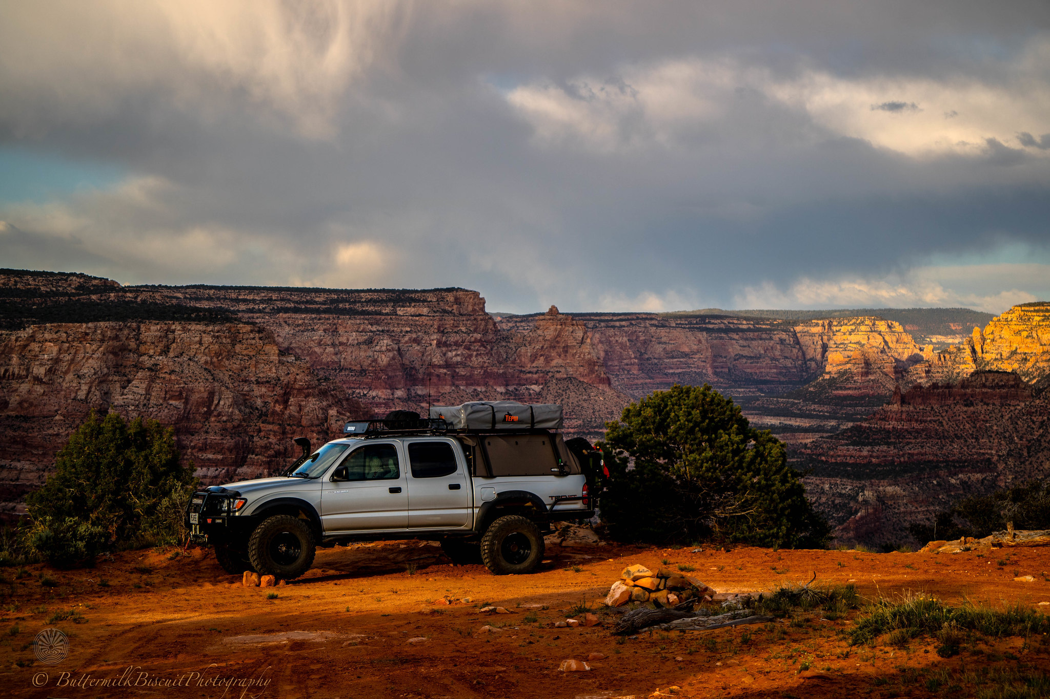
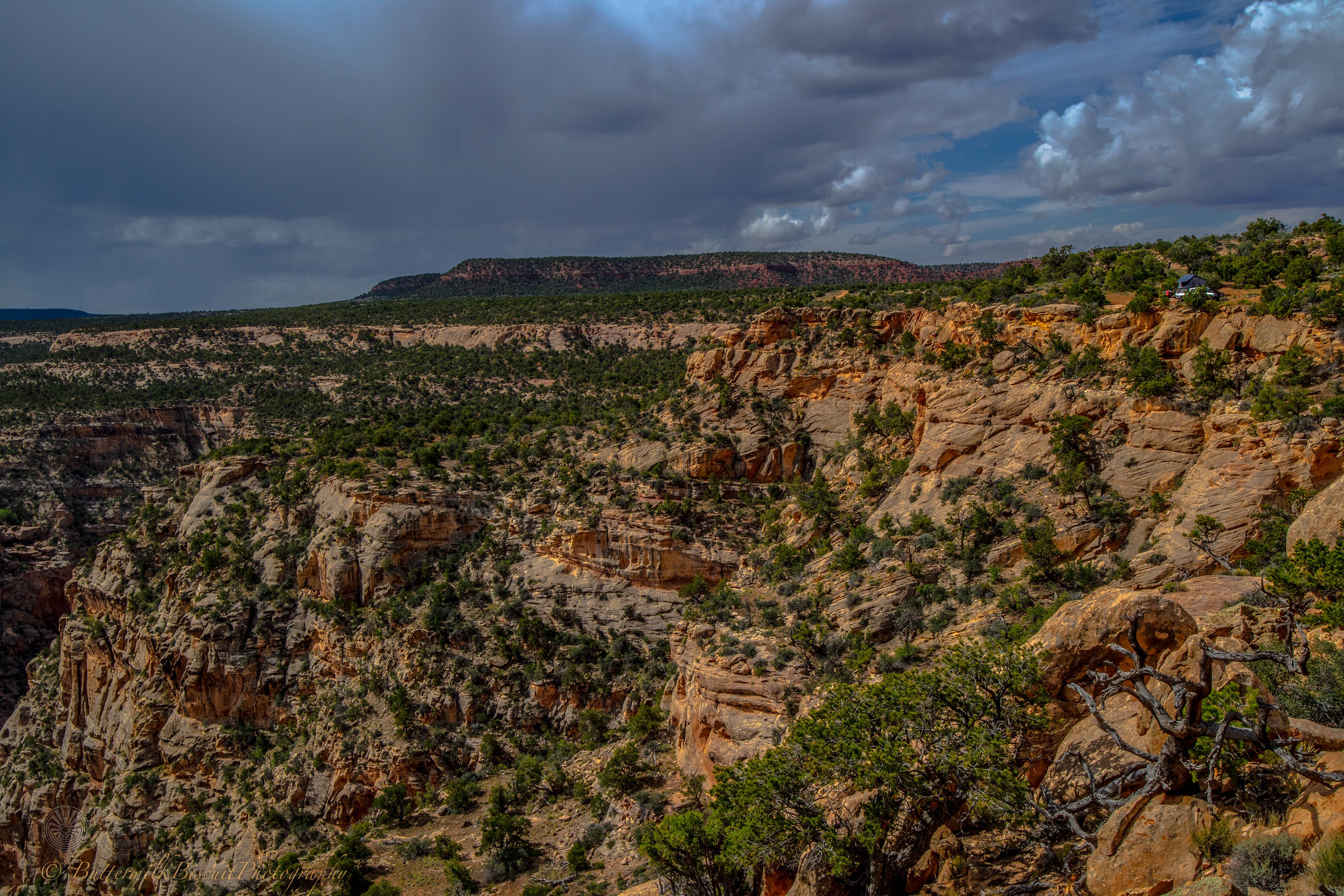
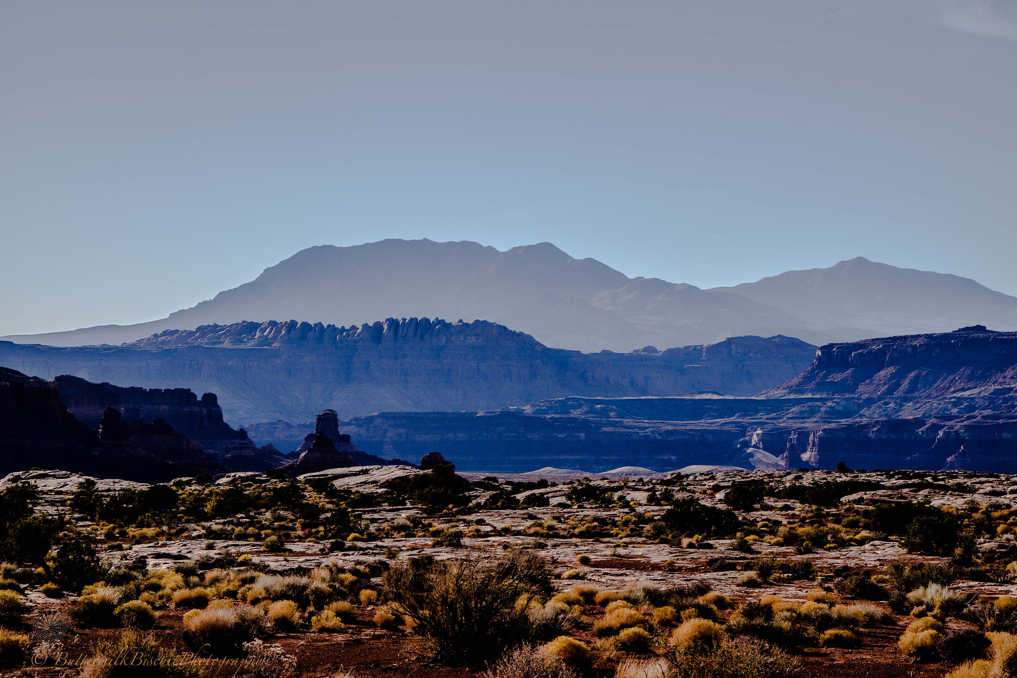
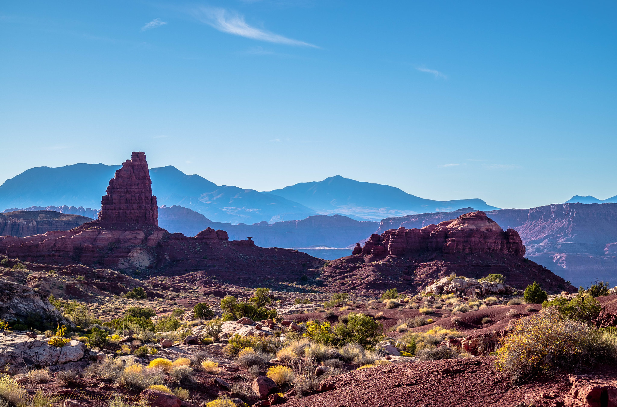
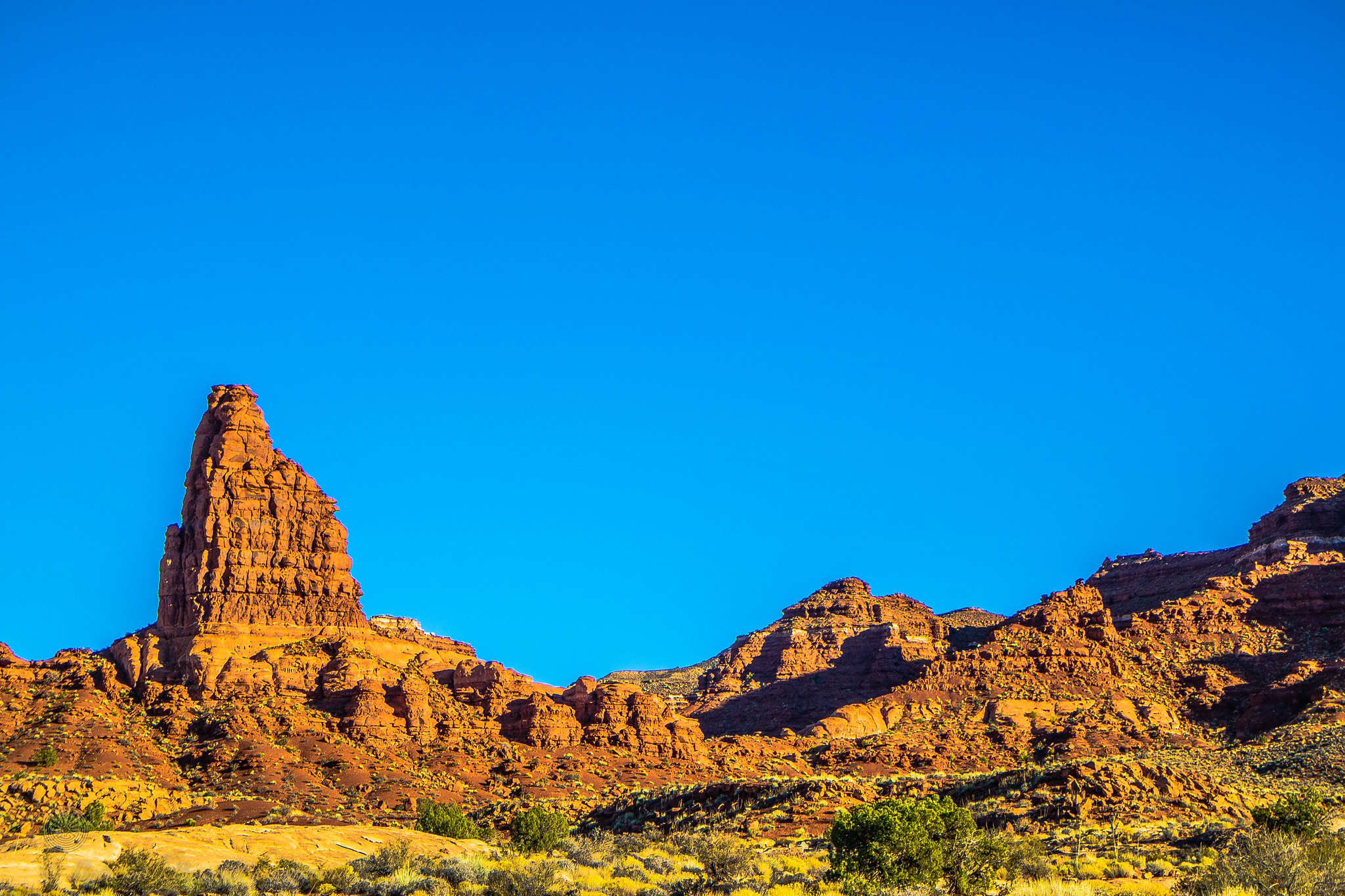
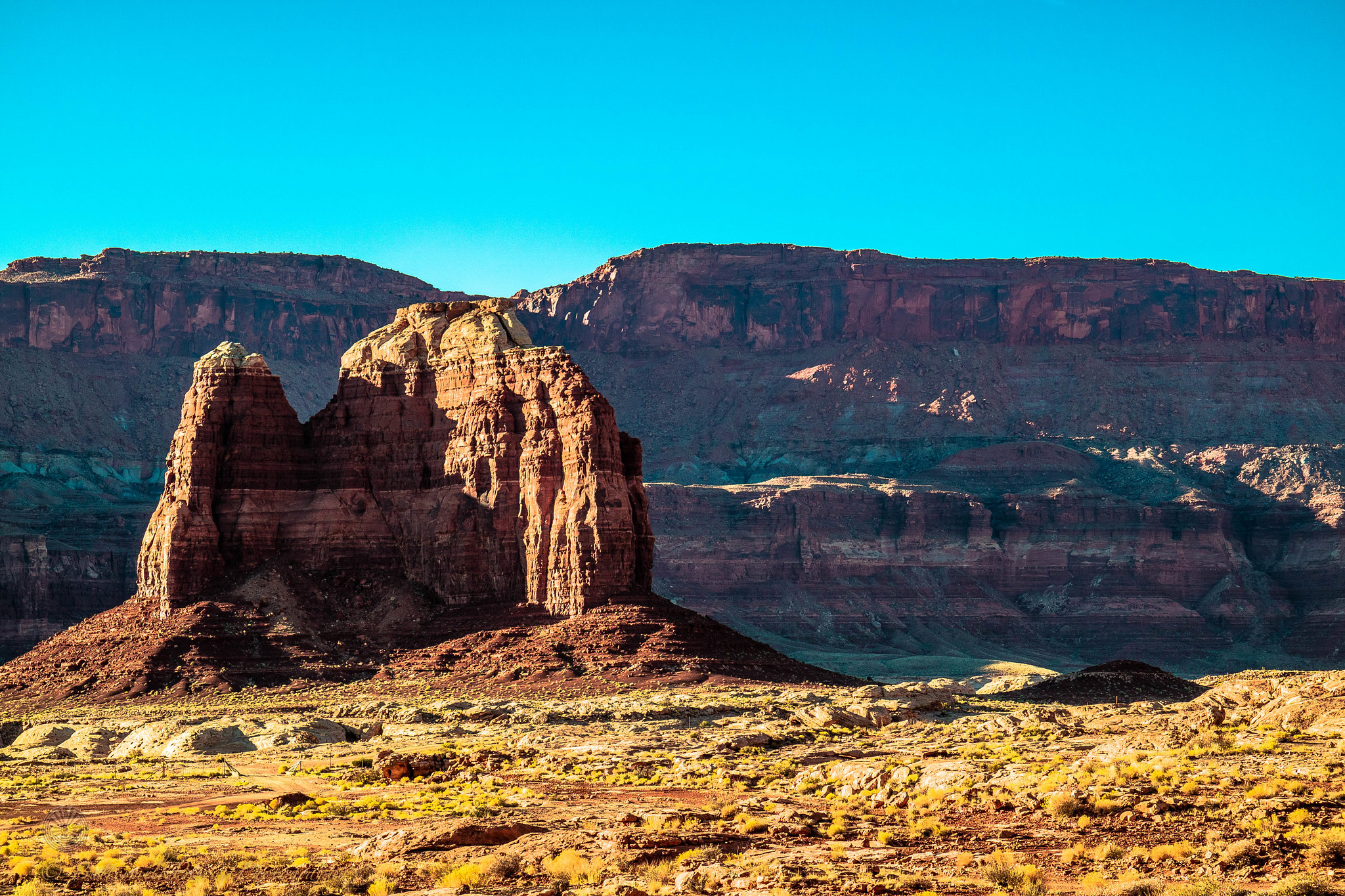
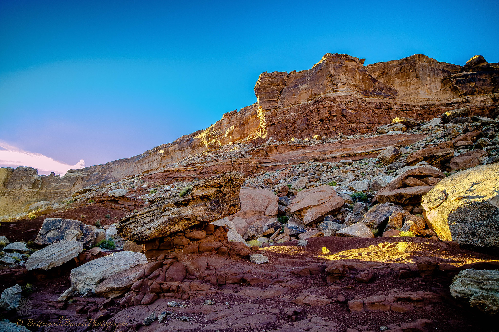
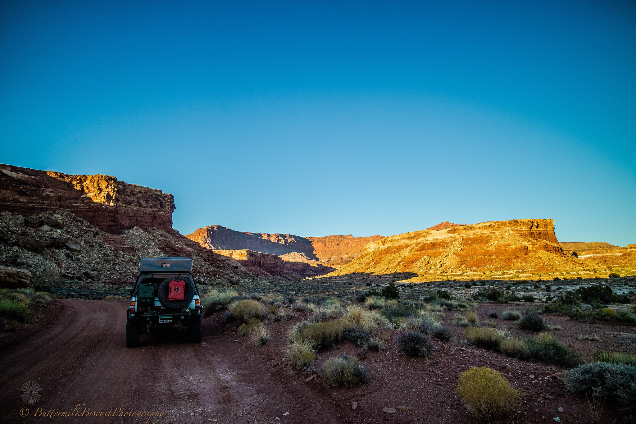
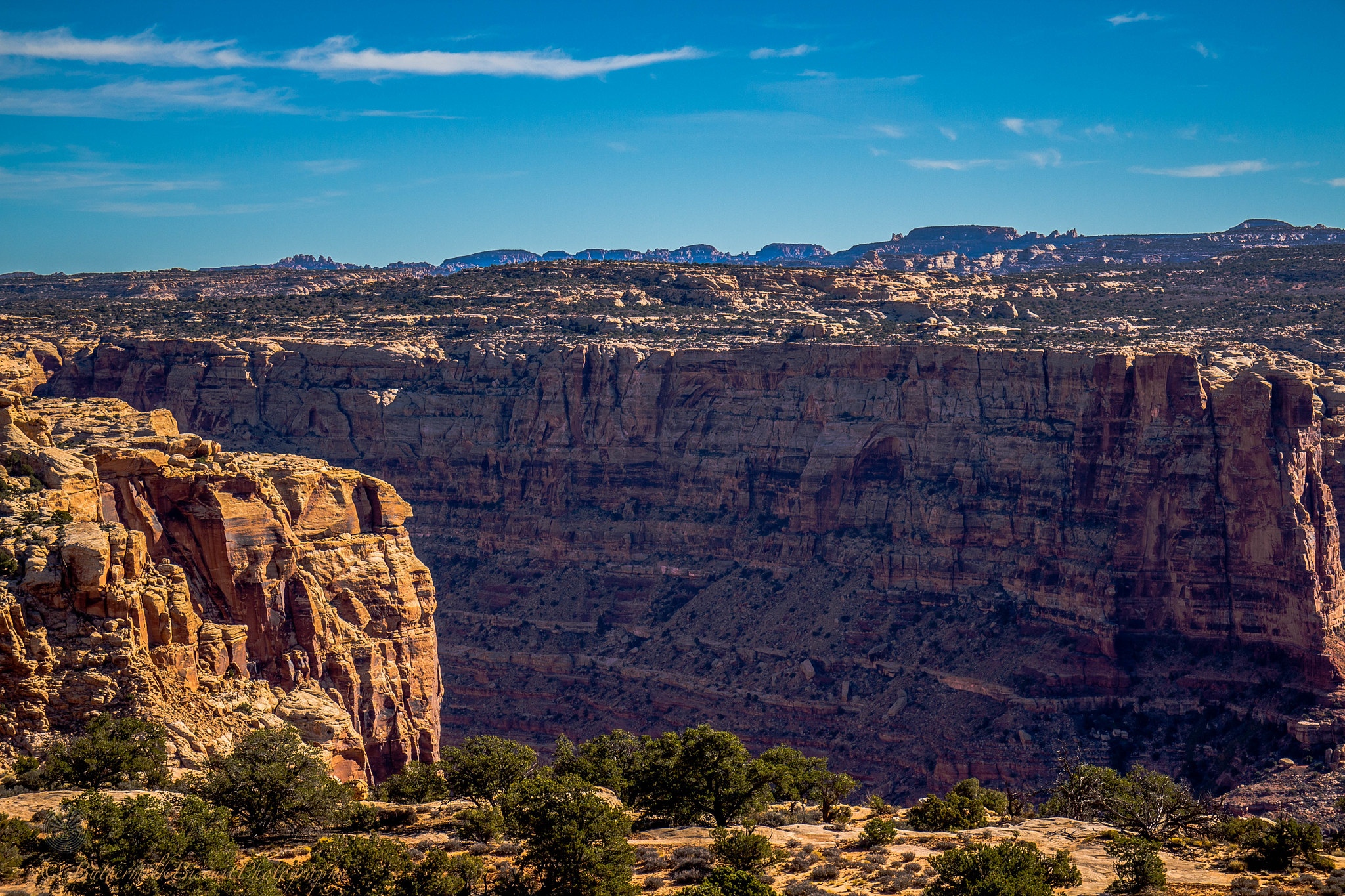
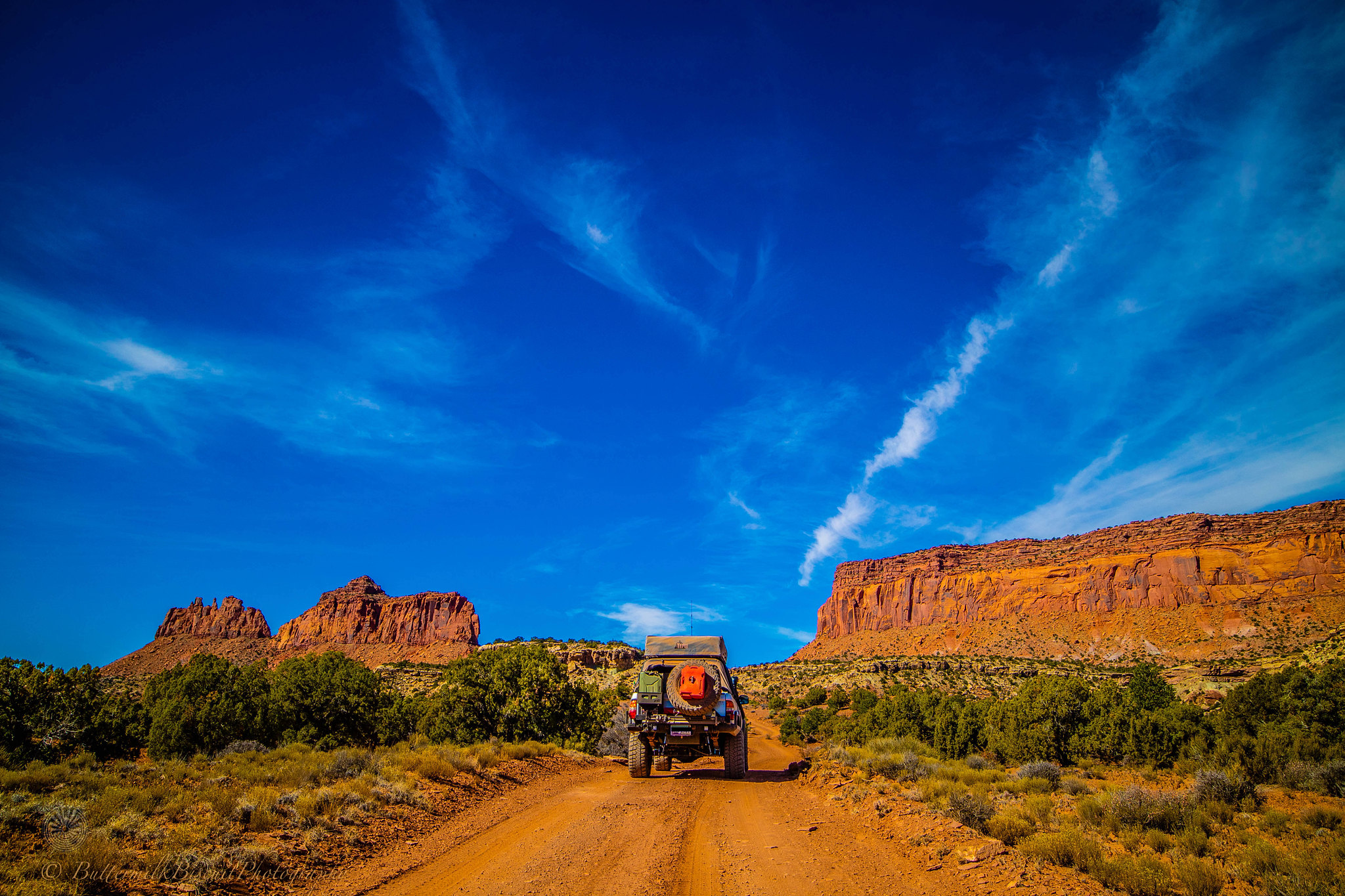
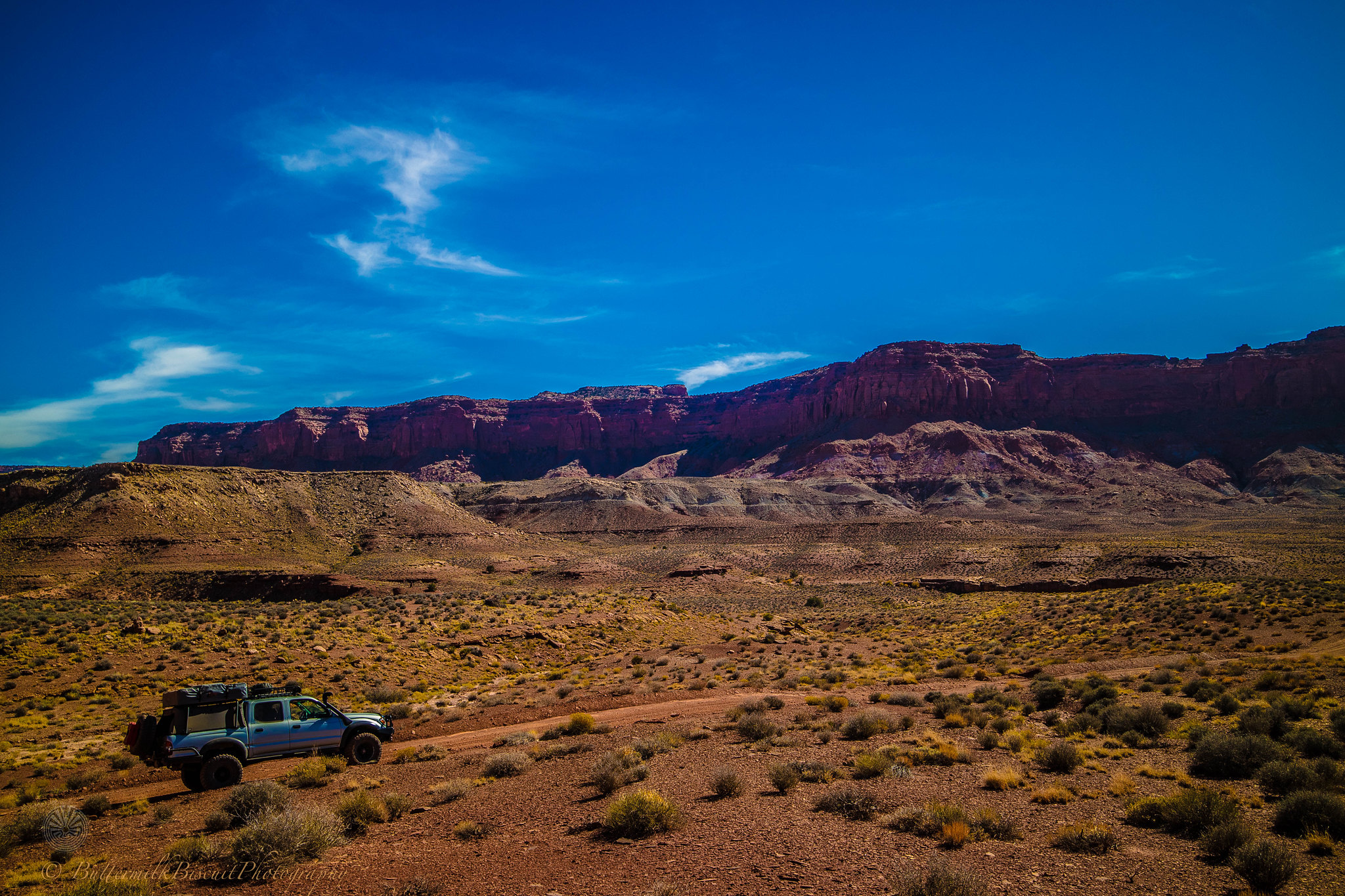
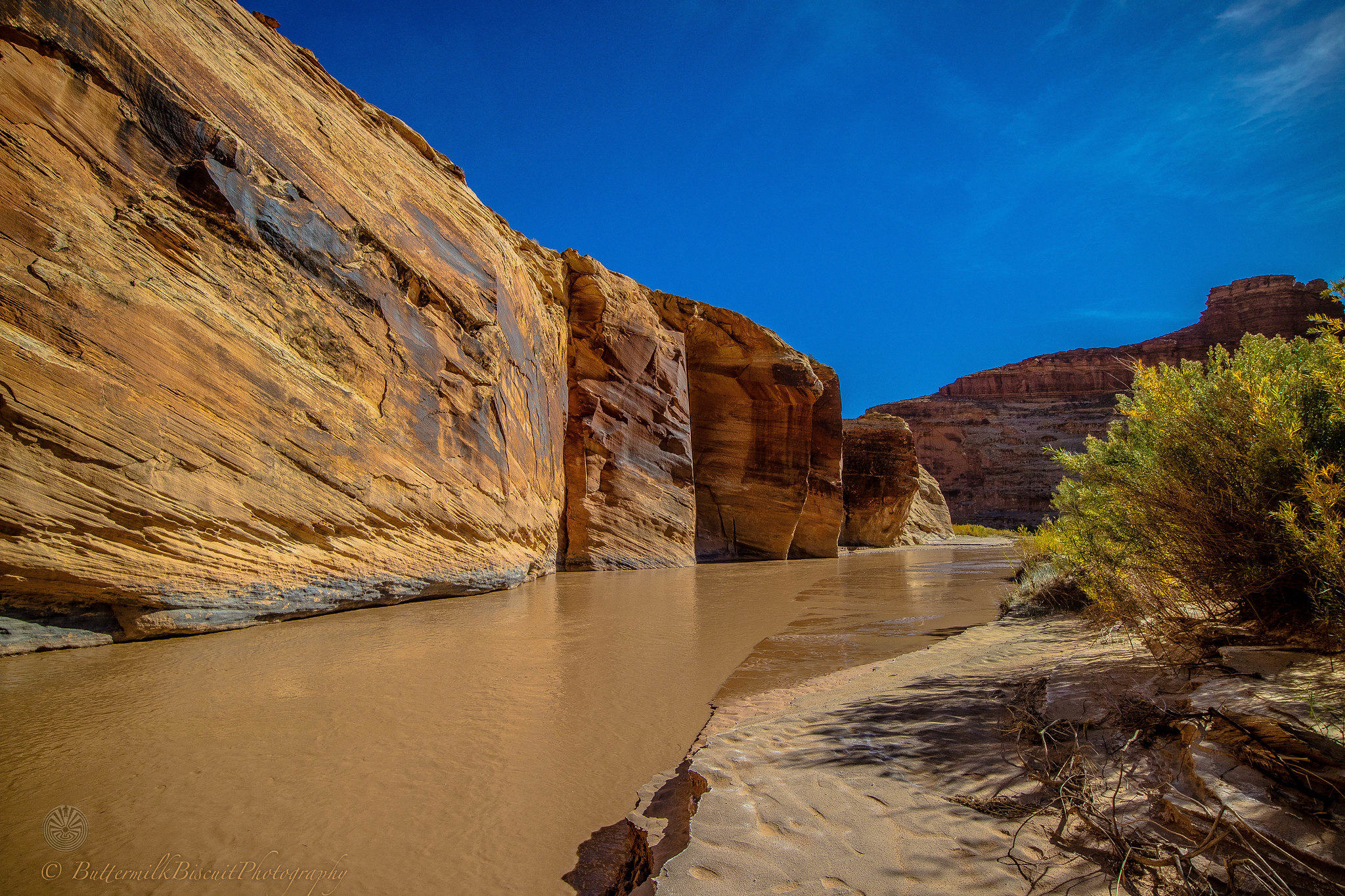
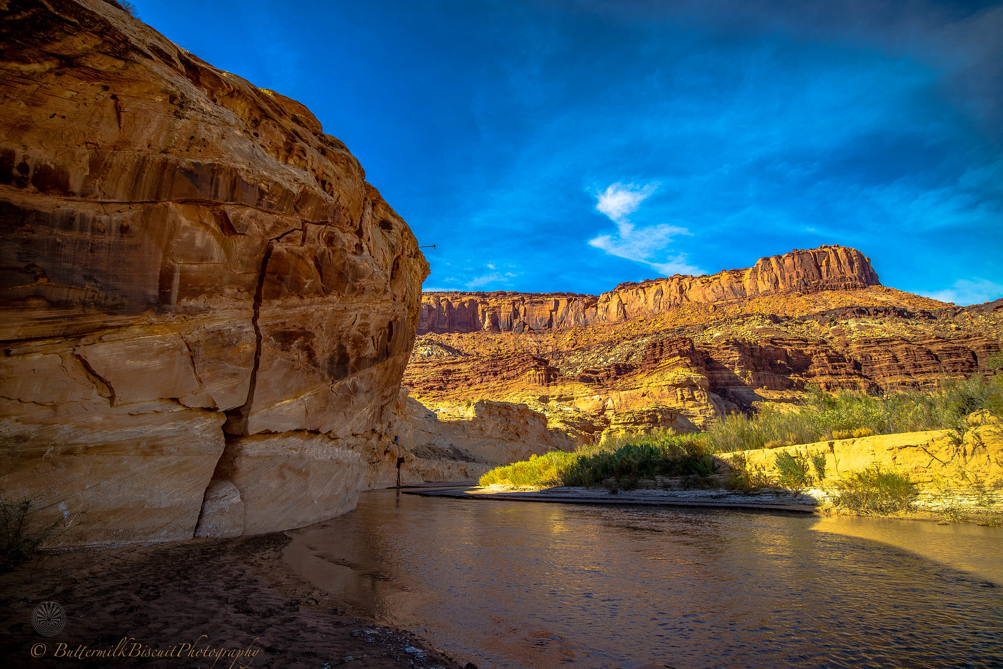
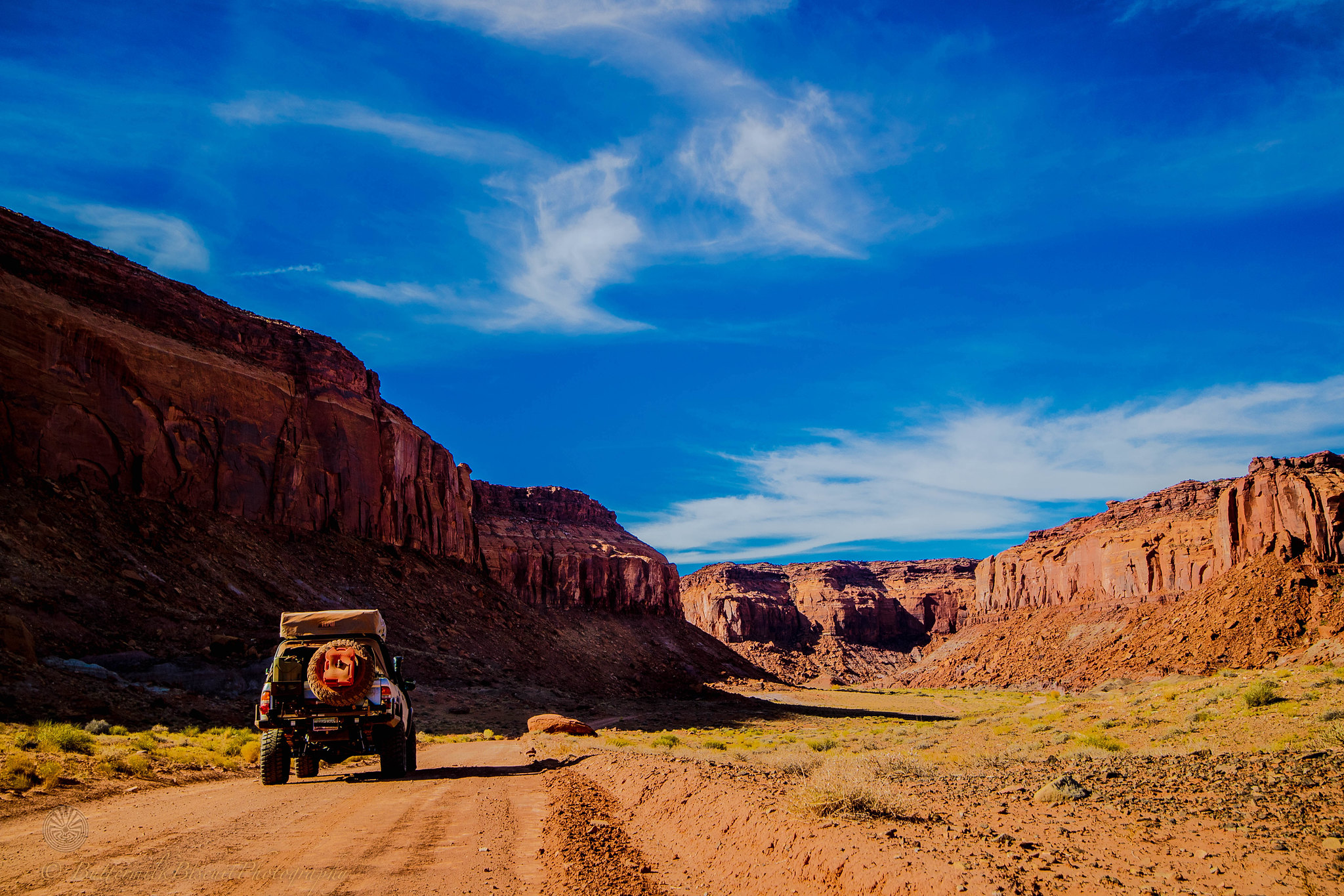
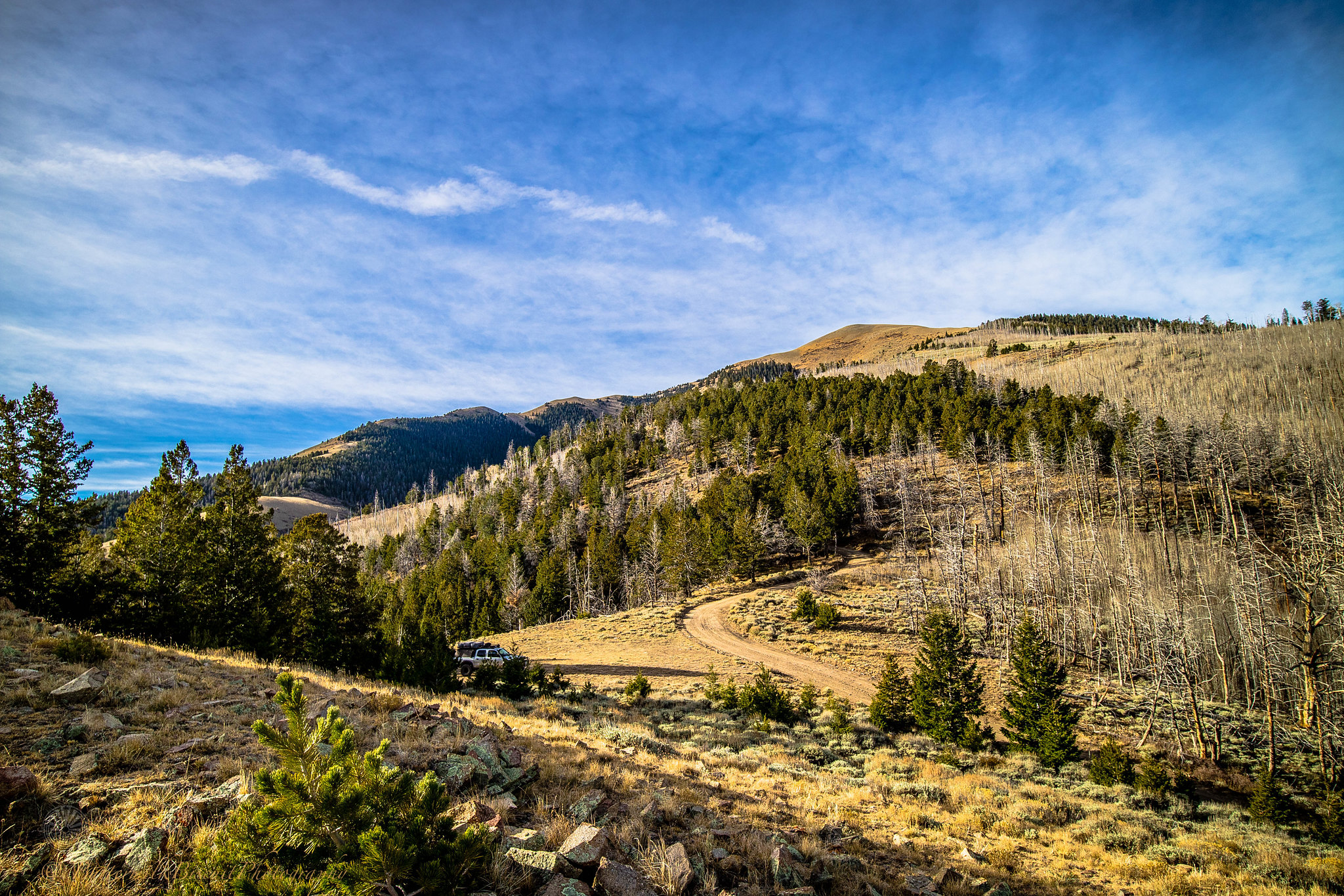
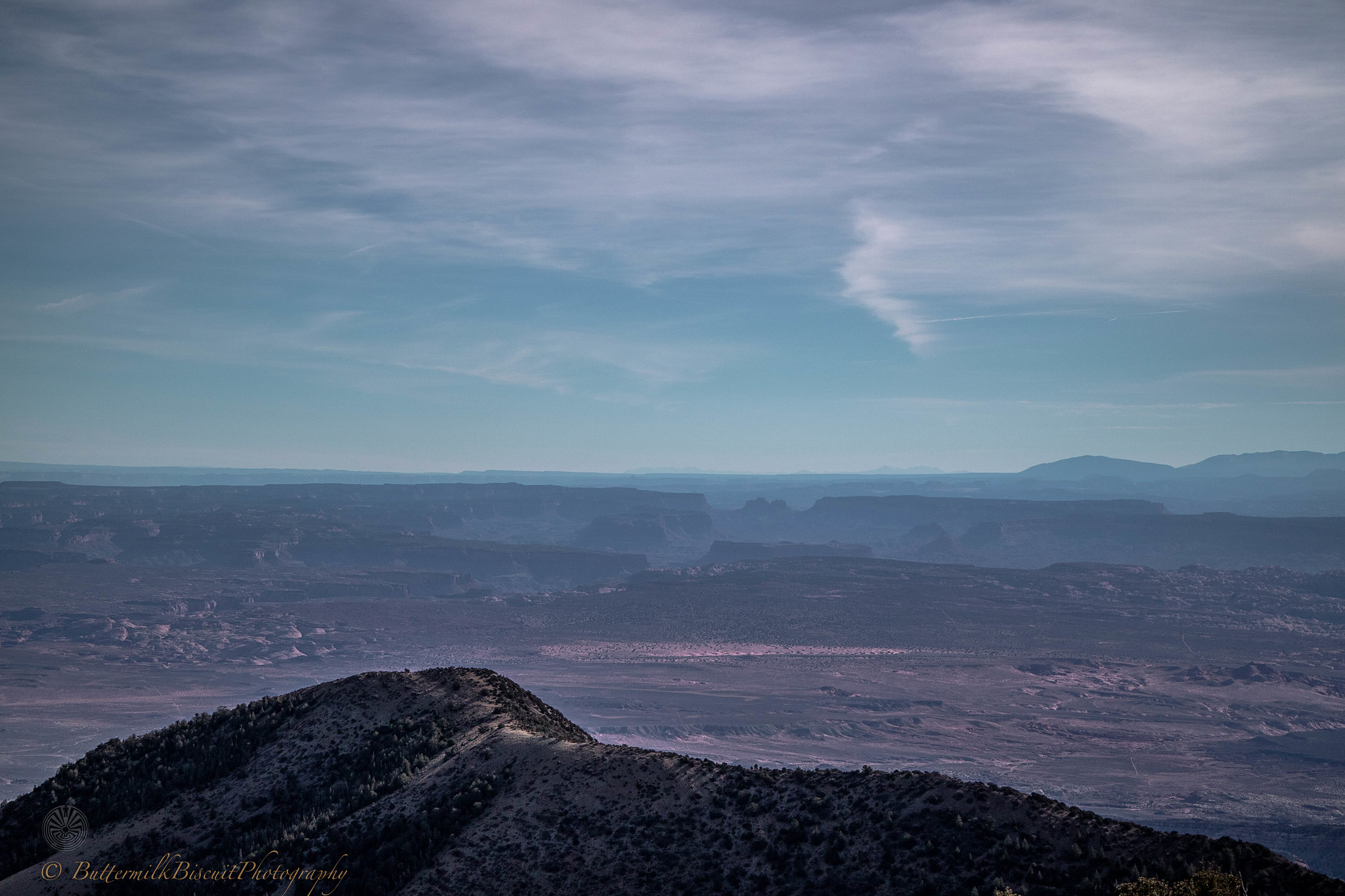
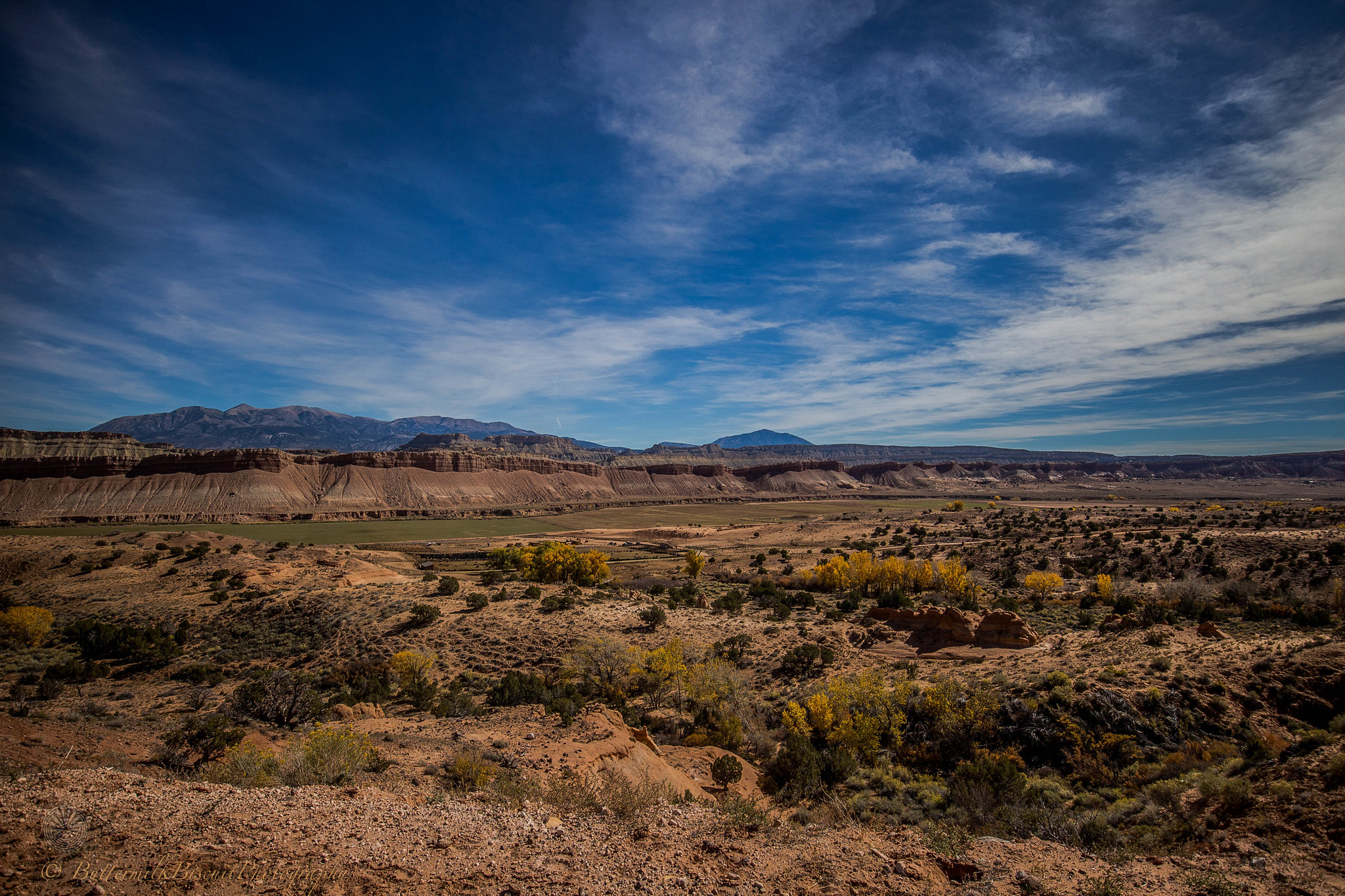
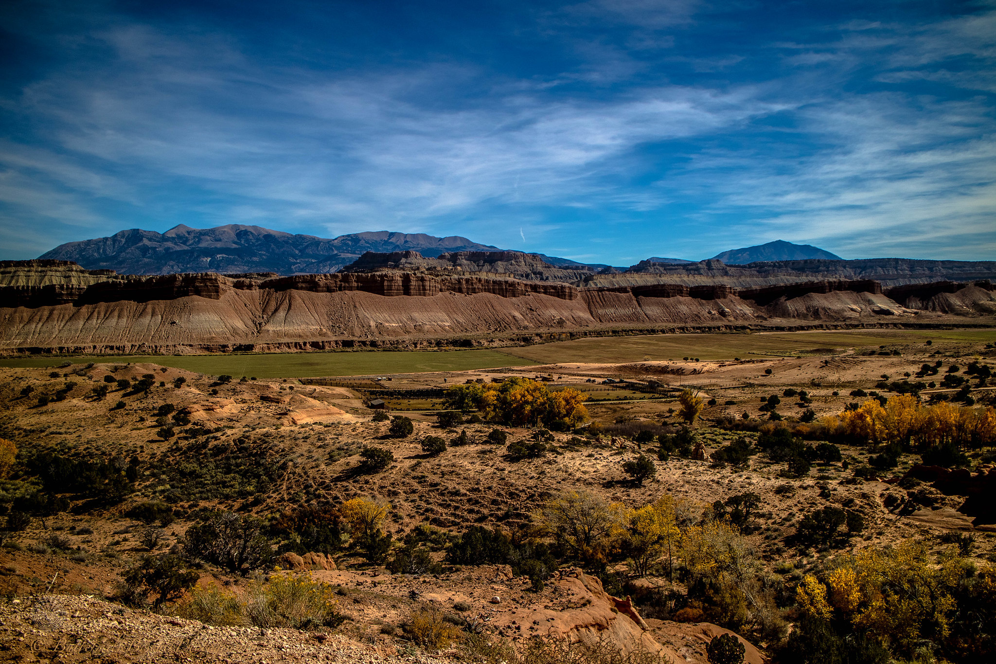
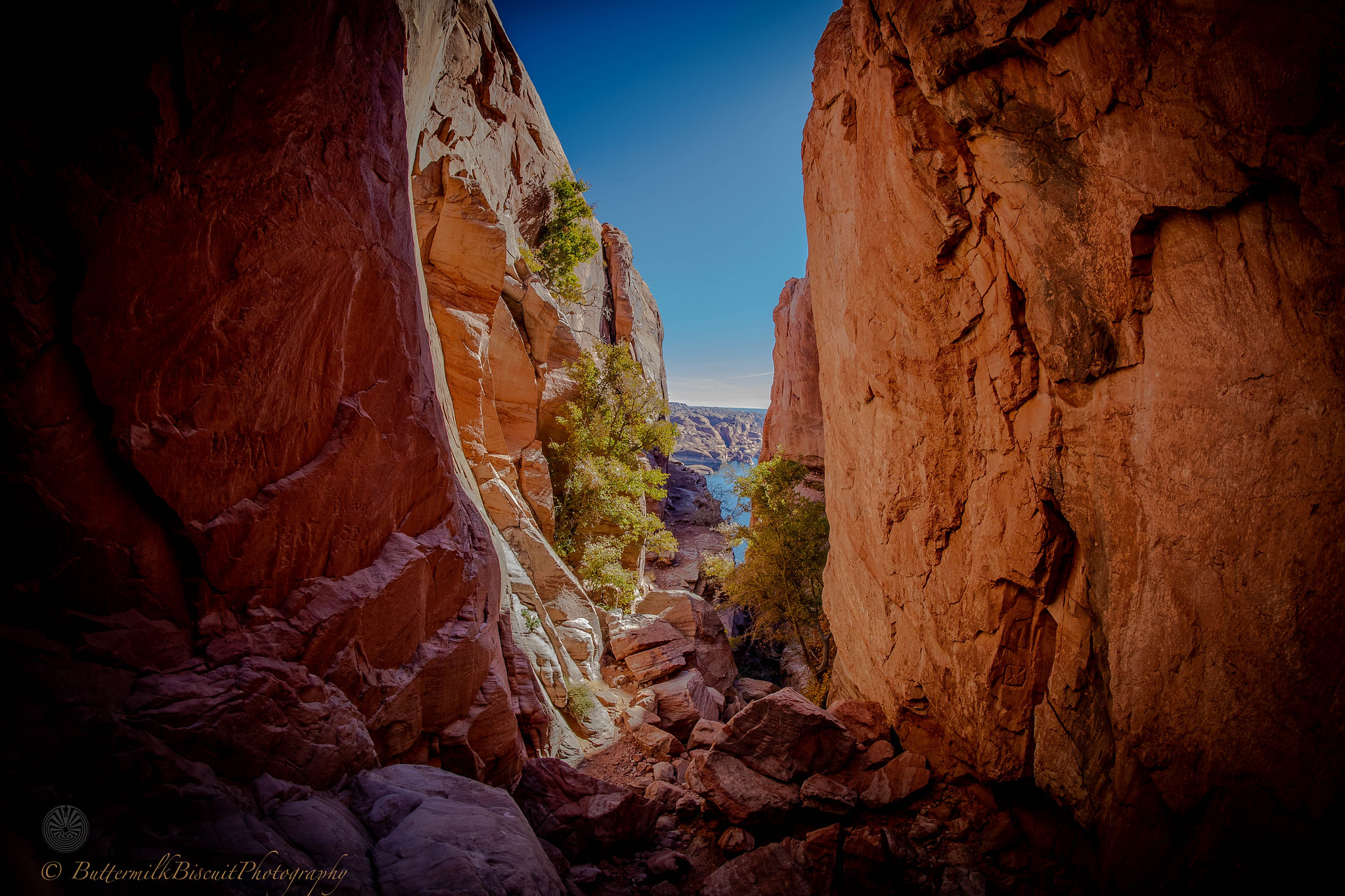
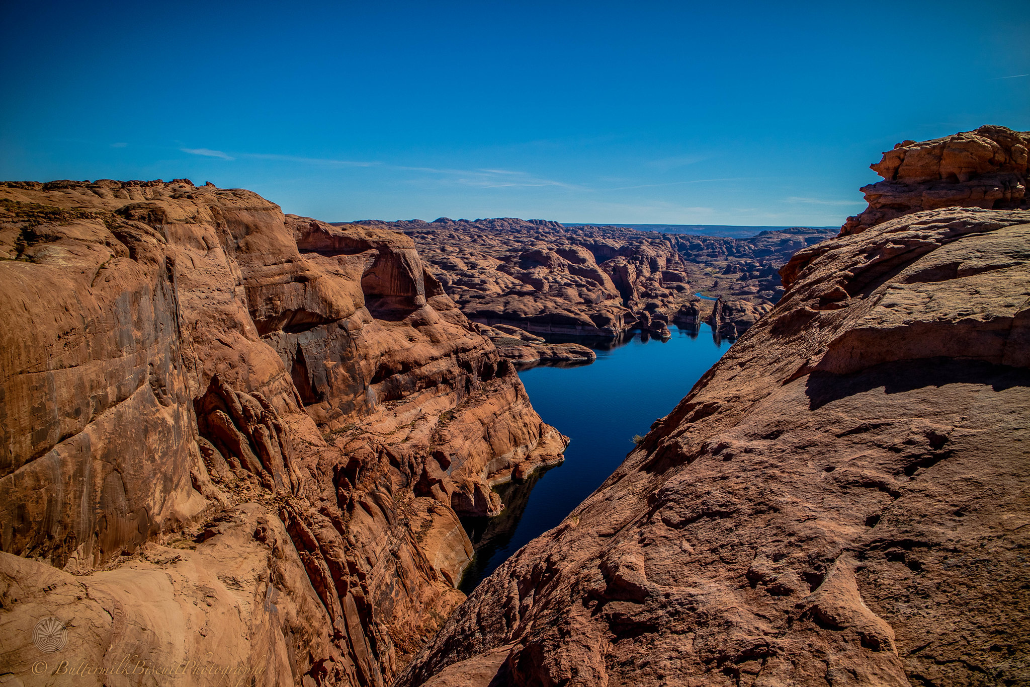
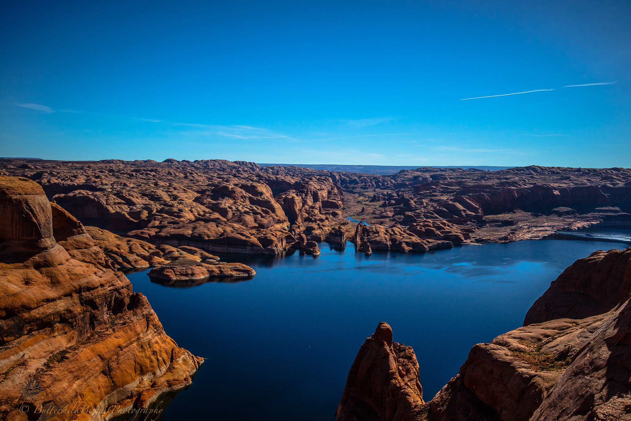
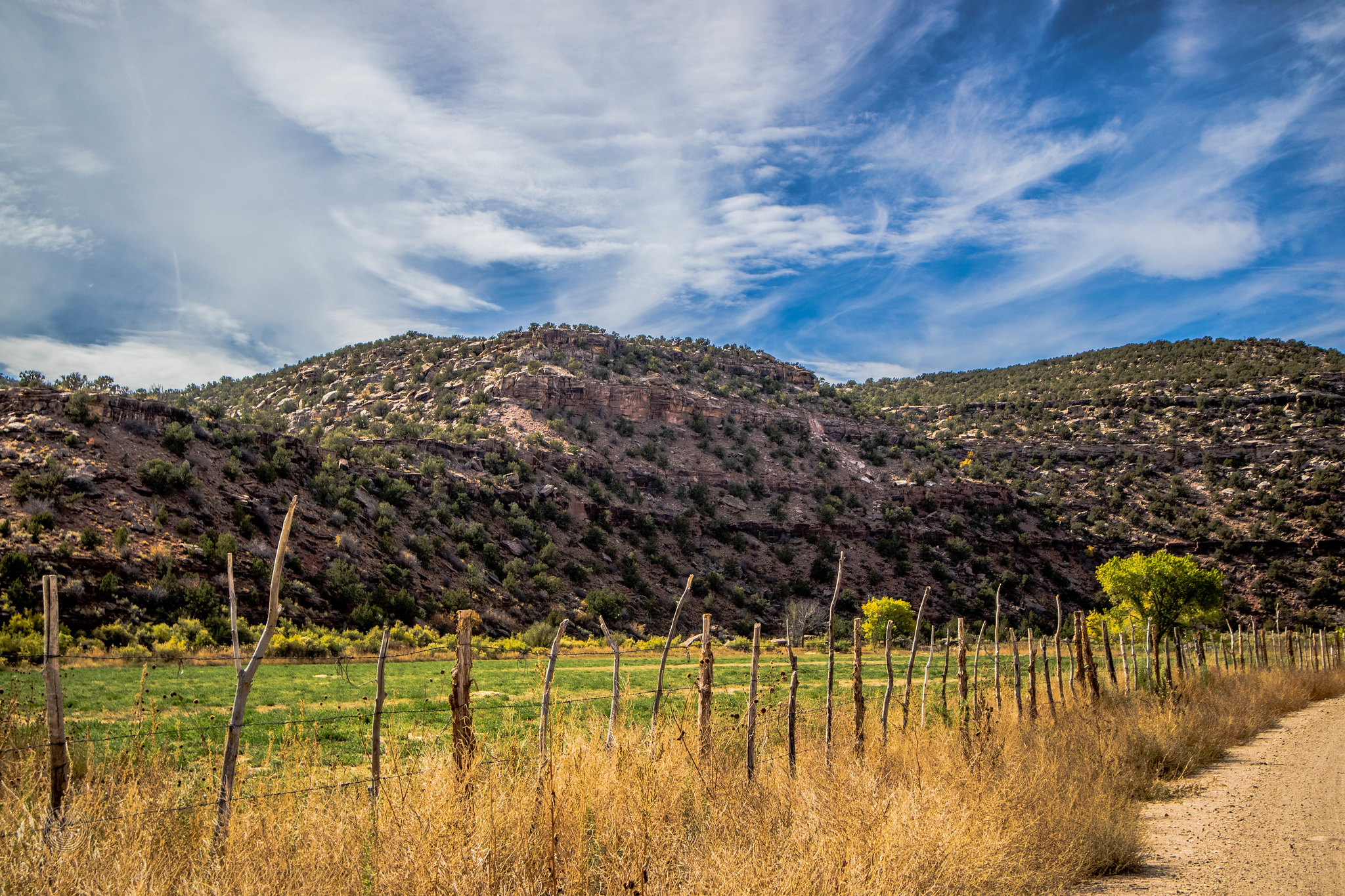
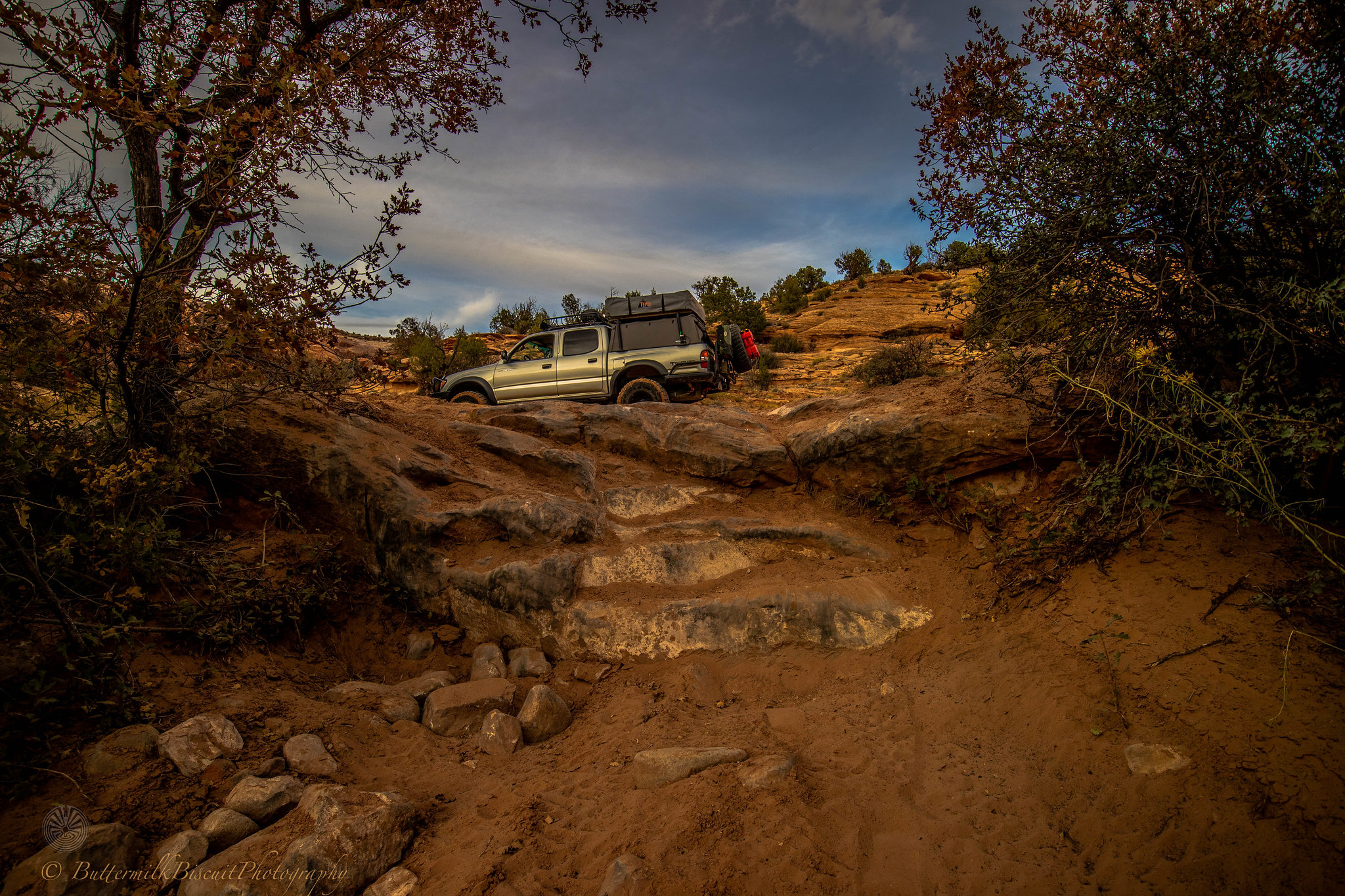
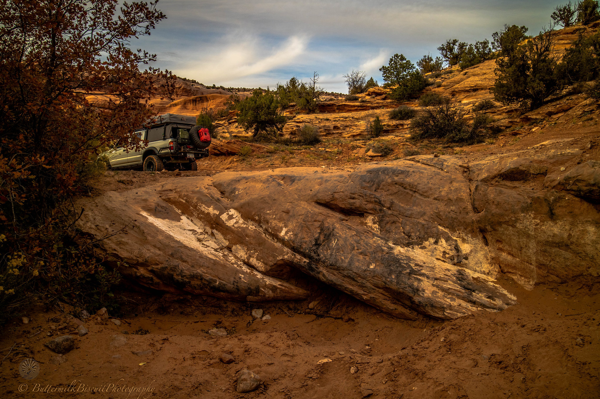
Kane Springs Rd connecting with Lockhart Basin
 IMG_018 by Buttermilk Biscuit, on Flickr
 IMG_019 by Buttermilk Biscuit, on Flickr
 IMG_020 by Buttermilk Biscuit, on Flickr
 IMG_021 by Buttermilk Biscuit, on Flickr
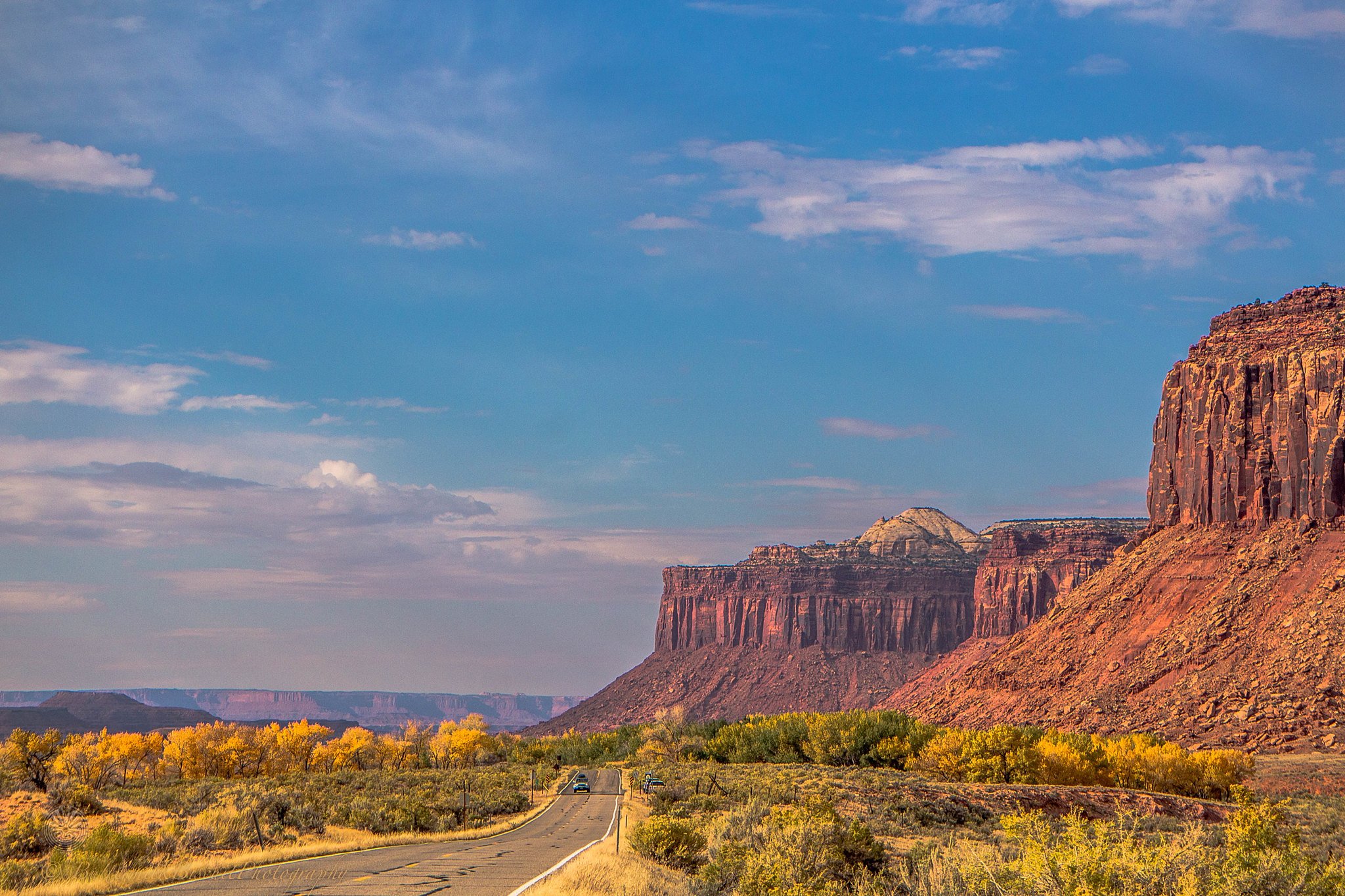
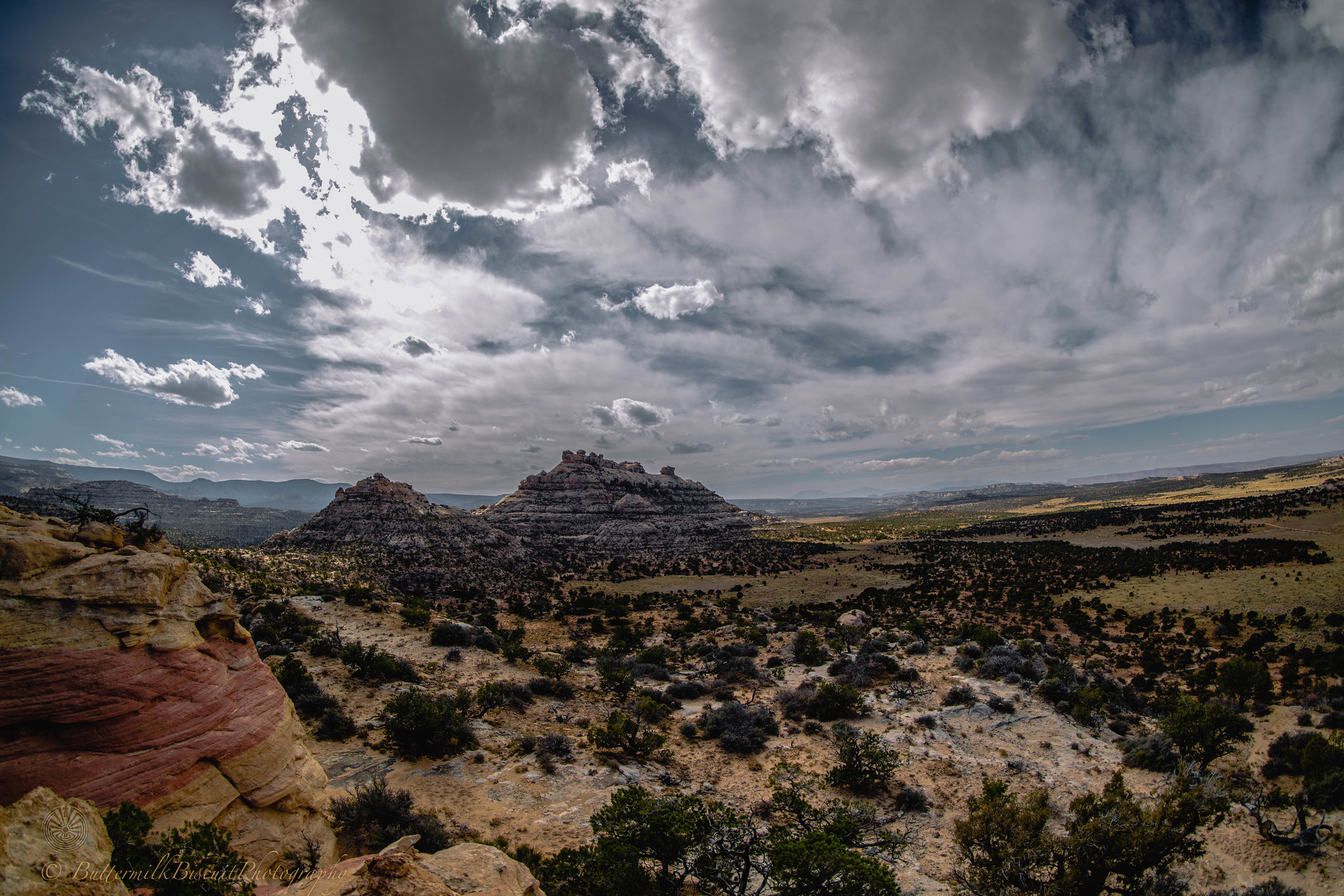
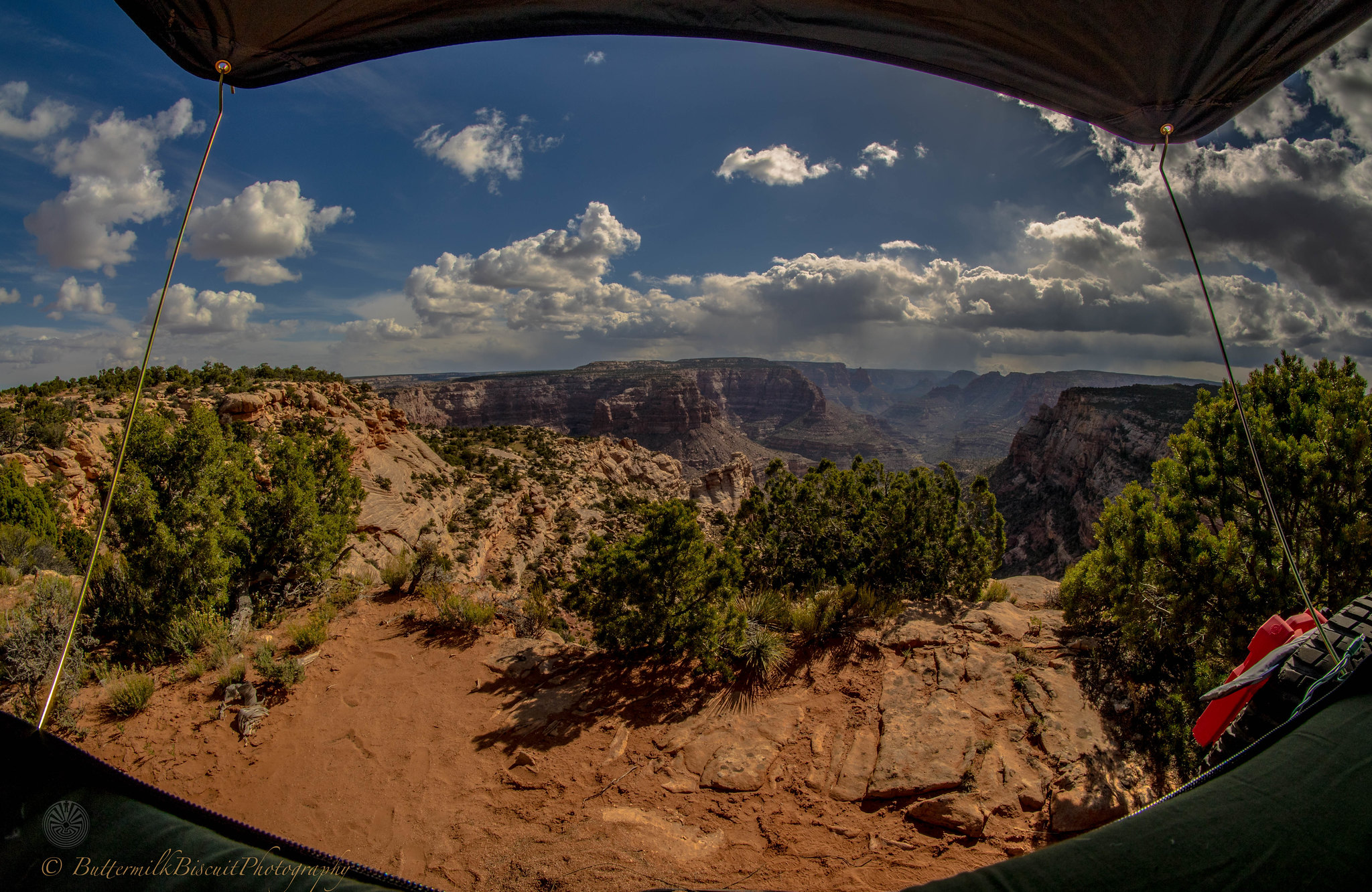
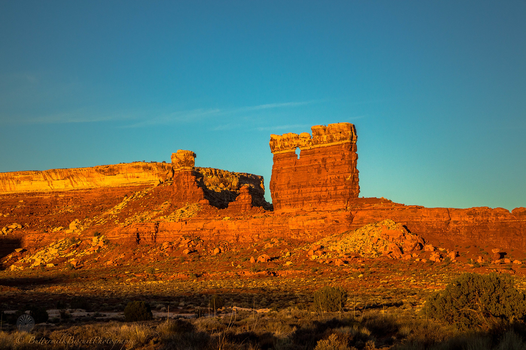
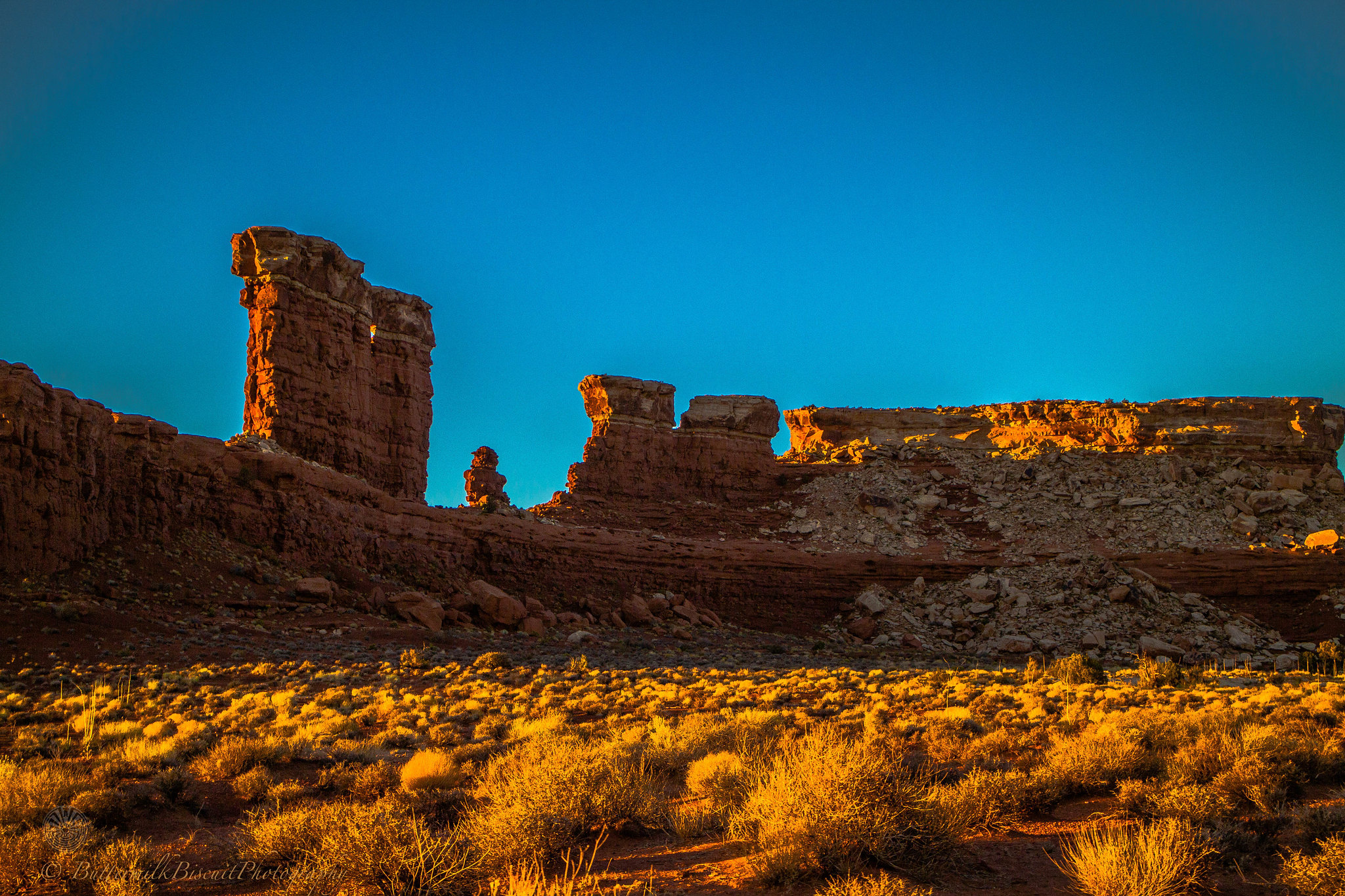
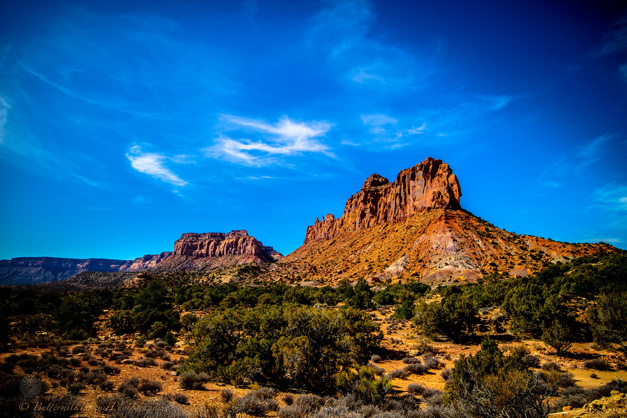
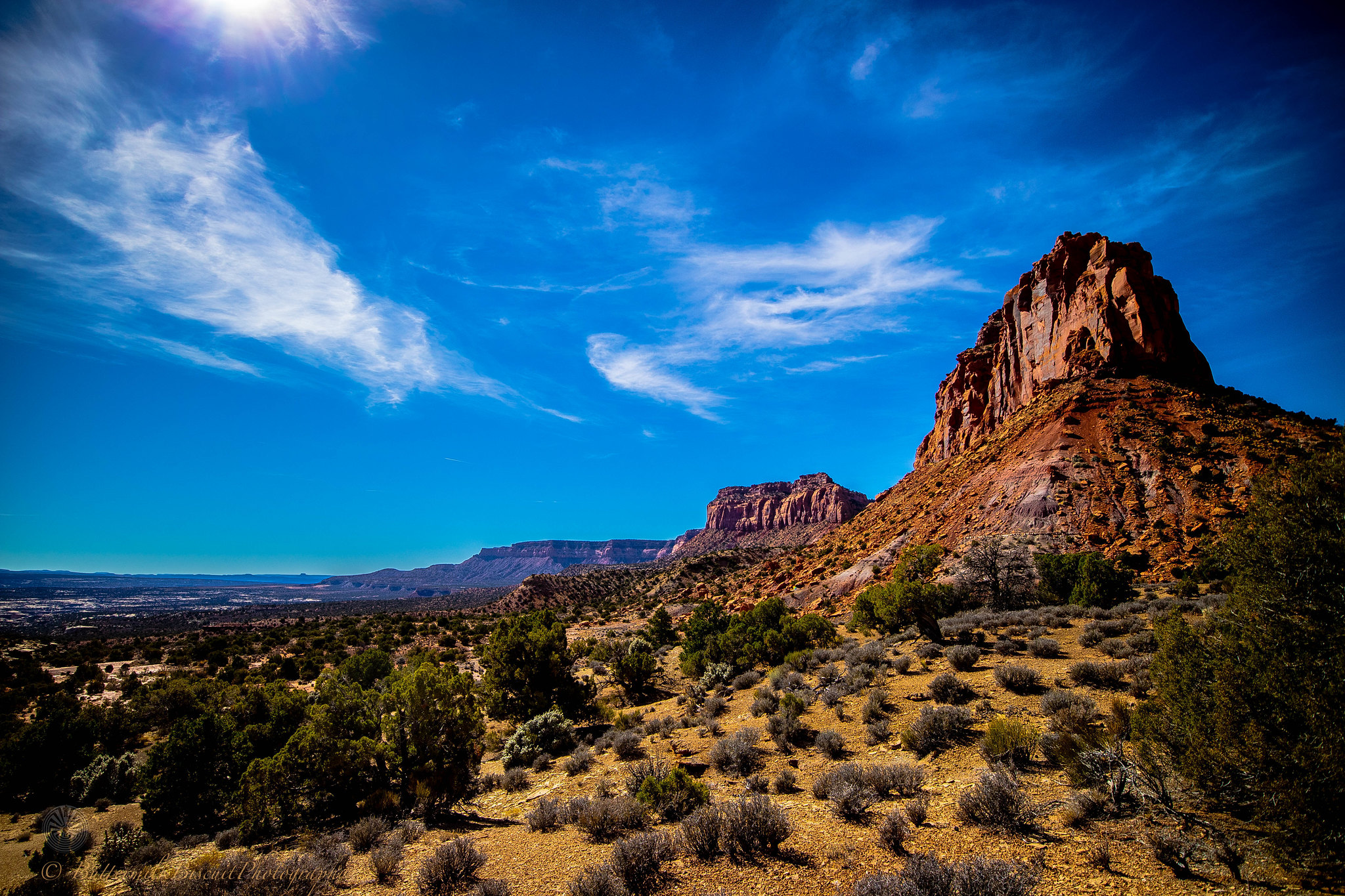
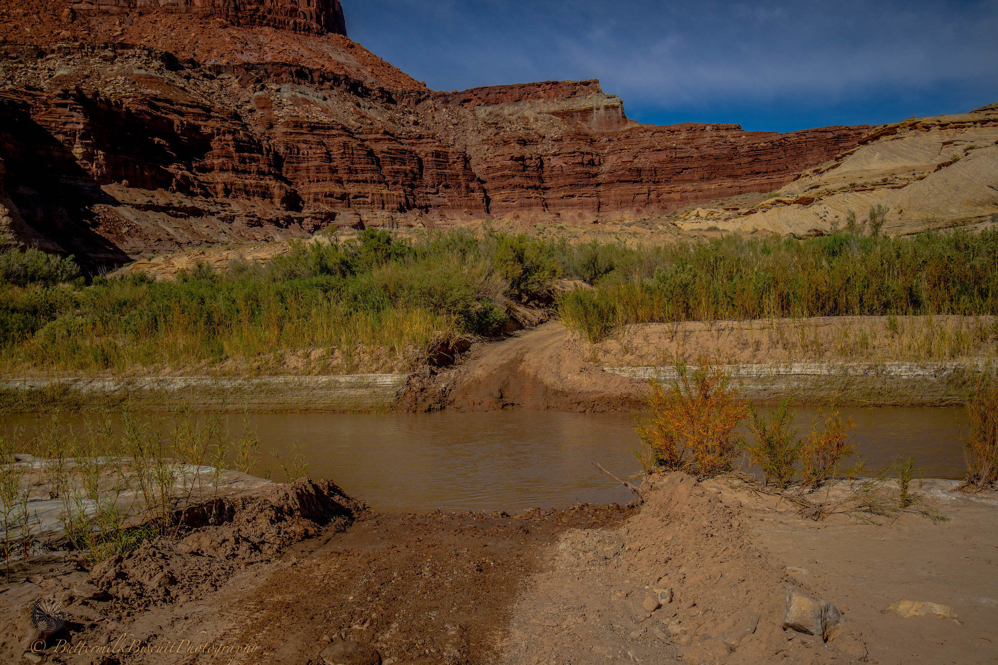
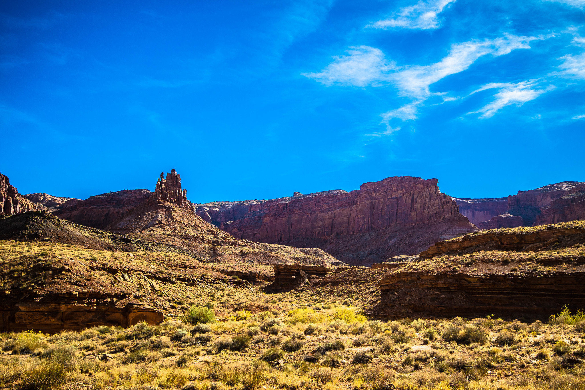
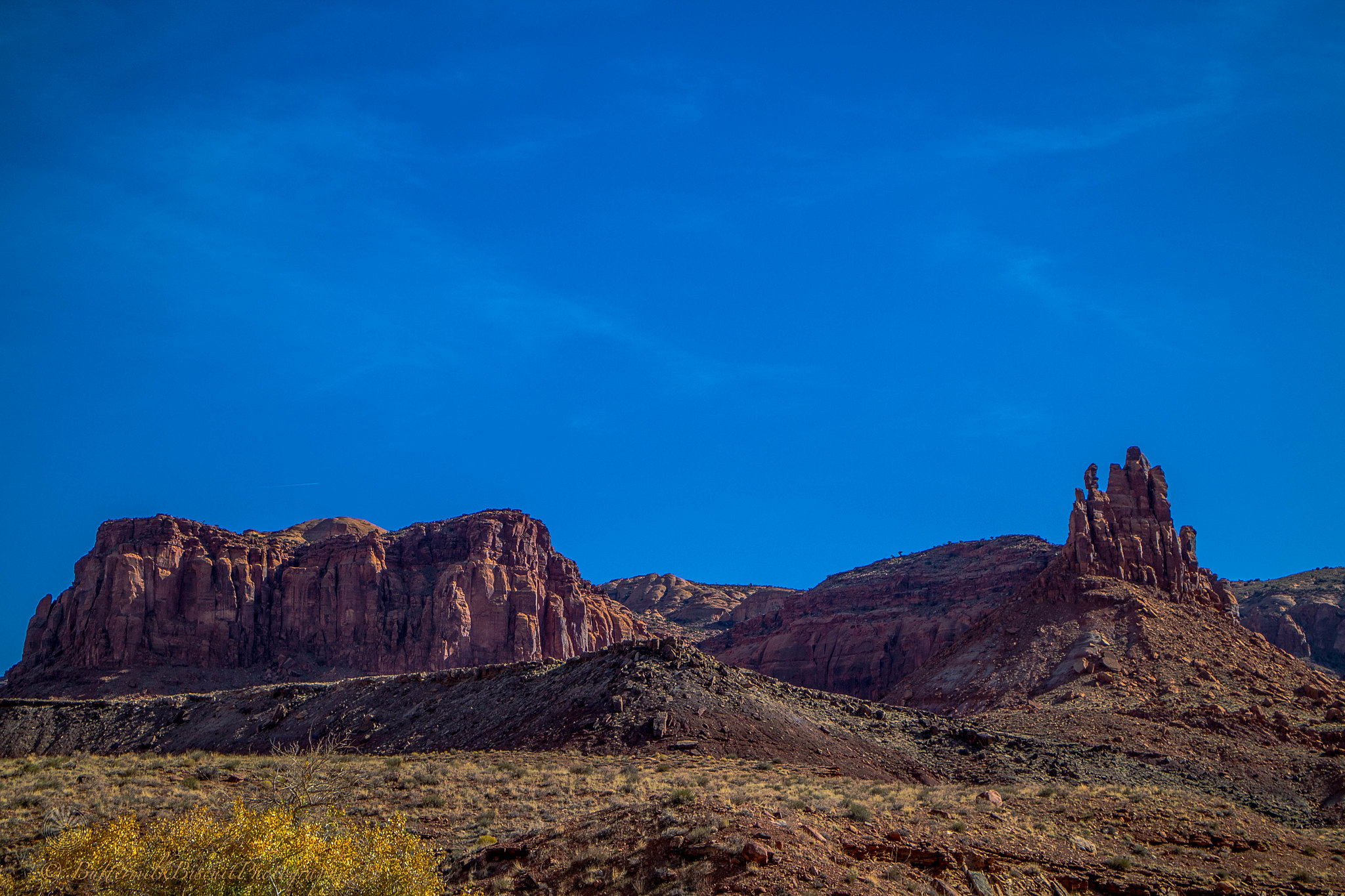
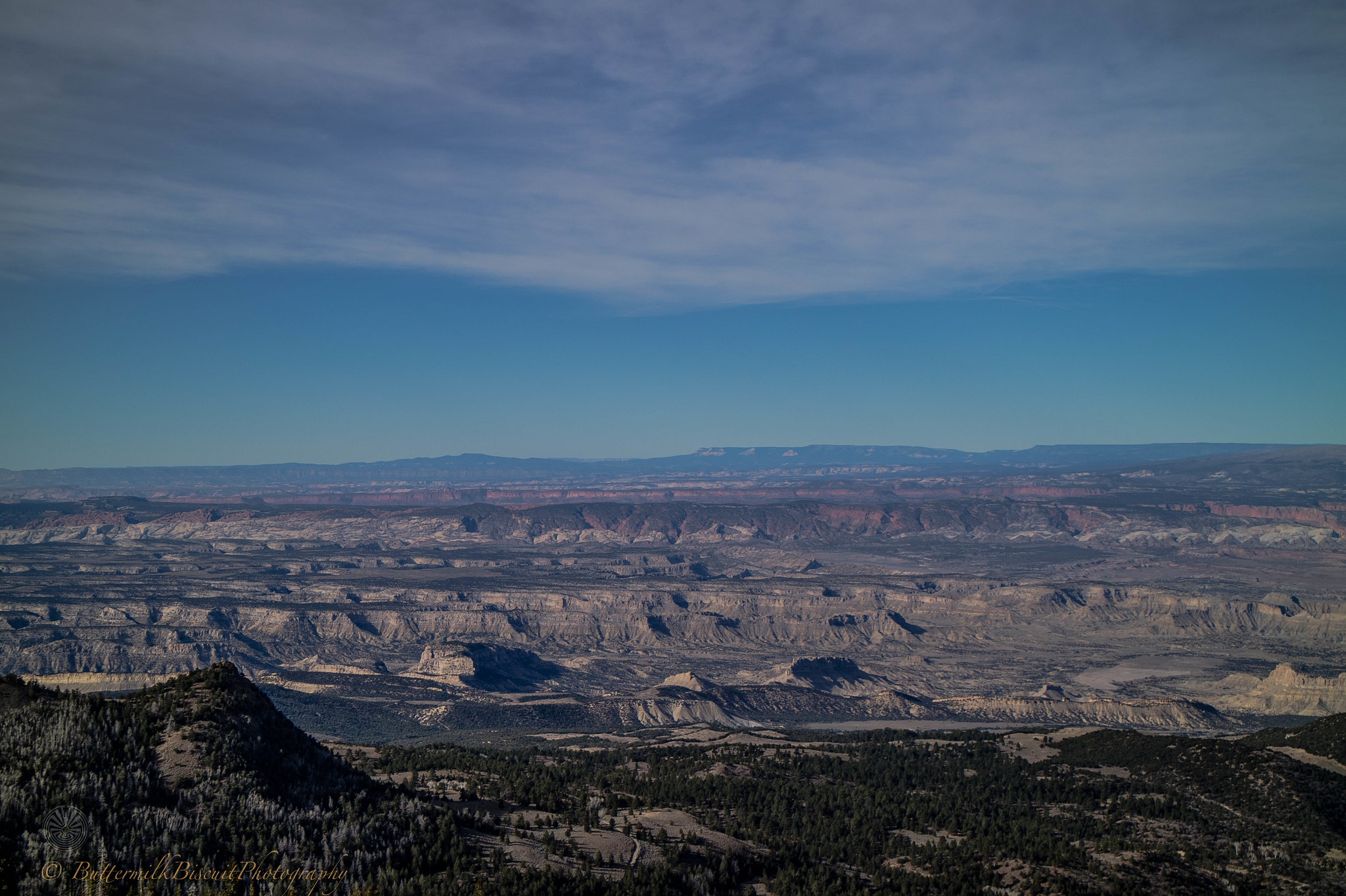
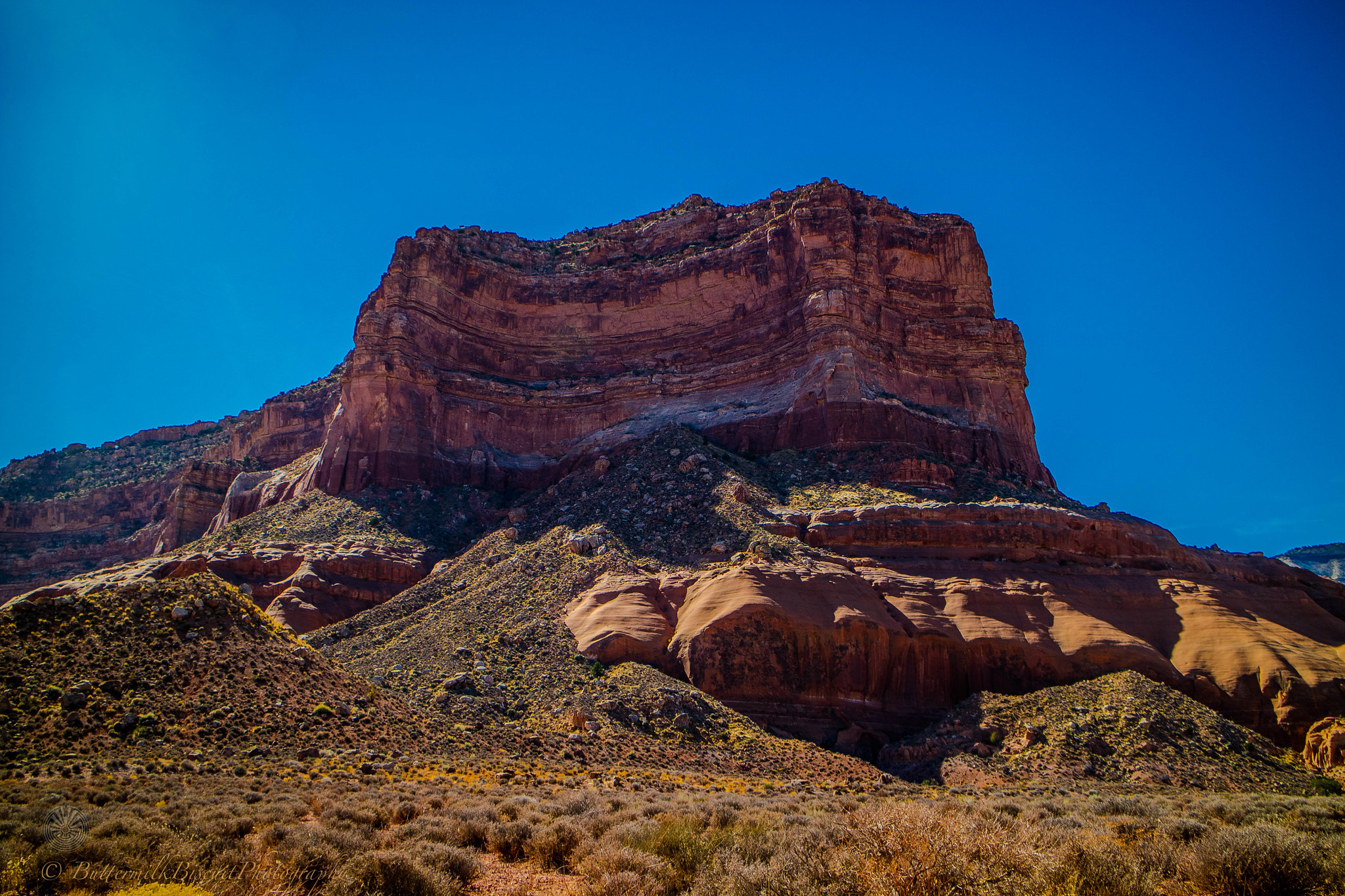
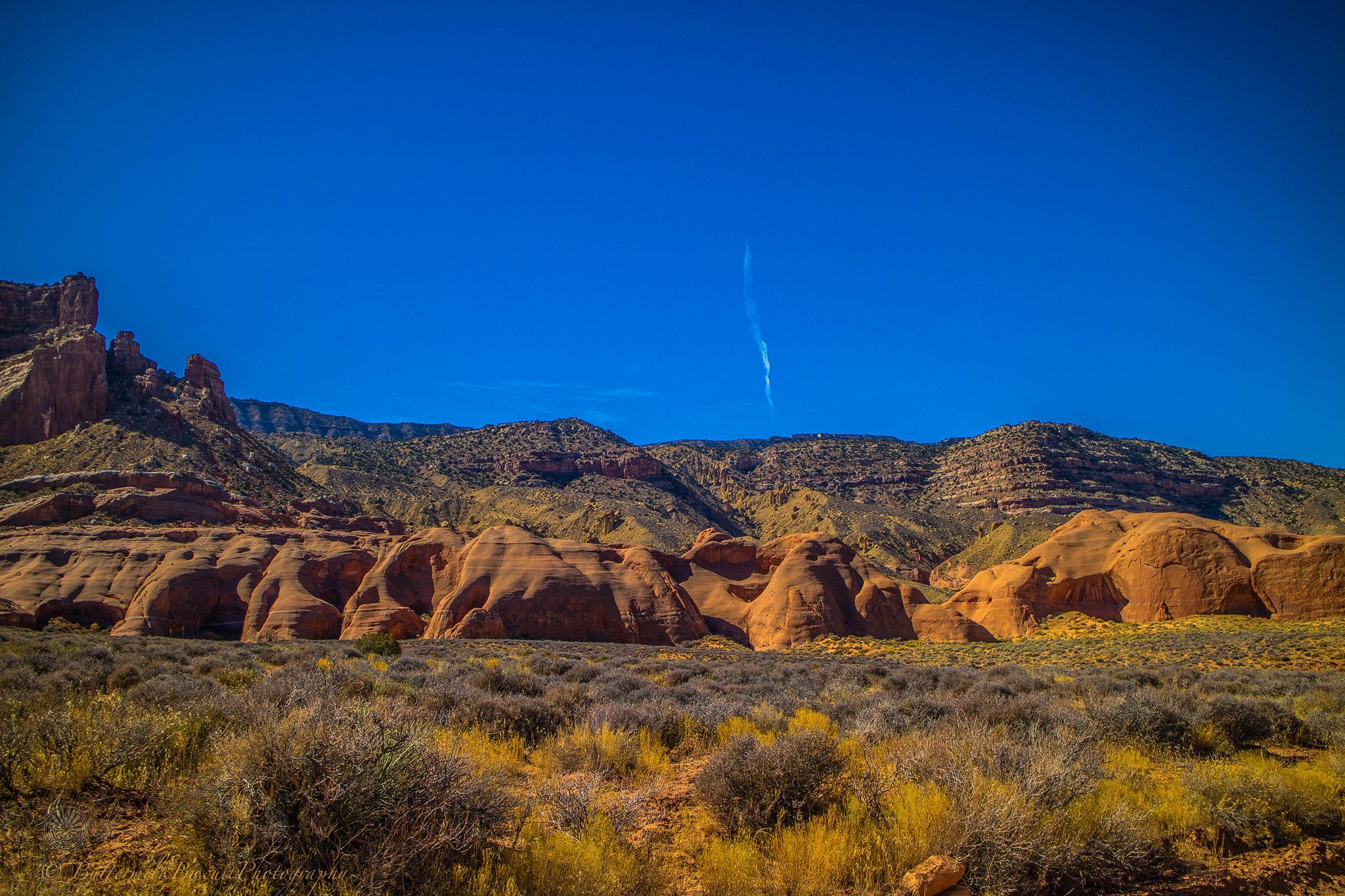
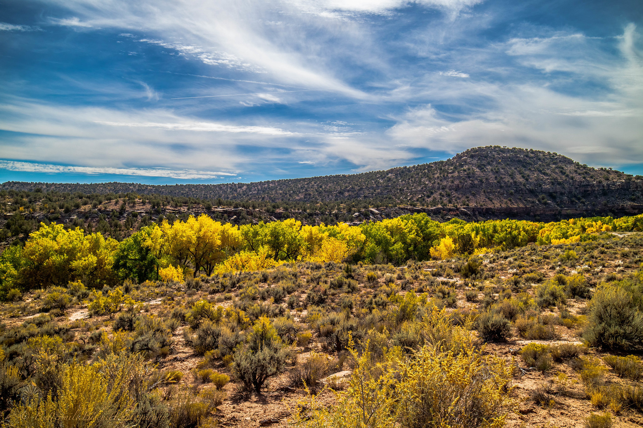
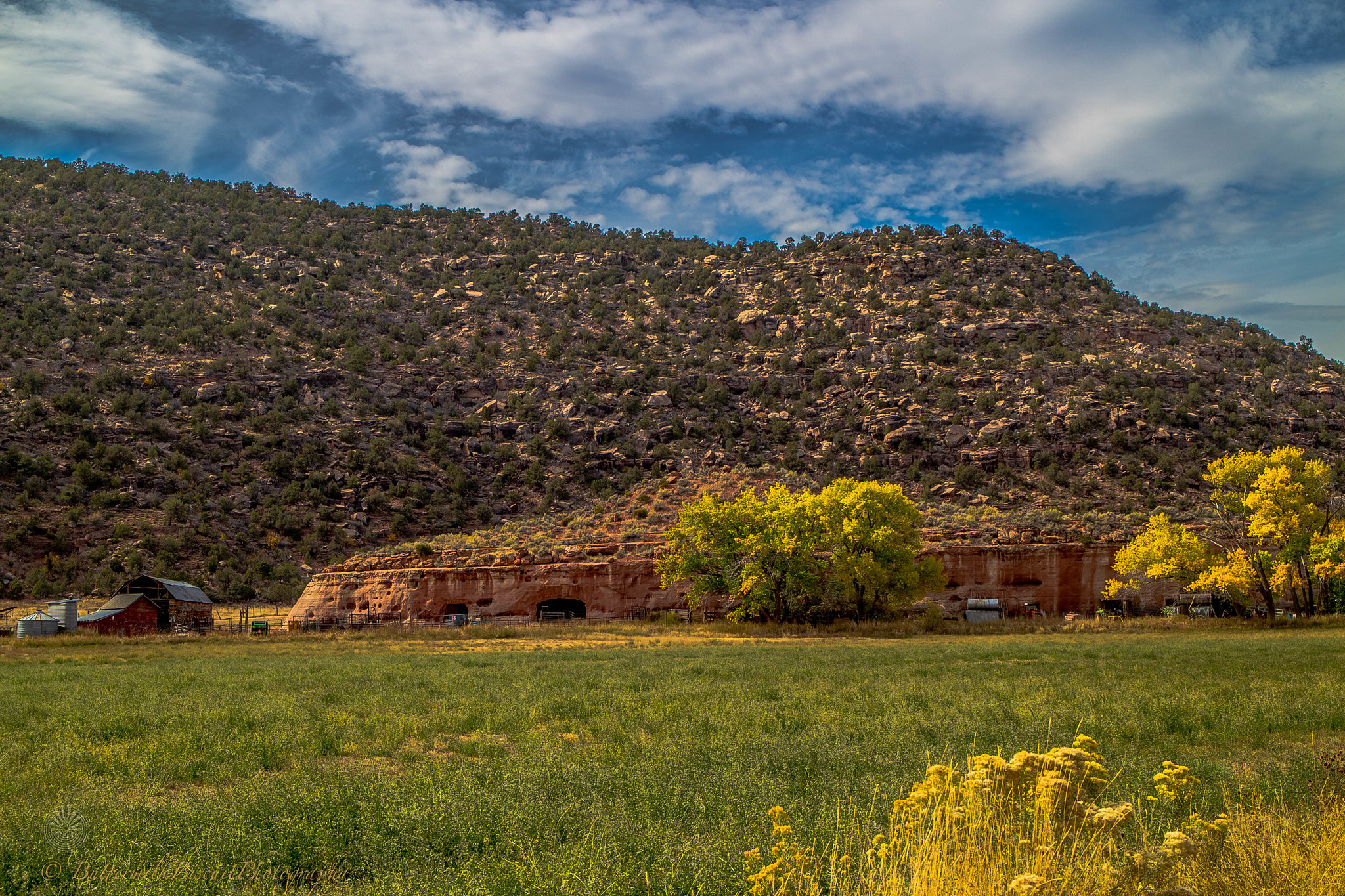
Indian Creek Scenic Byway
 IMG_023 by Buttermilk Biscuit, on Flickr
 IMG_024 by Buttermilk Biscuit, on Flickr
The trail in-itself (any-which way you want to travel it) is close to a thousand miles of dirt and my full mileage was 1,980 miles from and ending back in N/ Central Arizona. $400 dollars of gas was spent on the entire trip. I averaged 14mpg on the dirt portions. Which is .5 mpg over my street average! I was pretty happy about that, because I budgeted $1,000 for the trip and only spent a little over half that…
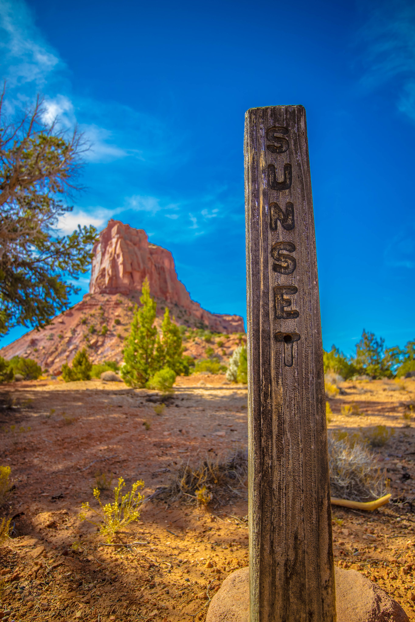
Most of my trip, the roads were well maintained. Besides for Beef Basin, Sunset Pass/ Hatch Canyon, Hole in the Rock Rd and up-and-over the Henry Mountains the particular route I took was 2wd HC capable. But rains can change the terrain of the desert quick. The off-road route (until nearing Kanab) was extremely desolate. In NF and the NR areas, this time of year were heavy with hunters; so be aware of that when hiking.
All the National Parks were packed! The further from asphalt I got the less people (and trash) I generally found. But almost everyday I’d see at least one suburbanite slob on a dirt road in their rented RV or cargo-carrier equipped suv; driving three miles an hour, avoiding every nickel-sized rock (all-the-while driving) in the (middle of the) road.
For anyone wanting to do this trip, it can be done in five days if you’re early to rise and enjoy driving well into the night. Early October would probably be the best “after-summer” time to go. Monsoonal weather/extreme heat are usually over by then.. Mid to late October was nice, but no shortage of skin-stinging wind on some evenings. I monitored NOAA weather radio everyday and the weather report would shift from a positive three-day outlook to an outlook the next day of 50-70mph winds within an hour of the previous report. But all-in-all the highs averaged 75-83℉ in the day to 38-51℉ at night. Higher elevations dropped those temps 20℉-30℉ and similar lower temps when there was cloud cover or when the wind kicked up. I used my Little Buddy Propane heater almost every night. At 10,000’ in the Henry Mountains I had to don a balaclava, gloves and winter jacket to set up camp. And a few nights I had to wrap up in my 20℉, 40℉ and two 15℉ mummy bags all while sporting my long johns and a cap to get through the night. Most of the days I was shirtless in shorts in my flipflops.
The trip started in Cortez, CO and I got as far as Hurricane, UT before I scraped the rest of the way to the Nevada boarder and headed back into N. Arizona for more backcountry then up to the Kaibab Plateau and then onto the North Rim…
I didn’t pre-plan the trip. I planned to drive to Cortez from home, camp that night, and figure where to go the next day. Every night after setting up camp, I cracked open an adult beverage and consulted my trusty Benchmark Utah Road Atlas and decided the destination for the morning. Not pre-planning my route only screwed me a few times. Most notable; I tried to take Kane Springs Rd (Near Moab) from the 163, west to Lockhart Basin to camp for the night over the Colorado River in Canyonlands NP. Then intersect with Indian Creek Scenic Byway later the next day. But my truck wasn’t nearly competent enough to make it.
But other than that, every route choice I made was perfect and I had a great time, no regrets.
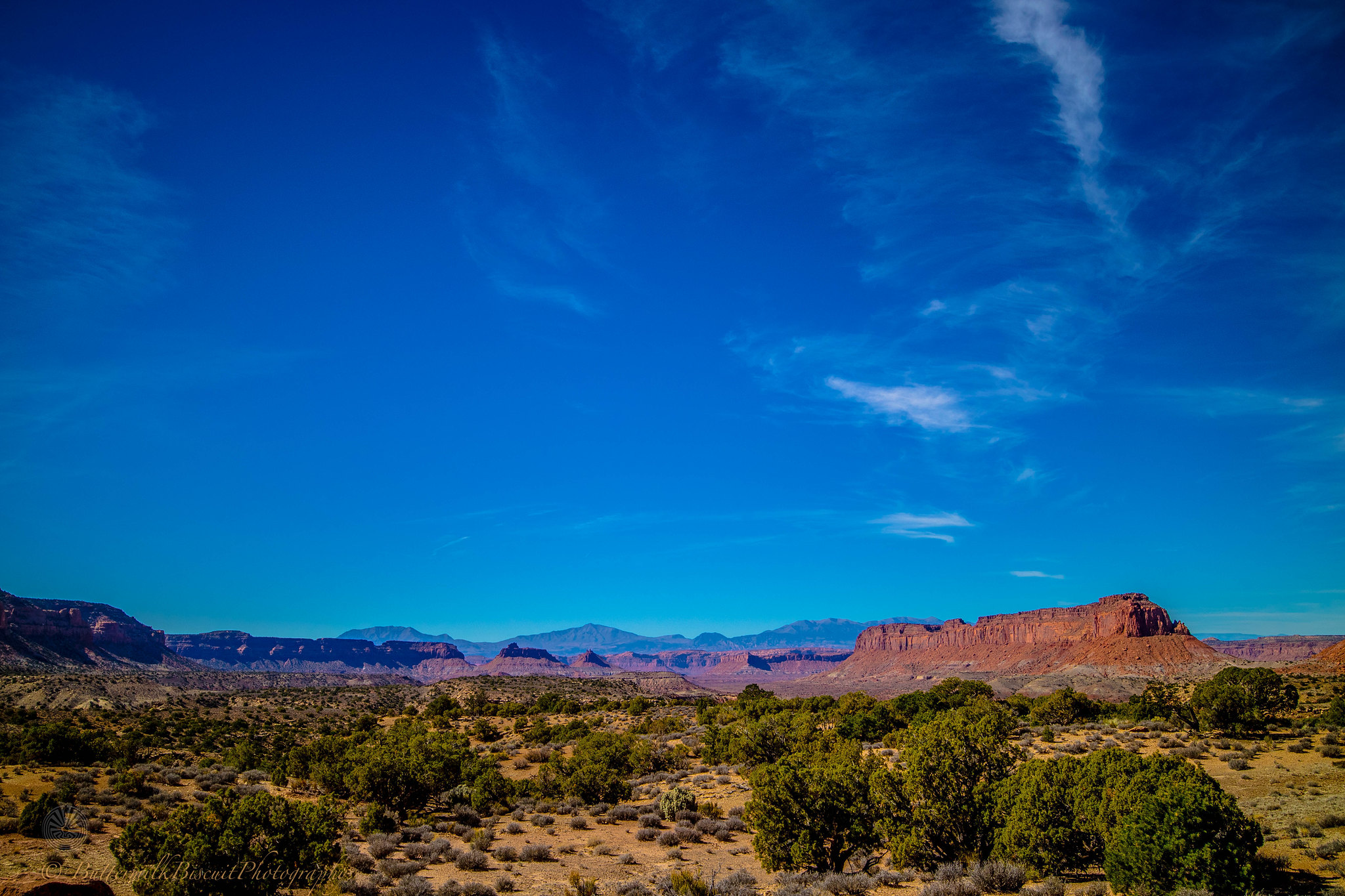
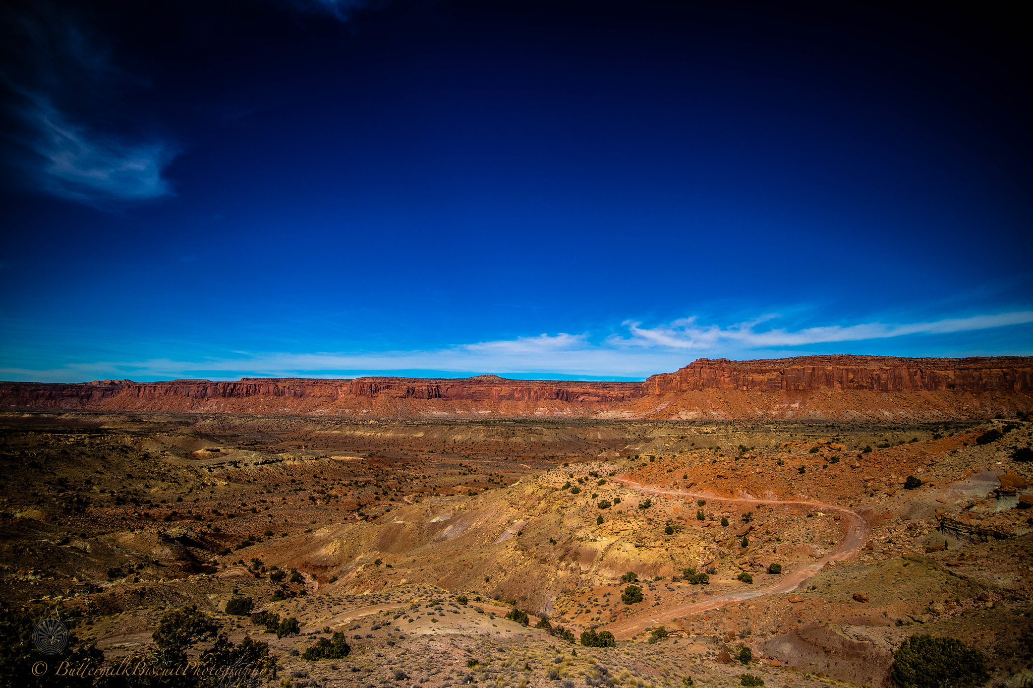
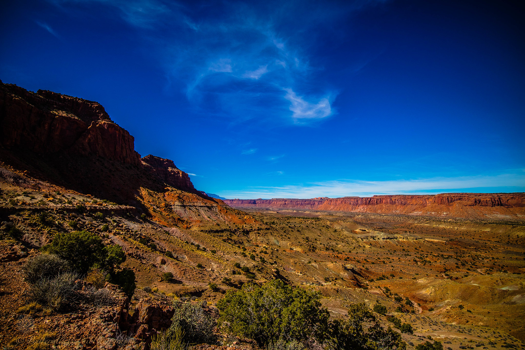
Pure isolation. From gorgeous sunsets, to massive vistas, unbelievable red-rock formations, native american ruins and long forgotten pioneer homesteads un-touched and un-trampled by civilization. Southern Utah is extremely unique and special and I hope it stays exactly the way it is.
Public lands traveled & visited were Canyons of the Ancients Nation Monument-CO, Hovenweep NM-UT, Canyon Rims Rec Area-UT, Bears Ears NM (Indian Creek Scenic Byway/ Beef Basin)-UT, , Manti-La Sal NF-UT, Glen Canyon NRA-UT, Pink Cliffs/ Hatch Canyon-UT, Poison Springs Canyon-UT, Henry Mountains-UT, Capitol Reef NP-UT, Grand Staircase Escalante NM (Burr Trail Scenic Backway/ Smokey Mtn Road/ Cottonwood Canyon Rd/ Skutumpah-Johnson Canyon Rd)-UT, Dixie NF-UT, Hole-in-the-Rock Rd/ GSENM/GCNRA-UT, Bryce Canyon NP, Coral Pink Sand Dunes SP-UT, Vermillion Cliffs NM-UT/AZ, Zion NP-UT, Kaibab NF-AZ and the North Rim of Grand Canyon NP.
I thought about doing a trip report. But honestly, I’m not creative enough to make it sound interesting. It really was an ordinary A-to-B trip. Nothing went wrong. I didn’t run into someone else that had their **** go wrong. On top of that social media is just ruining the backcountry and outdoor sites in general, furthering me to not be too detailed.
So I’m not going to list specific spots of where the exact pictures have been taken. I’ll try to include a bit of info in some of the pictures.
Enjoy the picture dump.
Hovenweep
IMG_001 by Buttermilk Biscuit, on Flickr
IMG_002 by Buttermilk Biscuit, on Flickr
IMG_003 by Buttermilk Biscuit, on Flickr
IMG_004 by Buttermilk Biscuit, on Flickr
IMG_007 by Buttermilk Biscuit, on Flickr
IMG_008 by Buttermilk Biscuit, on Flickr
IMG_009 by Buttermilk Biscuit, on Flickr
IMG_011 by Buttermilk Biscuit, on Flickr
IMG_013 by Buttermilk Biscuit, on Flickr
IMG_014 by Buttermilk Biscuit, on Flickr
IMG_016 by Buttermilk Biscuit, on Flickr
IMG_017 by Buttermilk Biscuit, on FlickrKane Springs Rd connecting with Lockhart Basin
IMG_018 by Buttermilk Biscuit, on Flickr
IMG_019 by Buttermilk Biscuit, on Flickr
IMG_020 by Buttermilk Biscuit, on Flickr
IMG_021 by Buttermilk Biscuit, on FlickrIndian Creek Scenic Byway
IMG_023 by Buttermilk Biscuit, on Flickr
IMG_024 by Buttermilk Biscuit, on Flickr