eastern Sierras and Tioga Pass into Yosemite
But I had a problem. My dog and traveling buddy Pepper had started getting sick every time we went somewhere. Since I can’t imagine traveling without her for long, I was worried that things would have to change. We made some attempts in the fall to get to San Francisco to meet the newest cousin that didn’t work out. One time up route 395 east of the Sierras and over the Tioga Pass to Yosemite.
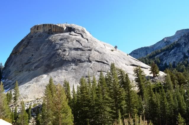
Tioga Pass is the highest paved road west of the Rockies and it closes early in the season, before most of us are even thinking about winter.
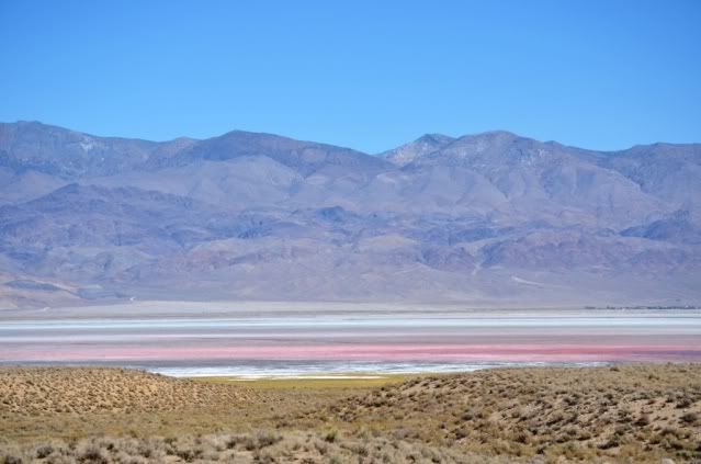
So past colorful Owens Lake:
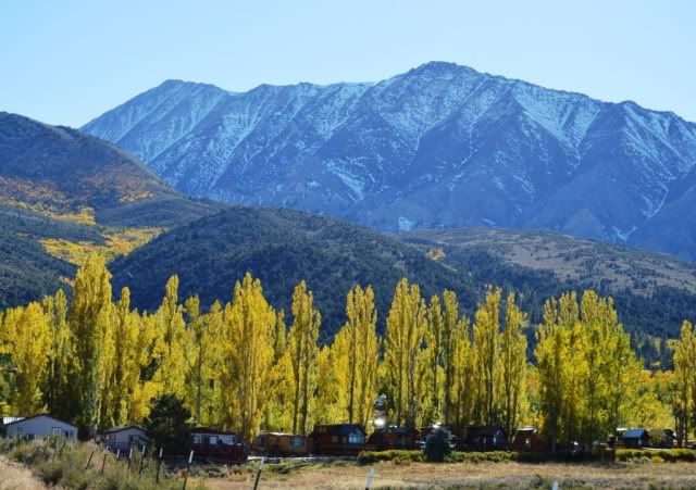
Changing fall colors near Crowley Lake
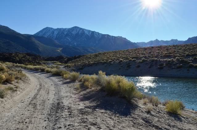
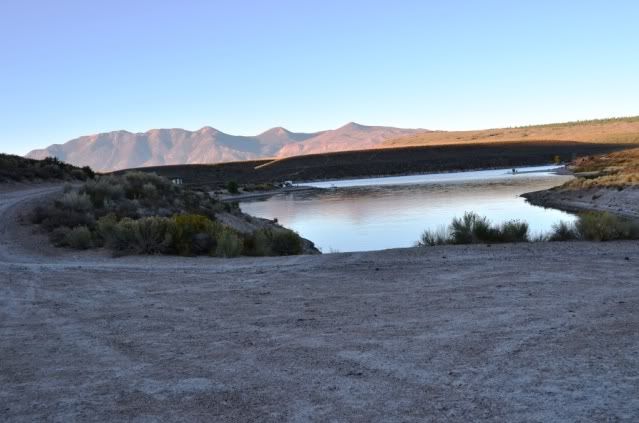
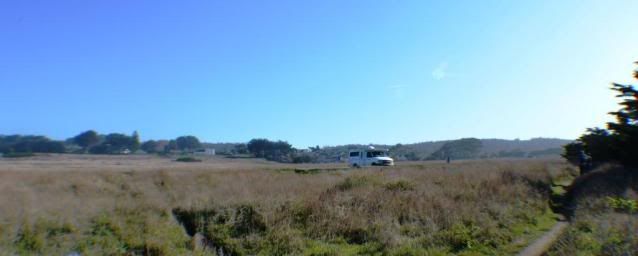
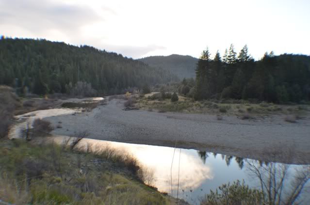
Beaver Cove on Crowley Lake, a huge fishing lake and wonderful primitive camping spots. I’ve driven past here many times, but had never stopped because it’s right next to 395. I’ll go back, lots to explore here.
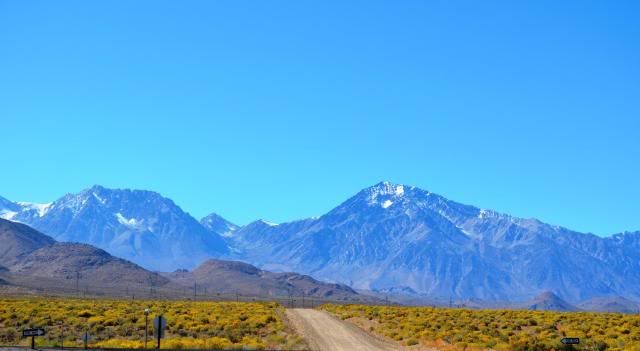
Sierras view, a stop along 395
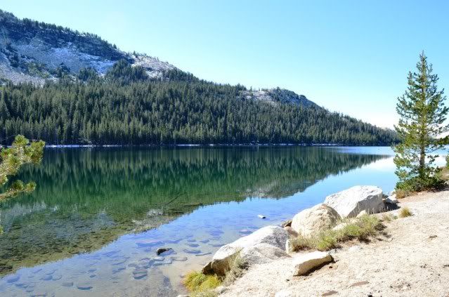
Tenaya Lake along Tioga Rd in Yosemite NP
Turning off Tioga Rd into the valley is a pretty drive but in no way prepares you for the sight when you turn the corner and get your first valley views. There is nothing that a picture can do to portray this - when you see it the breath is just sucked out of your body. It takes every bit of concentration to keep from driving off the road into the view. Fortunately there is a turnout here
")
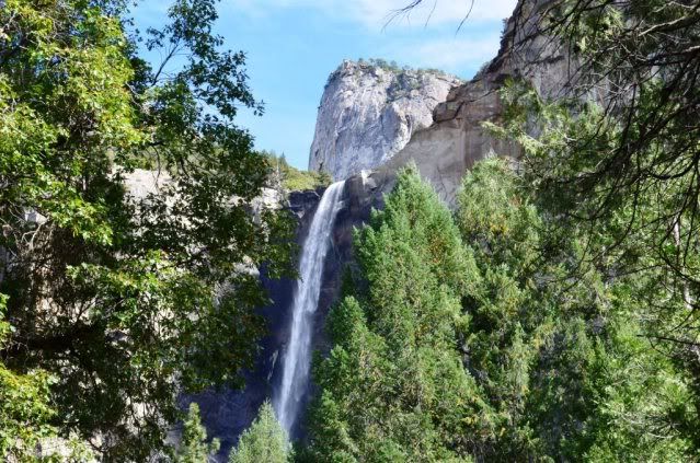
Bridalveil Falls
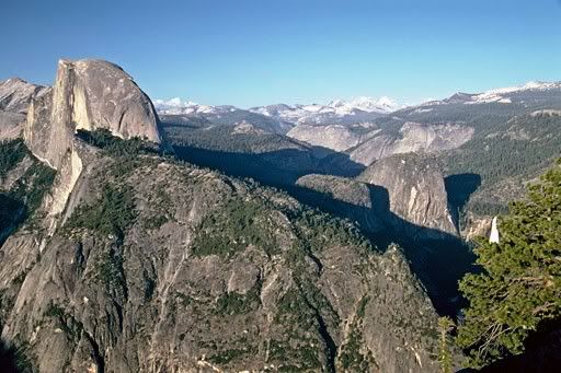
Glacier Point has some awesome overviews of the valley, this is looking east. Half Dome on the left, Nevada falls on the right. I caught it just a few days before the road closed for winter.
With a full moon lighting the night, I had hoped to catch the
moonbows at Upper Yosemite Falls. This is when the light from a full moon is reflected in the spray and makes rainbows in the mist. I scouted it out in the daytime, then set out to find a campground.
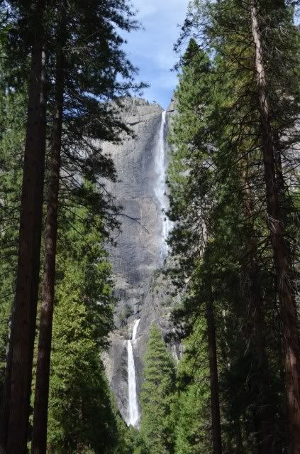
Here’s a daytime shot of Upper and Lower Yosemite falls:
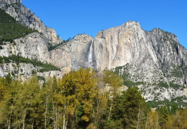
And Upper Yosemite Falls from the meadow:
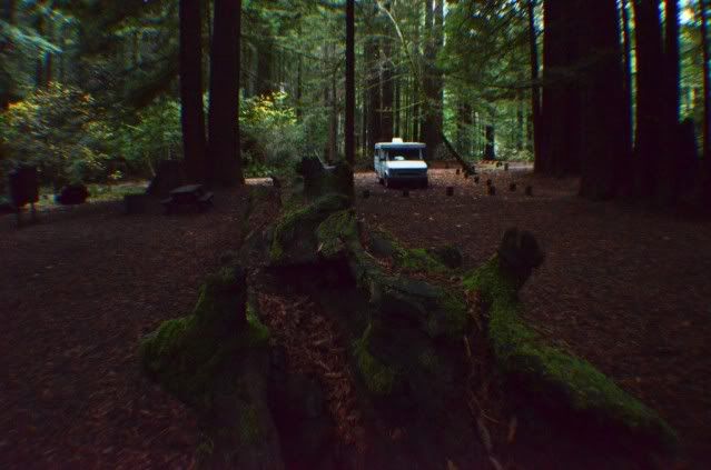
Everything in the park was full – it is Yosemite after all - but we found a CG near Fish Camp just outside the park with an opening.
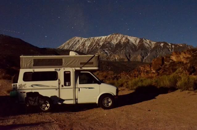
But … drive an hour+ in the dark down a twisty road? Sure, why not? We set out at oh-dark-thirty for the spot.
Too bad moonbows are a snowmelt phenomena, and there wasn’t enough water this late in the year to make enough mist for the show.
So I guess I’ll have to go back in summer to see this:
(from Yosemite Park website)
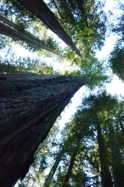
Back to the campground in the wee hours of the morning and a late start. Nearby on the southeast side of the park is a stand of enormous trees, the Mariposa Grove of giant sequoias. Serene and overwhelming, there’s a few mile walk through the forest.
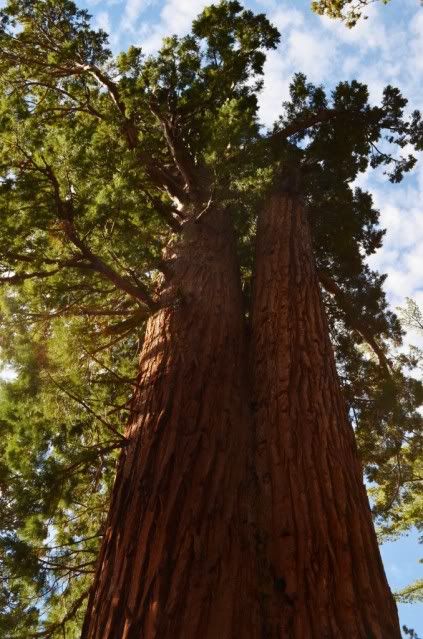
This is "faithful couple" - two trees that have grown together at the base. Most of these giants have names.
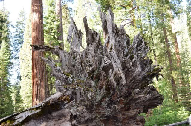
In the Grove, a toppled giant. This is "Fallen Monarch" and they have pictures from the 1850s of troops posing on top of this same tree. Tannic acid in the wood suppresses the growth of bacteria/fungi, so these trees hang around a LONG time after they fall.
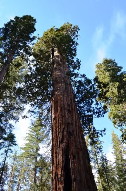
Sequoias are hard to kill, this one's heartwood burned completely away inside but it's still alive and producing cones. If you walk in it and look up you can see the sky. Amazing.
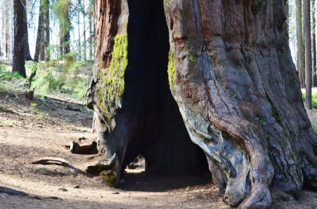
Base of that tree, the "Telescope Tree":
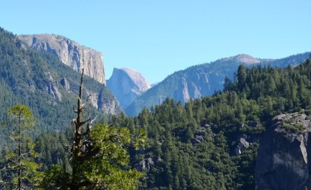
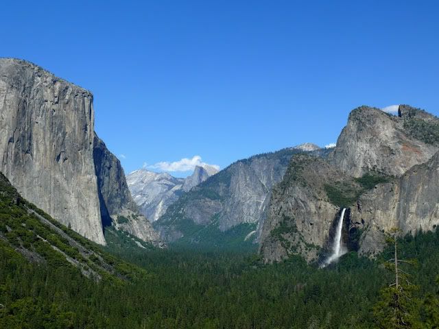
I had thoughts of scouting out the Half Dome hike which I’ve always wanted to do, so back into the valley. Driving Rt 41 we headed through the Wawona Tunnel and emerged at Tunnel View. This spot - the view for Ansel Adams' famous winter photo of the valley - has to be one of the most spectacular views on earth. All of Yosemite Valley is spread out before you from El Capitan to Clouds Rest, Half Dome and Bridalveil Falls.
In the valley I was again assaulted by the sights. Yosemite Falls thundering above the meadows. Half Dome so close it seems you can touch it. El Capitan looming over the valley floor. Definitely a place that makes you feel very small.
I wanted to keep going, but wound up cutting this trip short to get Pepper home, she was really sick.